Elevation of New River Hwy, Briceville, TN, USA
Location: United States > Tennessee > Anderson County > Briceville >
Longitude: -84.314077
Latitude: 36.207645
Elevation: 407m / 1335feet
Barometric Pressure: 97KPa
Elevation Map:
Satellite Map:
Related Photos:
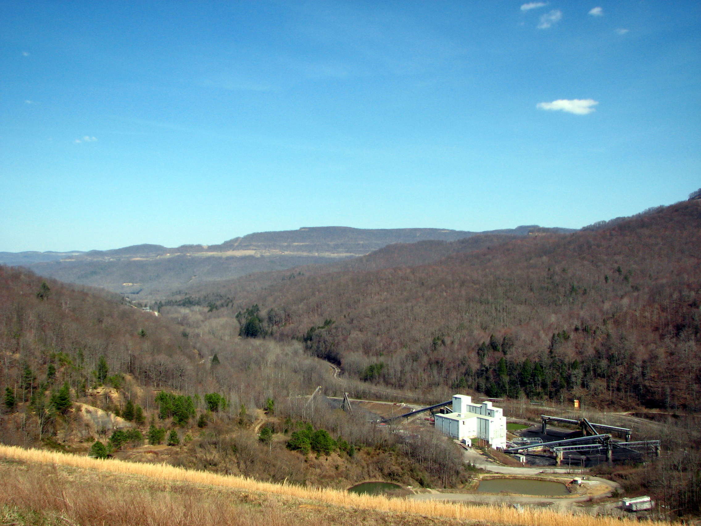
Baldwin Preparation Plant, Devonia
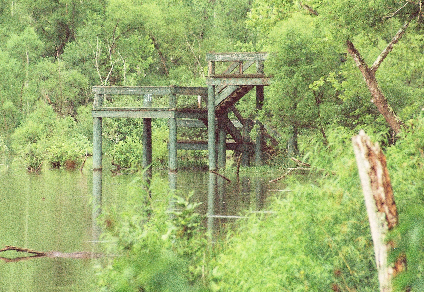
Cove Lake observation platform

Baldwin Preparation Plant, Devonia
Pine Ridge House View
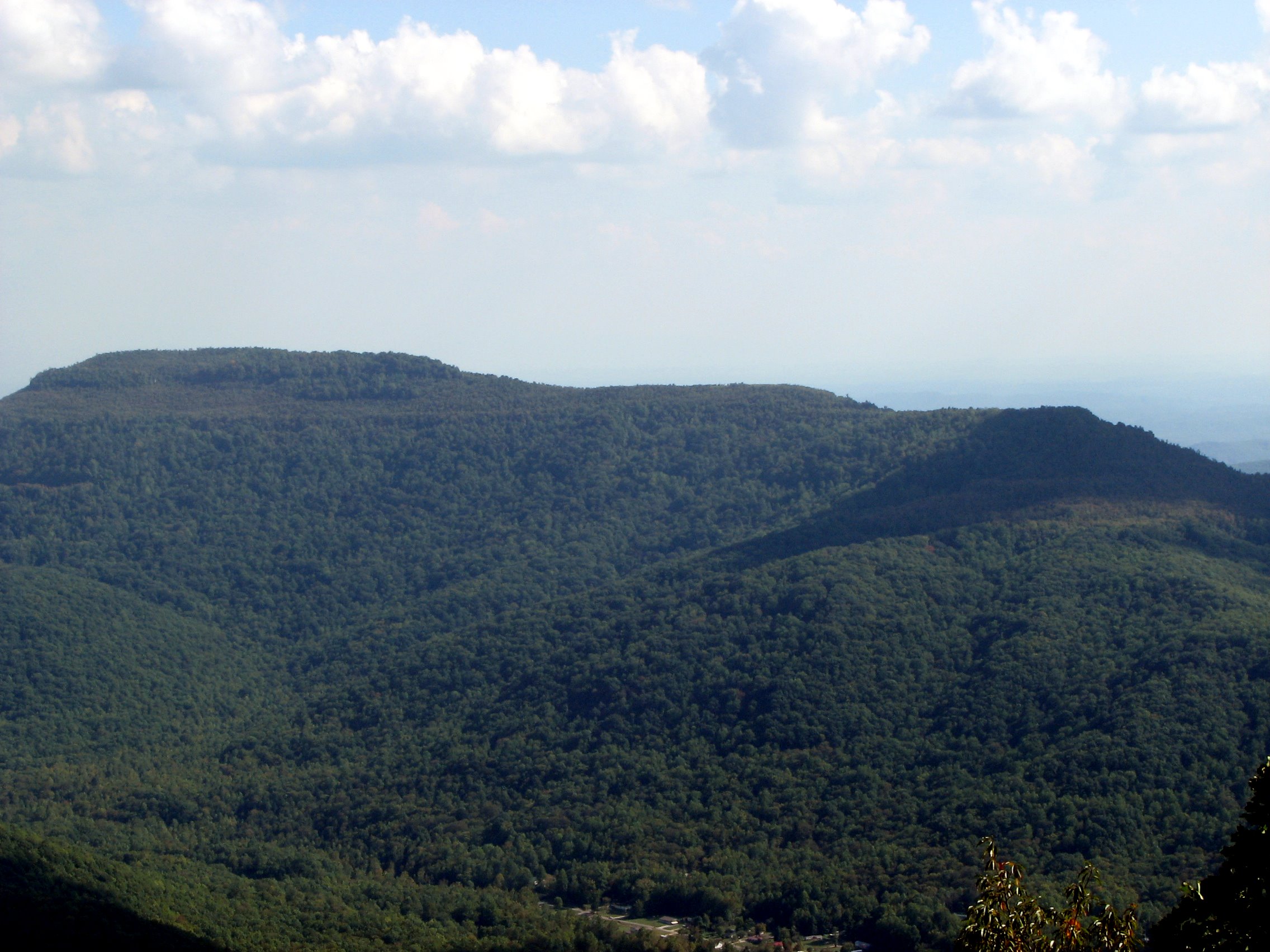
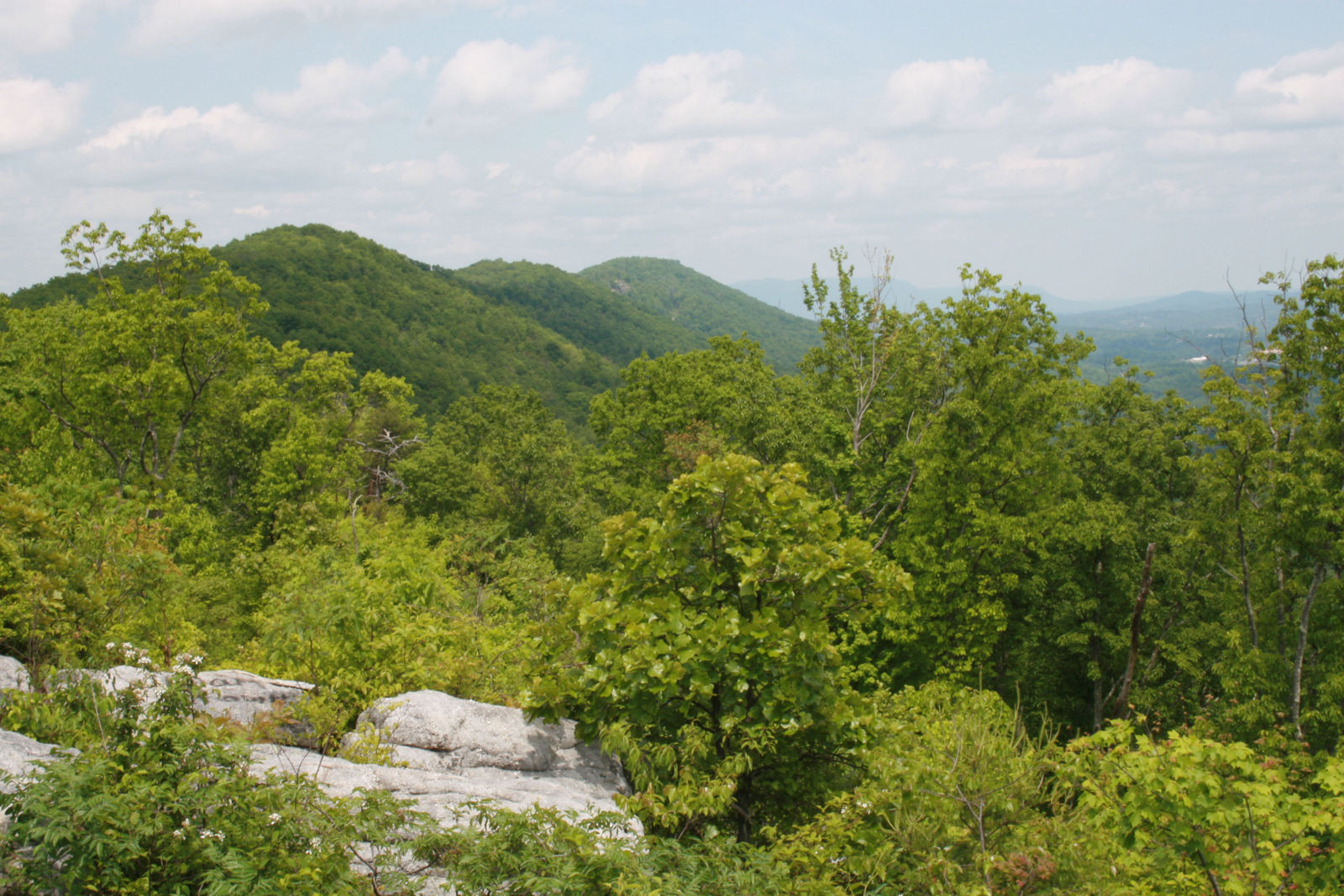
Bird Mountain Vista
Big Brushy Mountain
Buffalo Mountain View
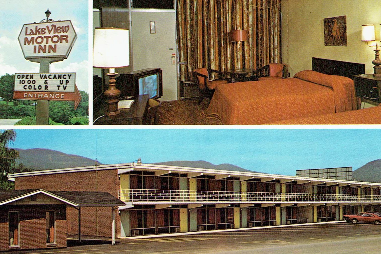
Lake View Motor Inn, Caryville, TN
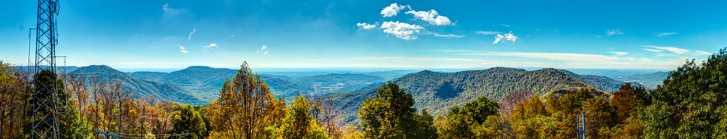
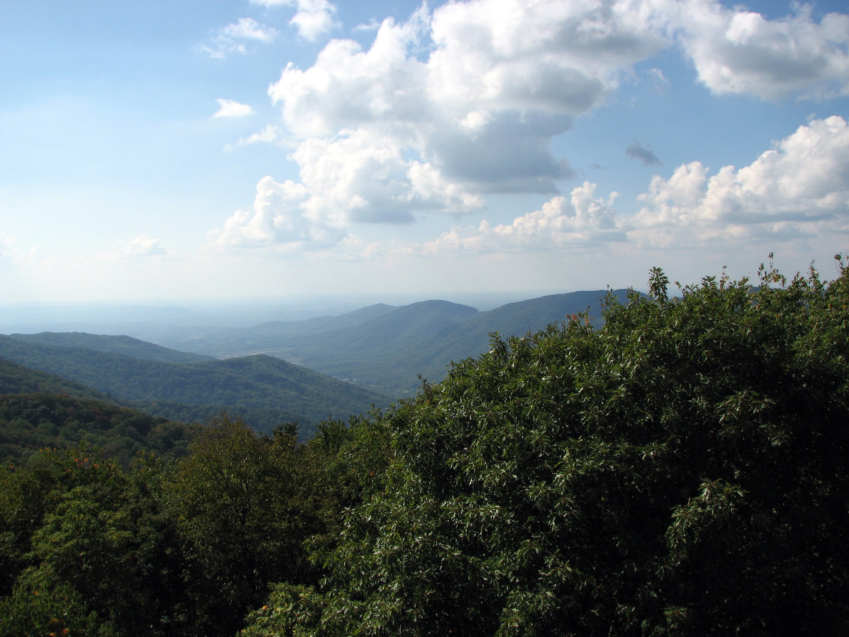
View from the Frozen Head Firetower (HDR/Panorama)
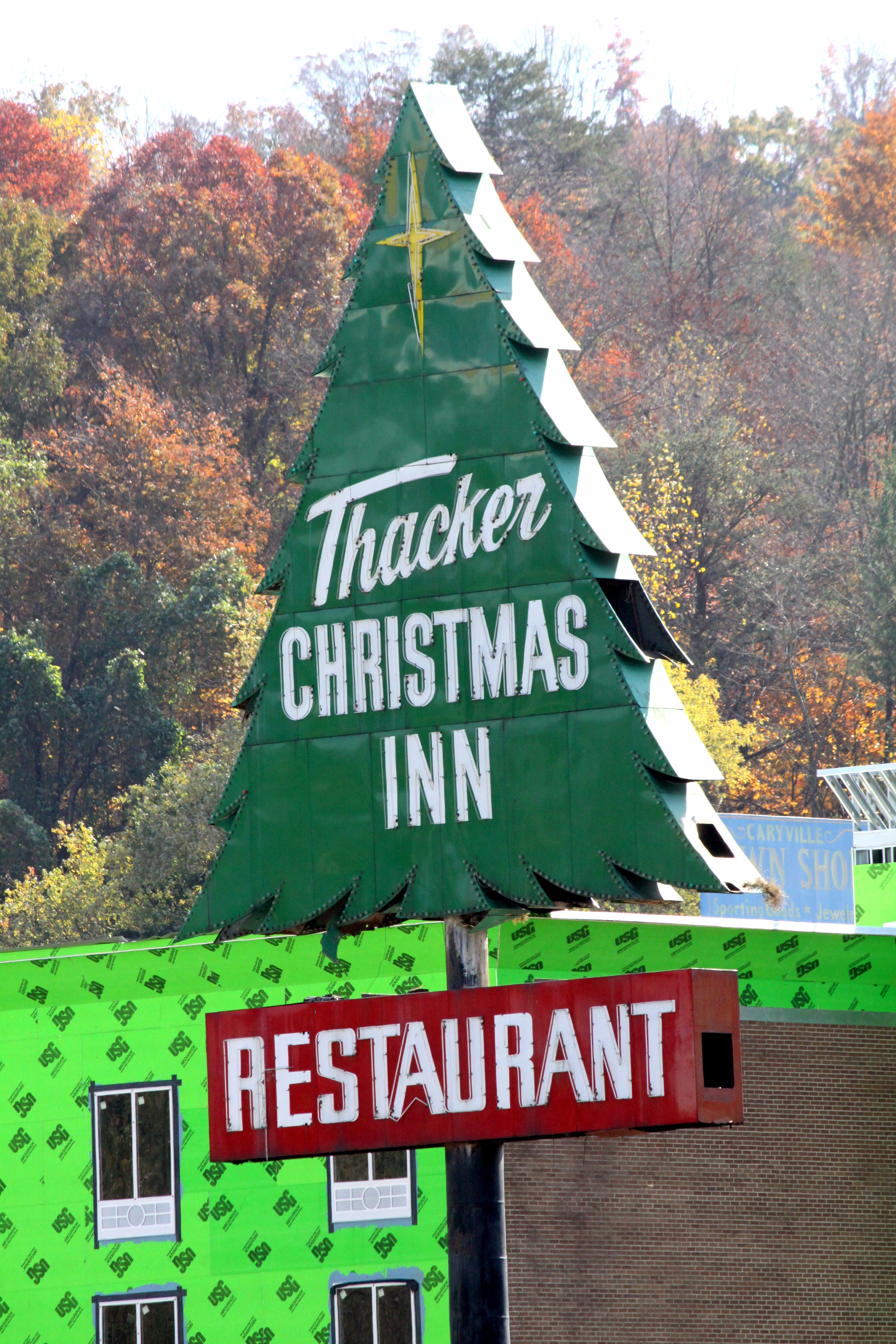
Thacker Christmas Inn & Restaurant
Mog View
Dragon View
Mog View
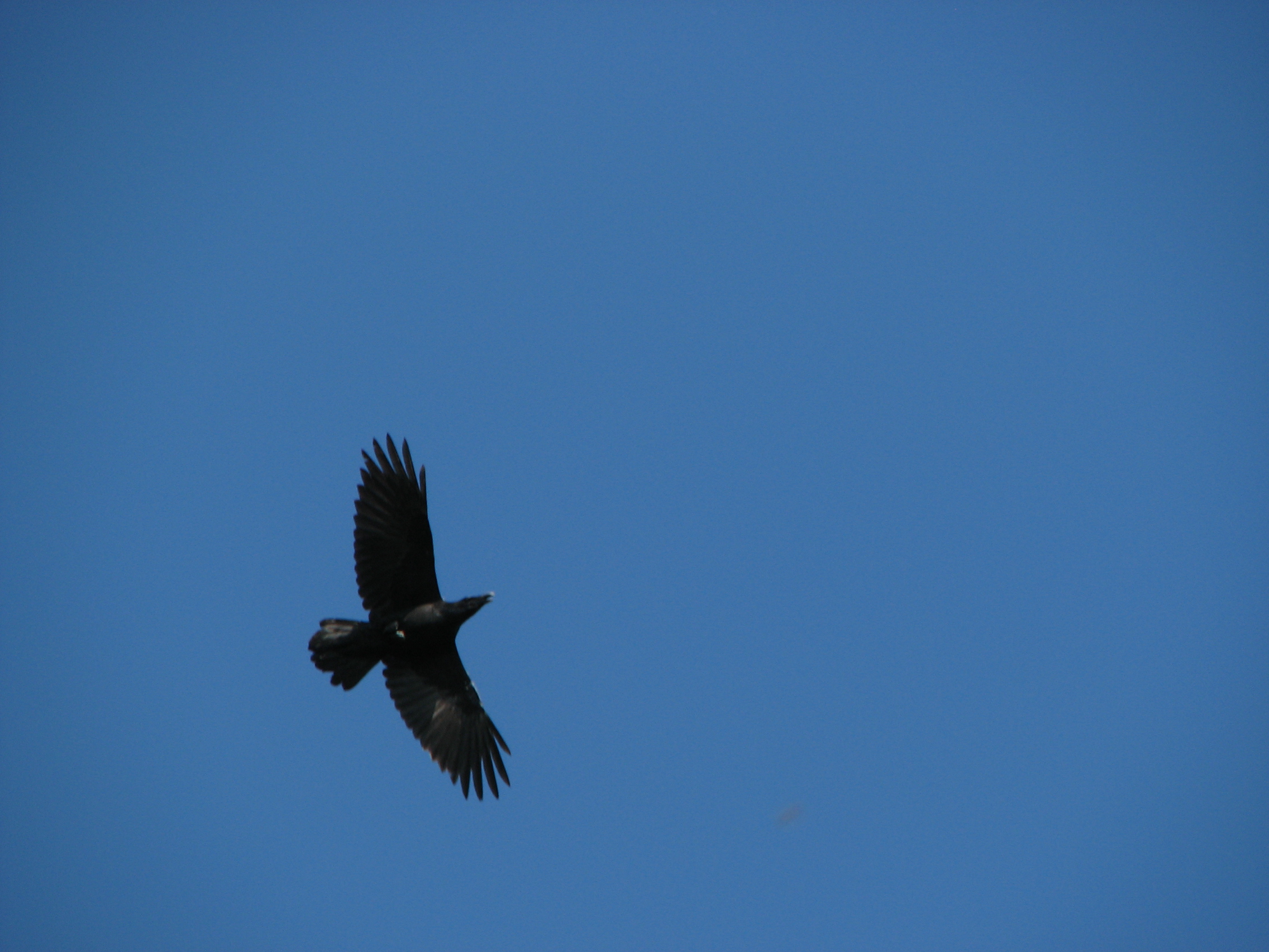
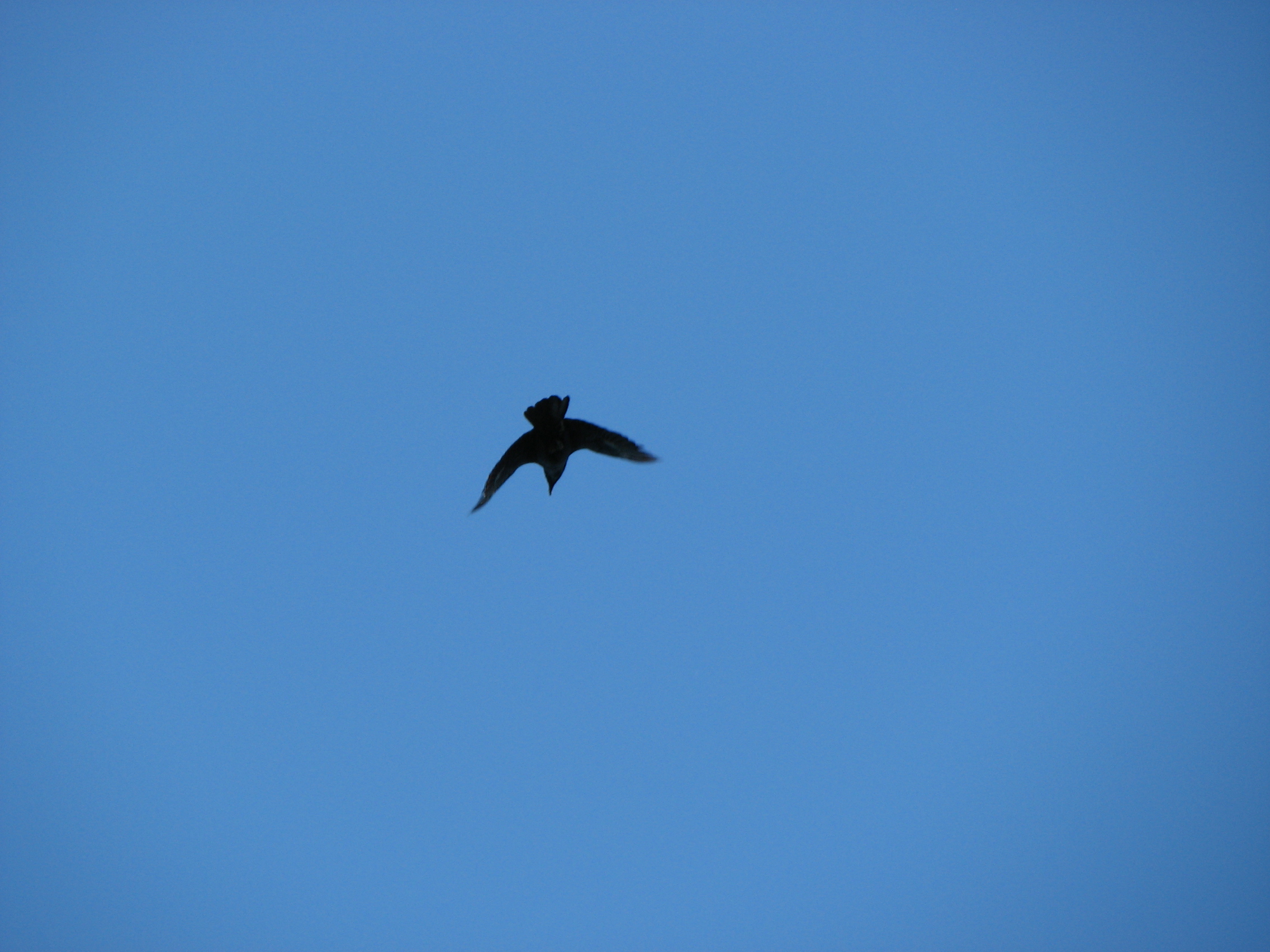
Raven at Frozen Head
view from the top
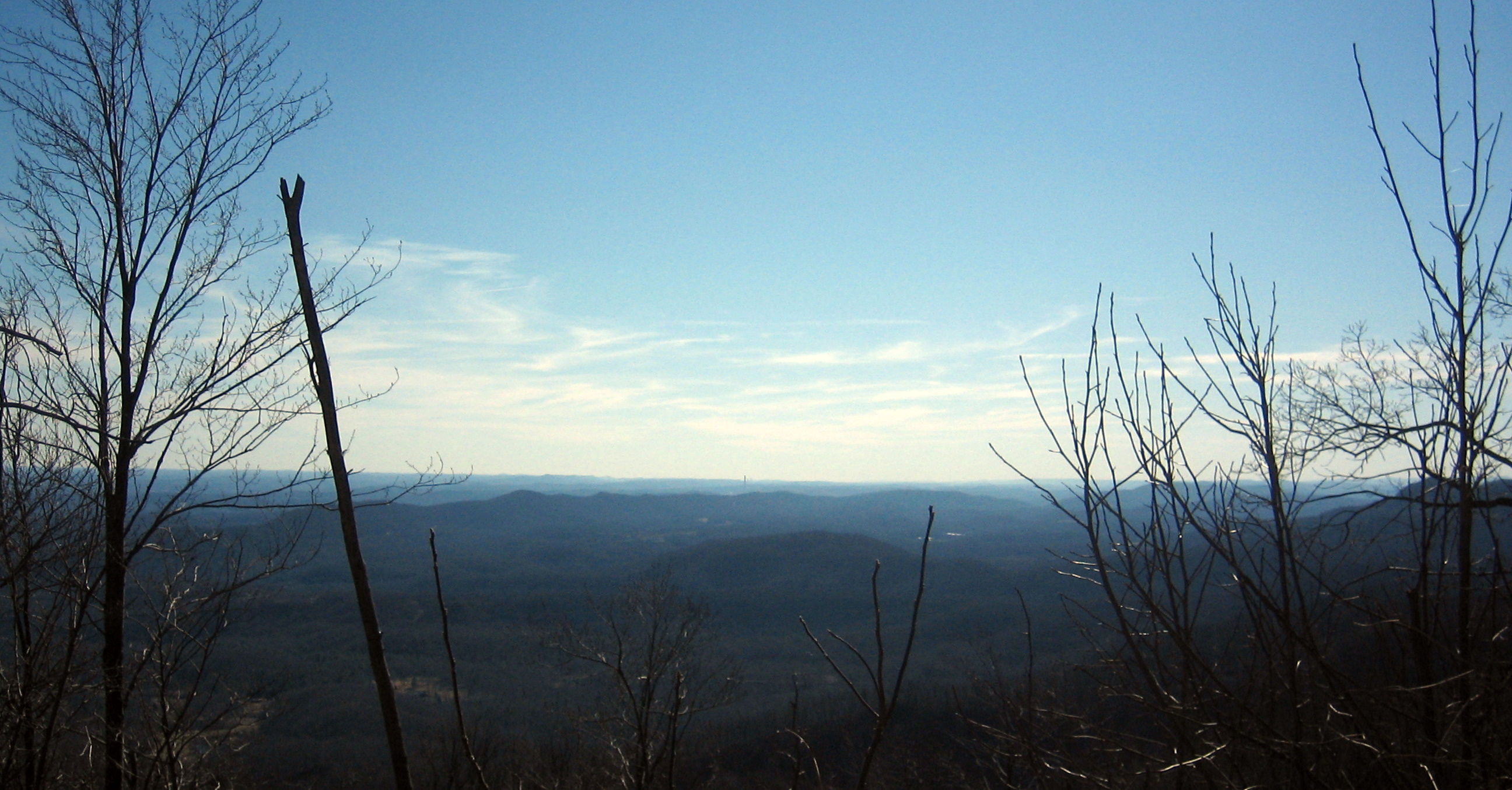
the tennessee valley
The View from Windrock
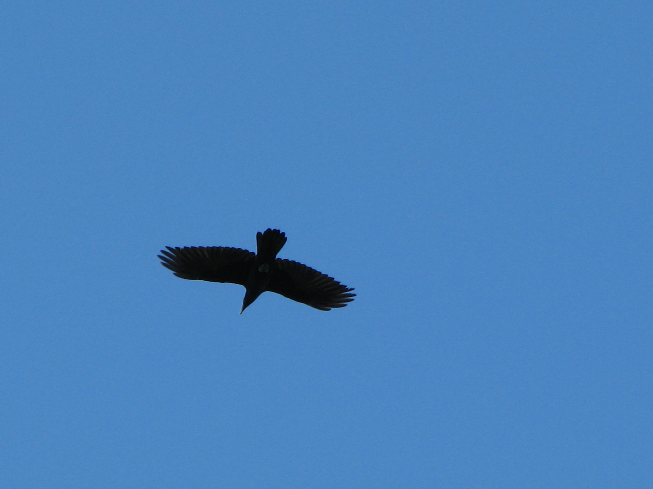
Common Raven

View from townhomes
Raven at Frozen Head
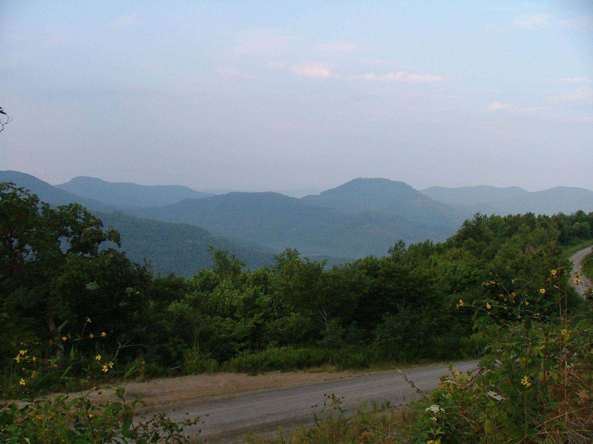
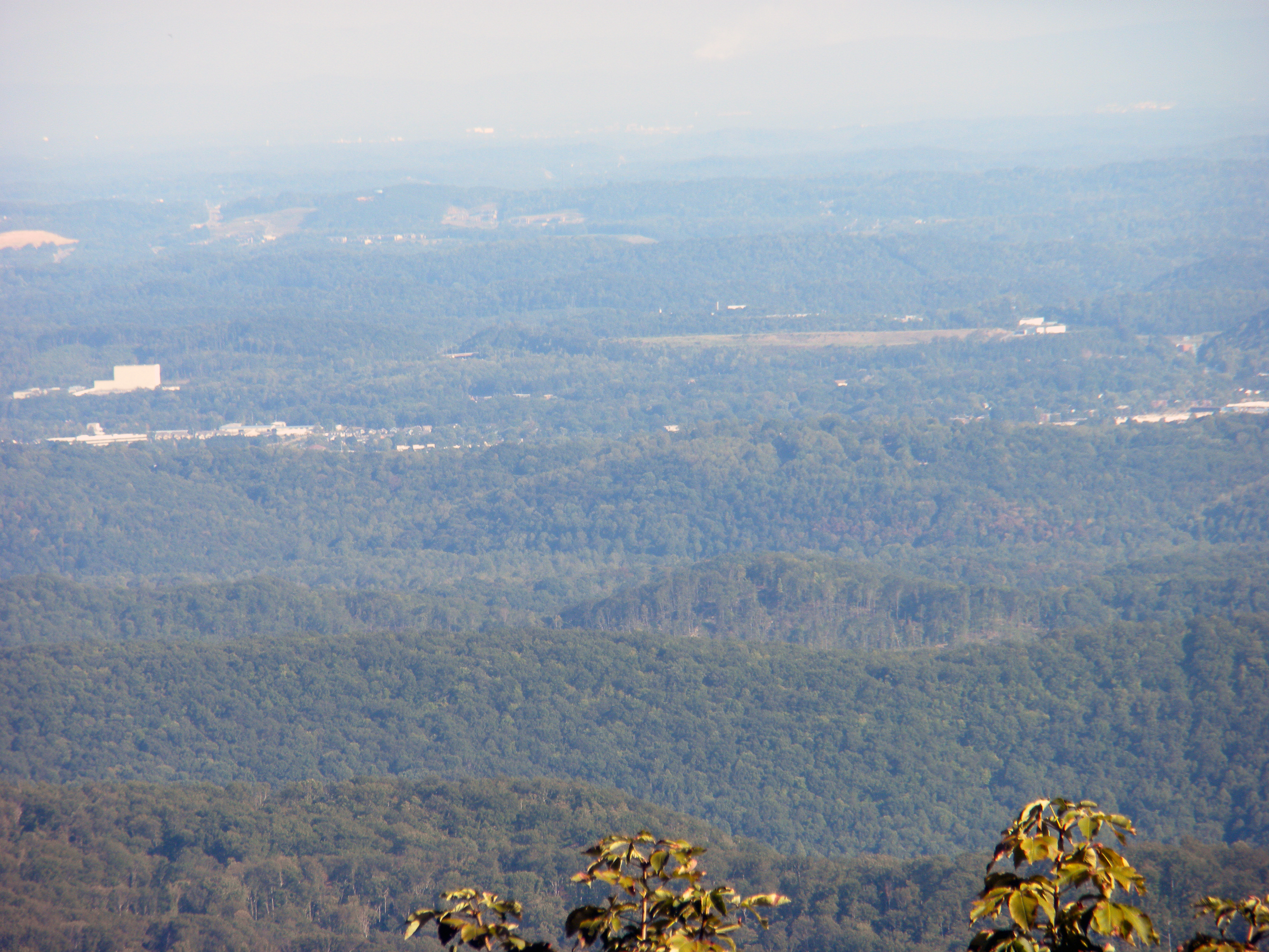
View Towards LaFollette
Loving the out doors.
Loving the out doors.
Loving the out doors.
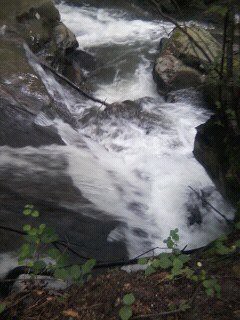
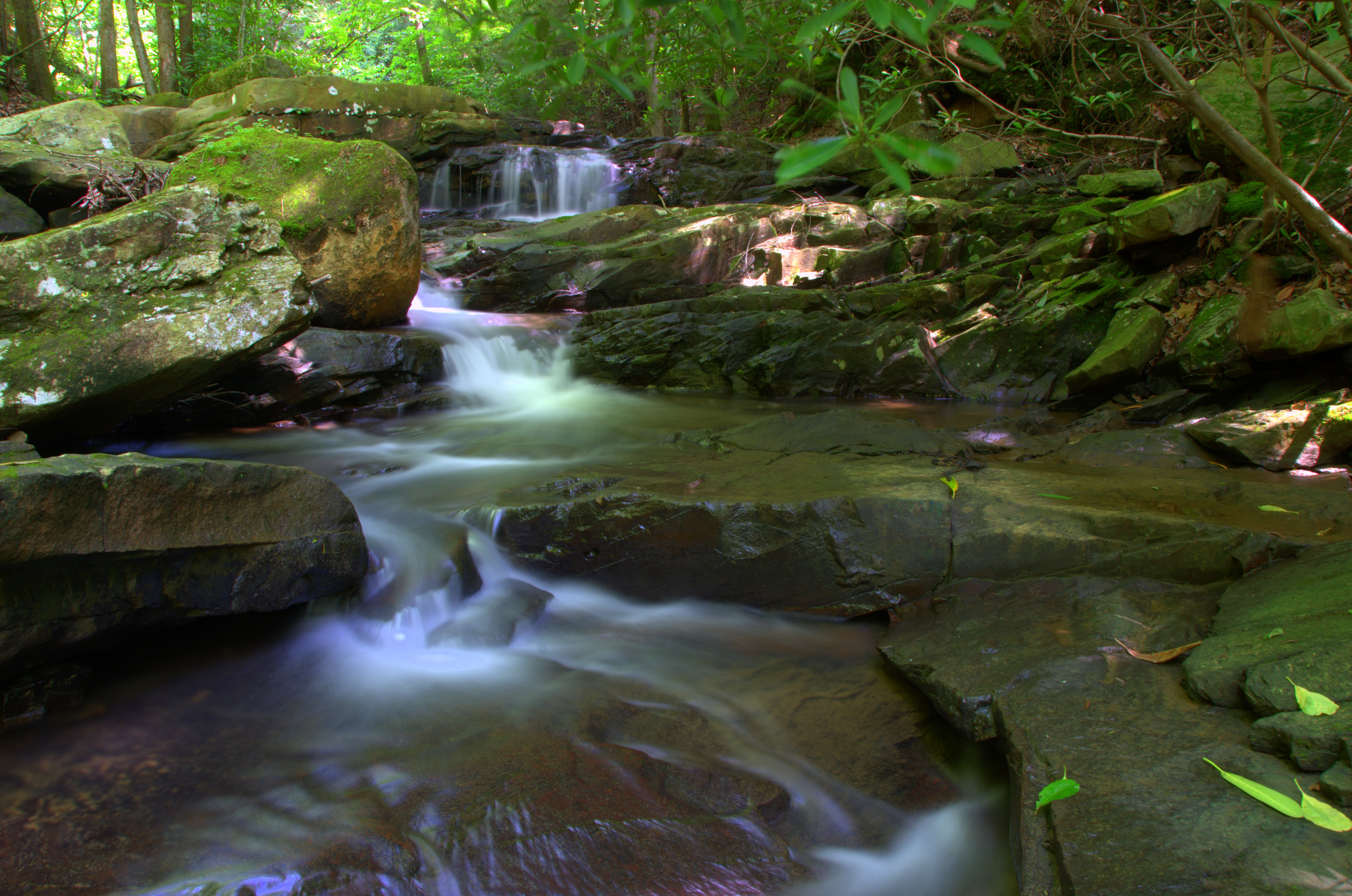
Bruce Creek
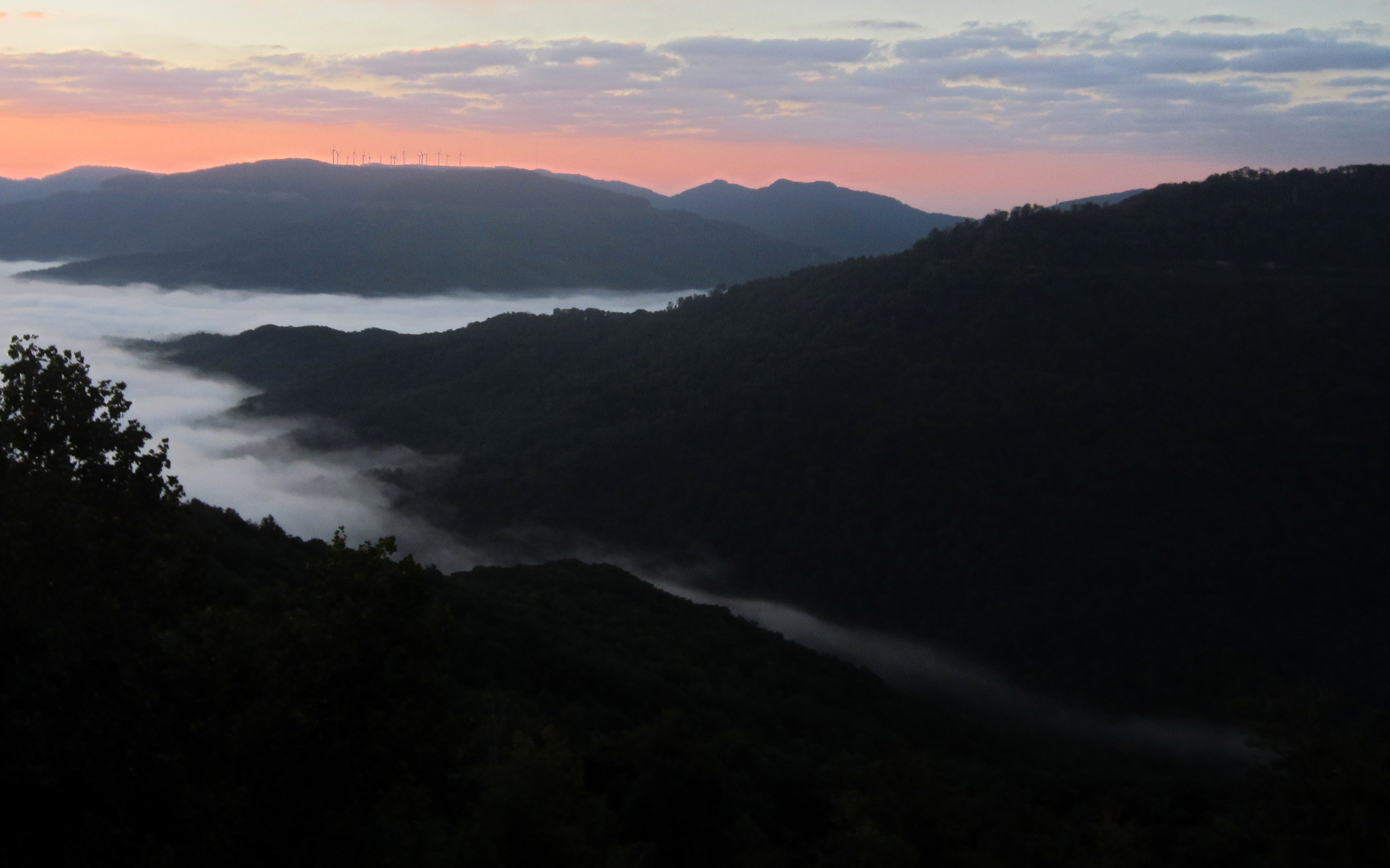
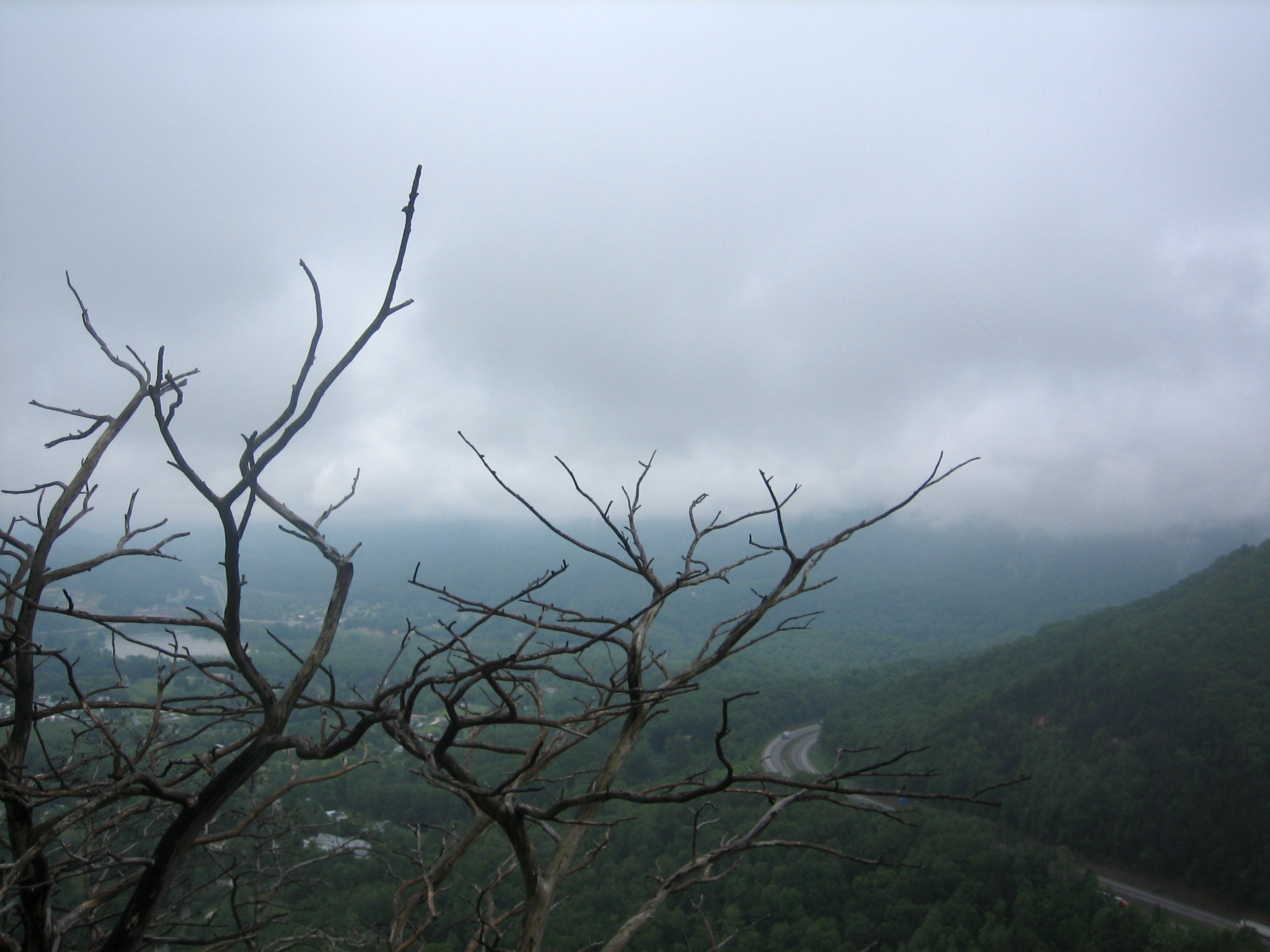
morning fog below
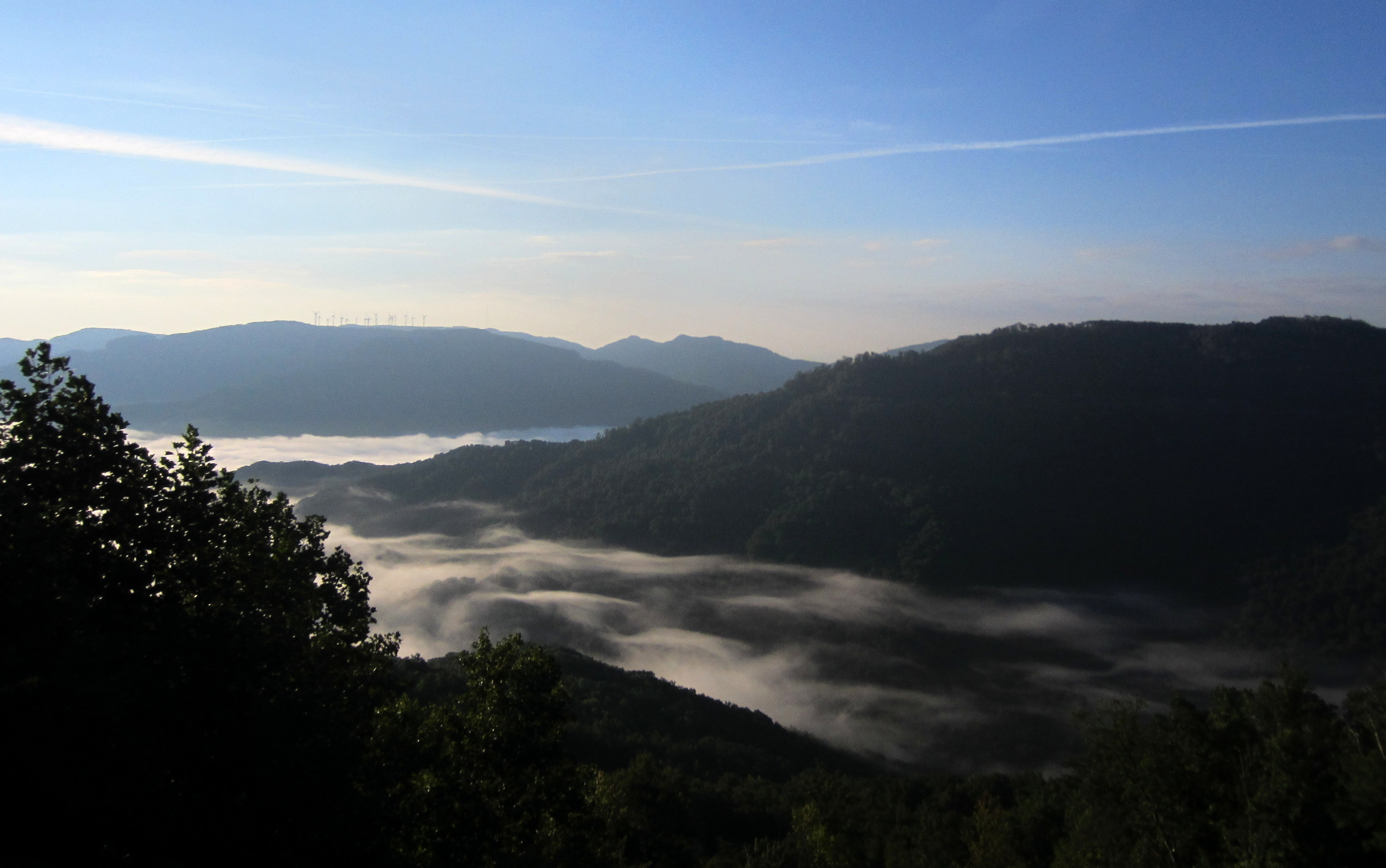
rising fog
Cumberland Mountain segment of the Cumberland Trail
Cumberland Mountain segment of the Cumberland Trail
Cumberland Mountain segment of the Cumberland Trail
Cumberland Mountain segment of the Cumberland Trail
Cumberland Mountain segment of the Cumberland Trail

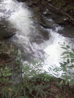
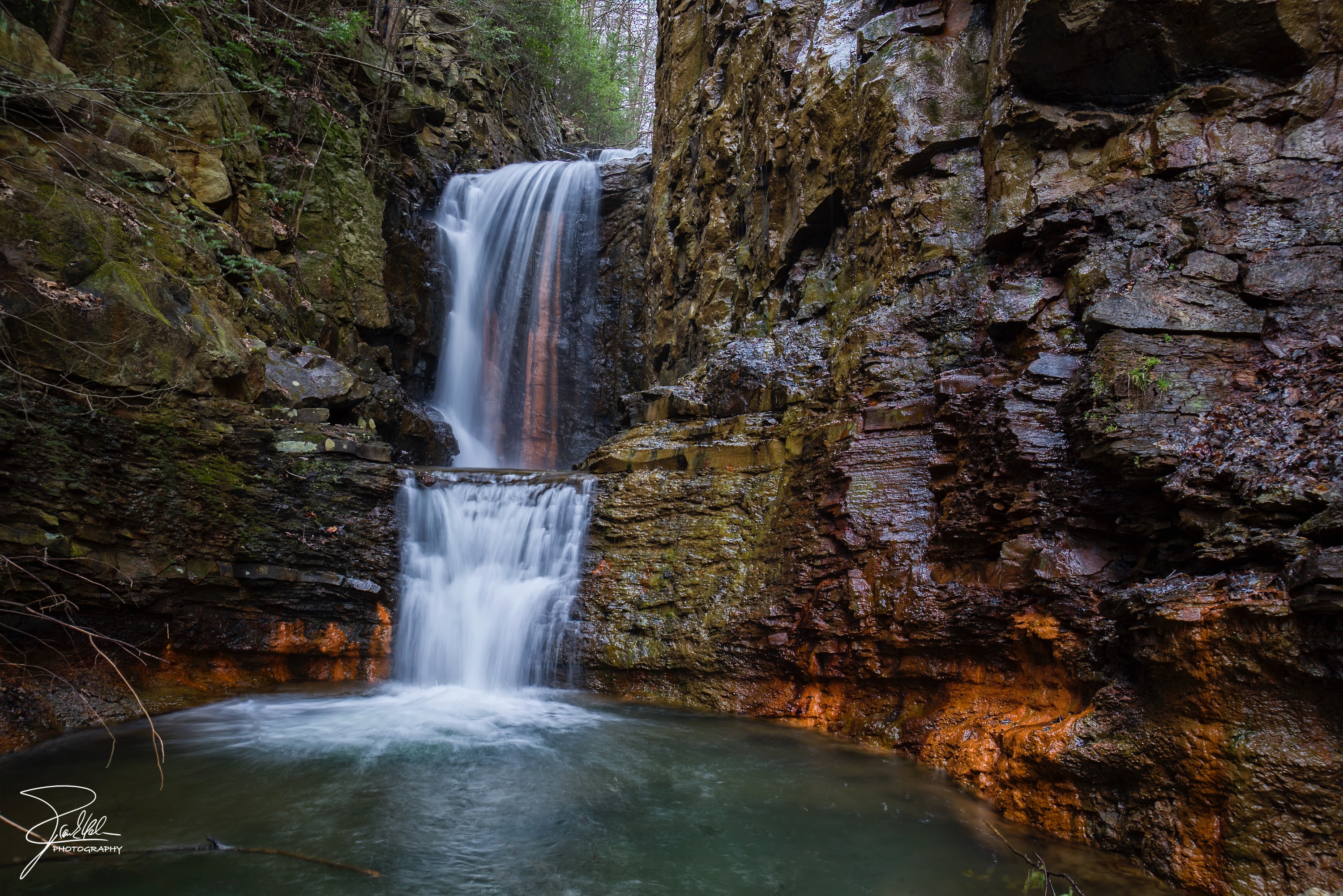
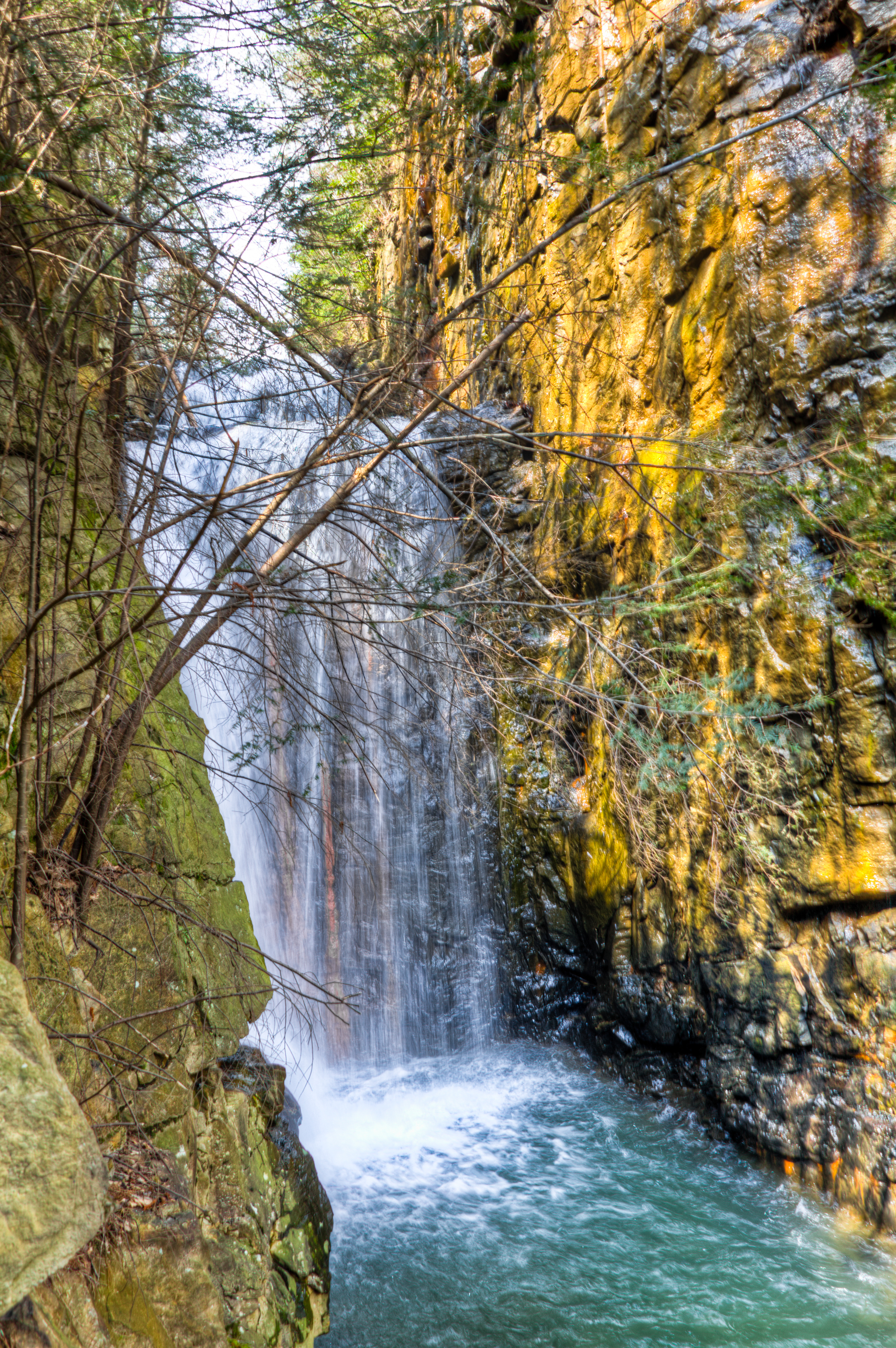
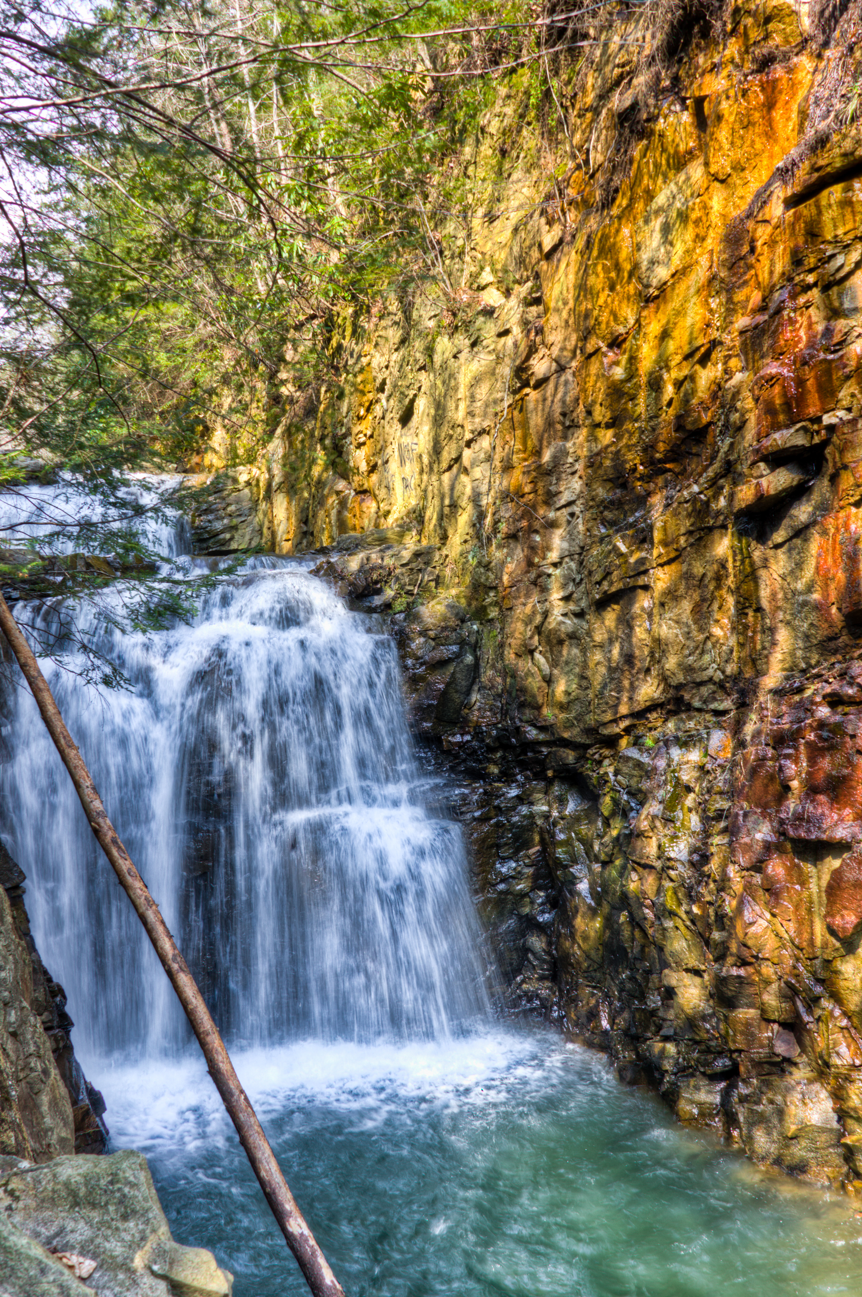
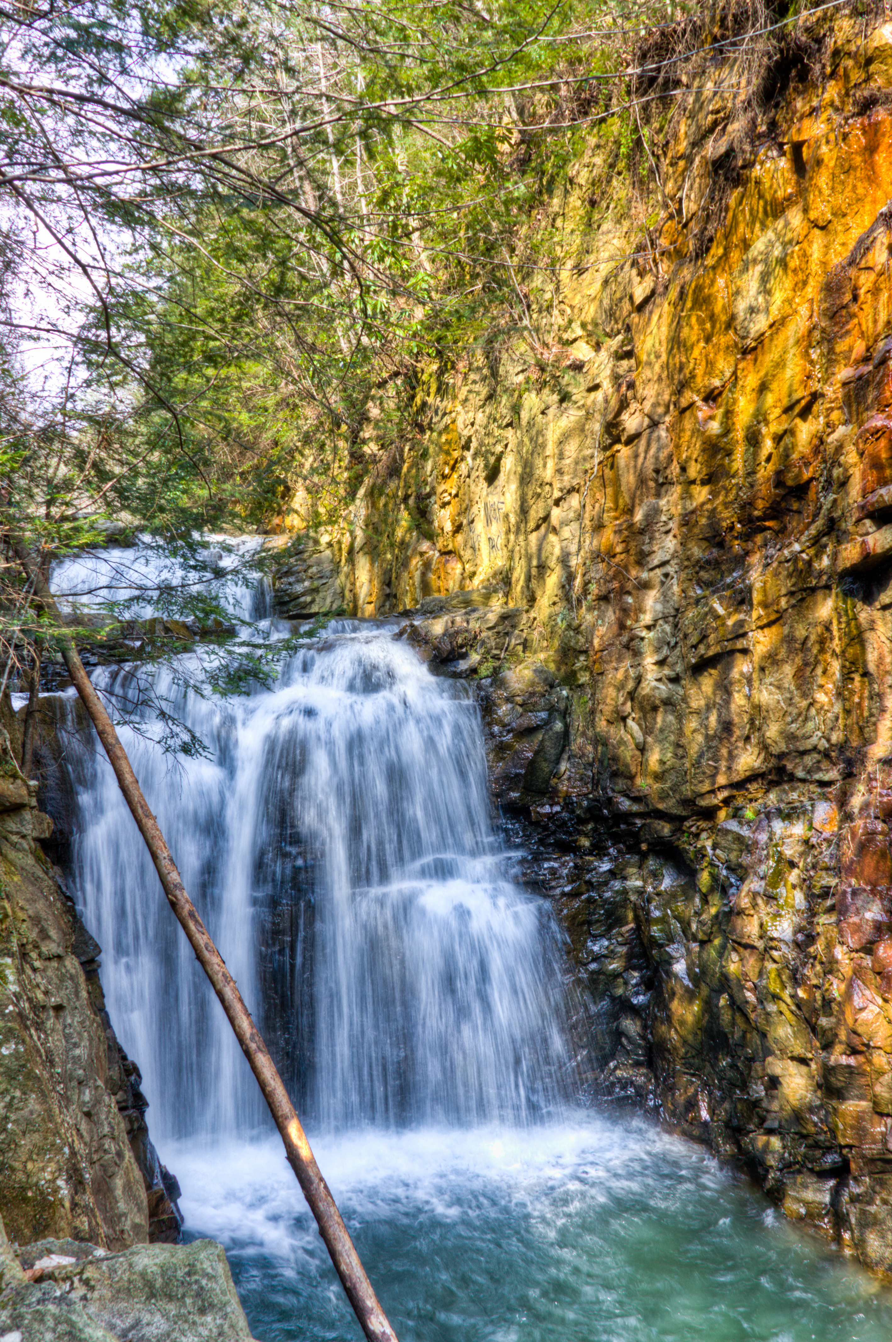
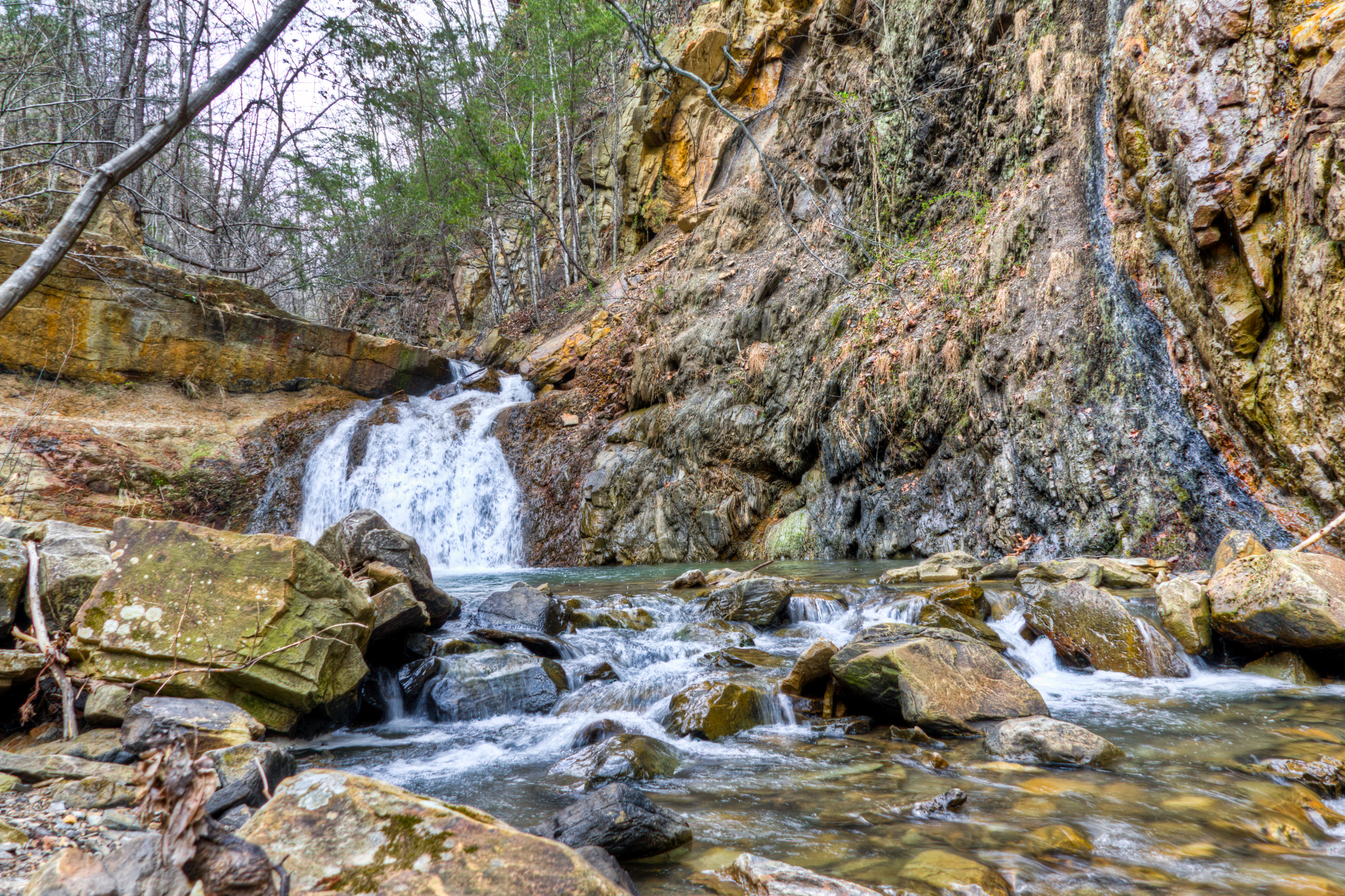
Emory Gap Falls
Emory Gap Falls (HDR)

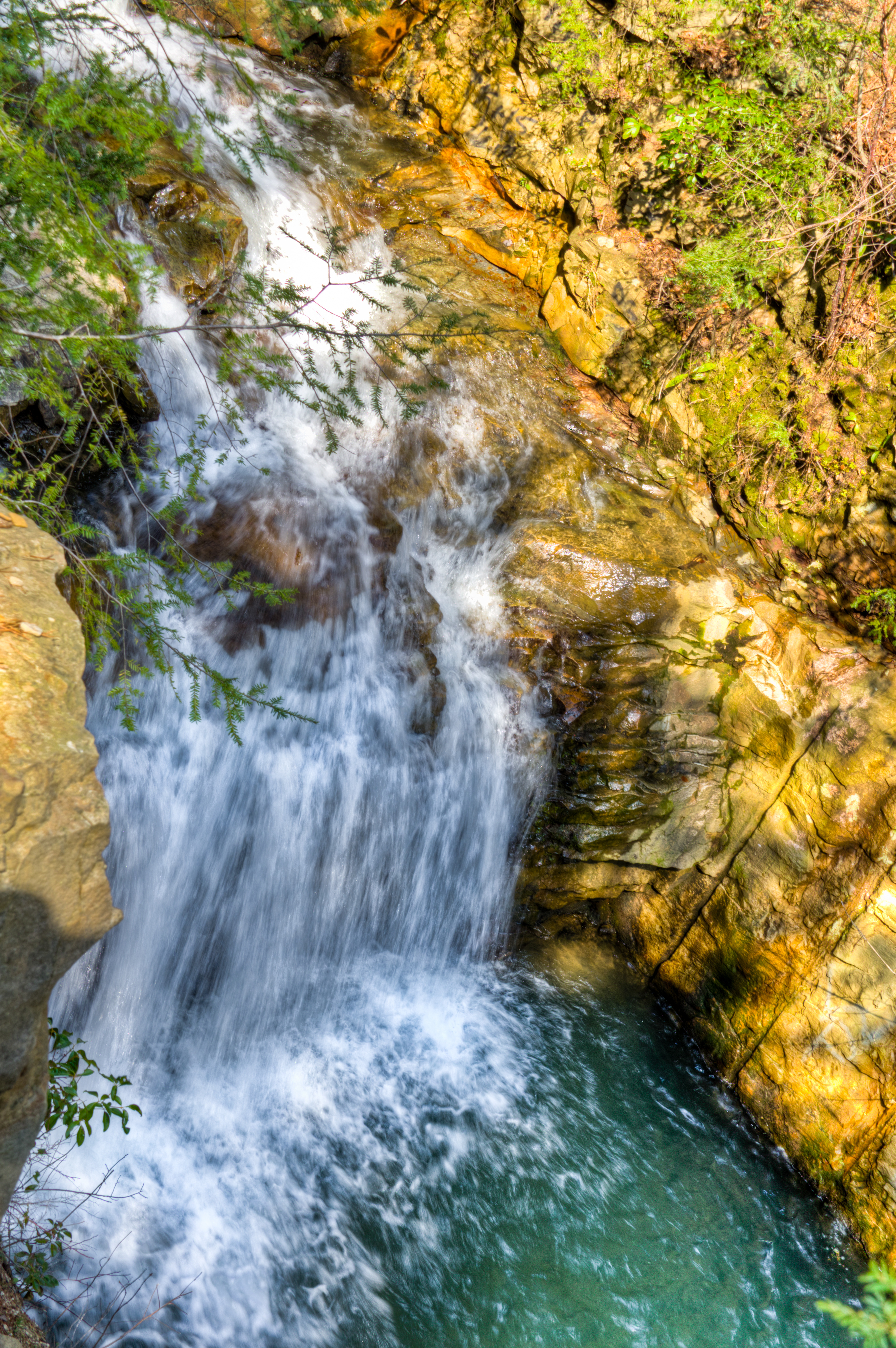
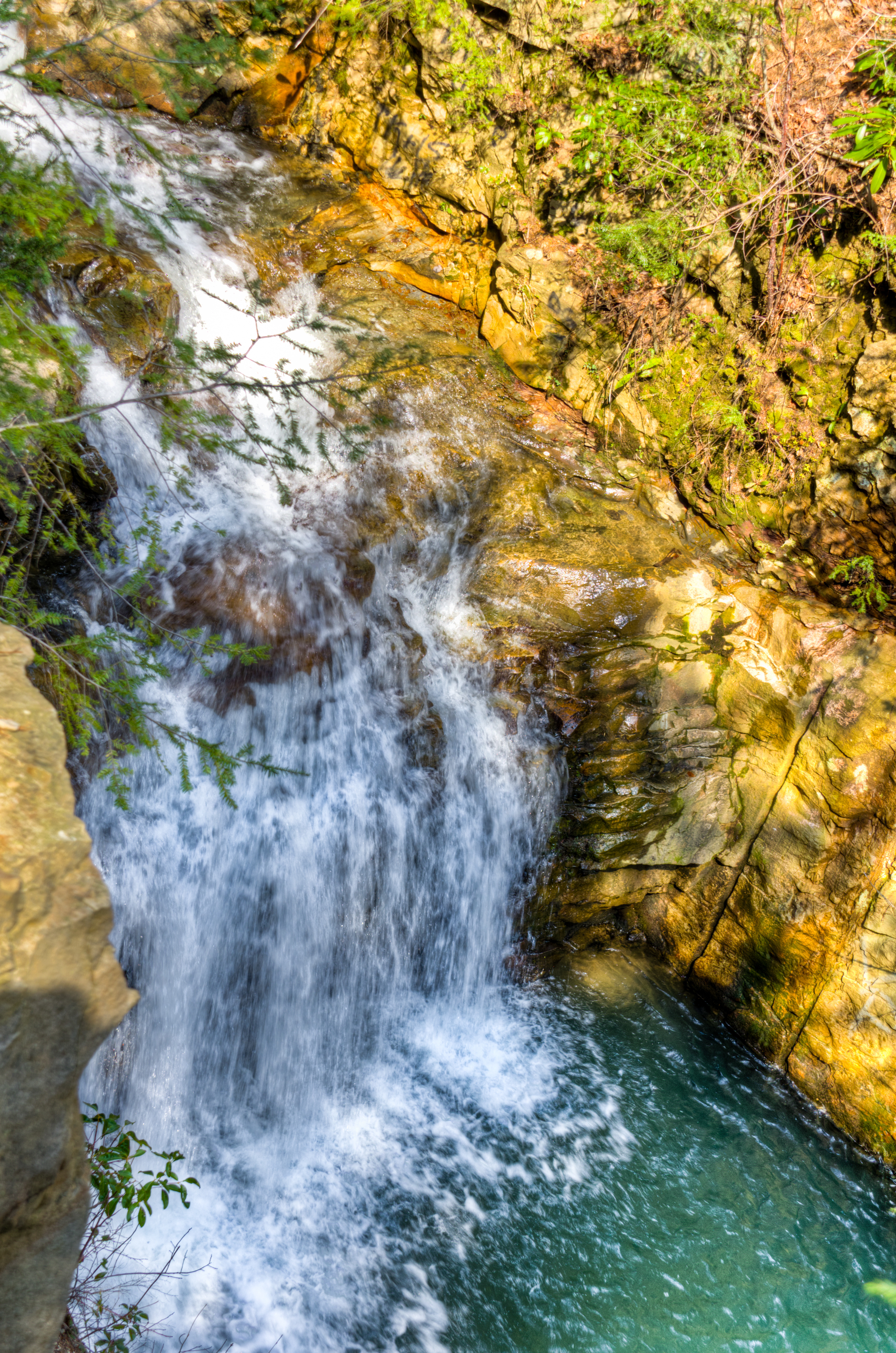
Notch falls
Frozen Head State Park
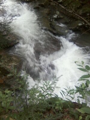
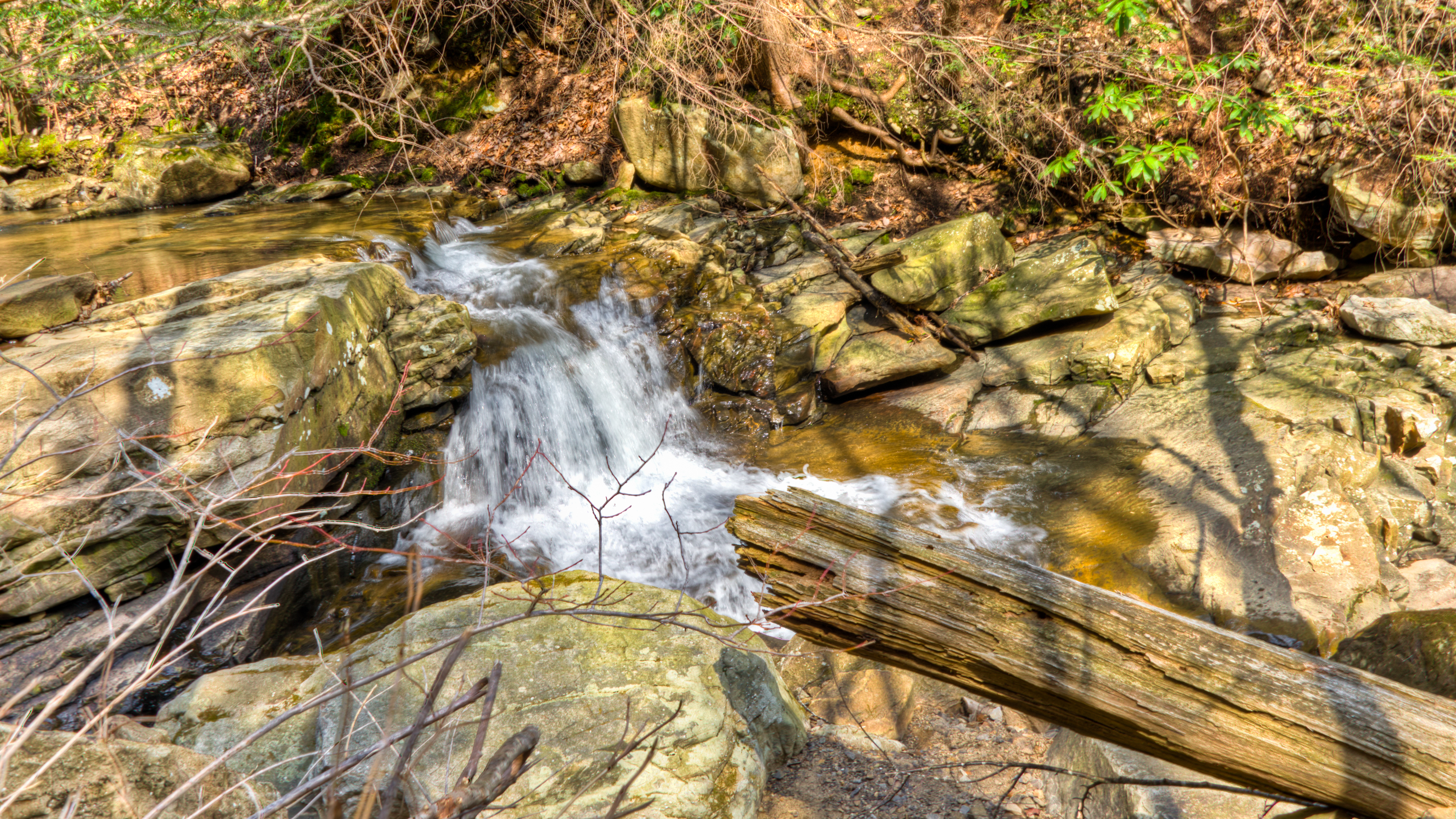
Bruce Falls in motion
Cumberland Mountain segment of the Cumberland Trail
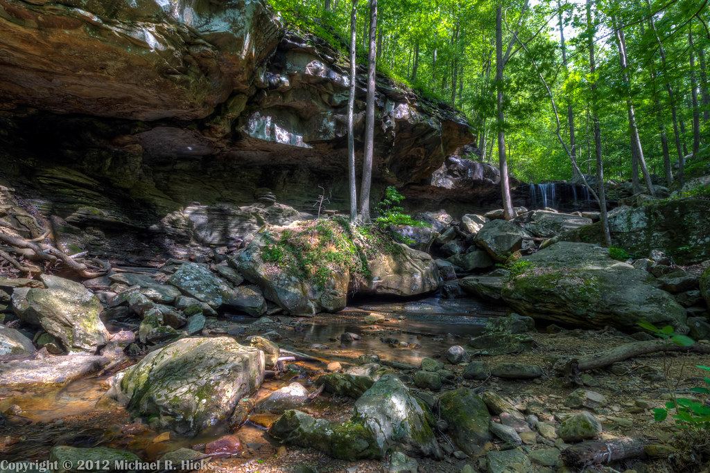
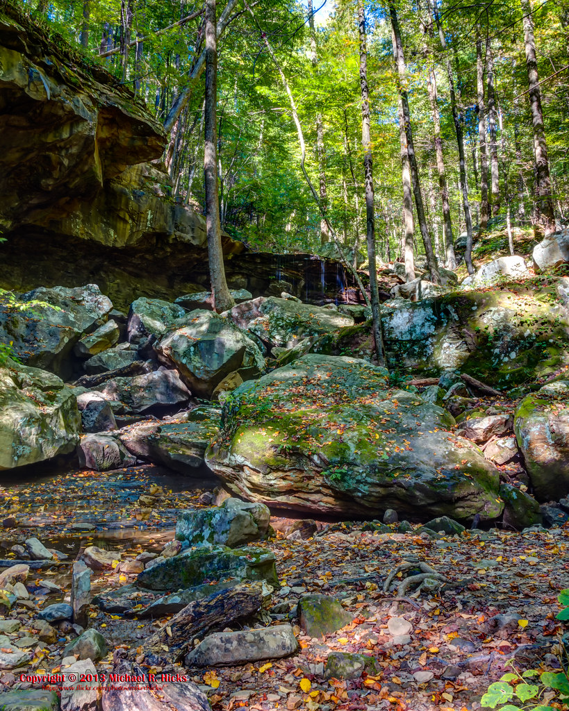
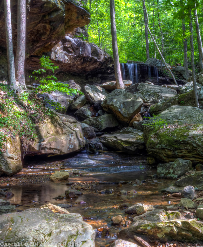
Frozen Head State Park - Emory Gap Branch
Cumberland Mountain segment of the Cumberland Trail
Topographic Map of New River Hwy, Briceville, TN, USA
Find elevation by address:

Places near New River Hwy, Briceville, TN, USA:
5631 New River Hwy
Buffalo Mountain
New River Hwy, Moores Camp, TN, USA
859 Duncan Flats Ln
Airbase Ln, Briceville, TN, USA
Rockhouse Ln, Briceville, TN, USA
Briceville
Anderson County
416 Old Lake City Hwy
602 E Spring St
985 Bush Rd
Oliver Springs
1505 Old Lake City Hwy
135 Autumn Dr
101 Pioneer Dr
180 Shelton Ln
172 Shelton Ln
172 Shelton Ln
172 Shelton Ln
Lake City Hwy, Clinton, TN, USA
Recent Searches:
- Elevation of 12 Hutchinson Woods Dr, Fletcher, NC, USA
- Elevation of Holloway Ave, San Francisco, CA, USA
- Elevation of Norfolk, NY, USA
- Elevation of - San Marcos Pass Rd, Santa Barbara, CA, USA
- Elevation of th Pl SE, Issaquah, WA, USA
- Elevation of 82- D Rd, Captain Cook, HI, USA
- Elevation of Harlow CM20 2PR, UK
- Elevation of Shenyang Agricultural University, Dong Ling Lu, Shen He Qu, Shen Yang Shi, Liao Ning Sheng, China
- Elevation of Alpha Dr, Melbourne, FL, USA
- Elevation of Hiroshima University, 1-chōme-3-2 Kagamiyama, Higashihiroshima, Hiroshima -, Japan