Elevation of New Hanover Township, PA, USA
Location: United States > Pennsylvania > Montgomery County >
Longitude: -75.562603
Latitude: 40.3213796
Elevation: 91m / 299feet
Barometric Pressure: 100KPa
Elevation Map:
Satellite Map:
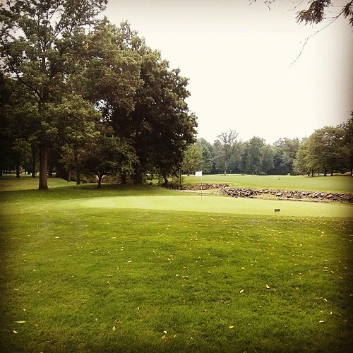
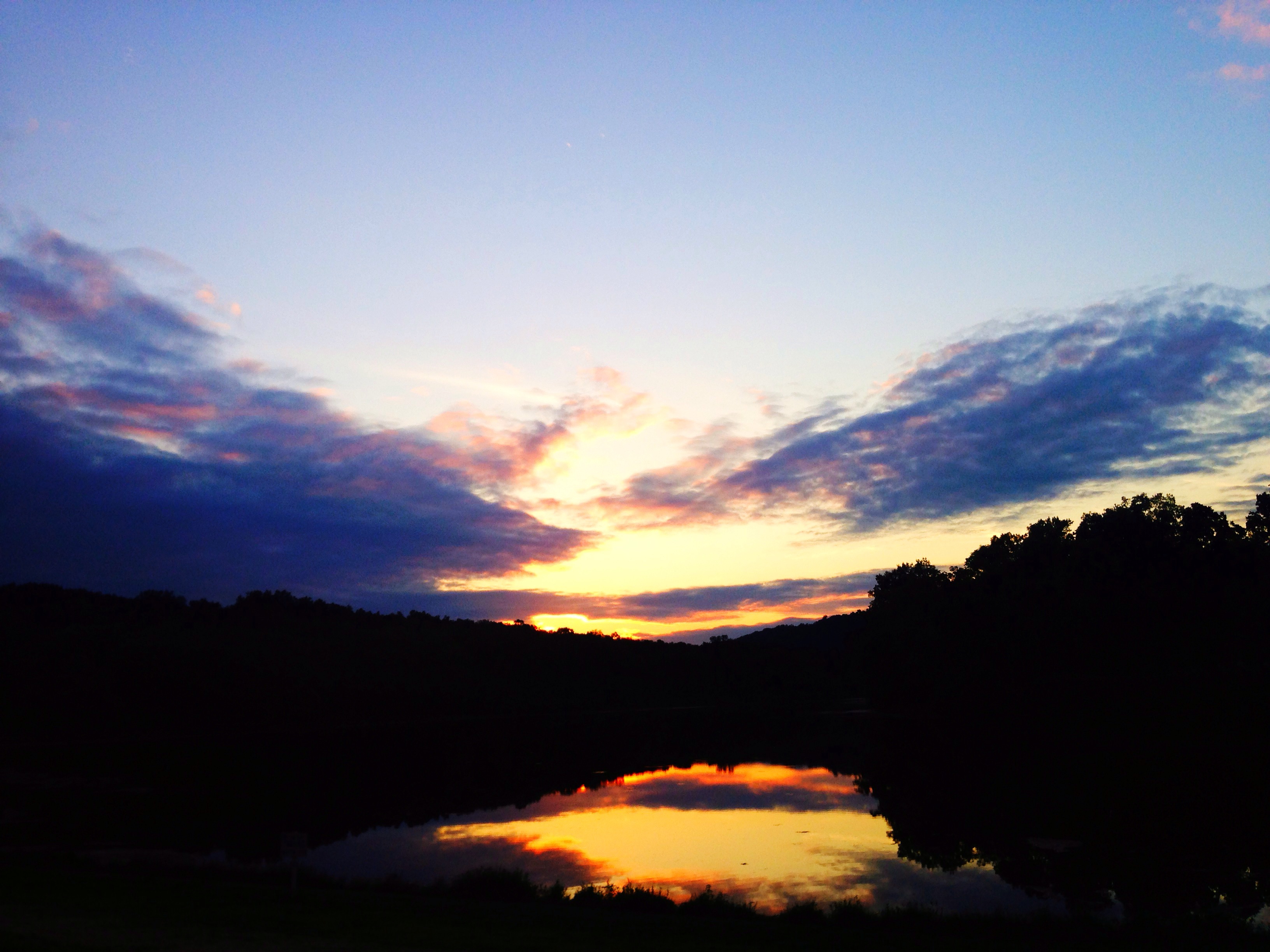
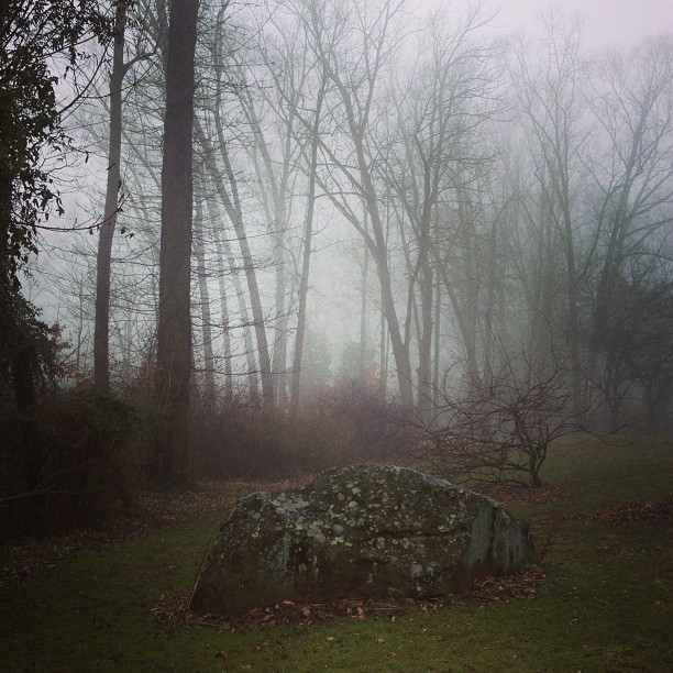
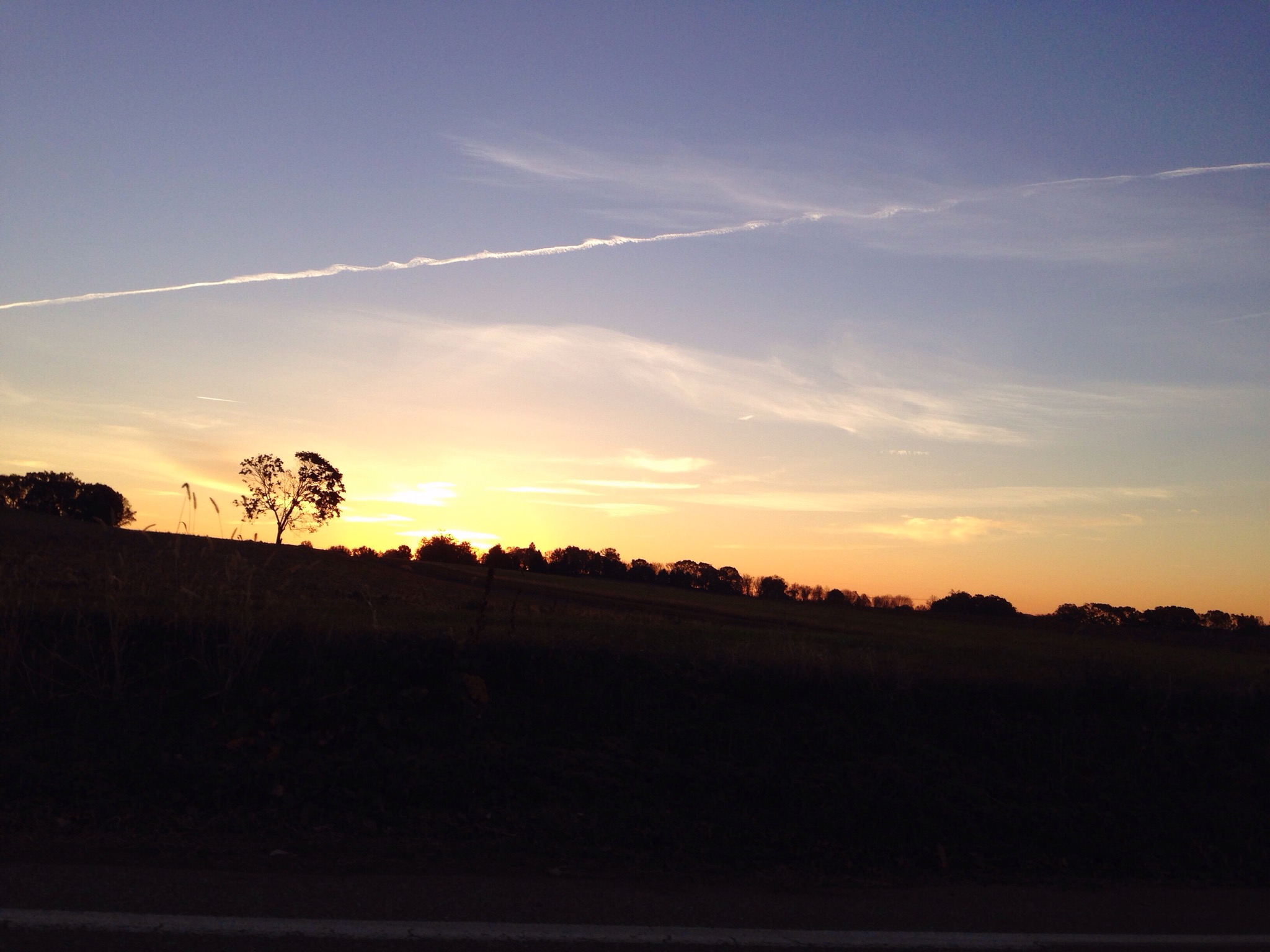
Related Photos:

Wooden Wheelchair
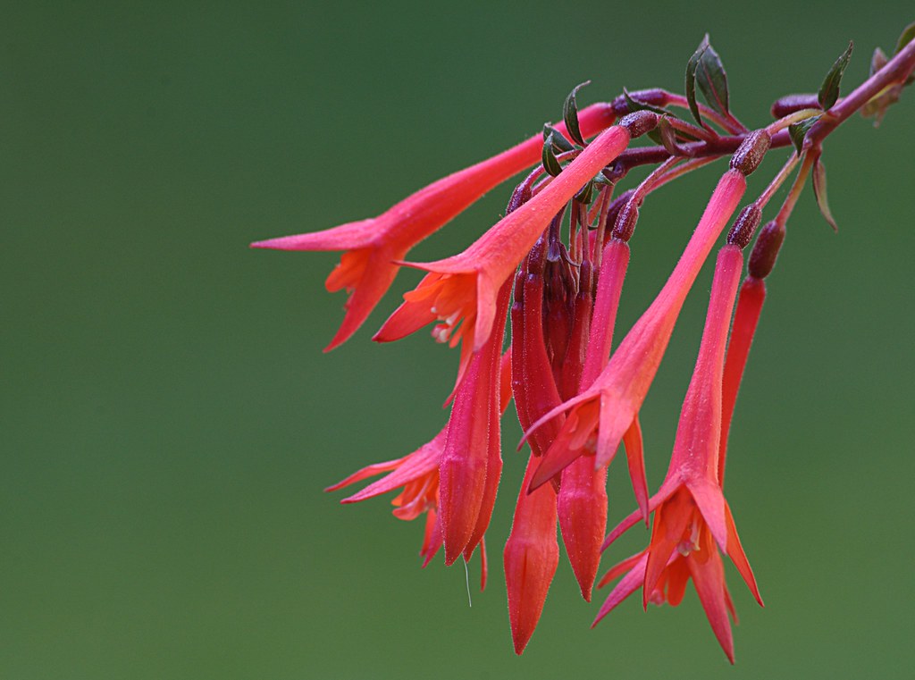
Lady's Eardrops
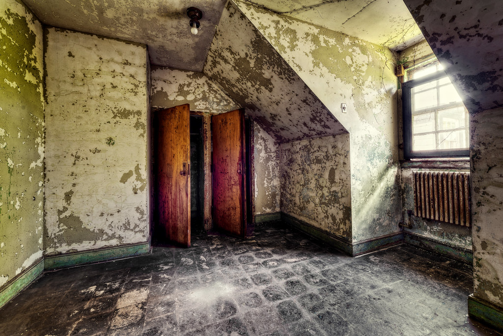
Nurse's Room

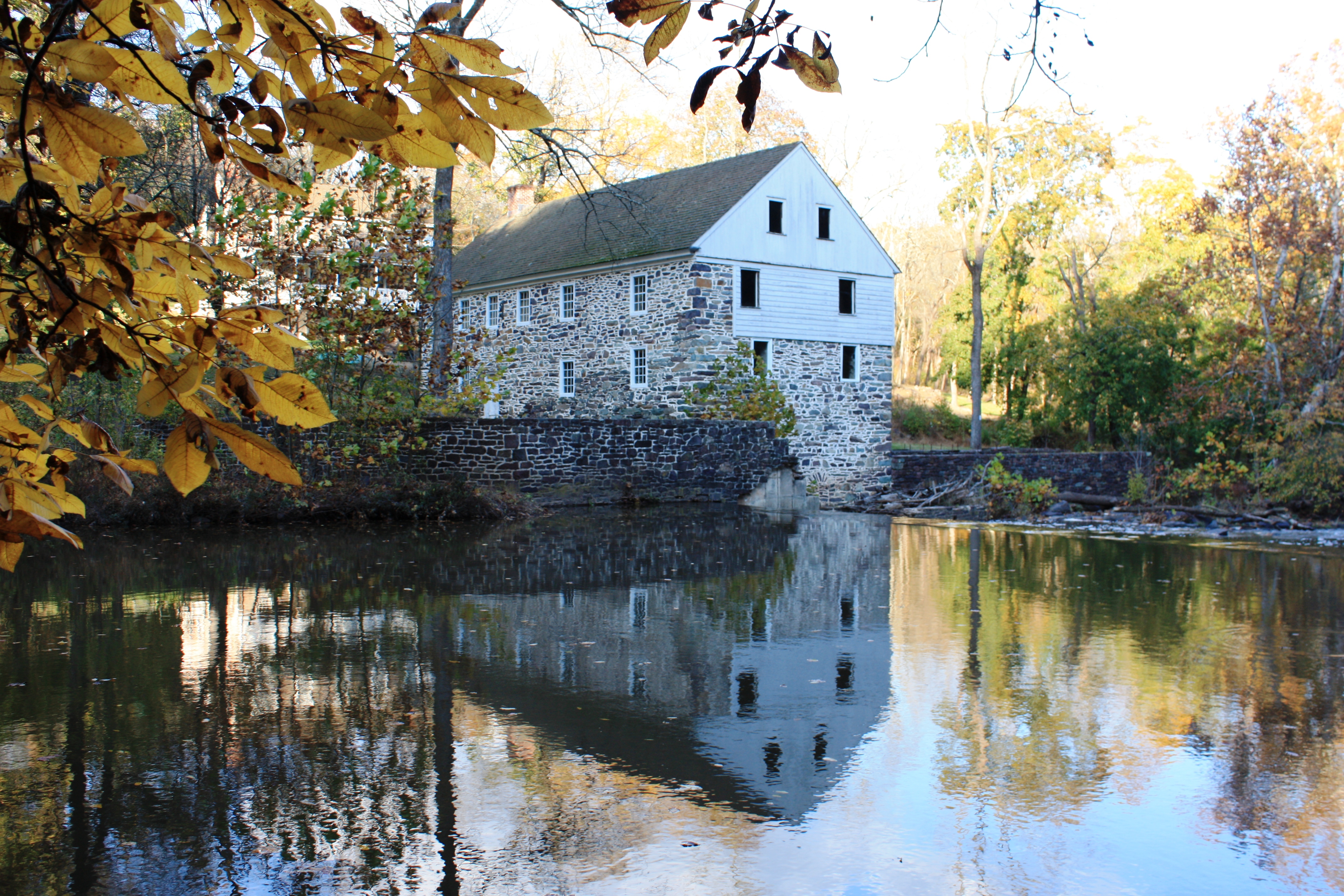
Laurel Locks Farm
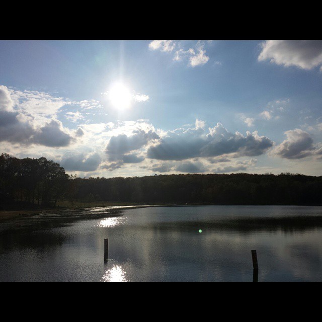
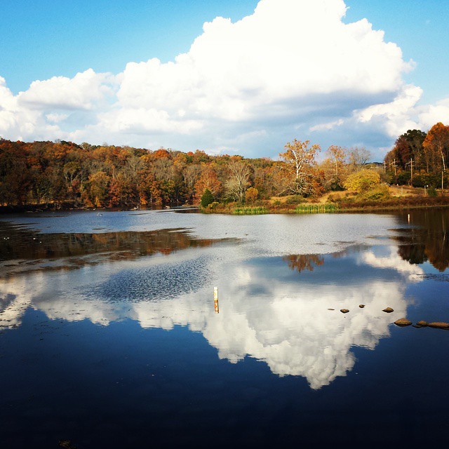
Another lake view from Green Lane

Vivid Macrame Yarn

Marigold Petal Macro
The hunt for red October
A Room with a View at The Barracks
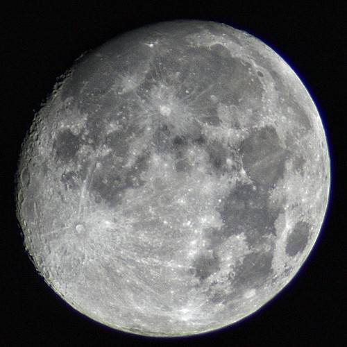
Almost a full moon

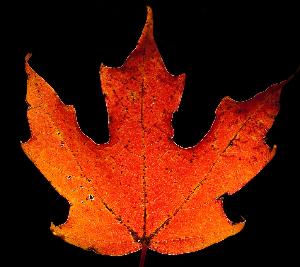
The Orange and the Green

Day Lilly bubble macro
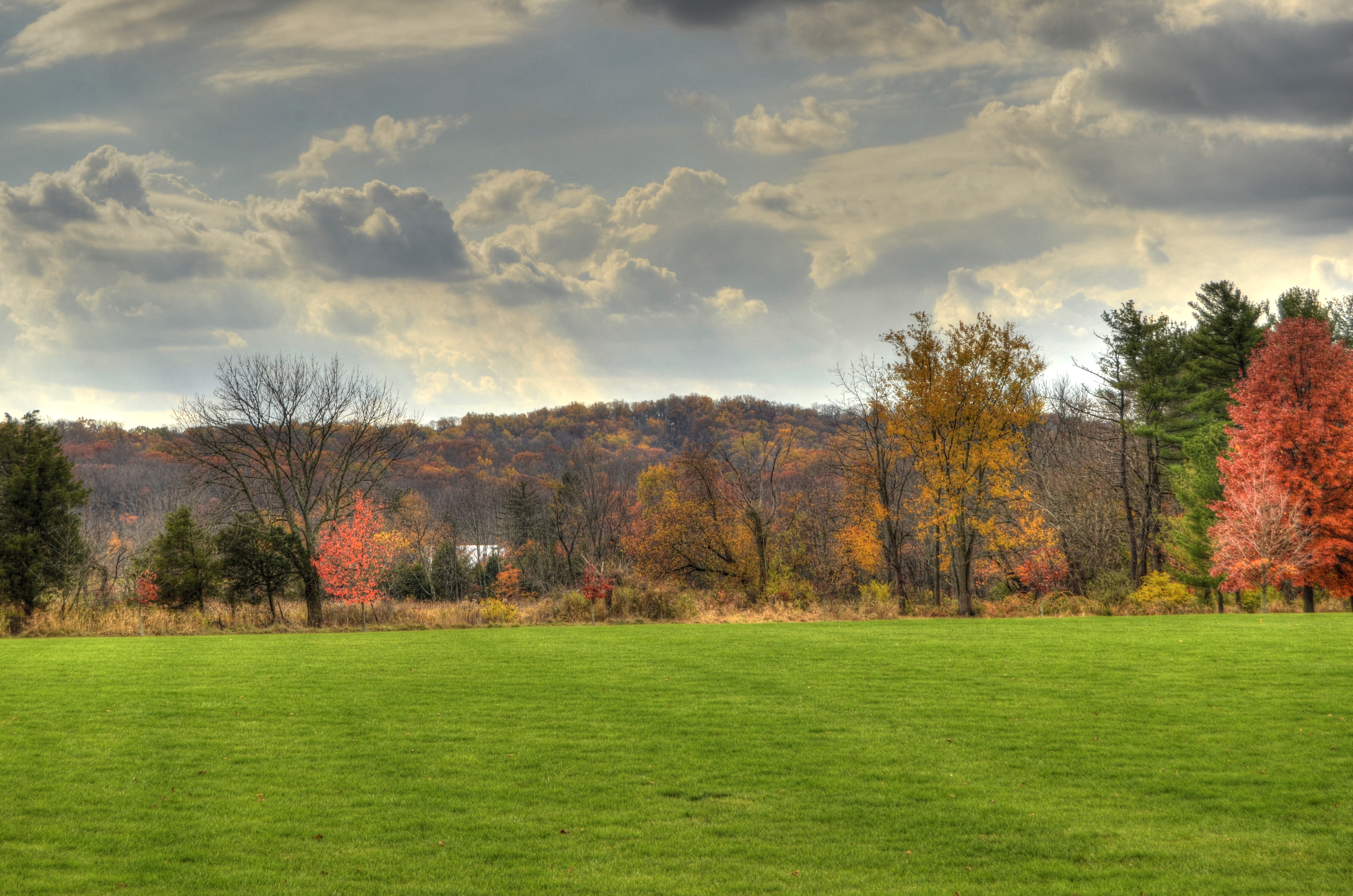
fall landscape_upper salford park
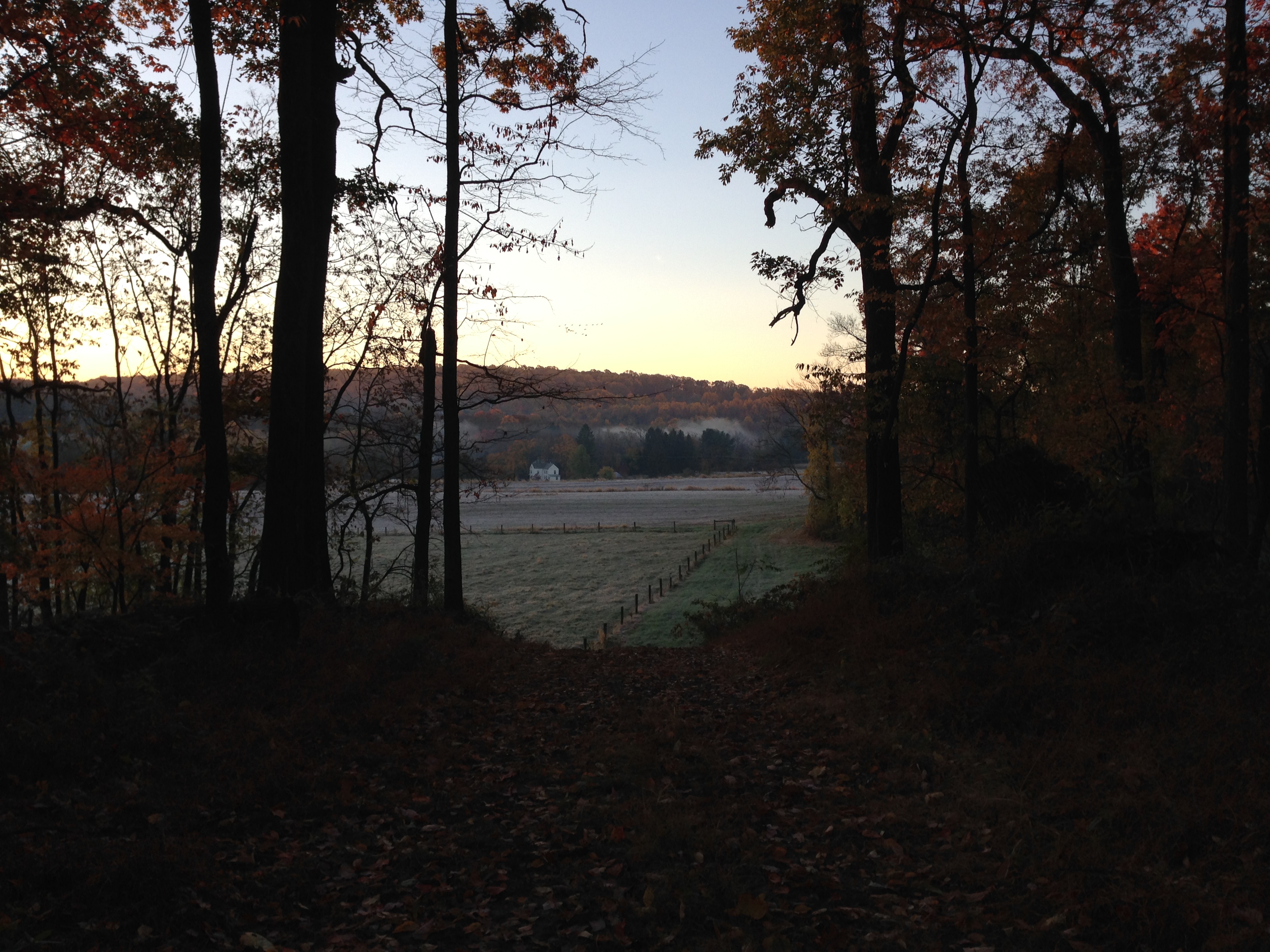
Laurel Locks Farm
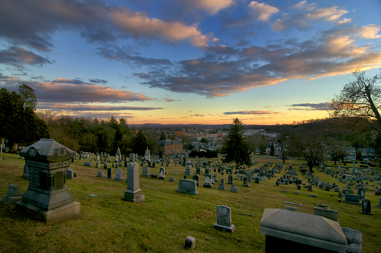
Fairview of Boyertown
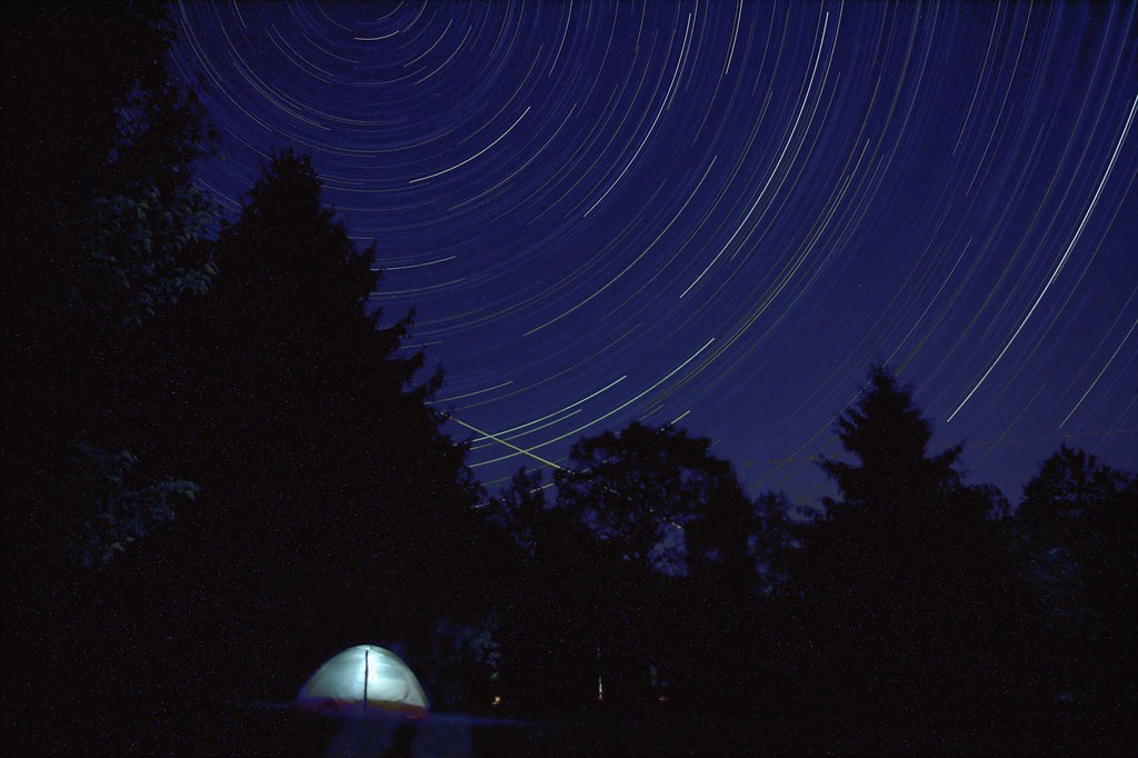
Sleeping under the stars

A light in the dark

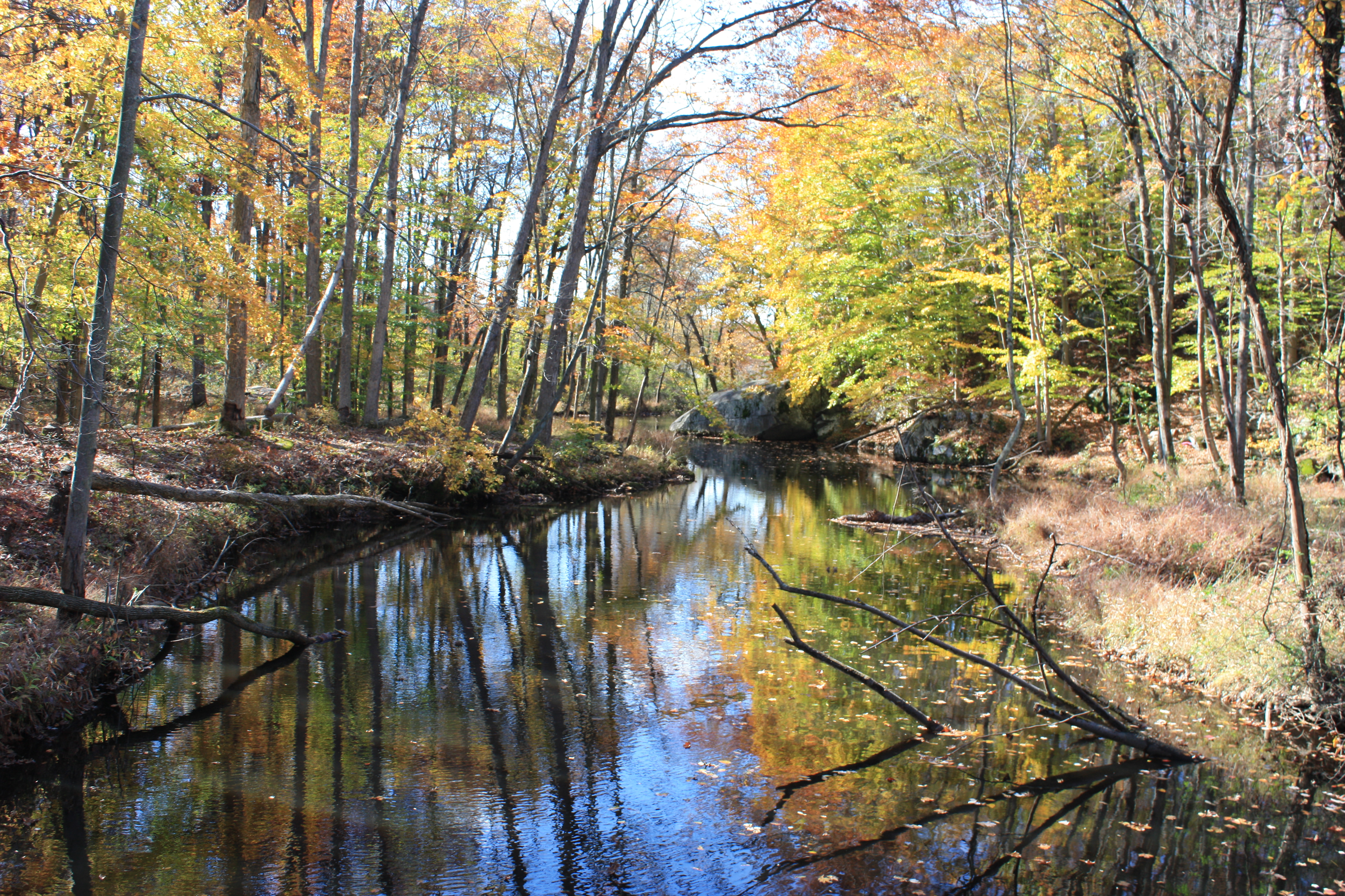
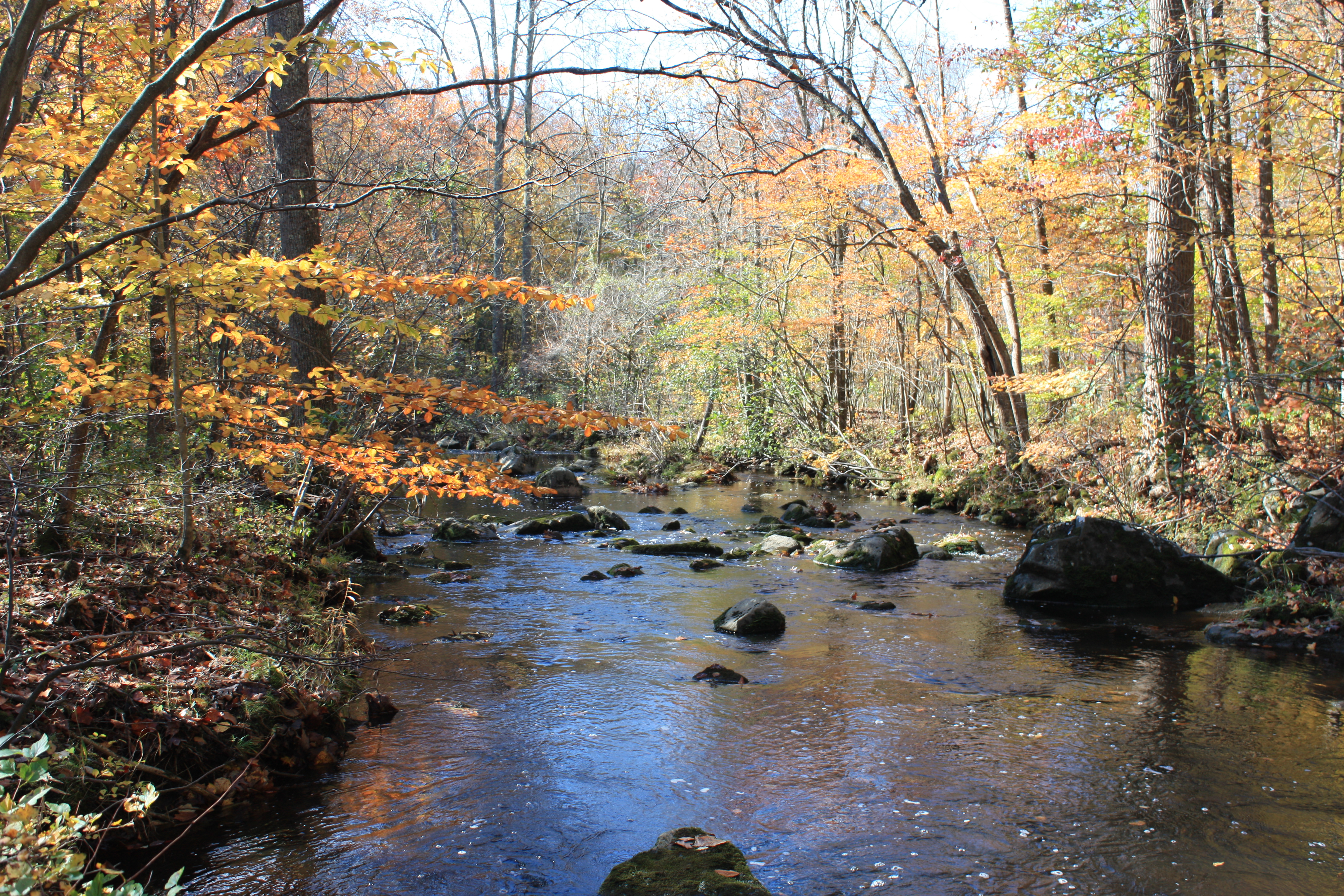
Unami Creek panorama

Corn Flower

Fractal Flower

David's Long Hair 1978
perkiomen_old warehouse1
"All I see are heavy skies...
A little photography session at Green Lane. #reflection #Autumn #fall
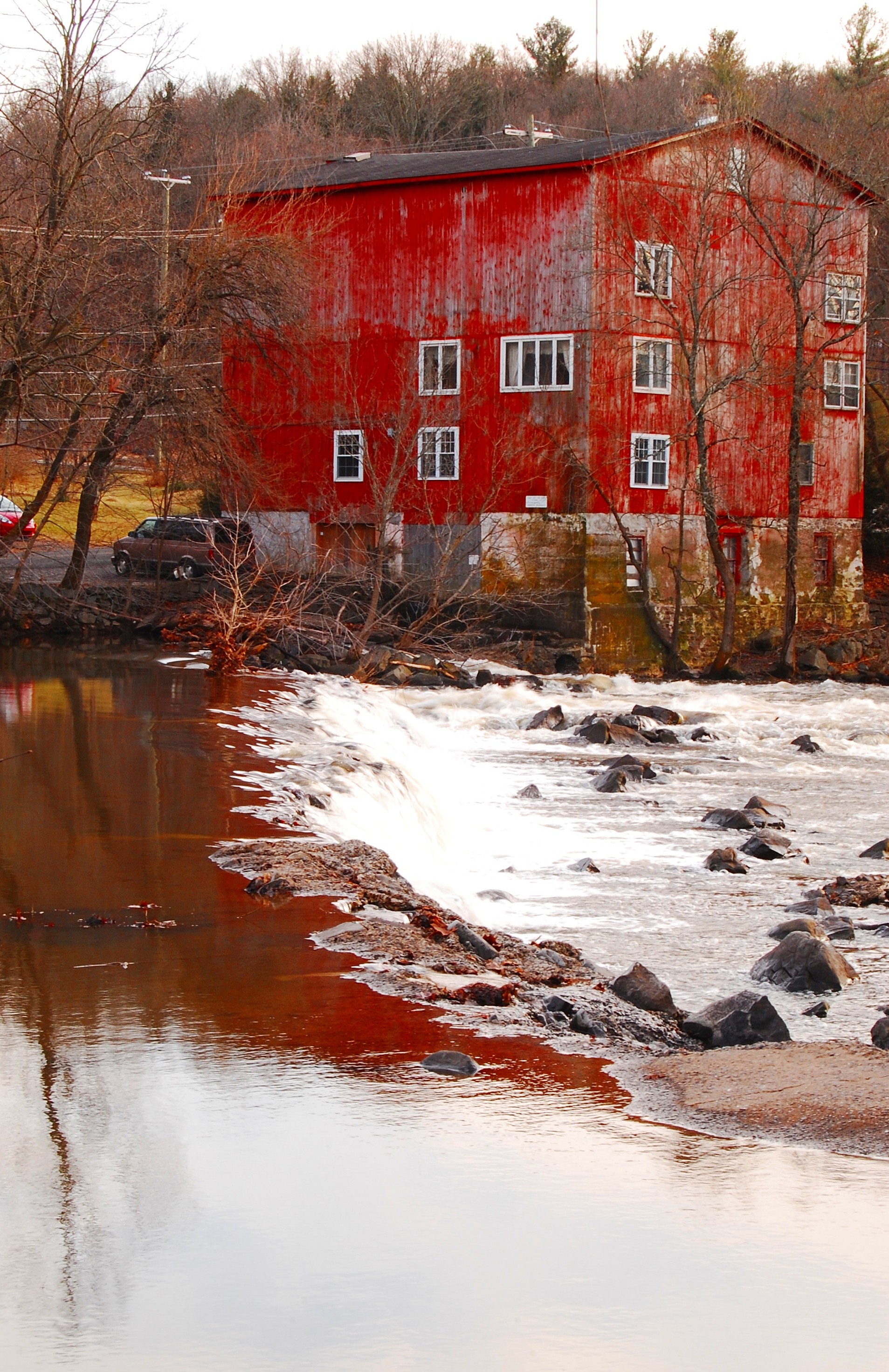
SunRise Mill
Ridge Valley Creek IV
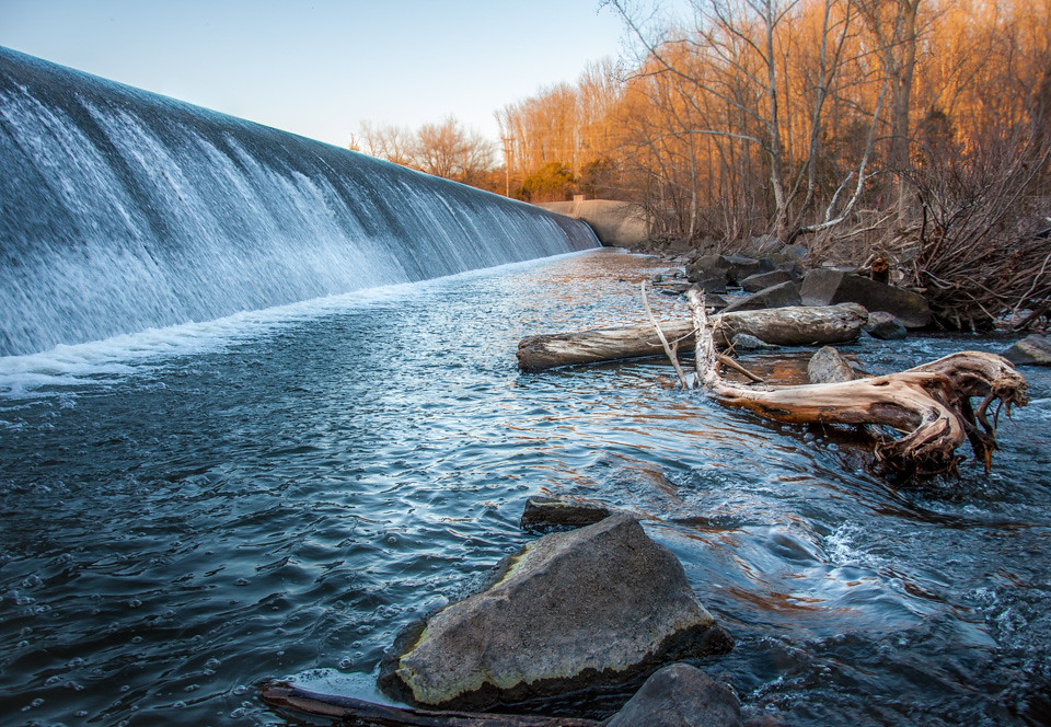
Dam At Green Lane.jpg

Landscape with my favorite tree on the last day of school. Commute Morning Sky
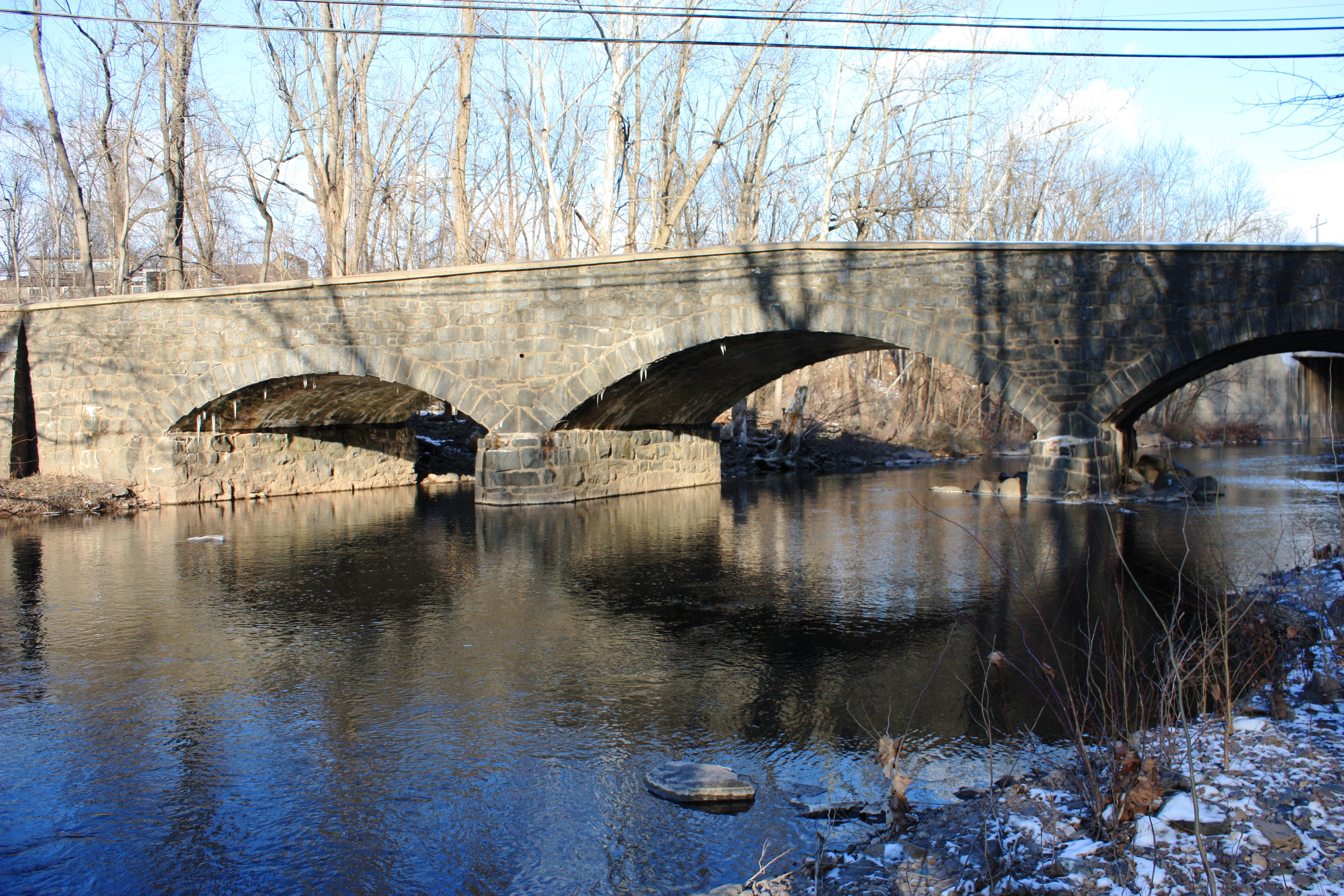
Old Route 29 Bridge over Swamp Creek
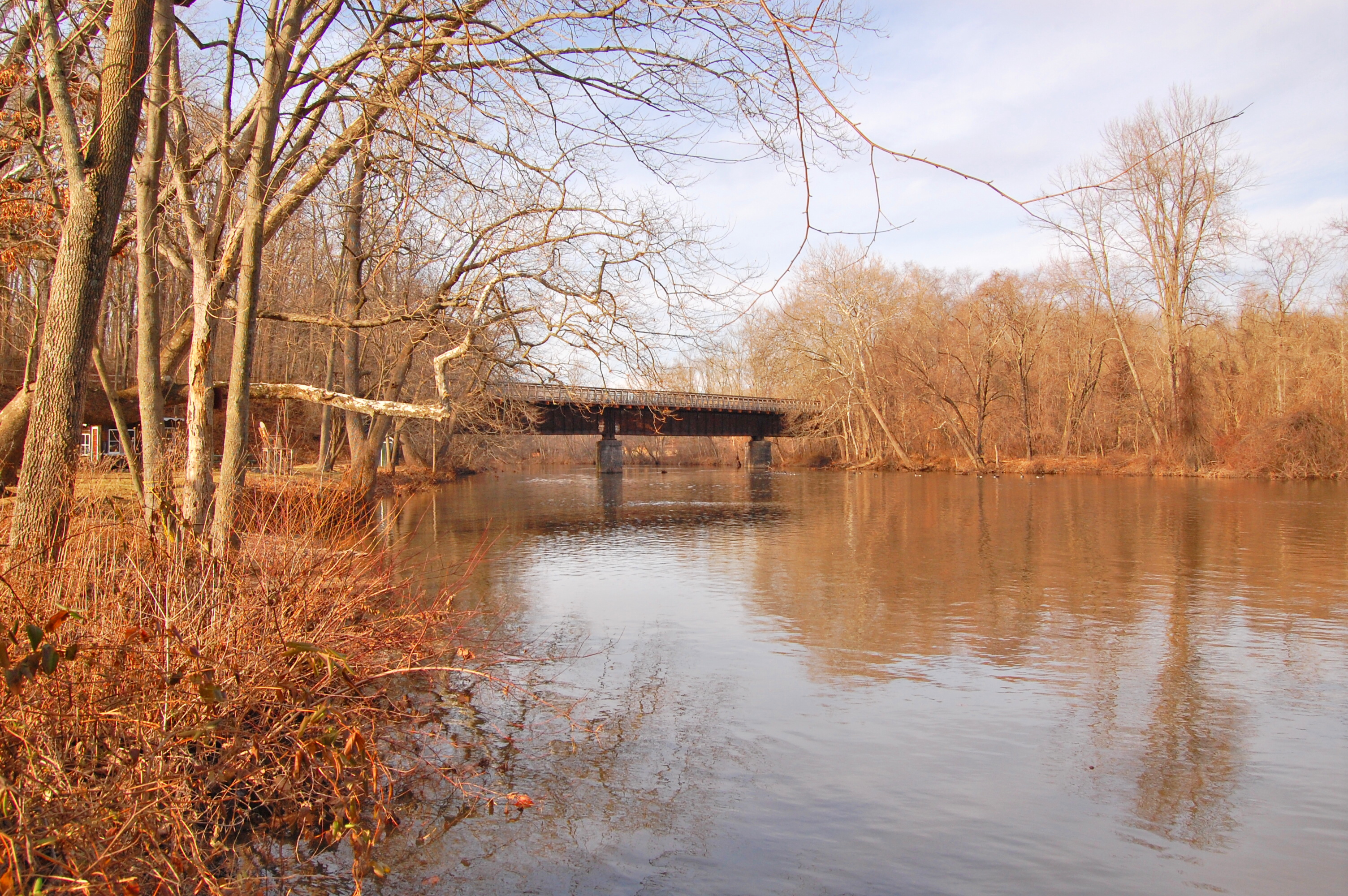
perkiomen bridge1
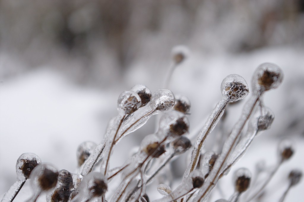
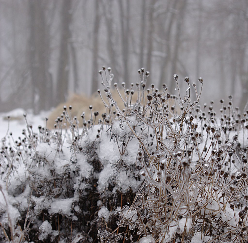
Ice Coated Plant
Winter Garden
Not a bad day.

IMG_2889.JPG
Green Lane/Perk Trail
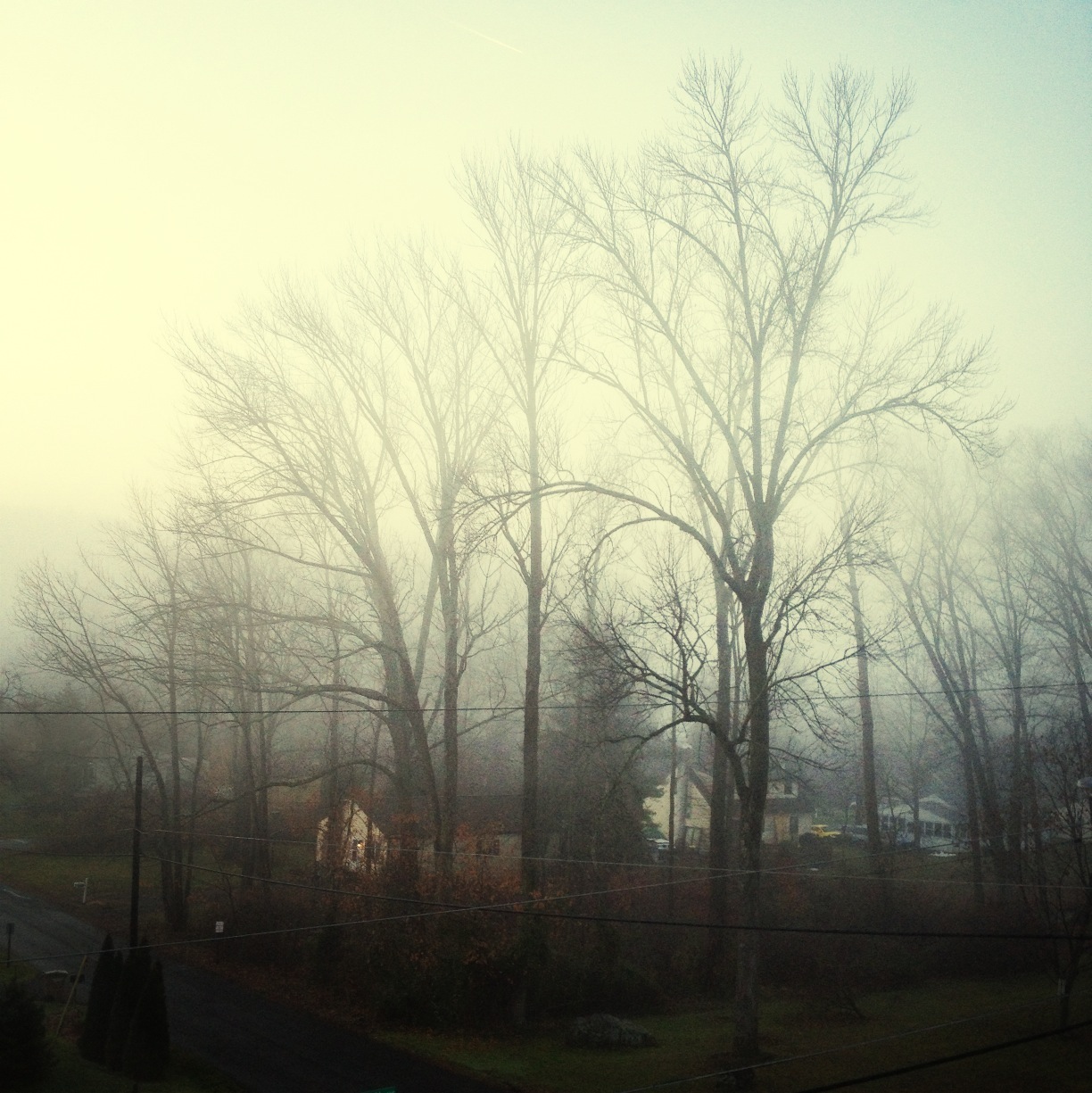
Foggy morning
Happy tuesday, sunshine. Commuting Sunrise at French Creek School
Ridge Valley Creek XX

2014_Autumn-Winter_Hasselblad500CM_Velvia100_009.jpg

Green Lane Reservoir
Topographic Map of New Hanover Township, PA, USA
Find elevation by address:

Places in New Hanover Township, PA, USA:
Places near New Hanover Township, PA, USA:
New Hanover Elementary
Big Rd, Zieglerville, PA, USA
108 Holbrook Ln
Schubelish Road
2962 Anna Way
Frederick
2358 Country Ln
2141 Reindeer Ct
704 Kulp Rd
2531 Finn Rd
2881 Fagleysville Rd
854 Eichele Rd
Upper Frederick Township
Deep Creek Road & Henning Road
Henning Road & Hill Road
2849 Hauck Rd
1601 Woodland Rd
N Sanatoga Rd, Pottstown, PA, USA
270 W Branch Rd
Upper Hanover Township
Recent Searches:
- Elevation of Congressional Dr, Stevensville, MD, USA
- Elevation of Bellview Rd, McLean, VA, USA
- Elevation of Stage Island Rd, Chatham, MA, USA
- Elevation of Shibuya Scramble Crossing, 21 Udagawacho, Shibuya City, Tokyo -, Japan
- Elevation of Jadagoniai, Kaunas District Municipality, Lithuania
- Elevation of Pagonija rock, Kranto 7-oji g. 8"N, Kaunas, Lithuania
- Elevation of Co Rd 87, Jamestown, CO, USA
- Elevation of Tenjo, Cundinamarca, Colombia
- Elevation of Côte-des-Neiges, Montreal, QC H4A 3J6, Canada
- Elevation of Bobcat Dr, Helena, MT, USA