Elevation of Netarhat, Jharkhand, India
Location: India > Jharkhand > Latehar >
Longitude: 84.2647522
Latitude: 23.485434
Elevation: -10000m / -32808feet
Barometric Pressure: 295KPa
Elevation Map:
Satellite Map:
Related Photos:
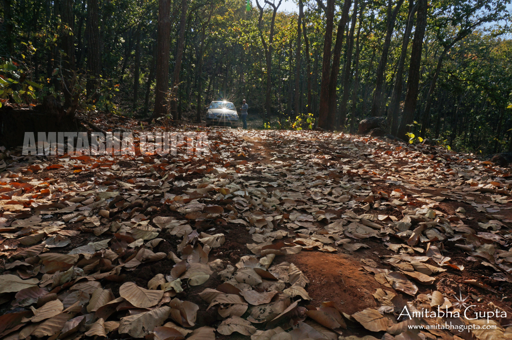
Inside the jungle of Netarhat, Jharkhand
Topographic Map of Netarhat, Jharkhand, India
Find elevation by address:

Places near Netarhat, Jharkhand, India:
Latehar
Chainpur
Manika
Kusmi
Jashpur Nagar
Balrampur
Ramanuj Ganj
Balrampur
Badalkhol Wildlife Sanctuary Jashpur
Balrampur
Jashpur
Rajpur
Batauli
Pratappur
Wadraf Nagar
Ambikapur
Mainpat
Surguja
Tamor Pingla Aabhayaran
Sariya
Recent Searches:
- Elevation of Elwyn Dr, Roanoke Rapids, NC, USA
- Elevation of Congressional Dr, Stevensville, MD, USA
- Elevation of Bellview Rd, McLean, VA, USA
- Elevation of Stage Island Rd, Chatham, MA, USA
- Elevation of Shibuya Scramble Crossing, 21 Udagawacho, Shibuya City, Tokyo -, Japan
- Elevation of Jadagoniai, Kaunas District Municipality, Lithuania
- Elevation of Pagonija rock, Kranto 7-oji g. 8"N, Kaunas, Lithuania
- Elevation of Co Rd 87, Jamestown, CO, USA
- Elevation of Tenjo, Cundinamarca, Colombia
- Elevation of Côte-des-Neiges, Montreal, QC H4A 3J6, Canada