Elevation of Nej Gaon, Maharashtra, India
Location: India > Maharashtra > Kolhapur >
Longitude: 74.4283807
Latitude: 16.8026341
Elevation: 577m / 1893feet
Barometric Pressure: 95KPa
Elevation Map:
Satellite Map:
Related Photos:
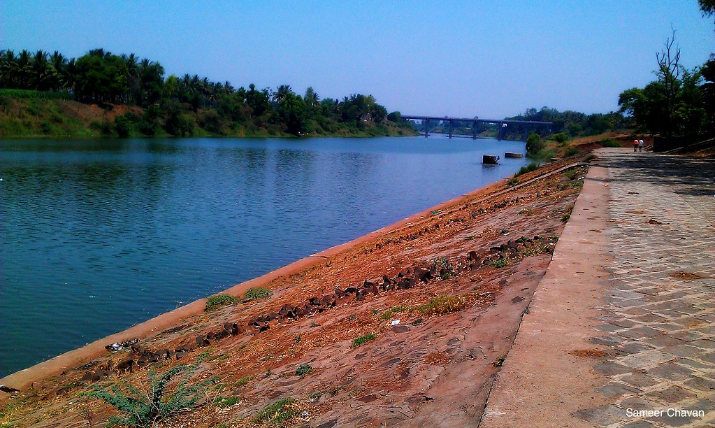
sangli river bank
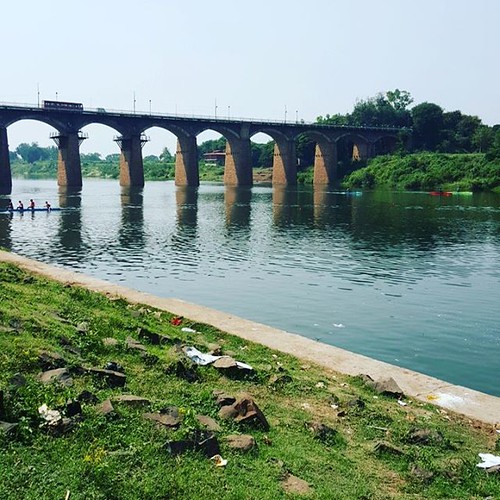
Sangli bridge. Onec i use to swim across this river keishna here in school days.

DMIT Test , Counselling

DMIT Test , Counselling

Ganapati bappa morya!

कणेरी मठ, पेठचा गणपती, जोतिबा, नरसोबाची वाडी, महालक्ष्मी कोल्हापूर.

कणेरी मठ, पेठचा गणपती, जोतिबा, नरसोबाची वाडी, महालक्ष्मी कोल्हापूर.

Ganesh temple

Lord Ganesh temple

Leisha at sangli city Lord Ganesh teme

#geocaching #cryptex #kryptex #d5 #tradi #archived :-/

Helicopter...!!!

KMT's beauty at Wadgaon near Aashta.

MH-20 / D 8002. Tasgaon depot's converted semi.

Bhokare Amol

07072008(023)_NLT
Topographic Map of Nej Gaon, Maharashtra, India
Find elevation by address:

Places near Nej Gaon, Maharashtra, India:
Nej
Kumbhoj
Narande
Kolhapur - Sangli Highway
Birdevwadi
Alate
Hingangaon
Kavathesar
Mateen Fabrciators & Contractors
Hatkanangale
Nimshirgaon
Shri Laxmi Co-op. Industrial Estate
Korochi
Khochi
Tardal
Mangaonwadi
Shree Samarath Nagar
Radhakrishna Colony
Bhendwade
Kavathe Piran
Recent Searches:
- Elevation map of Kabardino-Balkarian Republic, Russia
- Elevation of Tyrnyauz, Kabardino-Balkarian Republic, Russia
- Elevation of Sunset Dr, Hernando, MS, USA
- Elevation of Lake Rotoroa, Tasman, New Zealand
- Elevation of George St, New Bern, NC, USA
- Elevation of Cove Rd, Jasper, GA, USA
- Elevation of Cove Rd, Jasper, GA, USA
- Elevation of South Yankee Meadow Road, Forest Road, Paragonah, UT, USA
- Elevation of SW Elderview Dr, Sherwood, OR, USA
- Elevation of Hickory St, Greenville, NC, USA