Elevation of Needham Ave, Early, IA, USA
Location: United States > Iowa > Sac County > Boyer Valley >
Longitude: -95.089299
Latitude: 42.4625289
Elevation: 402m / 1319feet
Barometric Pressure: 97KPa
Elevation Map:
Satellite Map:
Related Photos:
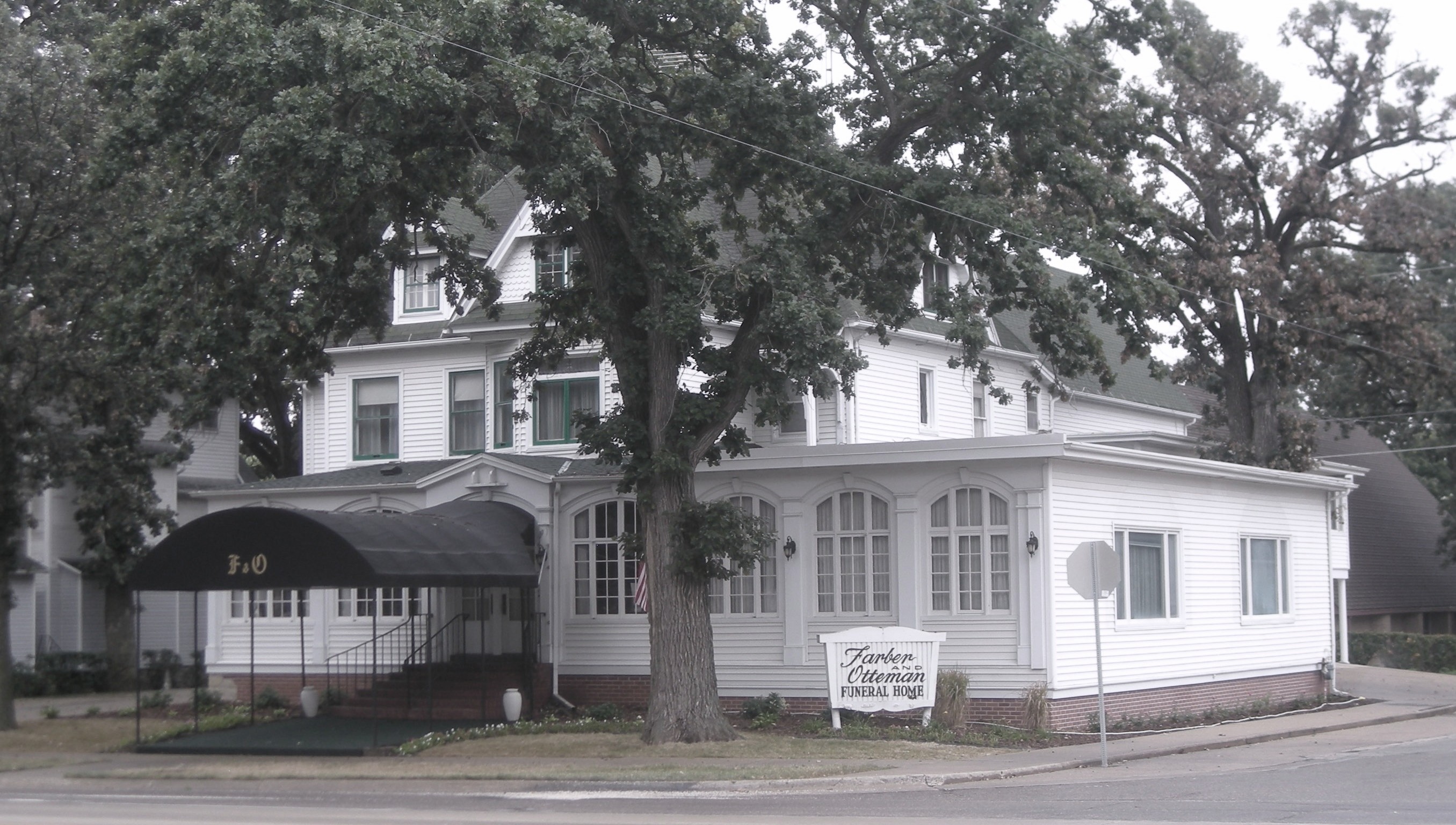
former Farber & Otteman Funeral Home - Sac City, Iowa

JimF_08-28-10-0025a park in Sac City
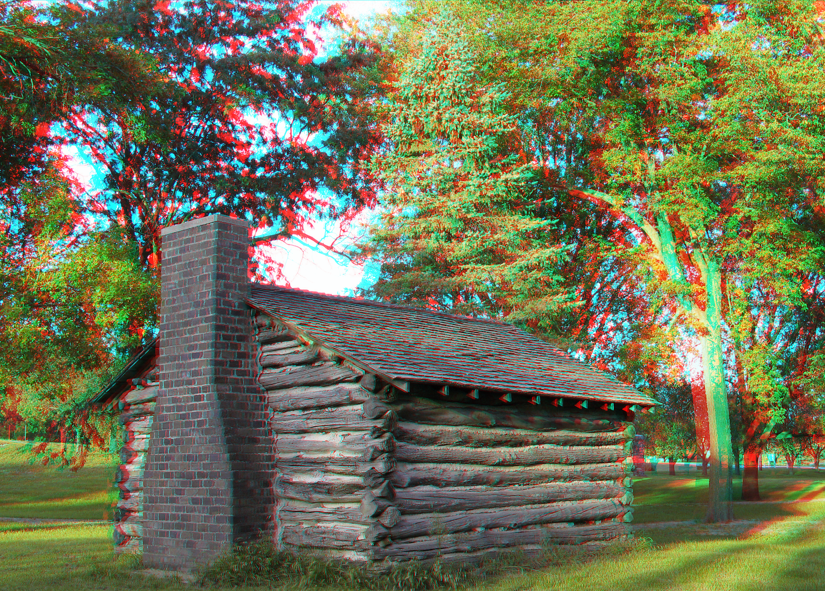
JimF_08-28-10-0014a park in Sac City

JimF_04-01-10-0024a getting the campground ready
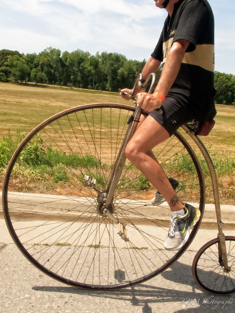
Coasting on a High Wheeler. RAGBRAI XL.

Break Time, in Sac City. RAGBRAI XL.
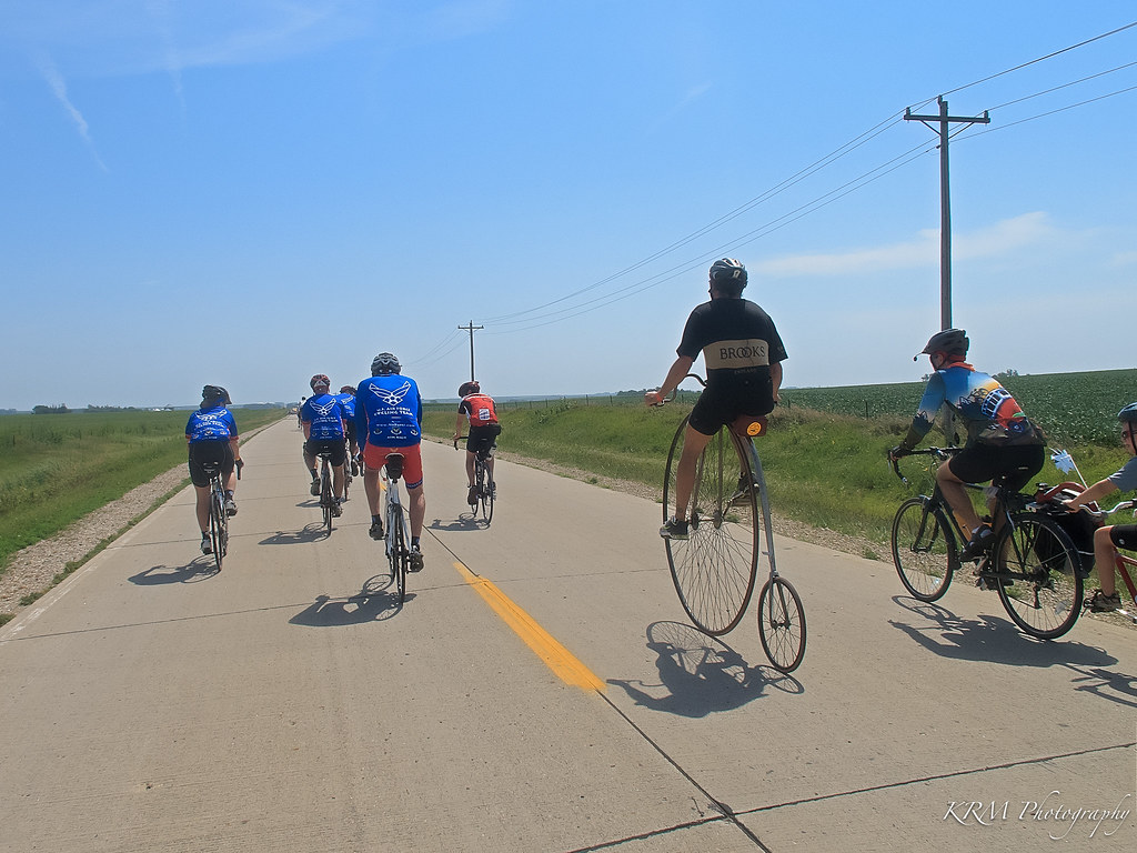
USAF Team Passing on the Left. RAGBRAI XL.
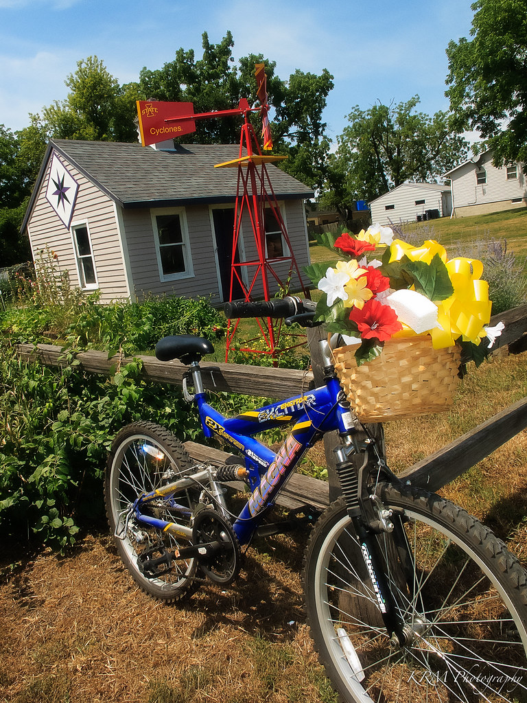
Front Yard Decorations, in Sac City. RAGBRAI XL.
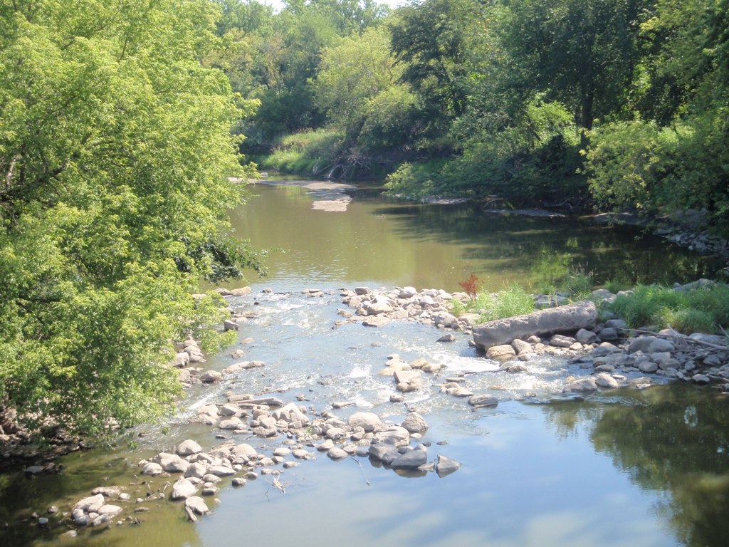
North Racoon River, Sac City
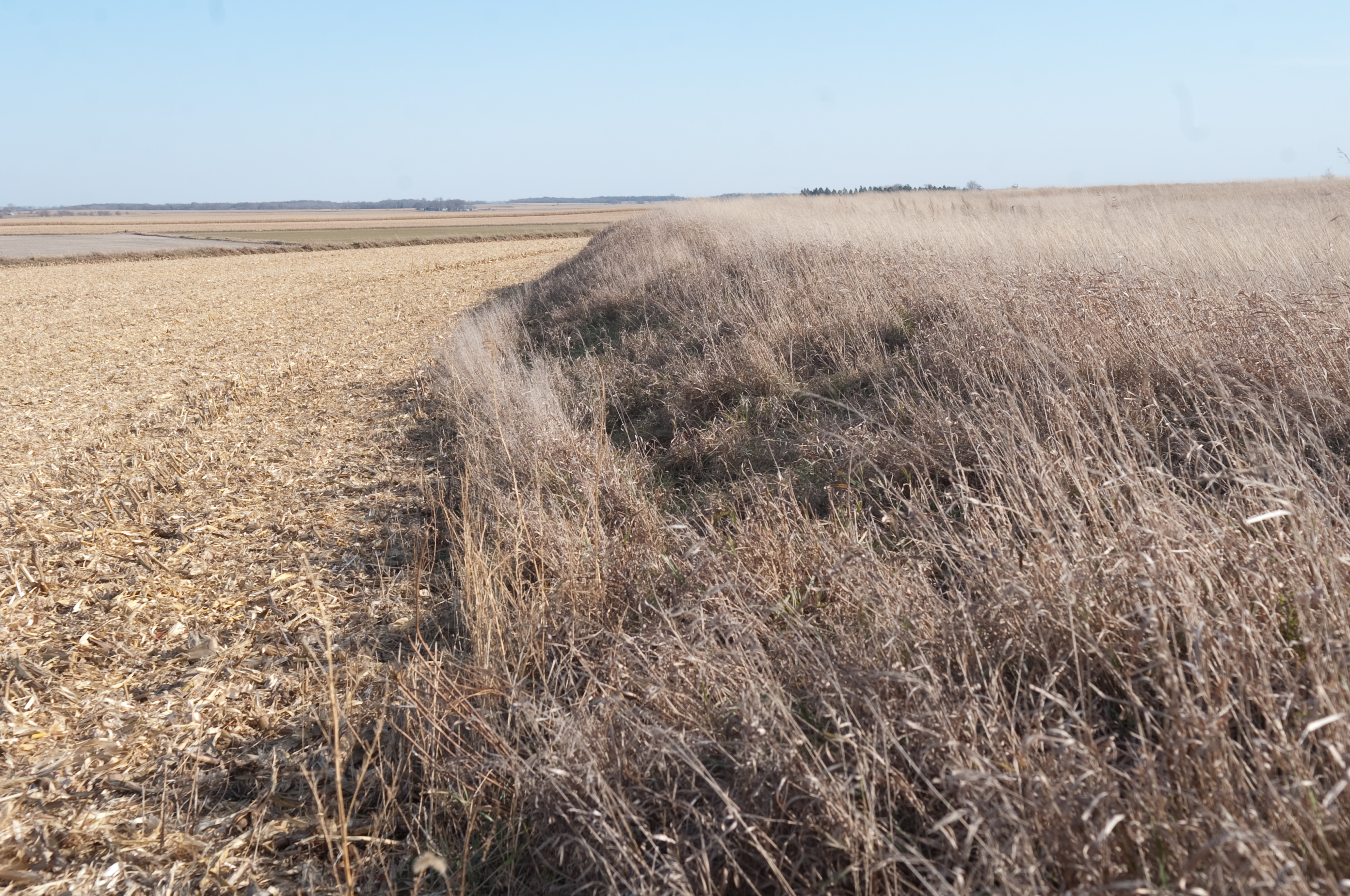
Terraced crop land in Sac County
Topographic Map of Needham Ave, Early, IA, USA
Find elevation by address:

Places near Needham Ave, Early, IA, USA:
2468 230th St
2670 Us-71
514 Walnut St
E 2nd St, Early, IA, USA
Early
Jackson
Boyer Valley
1916 W Main St
119 S 16th St
521 W Main St
N 5th St, Sac City, IA, USA
Sac City
Sac County
Wall Lake
3141 255th St
Clinton
Lake View
9th St, Lake View, IA, USA
2071 330th St
Cedar
Recent Searches:
- Elevation of Leguwa, Nepal
- Elevation of County Rd, Enterprise, AL, USA
- Elevation of Kolchuginsky District, Vladimir Oblast, Russia
- Elevation of Shustino, Vladimir Oblast, Russia
- Elevation of Lampiasi St, Sarasota, FL, USA
- Elevation of Elwyn Dr, Roanoke Rapids, NC, USA
- Elevation of Congressional Dr, Stevensville, MD, USA
- Elevation of Bellview Rd, McLean, VA, USA
- Elevation of Stage Island Rd, Chatham, MA, USA
- Elevation of Shibuya Scramble Crossing, 21 Udagawacho, Shibuya City, Tokyo -, Japan