Elevation of Nebraska National Forest, N Main St, Chadron, NE, USA
Location: United States > Nebraska > Dawes County > Chadron >
Longitude: -102.94354
Latitude: 42.7095789
Elevation: 1258m / 4127feet
Barometric Pressure: 87KPa
Elevation Map:
Satellite Map:
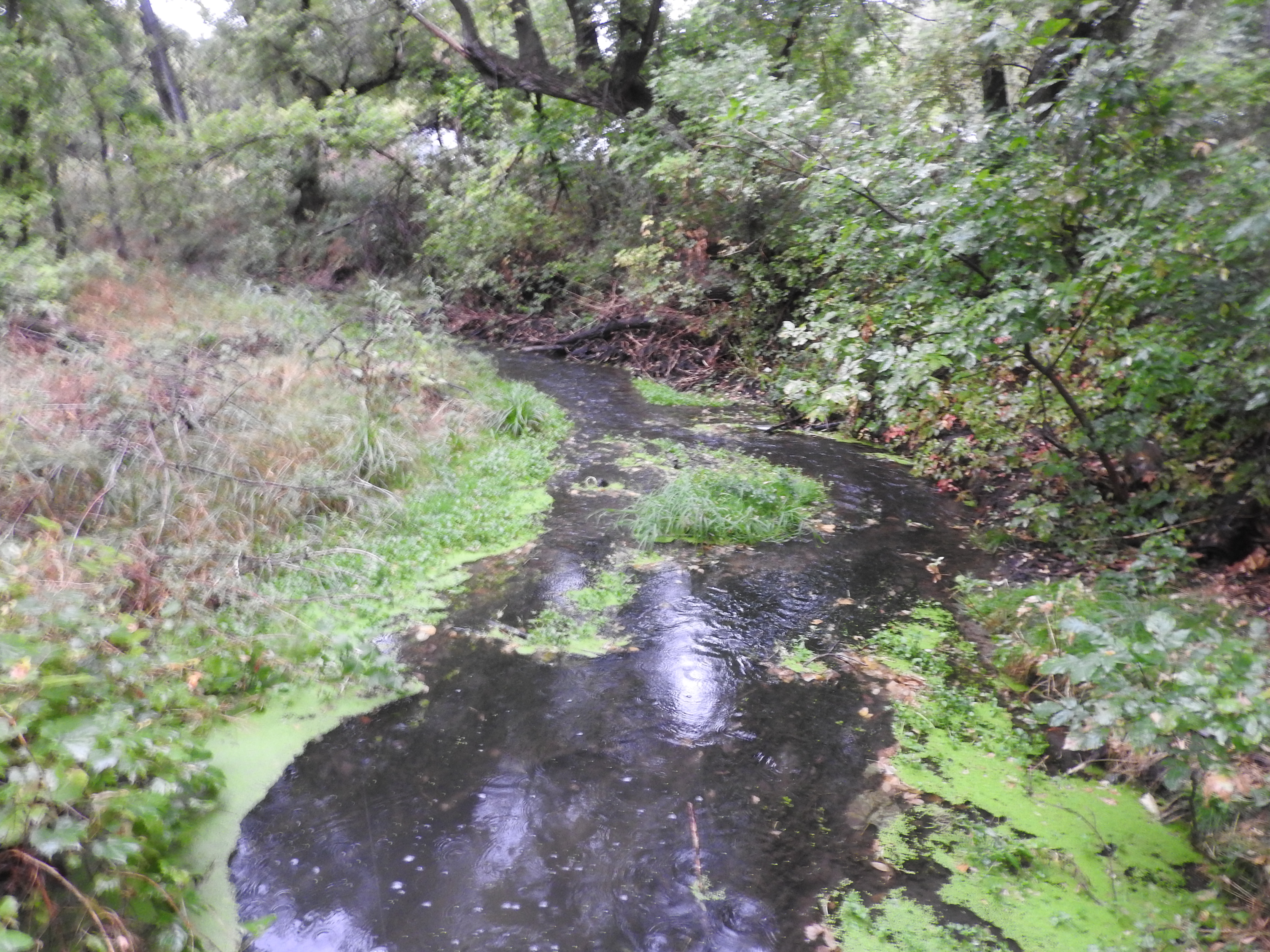
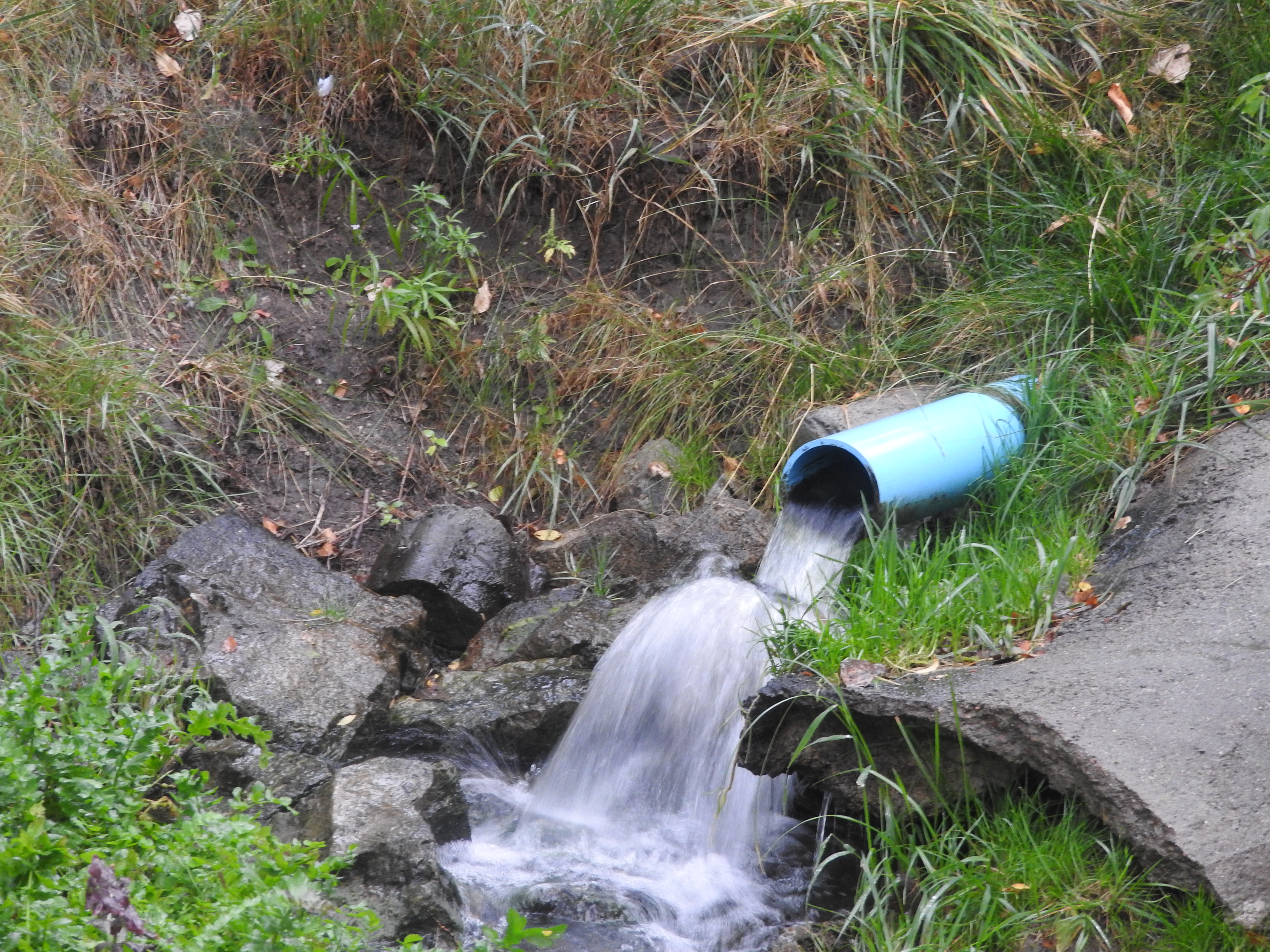
Related Photos:
frozen lake appears as sky
Pond Reflection
nature glow
Blue Steel took a picture!
Blue Steel took a picture!
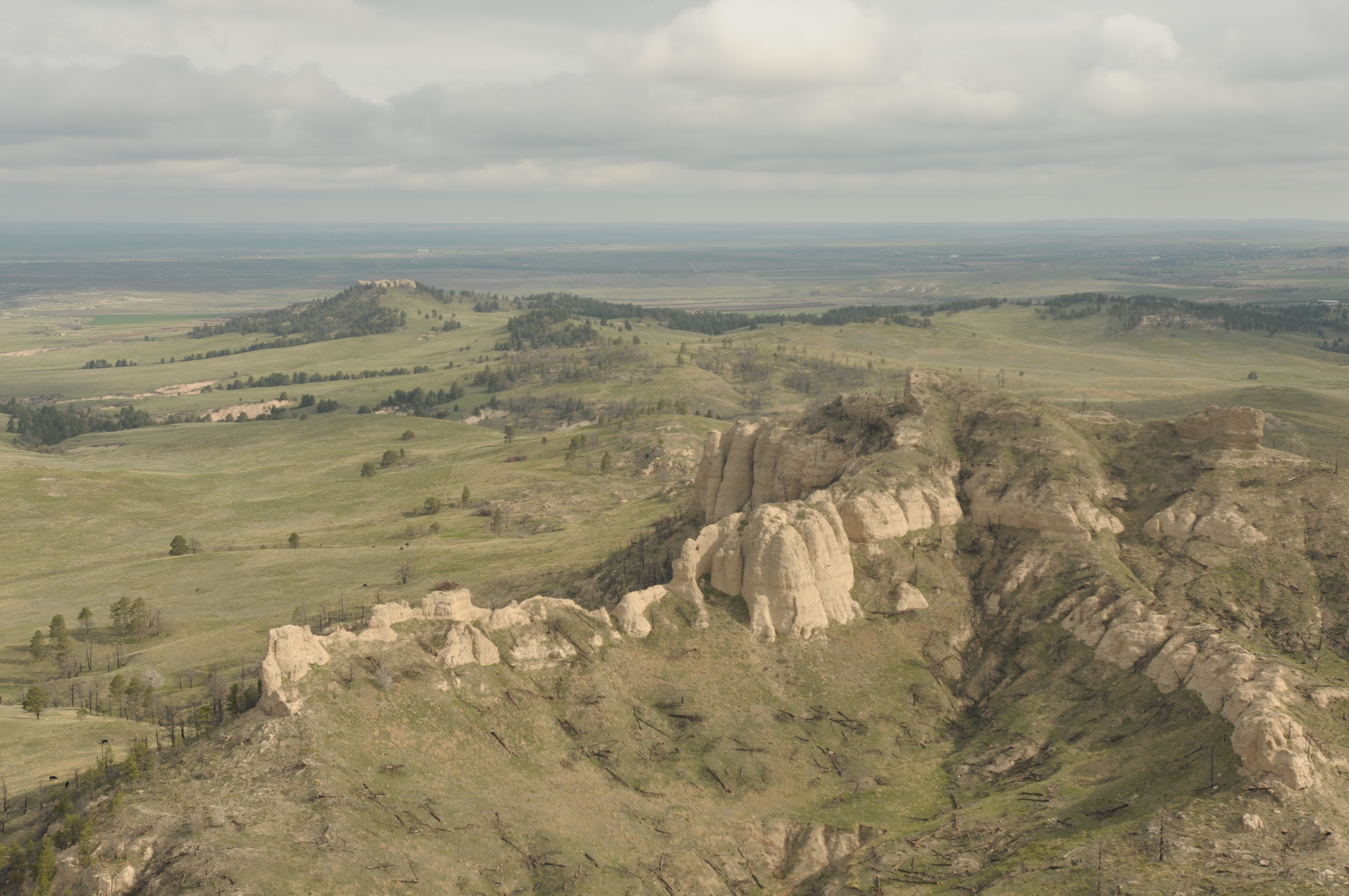
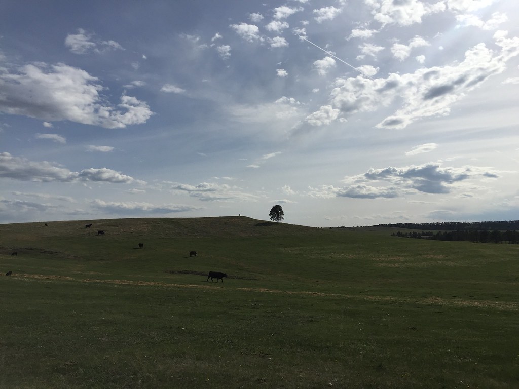
Aerial View Pine Ridge Nebraska 042117
Blue Steel took a picture!
Blue Steel took a picture!
Blue Steel took a picture!
Blue Steel took a picture!
Last Ride

IMG_1463_4_5Enhancer.jpg

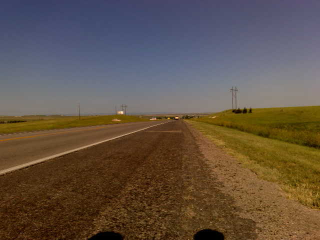
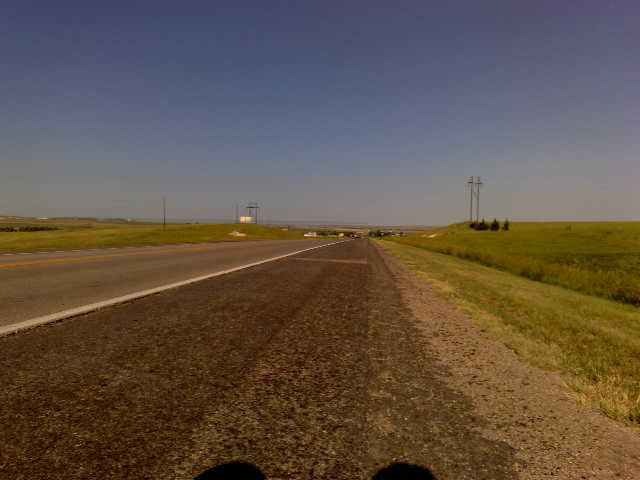
Center of the Nation Marathon Series - Day 5
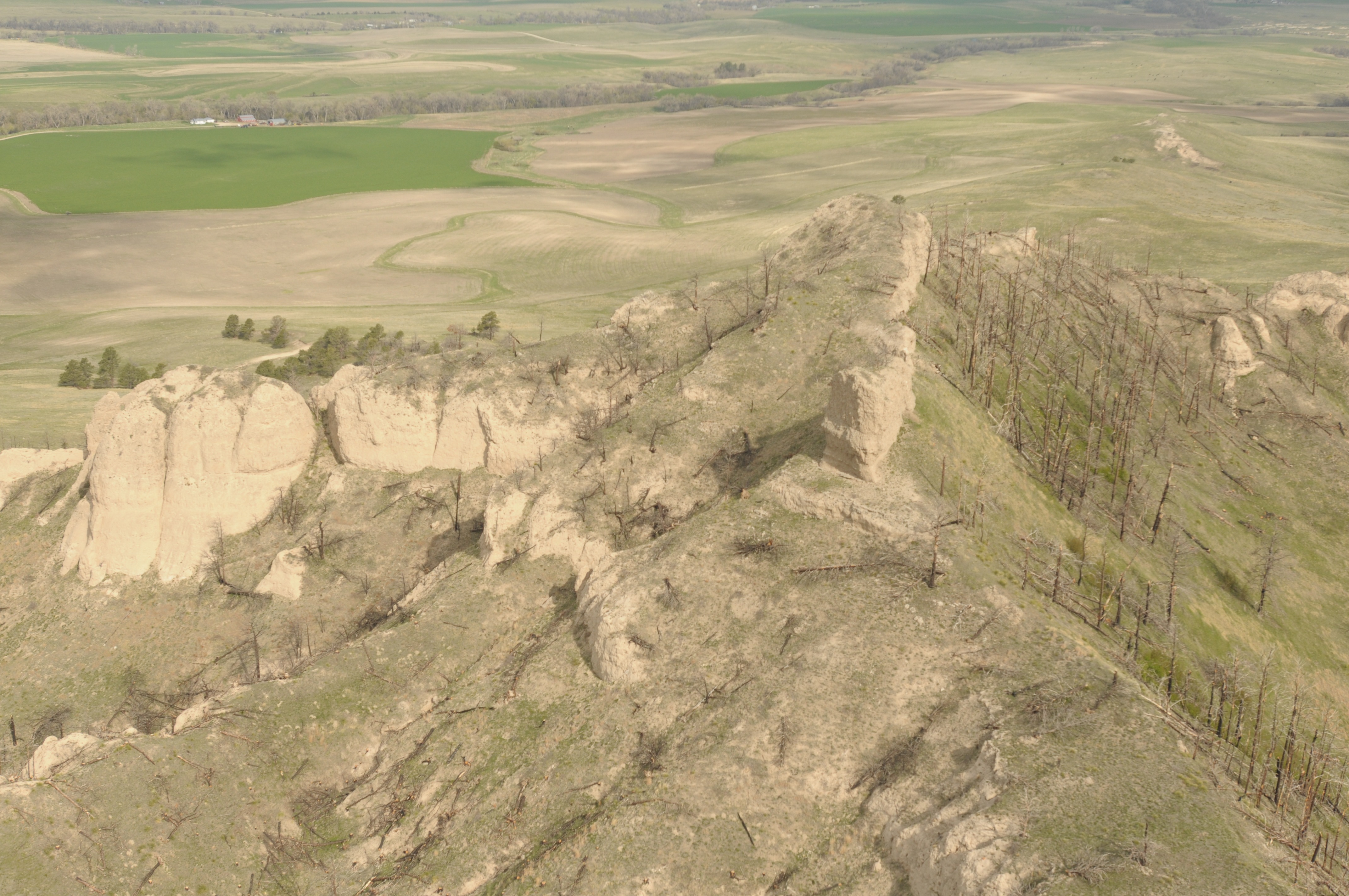
Aerial View Pine Ridge Nebraska 042117
her final home

Aerial Photograph, Pine Ridge and Vicinity
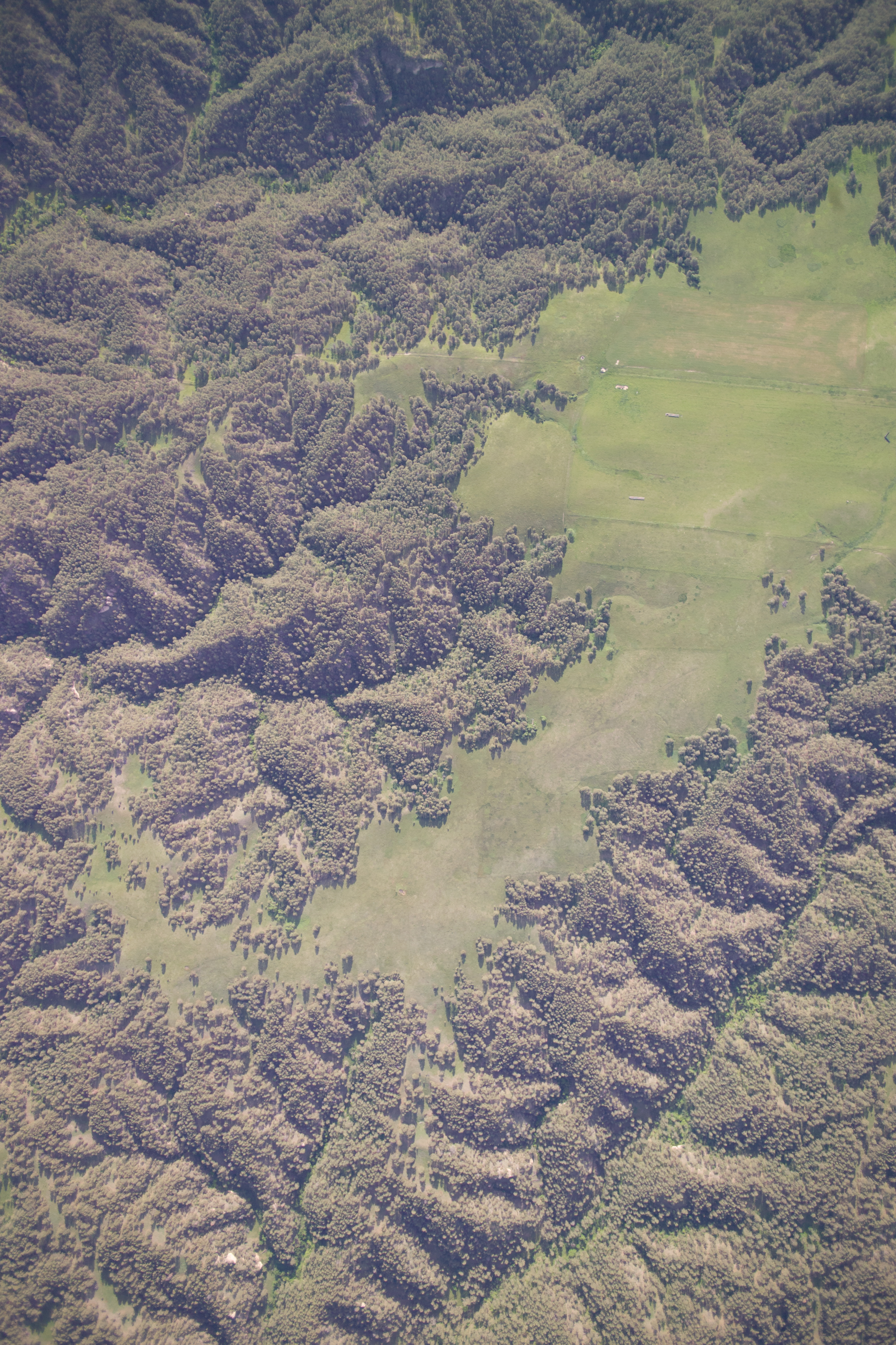
Aerial Photograph, Pine Ridge and Vicinity
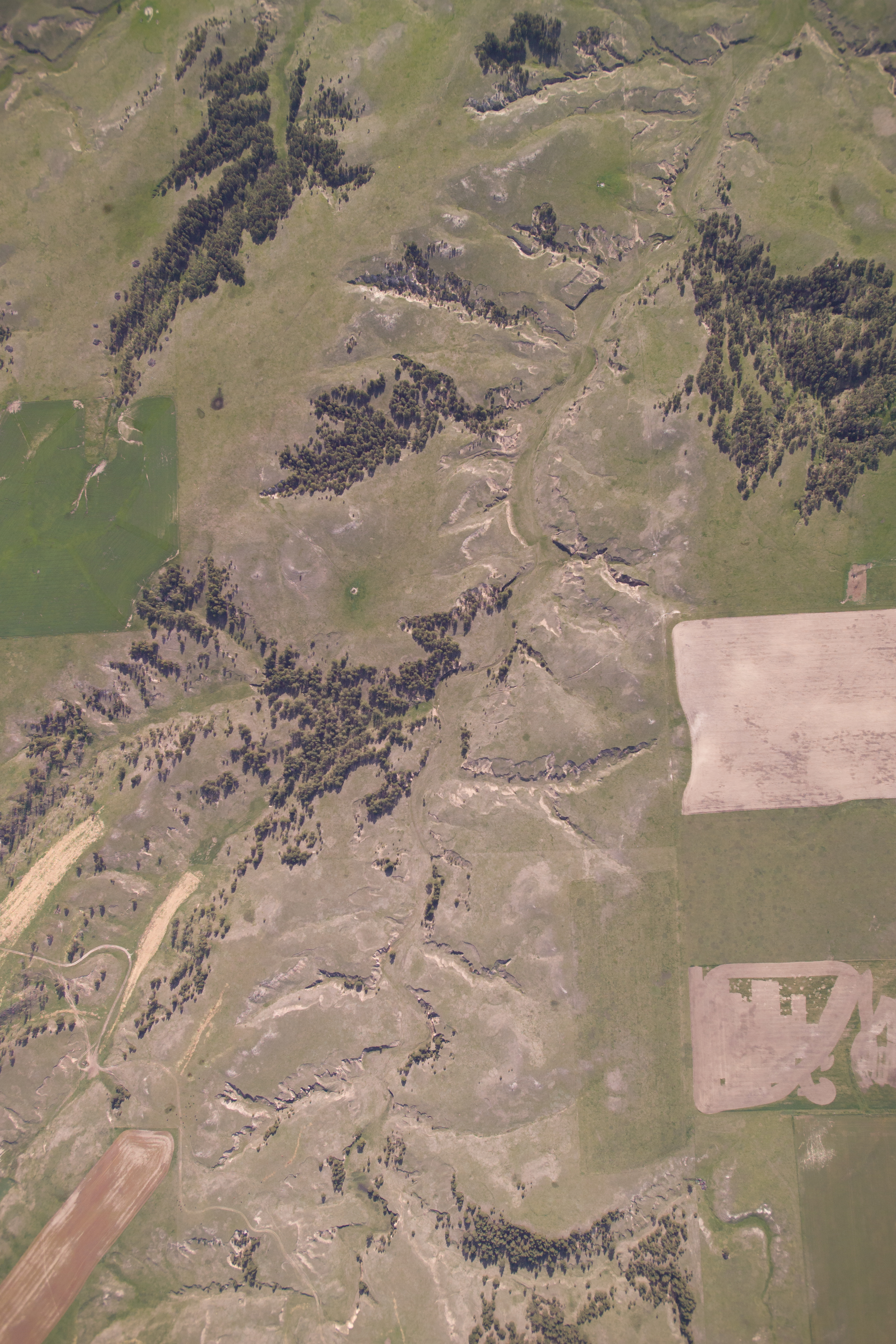
Aerial Photograph, Pine Ridge and Vicinity
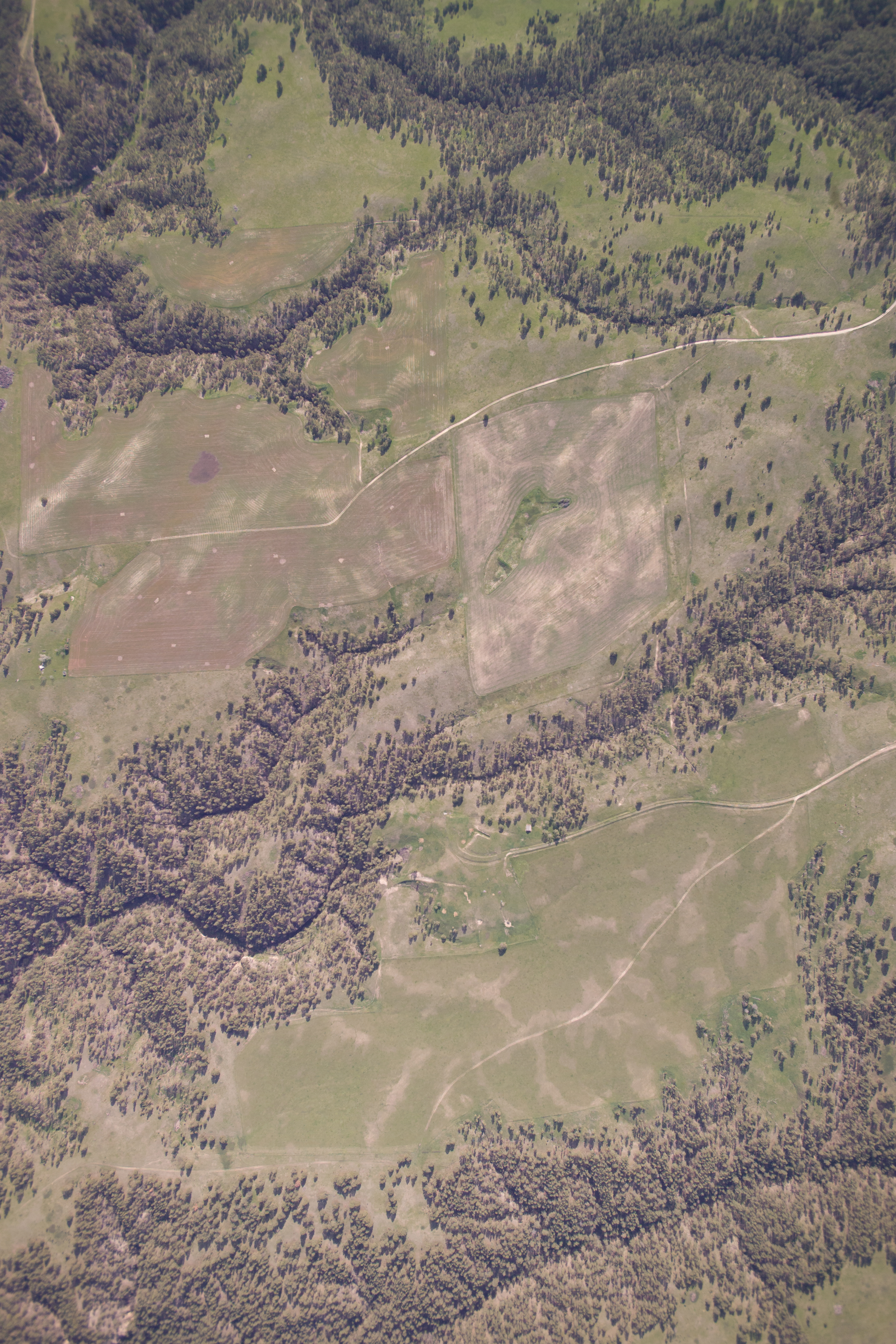
Aerial Photograph, Pine Ridge and Vicinity
Center of the Nation Marathon Series - Day 5
Center of the Nation Marathon Series - Day 5
Topographic Map of Nebraska National Forest, N Main St, Chadron, NE, USA
Find elevation by address:

Places near Nebraska National Forest, N Main St, Chadron, NE, USA:
Chadron State Park
61 Country Club Rd
Chadron
Morehead St, Chadron, NE, USA
Dawes County
Hay Springs
N Main St, Hay Springs, NE, USA
Hay Springs
Hemingford
Buffalo Pasture Road
Dorsey
Marsland
Crawford
Prairie Wind Casino & Hotel
Nonpareil
Fort Robinson Museum
Box Butte County
444 Deadman Rd
8181 Keith Rd
West Oglala Lakota
Recent Searches:
- Elevation of Leguwa, Nepal
- Elevation of County Rd, Enterprise, AL, USA
- Elevation of Kolchuginsky District, Vladimir Oblast, Russia
- Elevation of Shustino, Vladimir Oblast, Russia
- Elevation of Lampiasi St, Sarasota, FL, USA
- Elevation of Elwyn Dr, Roanoke Rapids, NC, USA
- Elevation of Congressional Dr, Stevensville, MD, USA
- Elevation of Bellview Rd, McLean, VA, USA
- Elevation of Stage Island Rd, Chatham, MA, USA
- Elevation of Shibuya Scramble Crossing, 21 Udagawacho, Shibuya City, Tokyo -, Japan