Elevation of NE th St, Vancouver, WA, USA
Location: United States > Washington > Clark County > Vancouver > Orchards Area Concerned Citizens >
Longitude: -122.56570
Latitude: 45.697635
Elevation: 66m / 217feet
Barometric Pressure: 101KPa
Elevation Map:
Satellite Map:
Related Photos:
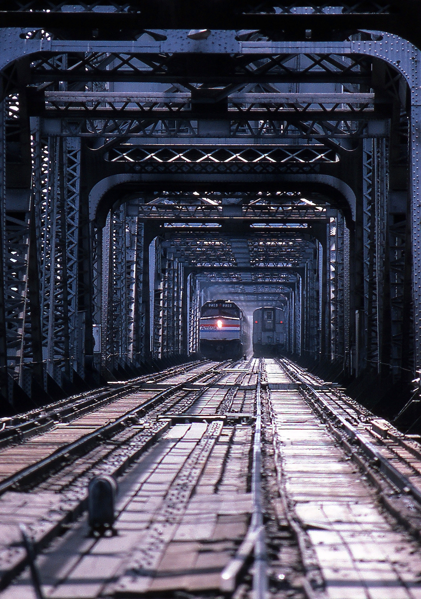
Coming and Going
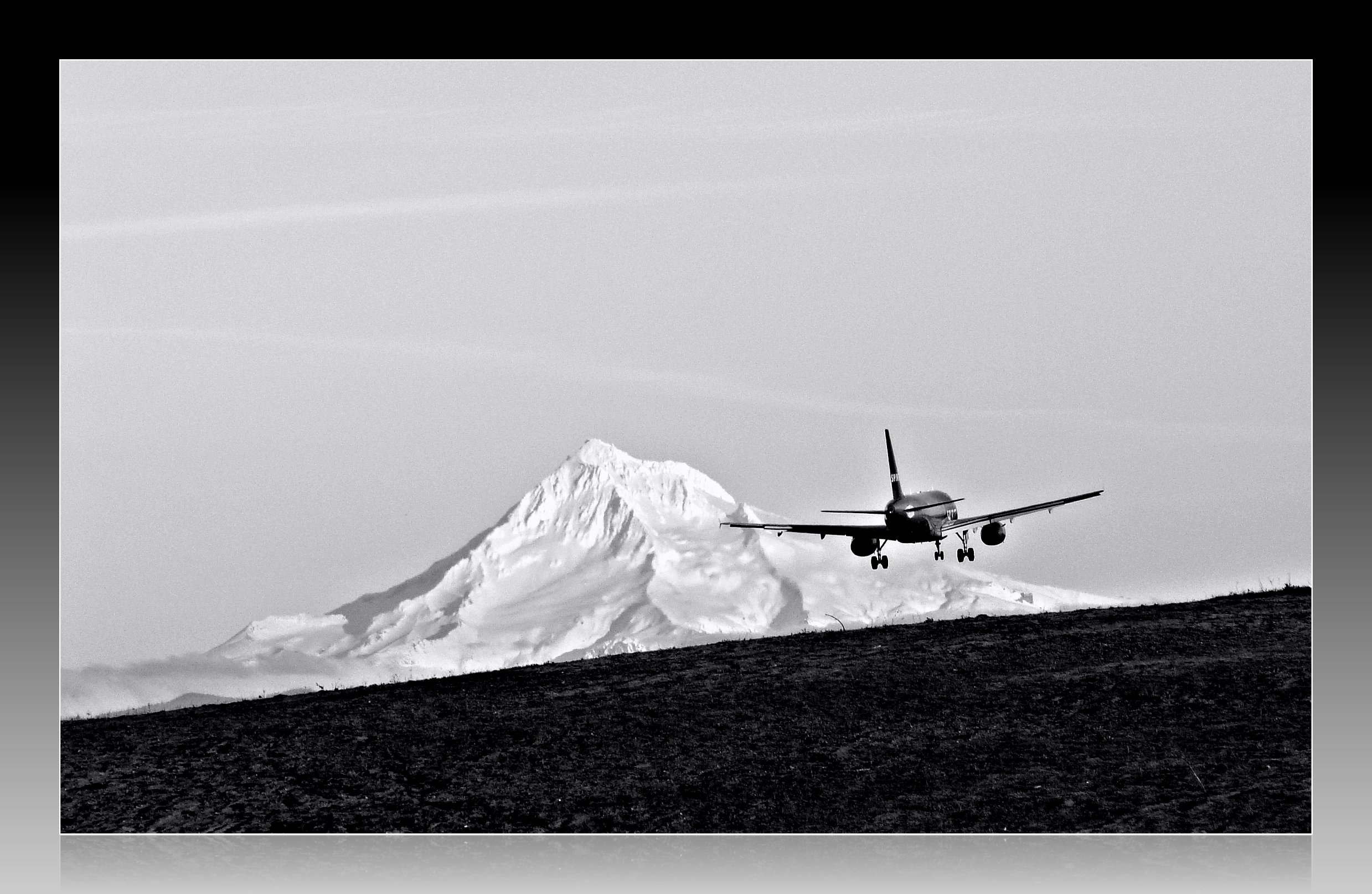
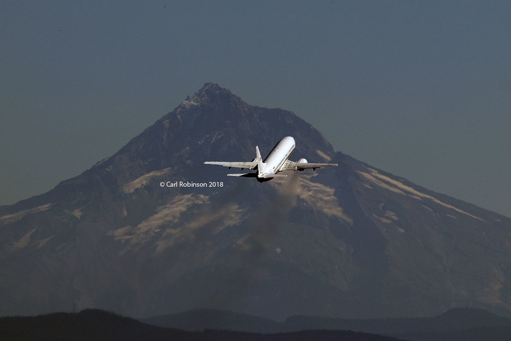
Leavin' on a Jet Plane
GE Diesel Locomotive (Start Up)
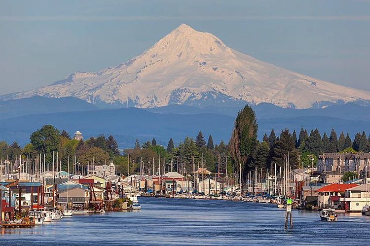
Majestic Mt Hood towering over floating homes along Columbia River . . . . #mounthood #floatinghouse #columbiariver #traveloregon #jj_westcoast #jj_oregon #gramkillerz #portlandlife #mthoodterritory #columbiarivergorge #exploreoregon #purplepassport #expl
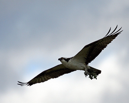
Time to make the Nest
We got kicked out of the local park for being off-leash by Park Rangers. The next closest gated, off-leash park on the Portland Parks & Recreation list of places to go was an extra 80 blocks away, but well worth the surprise view of Mt. St. Helens. #NYTvo
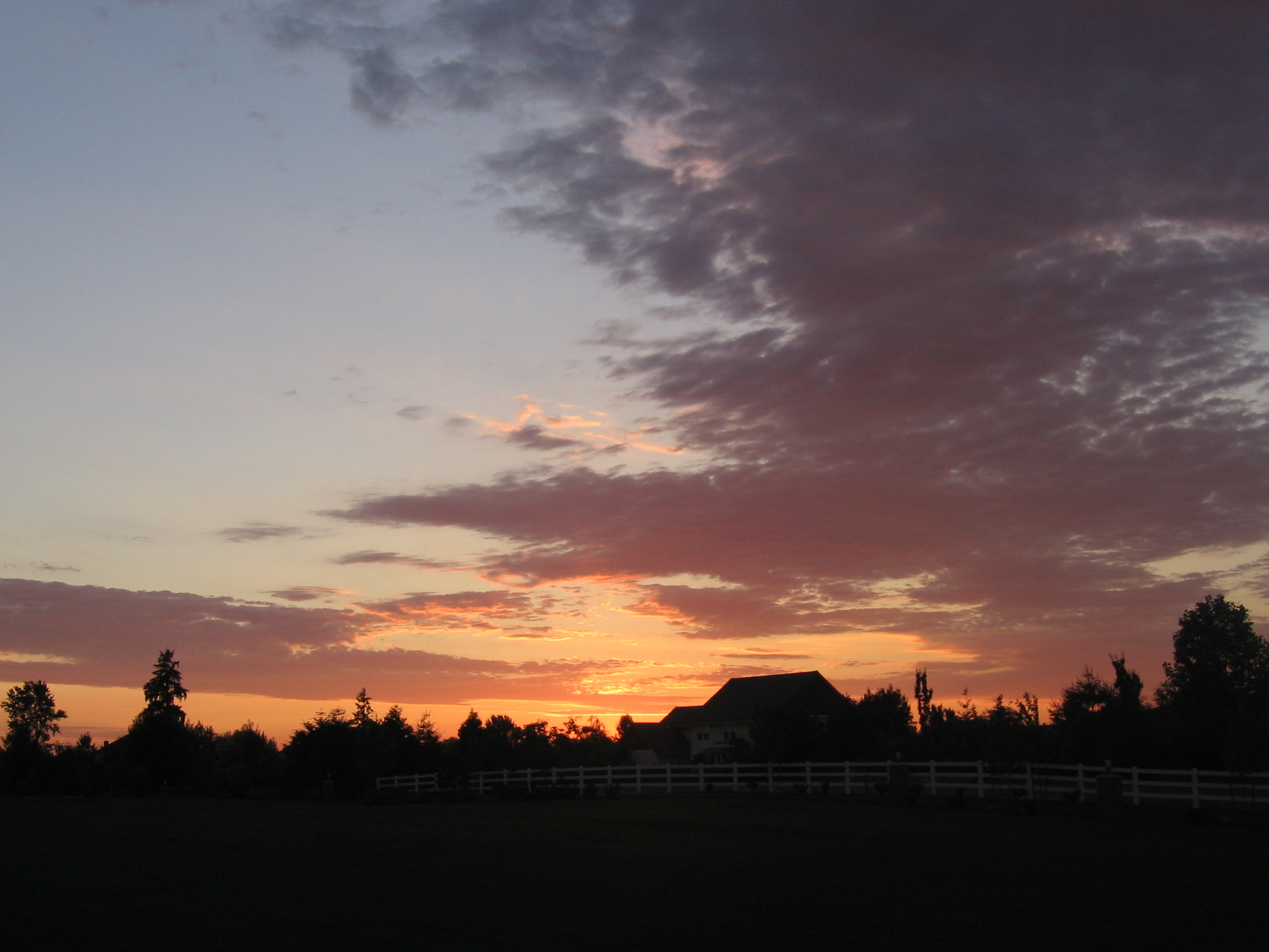
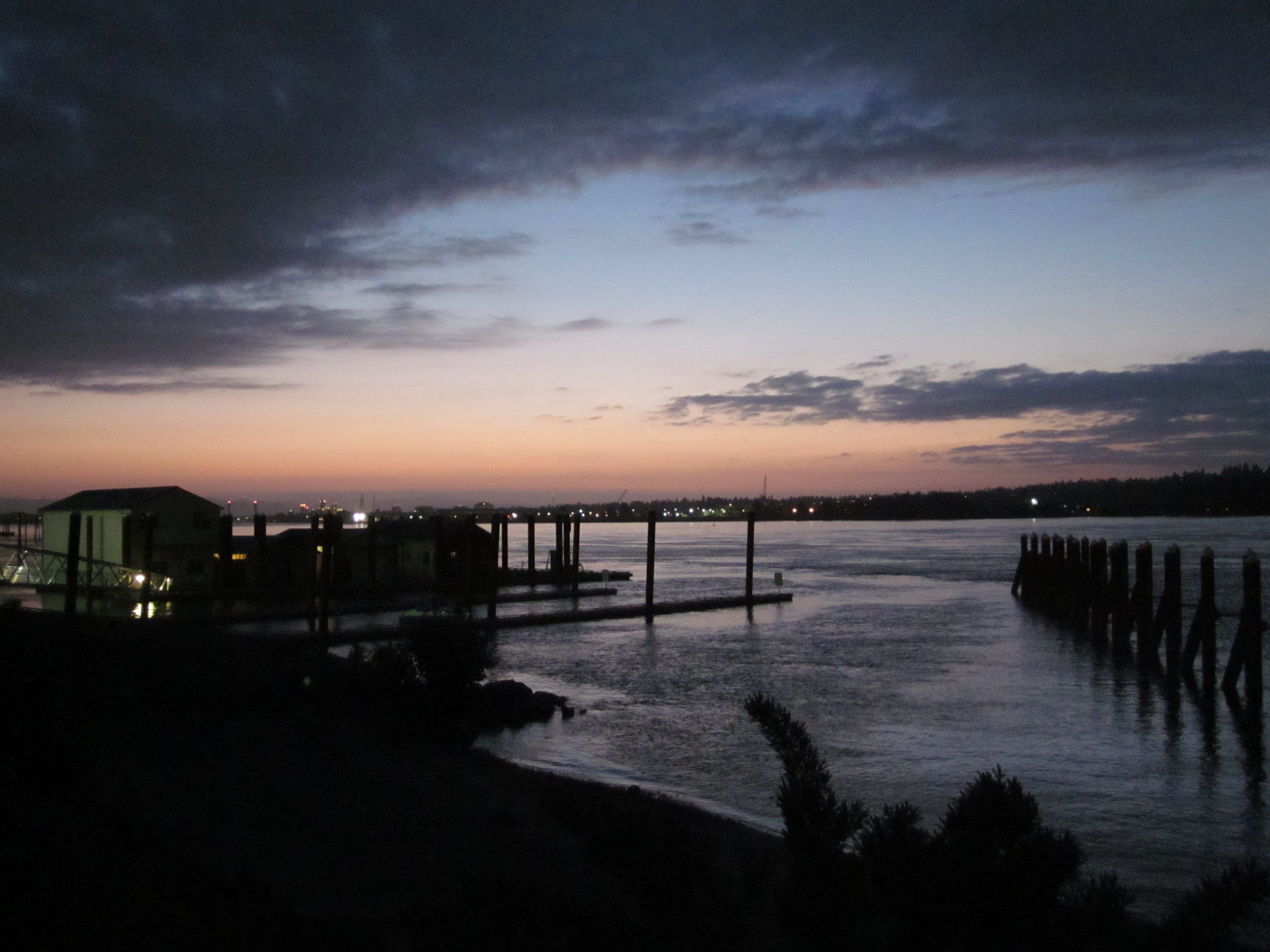
Home Sunset 2
Smith and Bybee lakes
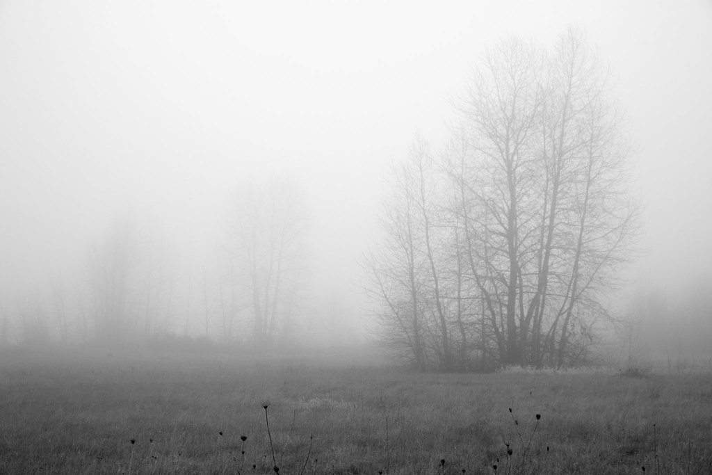
Foggy Night
The view from the MAX Train station. California here we come!
The Interstate 5 Columbia River Crossing at Blue Hour . . . . #interstate5 #columbiarivercrossing #bluehourphotography #portland #travelportland #exploreportland #columbiariver #travelwashington #explorewashington #pacificnorthwest #pnwisbeautiful #pnwond

Meet Tim
GO ~ or ~ how you'll stay with me

Pinhole Panoramic

Almost there. Great views.
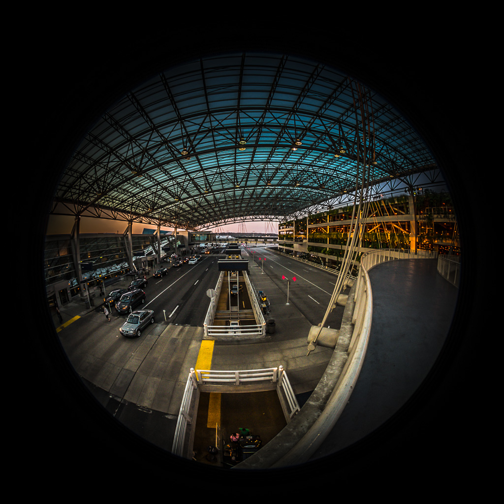
Under the PDX Canopy
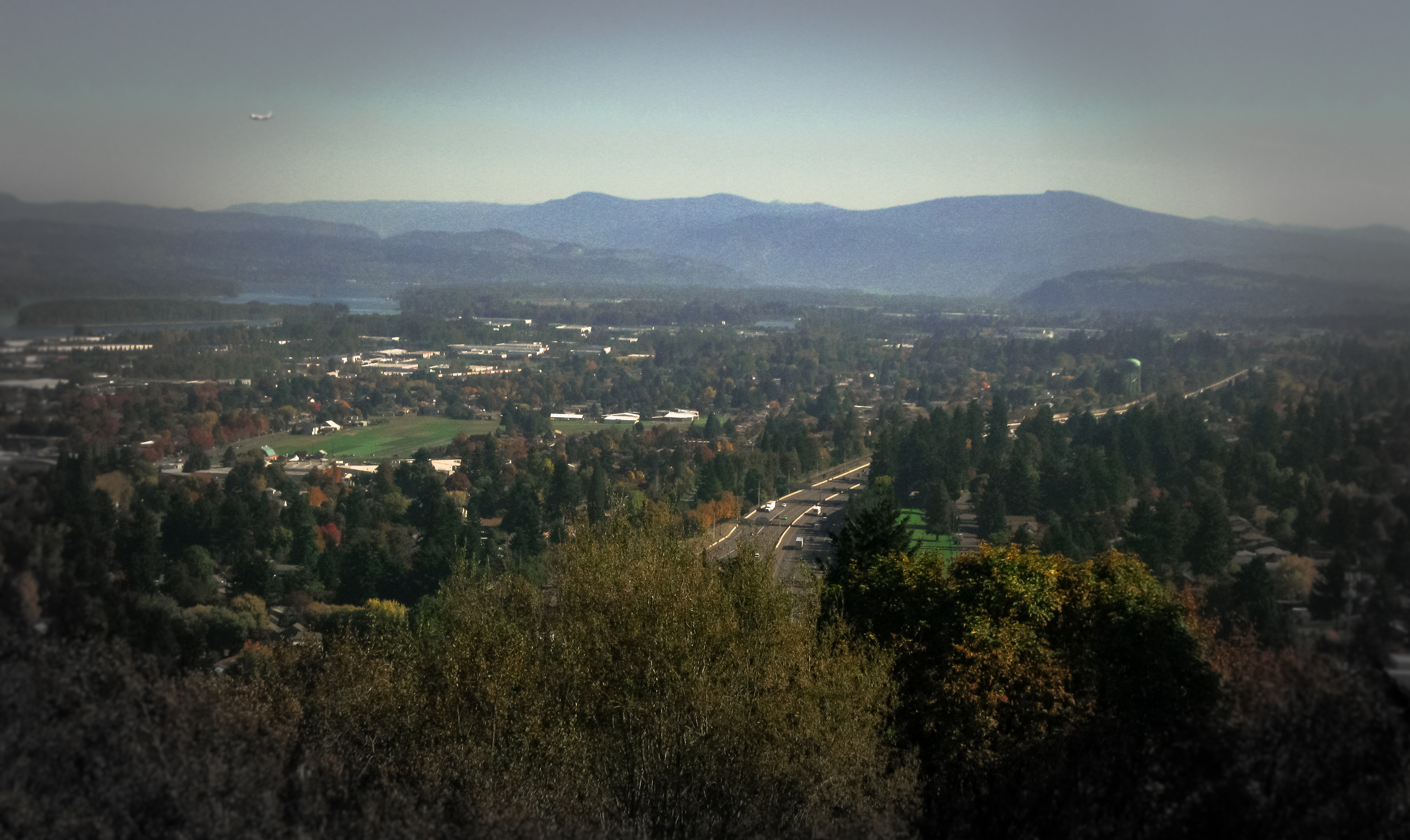
the view
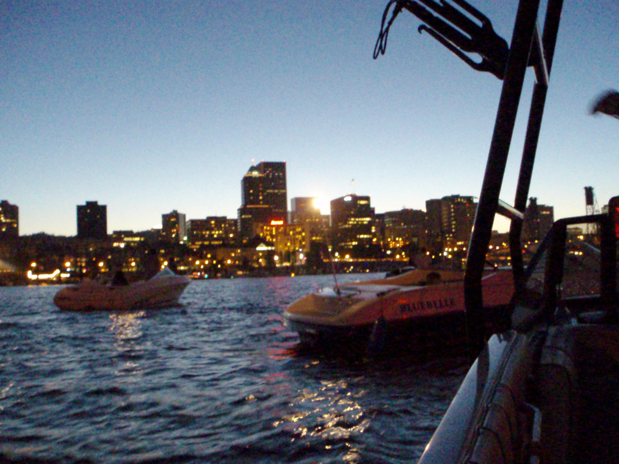
View of Portland from Boat

We got kicked out of Farragut Park by the rangers for being off leash. So we drove out here. Better view.
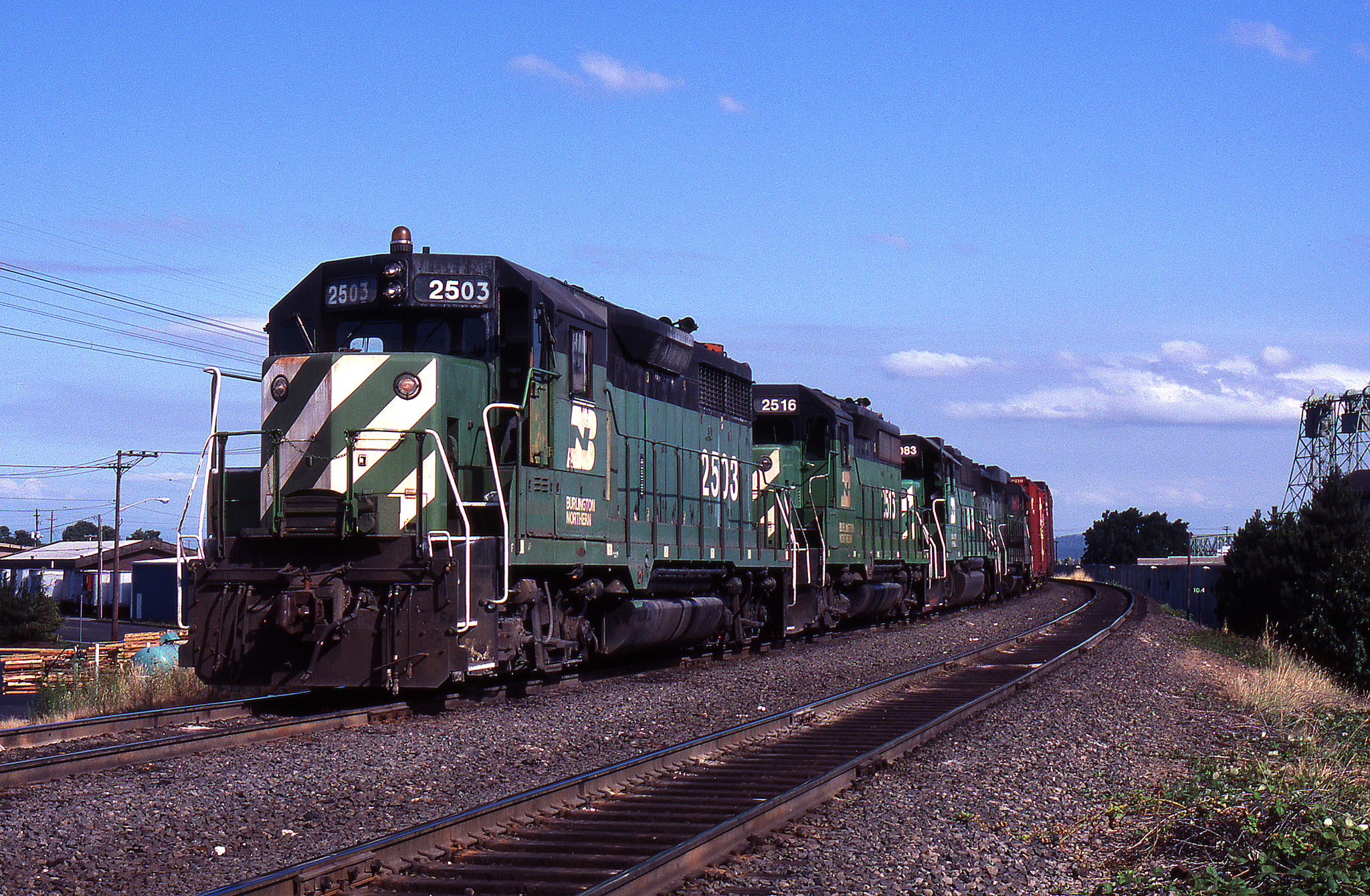
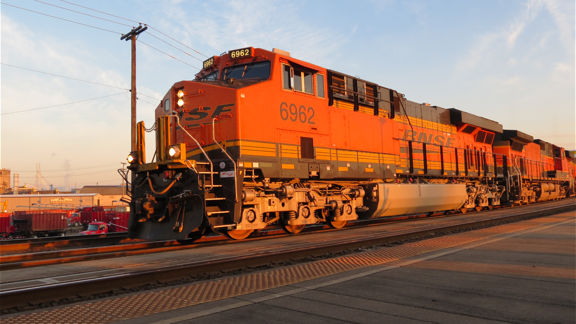
BN #138 @ Vancouver - 2
A Straight-On View

Mt Hood

Colorful Sunset
First light probes the Columbia River crossing

Welcome to the Vineyard
A bridge to nowhere
Hills Of Gold

Flooding by Vancouver Lake
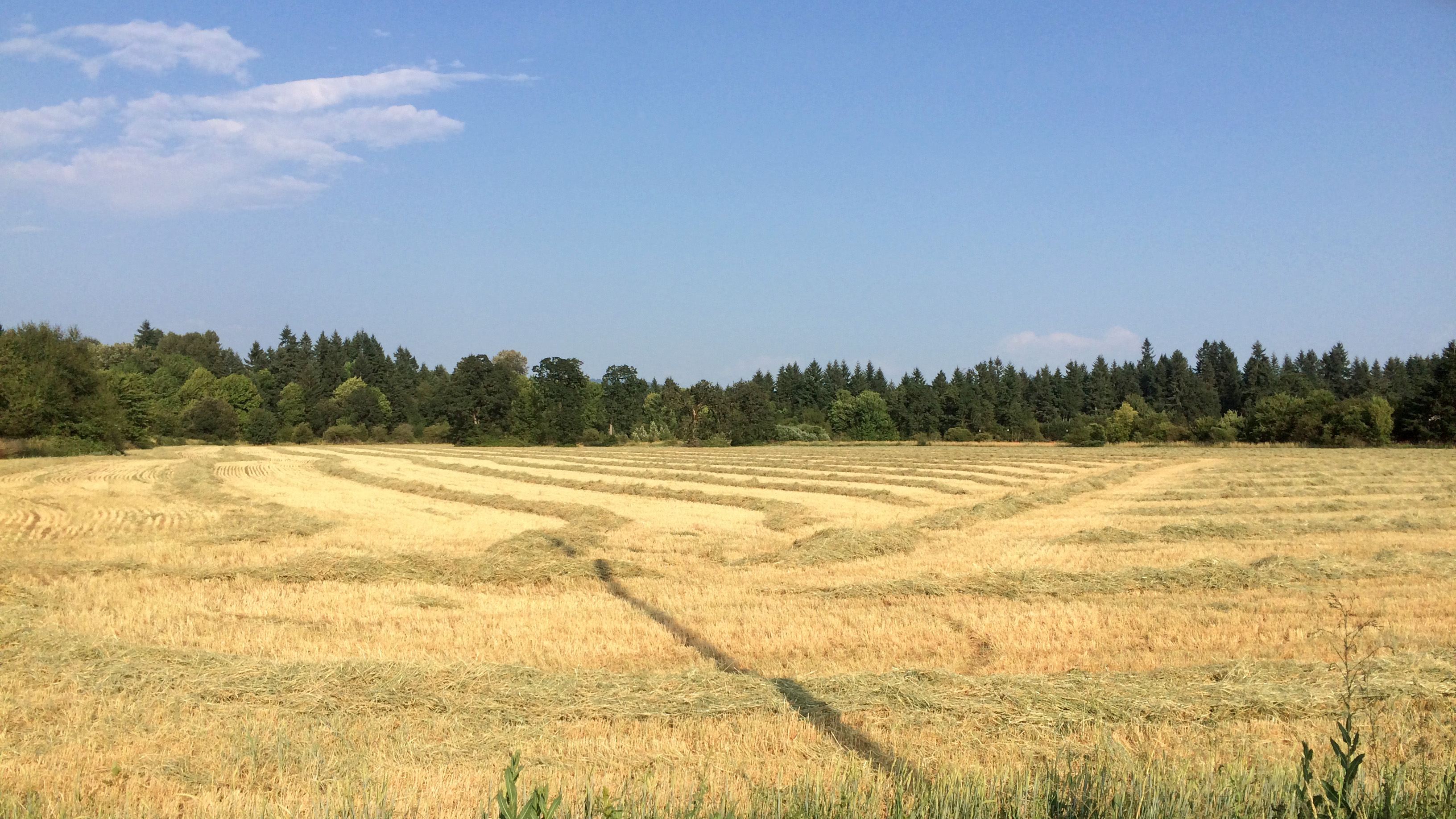
Golden Fields
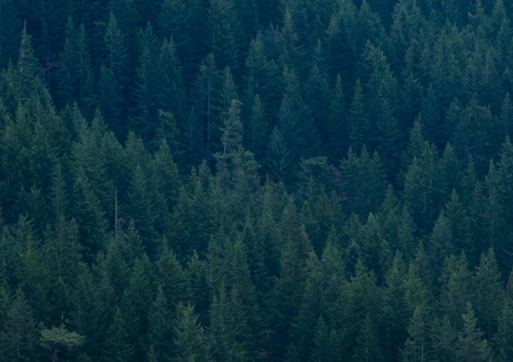
... new growth forest [Try L]
ColumbiaRiver-DC4_0483
Pearson Airfield #sonya6000 #flowers #nature #weaverwrite #beauty #pearsonairport

Hello, #oregon.
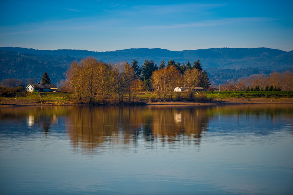
Columbia River
N639CS U.S. Marshals/DOJ Boeing 737-400
#vscocam

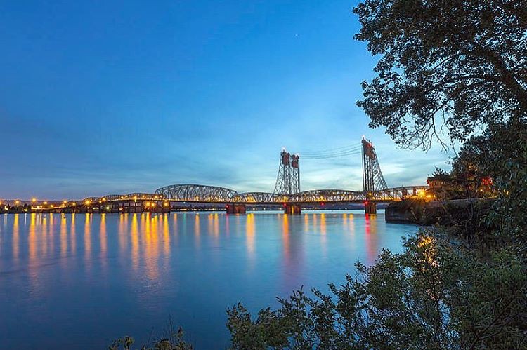
Crossing the Columbia

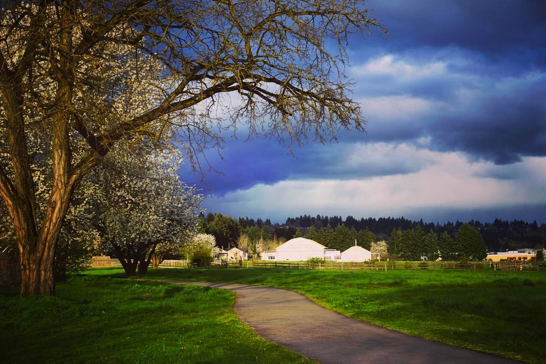
Peaceful surrounds...
Topographic Map of NE th St, Vancouver, WA, USA
Find elevation by address:

Places near NE th St, Vancouver, WA, USA:
10504 Ne 92nd Ave
9200 Ne 91st St
9200 Ne 91st St
9200 Ne 91st St
9200 Ne 91st St
9200 Ne 91st St
8010 Ne 101st Ave
Homan
Vancouver, WA, USA
7510 Ne 104th Ave
Five Corners
9700 Ne 70th St
10404 Ne 67th St
8000 Ne 94th St
10115 Ne 60th St
8208 Ne 63rd St
10455 Ne 53rd St
9008 Ne 54th St
10413 Ne 65th Ave
10015 Ne 64th Ct
Recent Searches:
- Elevation of Congressional Dr, Stevensville, MD, USA
- Elevation of Bellview Rd, McLean, VA, USA
- Elevation of Stage Island Rd, Chatham, MA, USA
- Elevation of Shibuya Scramble Crossing, 21 Udagawacho, Shibuya City, Tokyo -, Japan
- Elevation of Jadagoniai, Kaunas District Municipality, Lithuania
- Elevation of Pagonija rock, Kranto 7-oji g. 8"N, Kaunas, Lithuania
- Elevation of Co Rd 87, Jamestown, CO, USA
- Elevation of Tenjo, Cundinamarca, Colombia
- Elevation of Côte-des-Neiges, Montreal, QC H4A 3J6, Canada
- Elevation of Bobcat Dr, Helena, MT, USA