Elevation of NE th Ave, Brush Prairie, WA, USA
Location: United States > Washington > Clark County > Brush Prairie >
Longitude: -122.42164
Latitude: 45.7128045
Elevation: 306m / 1004feet
Barometric Pressure: 98KPa
Elevation Map:
Satellite Map:
Related Photos:
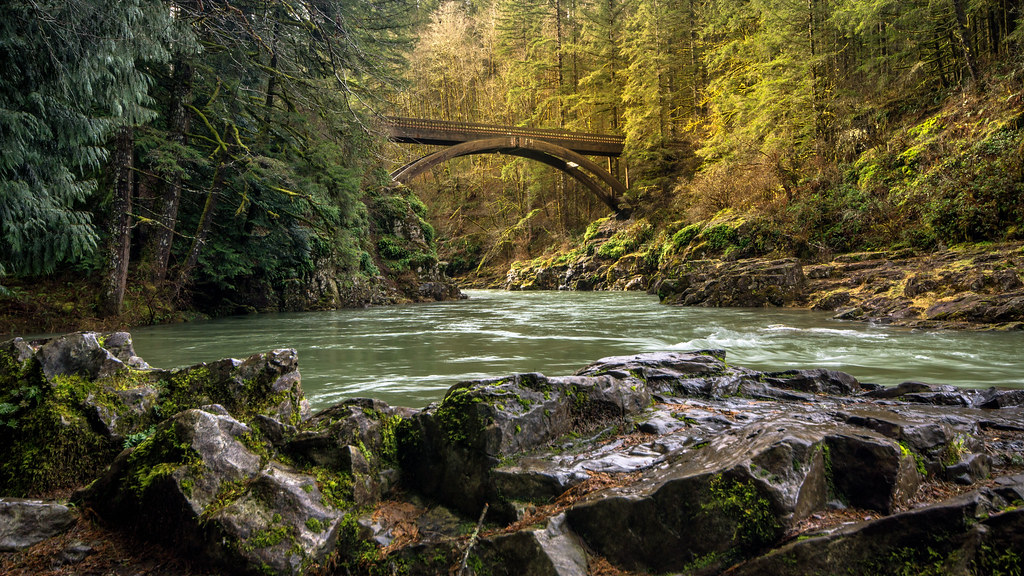
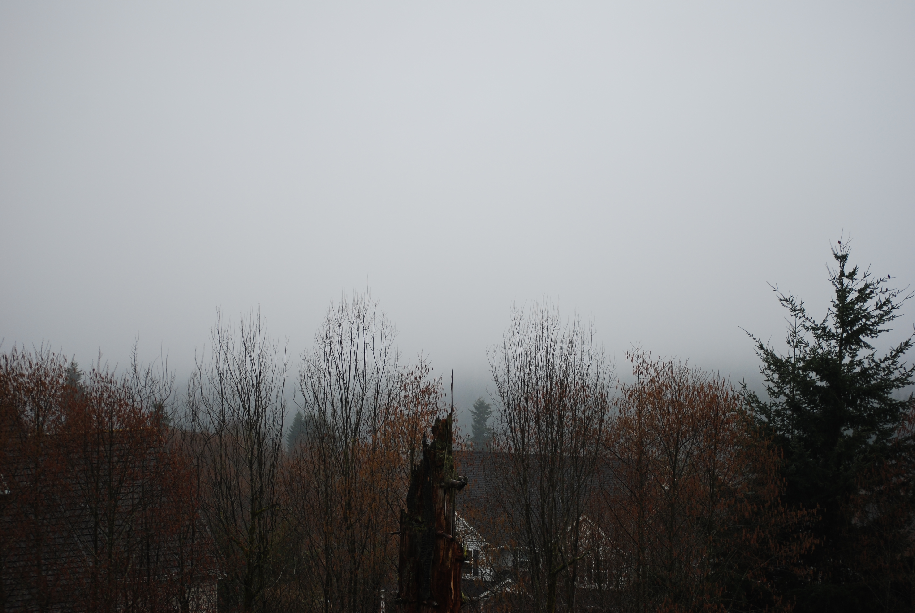
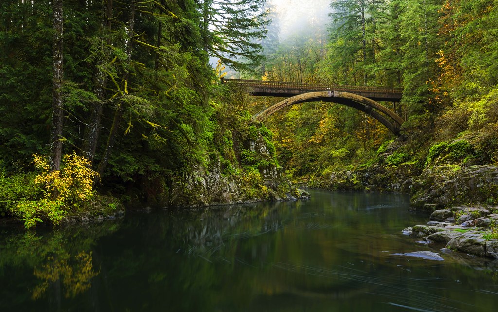
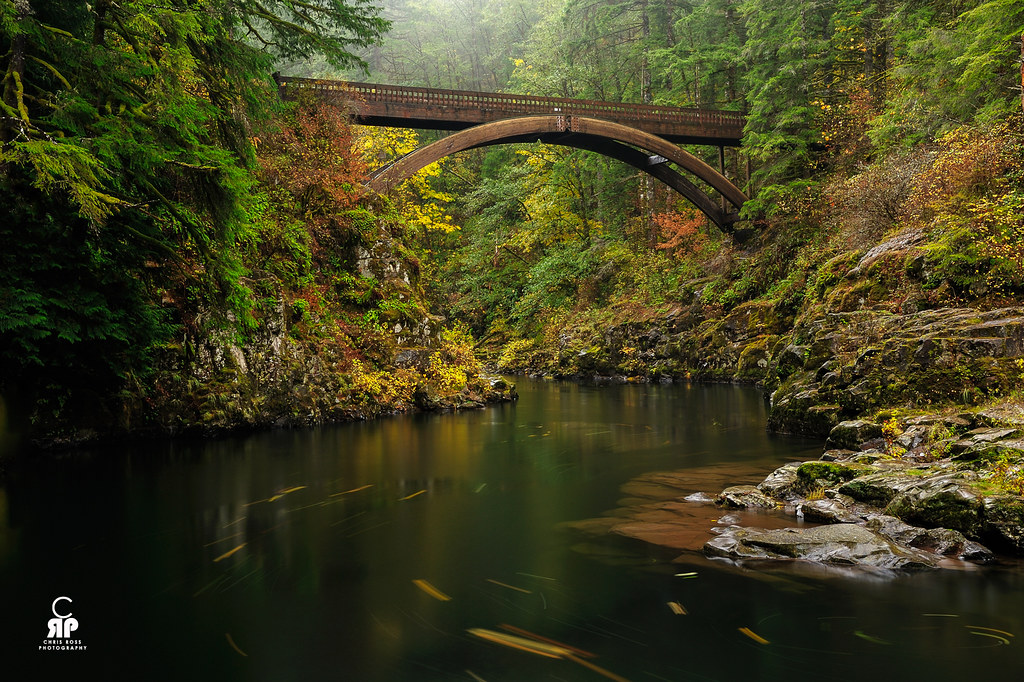
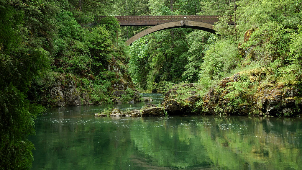
Moulton Falls Bridge

Gorge from a Distance
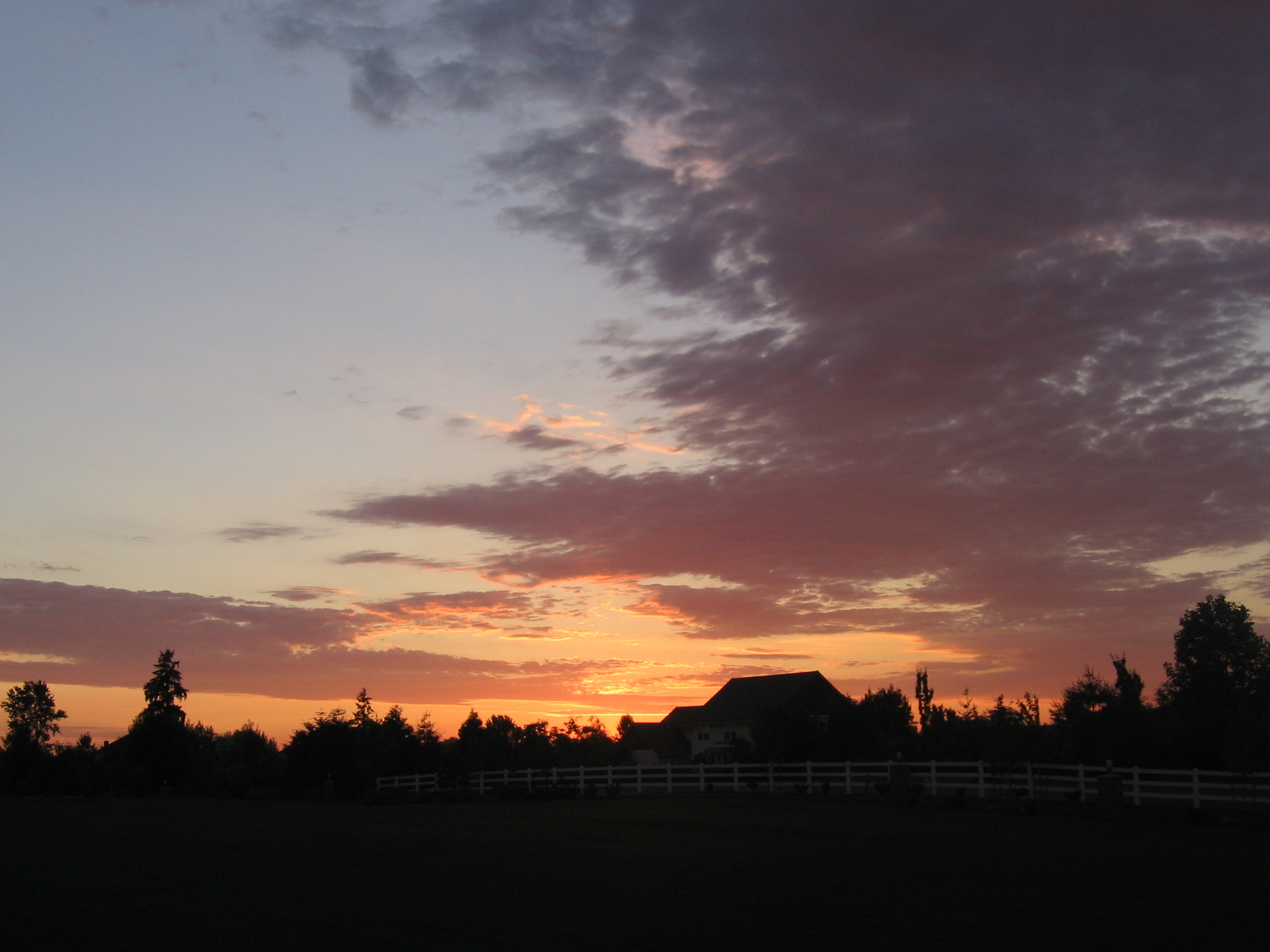
Home Sunset 2

Battle Ground Lake.

Woodburn Falls

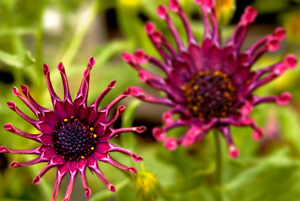
Lilies In The Wind
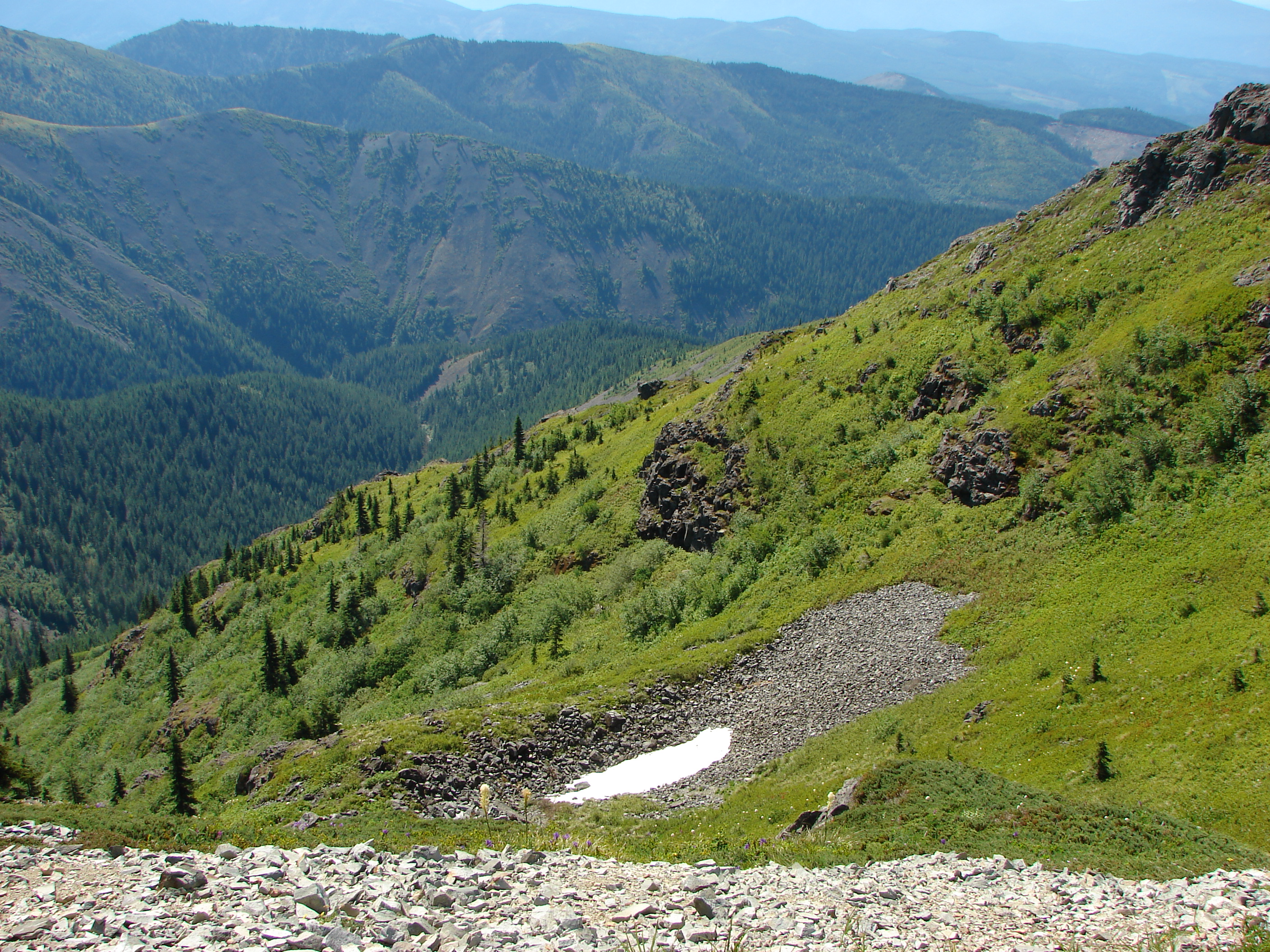
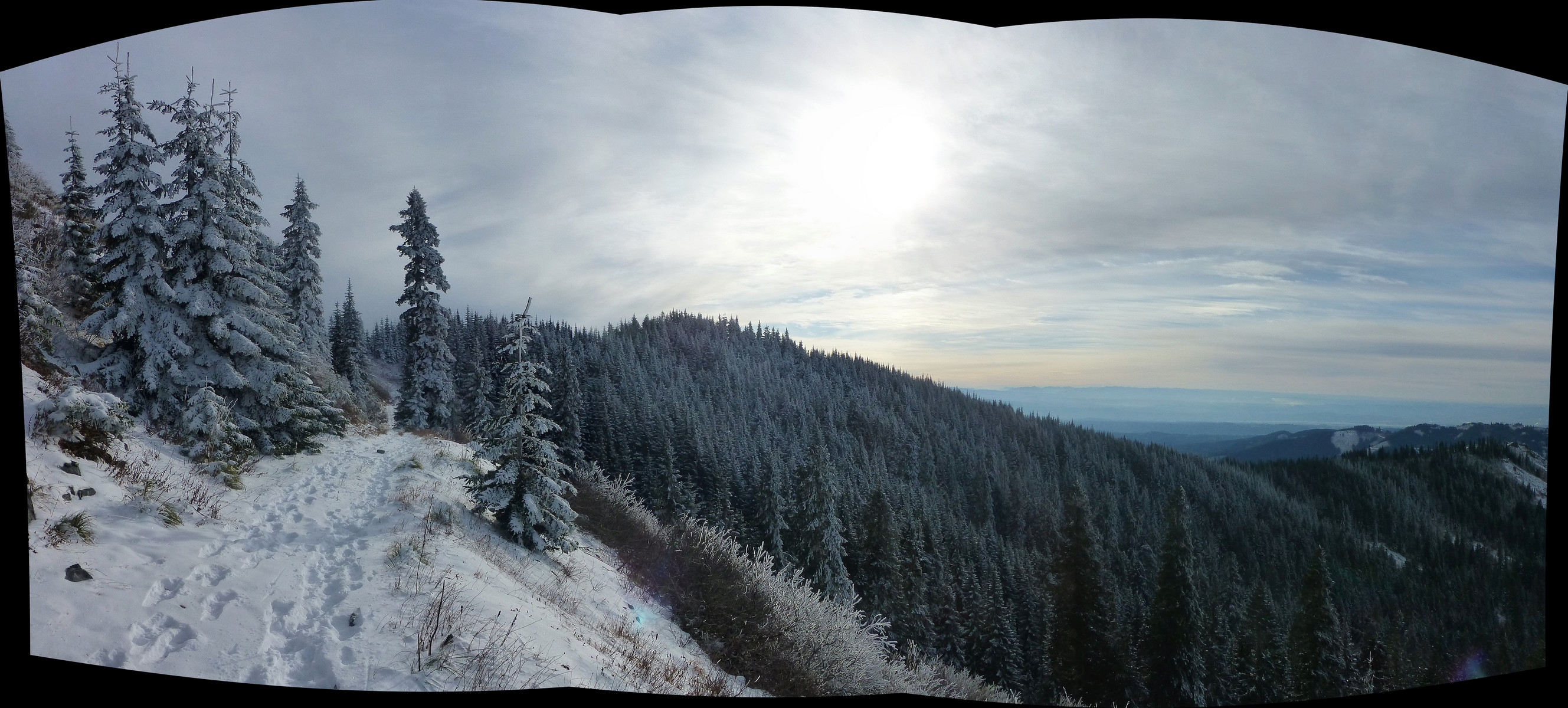
180°-plus view, sweeping from Silver Star's main summit in the north to the Indian Pits on the south ridge. Next destination will be Little Baldy, about 2/3 across the shot.
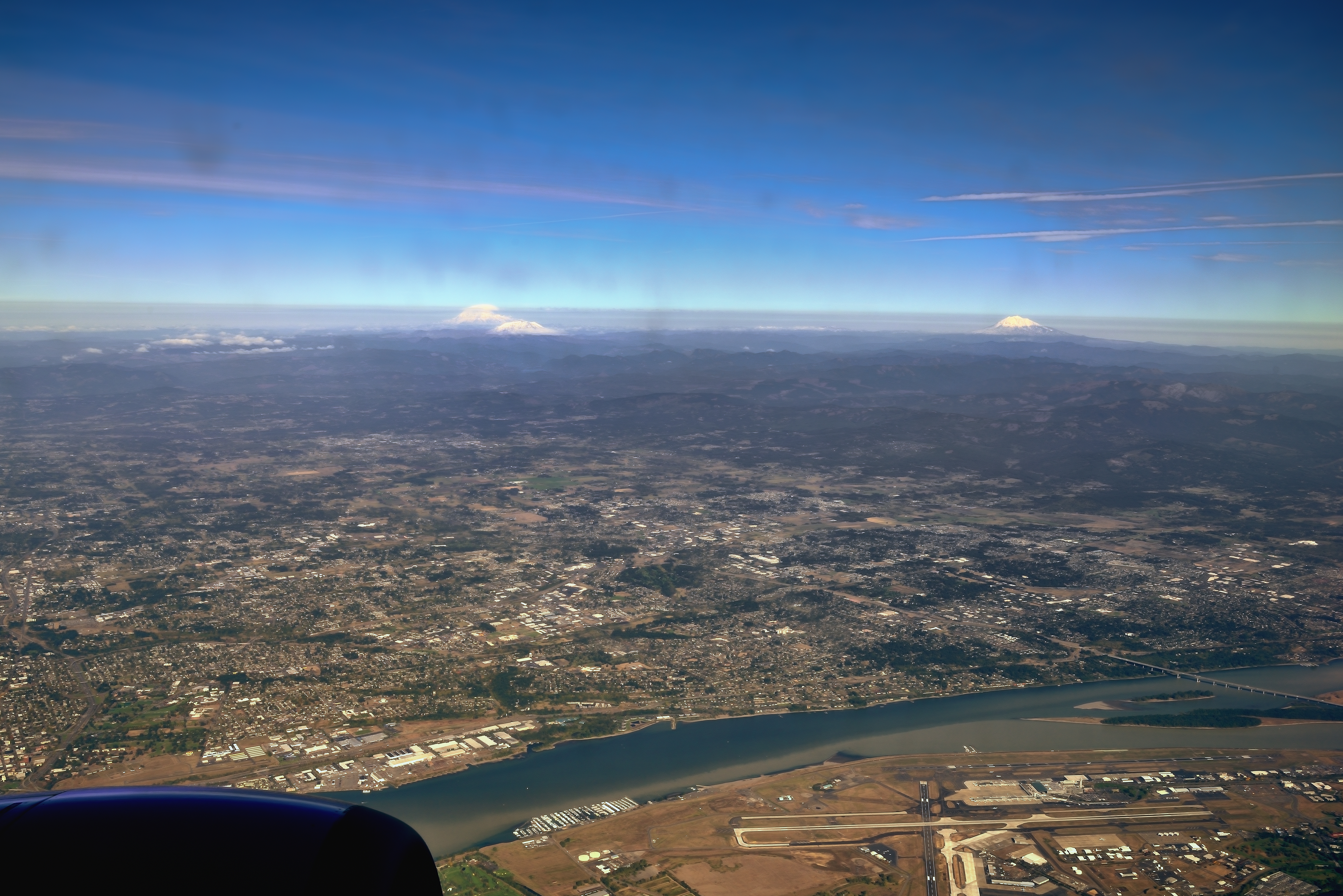
The Columbia River, an Airport and a Few Stratovolcanoes
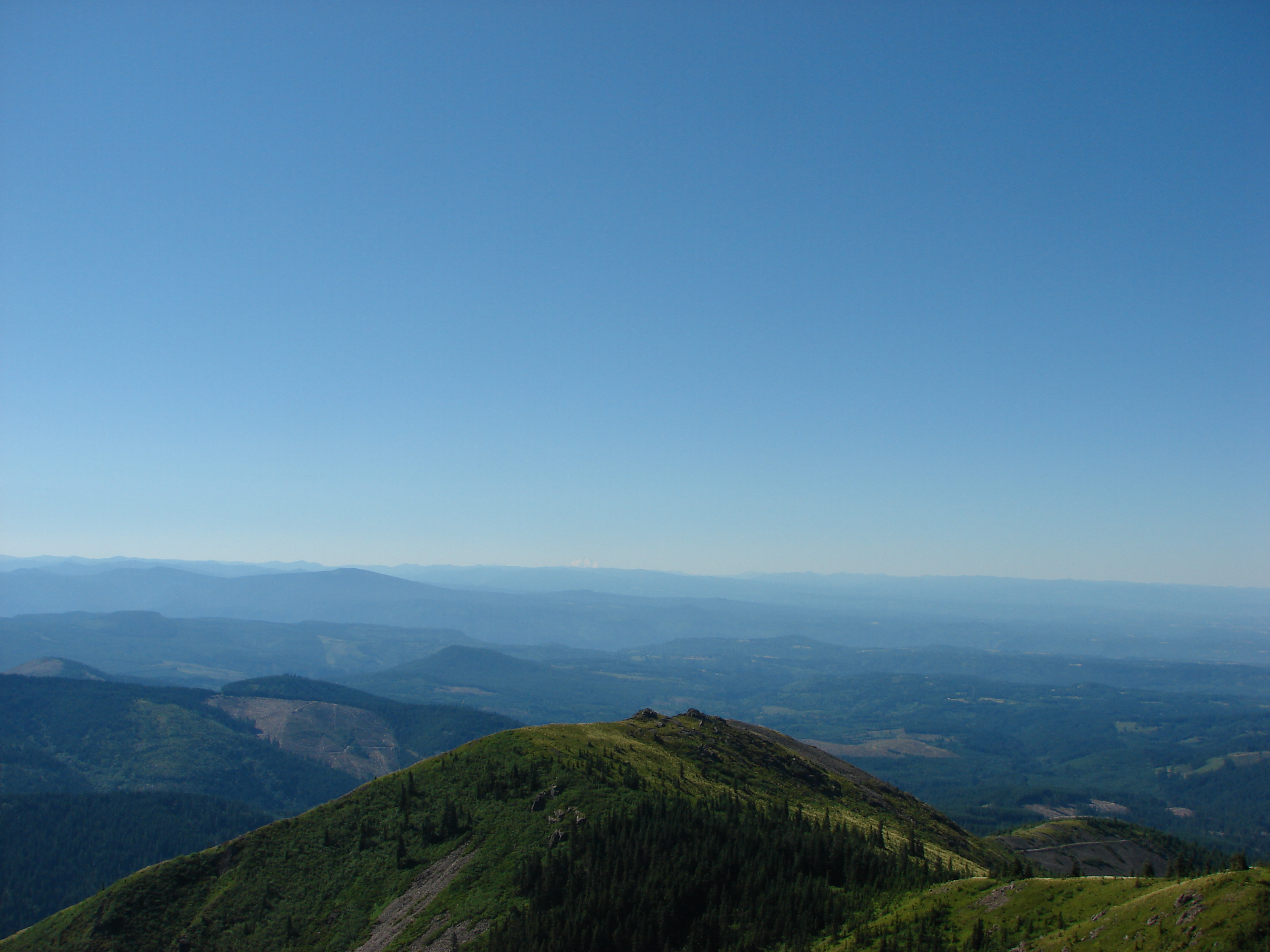
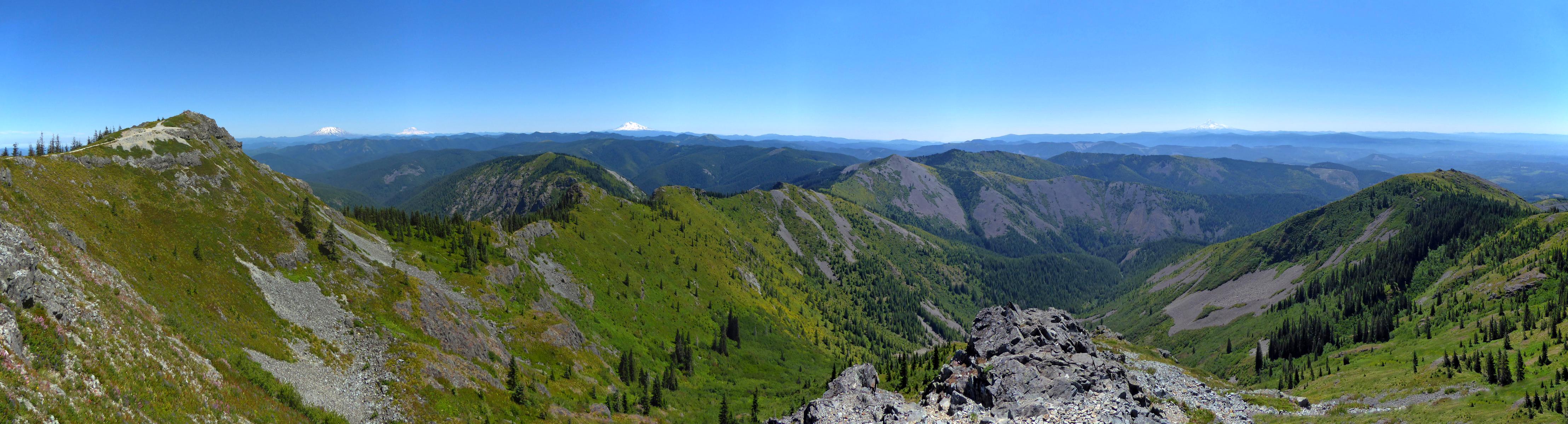
View from Silver Star Mountain
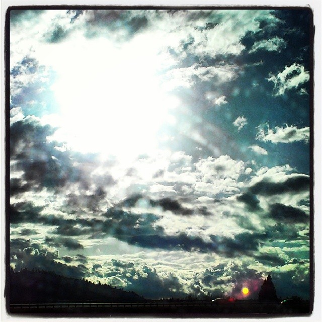
Clouds gathering & parting as the day passes by my window on the way to Camas, Washington. #washington #Camas #oregon #cloudstagram #cloudy #cloudporn #rsa_sky #rsa_nature #rsa_ladies #rsa_cloudchasers #sky #love #allshots_ #bluesky #spring #view #driving
Tell Me.
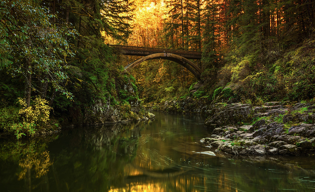
Moulton Falls State Park in Autumn (Yacolt, WA)

View from Ed' Trail
86/365 - Mar 28th, 2009 - Portland View
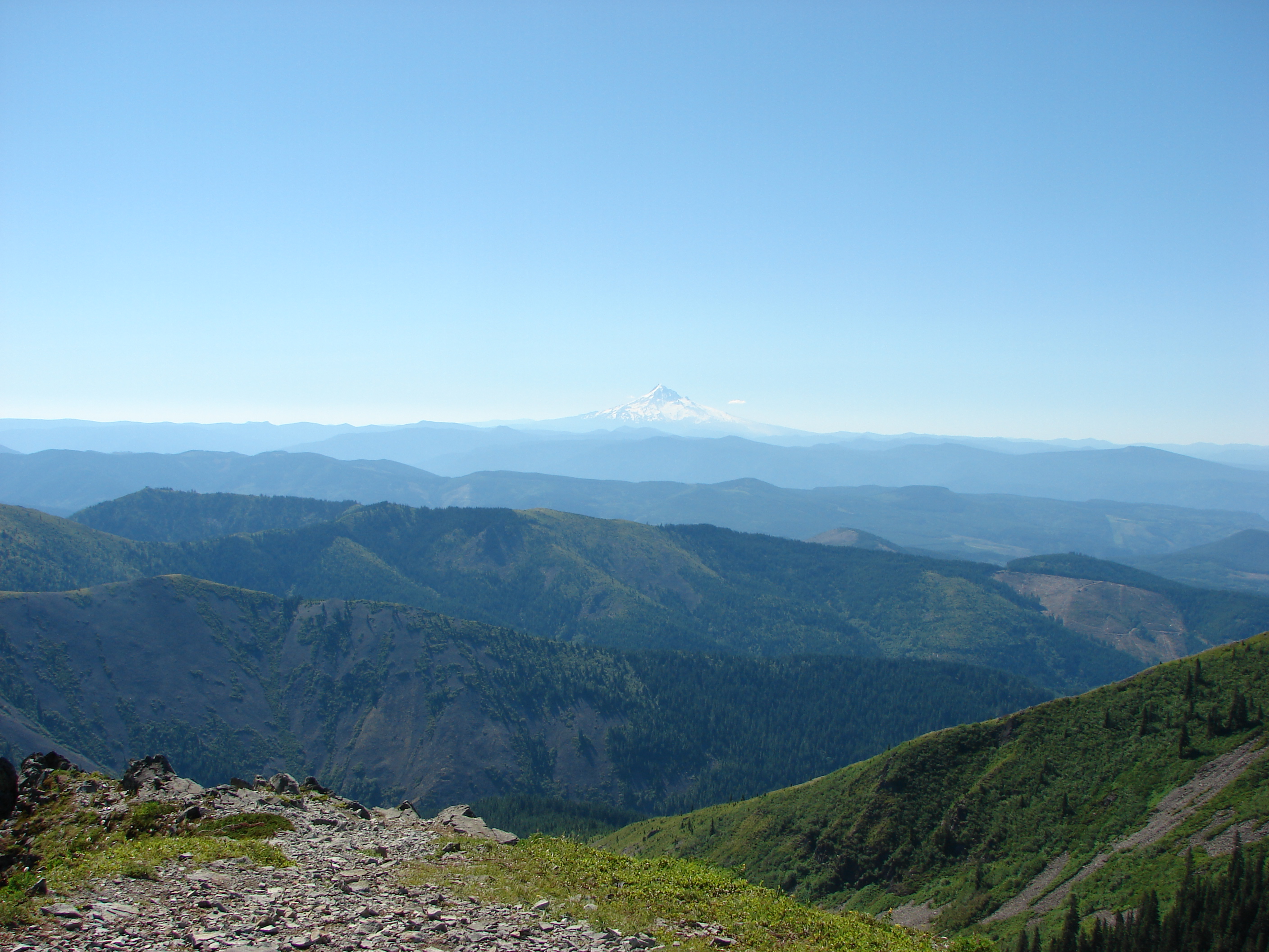
View from Silver Star Mountain
View from Silver Star Mountain
90/365 - April 1st,2009 - Portland View

LACAMAS HERITAGE TRAIL Collage
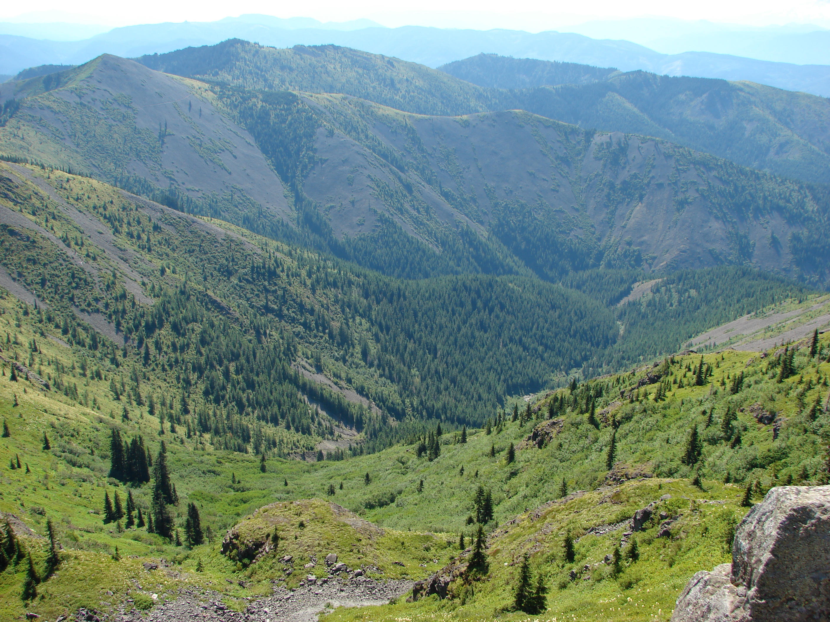
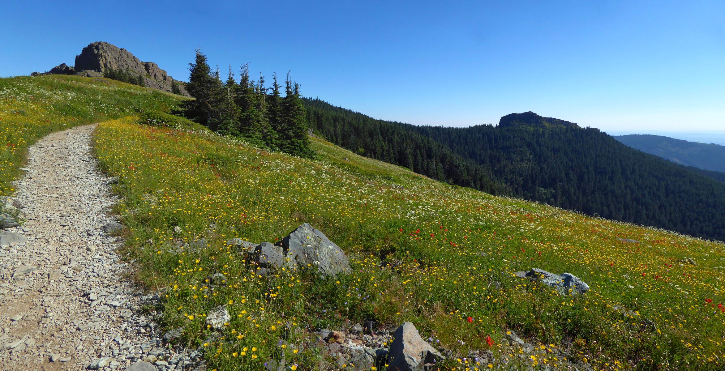
Just a really nice stretch of trail, with sweeping views to the south, on the way up Silver Star.
View from Silver Star Mountain

Looking north and south, a 180°-plus view, from our first break spot.
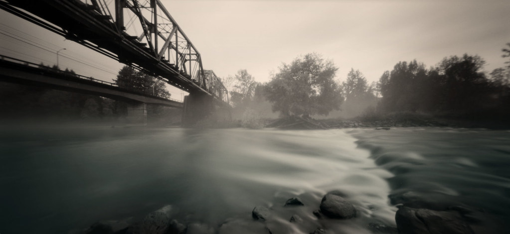
pinhole 926, river
#vscocam
Fall Colors in Moulton Falls Park (Yakolt, WA)
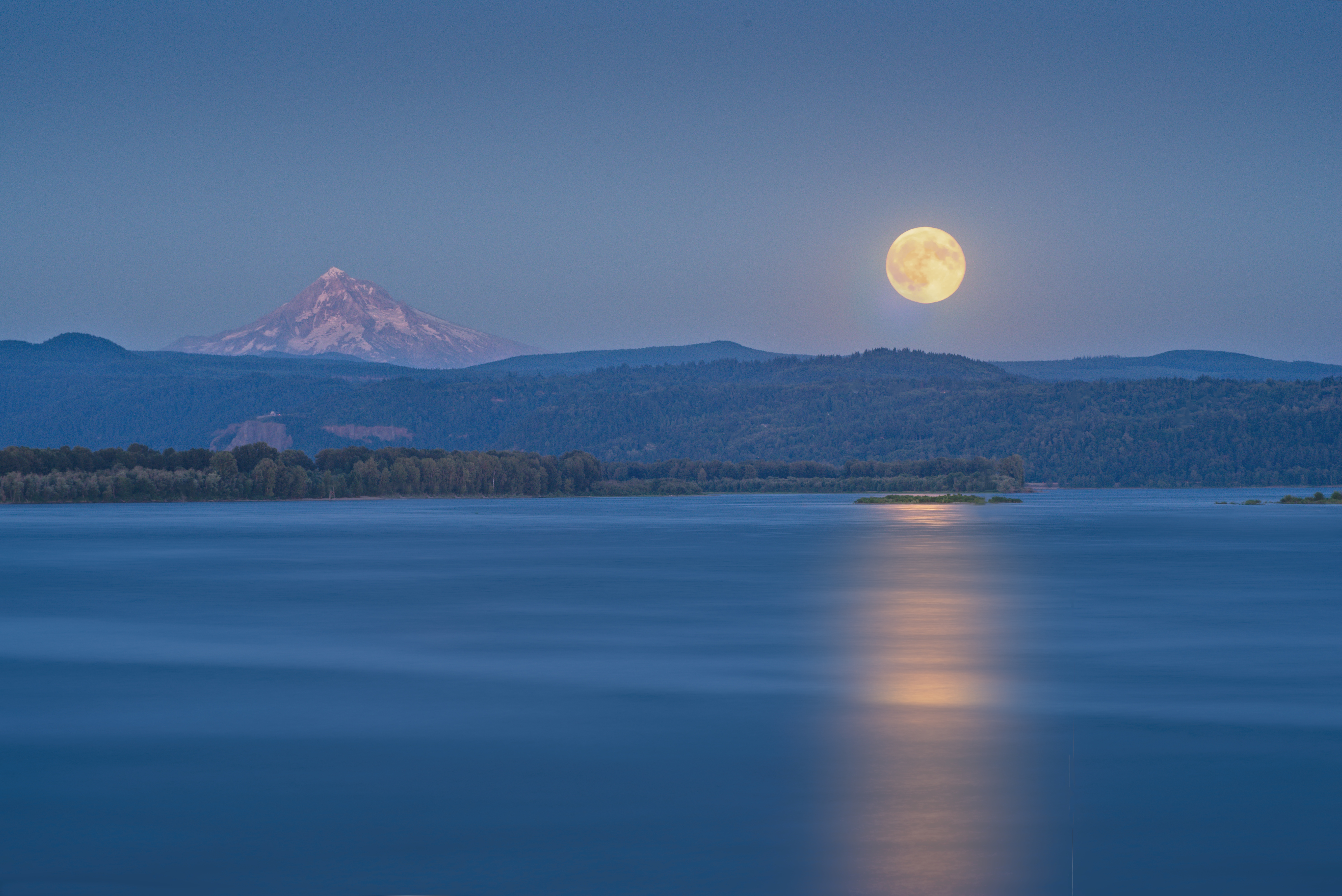
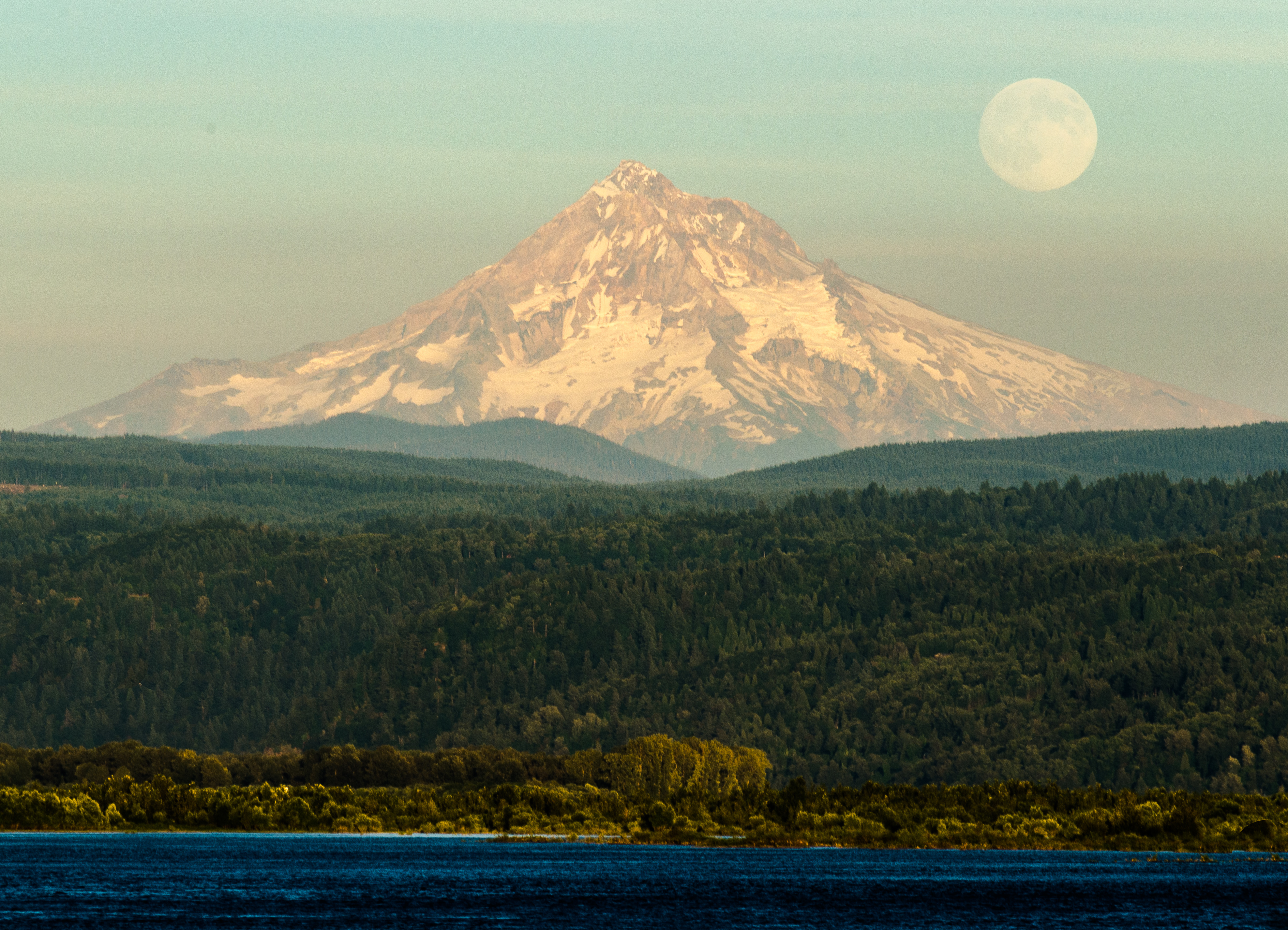
Moonrise Columbia River 307 D
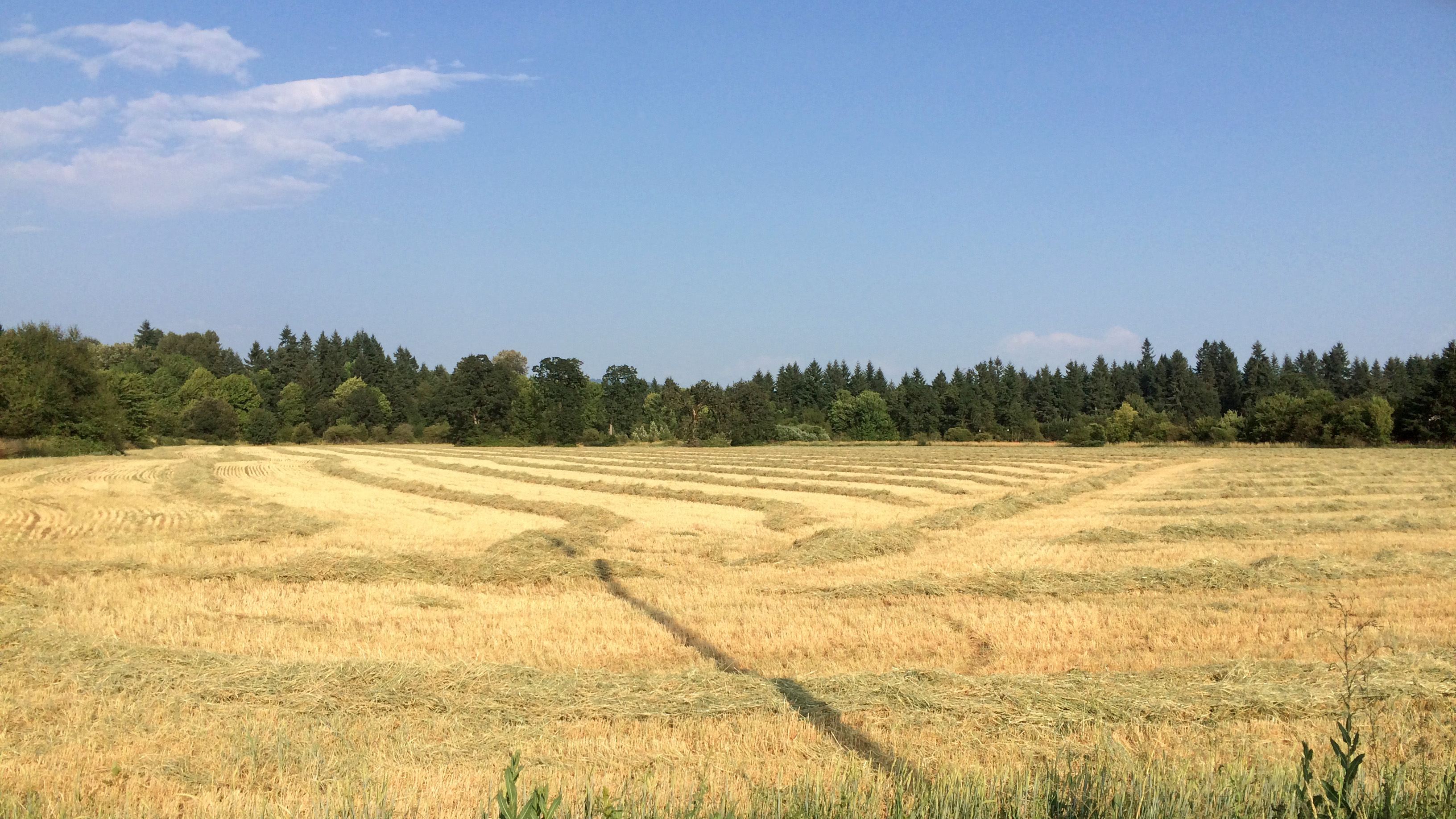
Golden Fields
Through the looking glass
Drizzle Delight (Explored)
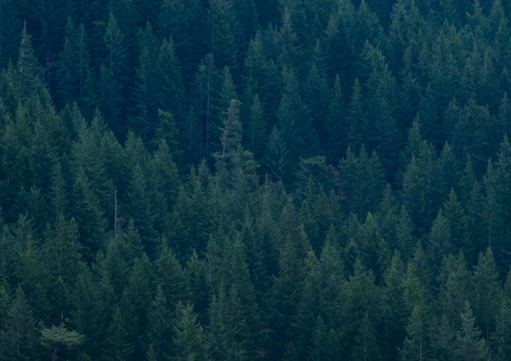
... new growth forest [Try L]
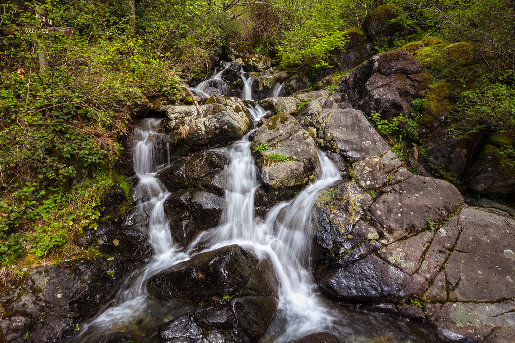
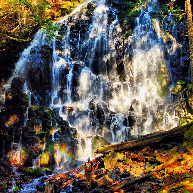
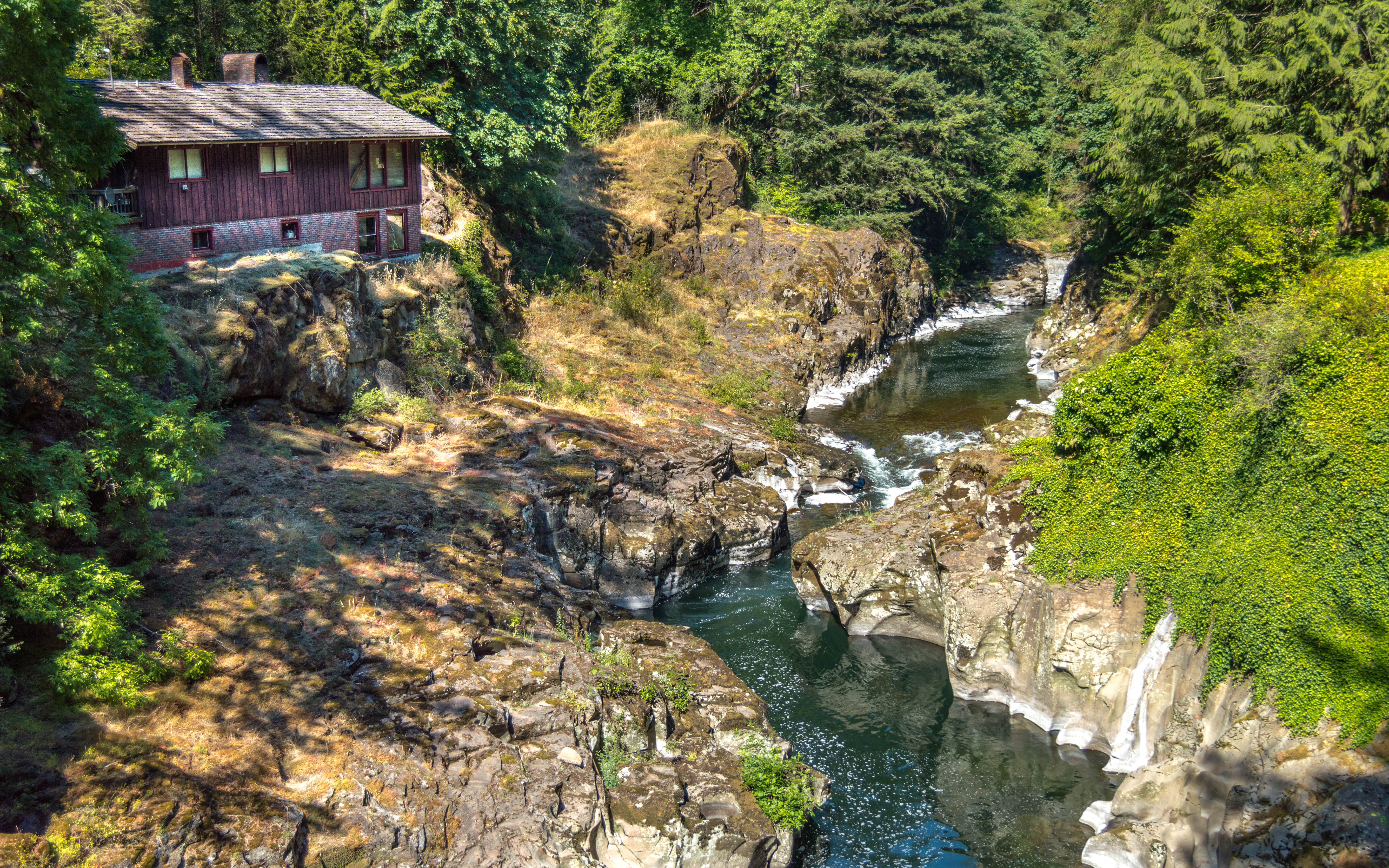
Rock Creek Falls

Lovely #scenery on our day trip to #Washington today. Q loved splashing around in the #water and finding #waterfalls . #summer #summertime
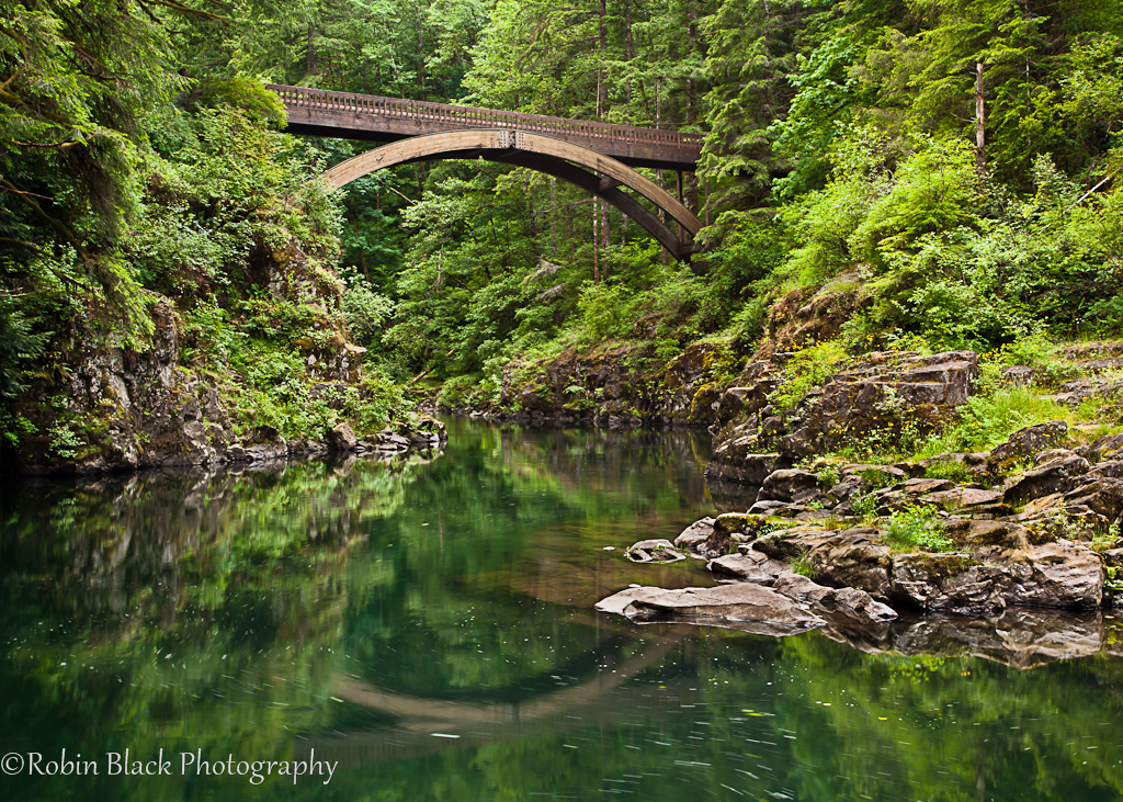
Footbridge, Moulton Falls State Park (WA)
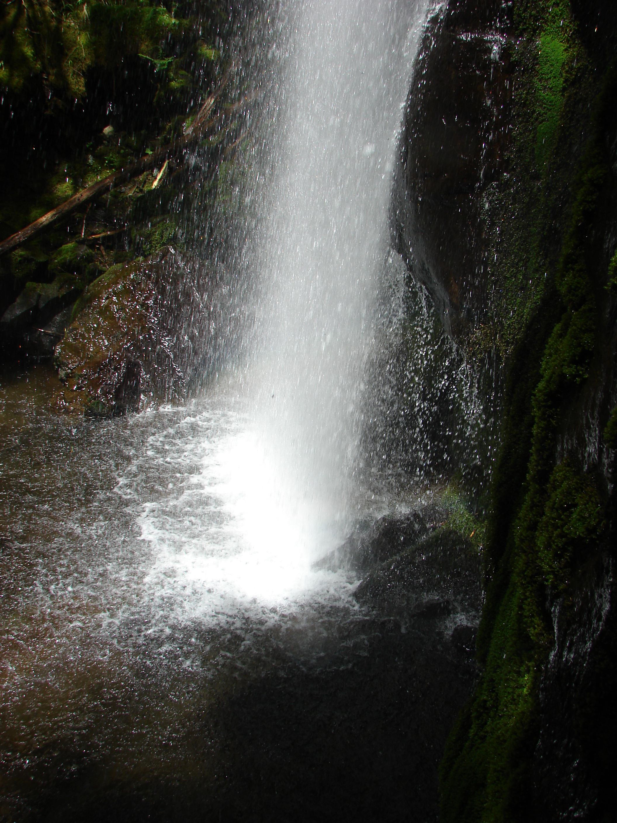
Hidden Falls
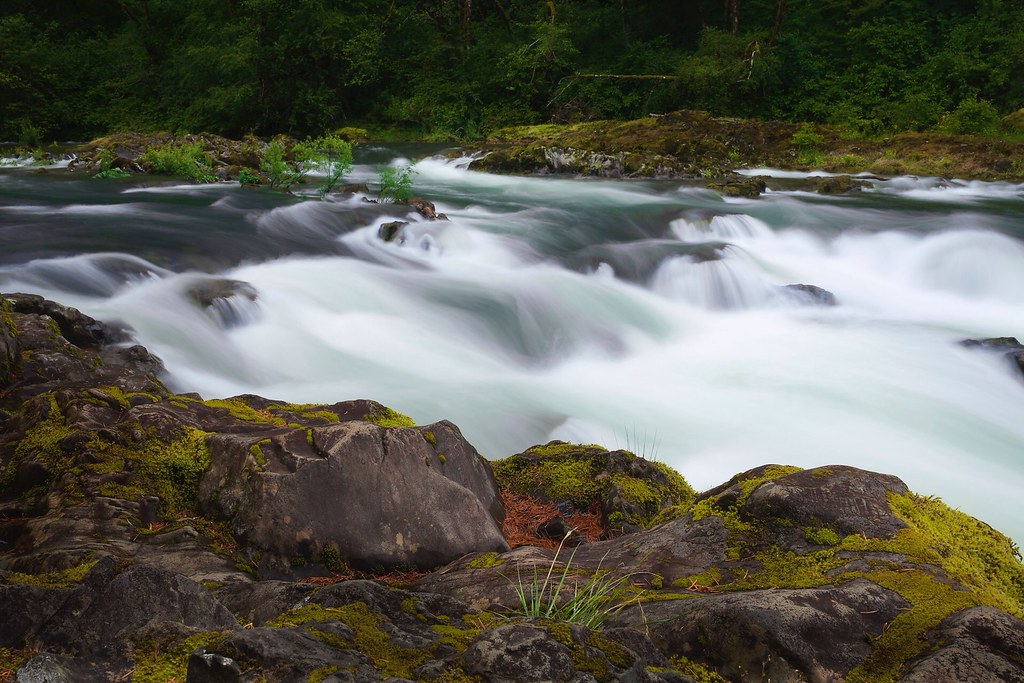
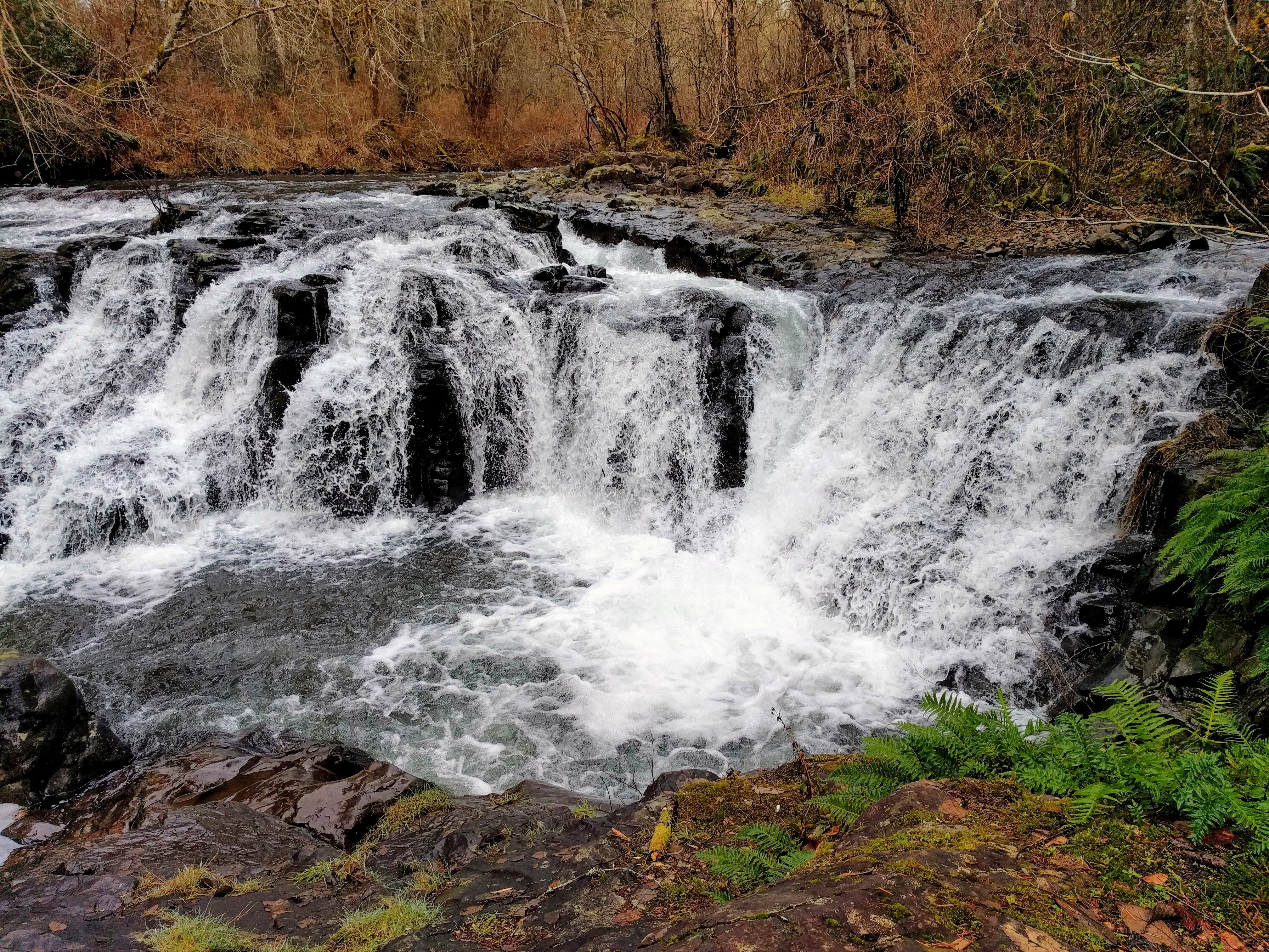
Rushing water / Moulton falls State Park
I've come to call this feature "The Prow" as it resembles the front end of a battleship while you're walking up the ridge.

Tarabell Trail
Bridge Over Lewis River
Super Sight

#washington #trb_members1 #wander_washington #pnw #pnwview #pnwvibe #jj_westcoast #westcoast_exposures #drivebyshooting #cascadiaexplored #PacificStates #pacificnorthwest #upperleftusa #ig_unitedstates_ #bestofnorthwest #theoutbound #theworld_thru_youre
Moulton falls
Topographic Map of NE th Ave, Brush Prairie, WA, USA
Find elevation by address:

Places near NE th Ave, Brush Prairie, WA, USA:
12500 Ne 245th Ave
12407 Ne 245th Ave
12700 Ne 245th Ave
12700 Ne 245th Ave
24303 Ne 124th Cir
12000 Ne 245th Ct
13703 Ne 240th Ave
23103 Ne 134th Cir
13606 Ne Powell Rd
25303 Ne 151st St
24818 Ne 153rd St
13717 Ne 223rd Ct
Northeast 265th Court
21901 Ne 124th Cir
15009 Ne Winsor Dr
23400 Ne 169th St
15205 Ne 212th Ave
15605 Ne 212th Ave
13808 Ne 178th St
18245 Ne 232nd Ave
Recent Searches:
- Elevation of 30 Oak Lawn Dr, Barkhamsted, CT, USA
- Elevation of Luther Road, Luther Rd, Auburn, CA, USA
- Elevation of Unnamed Road, Respublika Severnaya Osetiya — Alaniya, Russia
- Elevation of Verkhny Fiagdon, North Ossetia–Alania Republic, Russia
- Elevation of F. Viola Hiway, San Rafael, Bulacan, Philippines
- Elevation of Herbage Dr, Gulfport, MS, USA
- Elevation of Lilac Cir, Haldimand, ON N3W 2G9, Canada
- Elevation of Harrod Branch Road, Harrod Branch Rd, Kentucky, USA
- Elevation of Wyndham Grand Barbados Sam Lords Castle All Inclusive Resort, End of Belair Road, Long Bay, Bridgetown Barbados
- Elevation of Iga Trl, Maggie Valley, NC, USA