Elevation of NE Coho Ct, Wood Village, OR, USA
Location: United States > Oregon > Multnomah County > Wood Village >
Longitude: -122.42700
Latitude: 45.5331605
Elevation: -10000m / -32808feet
Barometric Pressure: 295KPa
Elevation Map:
Satellite Map:
Related Photos:
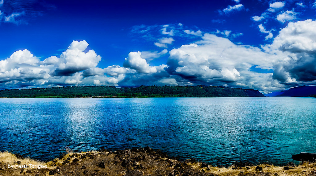
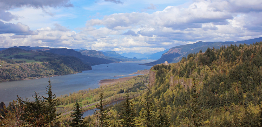
View of Columbia River Near Portland OR USA-5a
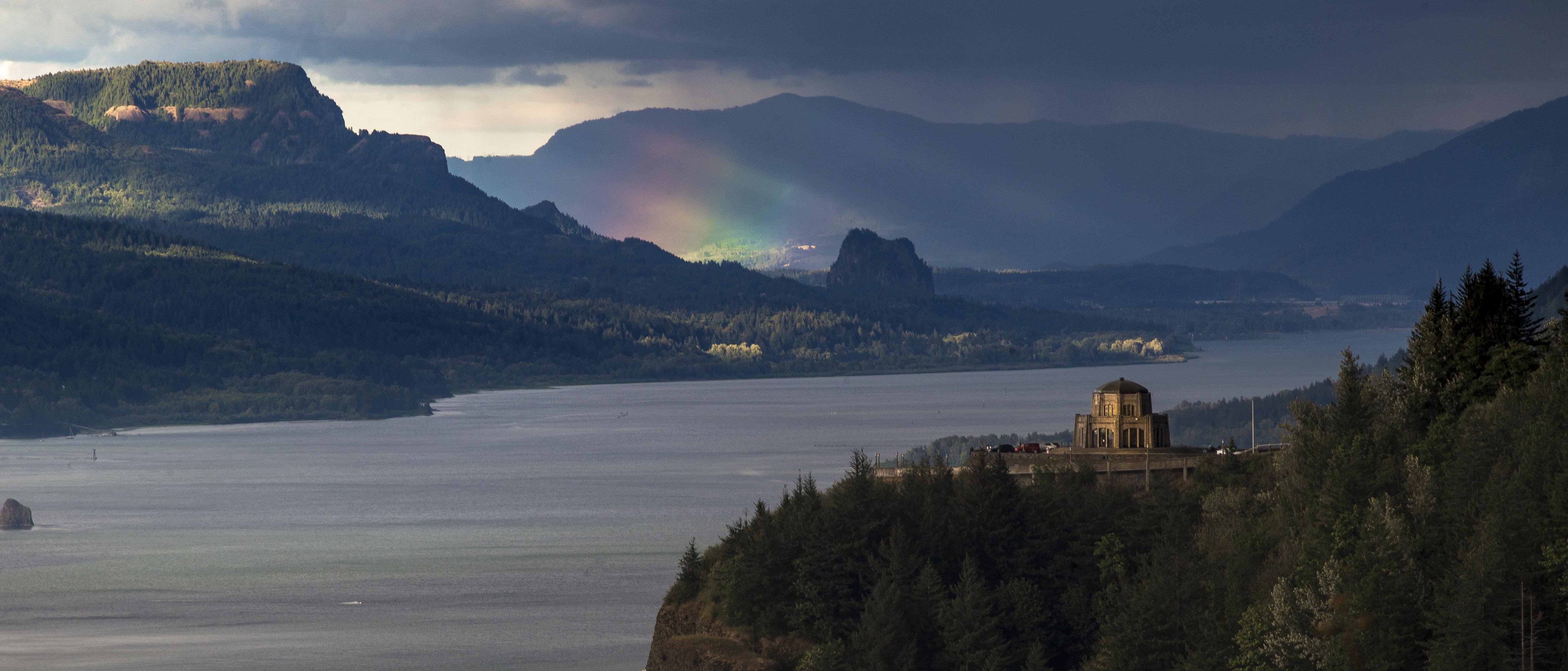
Rainbow in the Columbia River Gorge

The Columbia Gorge from Crown Point, Dec 2019

Rainy Day over the Columbia River Near Portland OR USA-7a

Rainy Day Looking Towards Latourell Fall Near Portland OR USA-6a (in Explore)

Vista House ~Oregon State ~ Columbia Gorge ~ My Old Photo

When ambition ends, happiness begins…

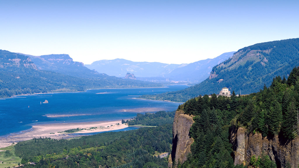
The Vista House
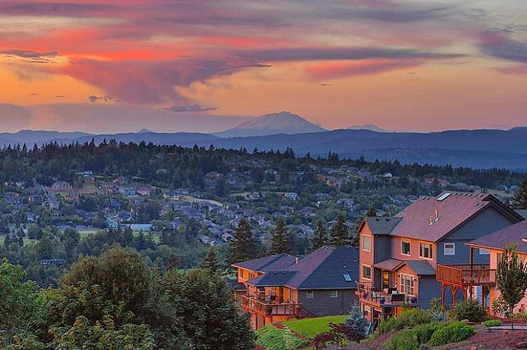
The happy colors of sunset in Happy Valley. Must be a happy place to live. But happy just to be there, even for a moment. . . . . . #photooftheday #happyvalley #sunset_ig #jj_oregon #jj_westcoast #pnw #traveloregon #exploreoregon #happyvalleyoregon #sunse

Vista House ~Oregon State ~ Columbia Gorge ~ My Old Photo

Columbia River and Sand Island

Columbia River Sunset

Views of the Columbia River at Chanticleer Point

balancing act

From Near to Far While Taking in the Gorge

Vista House View - Historic Columbia River Highway in Autumn

Hillside After Hillside...

Views of the Columbia River at Chanticleer Point (Black & White)

Just living is not enough... one must have sunshine, freedom, and a little flower…
Looking west for Portland from Crown Point

Recognize this?
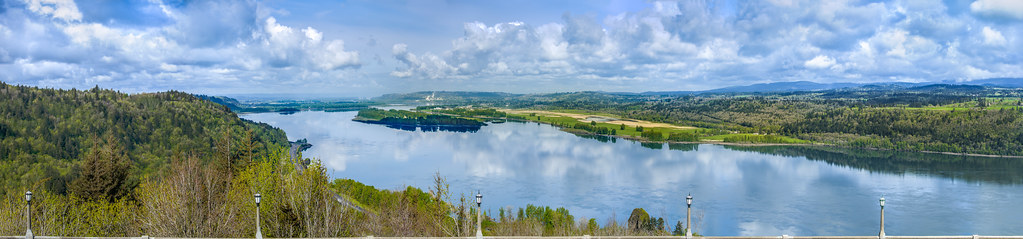
Columbia River Gorge

Columbia River Gorge

Winter Latourell Falls
Columbia River

Washougal, Washington

Luckdragon at Upper Latourell

Washougal, Washington

Columbia River Gorge

Top Of The World

Upper Latourell Green

Snow-capped moon-rise
Topographic Map of NE Coho Ct, Wood Village, OR, USA
Find elevation by address:

Places near NE Coho Ct, Wood Village, OR, USA:
Northeast Coho Court
NE Fairview Ave, Fairview, OR, USA
Wood Village
Fairview
23740 Ne Holladay St
102 Cedar Ln
15 Depot St
833 Ne 239th Pl
55 Depot St
1341 Ne Park Ln
2137 Sw Sturges Ln
Mcmenamins Edgefield
2126 Sw Halsey St
21652 Ne Interlachen Ln
1515 Sw Cherry Park Rd
1037 Sw 18th Way
824 Sw Cherry Park Rd
1200 Sw Autumn Way
210 Nw Frontage Rd
Troutdale
Recent Searches:
- Elevation of Tenjo, Cundinamarca, Colombia
- Elevation of Côte-des-Neiges, Montreal, QC H4A 3J6, Canada
- Elevation of Bobcat Dr, Helena, MT, USA
- Elevation of Zu den Ihlowbergen, Althüttendorf, Germany
- Elevation of Badaber, Peshawar, Khyber Pakhtunkhwa, Pakistan
- Elevation of SE Heron Loop, Lincoln City, OR, USA
- Elevation of Slanický ostrov, 01 Námestovo, Slovakia
- Elevation of Spaceport America, Co Rd A, Truth or Consequences, NM, USA
- Elevation of Warwick, RI, USA
- Elevation of Fern Rd, Whitmore, CA, USA