Elevation of NE 99th Ave, Vancouver, WA, USA
Location: United States > Washington > Clark County > Vancouver >
Longitude: -122.57068
Latitude: 45.7080081
Elevation: 73m / 240feet
Barometric Pressure: 100KPa
Elevation Map:
Satellite Map:
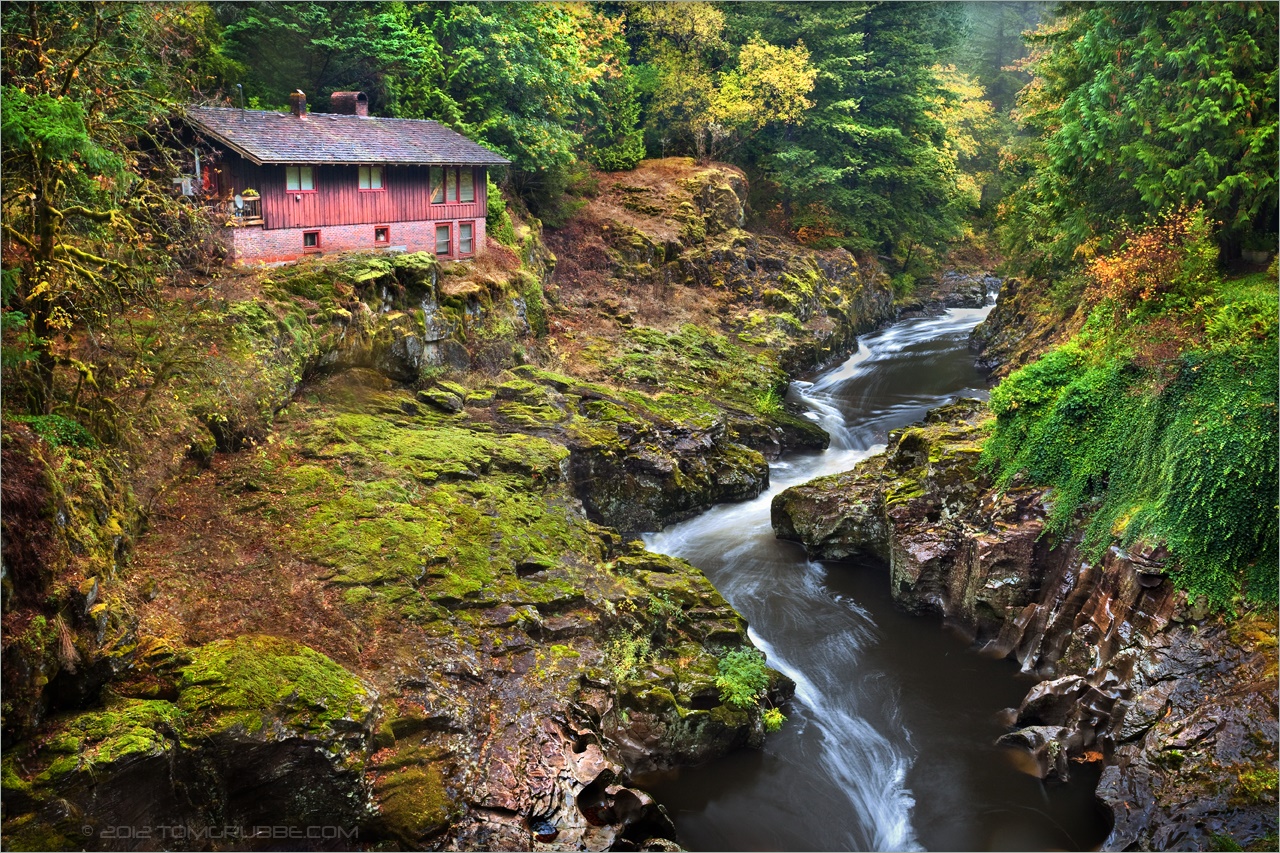
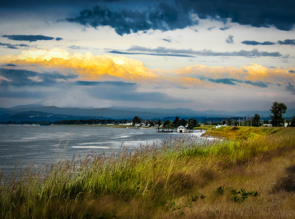
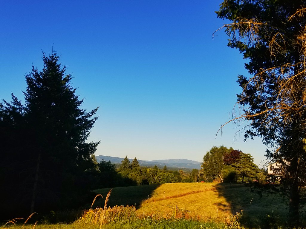
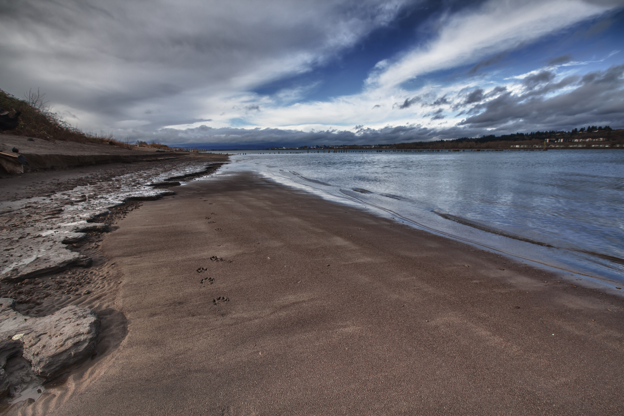
Related Photos:
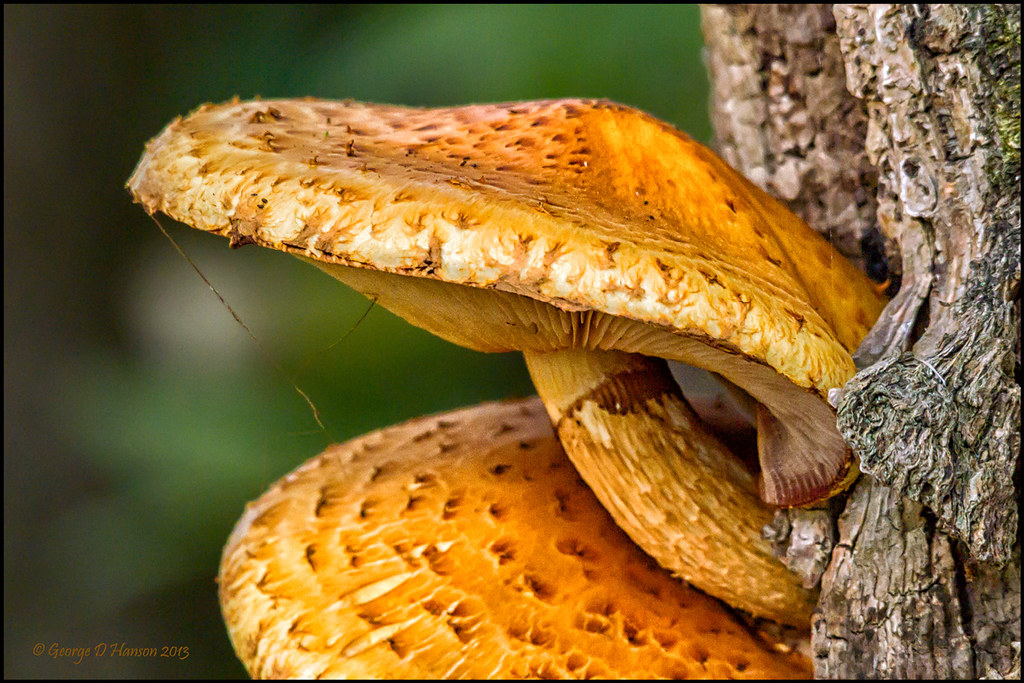
Scaly Wood Mushroom (Explore 11/3/13)
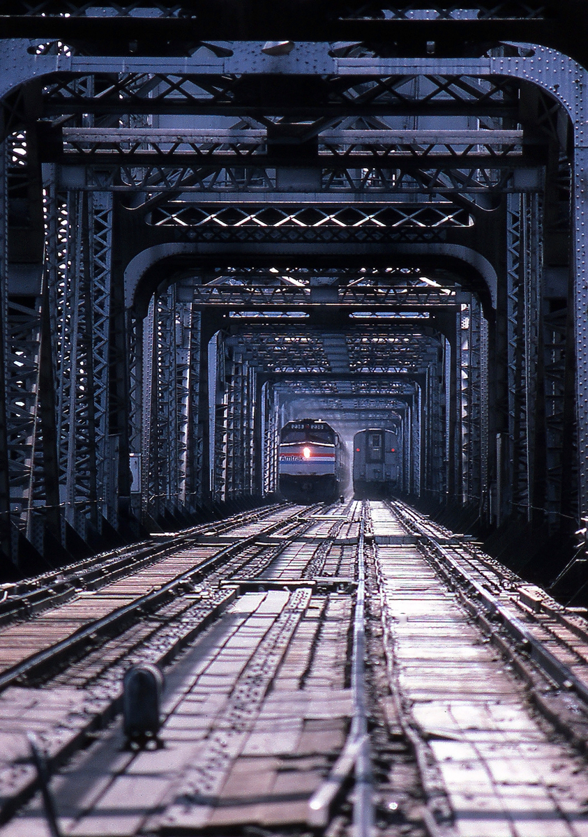
Coming and Going
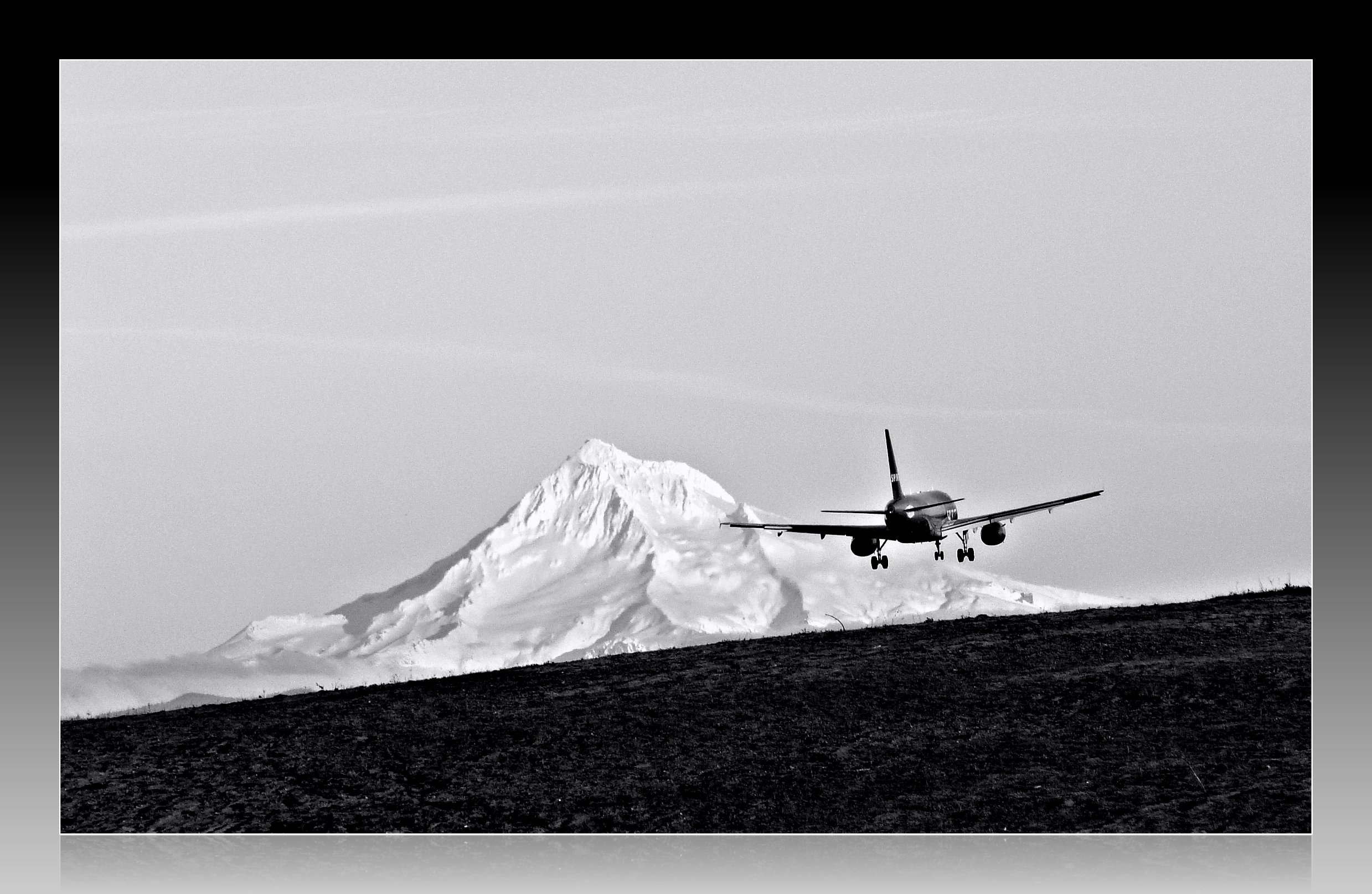
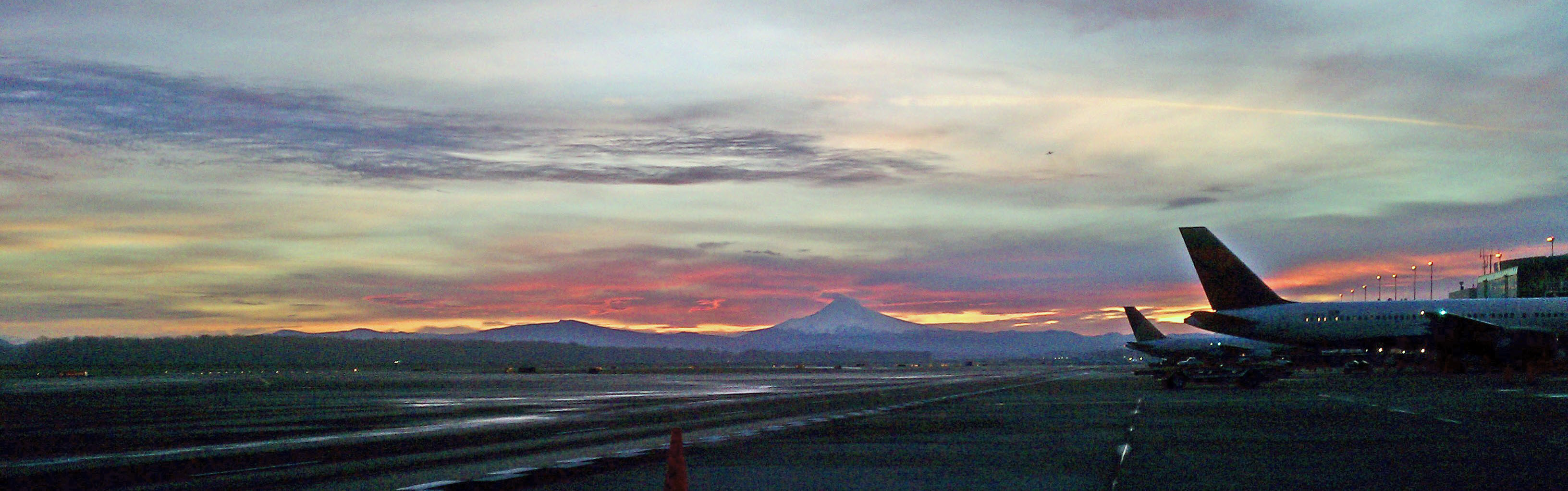
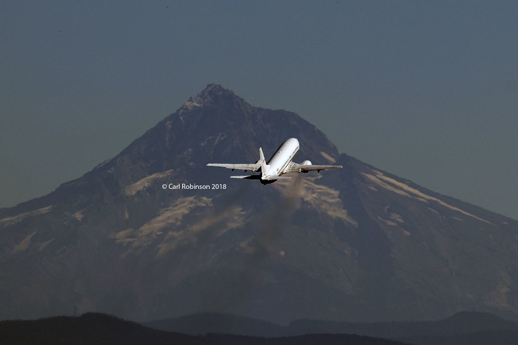
Leavin' on a Jet Plane
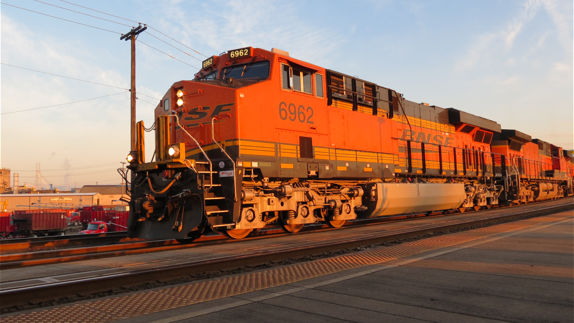
GE Diesel Locomotive (Start Up)
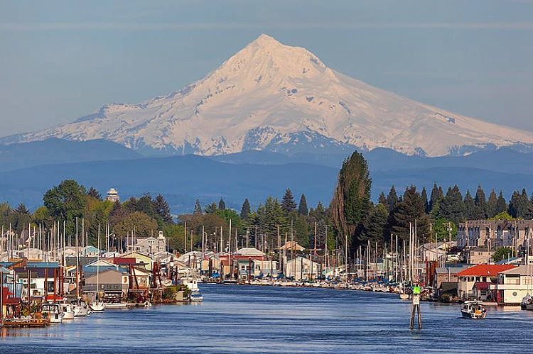
Majestic Mt Hood towering over floating homes along Columbia River . . . . #mounthood #floatinghouse #columbiariver #traveloregon #jj_westcoast #jj_oregon #gramkillerz #portlandlife #mthoodterritory #columbiarivergorge #exploreoregon #purplepassport #expl
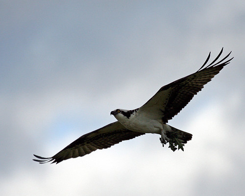
Time to make the Nest
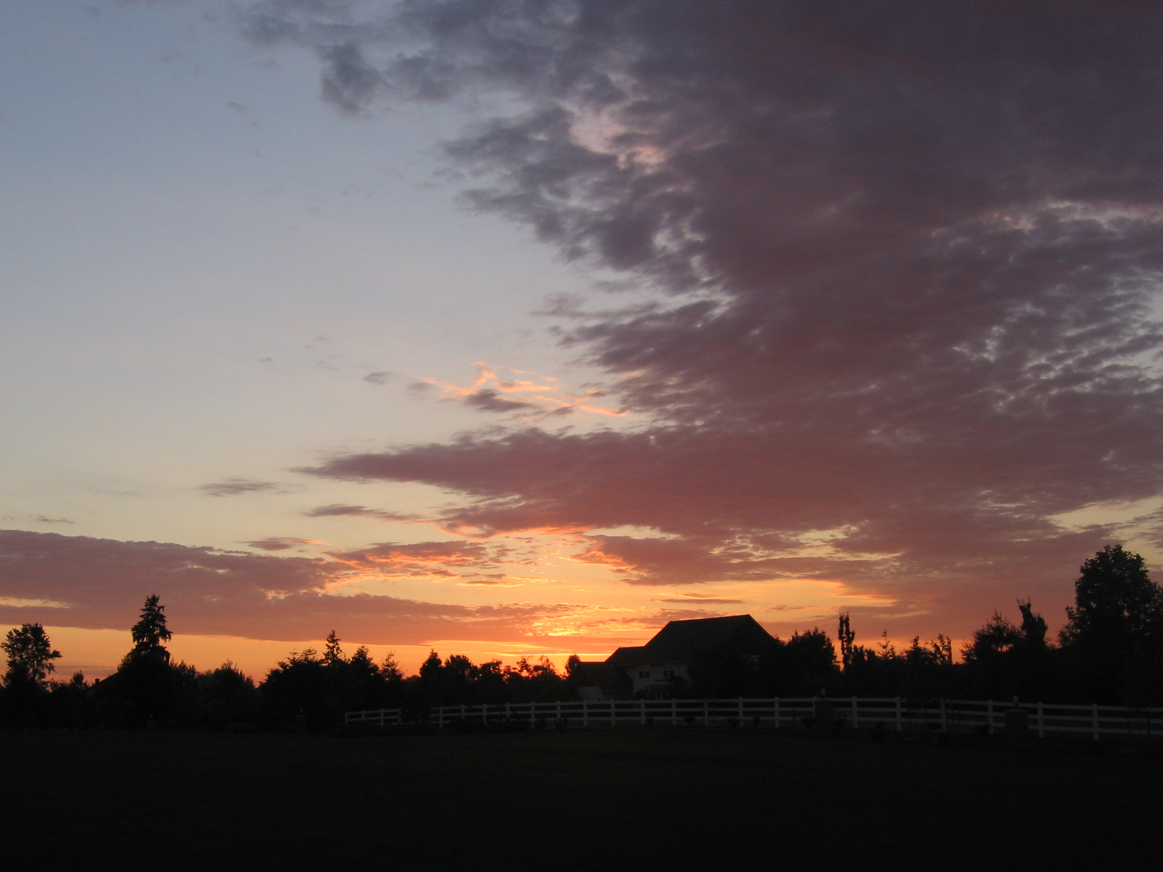
Home Sunset 2
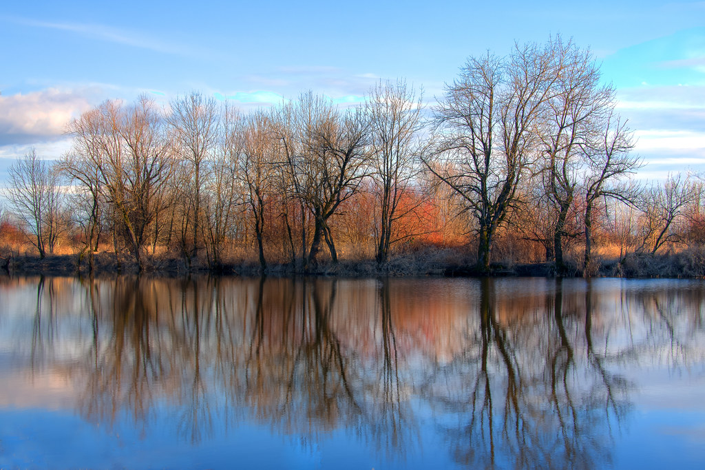
Smith and Bybee lakes
Seattle Bound Amongst the Searchlights
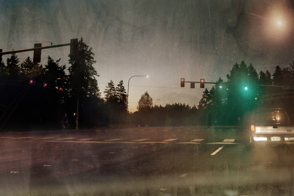
Foggy Night
The Interstate 5 Columbia River Crossing at Blue Hour . . . . #interstate5 #columbiarivercrossing #bluehourphotography #portland #travelportland #exploreportland #columbiariver #travelwashington #explorewashington #pacificnorthwest #pnwisbeautiful #pnwond
Meet Tim
GO ~ or ~ how you'll stay with me

Pinhole Panoramic

Almost there. Great views.
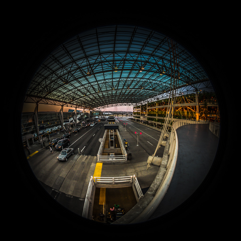
Under the PDX Canopy
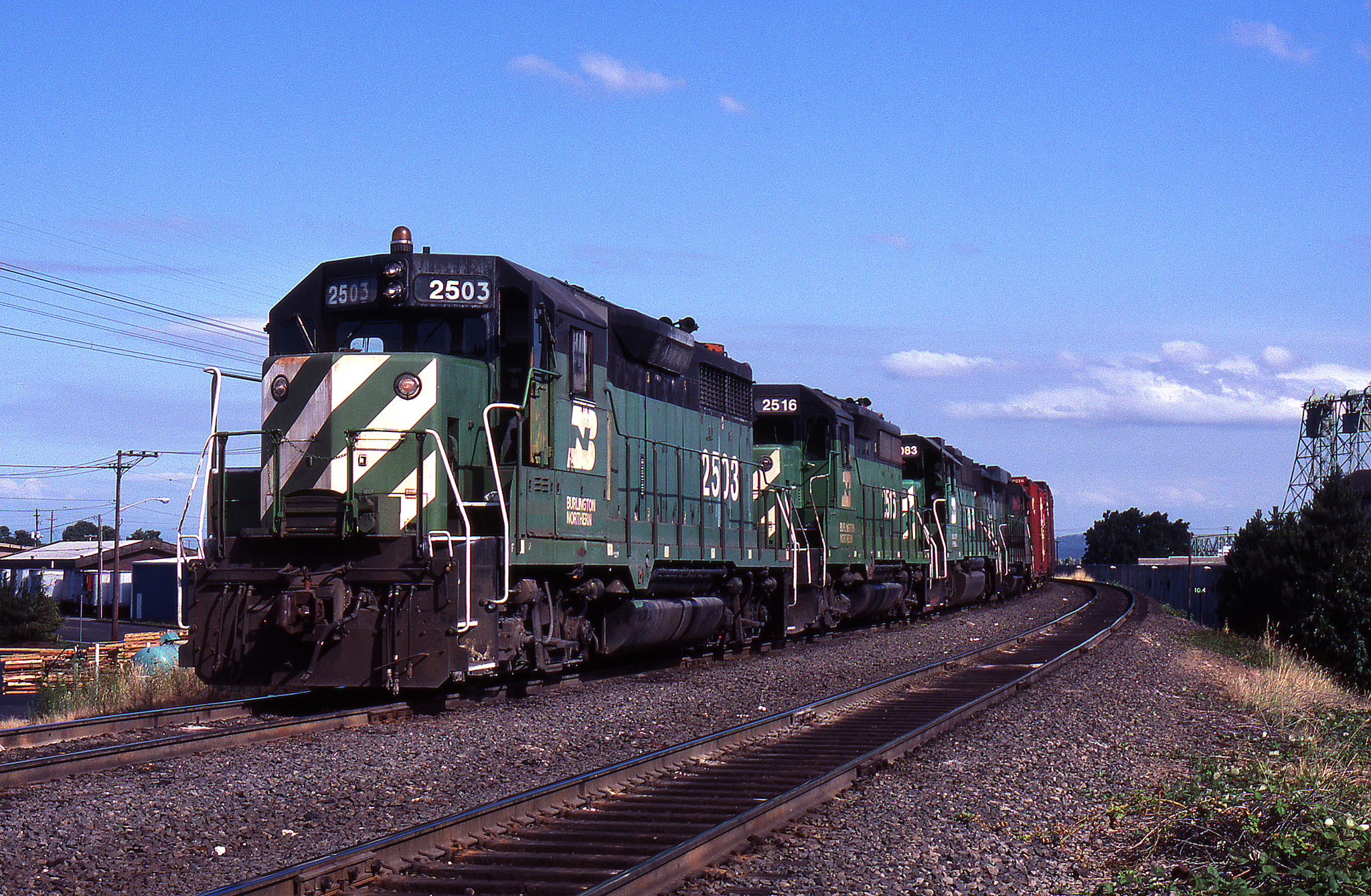
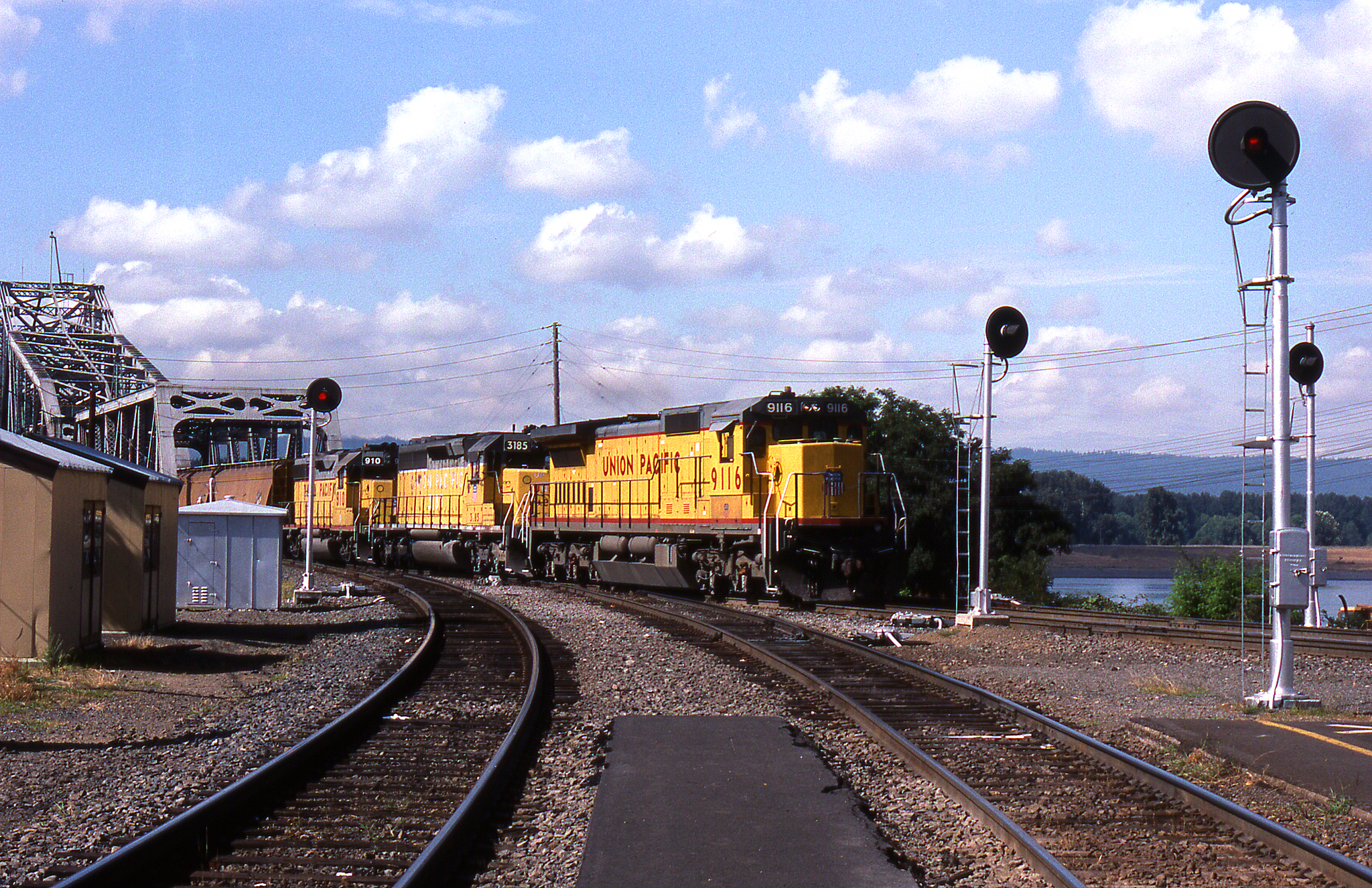
BN #138 @ Vancouver - 2
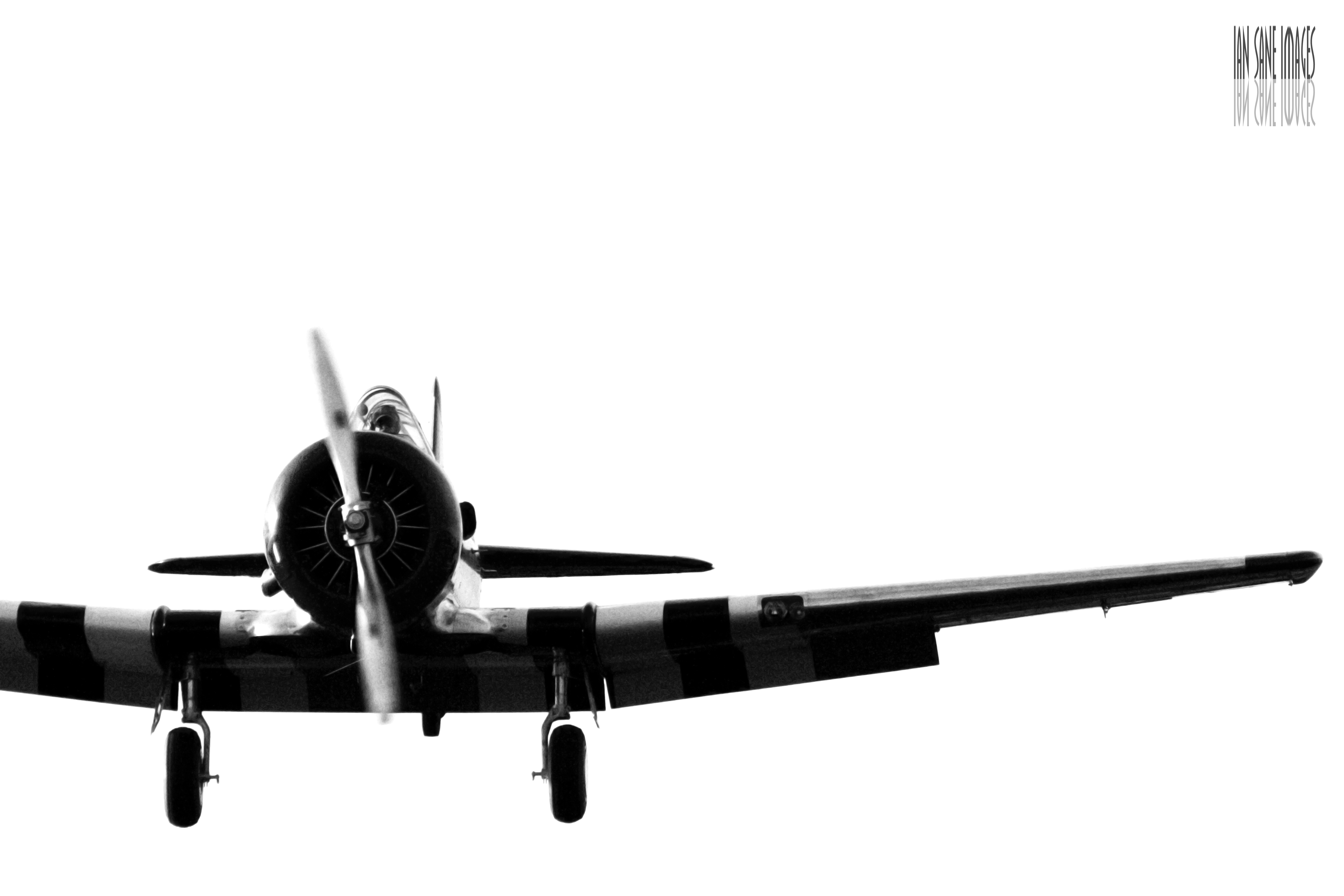
A Straight-On View
IMAG1597_edited-1.jpg

Lilies In The Wind
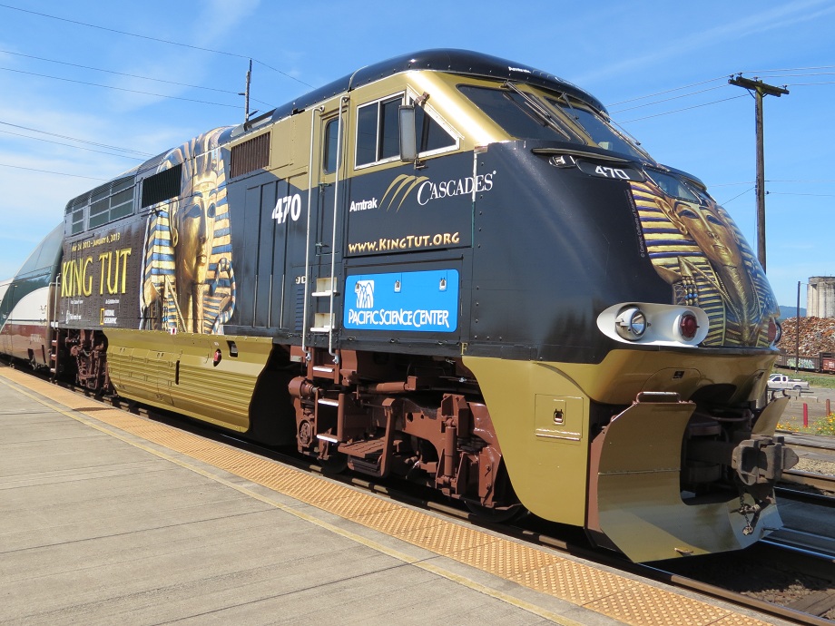
Amtrak 470 King Tut
ColumbiaRiver-DC4_0483

Colorful Sunset
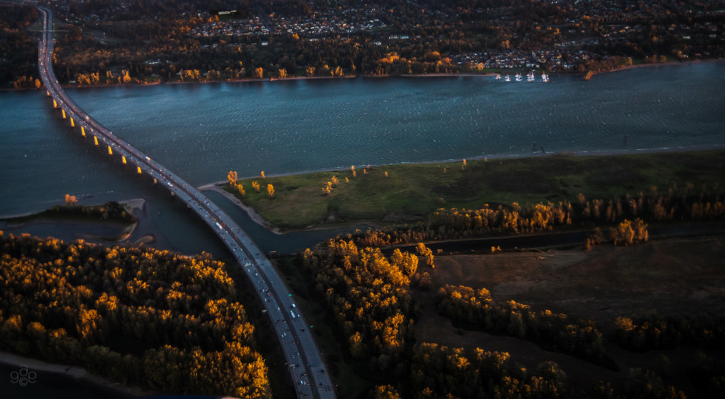
First light probes the Columbia River crossing
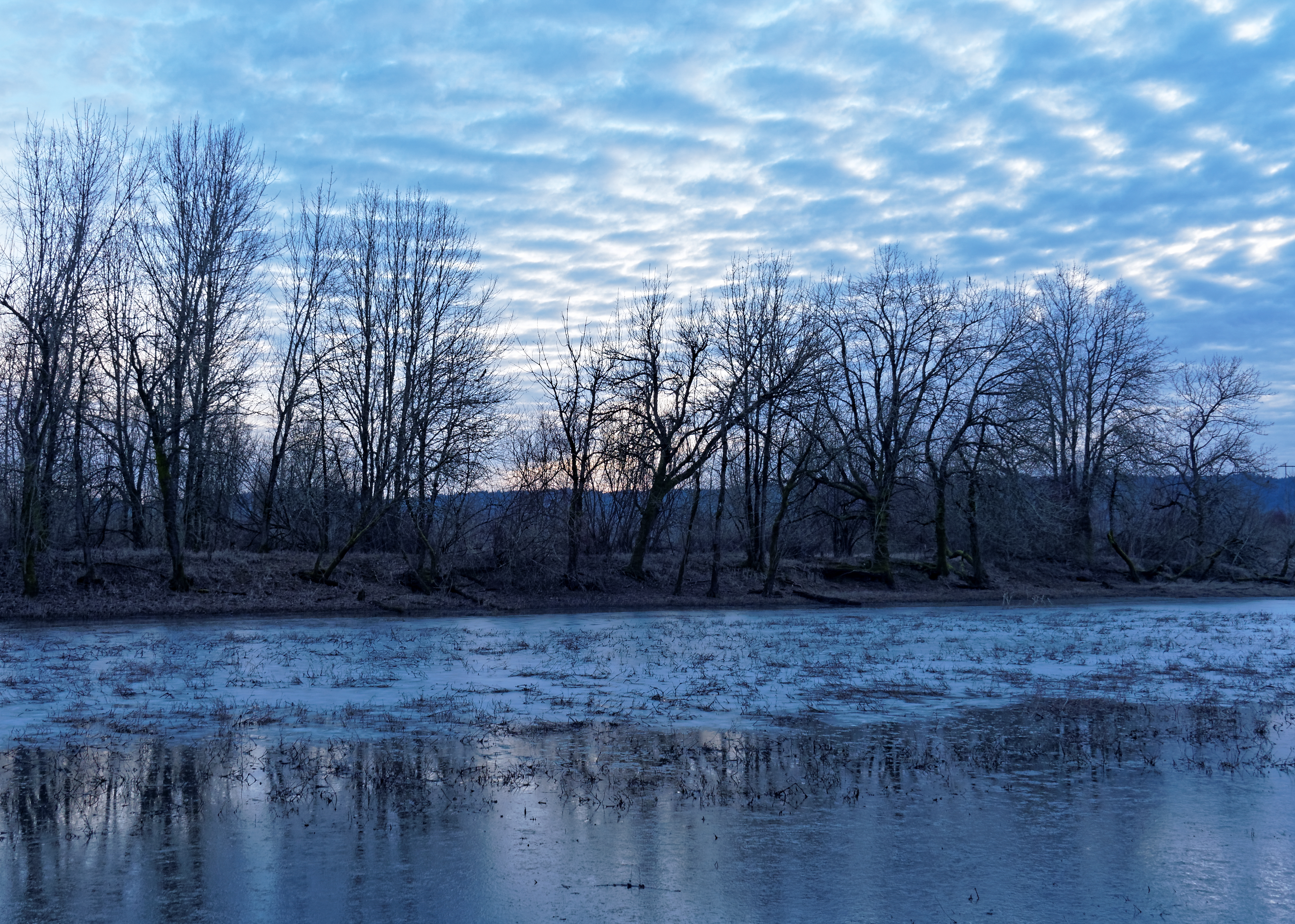
La Niña winter in Portland – ice on seasonal pond between Smith and Bybee Lakes
N639CS U.S. Marshals/DOJ Boeing 737-400
#vscocam
Untitled photo

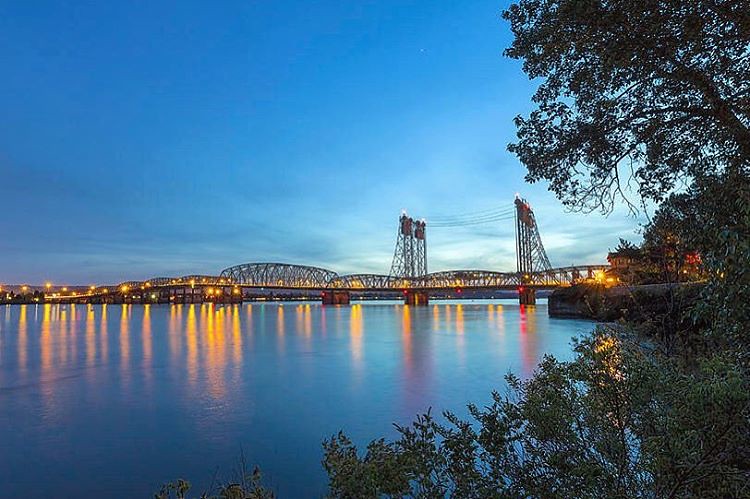
Crossing the Columbia

Peaceful surrounds...
River House
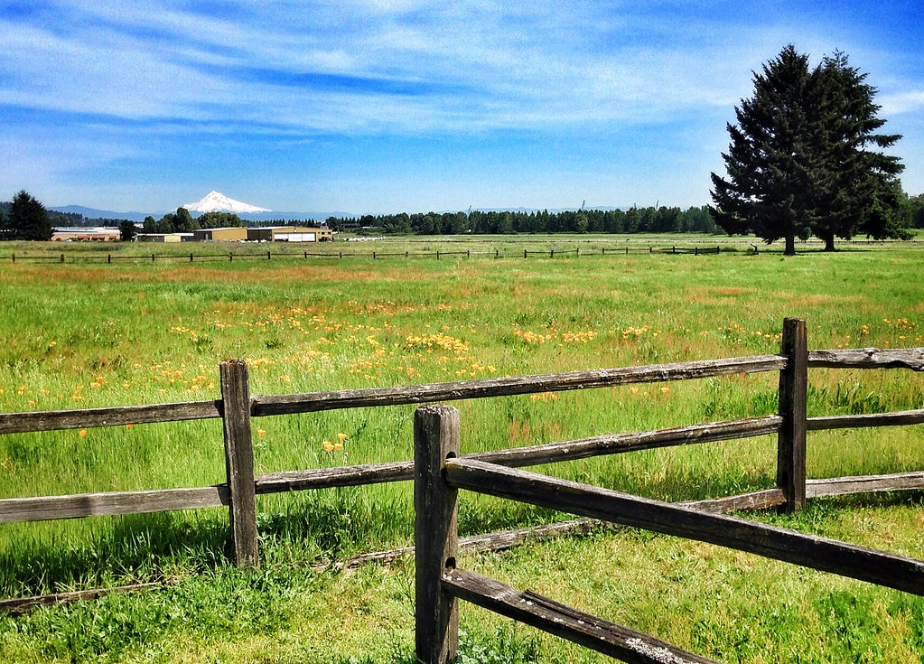
Oregon landscape
Hills Of Gold

Flooding by Vancouver Lake

Snow Geese Landing
clearing storm, columbia river

Columbia River

Columbia River sunrise panorama -- the universe is putting on a show for us this morning
Grassy Field and Clouds, NE Portland

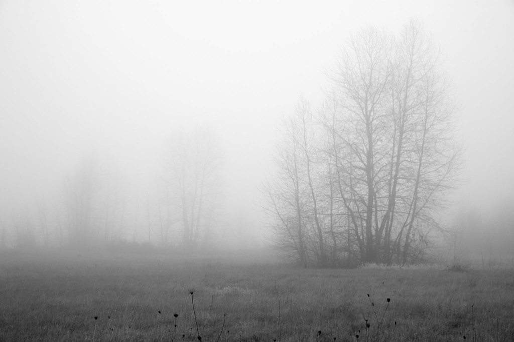
Went on a beautiful #hike in the #fog this morning.
Pearson Airfield #sonya6000 #flowers #nature #weaverwrite #beauty #pearsonairport

Hello, #oregon.
Topographic Map of NE 99th Ave, Vancouver, WA, USA
Find elevation by address:

Places near NE 99th Ave, Vancouver, WA, USA:
10000 Ne 116th Cir
12602 Ne 109th Ave
20300 Ne 122nd Ave
15220 Ne 116th Ct
Brush Prairie
9901 Ne 170th St
Barberton
17416 Ne 110th Ave
10600 Ne 176th Cir
5410 Ne 124th St
5410 Ne 124th St
17600 Ne 122nd Ave
Southwest 39th Circle
16617 Ne 179th St
13111 Ne 50th Ave
4905 Ne 134th St
Vancouver, WA, USA
Pleasant Valley
5112 Ne 146th St
5112 Ne 146th St
Recent Searches:
- Elevation of Rojo Ct, Atascadero, CA, USA
- Elevation of Flagstaff Drive, Flagstaff Dr, North Carolina, USA
- Elevation of Avery Ln, Lakeland, FL, USA
- Elevation of Woolwine, VA, USA
- Elevation of Lumagwas Diversified Farmers Multi-Purpose Cooperative, Lumagwas, Adtuyon, RV32+MH7, Pangantucan, Bukidnon, Philippines
- Elevation of Homestead Ridge, New Braunfels, TX, USA
- Elevation of Orchard Road, Orchard Rd, Marlborough, NY, USA
- Elevation of 12 Hutchinson Woods Dr, Fletcher, NC, USA
- Elevation of Holloway Ave, San Francisco, CA, USA
- Elevation of Norfolk, NY, USA