Elevation of NE 75th Cir, Vancouver, WA, USA
Location: United States > Washington > Clark County > Vancouver >
Longitude: -122.45846
Latitude: 45.676659
Elevation: 83m / 272feet
Barometric Pressure: 100KPa
Elevation Map:
Satellite Map:
Related Photos:
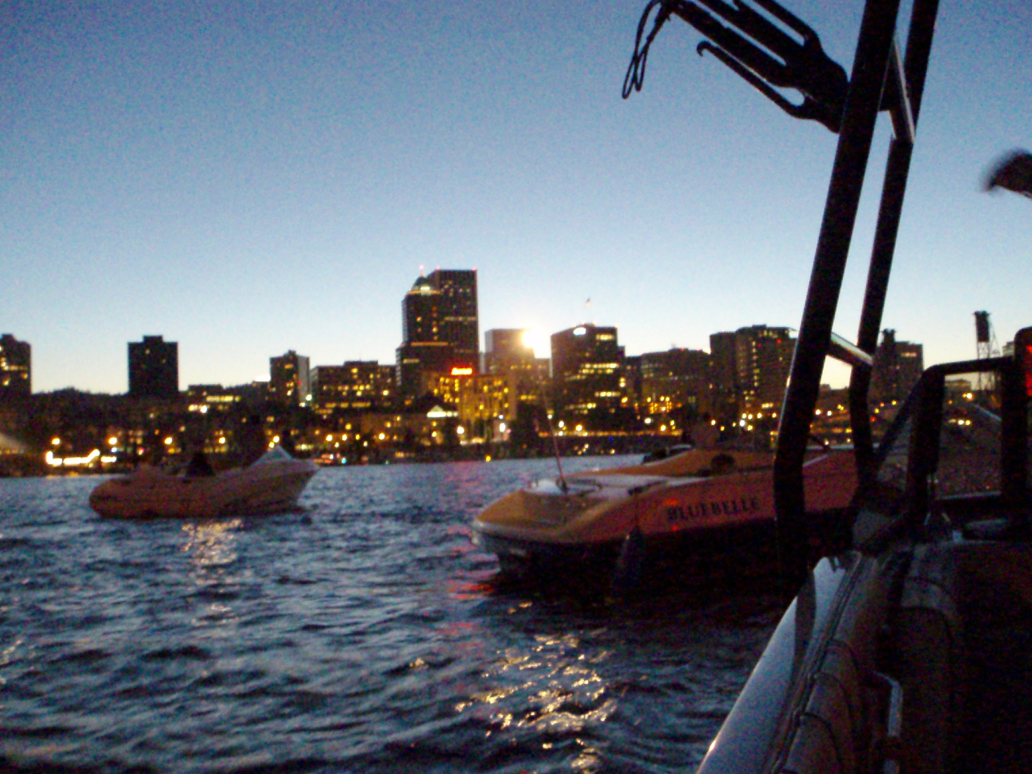
View of Portland from Boat
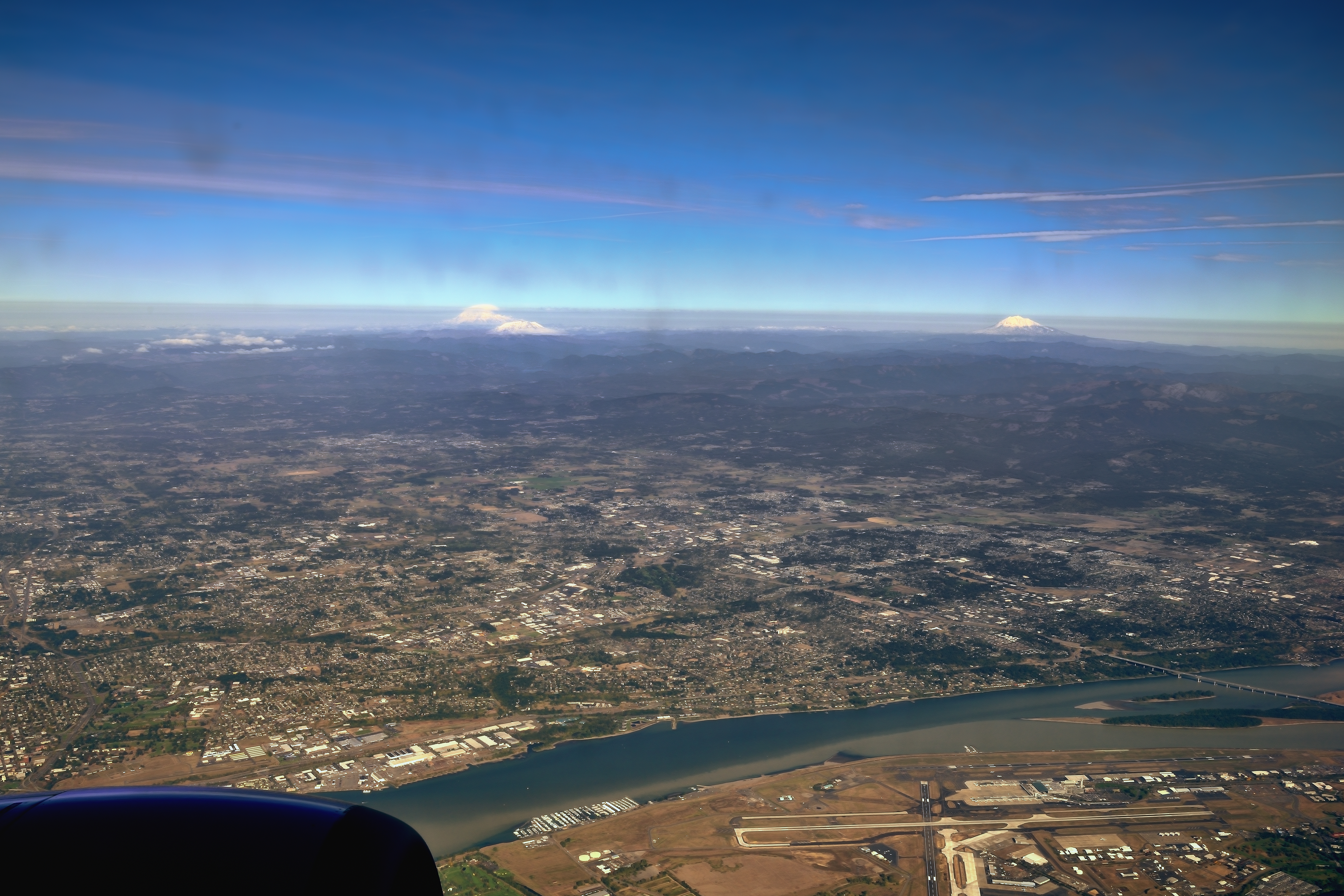
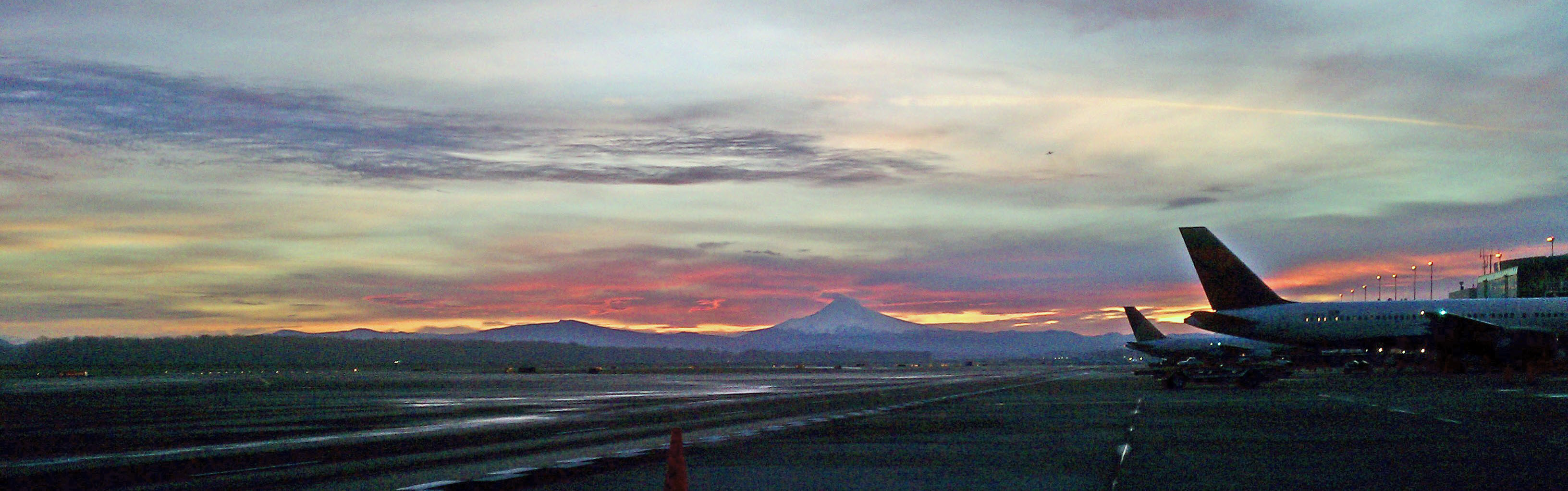
The Columbia River, an Airport and a Few Stratovolcanoes

One.
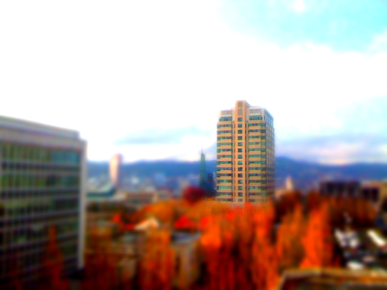
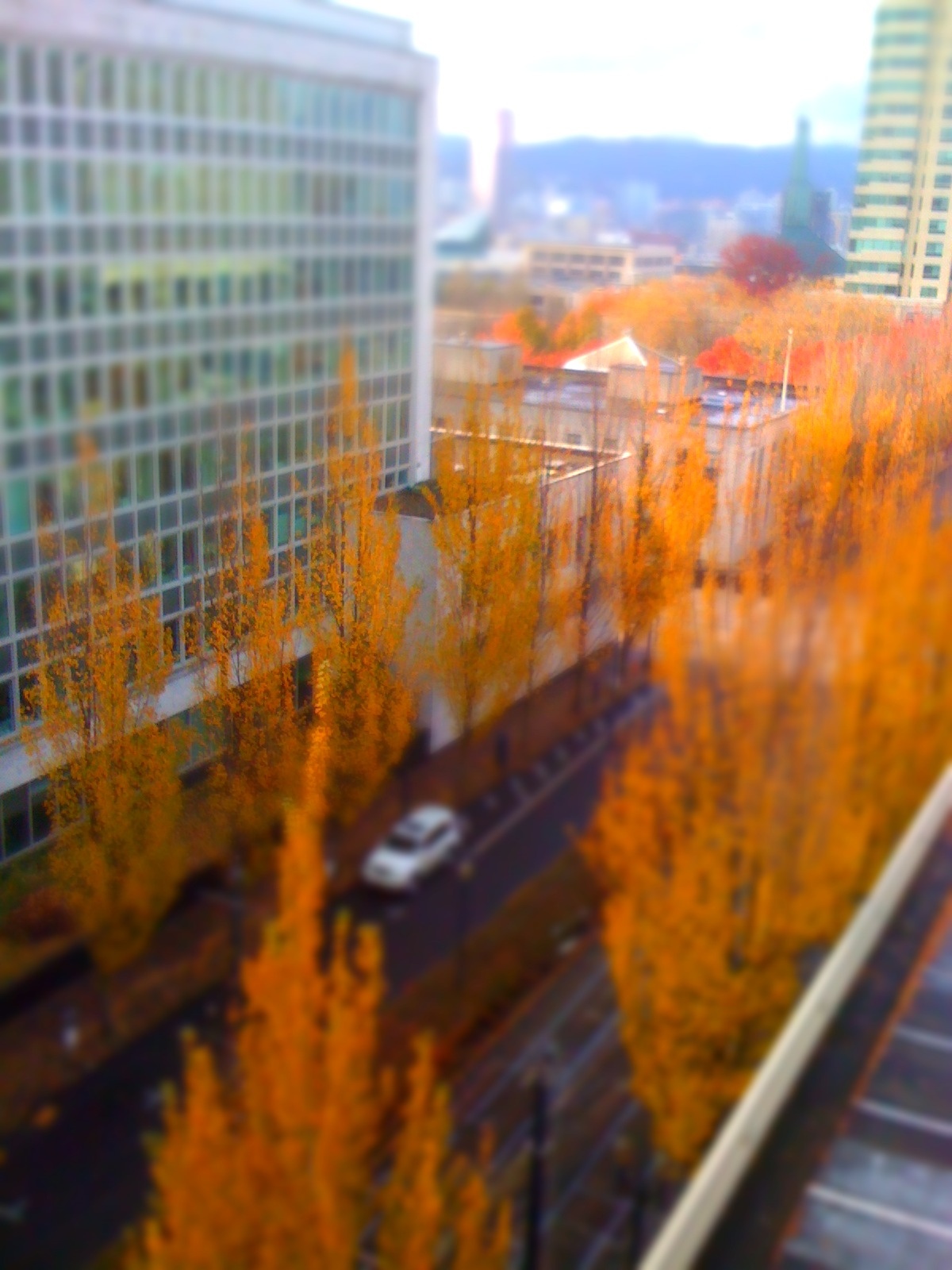
Portland Tilt-Shift
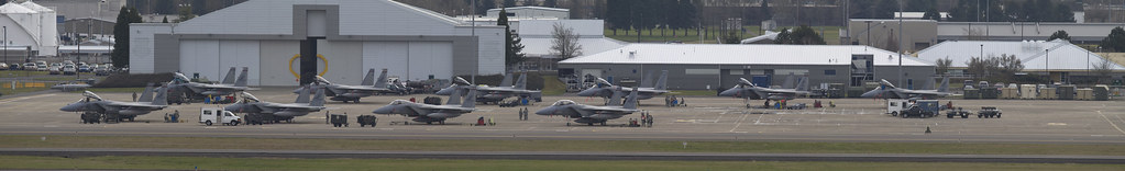
142d Fighter Wing

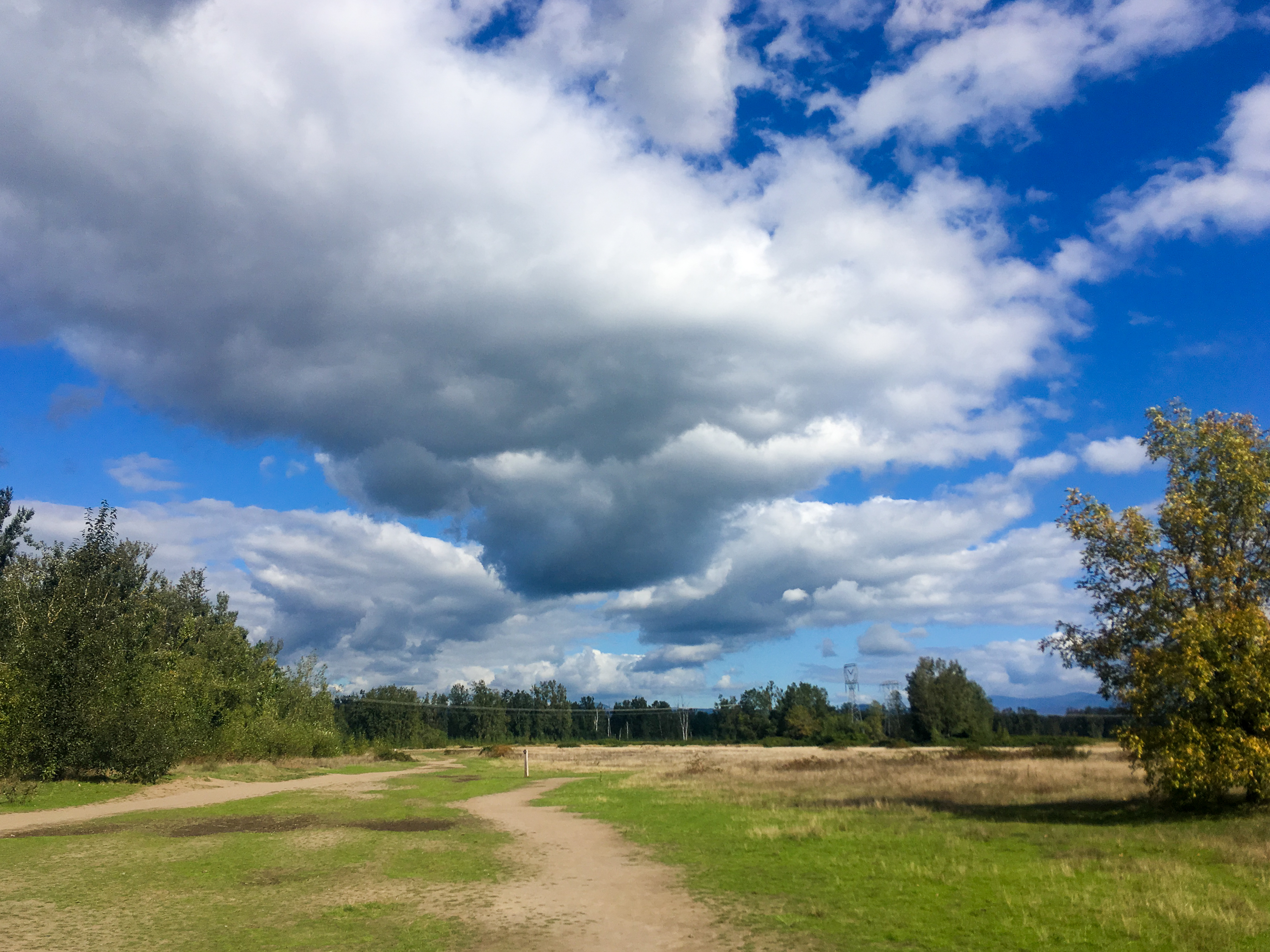
LACAMAS HERITAGE TRAIL Collage
Four.
the last day of August

So lucky to have friends @jess_pdx and @hinespdx (sbka* @HinesBeLike) to go out randomly hunting for city views on a lark. * = should be known as
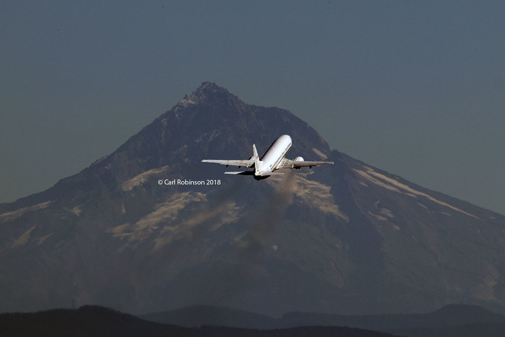
Leavin' on a Jet Plane
GO ~ or ~ how you'll stay with me
Under the PDX Canopy
View from the kitchen
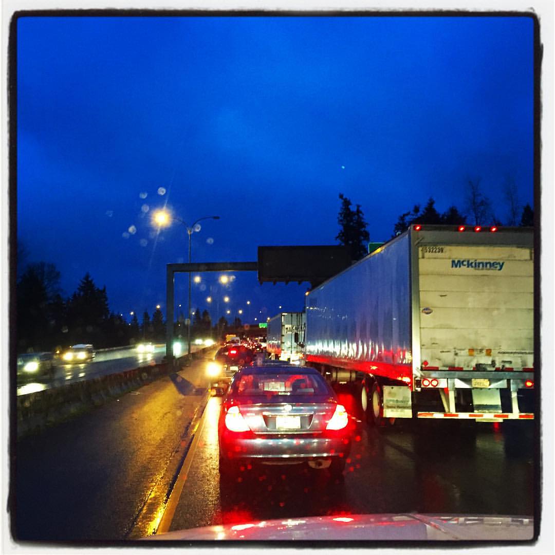
I-205 Bridge from Final Approach to Portland Airport (PDX)
Upgraded view
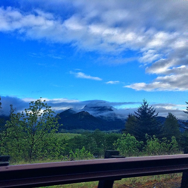
#drivebypic #cloudporn #skyporn #hoodgorge #oregon #oregonorgasm #oregonexplored #ColumbiaRiverGorge #cascadiaexplored #theworld_thru_youreyes #exploreoregon #upperleftusa #youroregon #rosecityspy #driverside_view #liveloveoregon #pnwclouds #pnw #pnwoutdo
IMAG1597_edited-1.jpg

WSU Vancouver Polar Panorama
The current view from my office...... While actually trying to get to my office. #suchislife #pdx

Close up of Schneider National 75th Anniversary Truck
Portland Trees Tilt-Shift
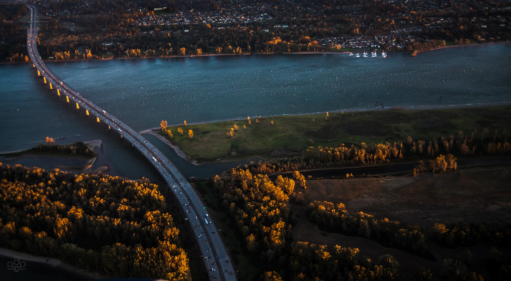
First light probes the Columbia River crossing
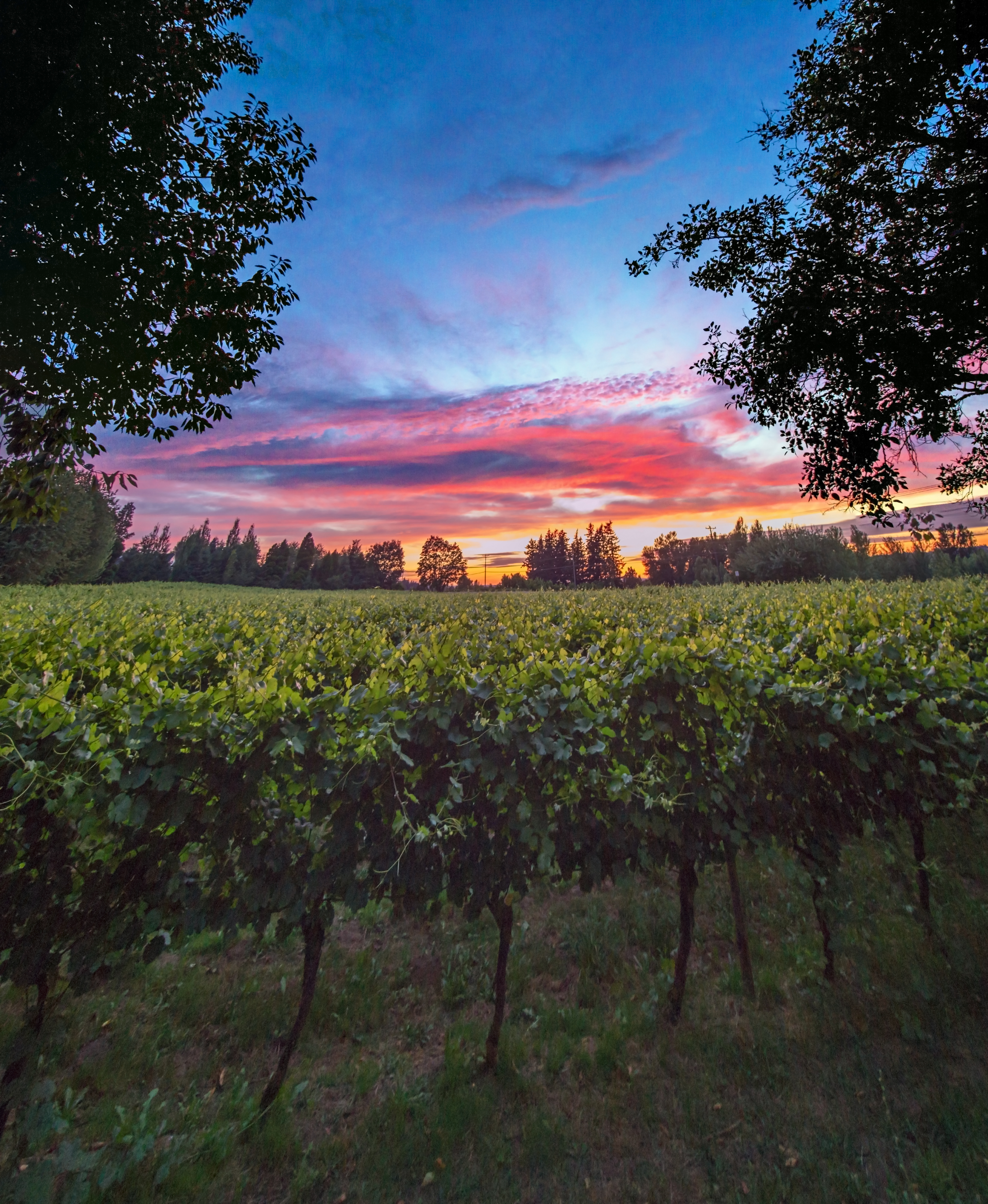
Wine on the Vine

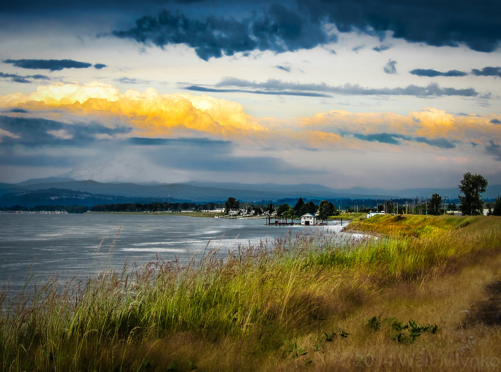
Sunset Over The Vinyards
Oregon landscape
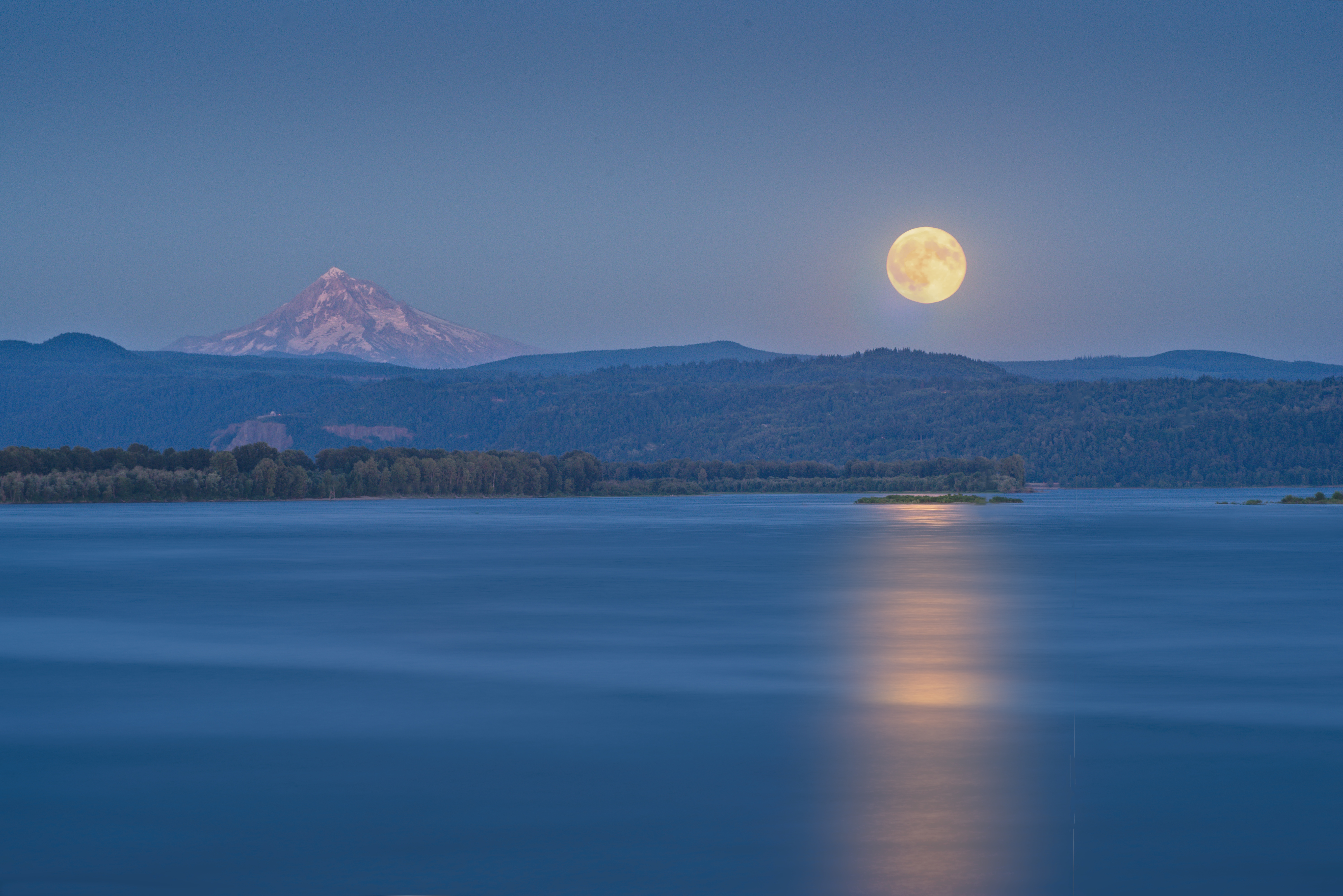
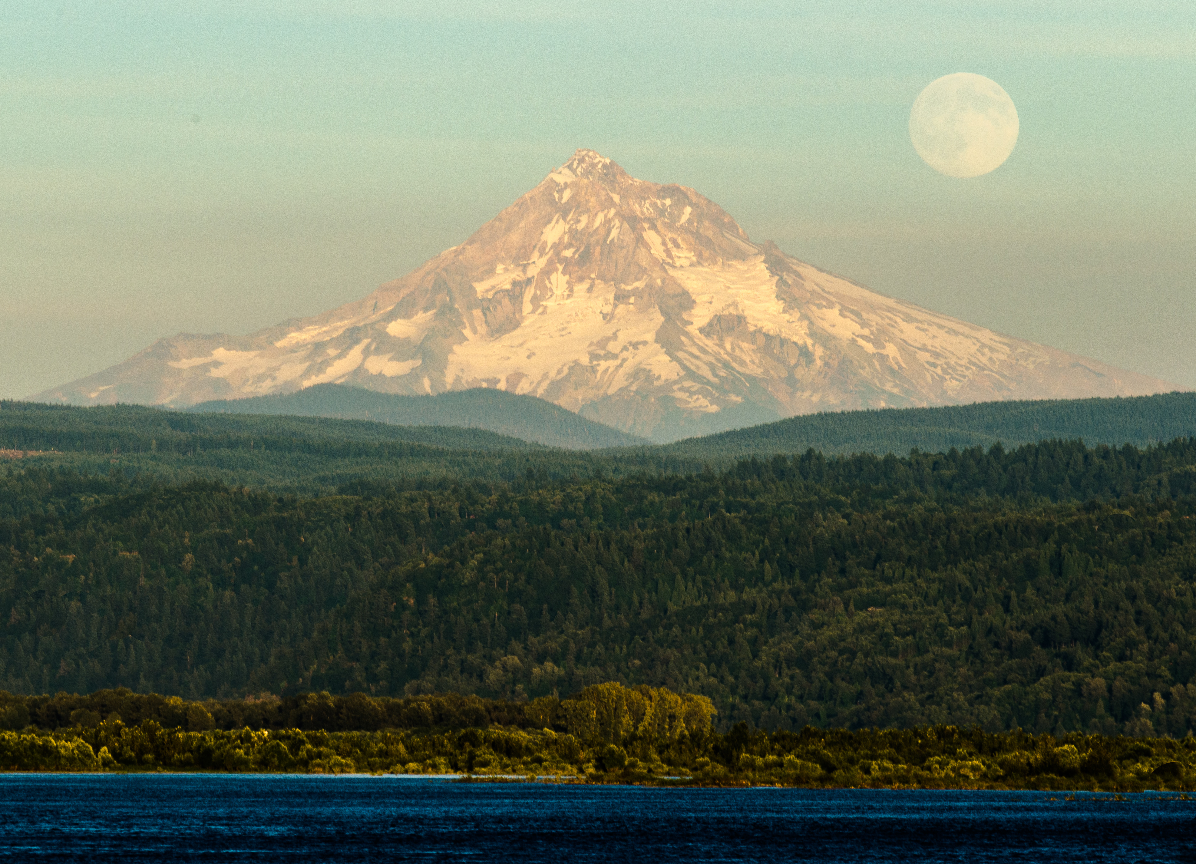
Moonrise Columbia River 307 D
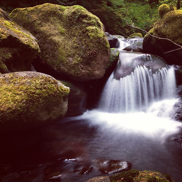
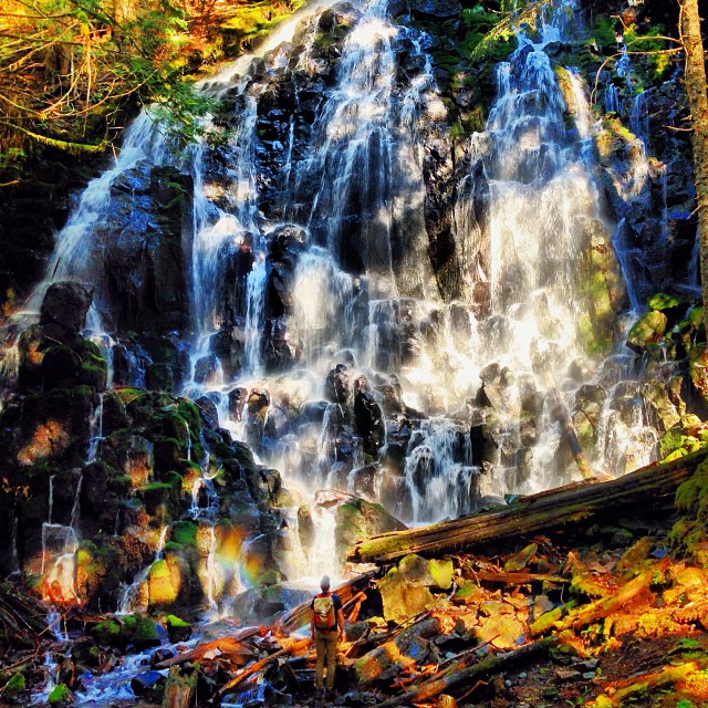
On Oneonta Creek

Give me comatose joy like rerun T.V.

vast open skies

Hello, #oregon.

Colorful Sunset
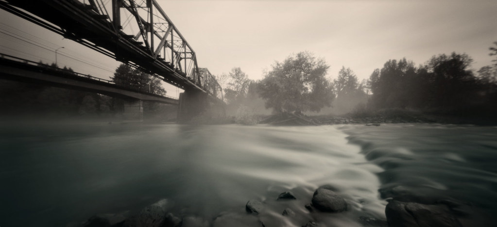
pinhole 926, river
#vscocam
N639CS U.S. Marshals/DOJ Boeing 737-400
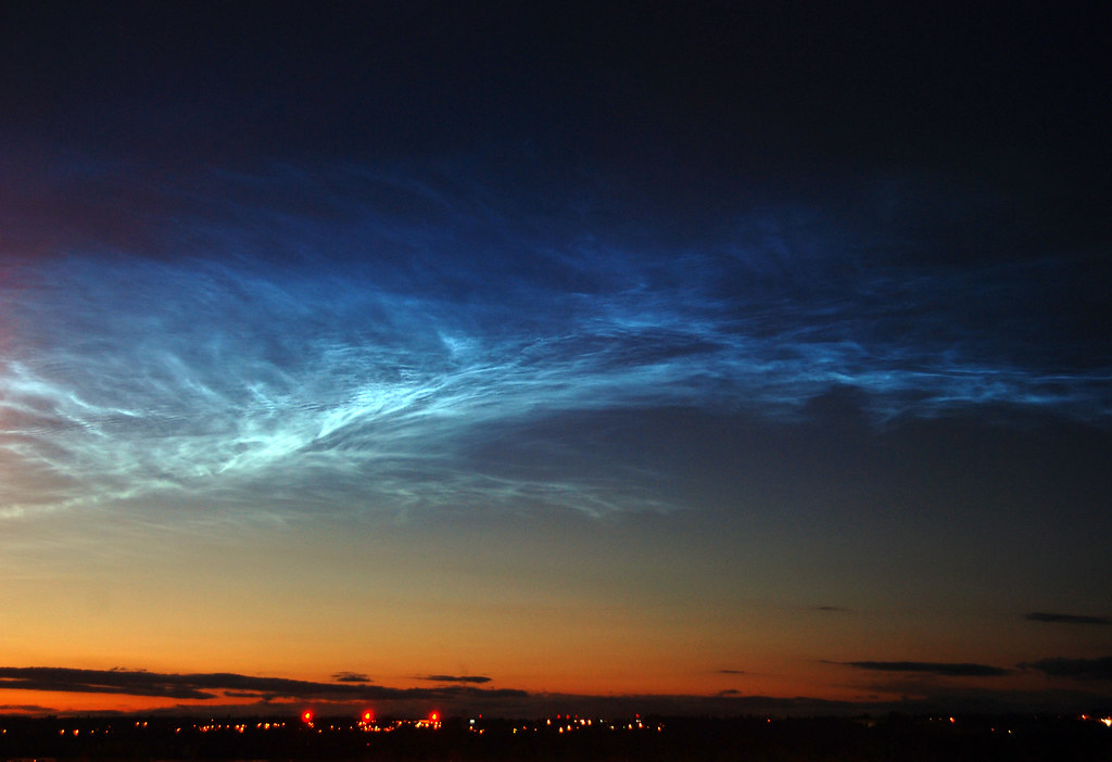
Noctilucent Cloud WOW!
Super Sight
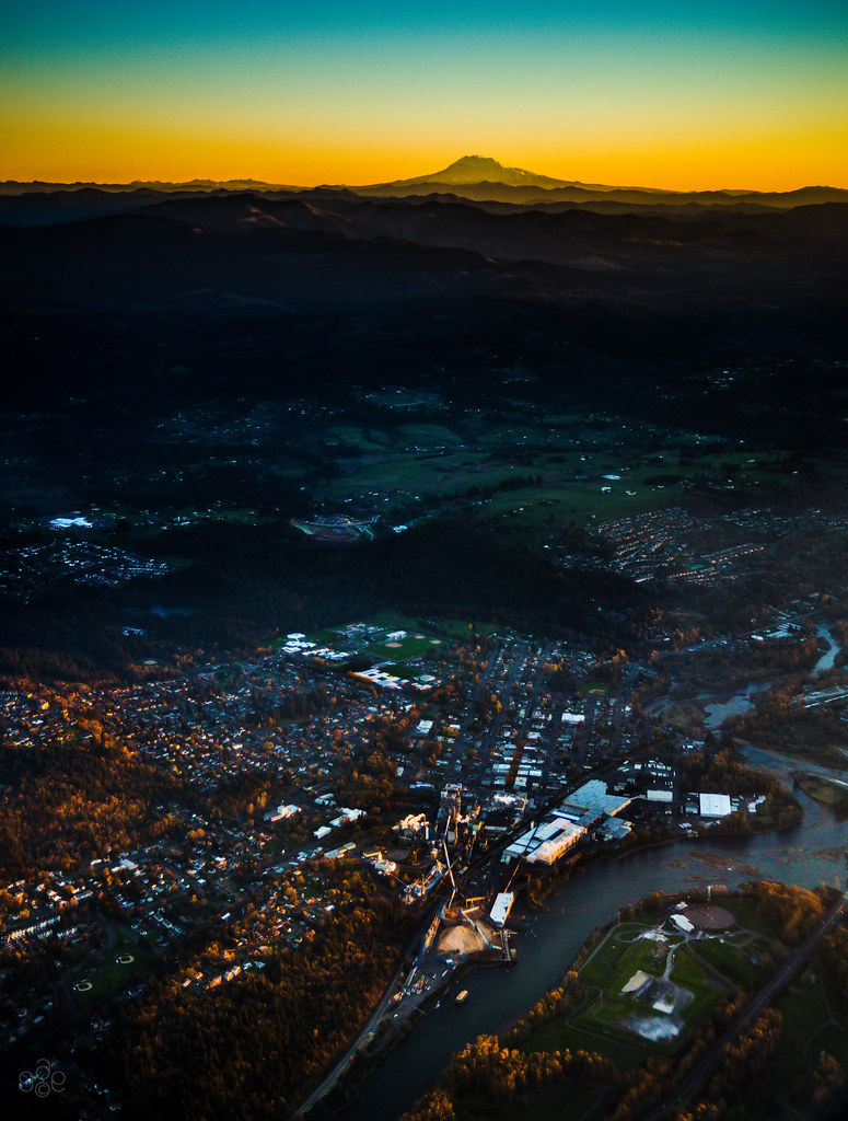
First light of day on Mt Adams and Camas, Washington

Lacamas Lake
Sunlight vestige
family ride at sandy river delta park

#winterbranches
Topographic Map of NE 75th Cir, Vancouver, WA, USA
Find elevation by address:

Places near NE 75th Cir, Vancouver, WA, USA:
7709 Ne 205th Ave
21508 Ne 83rd St
Livingston
18711 Ne 73rd St
9508 Ne 227th Ave
6101 Ne 232nd Ave
22901 Ne 101st Cir
18110 Ne 85th Way
23018 Ne 105th St
18509 Ne Garden Dr
3112 Ne 185th Ct
Vancouver, WA, USA
16501 Ne 78th St
Northeast 165th Avenue
17409 Ne 36th St
17401 Ne 39th St
18082 Ne 24th St
16509 Ne 98th St
Northeast 162nd Avenue & Northeast Fourth Plain Boulevard
16314 Ne 95th St
Recent Searches:
- Elevation of Falling Spring Rd, Clyde, NC, USA
- Elevation of Kingsfield St, Castle Rock, CO, USA
- Elevation of AMELIA CT HSE, VA, USA
- Elevation of Abbey Dr, Virginia Beach, VA, USA
- Elevation of Brooks Lp, Spearfish, SD, USA
- Elevation of Panther Dr, Maggie Valley, NC, USA
- Elevation of Jais St - Wadi Shehah - Ras al Khaimah - United Arab Emirates
- Elevation of Shawnee Avenue, Shawnee Ave, Easton, PA, USA
- Elevation of Scenic Shore Dr, Kingwood Area, TX, USA
- Elevation of W Prive Cir, Delray Beach, FL, USA