Elevation of NE 51st St, Vancouver, WA, USA
Location: United States > Washington > Clark County > Vancouver >
Longitude: -122.62348
Latitude: 45.6582164
Elevation: 103m / 338feet
Barometric Pressure: 100KPa
Elevation Map:
Satellite Map:
Related Photos:
Freemont sunrise

sauvie forest road
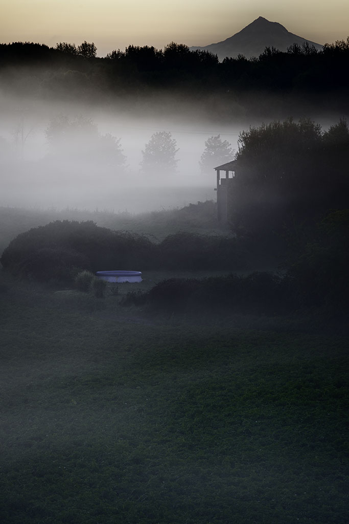
FOGGY LAKE
Summer on the Eastbank Esplanade - Explored #37

Forest fire
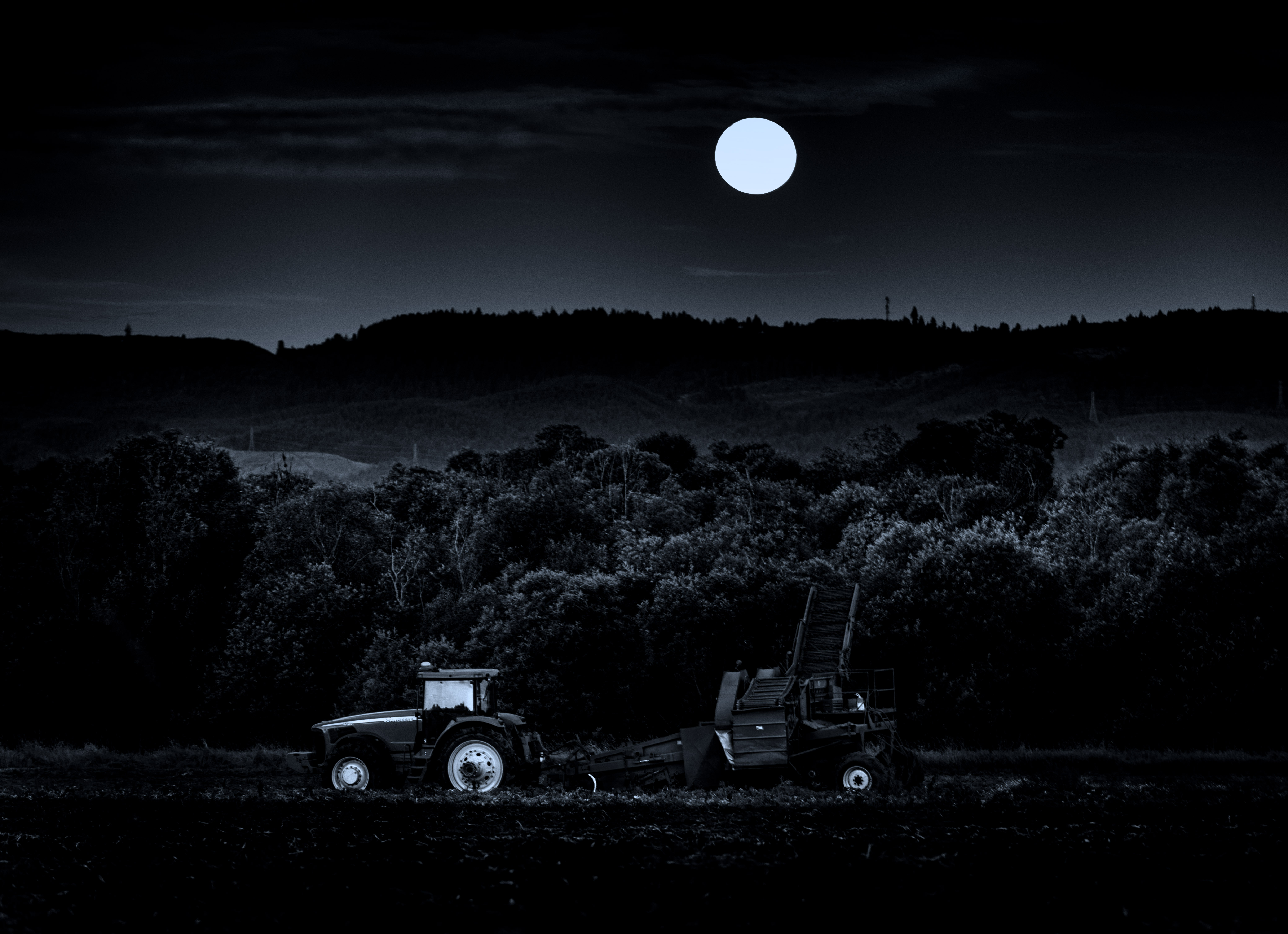
Moonrise over Tractor
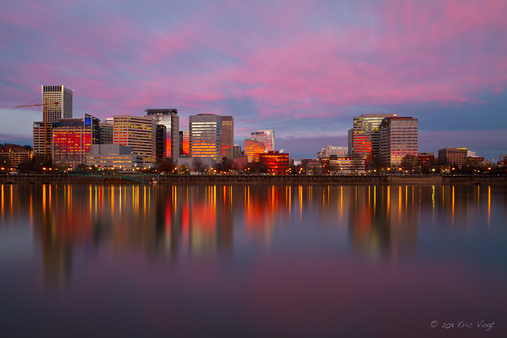
Pink Willamette
from lucy reeder road
above-ground pool (Explored)
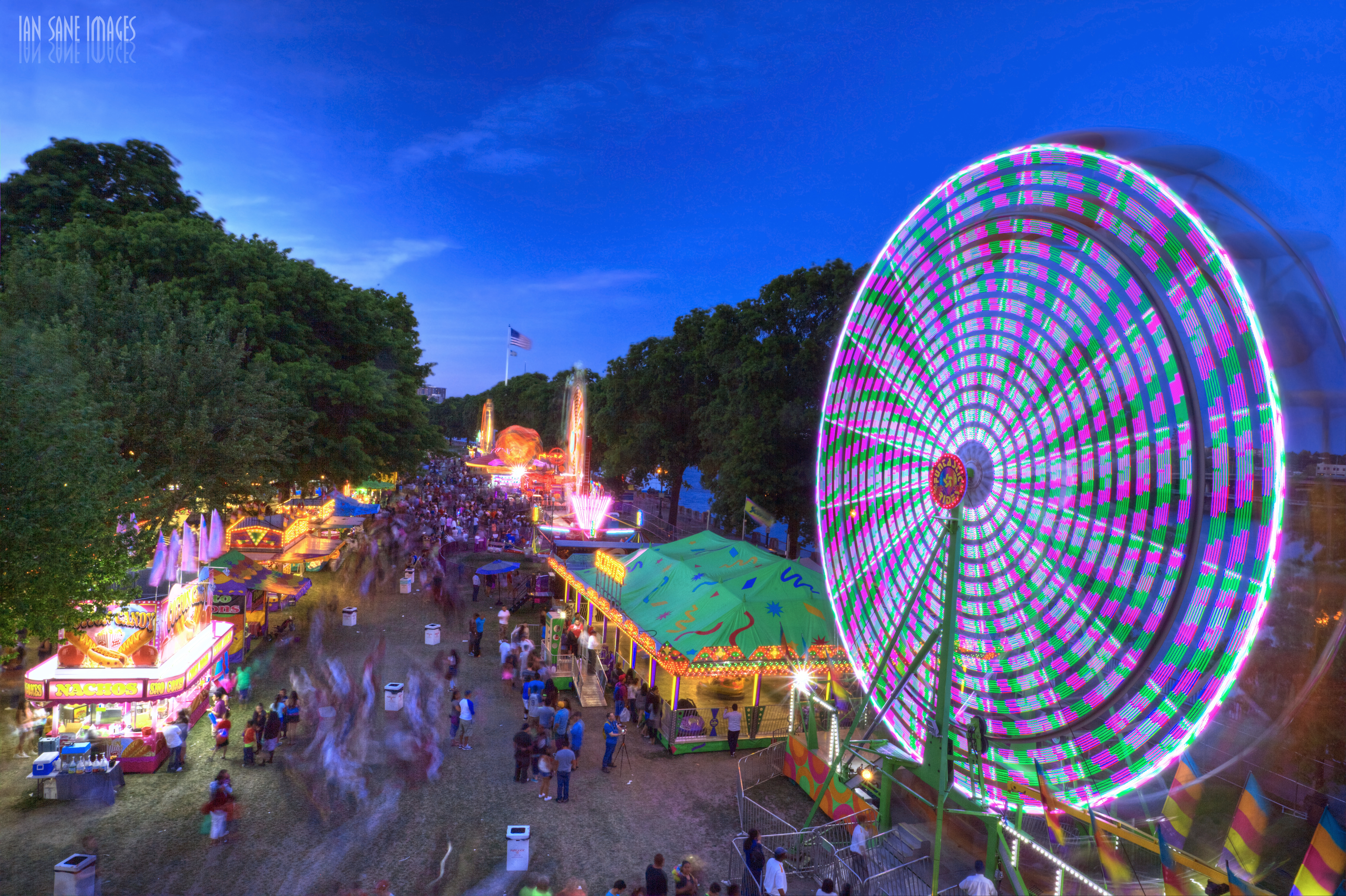
Cinco de Mayo Portland Style
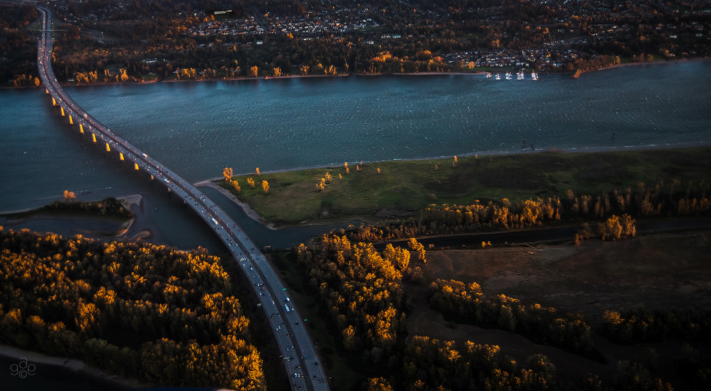
First light probes the Columbia River crossing
Willamette River Sunset Portland Oregon
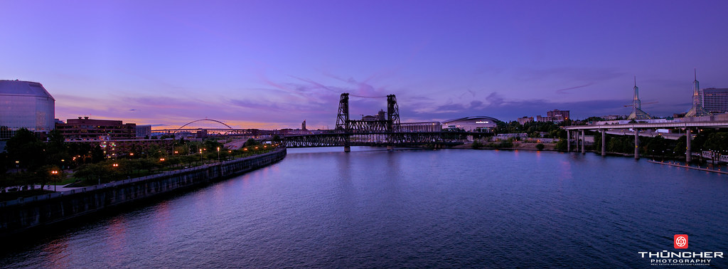
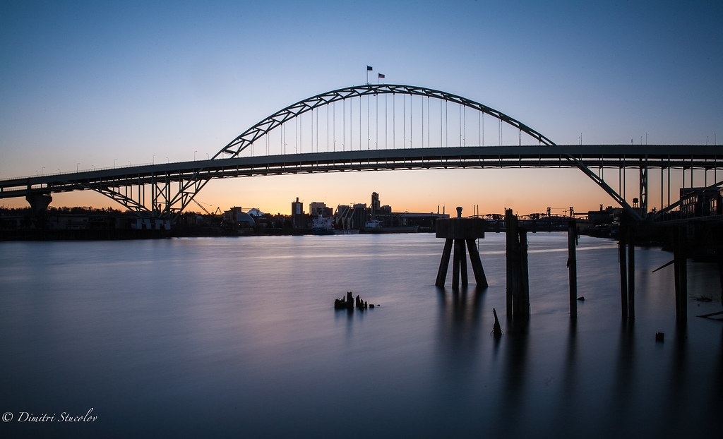
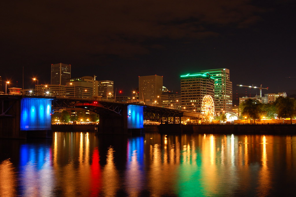
City Of Bridges

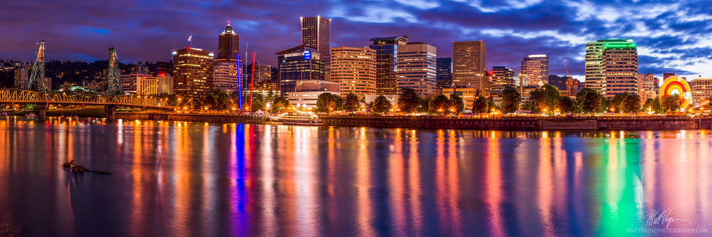
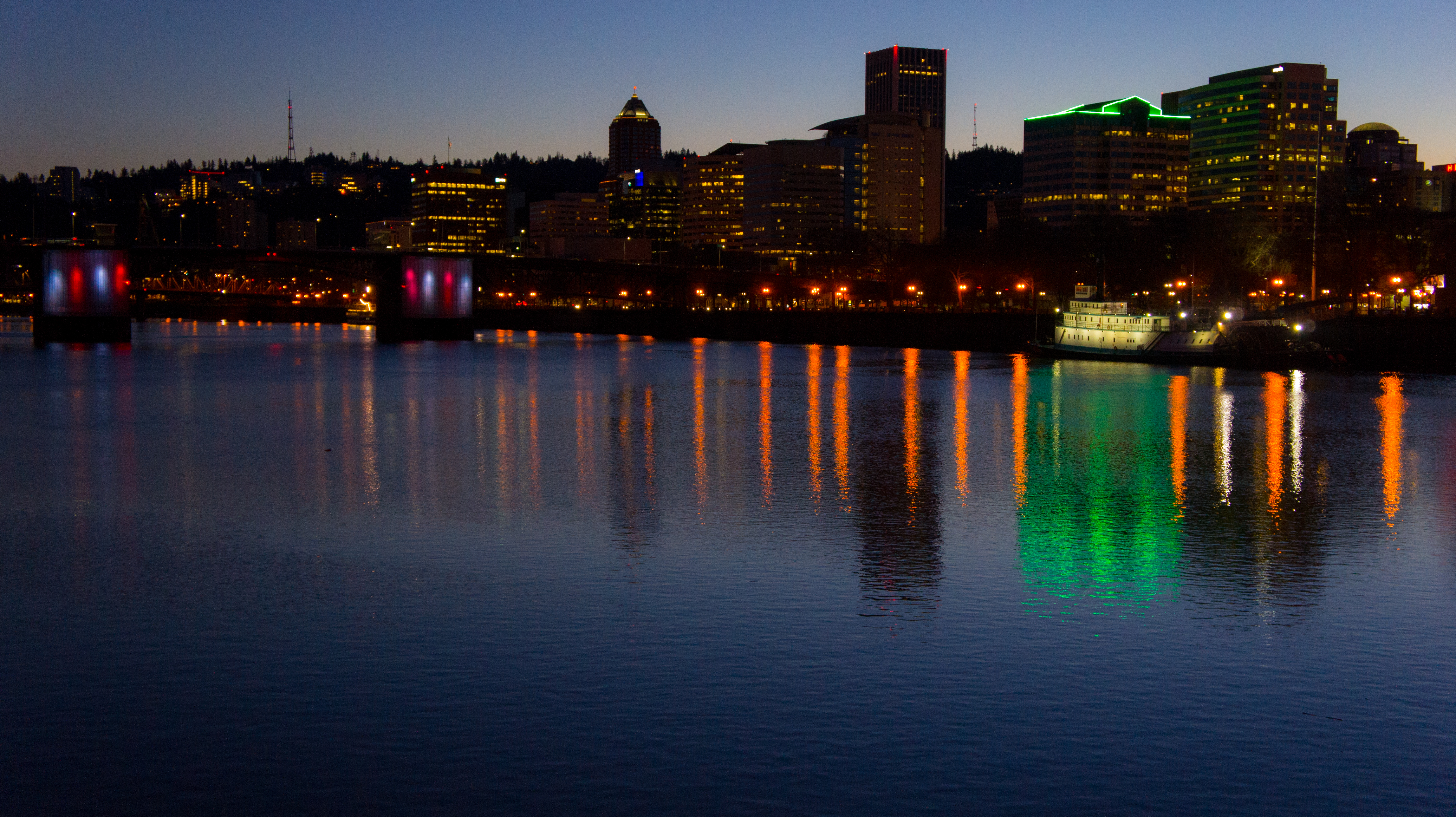
Portland Skyline
A Fairly Blue Night

40 minutes after the flood life had returned to normal
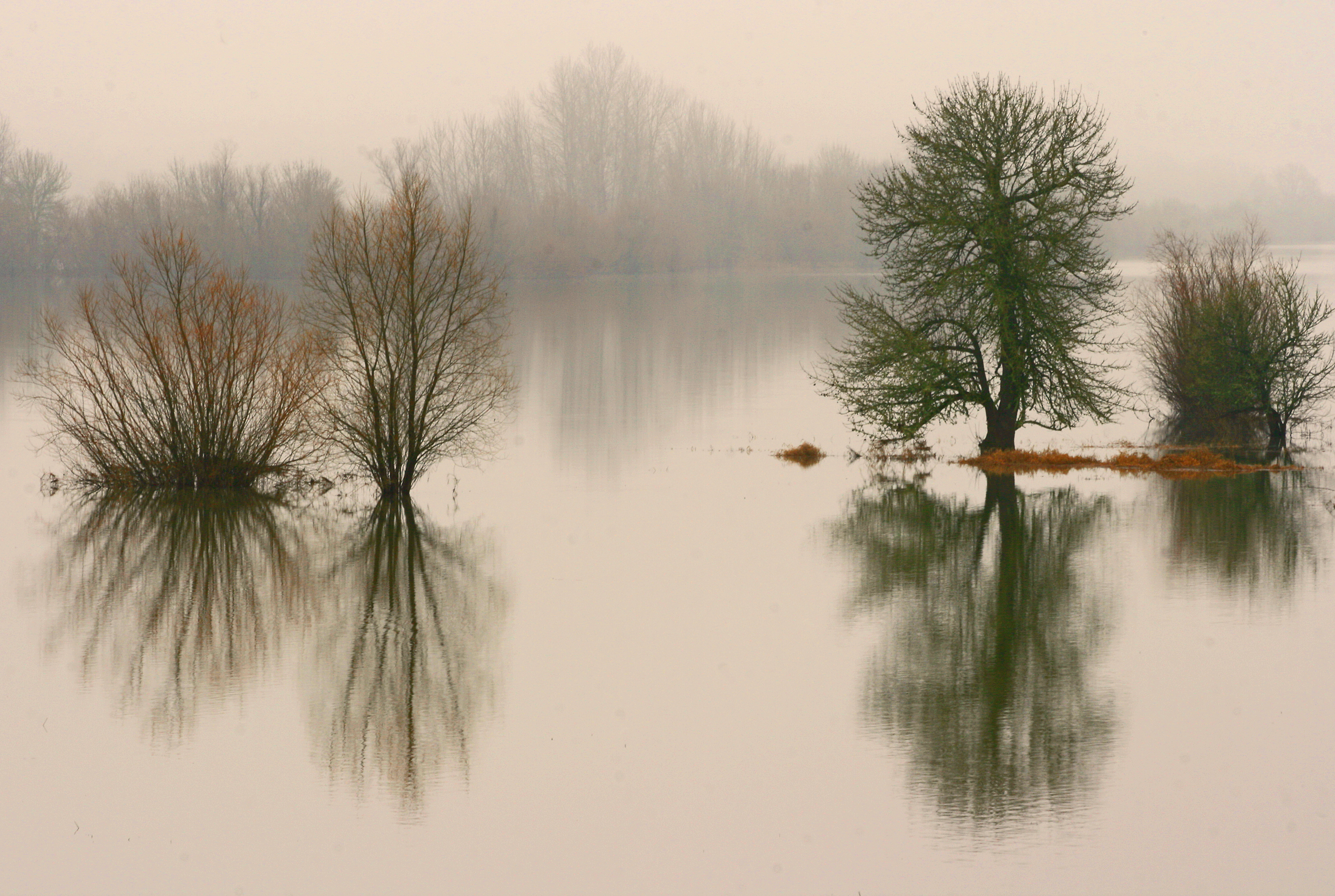
an Oregon island in the fall

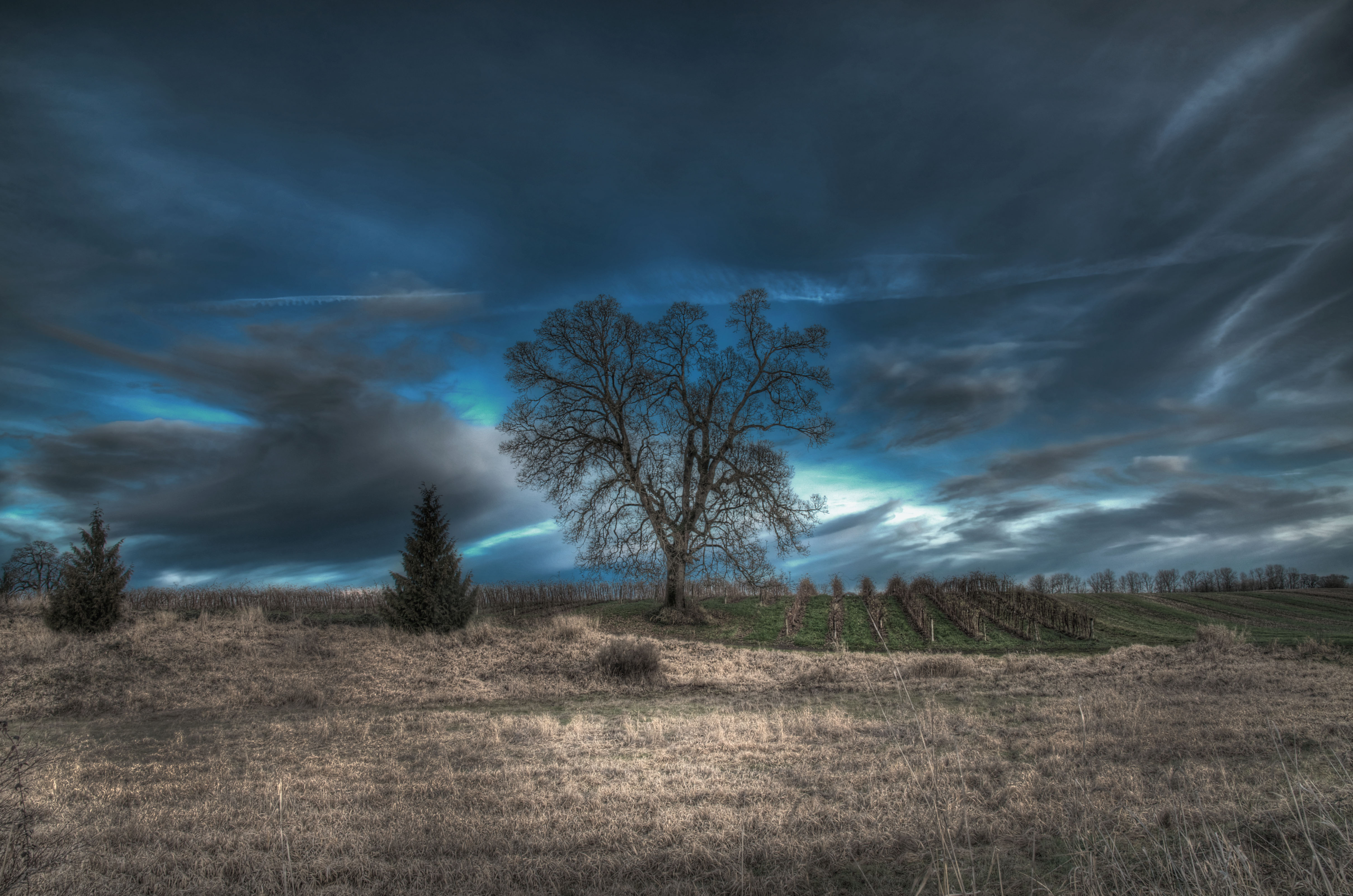
a great wind is blowing
Competing Interests

early morning arrival

Mt Hood
Topographic Map of NE 51st St, Vancouver, WA, USA
Find elevation by address:

Places near NE 51st St, Vancouver, WA, USA:
Minnehaha
4712 Ne 52nd Ave
4108 Ne 50th Ave
3703 Ne 51st St
4949 Ne St Johns Rd
Valero
Bagley Downs
Northeast Petticoat Lane
3409 Ne 62nd Ave
Utilities Department-vancouver
2204 Carlson Rd
2204 Carlson Rd
2204 Carlson Rd
Fourth Plain Village
2505 Neals Ln
Meadow Homes
3005 E 26th St
2415 E 33rd St
4708 Ne 22nd Ave
1442 Brandt Rd
Recent Searches:
- Elevation of Bernina Dr, Lake Arrowhead, CA, USA
- Elevation of N 82nd Pl, Mesa, AZ, USA
- Elevation of Snake Hill Rd, North Scituate, RI, USA
- Elevation of Lake Shore Dr, Warwick, RI, USA
- Elevation of E Brightview Ave, Pittsburgh, PA, USA
- Elevation of Cavendish Rd, Harringay Ladder, London N4 1RR, UK
- Elevation of 1 Zion Park Blvd, Springdale, UT, USA
- Elevation of Ganderbal
- Elevation map of Konkan Division, Maharashtra, India
- Elevation of Netaji Nagar, Hallow Pul, Kurla, Mumbai, Maharashtra, India