Elevation of NC-, Louisburg, NC, USA
Location: United States > North Carolina > Franklin County > Louisburg > Louisburg >
Longitude: -78.097282
Latitude: 36.1933006
Elevation: 81m / 266feet
Barometric Pressure: 100KPa
Elevation Map:
Satellite Map:
Related Photos:
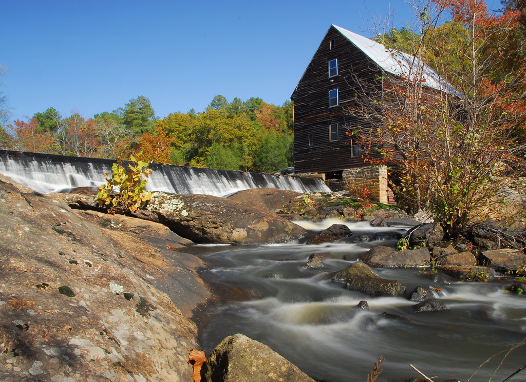
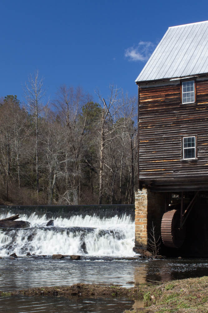
Laurel Mill
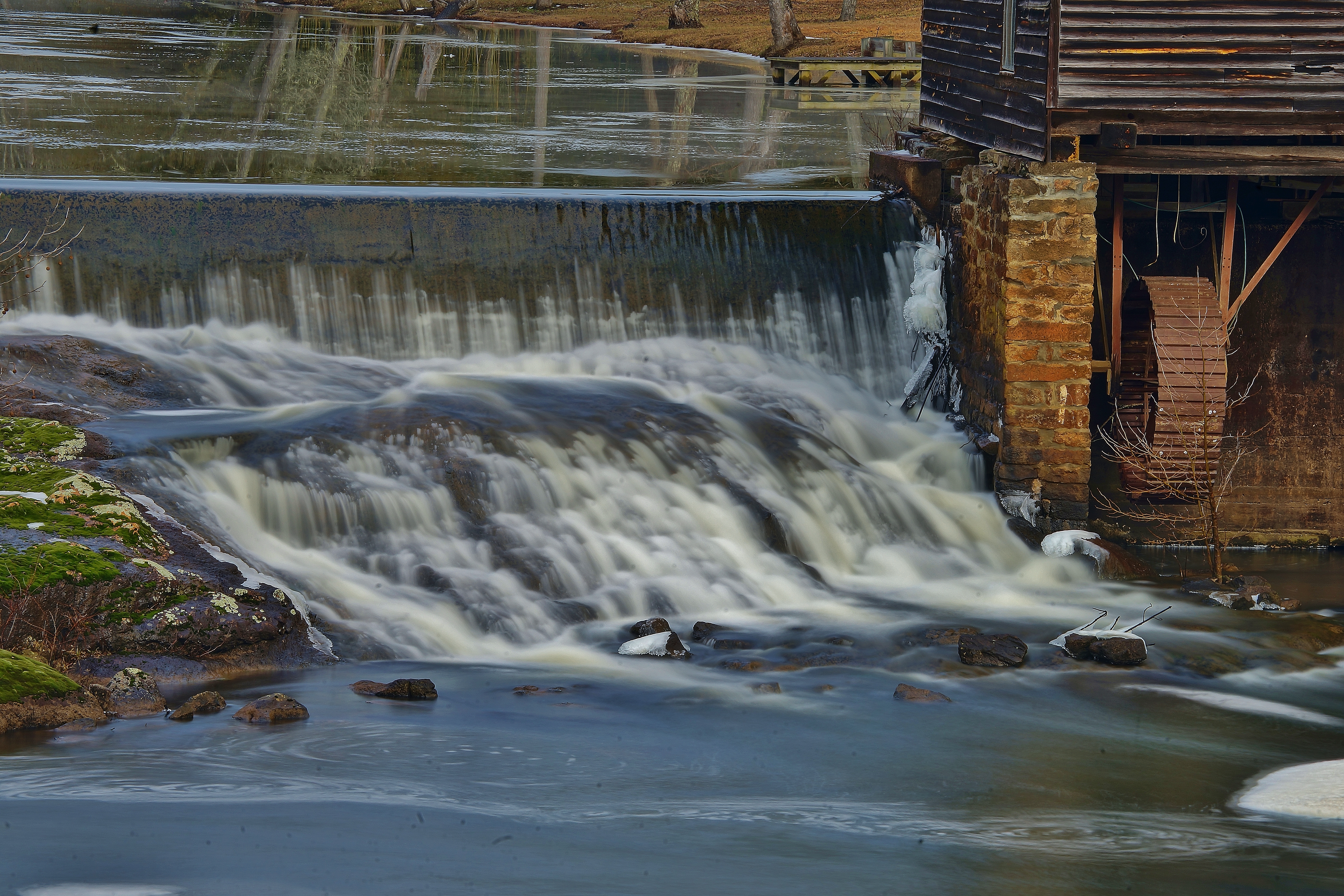
Spillway and wheel

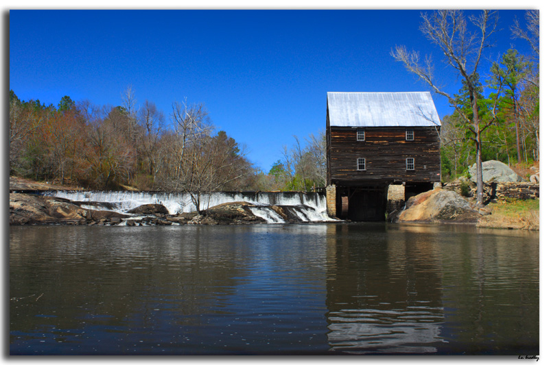
Old Grist Mill
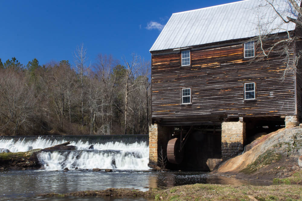
Laurel Mill
Laurel Mill
Laurel Mill
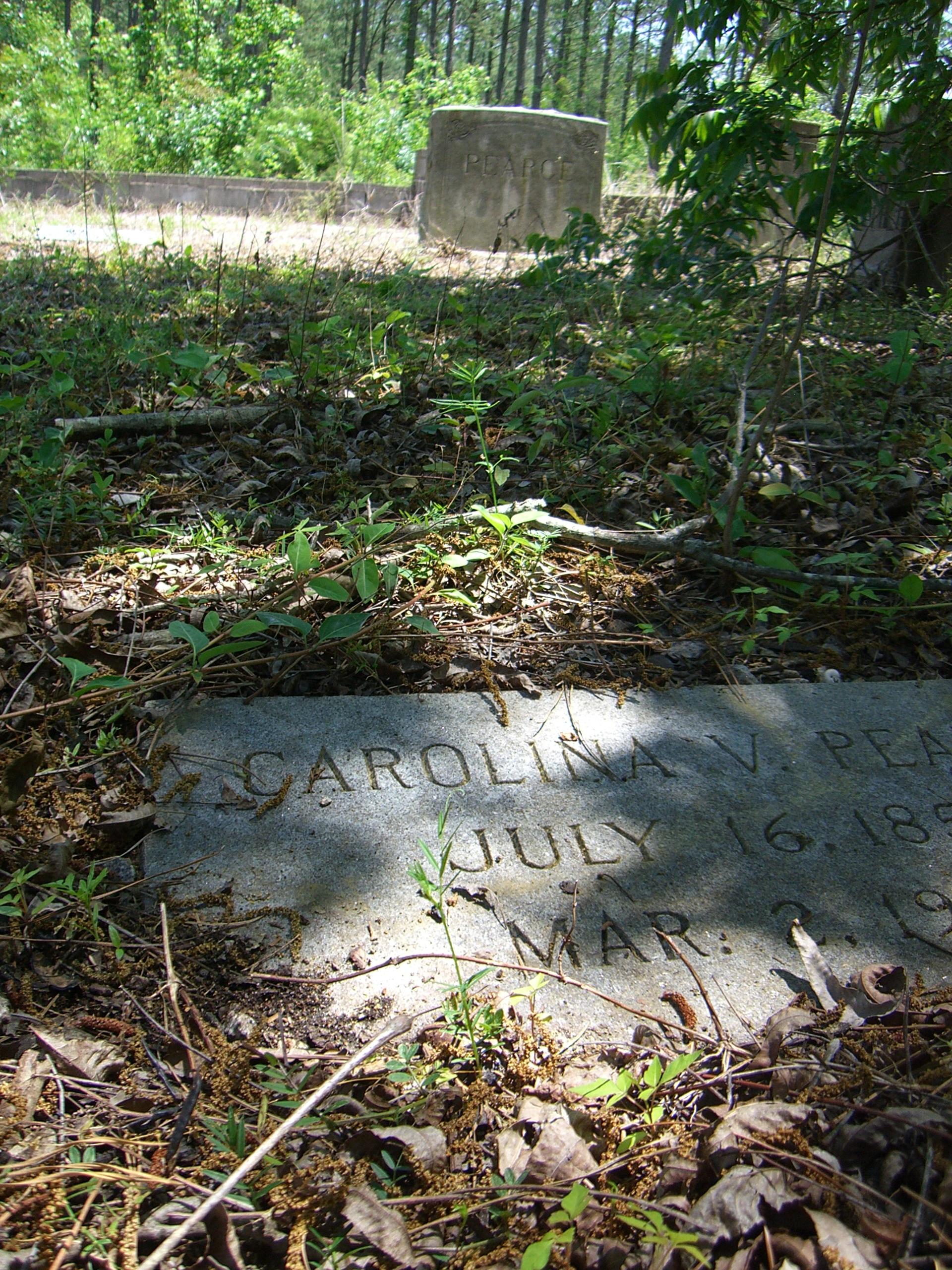
Carolina Virginia Gupton
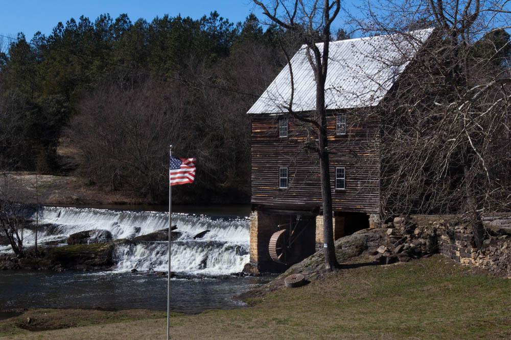
Laurel Mill
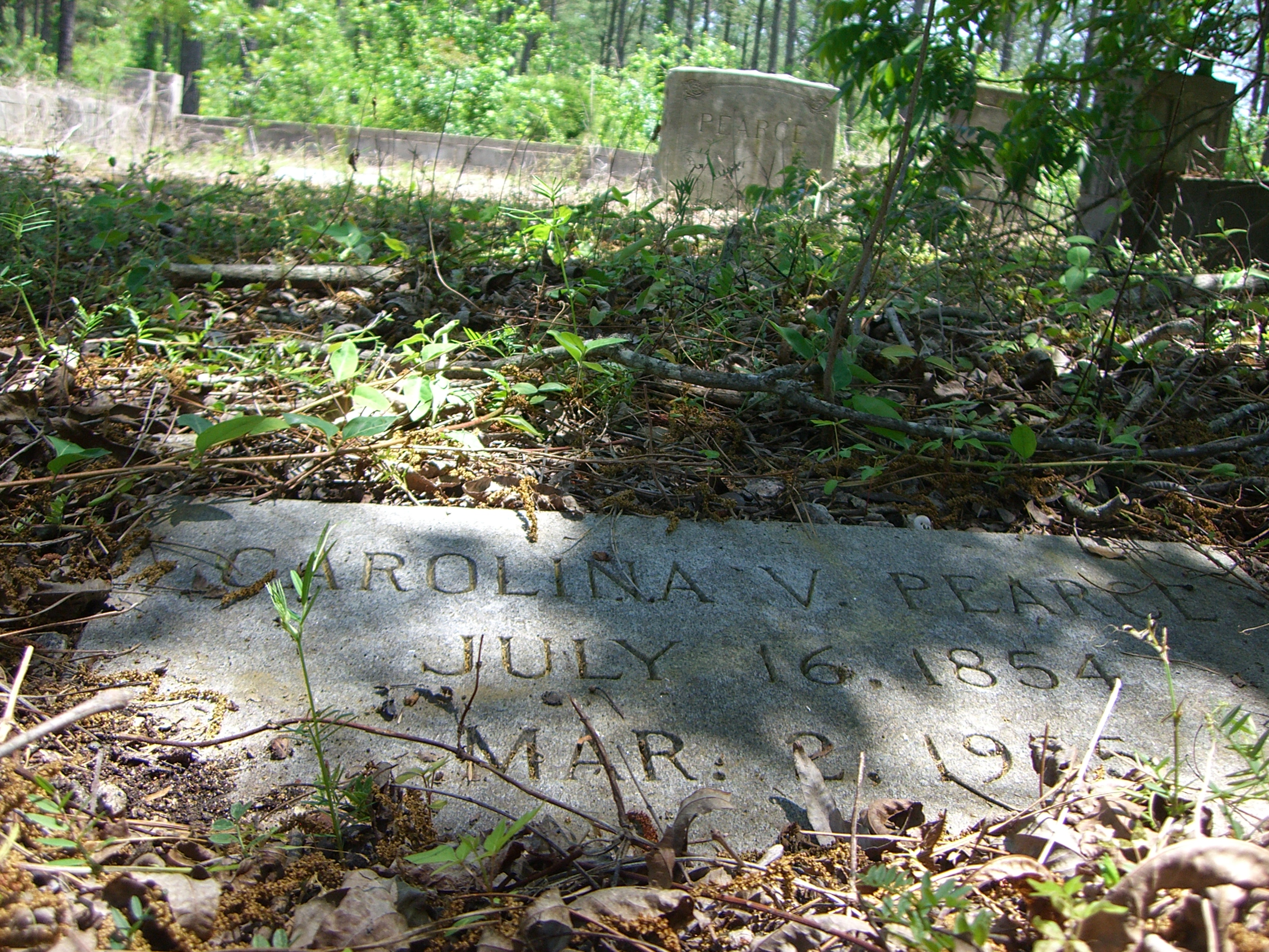
Carolina Virginia Gupton
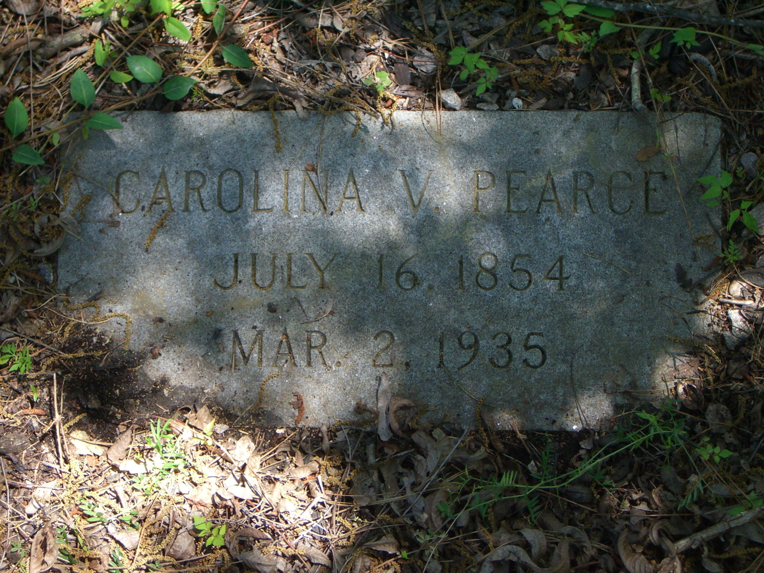
Carolina Virginia Gupton
140425-1483 White Level
Back at it! #nietokids #nieto #nietofamily #nietophotography #2014
Topographic Map of NC-, Louisburg, NC, USA
Find elevation by address:

Places near NC-, Louisburg, NC, USA:
NC-, Louisburg, NC, USA
Gold Mine
11 Pine Cone Ln
Castalia
Sandy Creek
Castalia
Race Track Rd, Castalia, NC, USA
Shocco
Warrenton, NC, USA
3 Evans Rd, Hollister, NC, USA
5868 Race Track Rd
Nc 56 Hwy E, Louisburg, NC, USA
136 Bluegrass Dr
NC-43, Whitakers, NC, USA
6300 Lancaster Store Rd
Hollister
Griffins
T K Allen Road
Edwards Rd, Spring Hope, NC, USA
133 Huford Harris Rd
Recent Searches:
- Elevation of Dog Leg Dr, Minden, NV, USA
- Elevation of Dog Leg Dr, Minden, NV, USA
- Elevation of Kambingan Sa Pansol Atbp., Purok 7 Pansol, Candaba, Pampanga, Philippines
- Elevation of Pinewood Dr, New Bern, NC, USA
- Elevation of Mountain View, CA, USA
- Elevation of Foligno, Province of Perugia, Italy
- Elevation of Blauwestad, Netherlands
- Elevation of Bella Terra Blvd, Estero, FL, USA
- Elevation of Estates Loop, Priest River, ID, USA
- Elevation of Woodland Oak Pl, Thousand Oaks, CA, USA