Elevation of NC-, Green Mountain, NC, USA
Location: United States > North Carolina > Mitchell County > Poplar >
Longitude: -82.336768
Latitude: 36.0874999
Elevation: 677m / 2221feet
Barometric Pressure: 93KPa
Elevation Map:
Satellite Map:
Related Photos:

203 walking down path to parking lot

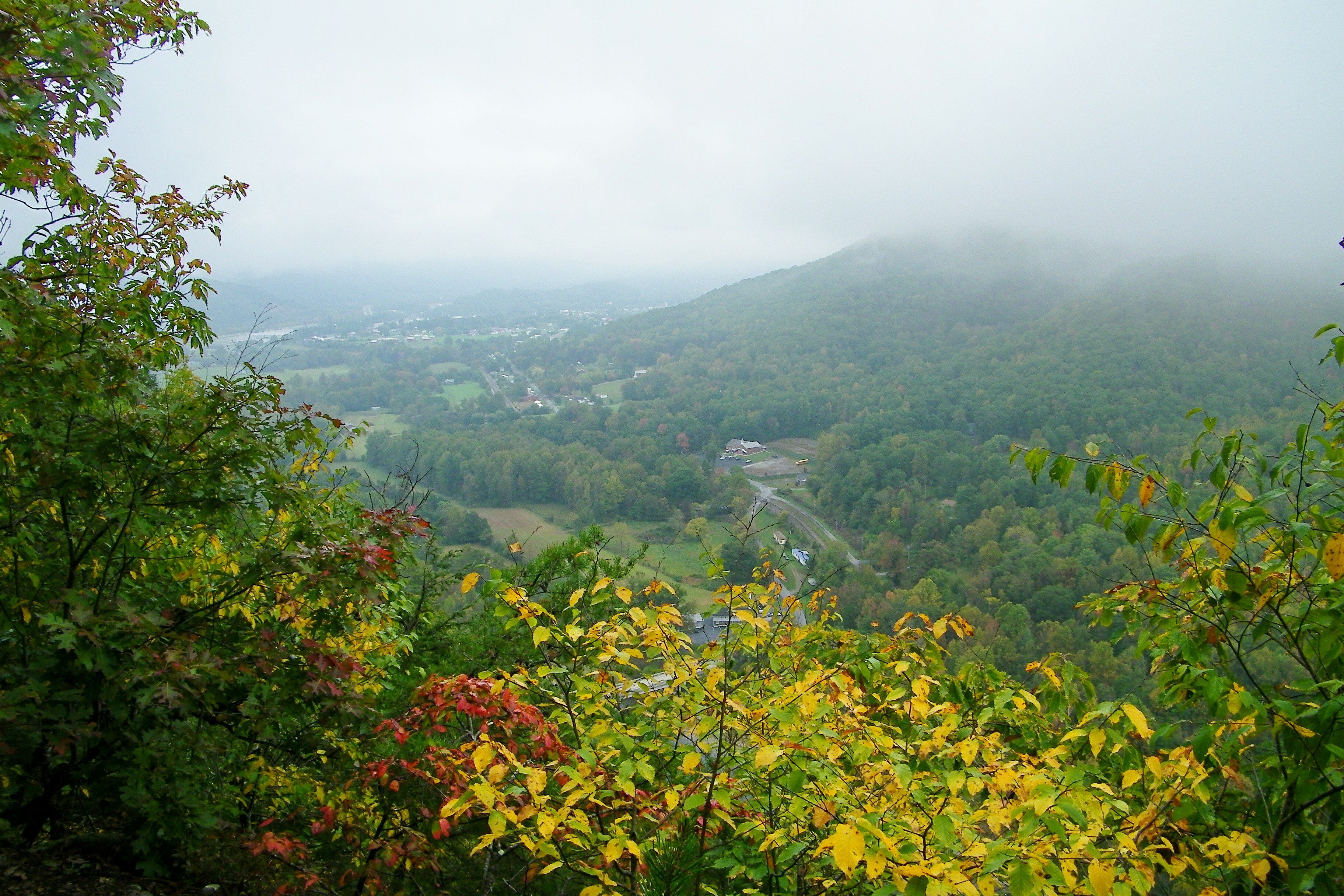
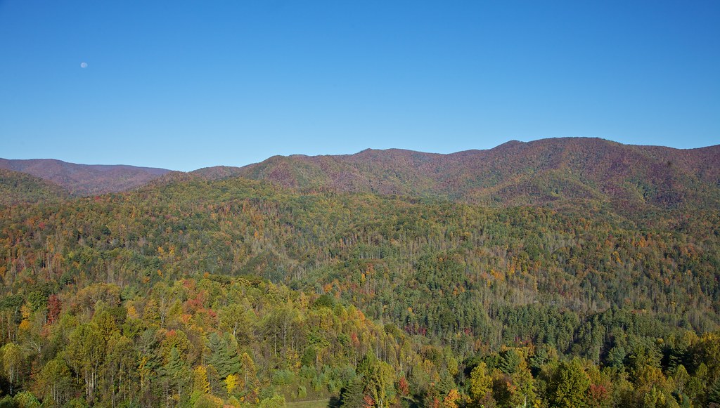
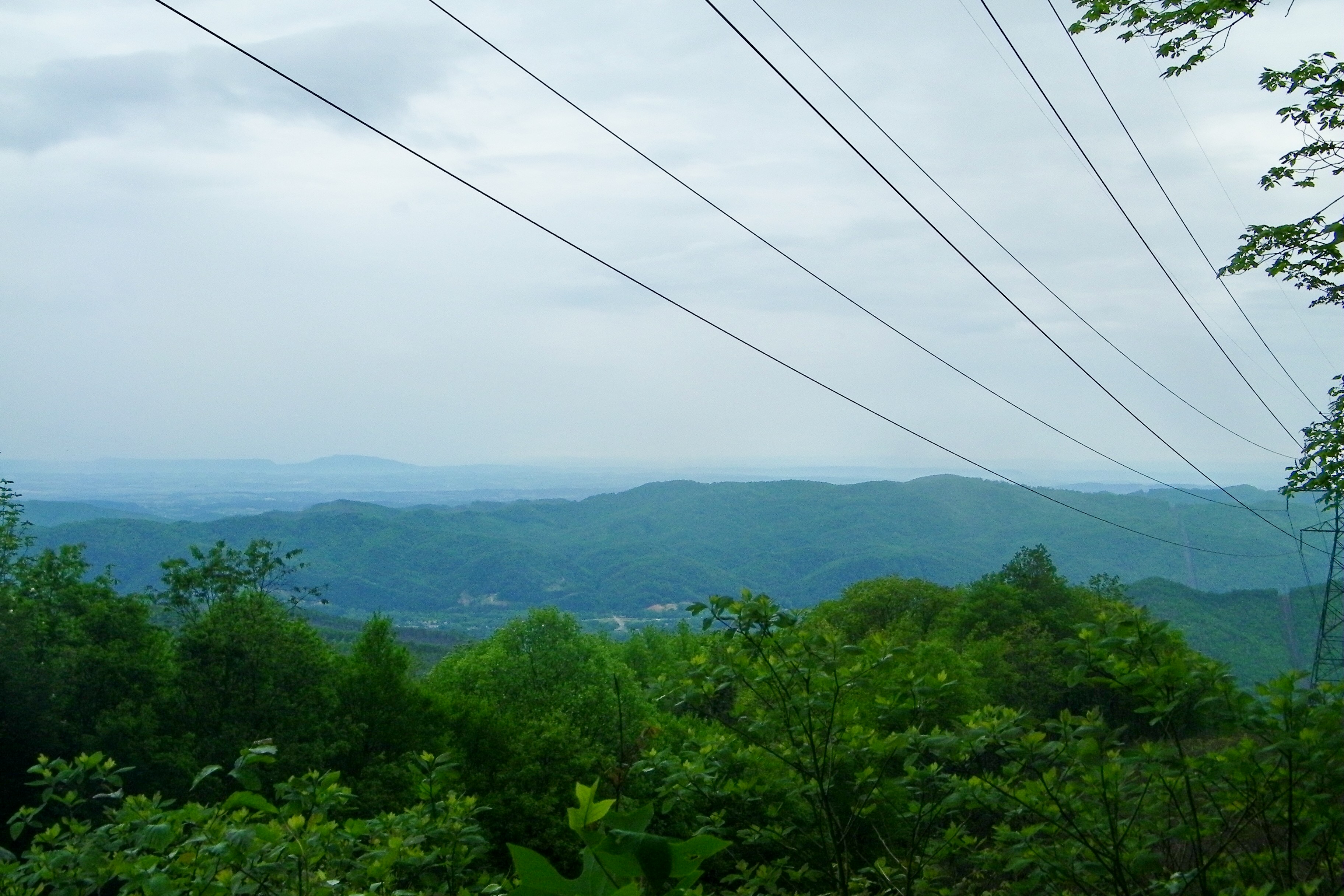
View from Beauty Spot

Pinnacle Mountain Fire Tower HDR Panorama
View-Top of Lost Cove

View from Beauty Spot

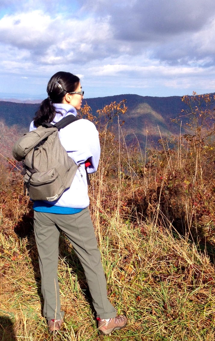
201 Claire on the trail

195 Trail to top of hill at rest stop in Tennessee
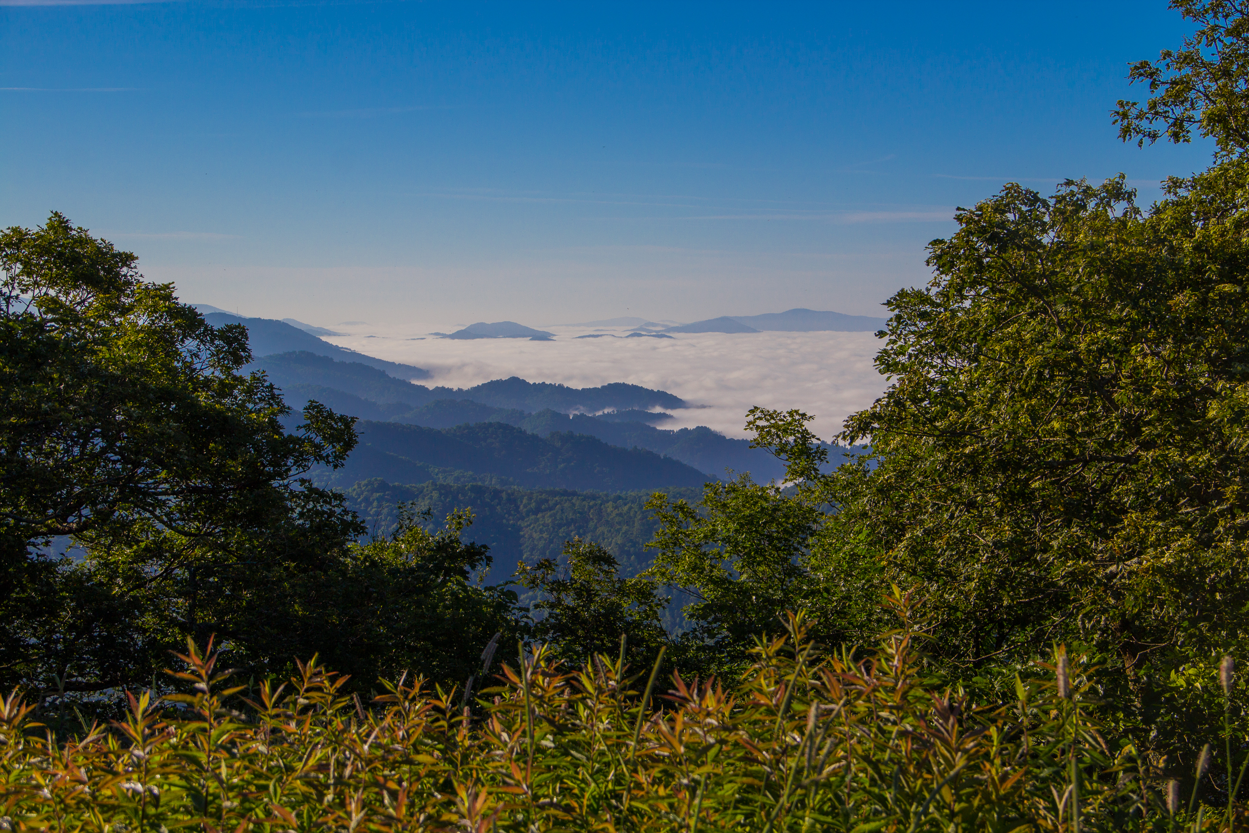
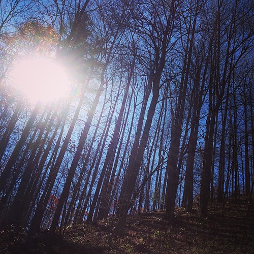
Fog Below Roan Mountain, Pisgah National Forest, North Carolina

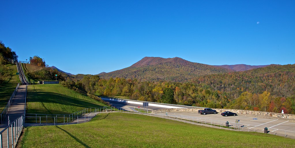
Pinnacle Tower HDR Panorama 2

View from Beauty Spot
Erwin, TN
Appalachian Trail

197 On the trail to the top
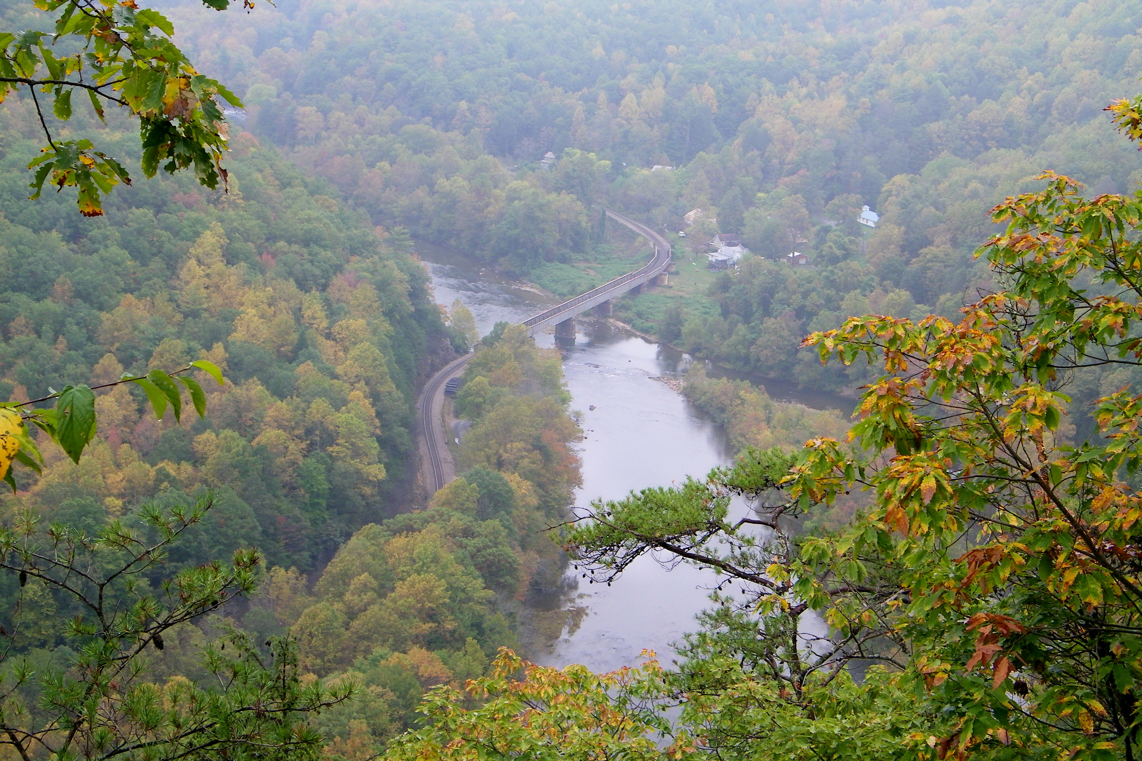
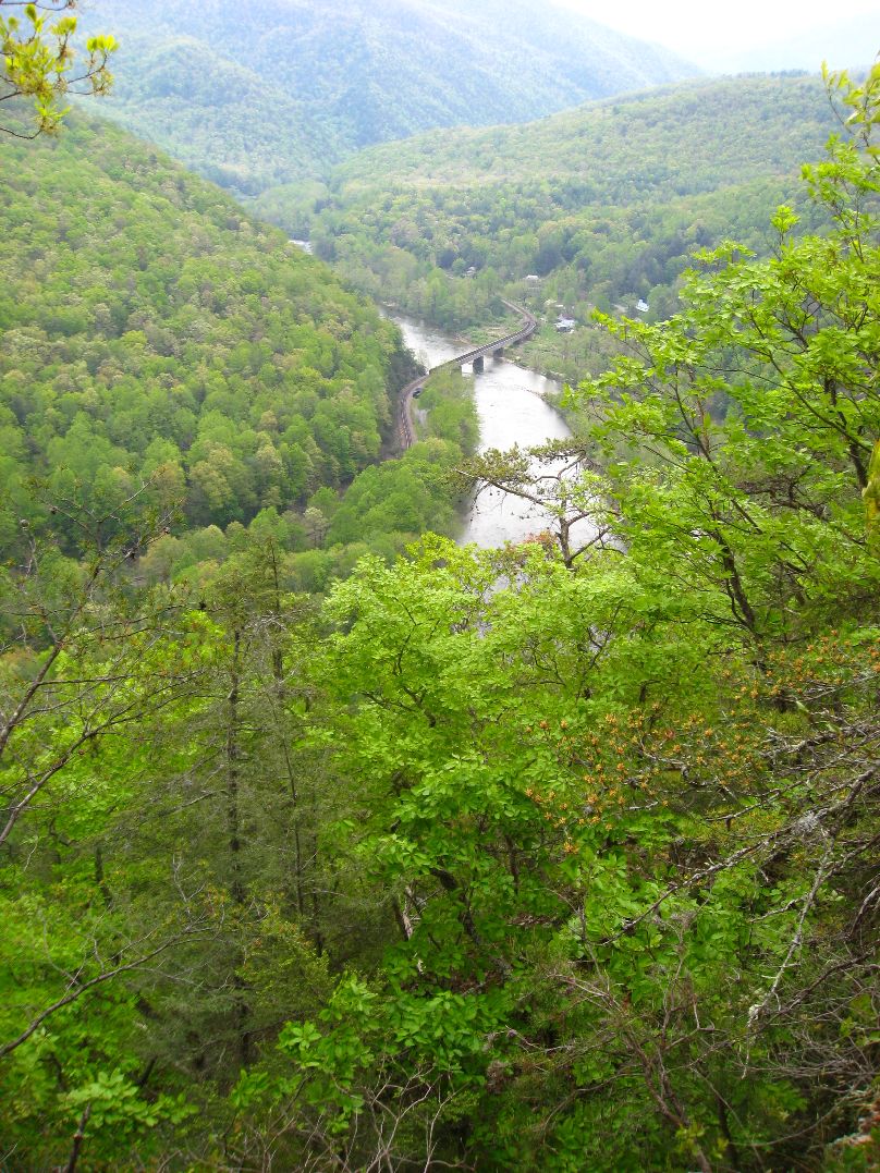
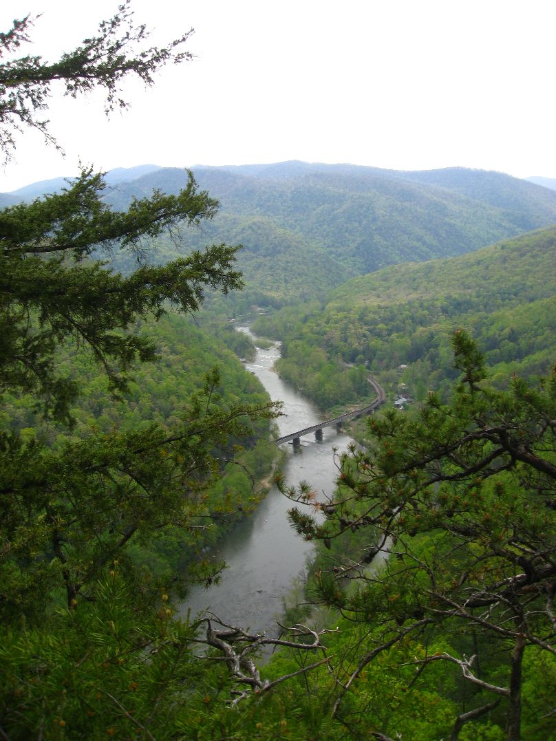
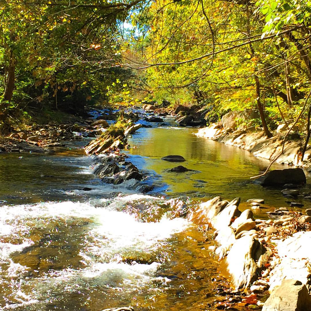
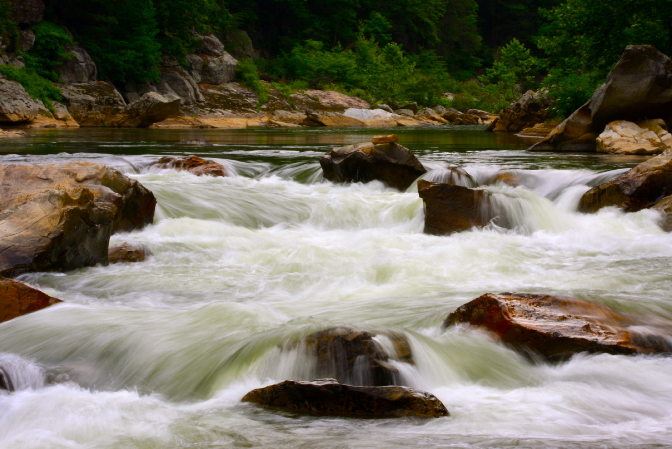
Railroad Trestle over the Nolichucky River
199 View top of the trail

20100424-131822
20100424-131516
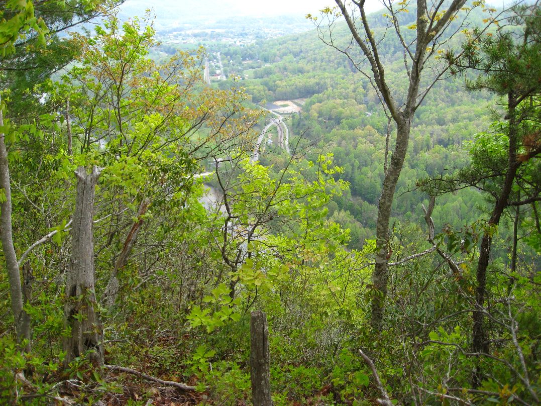
193 First Scenic Lookout on Hwy 26 East into Tenn
Appalachian Trail
20100424-132224
20100424-131824
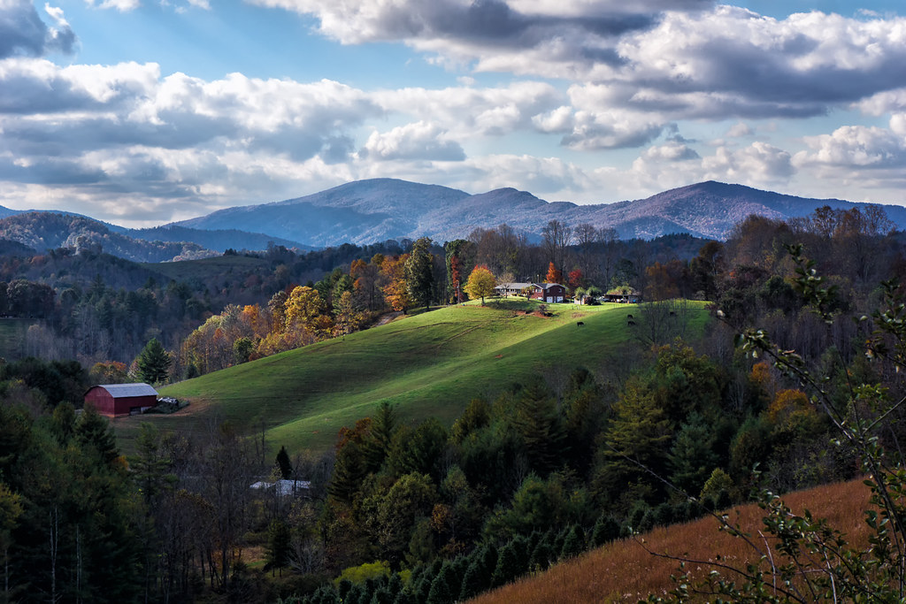
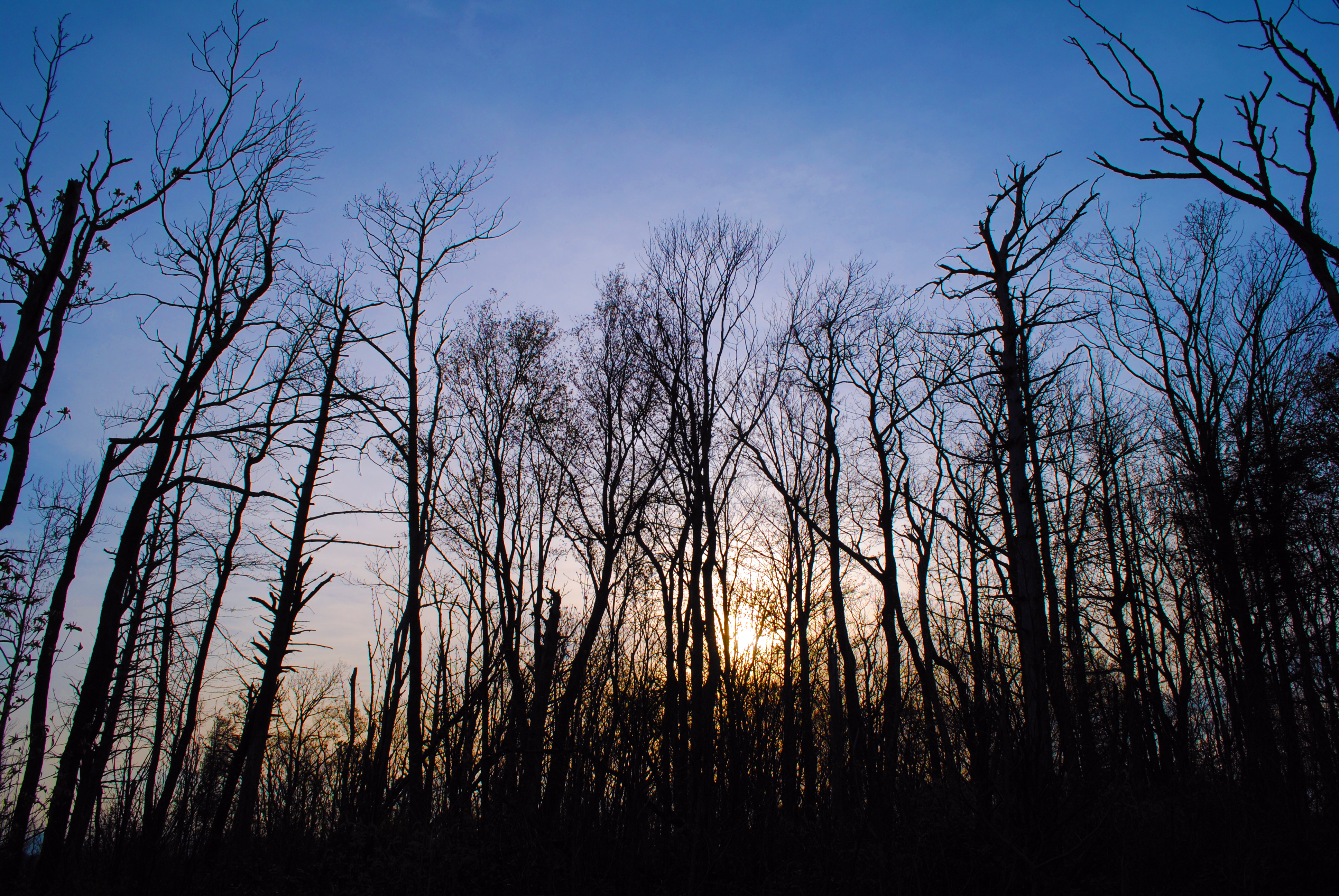
Light On The Hill: WNC
The light fades so quickly here at the farm in the winter. Soft light through bare trees, and peace. #nature #appalachia #riversongmountainsanctuary #wildkatuahhealingarts

WP_20141124_040.JPG
London would be proud

IMG_9063.JPG

Pete-WH6LE Heading to W4T/SU-025 - Little Bald Knob

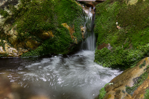
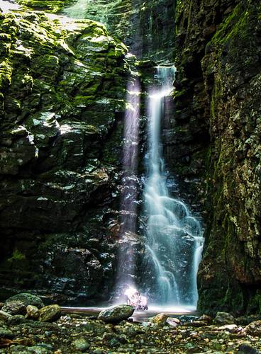
Red Fork Falls
Rock Creek Hike
#Nolichucky #Unicoi #erwin #unicoicounty
Rock Creek Hike

Rock Creek Hike

#firetower #pinnacle #Unicoi #forecast #weatherforecast
rafting Nolichucky River Gwen Fred Sam Rhett Nantahala Outdoor Center Erwin TN 07-30-2012
Rock Creek Hike
Clear Fork Creek

#park #erwinlineartrail #fall #leaves #erwin
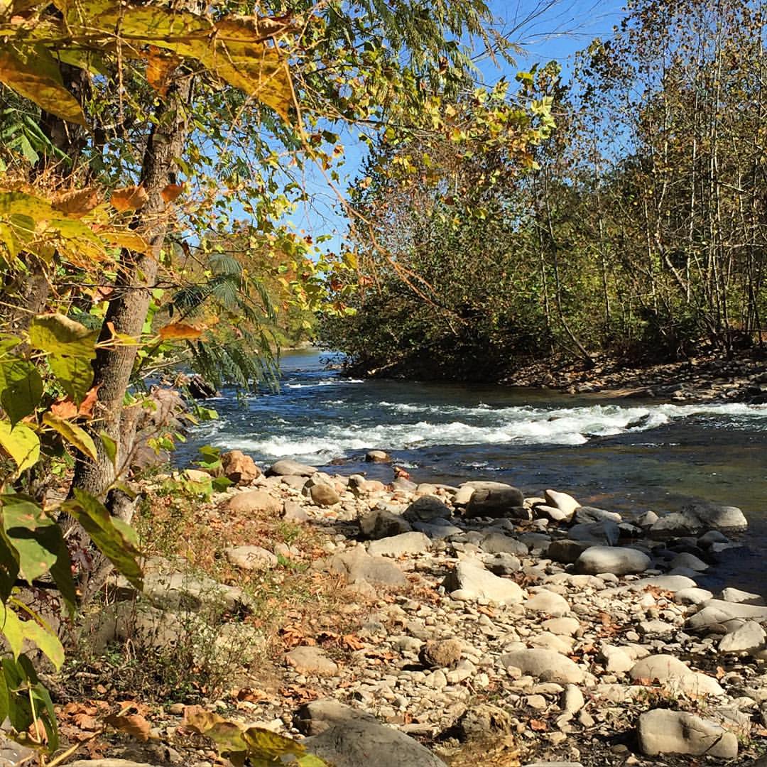
#Nolichucky #Unicoi #erwin #unicoicounty
Topographic Map of NC-, Green Mountain, NC, USA
Find elevation by address:

Places near NC-, Green Mountain, NC, USA:
10936 Nc-197
10936 Nc-197
10936 Nc-197
Poplar
13791 Nc-197
11964 Nc-197
Honeycutt Lane
Poplar
305 Pound Mill Br Rd
288 Flat Br Rd
288 Flat Br Rd
288 Flat Br Rd
Pound Mill Bridge Road
10129 Nc-197
Greenbriar Lane
Sams Branch
9727 Nc-197
351 Pate Creek Rd
Sams Bridge Road
786 Sams Br Rd
Recent Searches:
- Elevation of East W.T. Harris Boulevard, E W.T. Harris Blvd, Charlotte, NC, USA
- Elevation of West Sugar Creek, Charlotte, NC, USA
- Elevation of Wayland, NY, USA
- Elevation of Steadfast Ct, Daphne, AL, USA
- Elevation of Lagasgasan, X+CQH, Tiaong, Quezon, Philippines
- Elevation of Rojo Ct, Atascadero, CA, USA
- Elevation of Flagstaff Drive, Flagstaff Dr, North Carolina, USA
- Elevation of Avery Ln, Lakeland, FL, USA
- Elevation of Woolwine, VA, USA
- Elevation of Lumagwas Diversified Farmers Multi-Purpose Cooperative, Lumagwas, Adtuyon, RV32+MH7, Pangantucan, Bukidnon, Philippines