Elevation of NC-, Bear Creek, NC, USA
Location: United States > North Carolina > Chatham County > Gulf > Bear Creek >
Longitude: -79.345268
Latitude: 35.645179
Elevation: 158m / 518feet
Barometric Pressure: 99KPa
Elevation Map:
Satellite Map:
Related Photos:

Unseen railroading

A room with a view

Deep River Park Gulf NC 6026
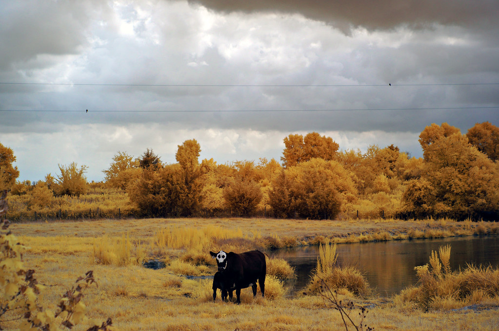
Kodama Kow

When the city that never sleeps sleeps

Storm Cell

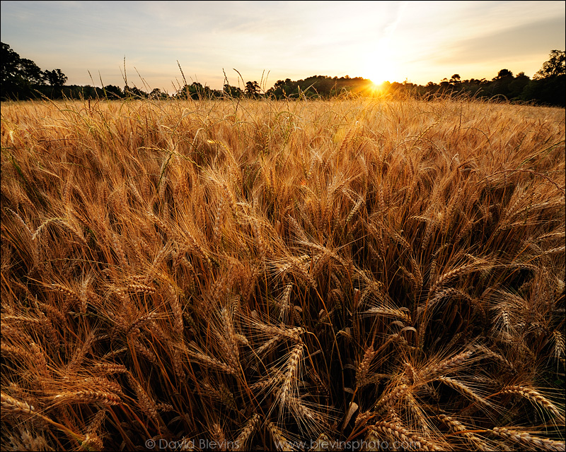
Fields of Gold

HDR Silo

Deep River Park Gulf NC 6039

Deep River Park Gulf NC 6038

McIver Landing Deep River Gulf NC 6053

McIver Landing Deep River Gulf NC 6059
Devil's Stompin' Ground Scenic Byway

McIver Landing Deep River Gulf NC 6058

Deep River

Devil's Stompin' Ground Scenic Byway

Quercus falcata

Ayrshire Farm TLC Pittsboro NC 1771
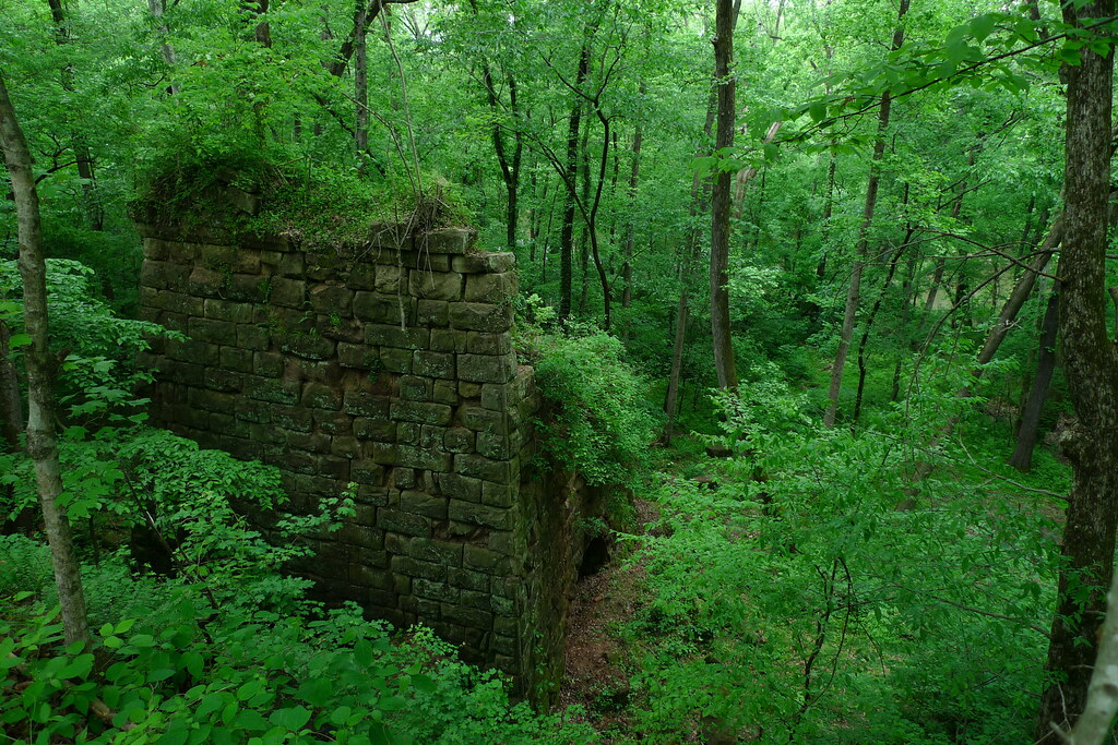
Endor Iron Furnace

Devil's Stompin' Ground Scenic Byway

Deep River Park Gulf NC 6028

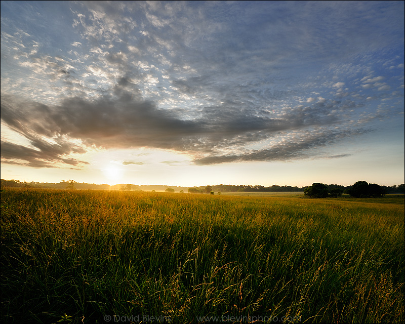
roadside wildflowers
Devil's Stompin' Ground Scenic Byway
Topographic Map of NC-, Bear Creek, NC, USA
Find elevation by address:

Places near NC-, Bear Creek, NC, USA:
48 Mark Willett Rd
13489 Nc-902
Bear Creek
Gulf
NC-, Bear Creek, NC, USA
1347 Vander Oldham Rd
Fayetteville Rd, Siler City, NC, USA
925 Lakewood Falls Rd
788 Holly Ridge Rd
Oakland
Herring Path
Cumnock Rd, Sanford, NC, USA
Walter Bright Rd, Sanford, NC, USA
Big Buffalo Creek
444 State Rd 1466
627 Thomas Williams Rd
Enterprise Park Drive
3472 Deep River Rd
2729 Waters Edge Dr
Post Office Rd, Sanford, NC, USA
Recent Searches:
- Elevation of 3 Nestling Wood Dr, Long Valley, NJ, USA
- Elevation of Ilungu, Tanzania
- Elevation of Yellow Springs Road, Yellow Springs Rd, Chester Springs, PA, USA
- Elevation of Rēzekne Municipality, Latvia
- Elevation of Plikpūrmaļi, Vērēmi Parish, Rēzekne Municipality, LV-, Latvia
- Elevation of 2 Henschke Ct, Caboolture QLD, Australia
- Elevation of Redondo Ave, Long Beach, CA, USA
- Elevation of Sadovaya Ulitsa, 20, Rezh, Sverdlovskaya oblast', Russia
- Elevation of Ulitsa Kalinina, 79, Rezh, Sverdlovskaya oblast', Russia
- Elevation of 72-31 Metropolitan Ave, Middle Village, NY, USA