Elevation of NC-55, Dover, NC, USA
Location: United States > North Carolina > Craven County > > Dover >
Longitude: -77.339352
Latitude: 35.292557
Elevation: 13m / 43feet
Barometric Pressure: 101KPa
Elevation Map:
Satellite Map:
Related Photos:
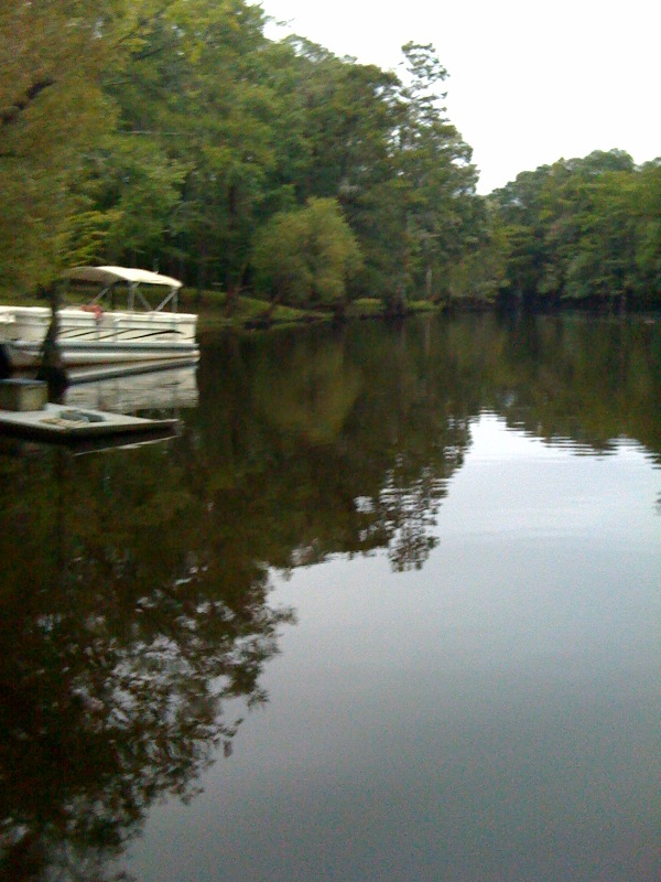
Neuse River Expedition Finished
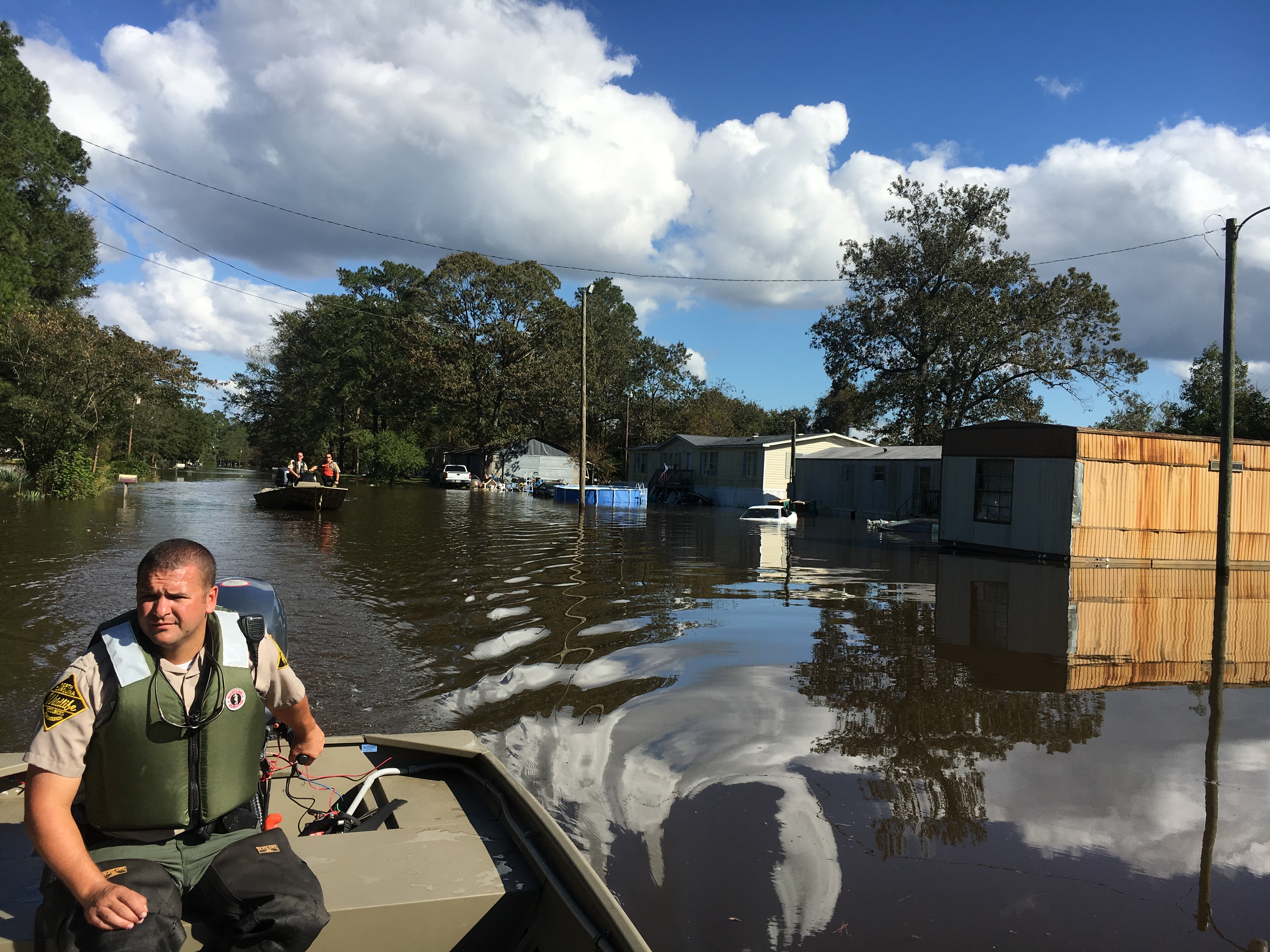
Hurricane Matthew Relief Efforts
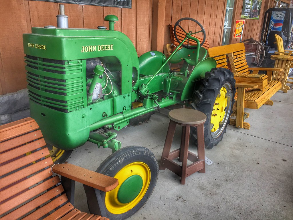
VINTAGE JOHN DEERE WITH RARE WOODEN SIDECAR
Topographic Map of NC-55, Dover, NC, USA
Find elevation by address:

Places near NC-55, Dover, NC, USA:
Fort Barnwell
9040 Nc-55
585 Core Creek Landing Road
7549 Nc-55
240 Quinn Rd
1090 Wintergreen Rd
Cove City
W Sunset Blvd, Cove City, NC, USA
Cove City Free Will Baptist
170 Willis Rd
113 Trenton Rd
5396 Nc-55
194 Ralph Ln
113 Turkey Quarter Creek Rd
123 Turkey Quarter Creek Rd
2315 State Rd 1401
Sim Dawson Rd, New Bern, NC, USA
3765 Nc-55
1, NC, USA
9, NC, USA
Recent Searches:
- Elevation of AMELIA CT HSE, VA, USA
- Elevation of Abbey Dr, Virginia Beach, VA, USA
- Elevation of Brooks Lp, Spearfish, SD, USA
- Elevation of Panther Dr, Maggie Valley, NC, USA
- Elevation of Jais St - Wadi Shehah - Ras al Khaimah - United Arab Emirates
- Elevation of Shawnee Avenue, Shawnee Ave, Easton, PA, USA
- Elevation of Scenic Shore Dr, Kingwood Area, TX, USA
- Elevation of W Prive Cir, Delray Beach, FL, USA
- Elevation of S Layton Cir W, Layton, UT, USA
- Elevation of F36W+3M, Mussoorie, Uttarakhand, India