Elevation of NC-49, Denton, NC, USA
Location: United States > North Carolina > Randolph County > New Hope >
Longitude: -80.020577
Latitude: 35.6094113
Elevation: 168m / 551feet
Barometric Pressure: 99KPa
Elevation Map:
Satellite Map:
Related Photos:
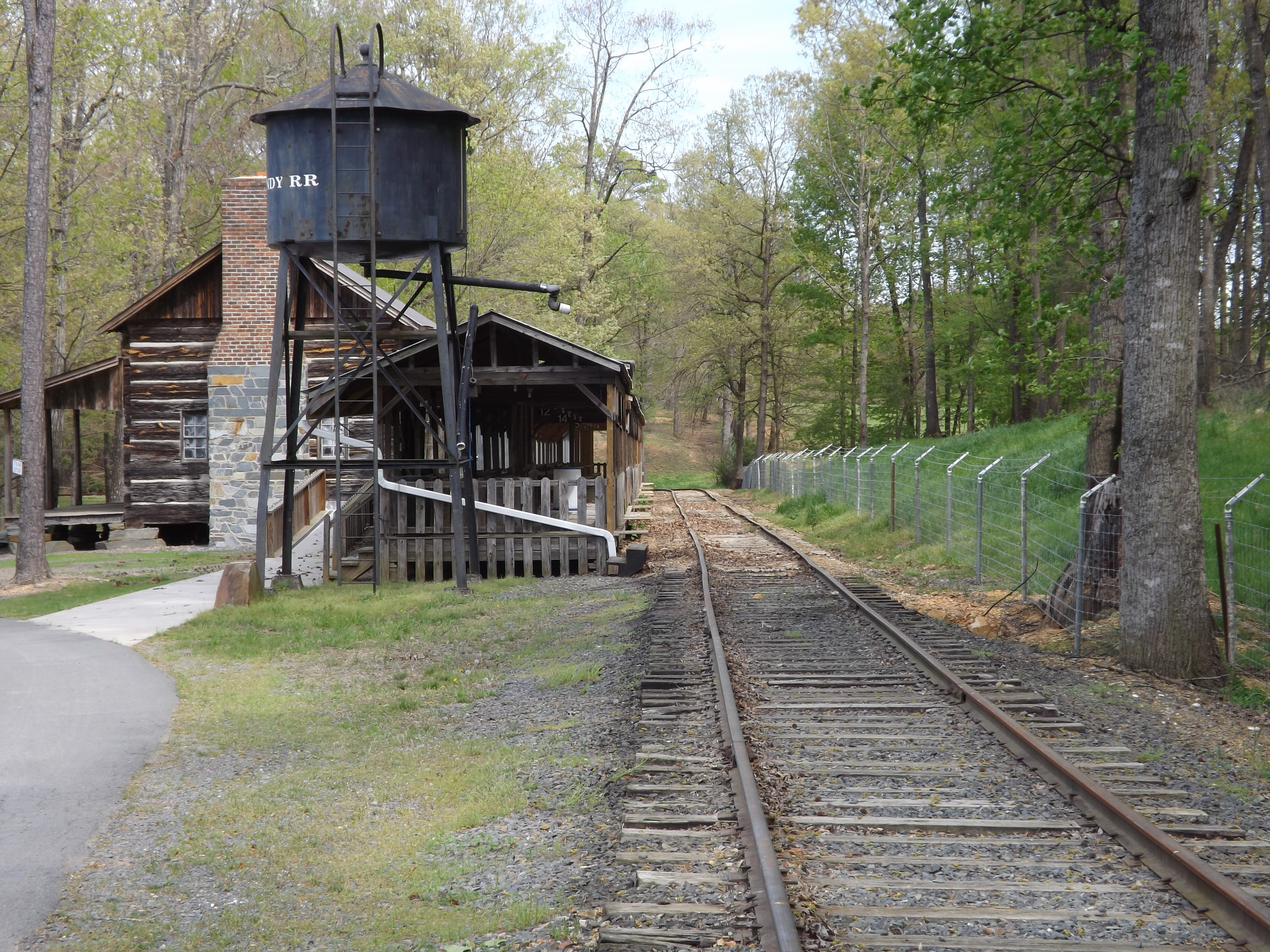
Quiet Station
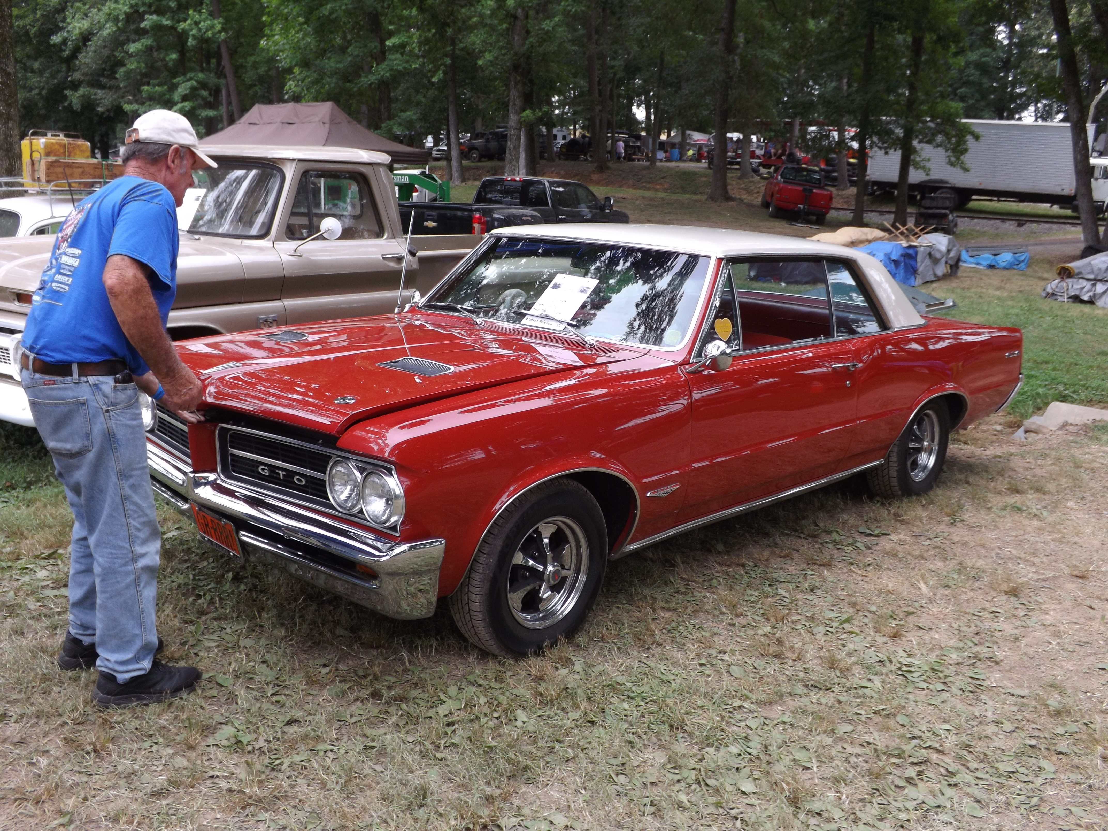
1964 Pontiac Lemans GTO

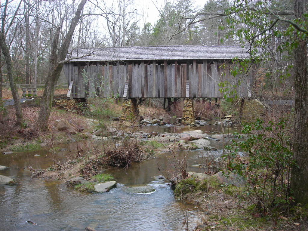
Single Lane Bridge over Uwharrie River
Uwharrie Scenic Road

p13 - ready to ski for the first time - crop

389 cu. in with tripower
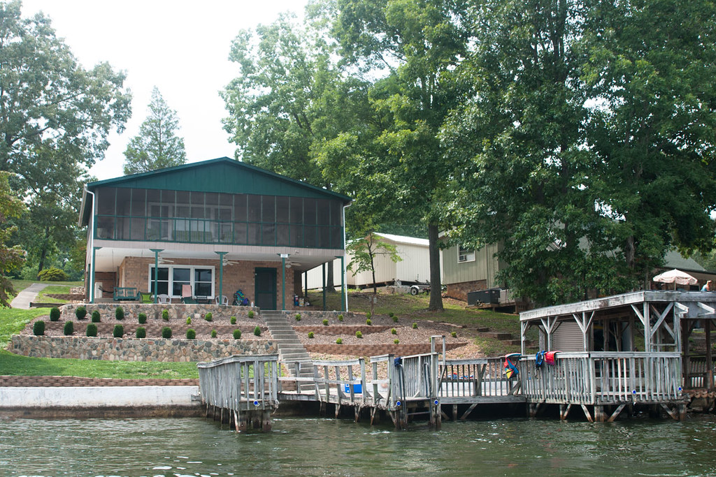
View of the Lake House from the Water
Barnes Creek from Jumping Off Rock
Views ???? - NC #Pisgah #NorthCarolina #USA #
High Rock Lake

local trek

Conor Rowland did a great job on our new dog playground area! He and Morgan Mattern are doing landscaping work through the Triad.

staking territory

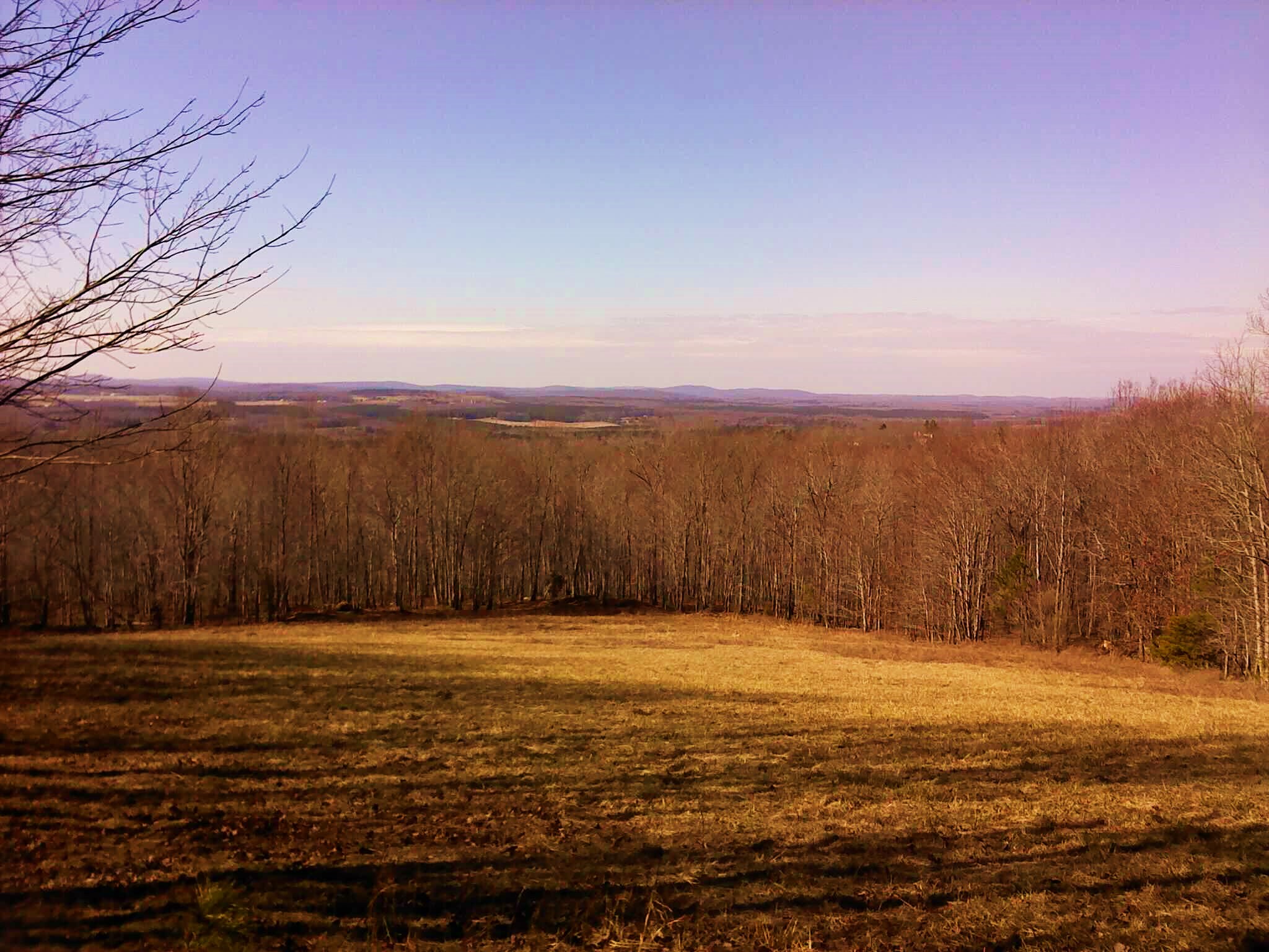
When the drive ends
Forgotten but not gone

DCIM22[N3550574W07995182T3FC6433BH00EA8A]

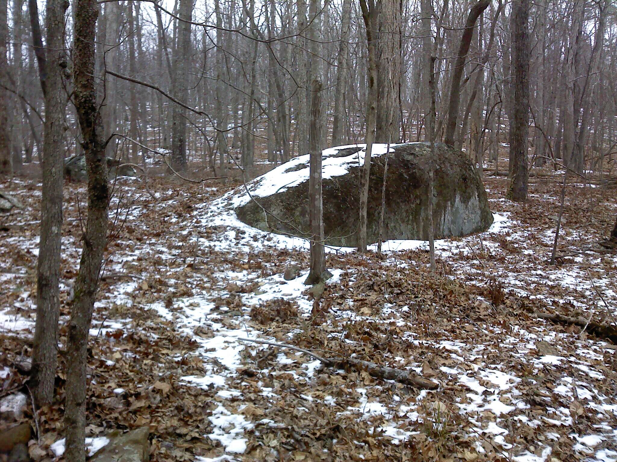
Old Barn
DCIM45[N3555350W07994723T420A62B0H00F9B3]
DCIM1[N3561558W07989778T4213655FH0113EF]

Evan took the row boat today and ended up catching a few bass while trolling
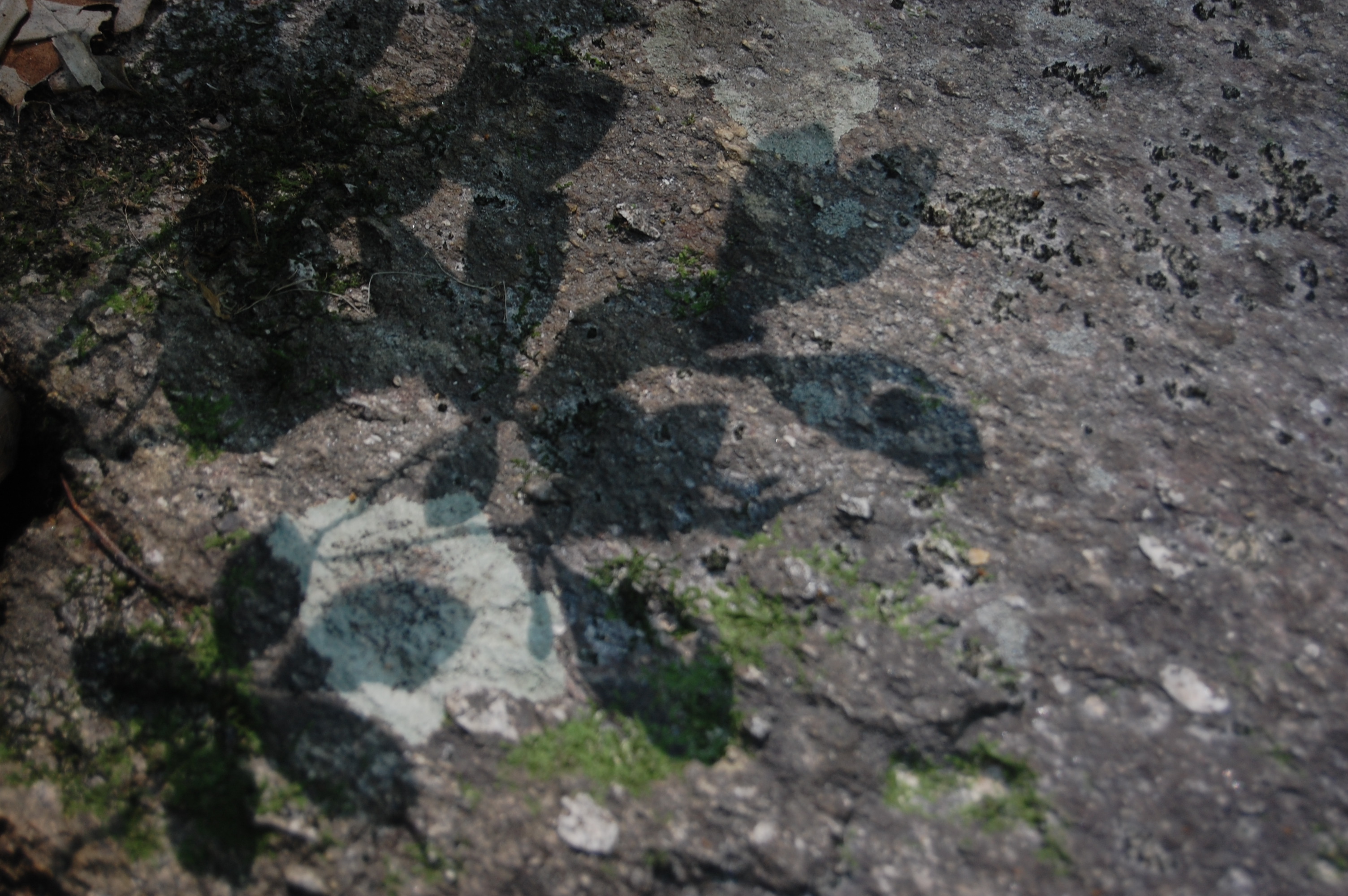
Shadows and lichen on metavolcanic rock
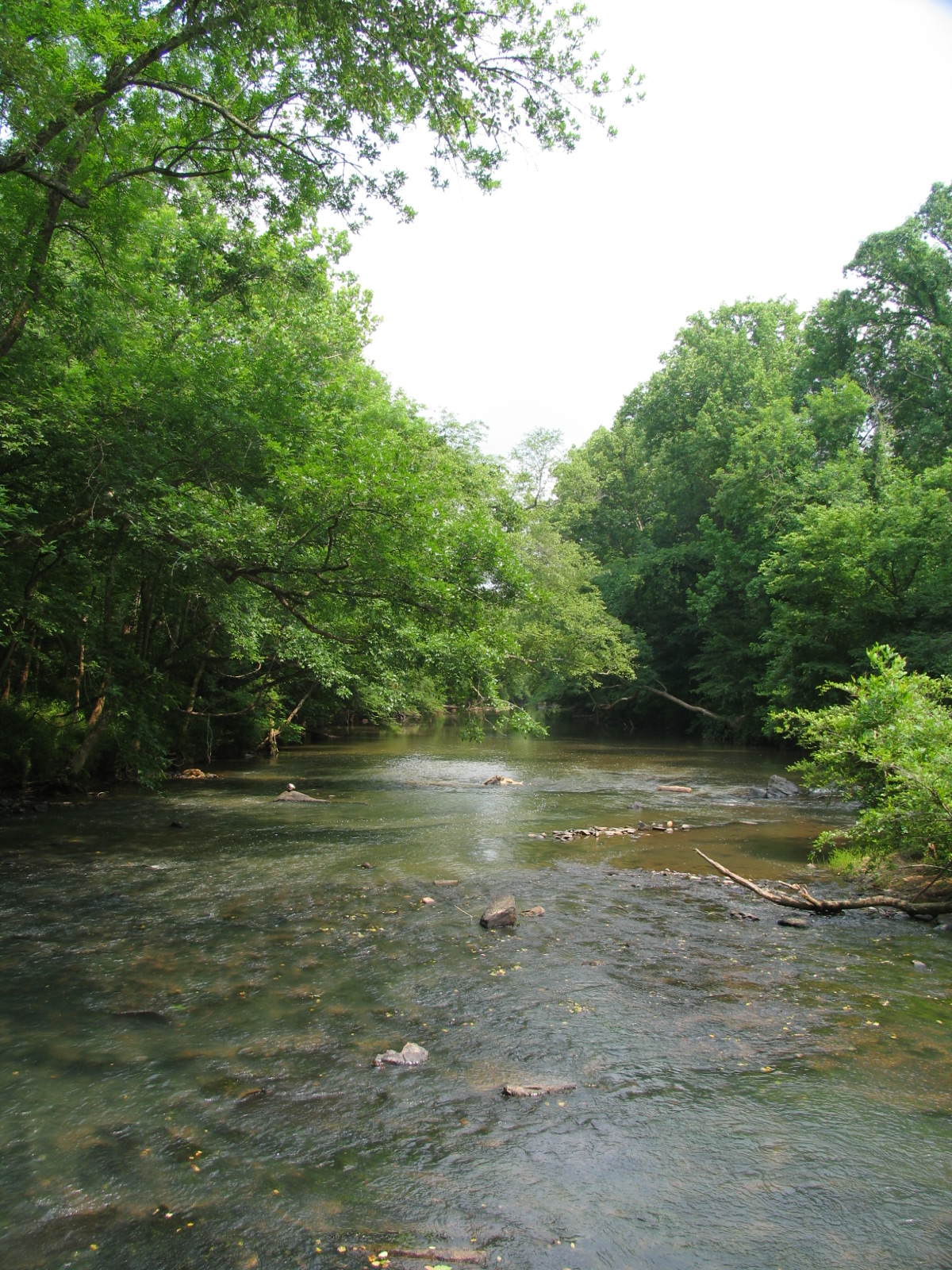
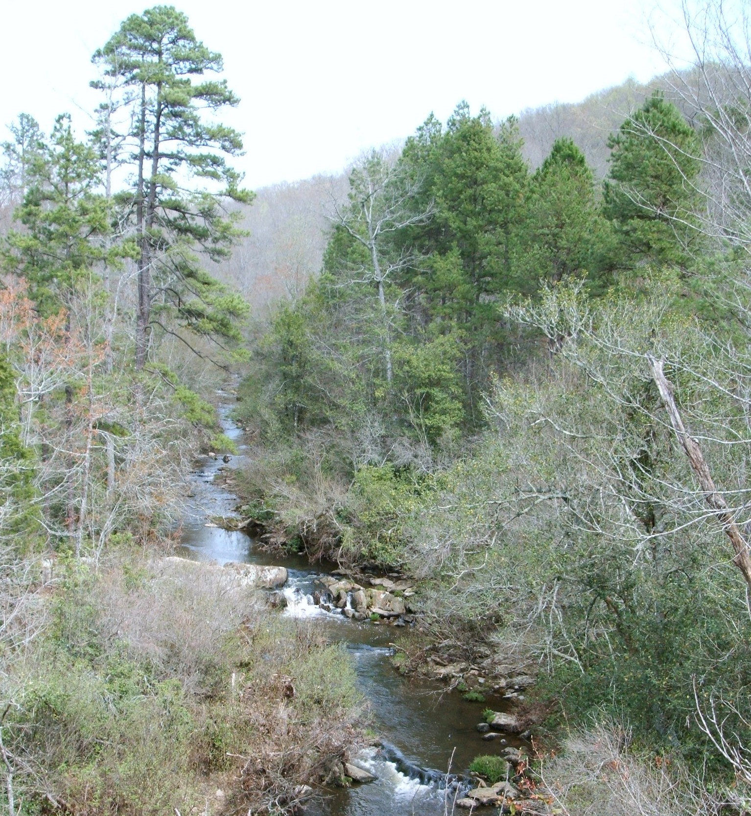
Uwharrie River
011607 1079
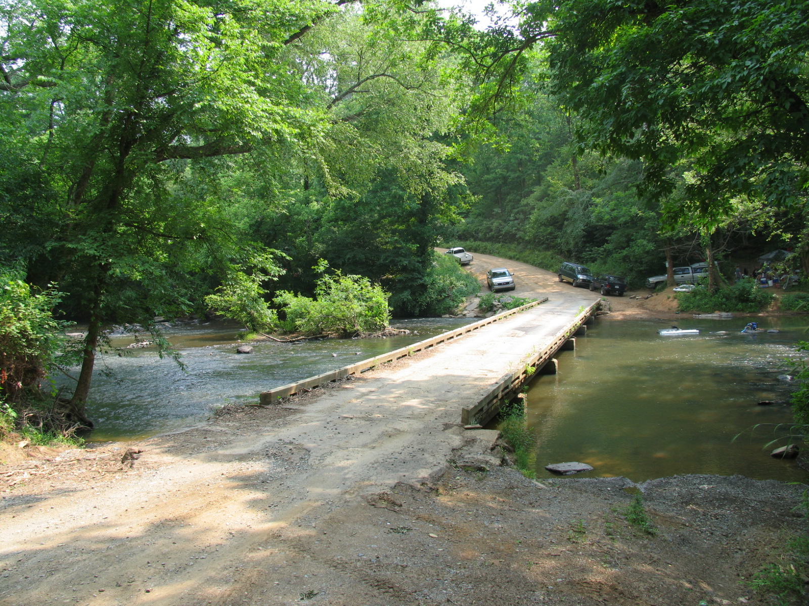
Dirt Road - One Lane Bridge...what else do you need?

011607 1076
Topographic Map of NC-49, Denton, NC, USA
Find elevation by address:

Places near NC-49, Denton, NC, USA:
Uwharrie River
Garner Lane
Waynick Meadow Road
New Hope
19853 S Nc Highway 109
Jackson Hill
W Salisbury St, Denton, NC, USA
Denton
149 Appaloosa Trail
Appaloosa Trail
610 Thayer Rd
Coggins Mine Rd, Troy, NC, USA
187 Low Water Bridge Rd
Alleghany
Cedar Grove
8030 E Old Us Highway 64
301 Mose Glover Rd
Union
Emmons
Arrowstone Drive
Recent Searches:
- Elevation of Holloway Ave, San Francisco, CA, USA
- Elevation of Norfolk, NY, USA
- Elevation of - San Marcos Pass Rd, Santa Barbara, CA, USA
- Elevation of th Pl SE, Issaquah, WA, USA
- Elevation of 82- D Rd, Captain Cook, HI, USA
- Elevation of Harlow CM20 2PR, UK
- Elevation of Shenyang Agricultural University, Dong Ling Lu, Shen He Qu, Shen Yang Shi, Liao Ning Sheng, China
- Elevation of Alpha Dr, Melbourne, FL, USA
- Elevation of Hiroshima University, 1-chōme-3-2 Kagamiyama, Higashihiroshima, Hiroshima -, Japan
- Elevation of Bernina Dr, Lake Arrowhead, CA, USA