Elevation of NB-, Williamstown, NB E7K 1S3, Canada
Location: Canada > New Brunswick > Carleton County > Wilmot > Williamstown >
Longitude: -67.701844
Latitude: 46.3872536
Elevation: 132m / 433feet
Barometric Pressure: 100KPa
Elevation Map:
Satellite Map:
Related Photos:
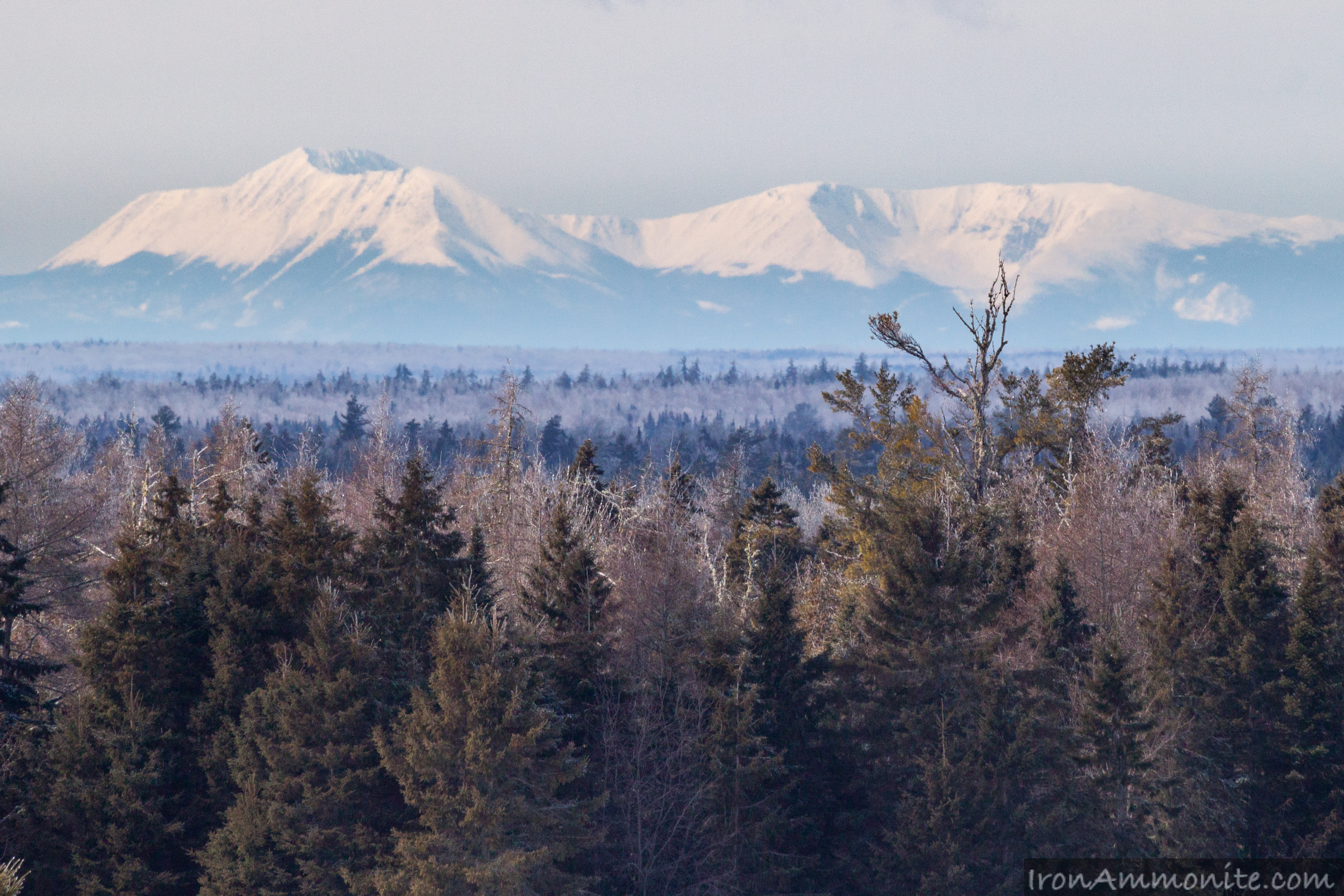
Mount Katahdin view-2.jpg
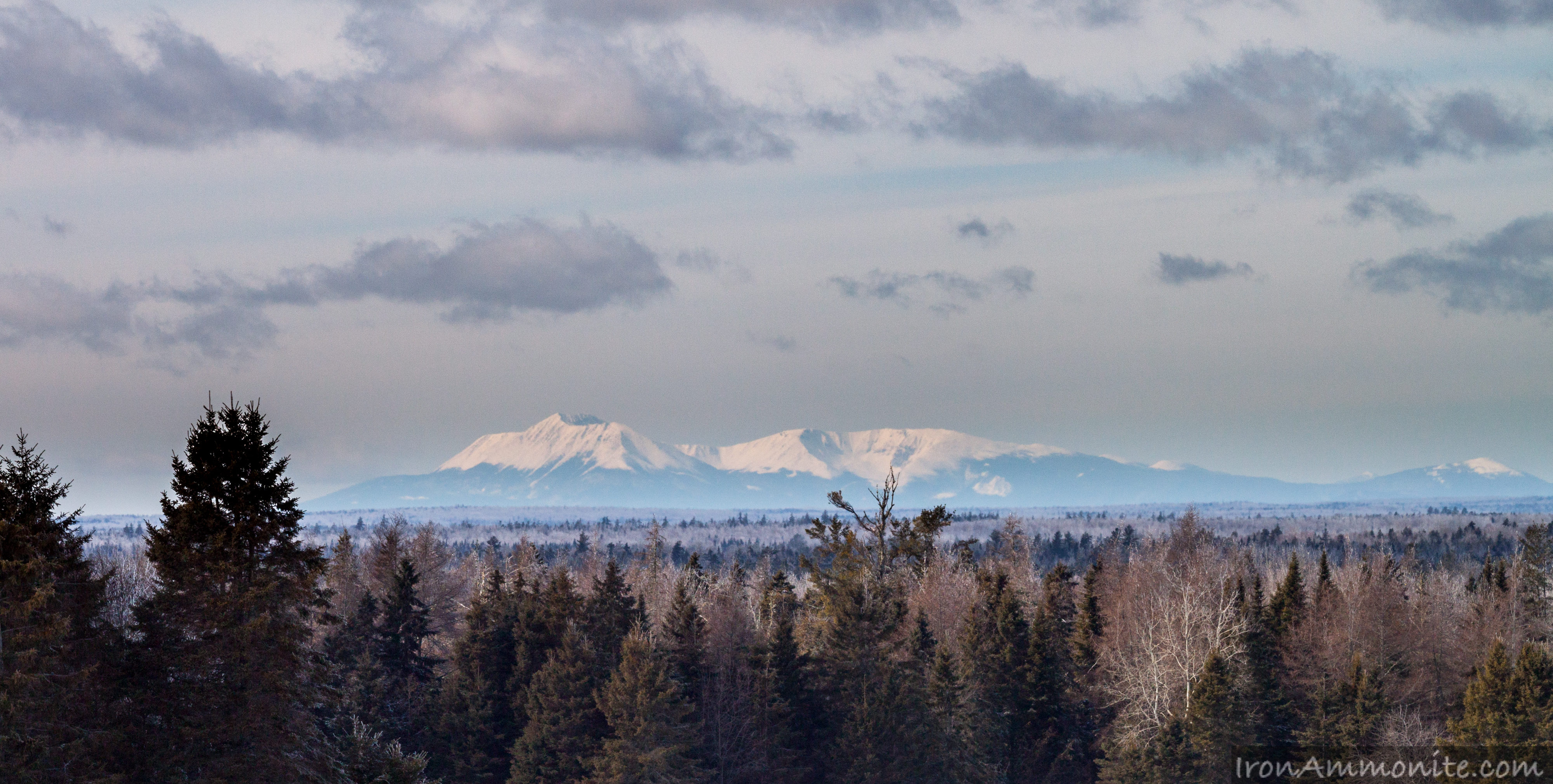
Mount Katahdin view-1.jpg
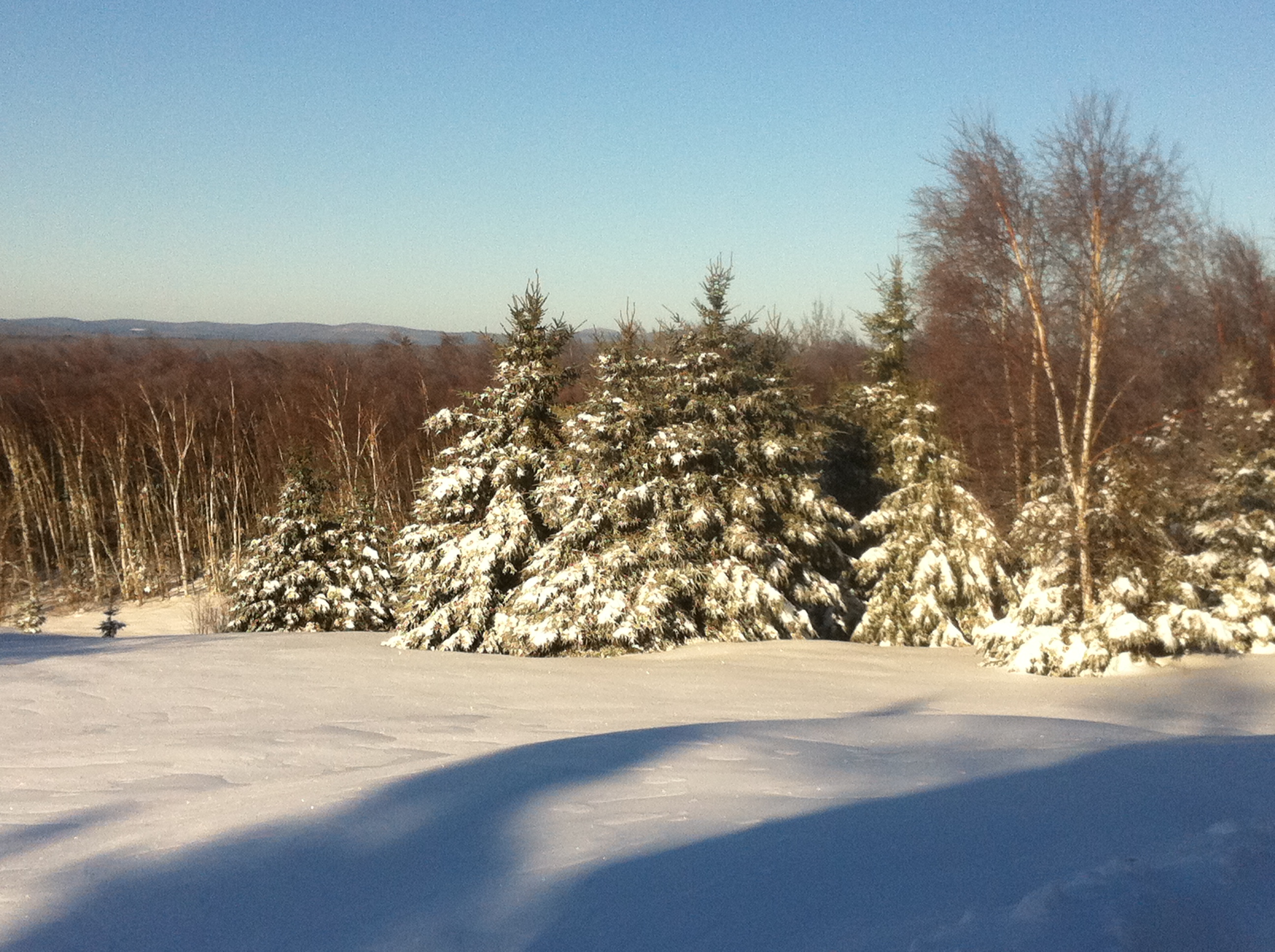
Our breakfast view. Snow has returned. Sun is shining. Already filmed deer. Hope to film moose today.
Long view
Side view
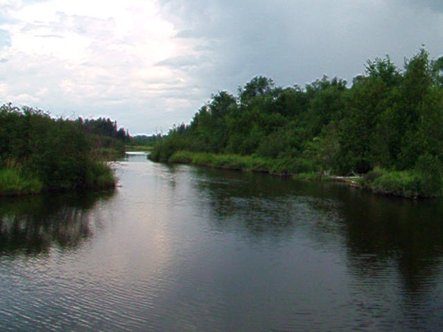
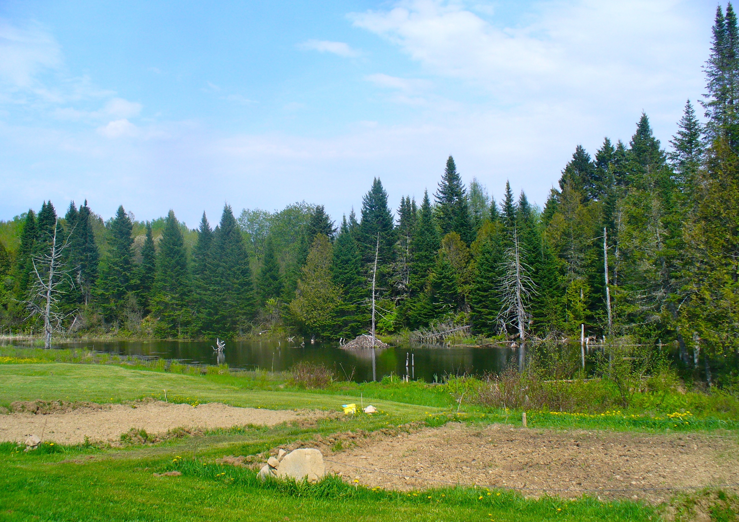
The view from the beaver pond
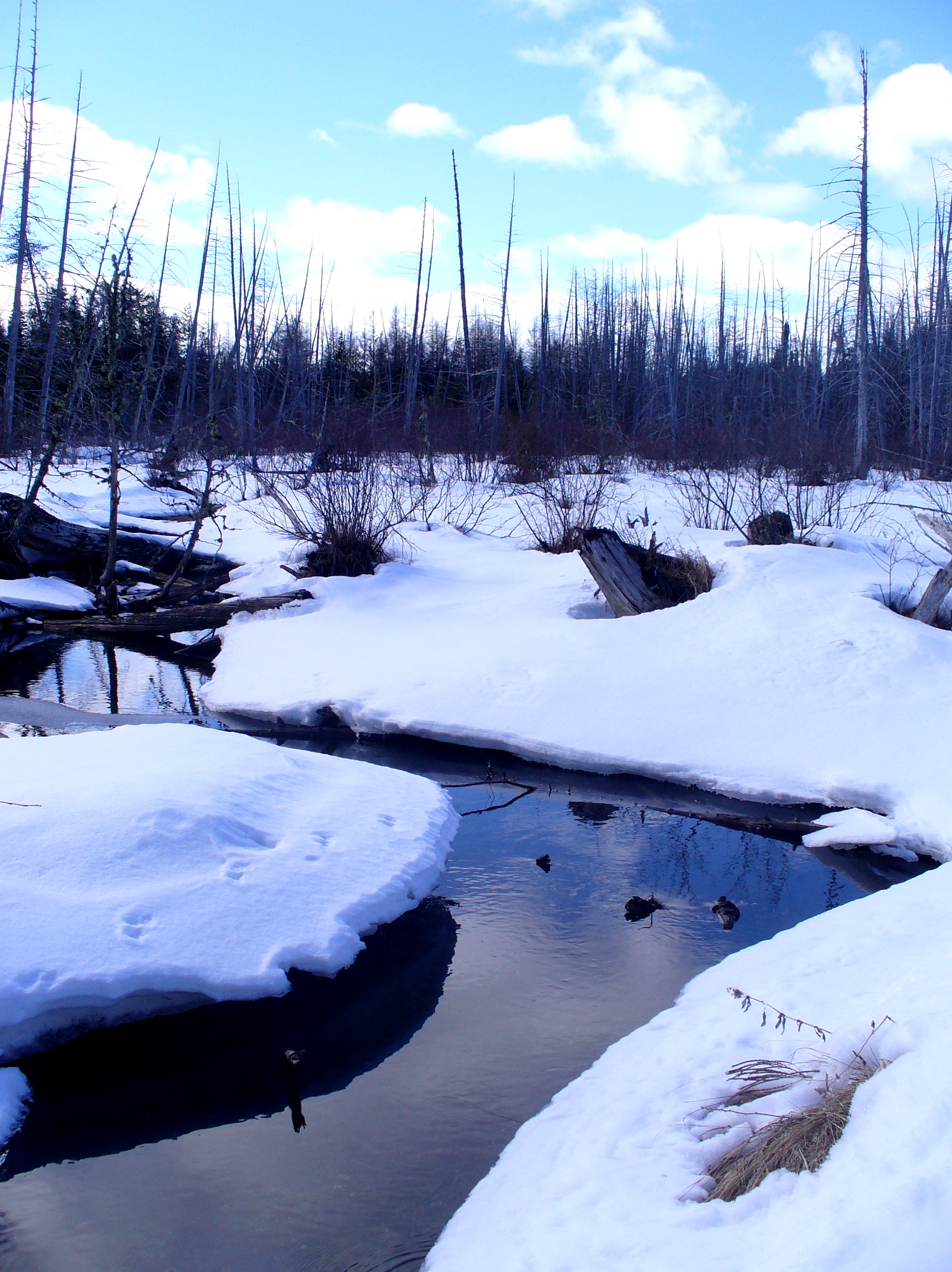
Beaver swamp
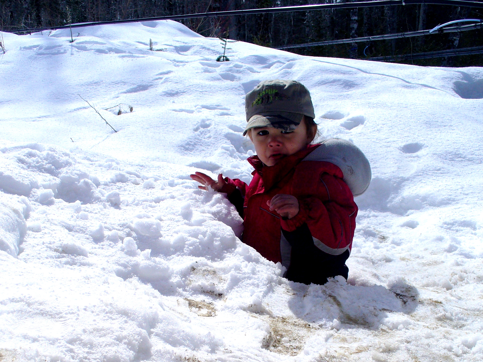
Jeremiah gets buried
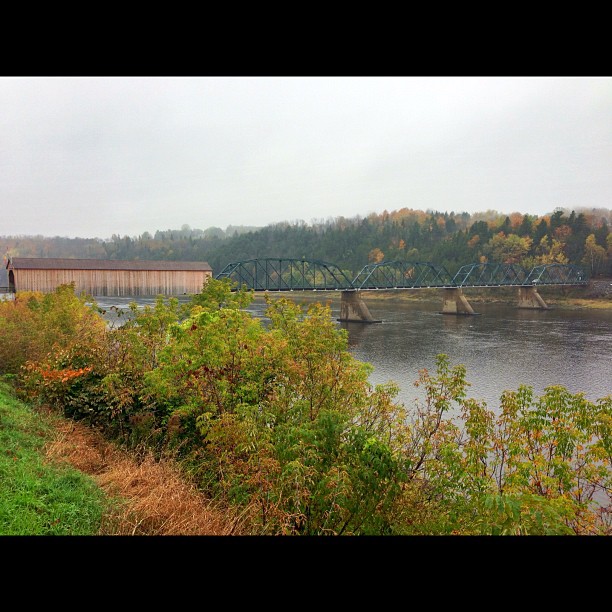
Florenceville Covered Bridge. So pretty!
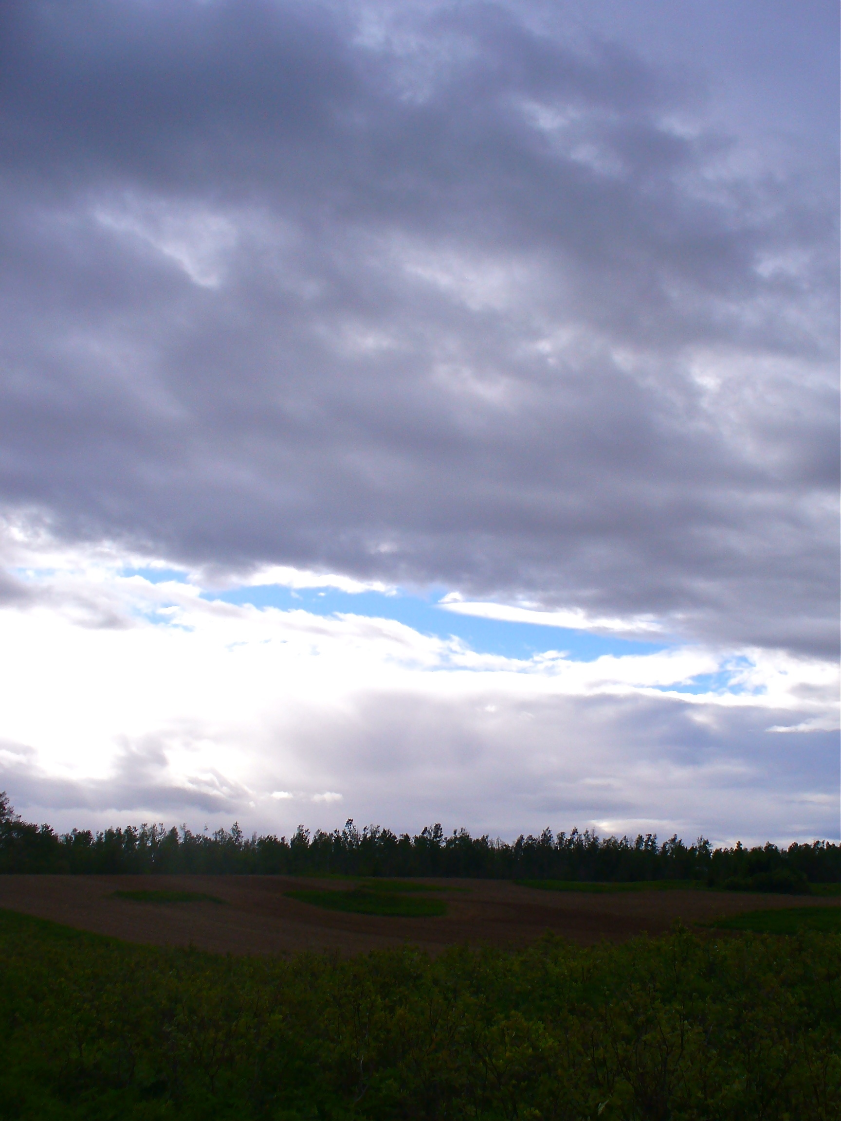
Troubled sky
Moose (my best shot)
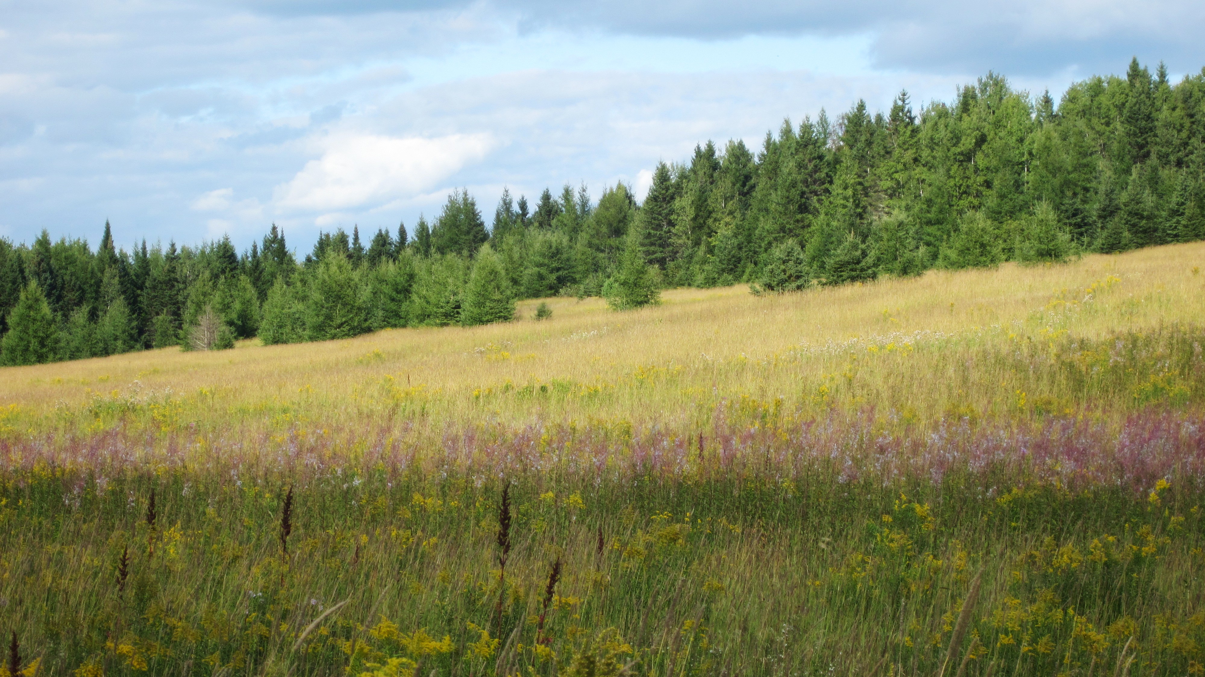
Aroostook County: Boreal Meadow in August
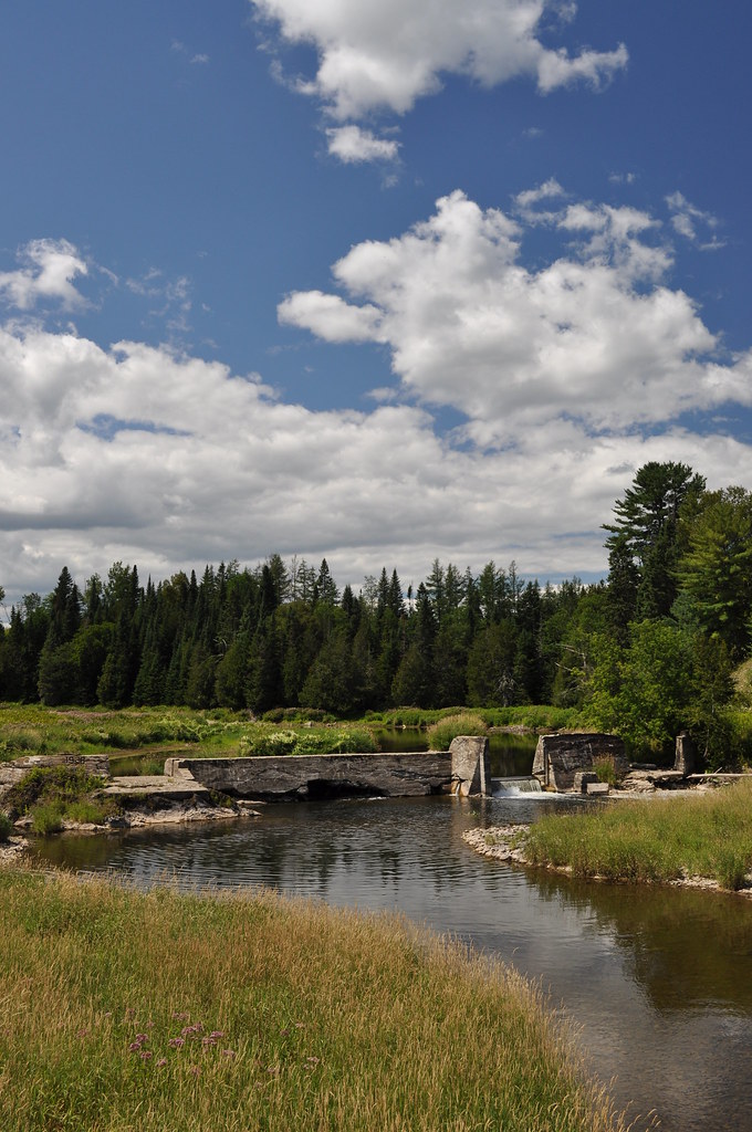
Busted Dam 1

Sunset in the back field
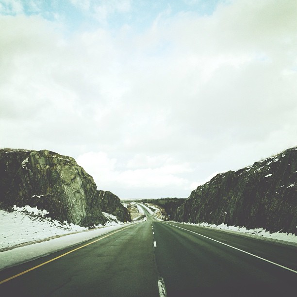
More rock. #adamphonehome
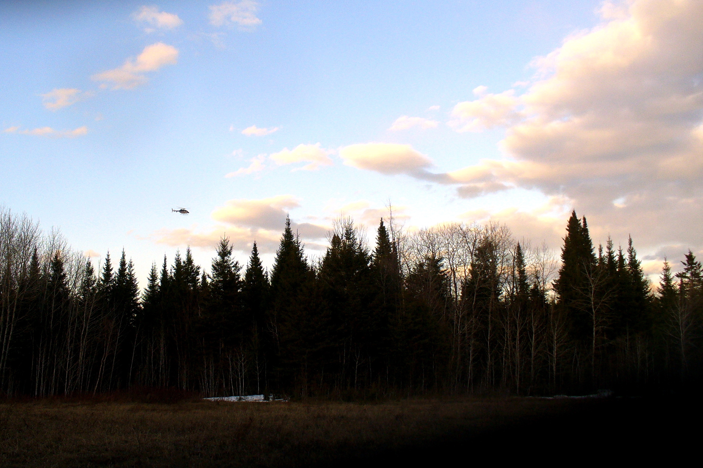
Border Patrol helicopter
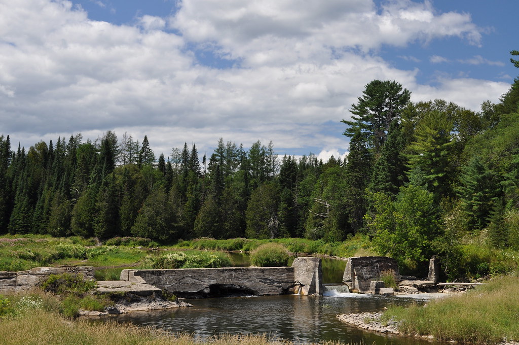
Busted Dam 2

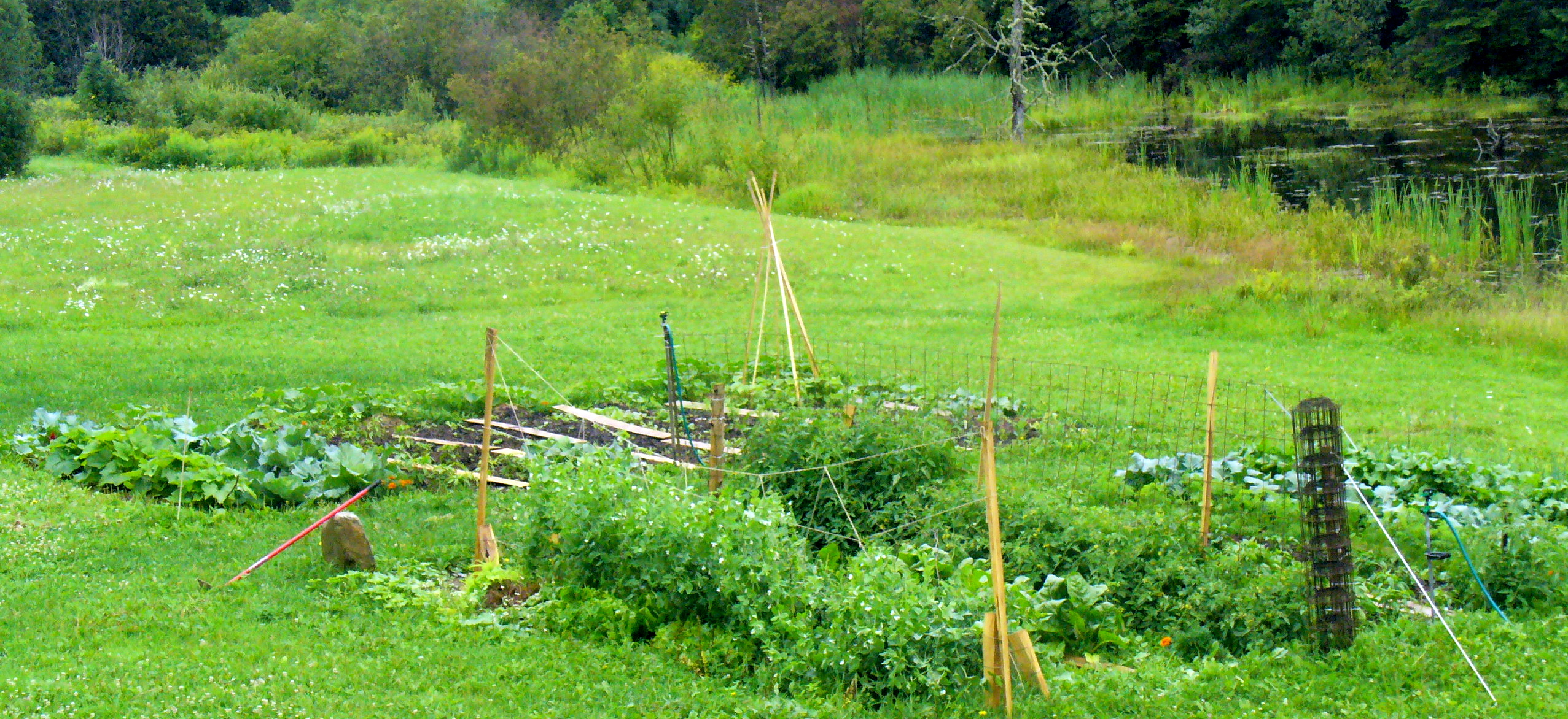
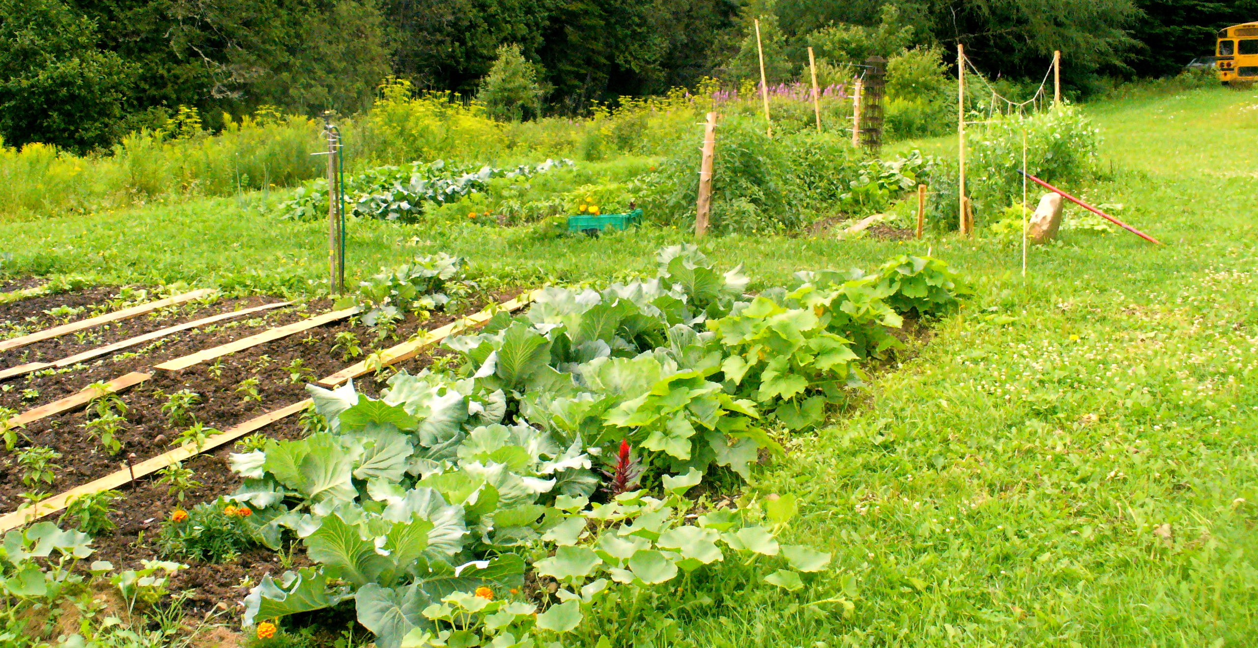
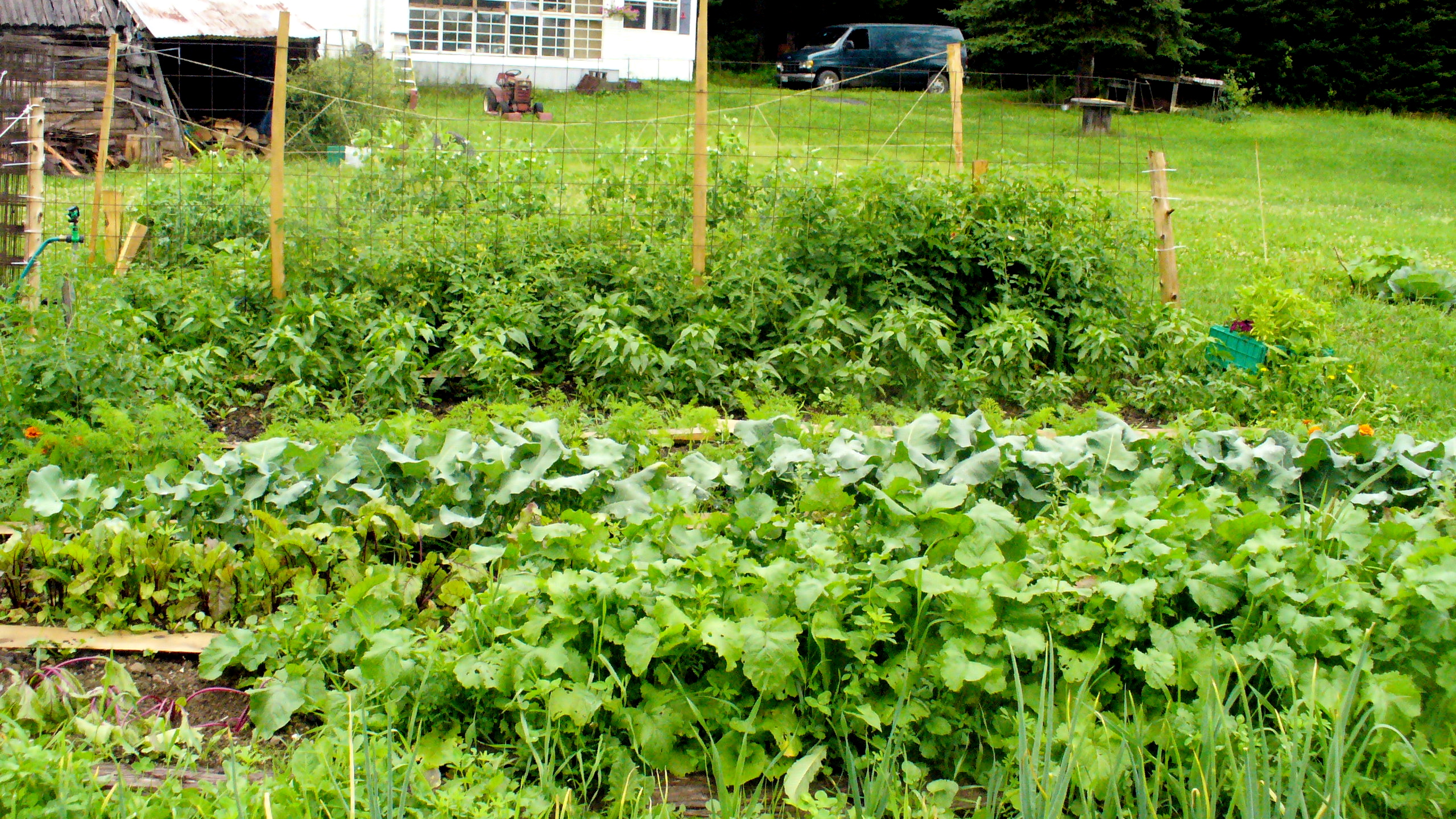
Aroostook garden
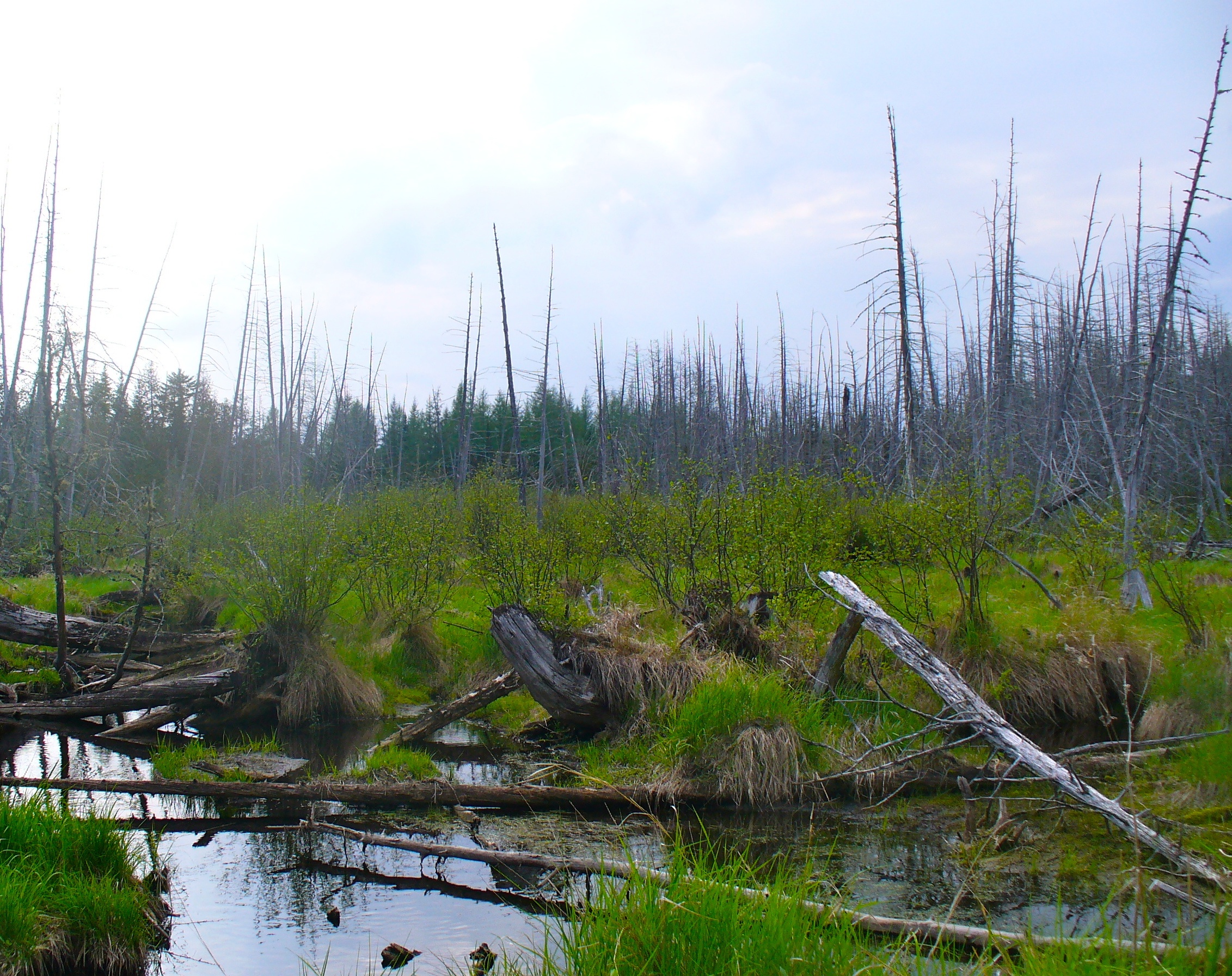
Dead Stream In Monticello Maine
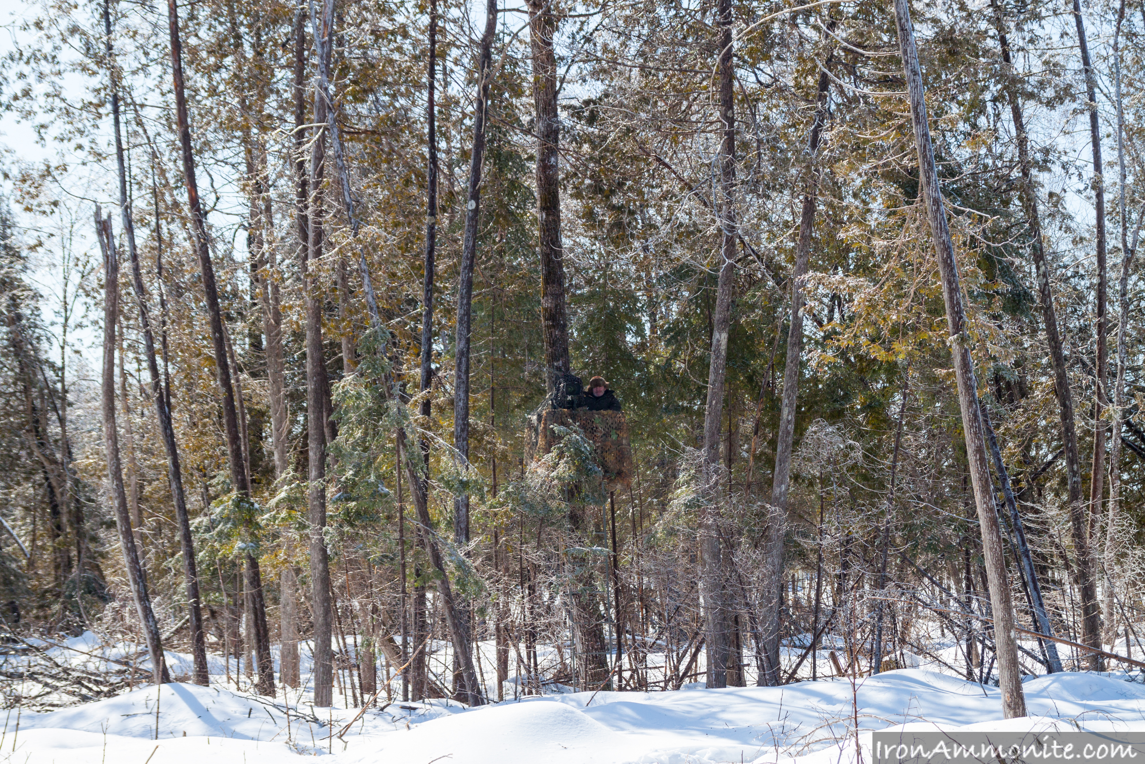
Spot the cameraman.jpg
The washout
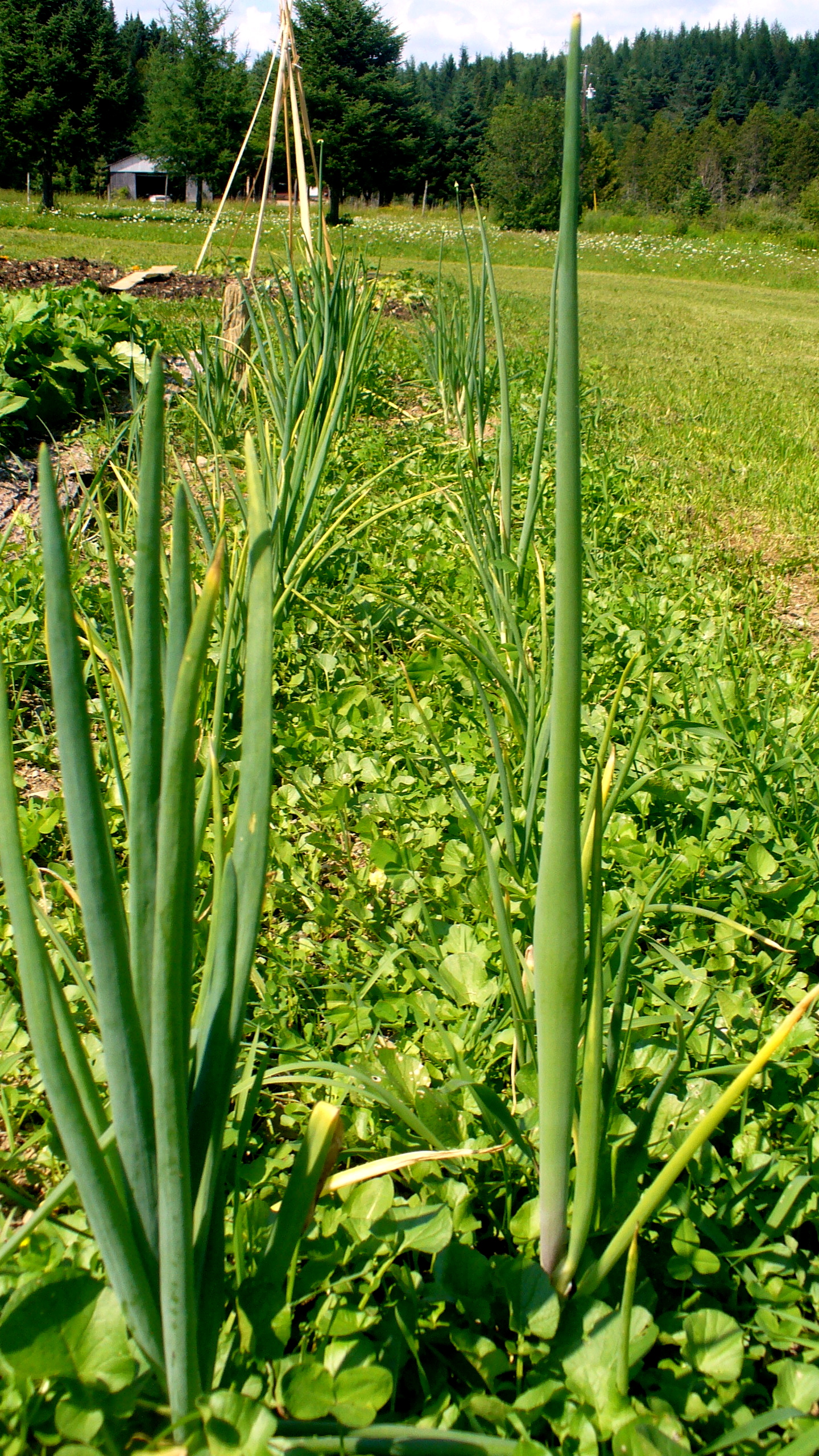
Onions beginning to flower.

Field of lions

Aroostook County: White House
Bare garden
Topographic Map of NB-, Williamstown, NB E7K 1S3, Canada
Find elevation by address:

Places near NB-, Williamstown, NB E7K 1S3, Canada:
Williamstown
Wilmot
Charleston Road
Long Settlement
Lakeville Fire Department
Riverbank
Main St, Riverbank, NB E7L 3Z8, Canada
Wilmot
Fullerton Road
NB-, Lindsay, NB E7M 5N8, Canada
Main St, Peel, NB E7L, Canada
Lindsay
Estey Rd, Waterville, NB E7P 1H5, Canada
Monticello
Goodine William Dr
Waterville
Lansdowne
73 Riverview Dr
N Rd, Littleton, ME, USA
Littleton
Recent Searches:
- Elevation of Elwyn Dr, Roanoke Rapids, NC, USA
- Elevation of Congressional Dr, Stevensville, MD, USA
- Elevation of Bellview Rd, McLean, VA, USA
- Elevation of Stage Island Rd, Chatham, MA, USA
- Elevation of Shibuya Scramble Crossing, 21 Udagawacho, Shibuya City, Tokyo -, Japan
- Elevation of Jadagoniai, Kaunas District Municipality, Lithuania
- Elevation of Pagonija rock, Kranto 7-oji g. 8"N, Kaunas, Lithuania
- Elevation of Co Rd 87, Jamestown, CO, USA
- Elevation of Tenjo, Cundinamarca, Colombia
- Elevation of Côte-des-Neiges, Montreal, QC H4A 3J6, Canada