Elevation of NB-11, Redmondville, NB E1N 5C6, Canada
Location: Canada > New Brunswick > Northumberland County > Glenelg > Redmondville >
Longitude: -65.272355
Latitude: 46.9419673
Elevation: 32m / 105feet
Barometric Pressure: 101KPa
Elevation Map:
Satellite Map:
Related Photos:
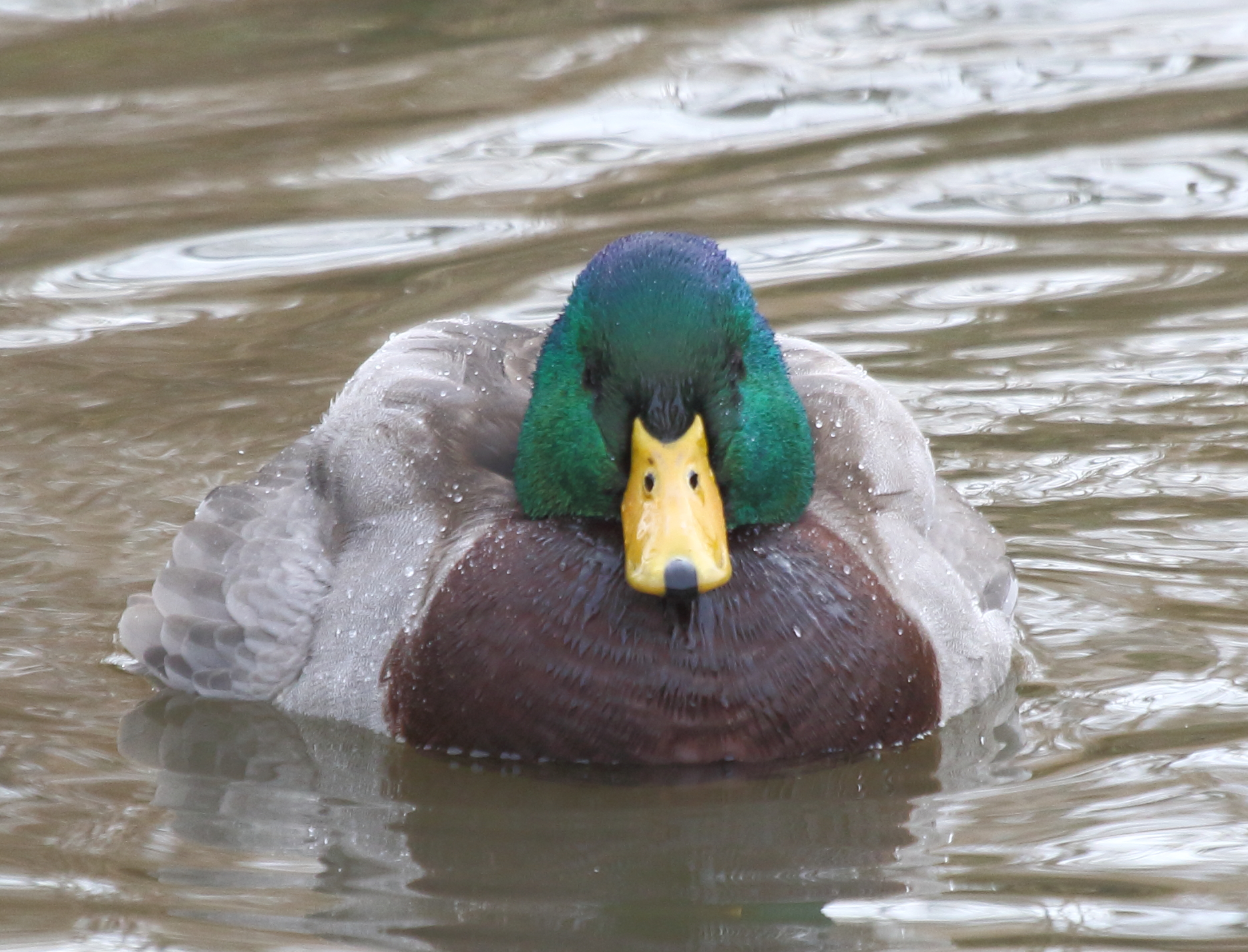
Mallard Front view
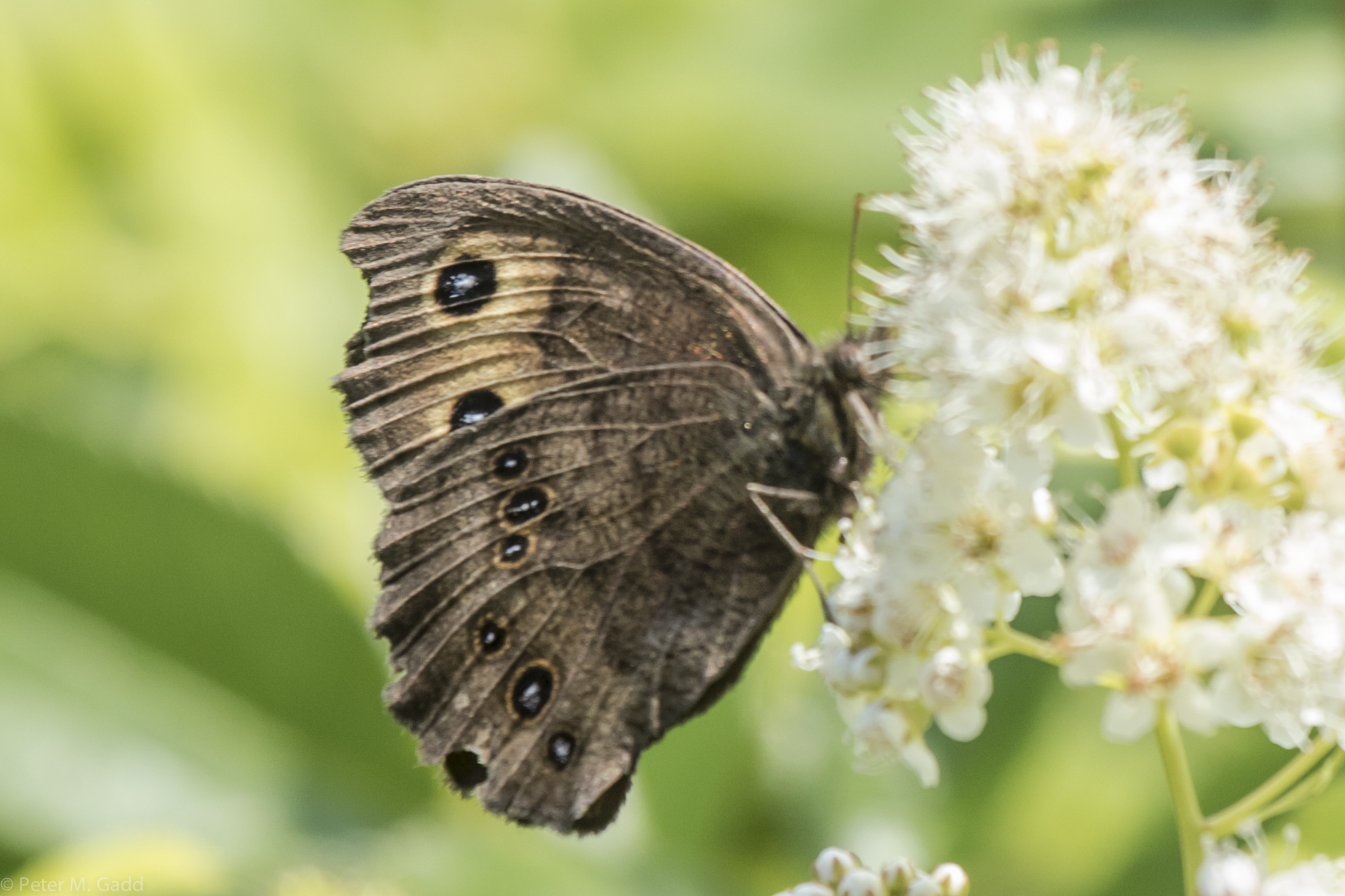
Common Wood Nymph 20150728 Field, Point aux Carr Rd. (3)
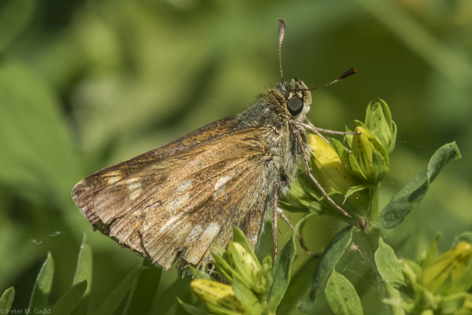
Indian Skipper 20150714 Miramichi Marsh (2)

And what a weekend "#chi" was! #miramichi
Past the Stairs

Comme une carte postale
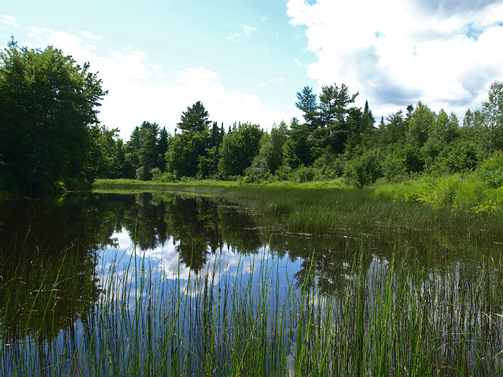
Bay du Vin River

There she is.
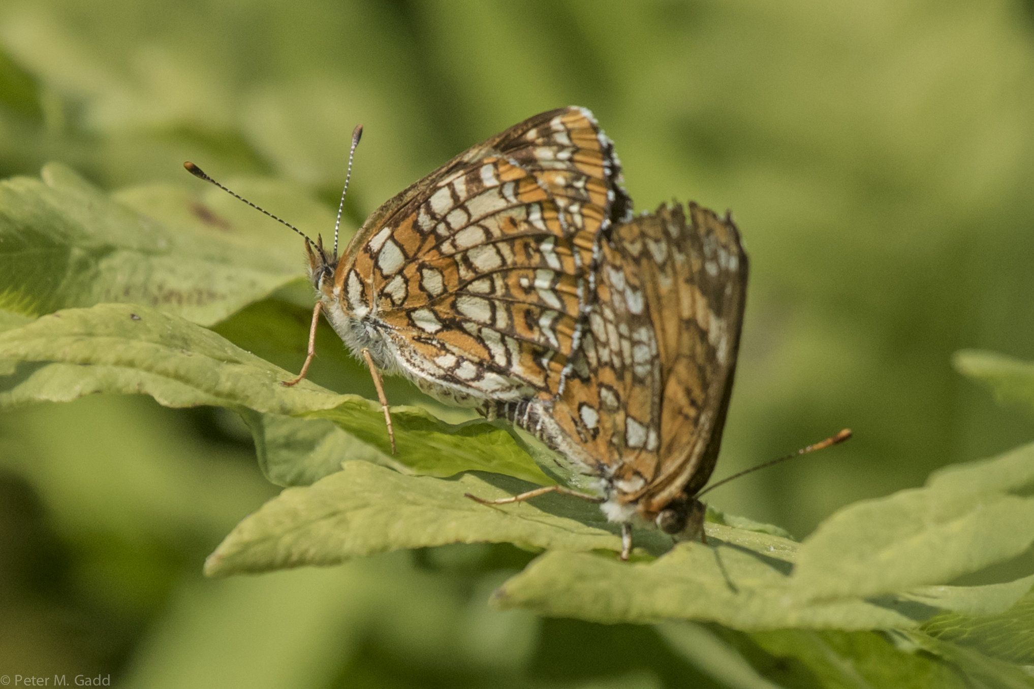
Harris's Checkerspot 201507014 5.5 km south on Weldfield Collett Rd from Hwy 11 (4)
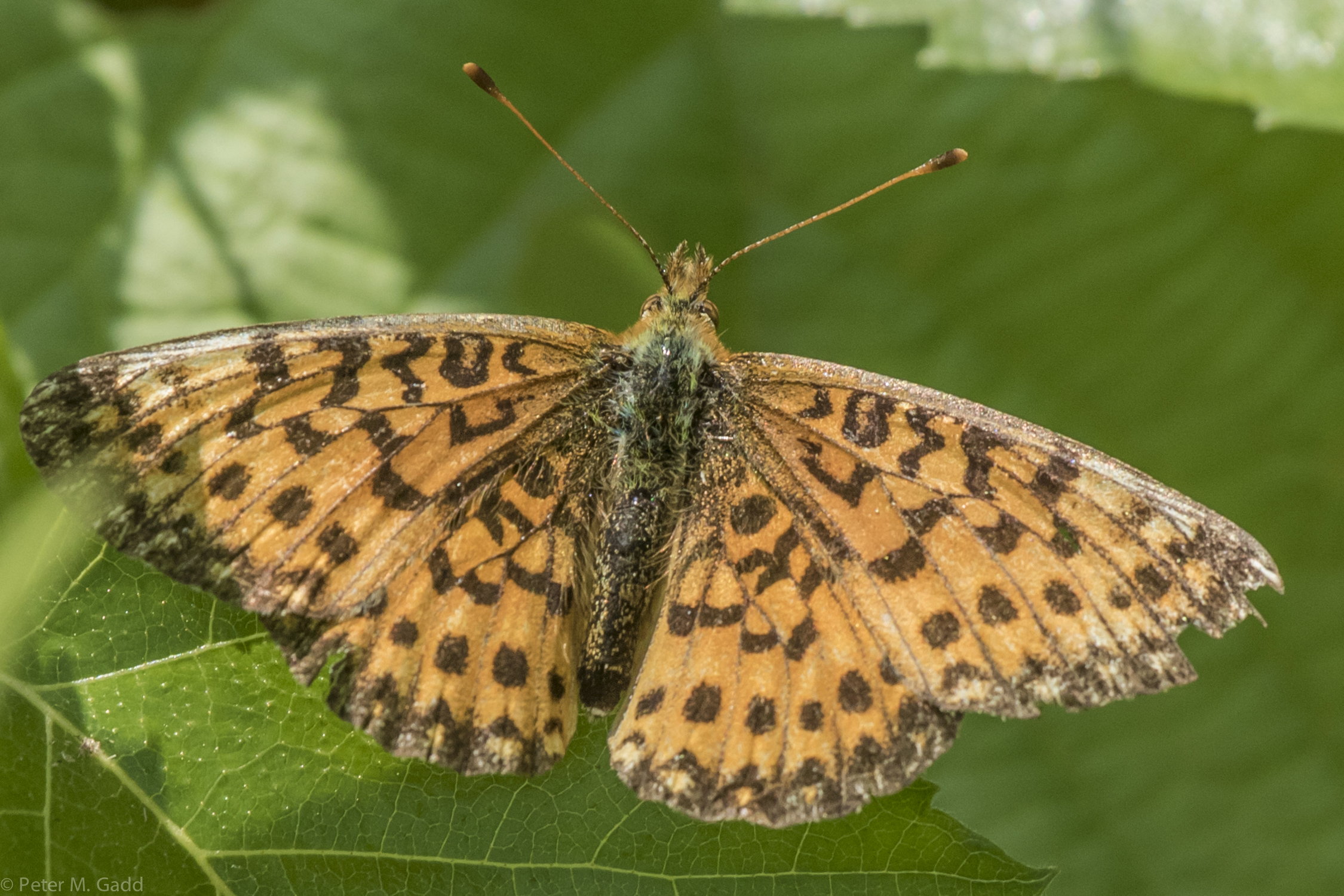
Silver Bordered Fritillary 201507014 5.5 km south on Weldfield Collett Rd from Hwy 11 (7)
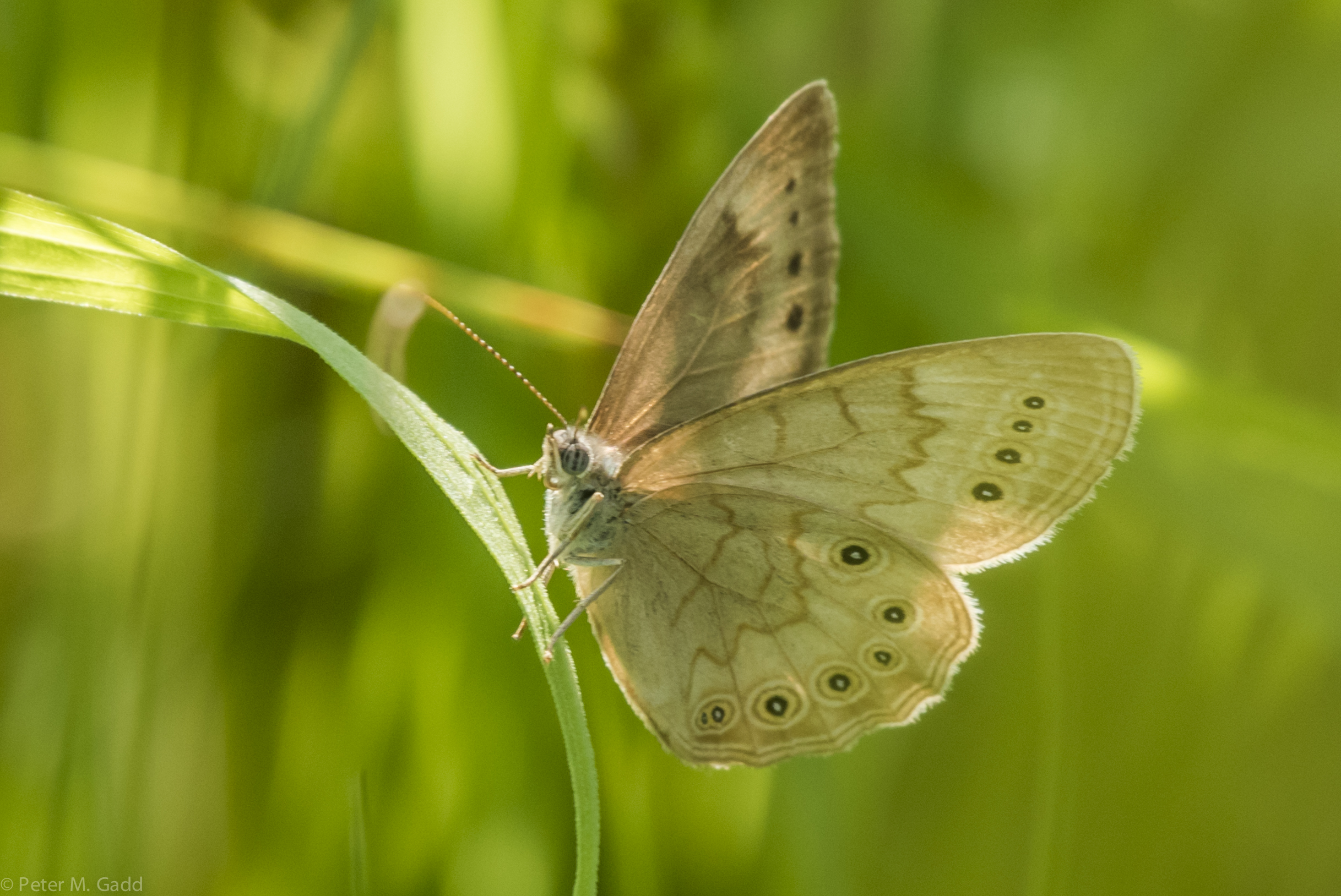
Eyed Brown 20150708 Miramichi Marsh
Topographic Map of NB-11, Redmondville, NB E1N 5C6, Canada
Find elevation by address:

Places near NB-11, Redmondville, NB E1N 5C6, Canada:
Redmondville
Glenelg
5 N Black River Rd, Black River Bridge, NB E1N 5S4, Canada
Black River Bridge
NB-, Black River Bridge, NB E1N 5K7, Canada
Rosaireville
Chatham
S Napan Rd, Napan, NB E1N 4W2, Canada
450 N Napan Rd
E1n 5n6
Auburnville Rd, Bay du Vin, NB E1N 5N7, Canada
Napan
Williston Lane
Bay Du Vin
Bartibog Bridge
4 Gum Rd, Bartibog Bridge, NB E1V 7H6, Canada
NB-11, Russellville, NB E1V 7G3, Canada
Lower Newcastle
221 Nb-11
Dan Cripps Street
Recent Searches:
- Elevation of Sattva Horizon, 4JC6+G9P, Vinayak Nagar, Kattigenahalli, Bengaluru, Karnataka, India
- Elevation of Great Brook Sports, Gold Star Hwy, Groton, CT, USA
- Elevation of 10 Mountain Laurels Dr, Nashua, NH, USA
- Elevation of 16 Gilboa Ln, Nashua, NH, USA
- Elevation of Laurel Rd, Townsend, TN, USA
- Elevation of 3 Nestling Wood Dr, Long Valley, NJ, USA
- Elevation of Ilungu, Tanzania
- Elevation of Yellow Springs Road, Yellow Springs Rd, Chester Springs, PA, USA
- Elevation of Rēzekne Municipality, Latvia
- Elevation of Plikpūrmaļi, Vērēmi Parish, Rēzekne Municipality, LV-, Latvia