Elevation of Navalgund, Karnataka, India
Location: India > Karnataka > Dharwad >
Longitude: 75.3556407
Latitude: 15.5604653
Elevation: 578m / 1896feet
Barometric Pressure: 95KPa
Elevation Map:
Satellite Map:
Related Photos:

DSC02586.jpg

*
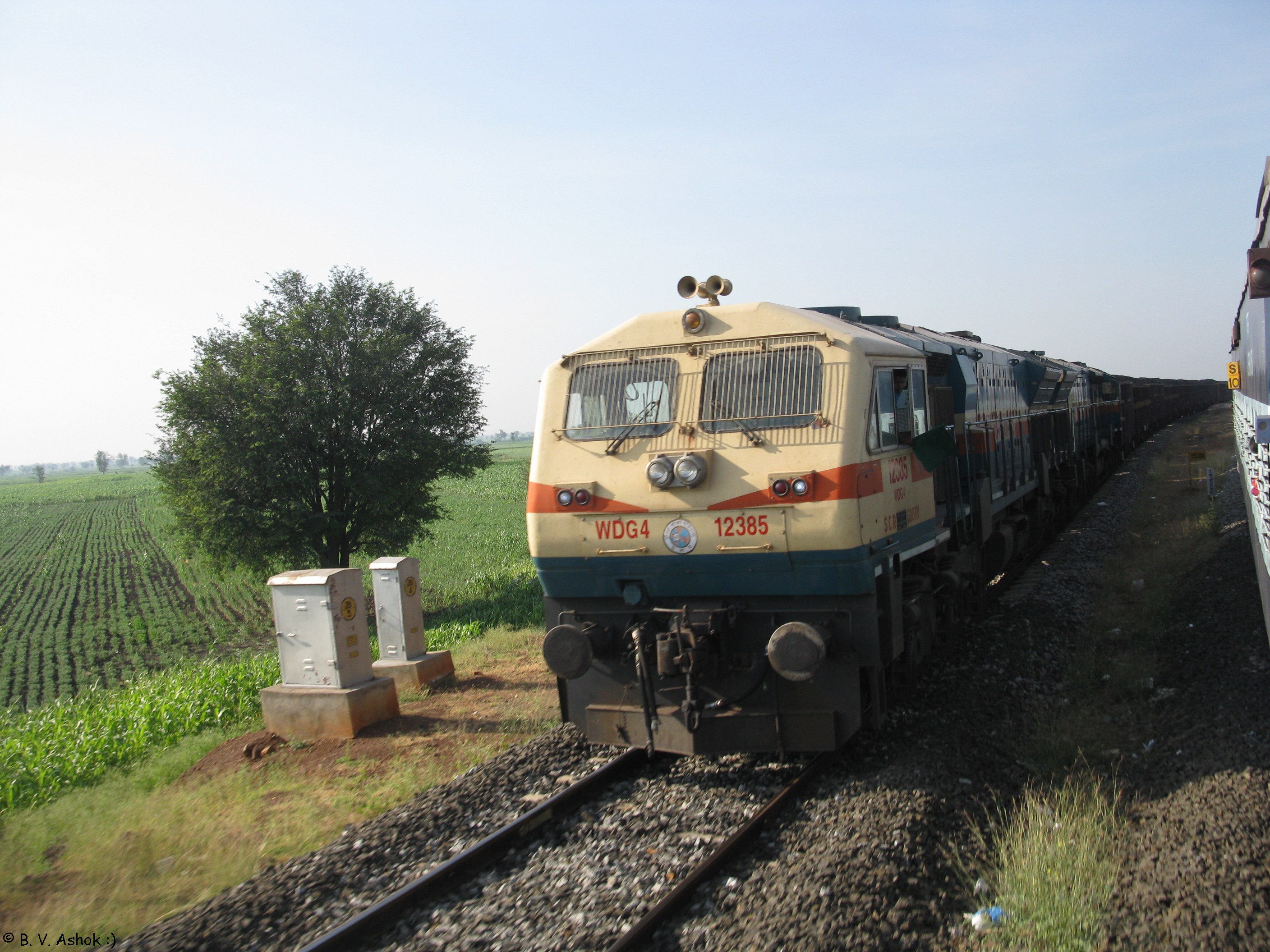
GY WDG - 4
Topographic Map of Navalgund, Karnataka, India
Find elevation by address:

Places near Navalgund, Karnataka, India:
Nargund
Saundatti-yellamma
Saundatti
Manolli
Ramdurg
Rona
Aladakatti
Jigalur
Badami
Bharat Petroleum, Petrol Pump -k.m.pattanshetti & Co.
Sogal
Bailhongal
Degaon
Bagalkot
Bagalkot
Mudhol
Gokak Taluka
Gokak
Malaprabha River
Bilgi
Recent Searches:
- Elevation of Pykes Down, Ivybridge PL21 0BY, UK
- Elevation of Jalan Senandin, Lutong, Miri, Sarawak, Malaysia
- Elevation of Bilohirs'k
- Elevation of 30 Oak Lawn Dr, Barkhamsted, CT, USA
- Elevation of Luther Road, Luther Rd, Auburn, CA, USA
- Elevation of Unnamed Road, Respublika Severnaya Osetiya — Alaniya, Russia
- Elevation of Verkhny Fiagdon, North Ossetia–Alania Republic, Russia
- Elevation of F. Viola Hiway, San Rafael, Bulacan, Philippines
- Elevation of Herbage Dr, Gulfport, MS, USA
- Elevation of Lilac Cir, Haldimand, ON N3W 2G9, Canada