Elevation of Naval Air Station Fallon, Pasture Rd, Fallon, NV, USA
Location: United States > Nevada > Churchill County > Fallon Station >
Longitude: -118.72512
Latitude: 39.4202278
Elevation: 1199m / 3934feet
Barometric Pressure: 88KPa
Elevation Map:
Satellite Map:
Related Photos:

View from Fish Cave, Carson Desert, Nevada

view from the front

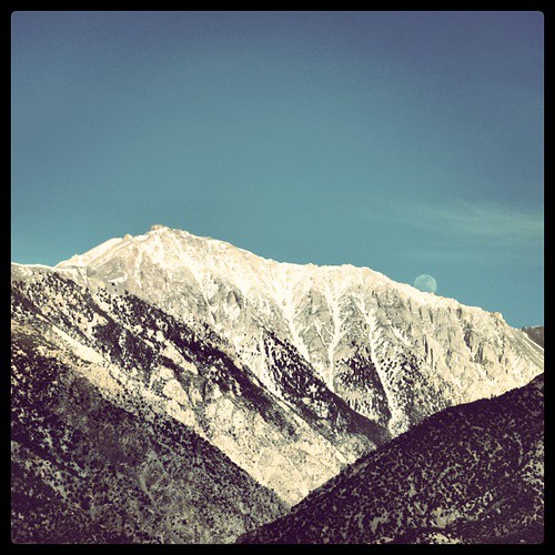
Fallon View

Fallon, Nevada

Fallon, Nevada

Grimes Point

H5172336.jpg

Grimes Point rock and lichen Feb 8 2015

Looks like home

IMG_20141108_165556_hdr.jpg
Now it is time to check out Fallon Project :) On the way to Nevada... @erikawinters

Grimes Point

20170318 181435 1SL6
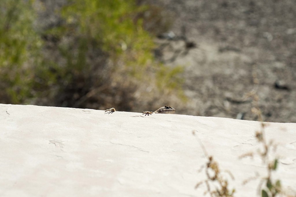
Fence Lizard

20170318 180913 1SL6

20170318 174627 1SL6

20170318 181134 1SL6

Lizard Petroglyph at Grimes Point Nevada

Busy rock

Petroglyphs of Grimes Point 4

Grimes Point, Near Fallon, Nevada

20170318 190544 1SL6

20170318 181803 1SL6

Grimes Point
Topographic Map of Naval Air Station Fallon, Pasture Rd, Fallon, NV, USA
Find elevation by address:

Places near Naval Air Station Fallon, Pasture Rd, Fallon, NV, USA:
Nas Commissary
Fallon Station
Nas Fallon Air Traffic Building
Union Lane
840 Lazy Heart Ln
2134 Stark Ln
3175 Austin Hwy
3175 Austin Hwy
3175 Austin Hwy
3175 Austin Hwy
3175 Austin Hwy
Macari Lane
640 N Downs Ln
2450 Schurz Hwy
Unnamed Road
598 Humboldt St
232 S Broadway St
Fox Peak Cinema
Fallon
Fallon, NV, USA
Recent Searches:
- Elevation of Hercules Dr, Colorado Springs, CO, USA
- Elevation of Szlak pieszy czarny, Poland
- Elevation of Griffing Blvd, Biscayne Park, FL, USA
- Elevation of Kreuzburger Weg 13, Düsseldorf, Germany
- Elevation of Gateway Blvd SE, Canton, OH, USA
- Elevation of East W.T. Harris Boulevard, E W.T. Harris Blvd, Charlotte, NC, USA
- Elevation of West Sugar Creek, Charlotte, NC, USA
- Elevation of Wayland, NY, USA
- Elevation of Steadfast Ct, Daphne, AL, USA
- Elevation of Lagasgasan, X+CQH, Tiaong, Quezon, Philippines