Elevation of Nautical Dr, Panama City, FL, USA
Location: United States > Florida > Bay County > Panama City >
Longitude: -85.608189
Latitude: 30.2916898
Elevation: 7m / 23feet
Barometric Pressure: 101KPa
Elevation Map:
Satellite Map:
Related Photos:
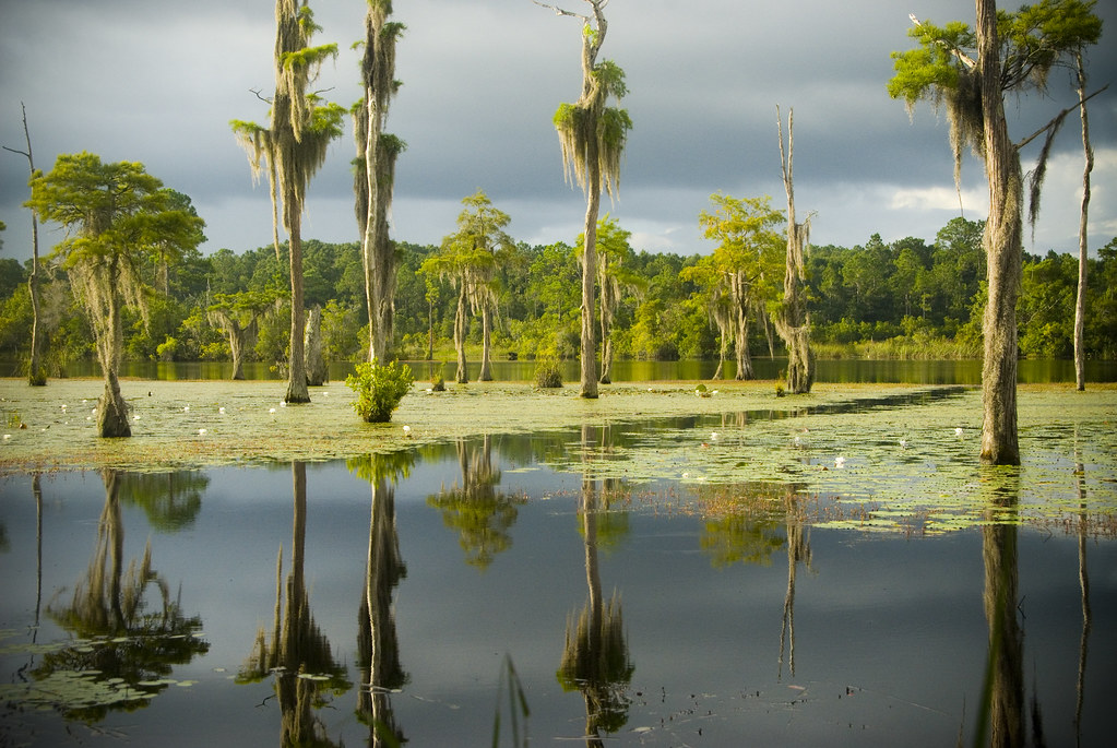
Cherokee Landing

ANOTHER ROADSIDE BOUQUET...
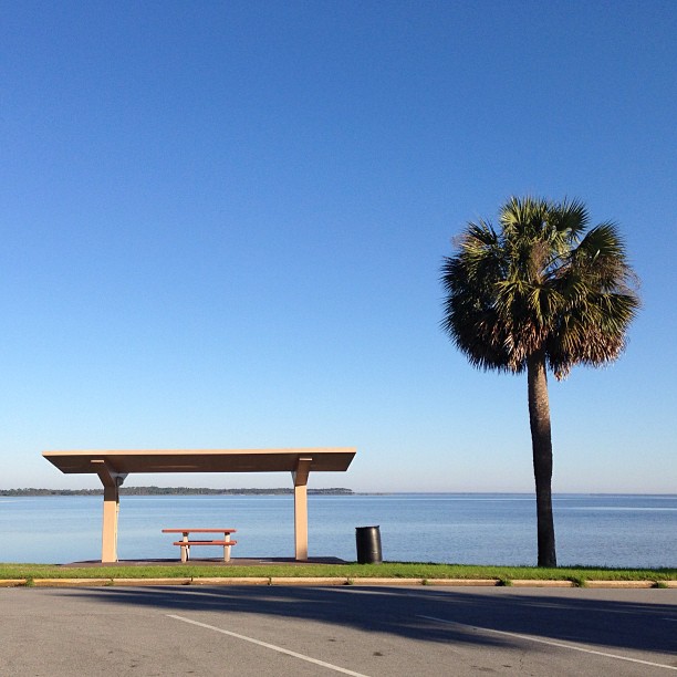
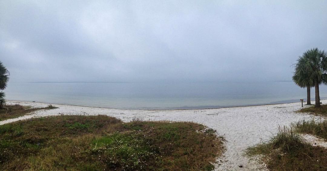
Even the view from a parking lot looks like paradise when you're at the beach. #fromwhereirun
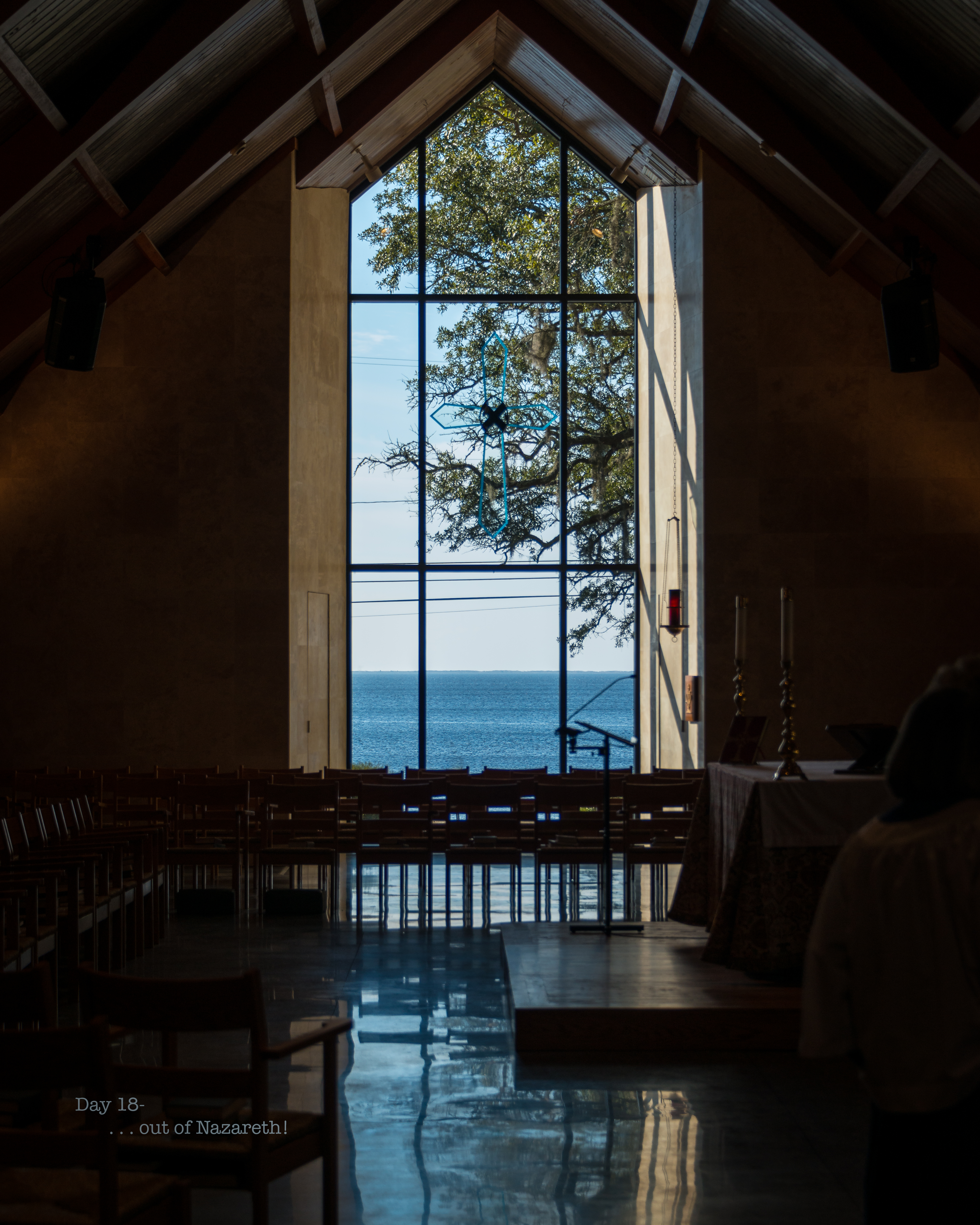
Day 18- . . . out of Nazareth!
Day 322- Possibly the world's best view from a dentist chair?

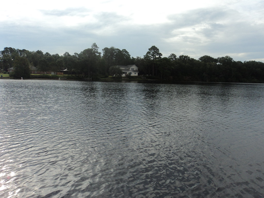
EARLY MORNING AT WATSON BAYOU...
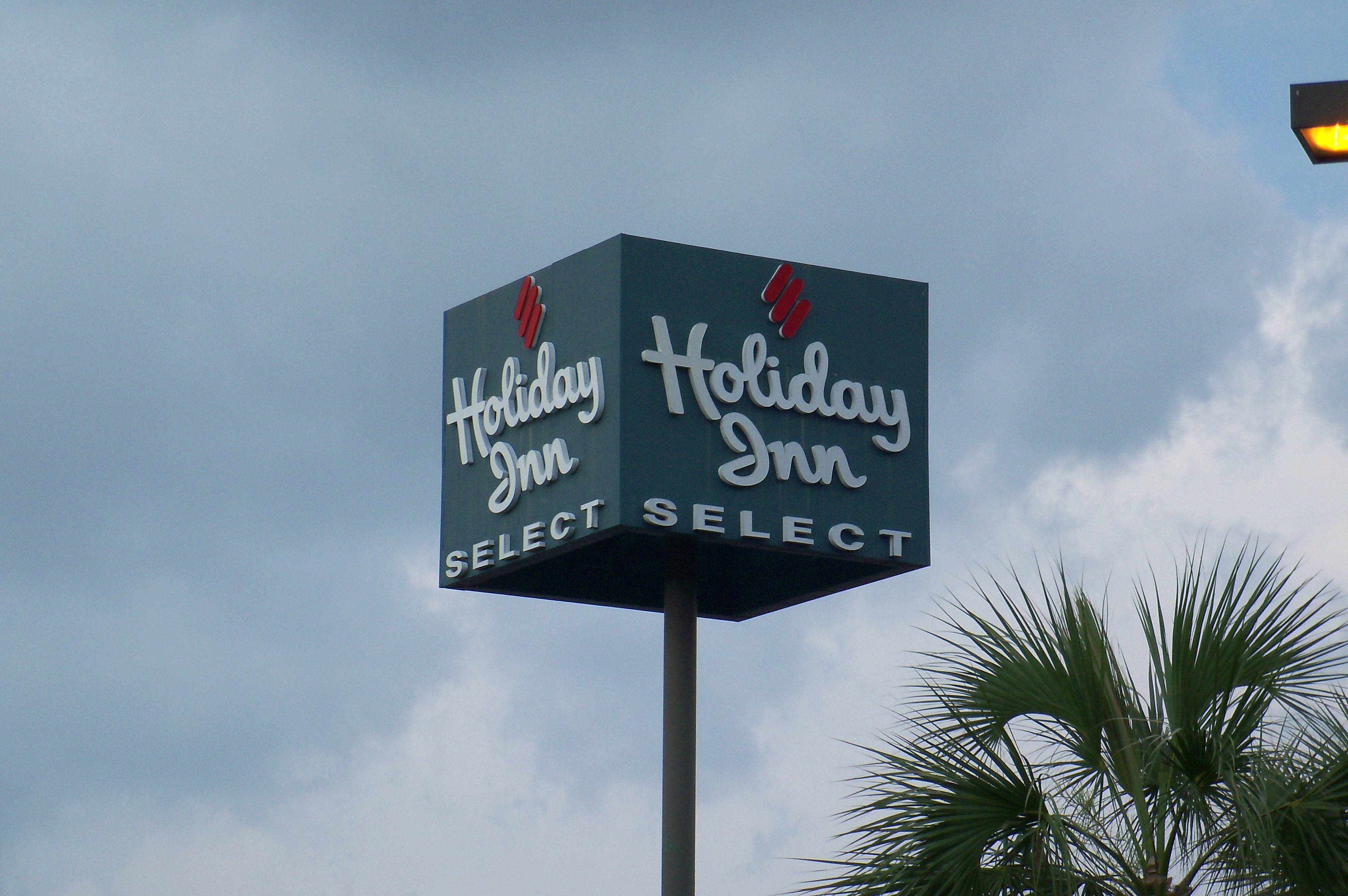
Holiday Inn Select - Panama City, FL

Weird view
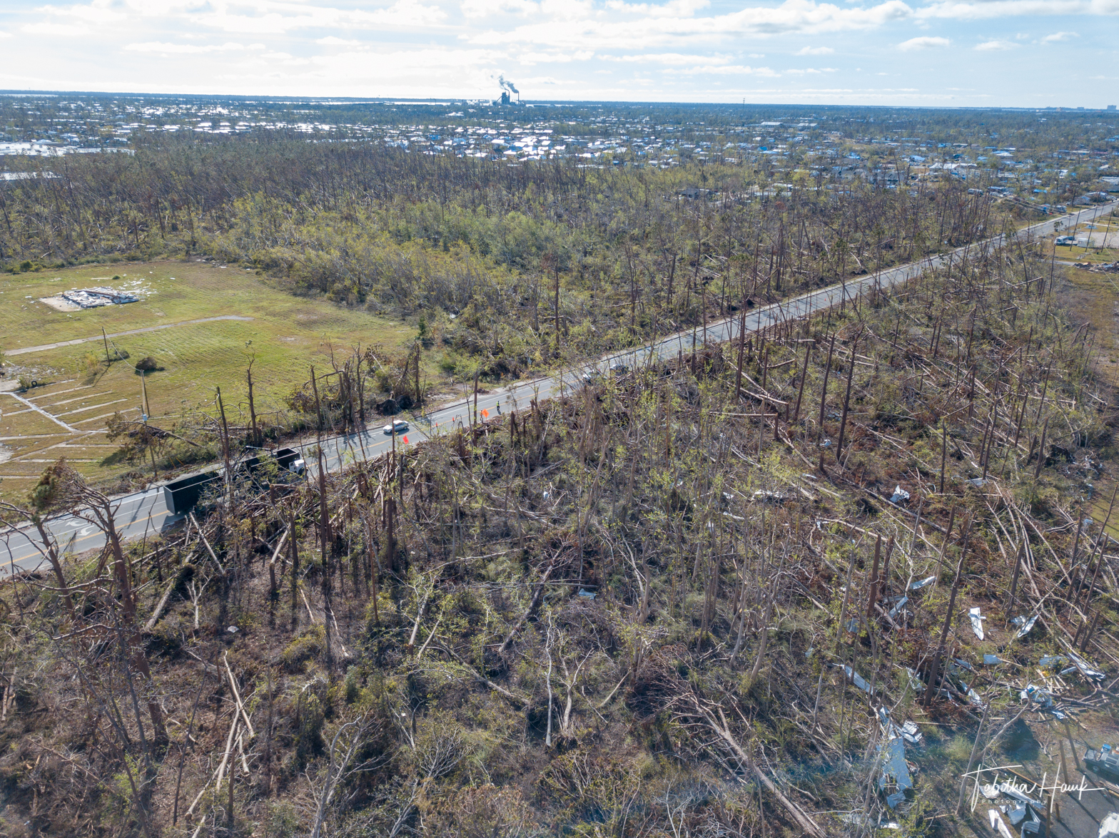
Drone Panama City Beach and Mexico Beach

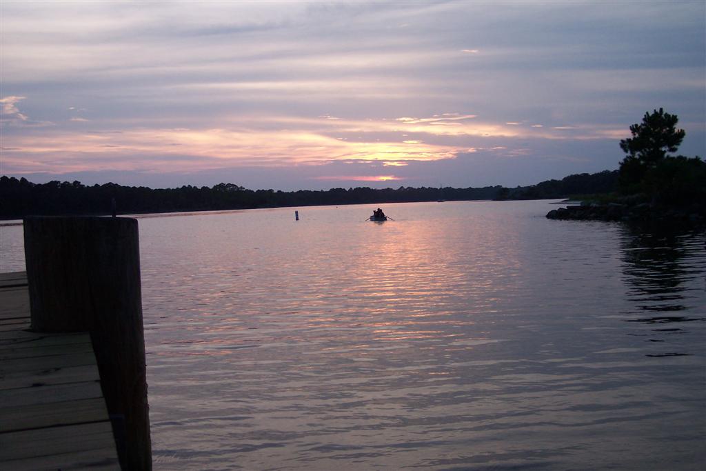
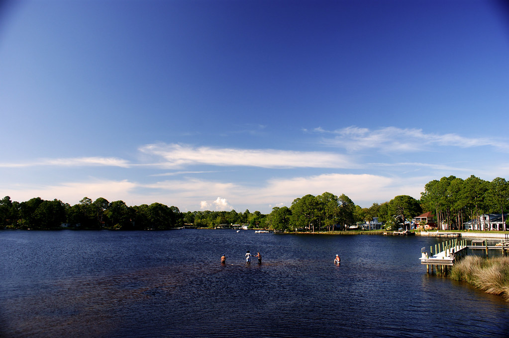
On the dock of the bay
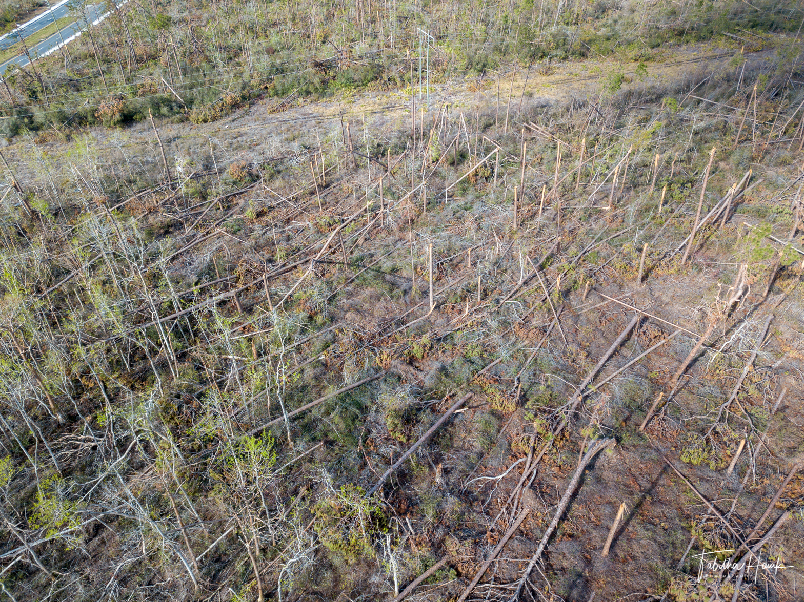
Drone Panama City Beach and Mexico Beach

The view out my window... something tells me this will be an IFR flight.
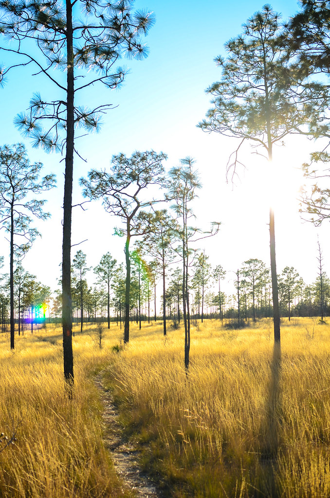
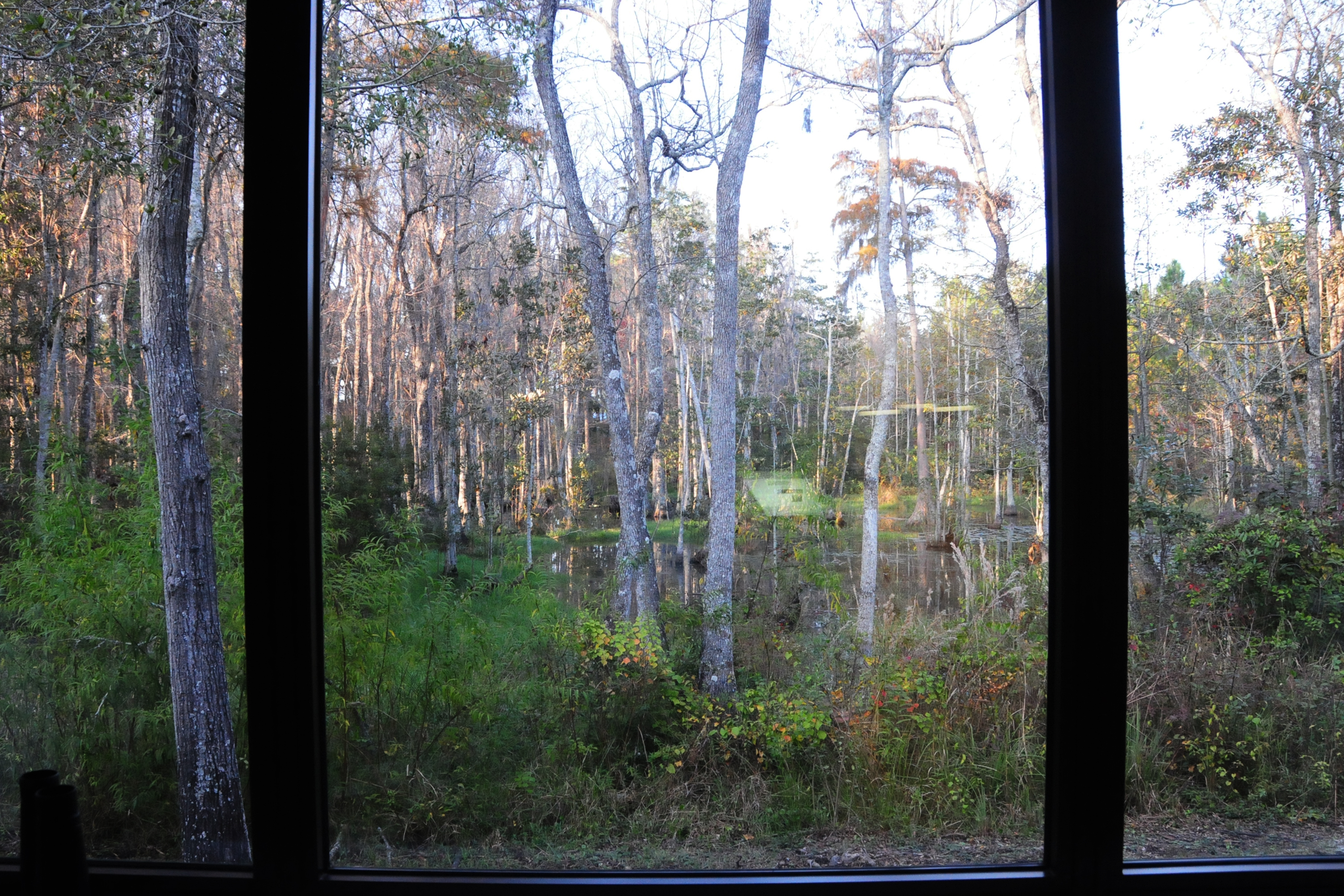
The Longleaf Forest

Wonderful sunset for a wonderful day!

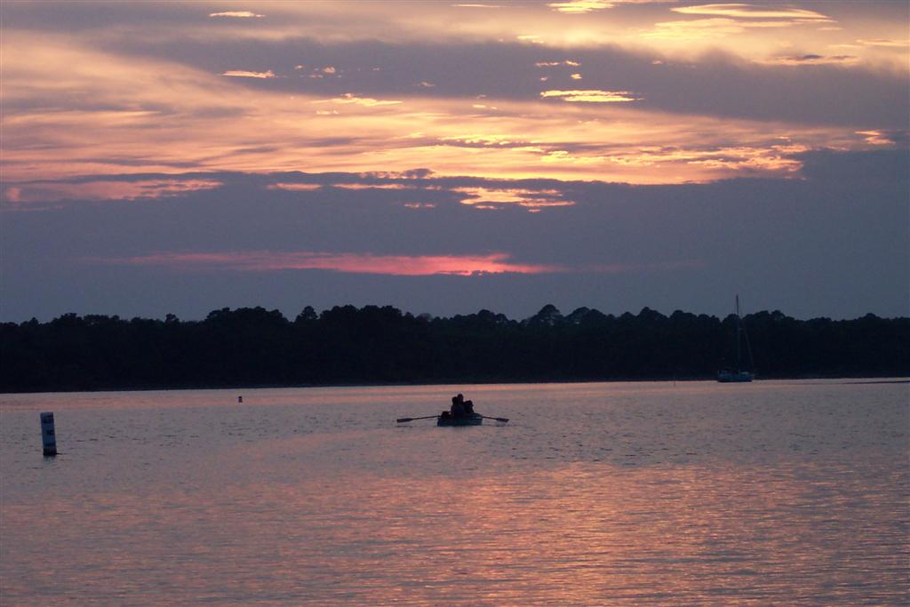
Sunset over North Bay

Sunrise #baileybridge #panamacityflorida #lynnhaven #florida #canon_official #canon #canonphotography #explorida #photooftheday #beautiful #beautifuldestinations
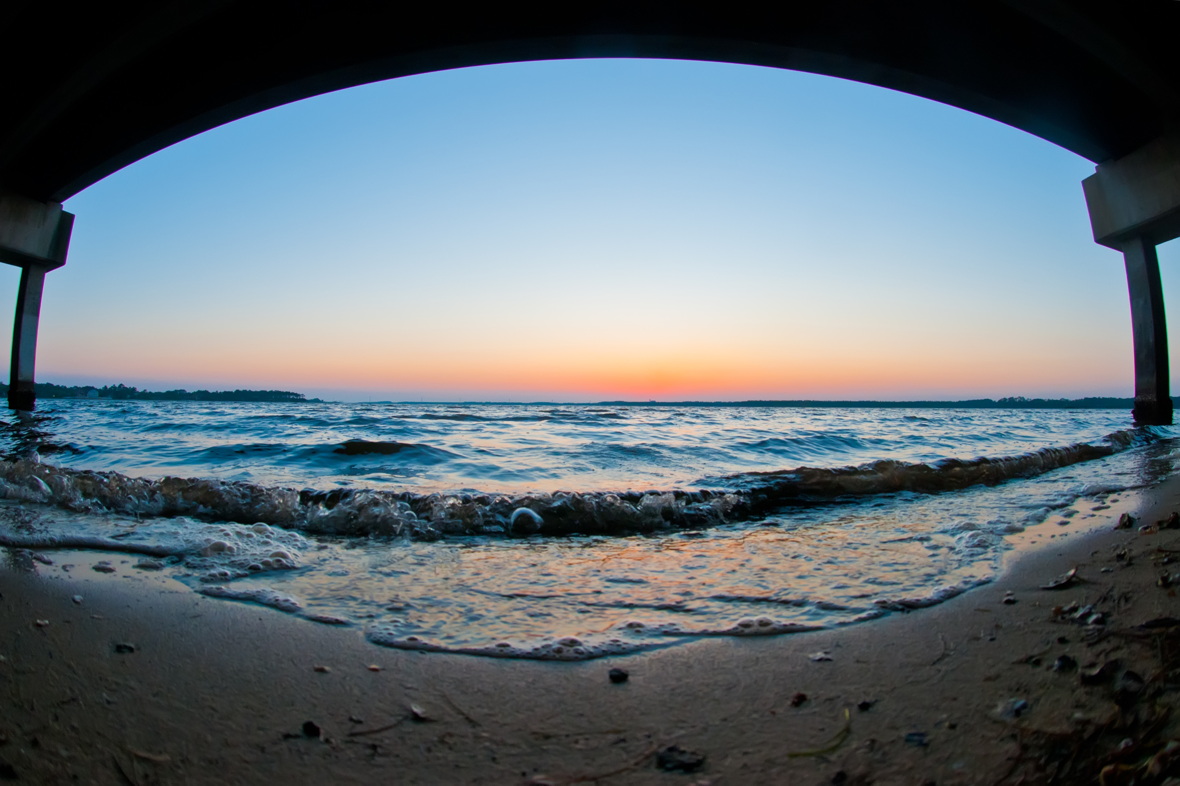
Fisheye just after sunset

139 and 1 (Soccer Field Art)

09-19-2014 I Saw The Light
USA -

SR 20, Bay county, Sandhill milkweed (Asclepias humistrata)

misc & boat day! 006
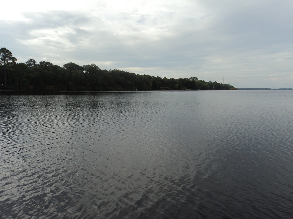
Deer Point Lake

Sunrise #baileybridges #panamacity #beautiful #pclivingmag #canonphotography #florida #bay #explorida #photooftheday #magicalshot #awesome #photographyislifee

Rain Lynn Haven

It's not a broken-down pickup, but...
USA -
#panorama #iphone6splus #roamflorida #gulfcoast #gulfofmexico #Florida #explorida #exploreflorida

Bayou sunset
Deer Point Lake
Walking on water.

Bailey Bridge

Sweetbay Wetland Preserves
Topographic Map of Nautical Dr, Panama City, FL, USA
Find elevation by address:

Places near Nautical Dr, Panama City, FL, USA:
7733 S Mccann Rd
Long Road
3115 Fawn Rd
3610 Conwick Dr
Kirkpatrick Rd, Panama City, FL, USA
Northwood Residential
7326 Mary Jo Ave
7313 Mary Jo Ave
Deerpoint Estates
4627 Bluewater Dr
High Point
7928 Highpoint Rd
6528 County Rd 2311
1844 Bridge St
7233 Fanning Bayou Dr
812 N Bay Dr
303 Harvard Blvd
829 N Bay Dr
College Point
7740 Columbia Ave
Recent Searches:
- Elevation of W Granada St, Tampa, FL, USA
- Elevation of Pykes Down, Ivybridge PL21 0BY, UK
- Elevation of Jalan Senandin, Lutong, Miri, Sarawak, Malaysia
- Elevation of Bilohirs'k
- Elevation of 30 Oak Lawn Dr, Barkhamsted, CT, USA
- Elevation of Luther Road, Luther Rd, Auburn, CA, USA
- Elevation of Unnamed Road, Respublika Severnaya Osetiya — Alaniya, Russia
- Elevation of Verkhny Fiagdon, North Ossetia–Alania Republic, Russia
- Elevation of F. Viola Hiway, San Rafael, Bulacan, Philippines
- Elevation of Herbage Dr, Gulfport, MS, USA