Elevation of Nature Domes, Toms Creek Rd, Toms Creek NSW, Australia
Location: Australia > New South Wales > Port Macquarie-hastings Council >
Longitude: 152.394974
Latitude: -31.556646
Elevation: 160m / 525feet
Barometric Pressure: 99KPa
Elevation Map:
Satellite Map:
Related Photos:

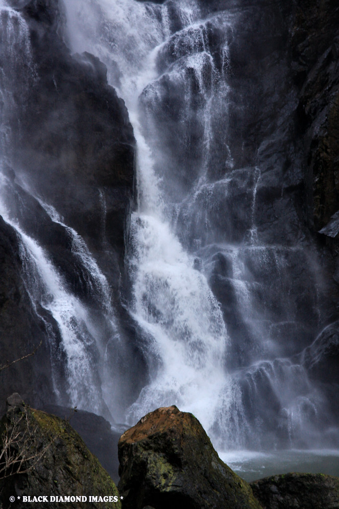
Ellenborough Falls

Platycerium bifurcatum fronds buried to look like a plant in Subtropical Rainforest - Boorganna Nature Reserve, Comboyne, NSW

Interpretive Signboard - Ellenborough Falls - Elands, NSW

Platycerium bifurcatum frond buried to look like a plant in Subtropical Rainforest - Boorganna Nature Reserve, Comboyne, NSW

Interpretive Signboard - Ellenborough Falls - Elands, NSW

Top of Ellenborough Falls - Elands, NSW
Ellenborough Falls - Bulga Plateau, Elands,NSW

Ellenborough Falls - Bulga Plateau, Elands,NSW
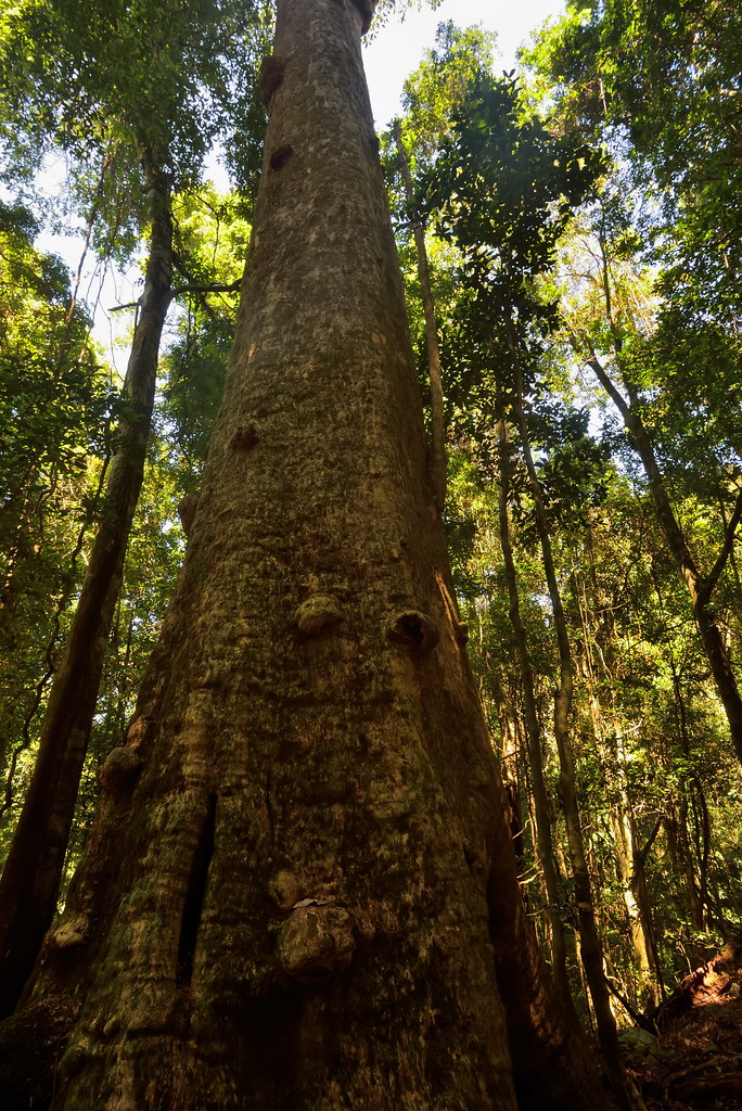
Rainforest Elder

Ellenborough Falls - Bulga Plateau, Elands,NSW

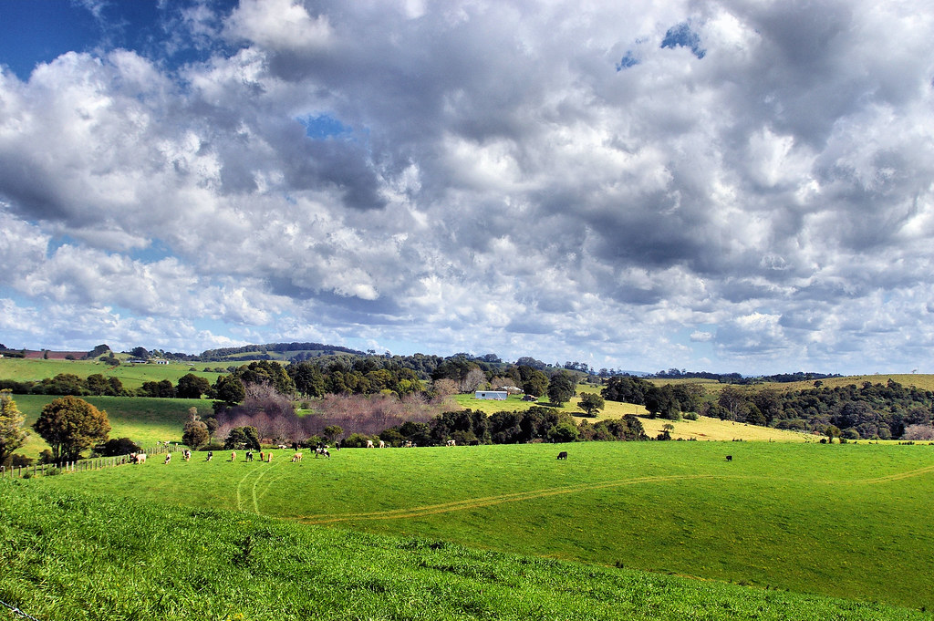
Views Coorabakh National Park From Upper Lansdowne, NSW

Lomandra longifolia and View To Mt Cockscomb, Upper Lansdowne, Manning Valley, NSW

Ellenborough Falls - Elands,NSW

Ellenborough Falls - Bulga Plateau, Elands,NSW

Triumph Tiger 800 XRx

Triumph Tiger 800 XRx

Low Cloud in the Former Marsh State Forest, Now Killabakh Nature Reserve, Killabakh, Manning Valley, NSW

Low Cloud on the Comboyne Wingham Road, Cyathea australiis, Killabakh Nature Reserve, Killabakh, Manning Valley, NSW

Little Plain Community Hall, Elands, NSW 24.5.14

ELLENBOROUGH FALLS NSW

Retour à Comboyne

Ford Over Lansdowne River, Coxcomb Rd, Upper Lansdowne, Manning Valley, NSW

Ellenbouroughfalls 3

Comboyne - Moments de vie

Near Mt Coxcomb, Upper Landsdowne, NSW

Ellenborough Falls, NSW, Australia

2009-10-15 10-18

Boulot à Comboyne
Comboyne Hills

Unknown Creek off Colling Rd, Comboyne Plateau
Topographic Map of Nature Domes, Toms Creek Rd, Toms Creek NSW, Australia
Find elevation by address:

Places near Nature Domes, Toms Creek Rd, Toms Creek NSW, Australia:
2001 Toms Creek Rd
357 Tilbaroo Crossing Rd
244 Ponsfords Rd
Comboyne Plateau
Comboyne
89 Mcmillans Rd
11 Toms Creek Rd
3/426 Mount Coxcomb Rd
Ellenborough
Long Flat
Coxcombe Park
Byabarra
1843 Comboyne Rd
Upper Lansdowne
Port Macquarie-hastings Council
25 Jones Rd
1070 Doyles River Rd
Greater Taree City Council
Birdwood
Deep Creek Road
Recent Searches:
- Elevation of Lumagwas Diversified Farmers Multi-Purpose Cooperative, Lumagwas, Adtuyon, RV32+MH7, Pangantucan, Bukidnon, Philippines
- Elevation of Homestead Ridge, New Braunfels, TX, USA
- Elevation of Orchard Road, Orchard Rd, Marlborough, NY, USA
- Elevation of 12 Hutchinson Woods Dr, Fletcher, NC, USA
- Elevation of Holloway Ave, San Francisco, CA, USA
- Elevation of Norfolk, NY, USA
- Elevation of - San Marcos Pass Rd, Santa Barbara, CA, USA
- Elevation of th Pl SE, Issaquah, WA, USA
- Elevation of 82- D Rd, Captain Cook, HI, USA
- Elevation of Harlow CM20 2PR, UK