Elevation of National Road, Guo Dao, Qinghai Sheng, China
Location: China > Qinghai > Golog > Madoi >
Longitude: 98.4218001
Latitude: 34.8320171
Elevation: 4220m / 13845feet
Barometric Pressure: 60KPa
Elevation Map:
Satellite Map:
Related Photos:

Flying Bar-headed Goose, Tibet 2018

Mato watershed landscape with Water Buttercup, Tibet 2014

Mato watershed landscape with Water Buttercup, Tibet 2014
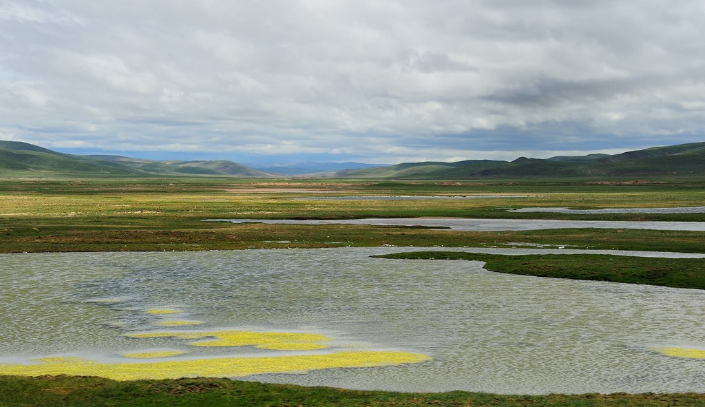
Mato watershed landscape with Water Buttercup, Tibet 2014
Topographic Map of National Road, Guo Dao, Qinghai Sheng, China
Find elevation by address:

Places near National Road, Guo Dao, Qinghai Sheng, China:
Recent Searches:
- Elevation of Blattner Rd, Philo, CA, USA
- Elevation of Polzela, Slovenia
- Elevation of Gorod Kislovodsk, Stavropol Krai, Russia
- Elevation of Kislovodsk, Stavropol Krai, Russia
- Elevation of Eagle Stone Drive, Eagle Stone Dr, The Preserve at Corkscrew, FL, USA
- Elevation of Formby Ct, Myrtle Beach, SC, USA
- Elevation of Hobbyhorse Ct, Dover, DE, USA
- Elevation of Horseshoe Ln, Dahlonega, GA, USA
- Elevation of Village Point Dr, Daphne, AL, USA
- Elevation map of Kabardino-Balkarian Republic, Russia