Elevation of National Forest Development Road, NF-, Brookings, OR, USA
Location: United States > Oregon > Curry County >
Longitude: -124.12704
Latitude: 42.1481823
Elevation: 444m / 1457feet
Barometric Pressure: 96KPa
Elevation Map:
Satellite Map:
Related Photos:

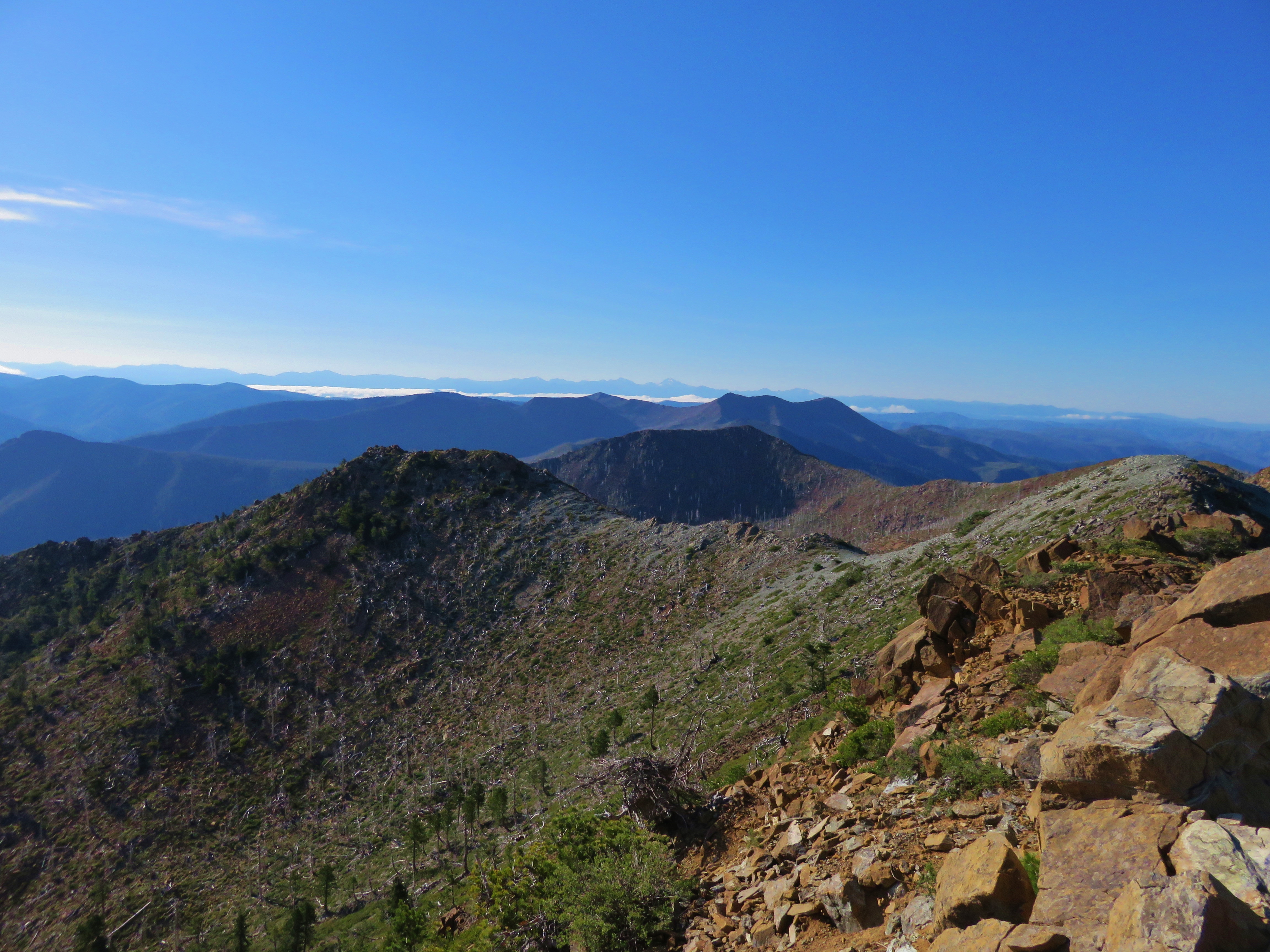
View from the Chetco Divide Trail
View from Vulcan Peak

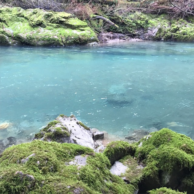
Chetco River Valey
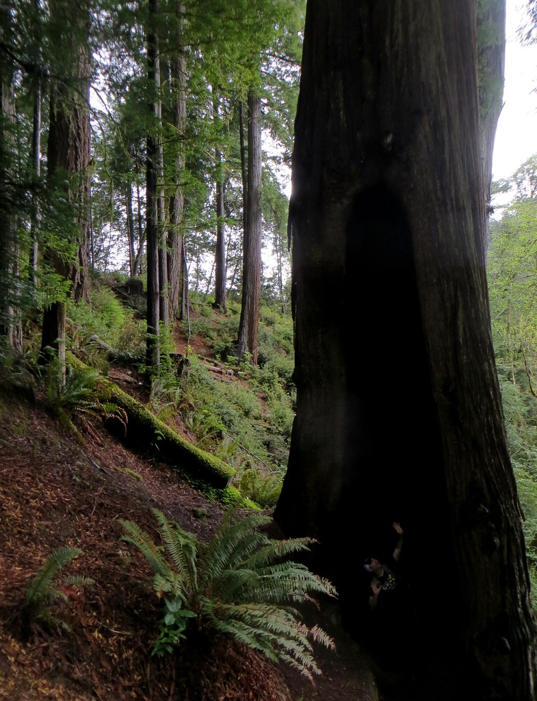
life inside a redwood
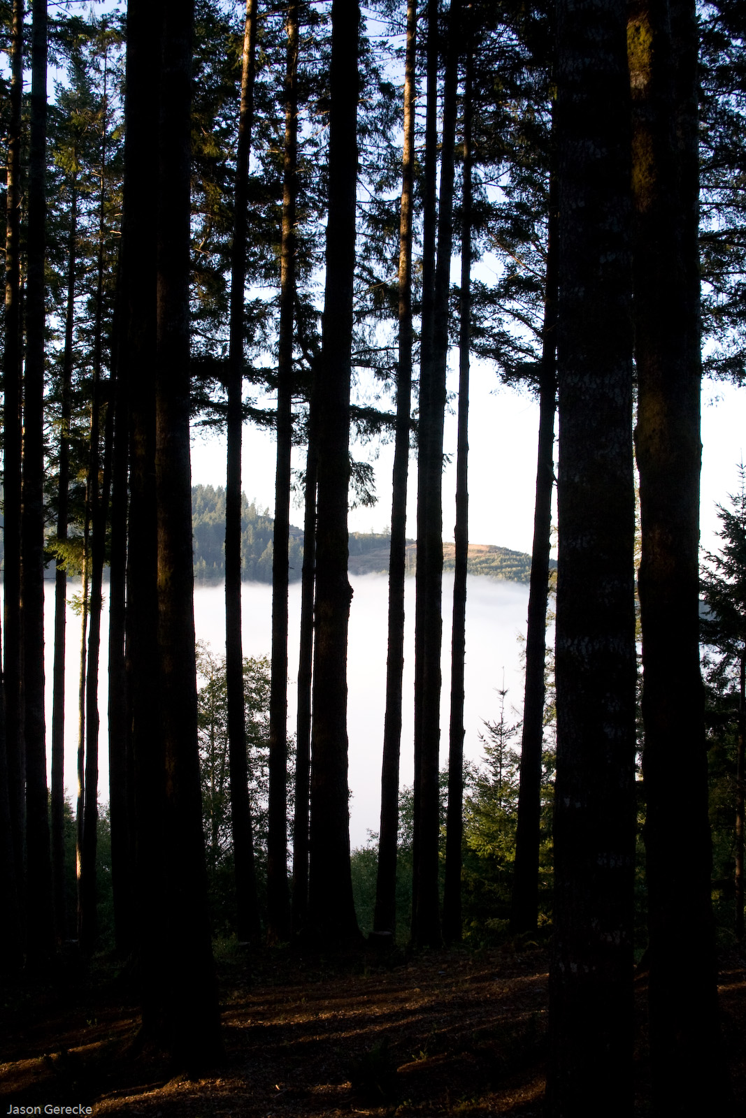
In the Clouds
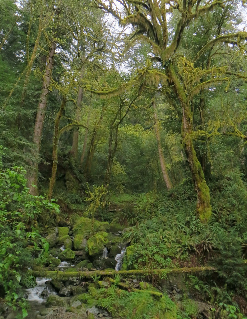
Redwood forest
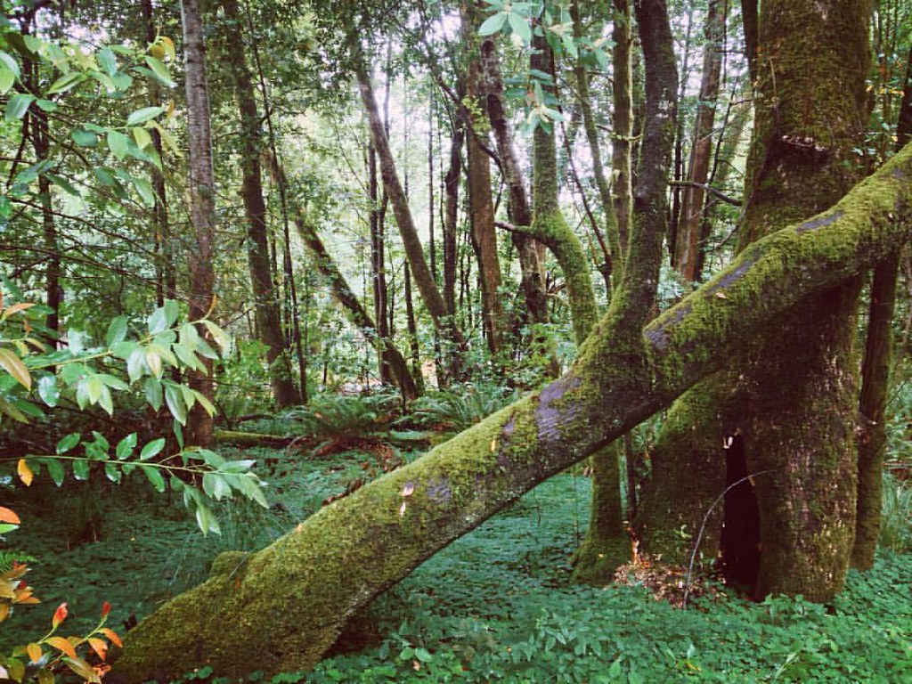
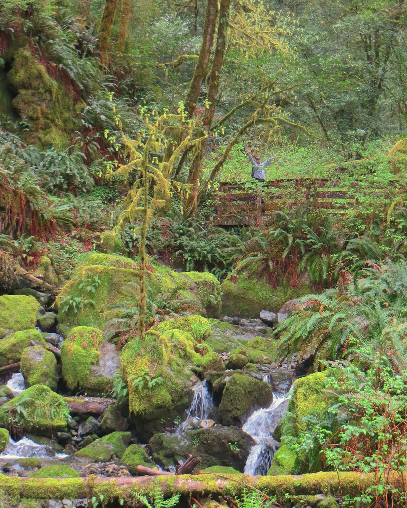
my green heaven
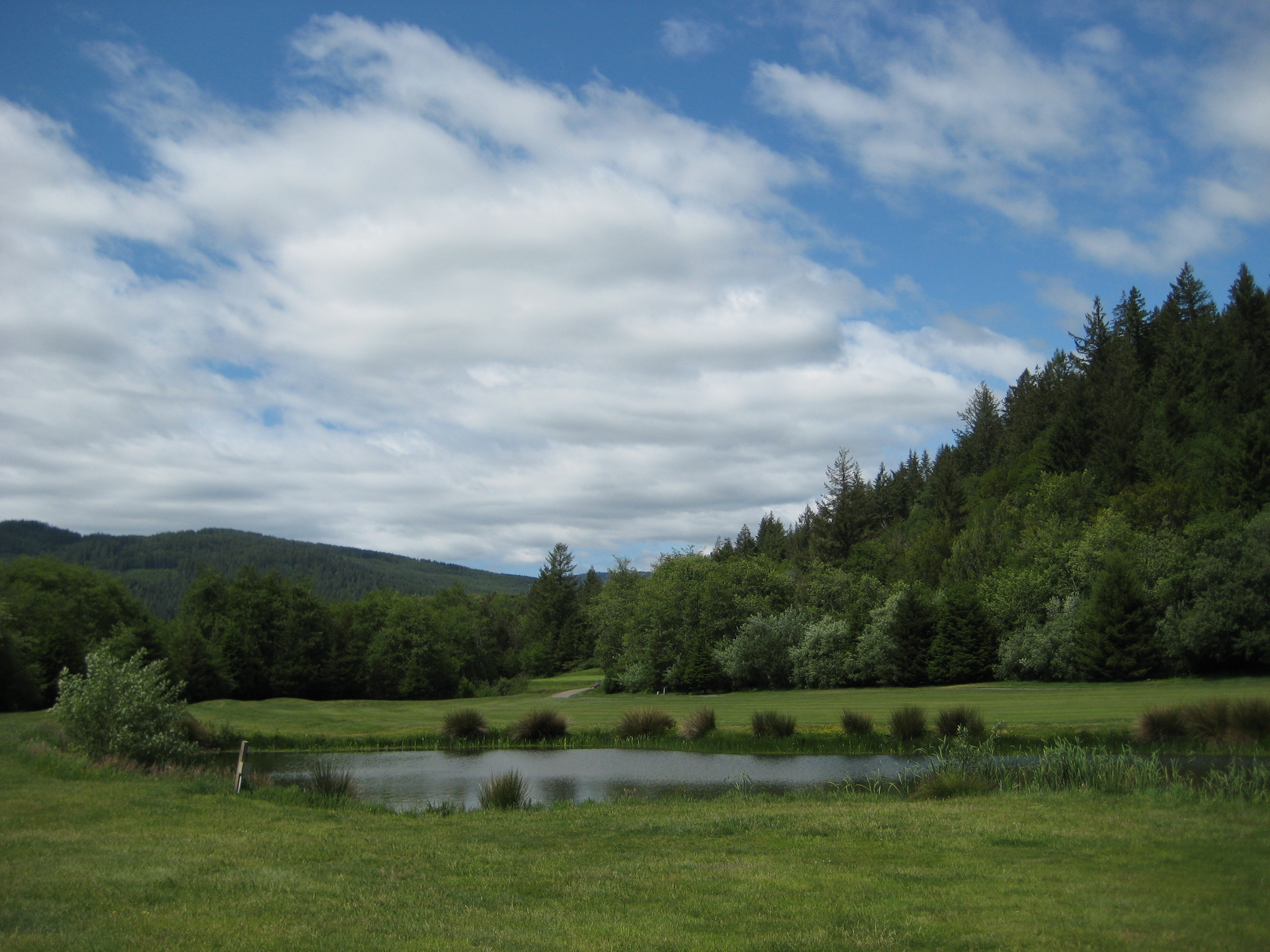
Salmon Run Sky and Pond
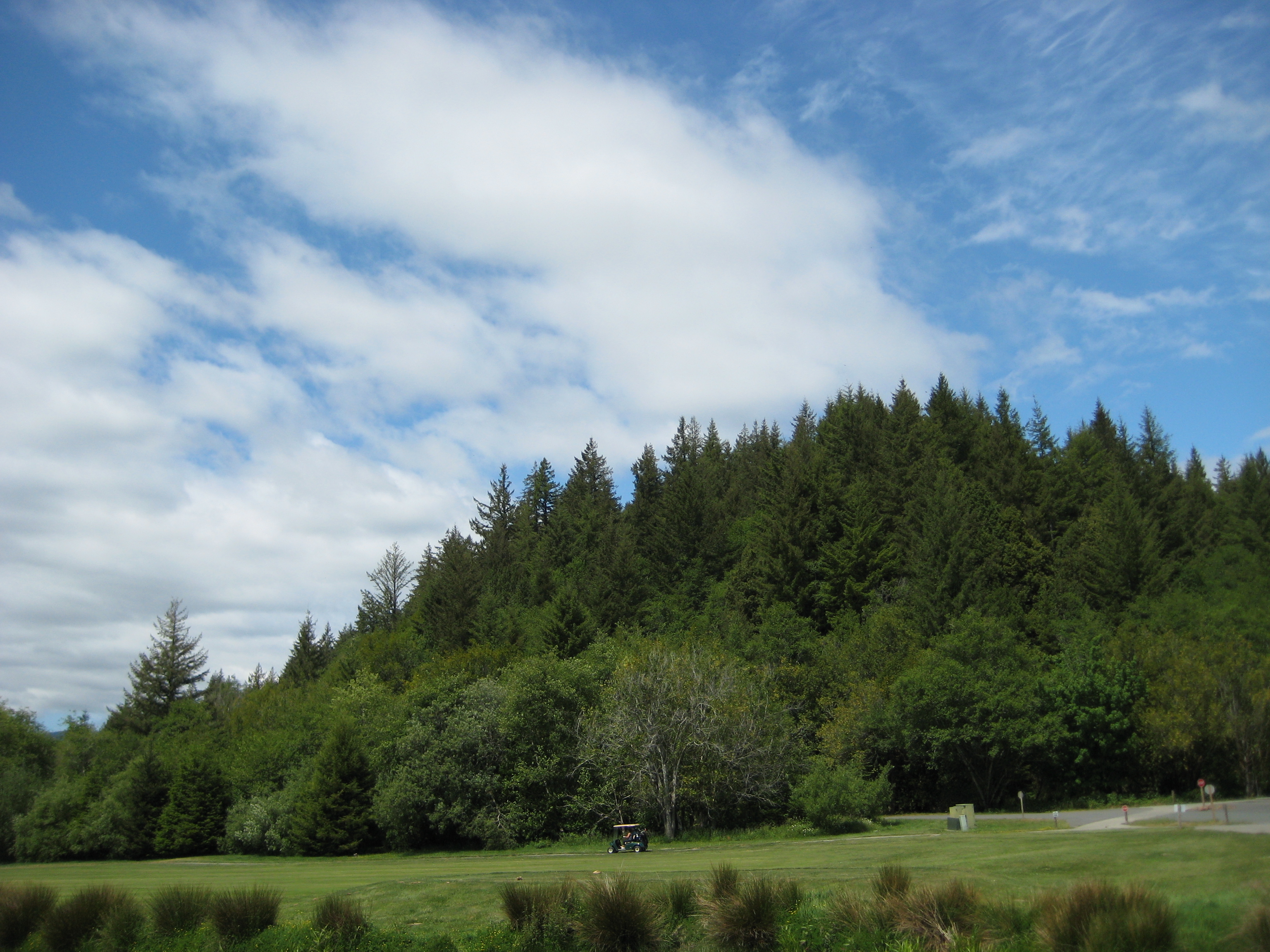
Salmon Run Sky
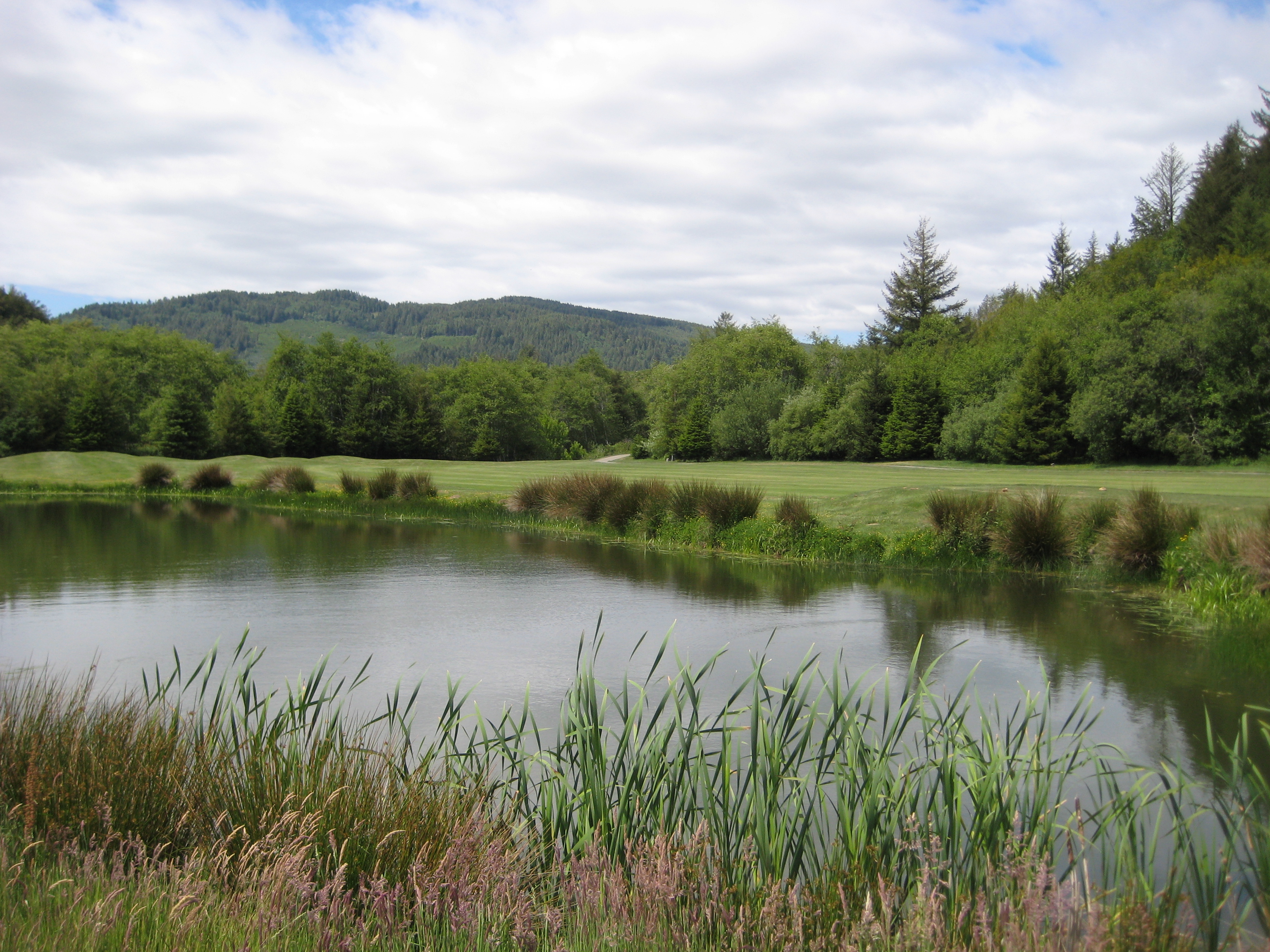
Salmon Run Pond
A different sort of Eternal Blue, Forever Green
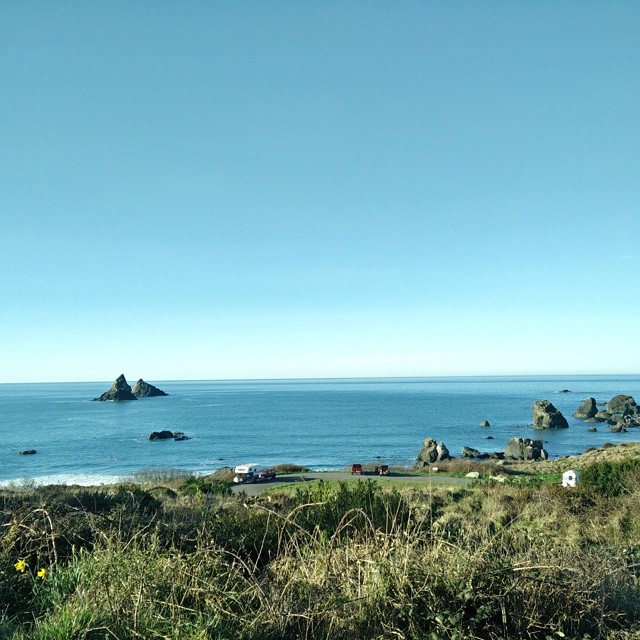
Oregon coast
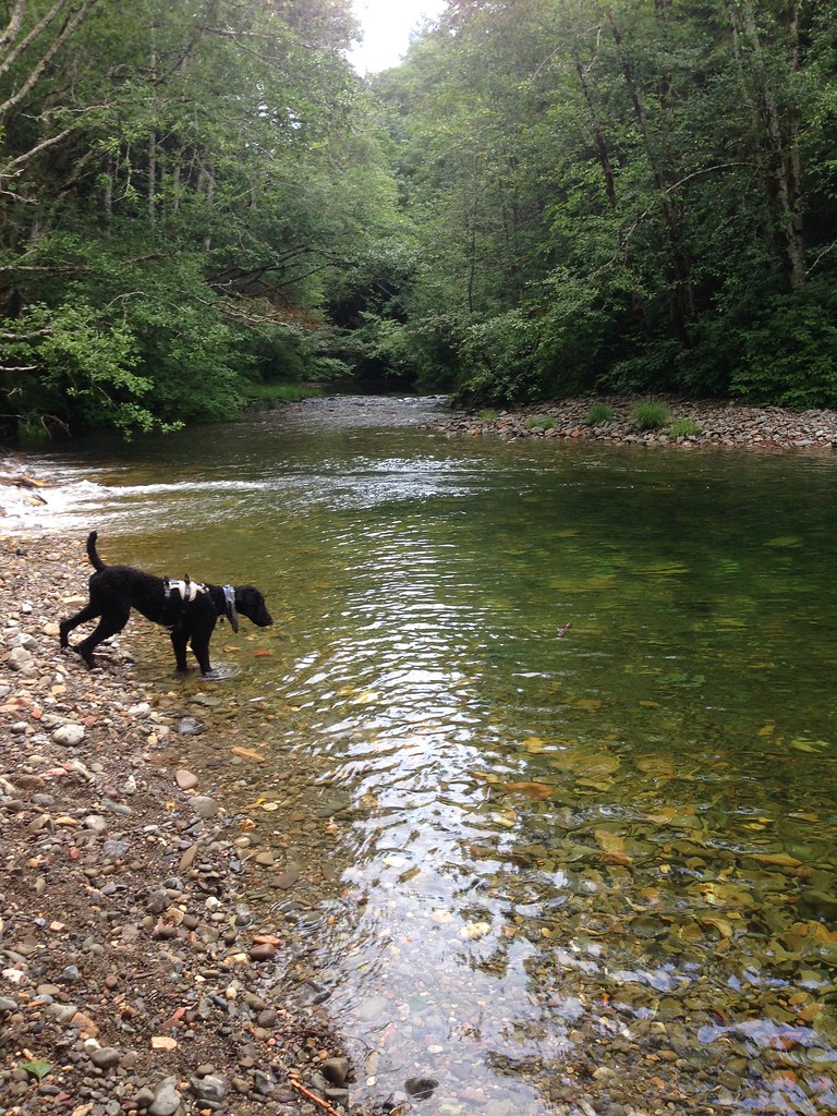
Winchuck River & Wheeler Creek
happy in the green, green forest
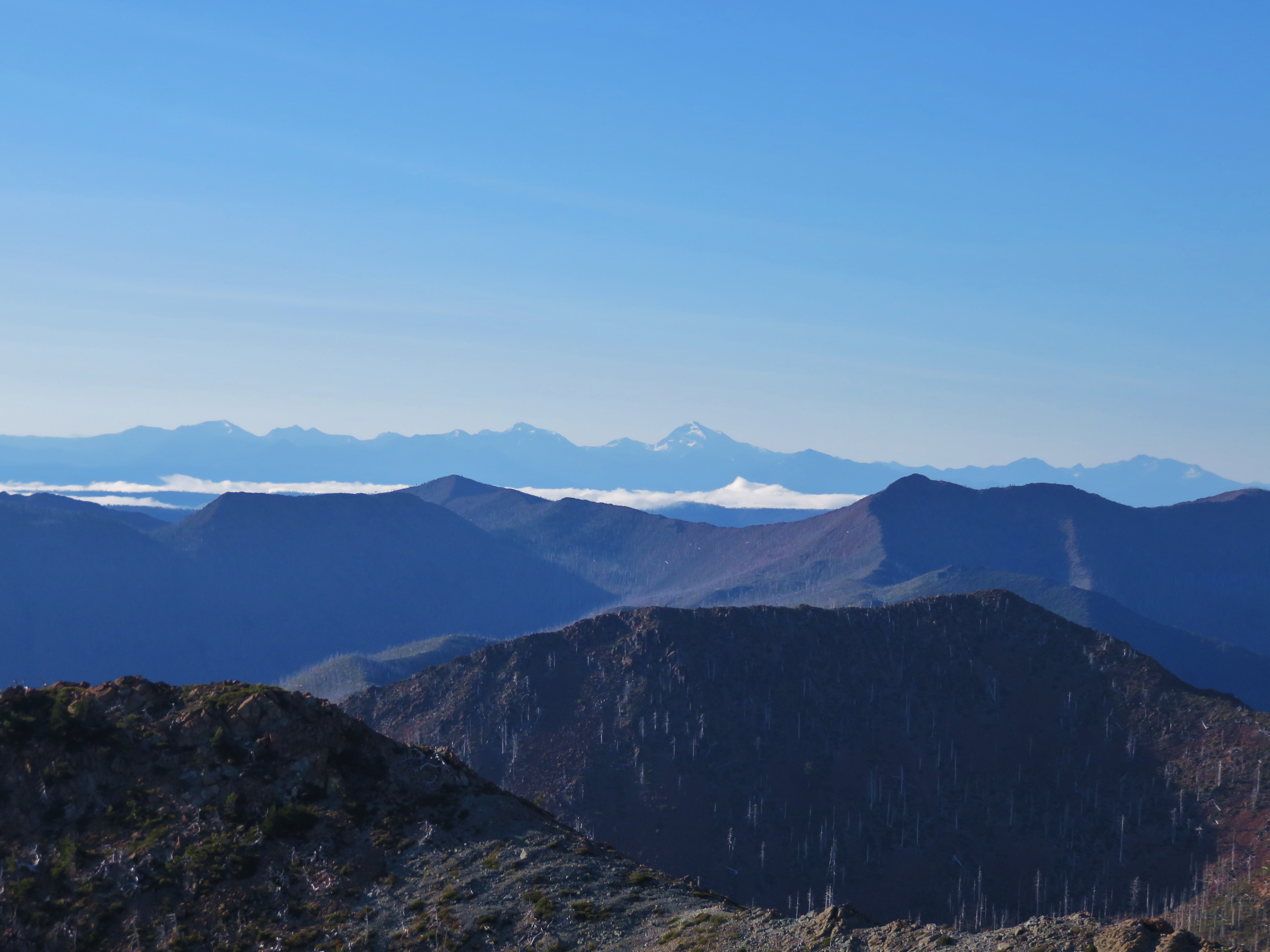
Lookout Mountain, Polar Bear Mountain, El Capitan, Copper Mountain, Preston Peak, Twin Peaks and Bear Mountain on the horizon to the SE

Wheeler Ridge Japanese Bomb Site

Ridge to the south of the Vulcan Peak Trail

Looking north from the Vulcan Peak Trail
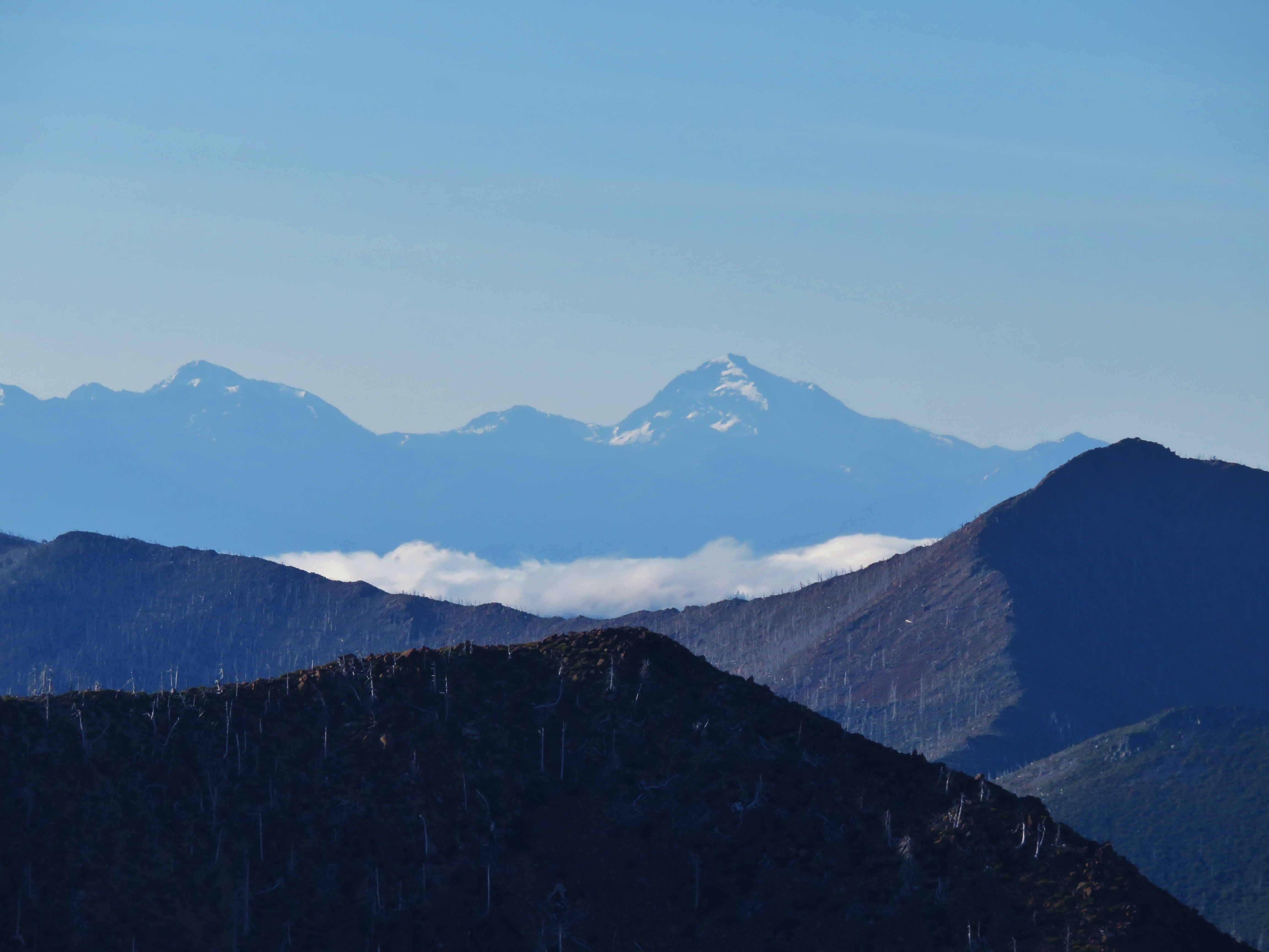
El Capitan, Copper Mountain and Preston Peak
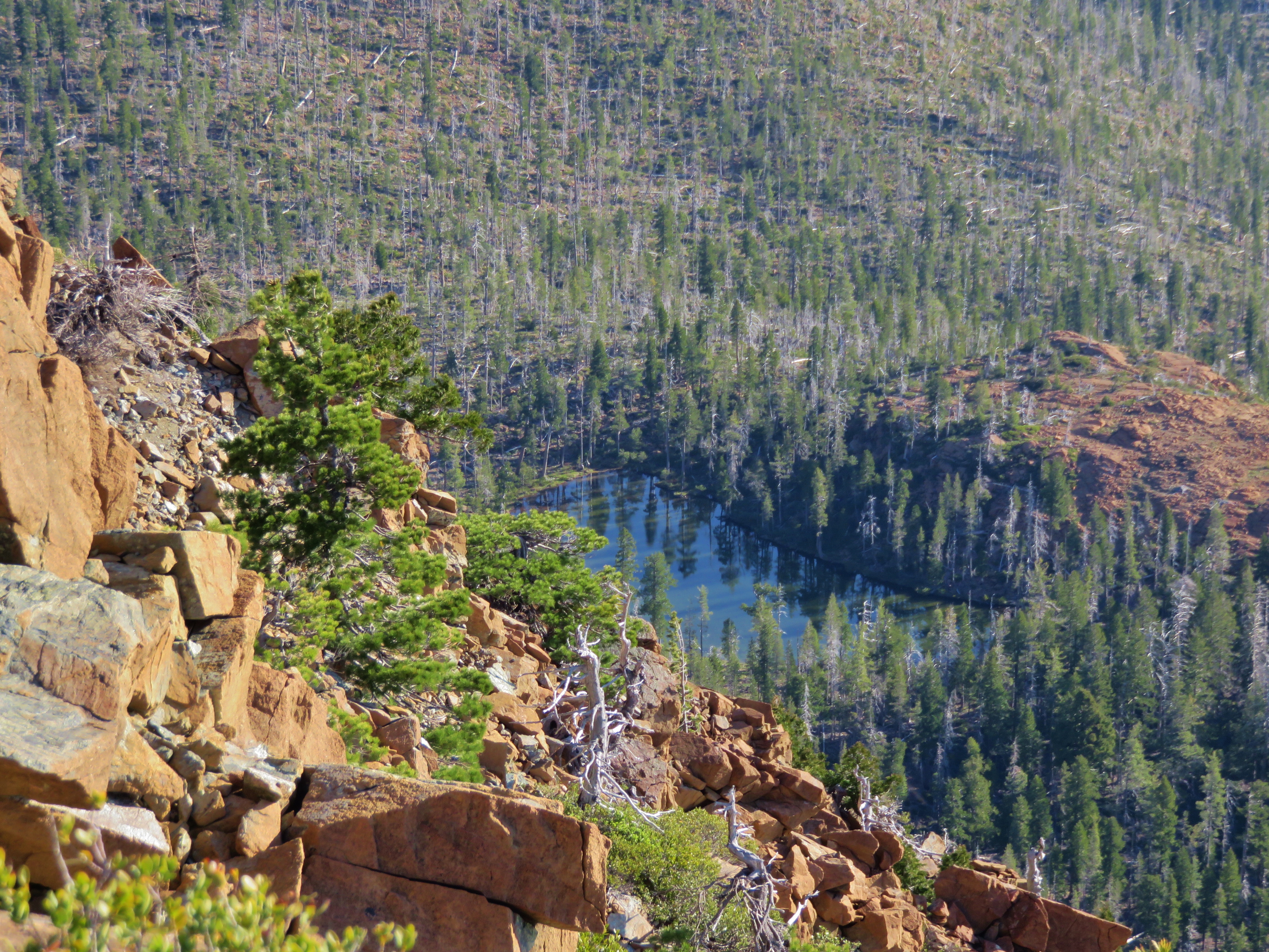
Little Vulcan Lake
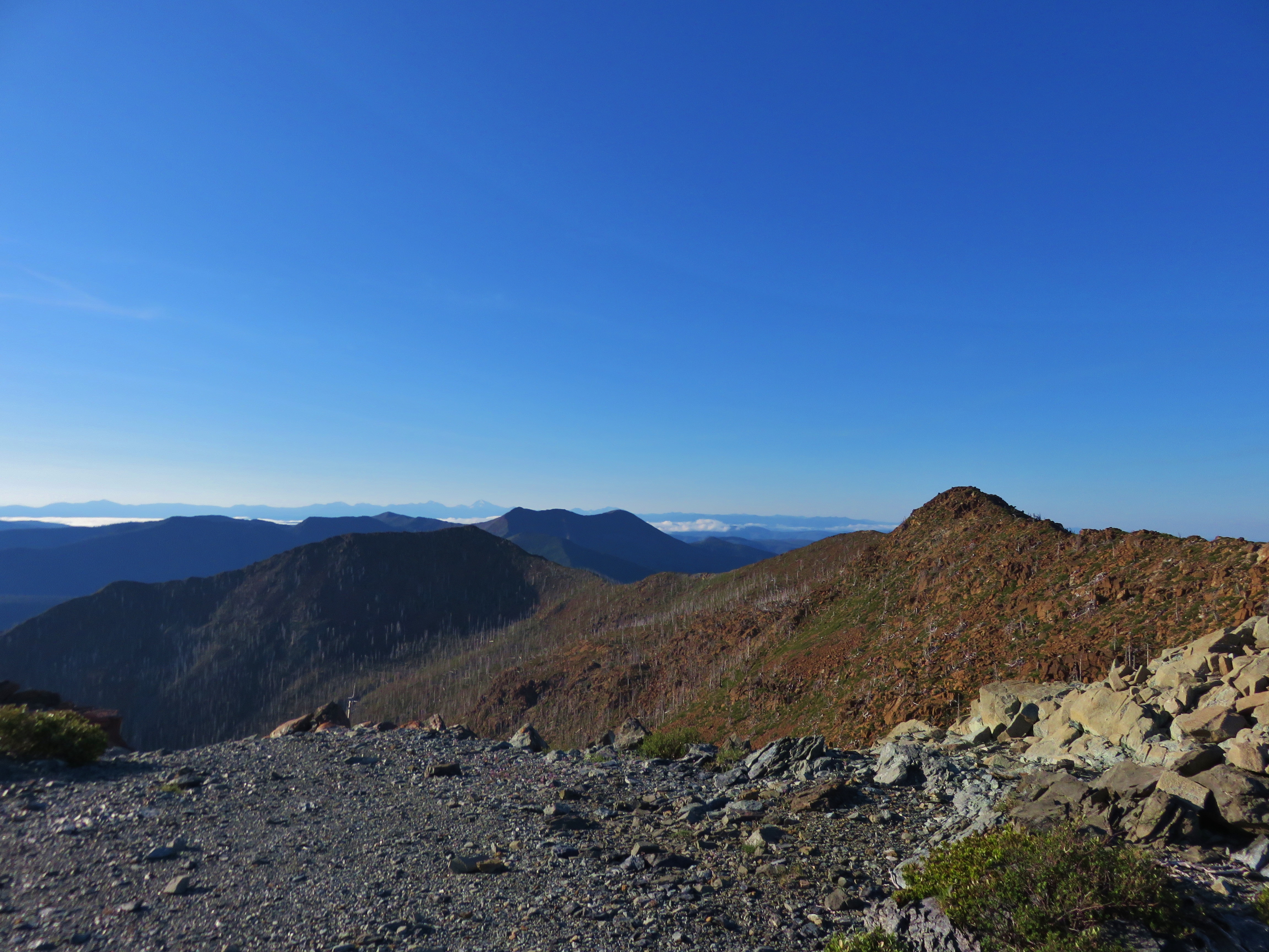
Looking SE from the Vulcan Peak Trail

Vulcan Peak Trail
Topographic Map of National Forest Development Road, NF-, Brookings, OR, USA
Find elevation by address:

Places near National Forest Development Road, NF-, Brookings, OR, USA:
National Forest Development Road 260
Wheeler Creek Natural Research Area
National Forest Development Road 1205
394 Winchuck River Rd
346 Winchuck River Rd
982 Keiser Ln
98393 E Cougar Ln
15610 Seaside Ct
14990 Oceanview Dr
Memory Ln, Brookings, OR, USA
217 Alder St
Buena Vista Loop
509 Memory Ln
Brookings
96521 Cape Ferrelo Rd
1107 Byrtus Pl
1521 Glenwood Dr
Wildwood Road
96343 Duley Creek Rd
Carpenterville Road
Recent Searches:
- Elevation of Gateway Blvd SE, Canton, OH, USA
- Elevation of East W.T. Harris Boulevard, E W.T. Harris Blvd, Charlotte, NC, USA
- Elevation of West Sugar Creek, Charlotte, NC, USA
- Elevation of Wayland, NY, USA
- Elevation of Steadfast Ct, Daphne, AL, USA
- Elevation of Lagasgasan, X+CQH, Tiaong, Quezon, Philippines
- Elevation of Rojo Ct, Atascadero, CA, USA
- Elevation of Flagstaff Drive, Flagstaff Dr, North Carolina, USA
- Elevation of Avery Ln, Lakeland, FL, USA
- Elevation of Woolwine, VA, USA