Elevation of Nathula, Tsomgo Lake, Gangtok, Sikkim, India
Location: India >
Longitude: 88.8311308
Latitude: 27.3868533
Elevation: 4297m / 14098feet
Barometric Pressure: 59KPa
Elevation Map:
Satellite Map:
Related Photos:
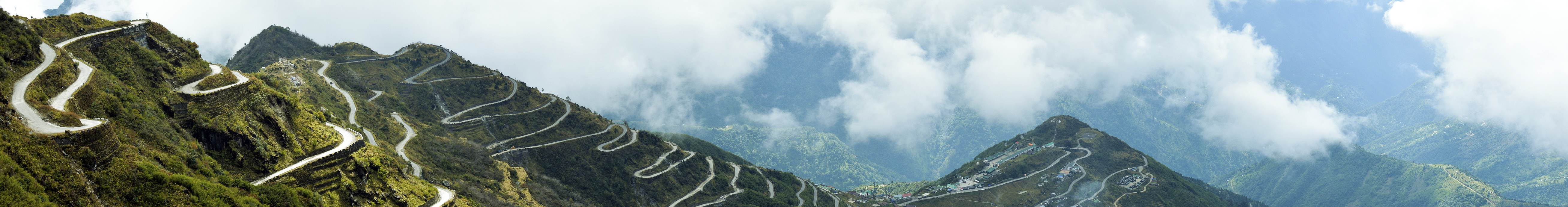
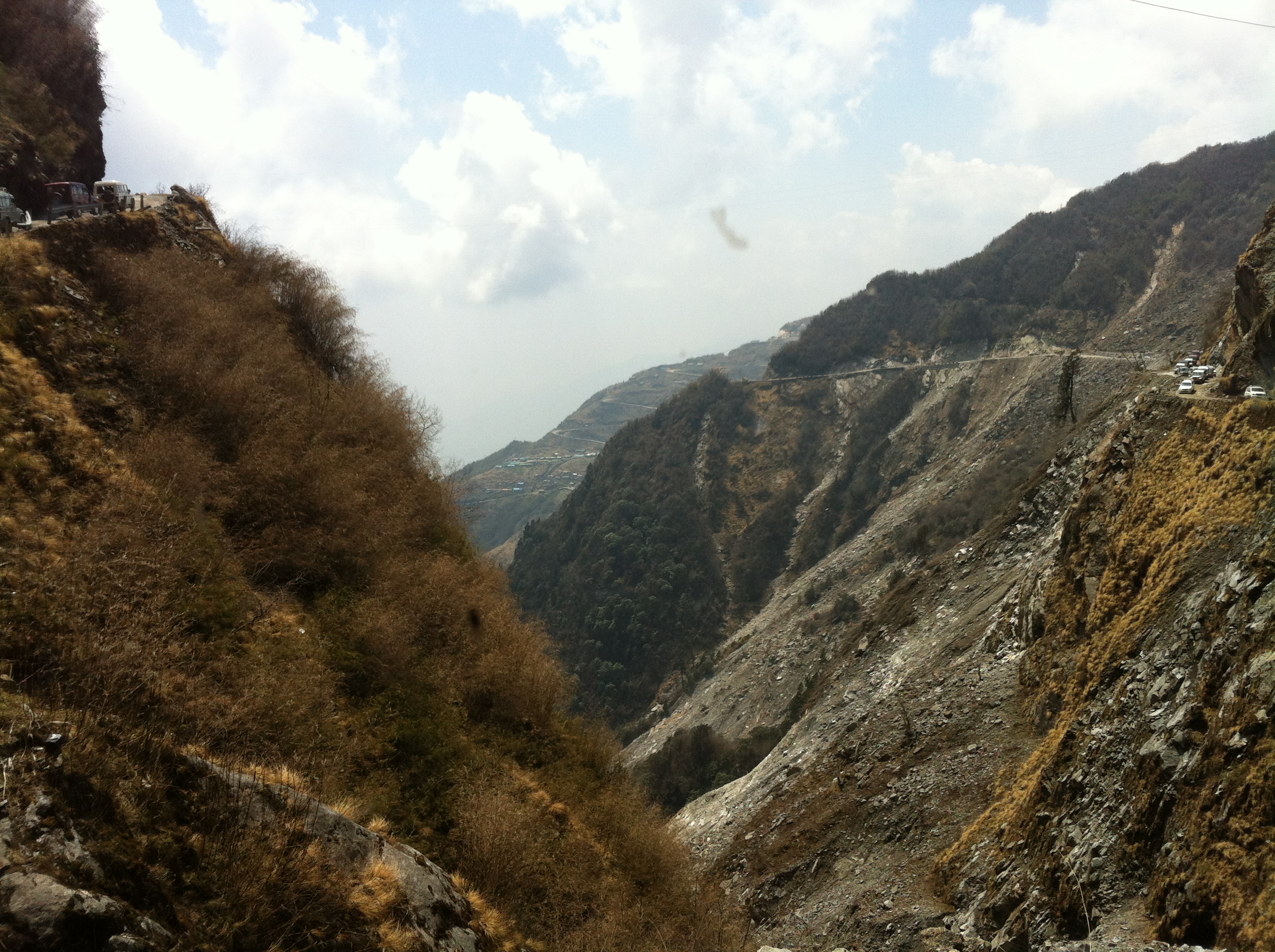
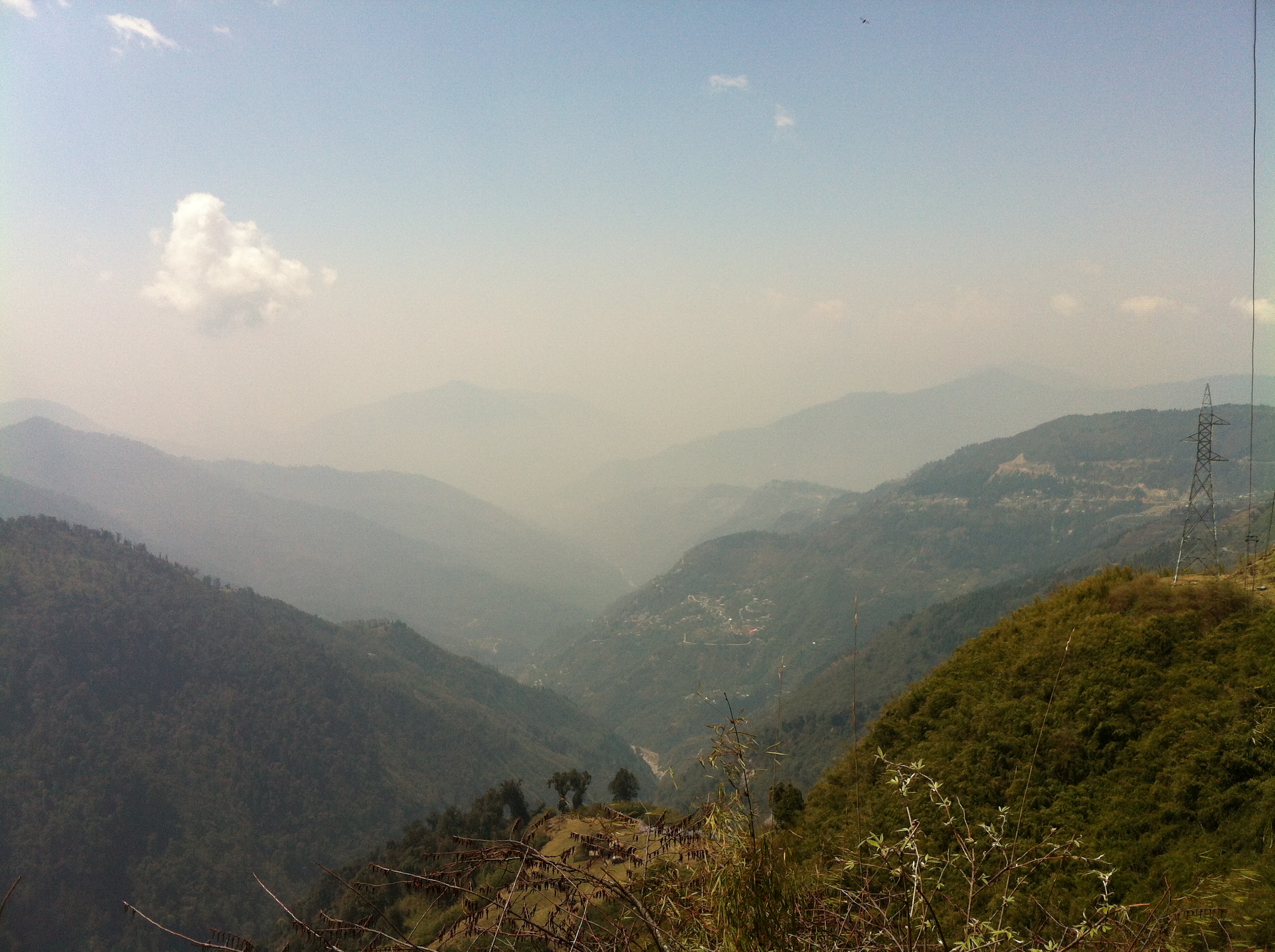
Silk Route Panorama

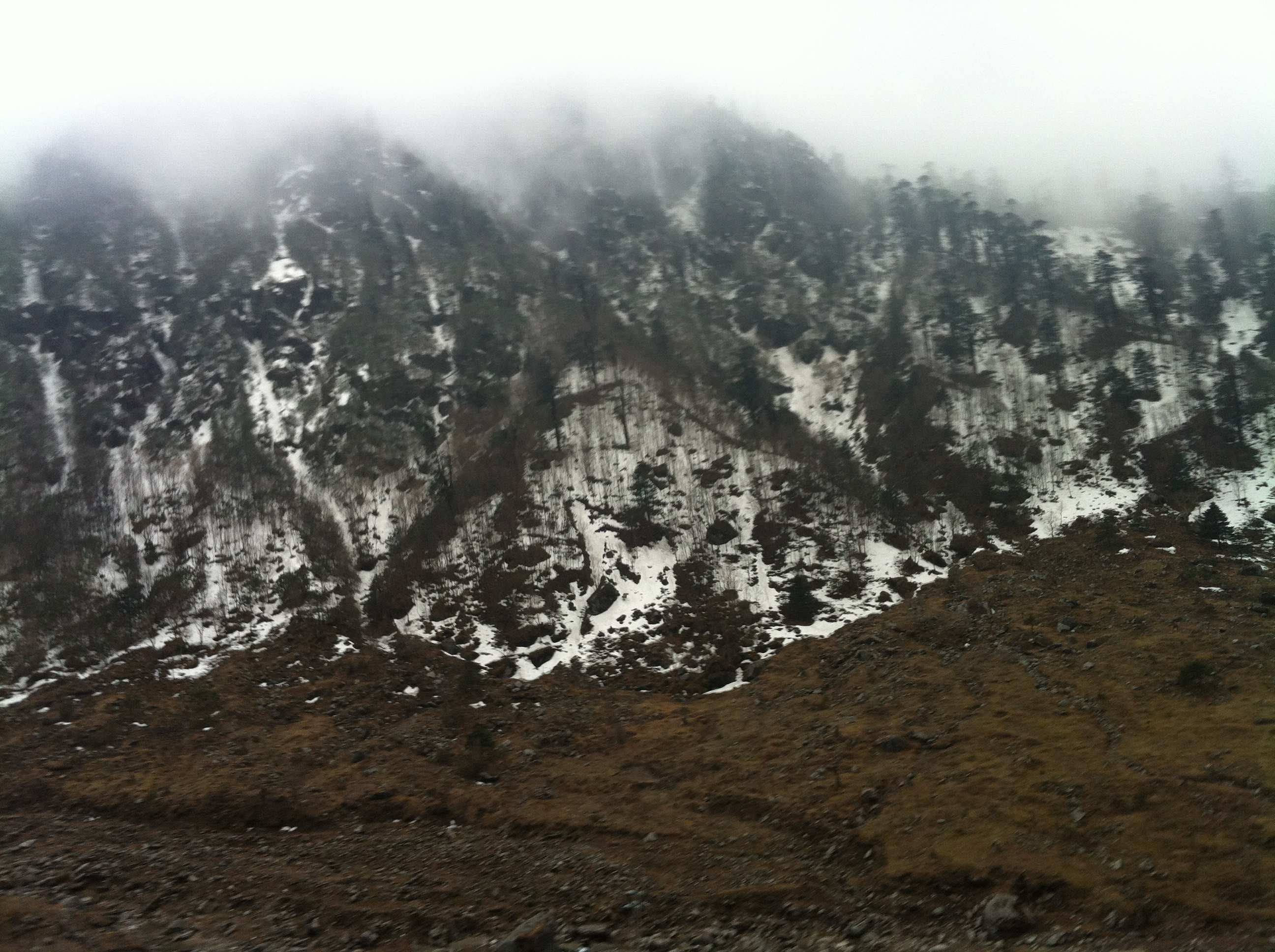
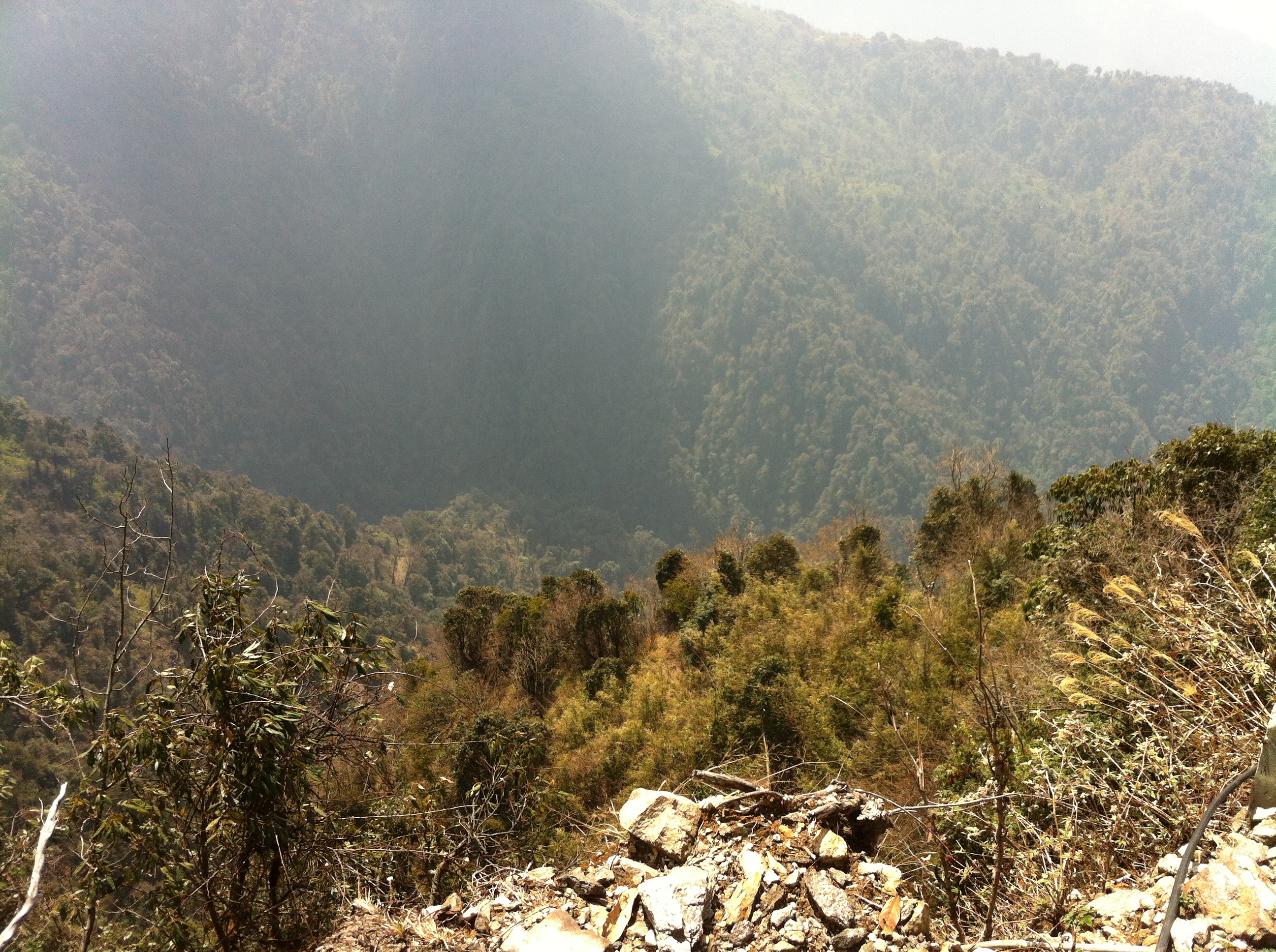
Sikkim Landscape

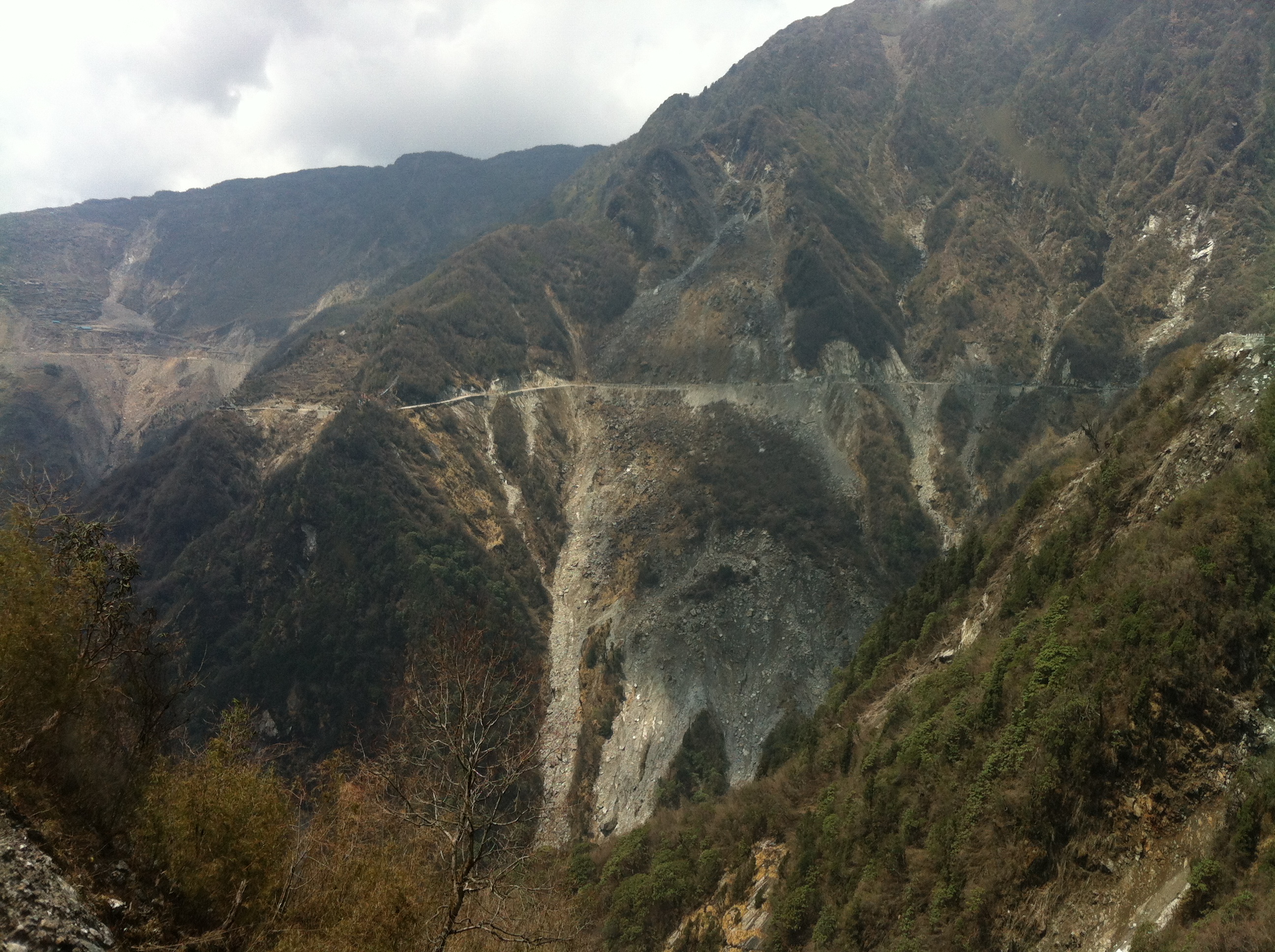
More Dangerous curves ahead

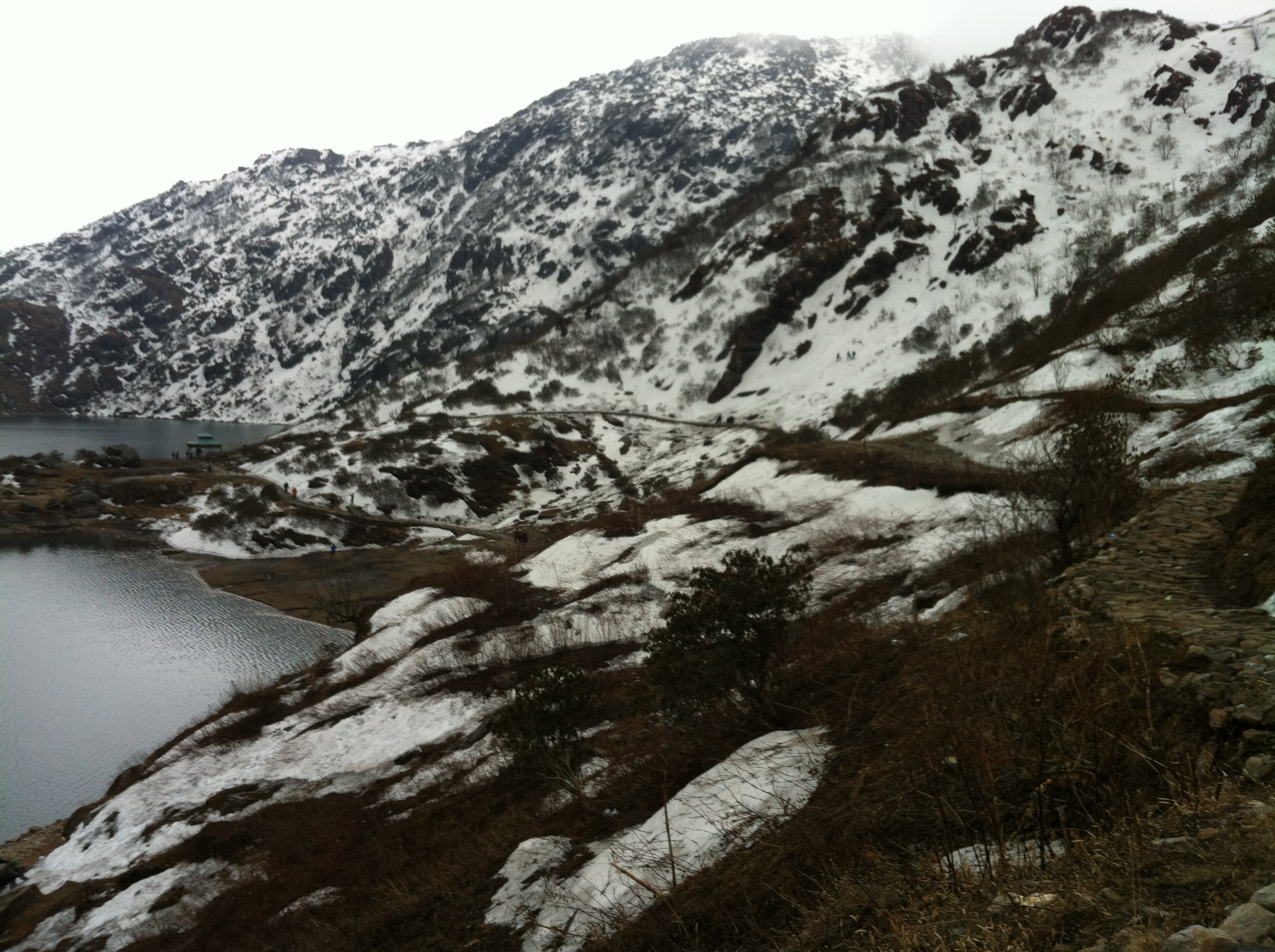
Changu Lake, Sikkim

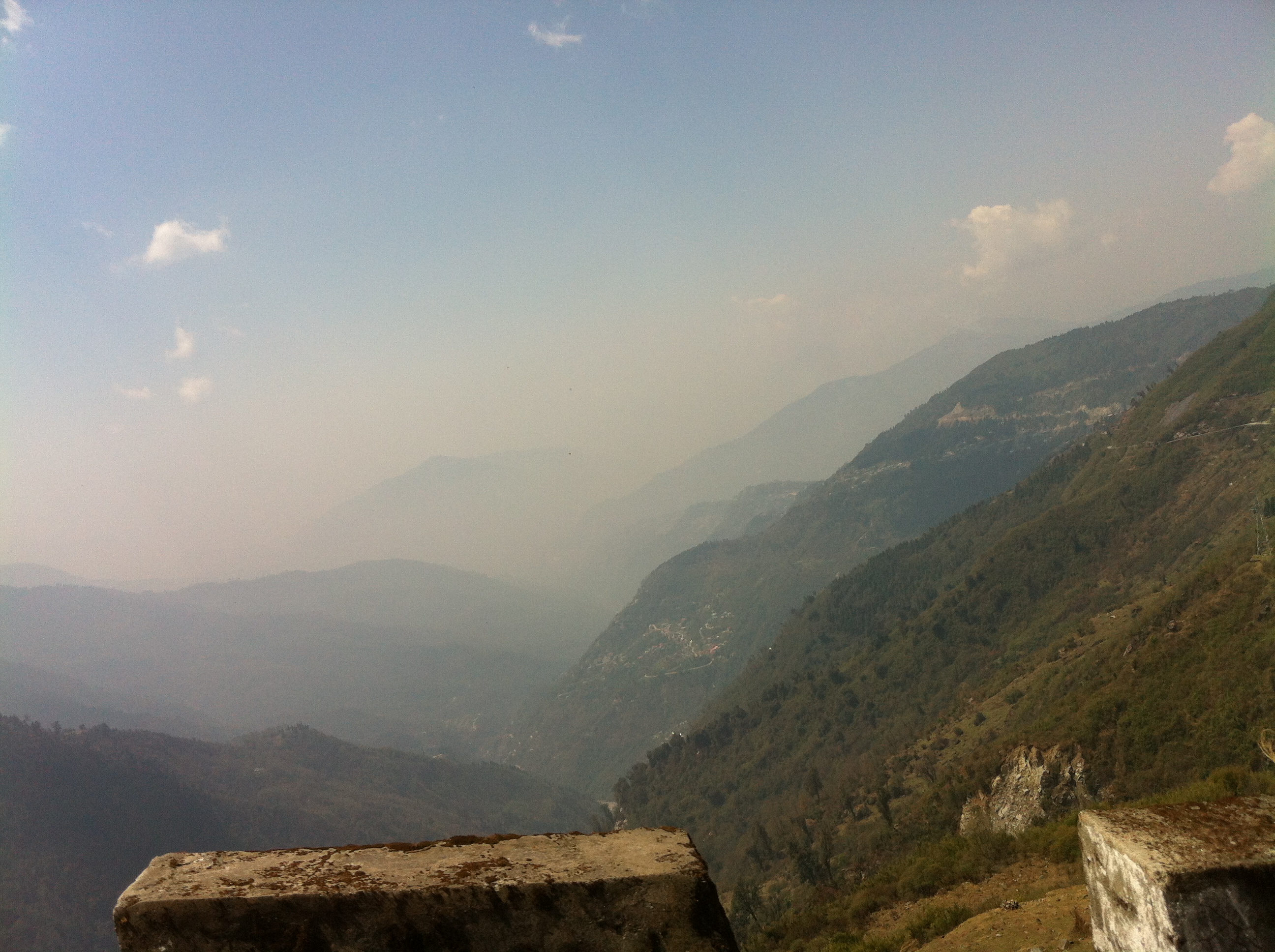
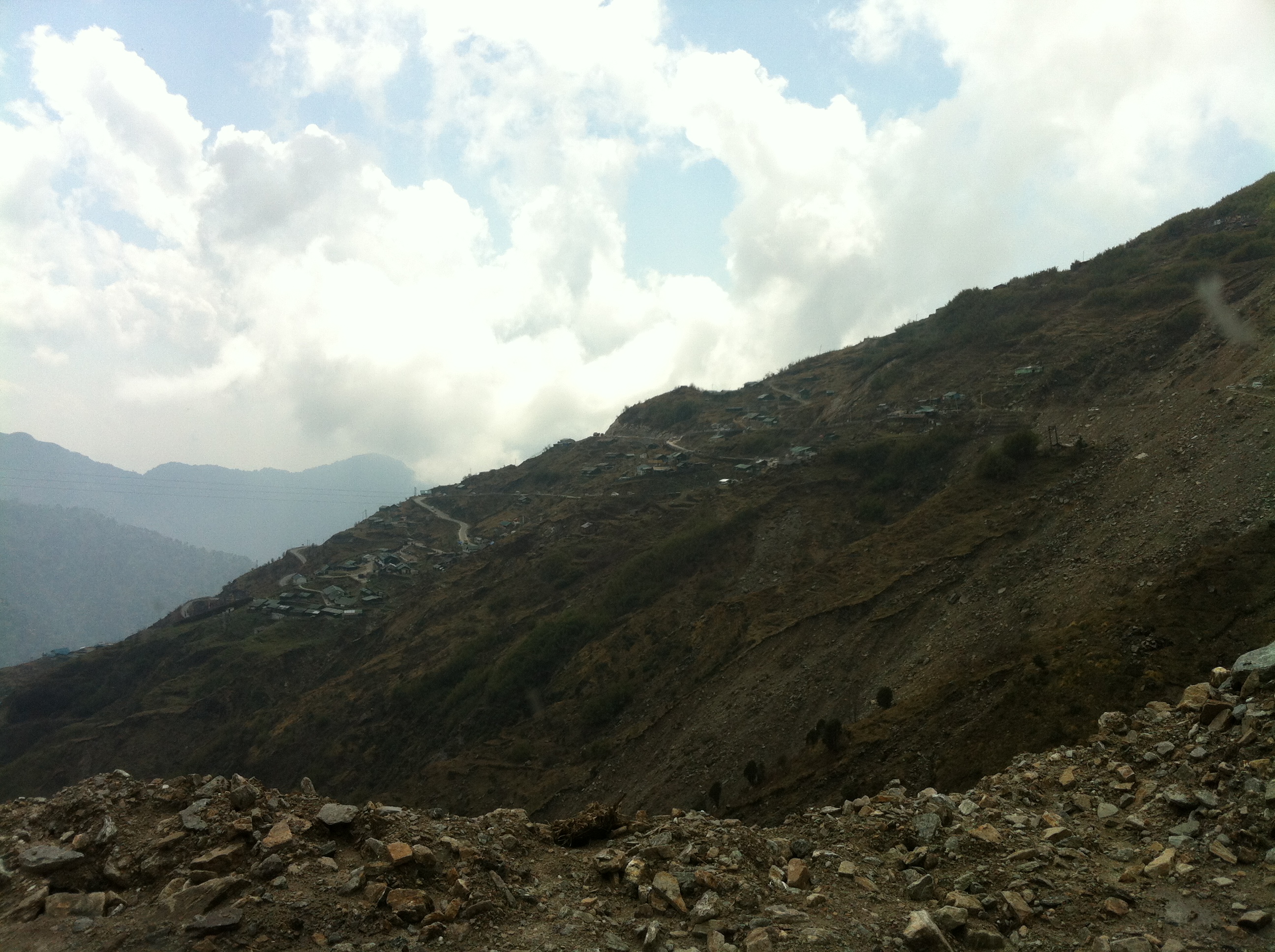
Sikkim Landscape

The Man With A Yak
Beautiful lakes.. #lakes #nathulapass #gangtok #photographer #landscape_lovers #landscape #travelgram #travel #solotravel #bluewater #beautiful
india 319
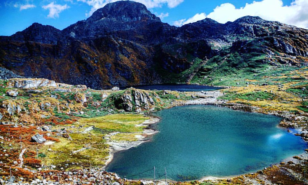
Tsomgo Lake, Sikkim

india 318
india 329
india 292

india 234

india 305
india 289
india 254
india 260
india 280
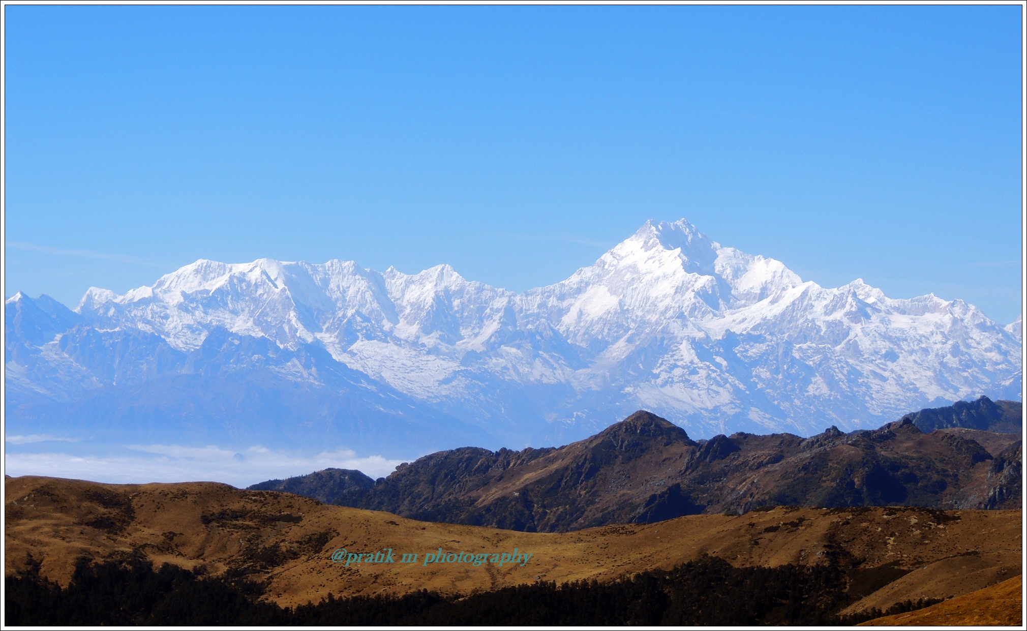
The peak
india 266

india 287

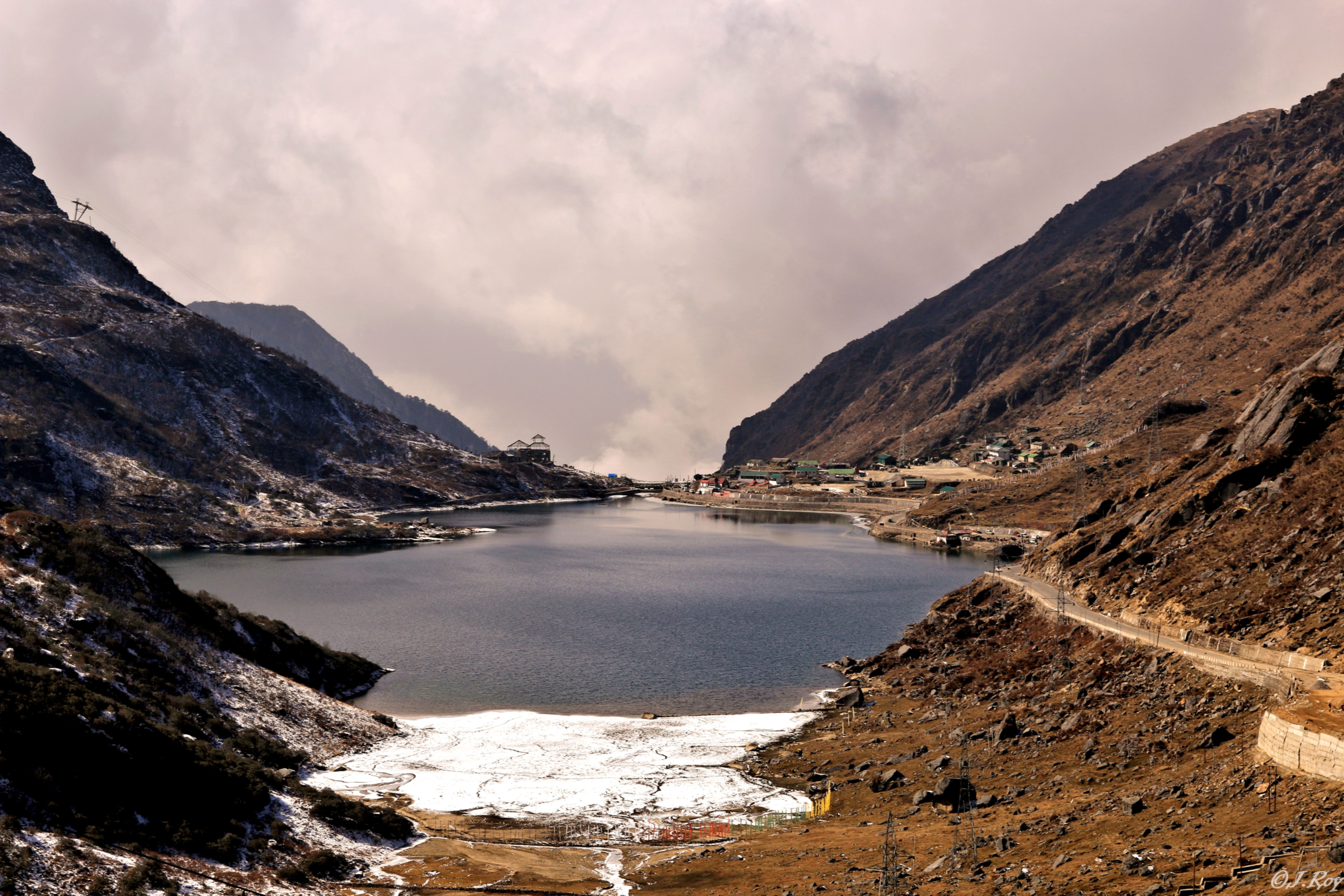
Tsomgo Lake
Topographic Map of Nathula, Tsomgo Lake, Gangtok, Sikkim, India
Find elevation by address:

Places near Nathula, Tsomgo Lake, Gangtok, Sikkim, India:
Nathula
Jelep La
Tsongmo Lake
Sikkim, India
Asang
Yadong
Doklam Platue
Zuluk
East Sikkim
Tashiling Residency Hotel & Spa
Assam
Rongli
Rongli Bazar
Tashiling Secretariat
Gangtok
Vishal Gaon
Aritar Lake
Aritar
Reshi
Rangpo-rorathang Road
Recent Searches:
- Elevation of 6 Rue Jules Ferry, Beausoleil, France
- Elevation of Sattva Horizon, 4JC6+G9P, Vinayak Nagar, Kattigenahalli, Bengaluru, Karnataka, India
- Elevation of Great Brook Sports, Gold Star Hwy, Groton, CT, USA
- Elevation of 10 Mountain Laurels Dr, Nashua, NH, USA
- Elevation of 16 Gilboa Ln, Nashua, NH, USA
- Elevation of Laurel Rd, Townsend, TN, USA
- Elevation of 3 Nestling Wood Dr, Long Valley, NJ, USA
- Elevation of Ilungu, Tanzania
- Elevation of Yellow Springs Road, Yellow Springs Rd, Chester Springs, PA, USA
- Elevation of Rēzekne Municipality, Latvia