Elevation of Narok, Kenya
Location: Kenya > Narok County >
Longitude: 35.8770642
Latitude: -1.0875428
Elevation: 1875m / 6152feet
Barometric Pressure: 81KPa
Elevation Map:
Satellite Map:
Related Photos:

Rocky Road, Lake Naivasha to Masai Mara, Kenya
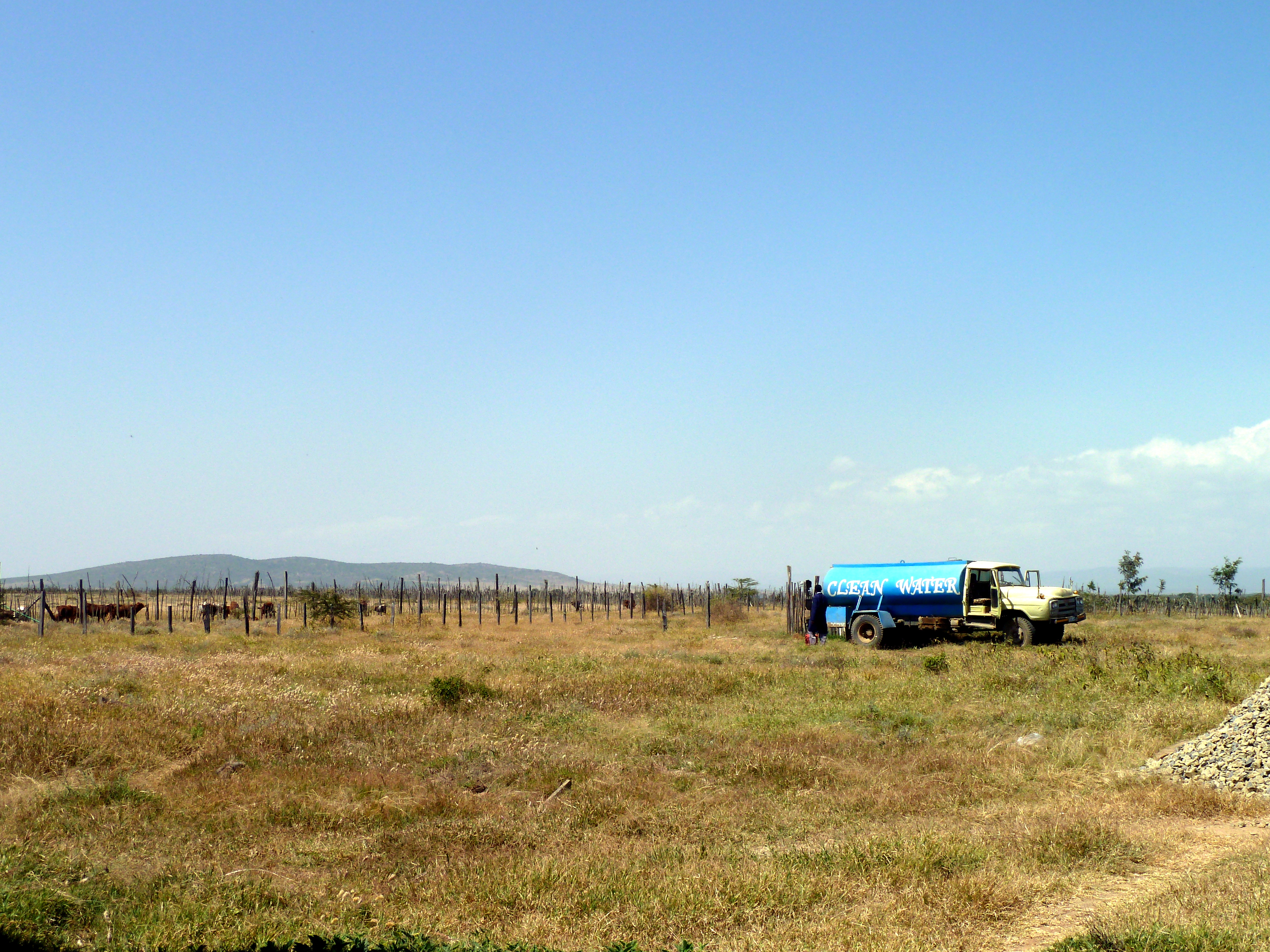
Clean water
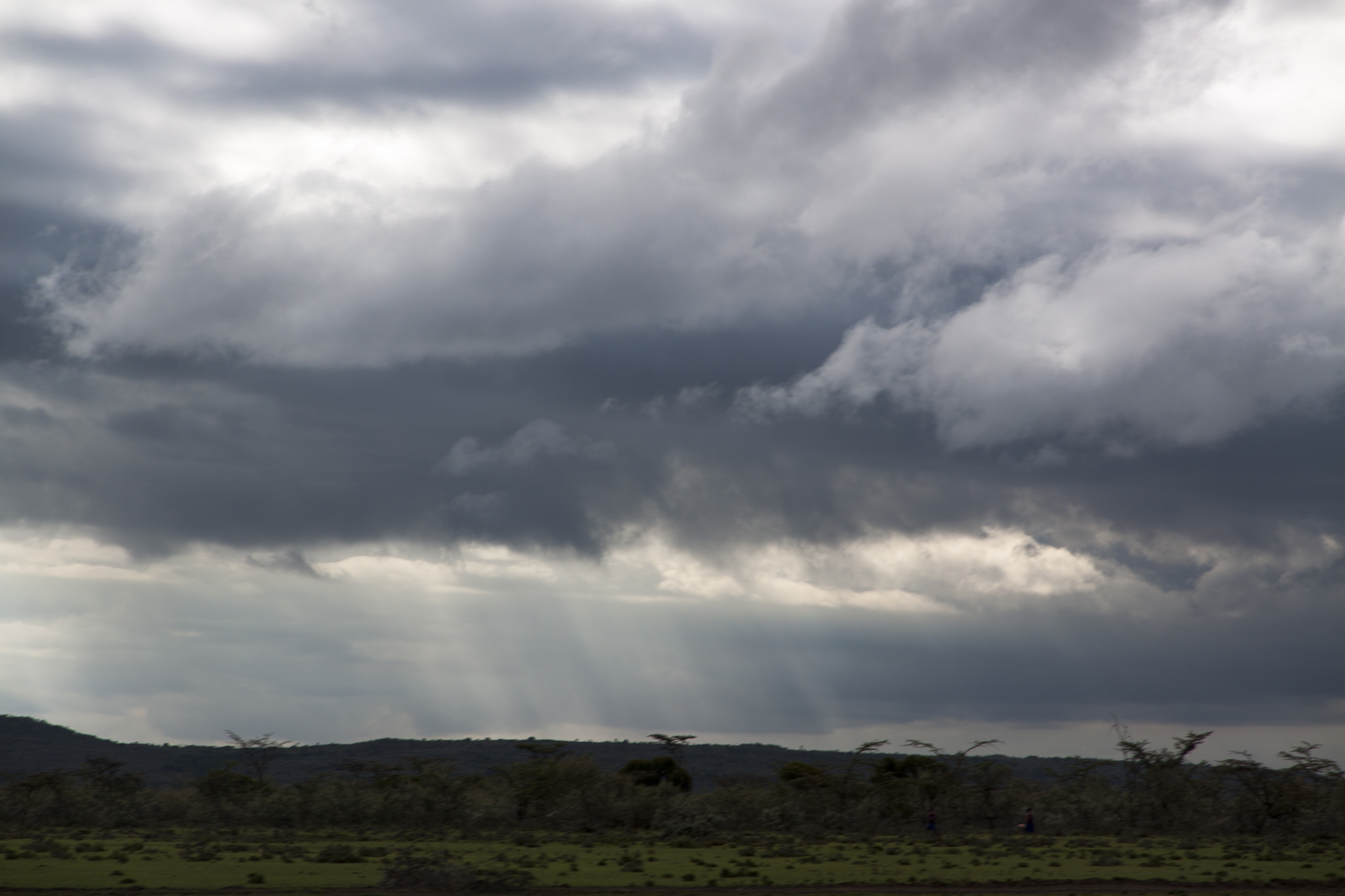
lights crossing clouds
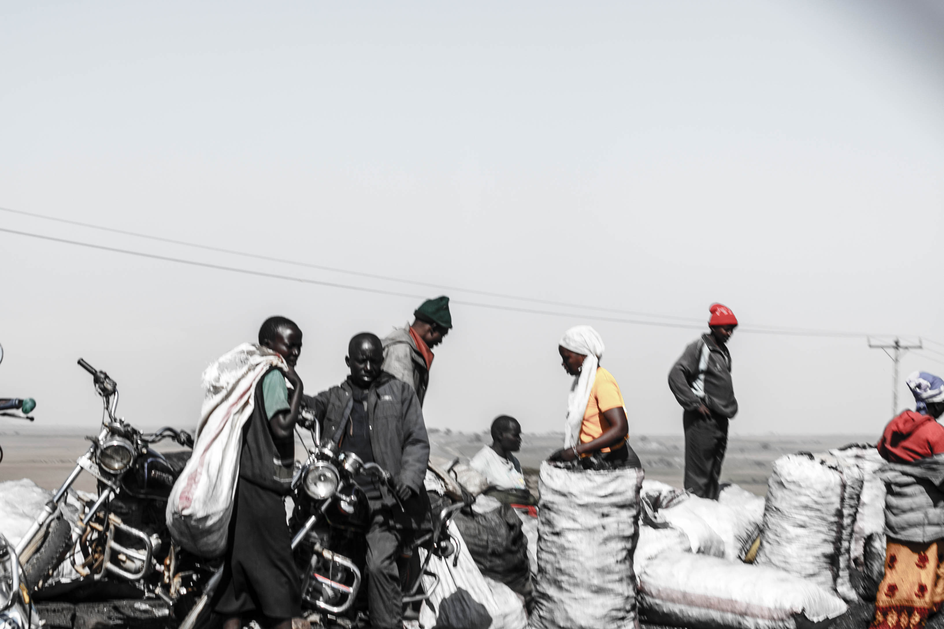
true colors
Topographic Map of Narok, Kenya
Find elevation by address:

Places near Narok, Kenya:
Mara Serena Safari Lodge
Narok County
Narok Town
Ololulunga
Mount Suswa
Olkaria
Tarambete
Kianjoya Primary School
Lake Naivasha Sopa Lodge
Lake Naivasha
Bomet
Kaboson
Chebara
Bomet County
Chebara Primary School
Naivasha
Fairmont Mara Safari Club
Nakuru
Kiambogo Primary School
Kugerwet
Recent Searches:
- Elevation of Congressional Dr, Stevensville, MD, USA
- Elevation of Bellview Rd, McLean, VA, USA
- Elevation of Stage Island Rd, Chatham, MA, USA
- Elevation of Shibuya Scramble Crossing, 21 Udagawacho, Shibuya City, Tokyo -, Japan
- Elevation of Jadagoniai, Kaunas District Municipality, Lithuania
- Elevation of Pagonija rock, Kranto 7-oji g. 8"N, Kaunas, Lithuania
- Elevation of Co Rd 87, Jamestown, CO, USA
- Elevation of Tenjo, Cundinamarca, Colombia
- Elevation of Côte-des-Neiges, Montreal, QC H4A 3J6, Canada
- Elevation of Bobcat Dr, Helena, MT, USA