Elevation of Narayanpur, Chhattisgarh, India
Location: India > Chhattisgarh > Narayanpur >
Longitude: 81.2471973
Latitude: 19.7195568
Elevation: 551m / 1808feet
Barometric Pressure: 95KPa
Elevation Map:
Satellite Map:
Related Photos:

125th Anniversary of Swami Vivekananda's Chicago Addresses, Narianpur
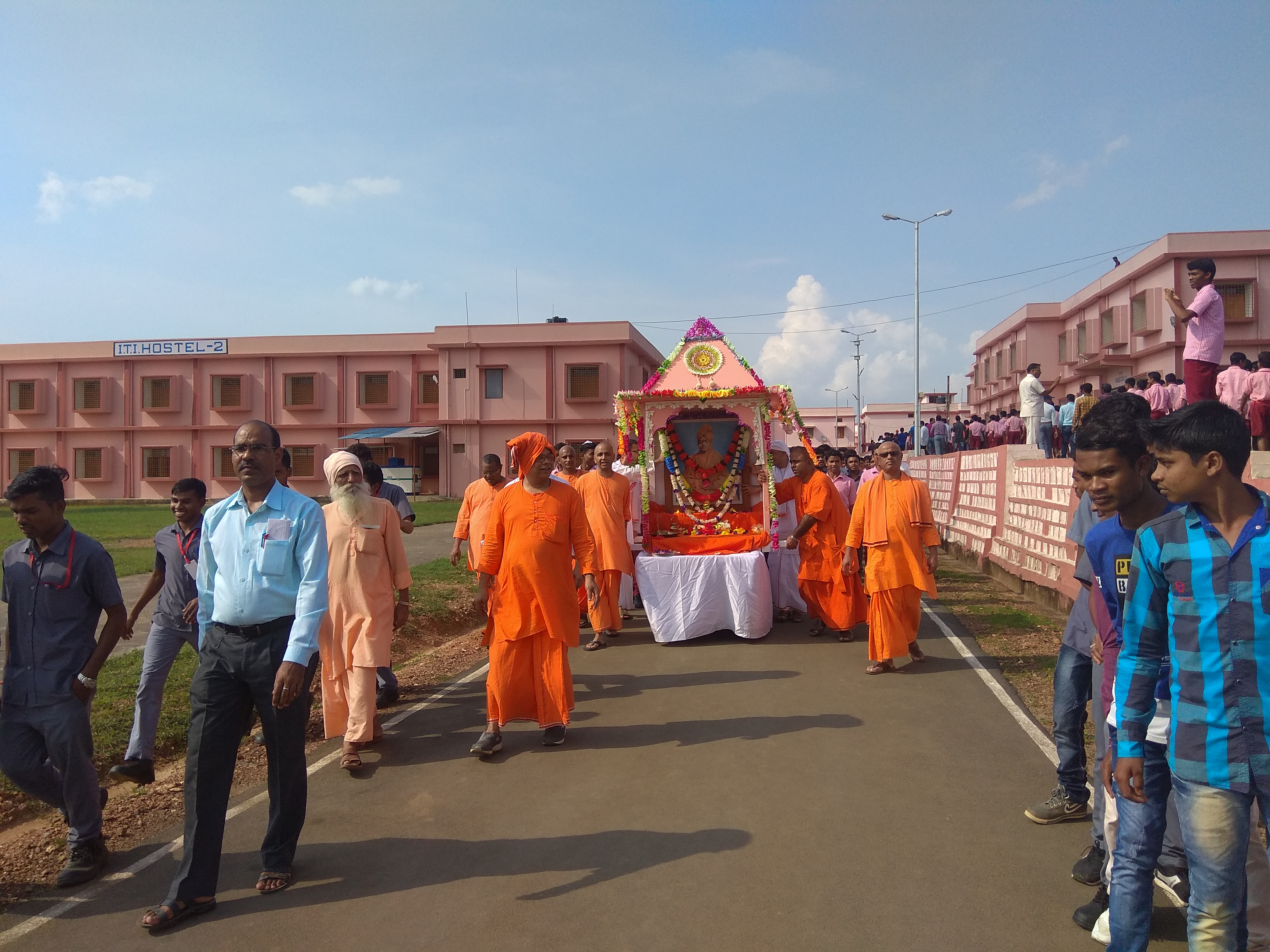
125th Anniversary of Swami Vivekananda's Chicago Addresses, Narianpur
Topographic Map of Narayanpur, Chhattisgarh, India
Find elevation by address:

Places near Narayanpur, Chhattisgarh, India:
Antagarh
Kanker
Durgu Kondal
Bhanupratappur
Govindpur
Kanker
Zilla Panchayat, Kanker
Pakhanjore
Bansagar
Charama
Dalli Rajhara
Godawari Power & Ispat Ltd. Guest House
Dangi Macha
Balod
Dhamtari
Balod
Dhamansara
Recent Searches:
- Elevation of Orangevale, CA, USA
- Elevation of Doe Cir, Clinton, OH, USA
- Elevation of Narhe, Pune, Maharashtra, India
- Elevation of Martins Mill Ct, Eagle Rock, NC, USA
- Elevation of Kippen, Stirling FK8, UK
- Elevation of Sieveringer Straße, Sieveringer Str., Wien, Austria
- Elevation of Bratskaya Ulitsa, 24, Kurgan, Kurganskaya oblast', Russia
- Elevation of Paradisvegen, Biri, Norway
- Elevation of Crystal Cir, Birmingham, AL, USA
- Elevation of N Railroad Ave, West Palm Beach, FL, USA