Elevation of Nanxi District, Tainan City, Taiwan
Location: Taiwan > Tainan City >
Longitude: 120.516394
Latitude: 23.1820152
Elevation: 152m / 499feet
Barometric Pressure: 100KPa
Elevation Map:
Satellite Map:
Related Photos:
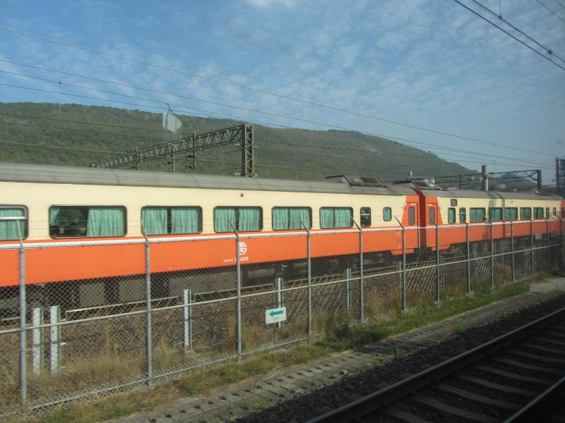
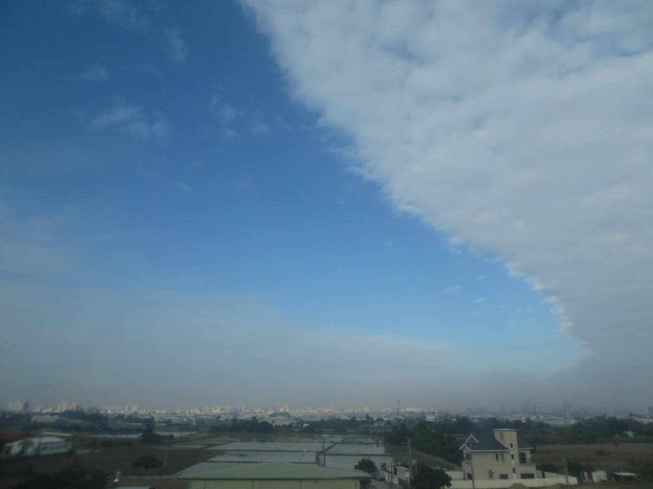
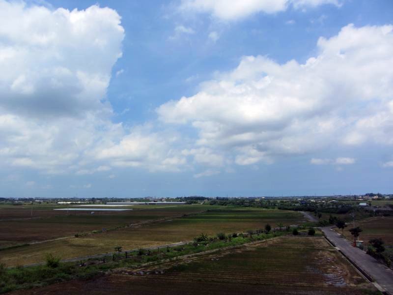
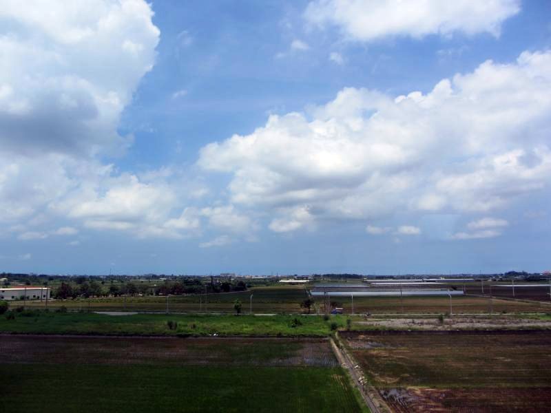
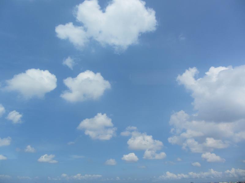
View From THSR Window
View From THSR Window
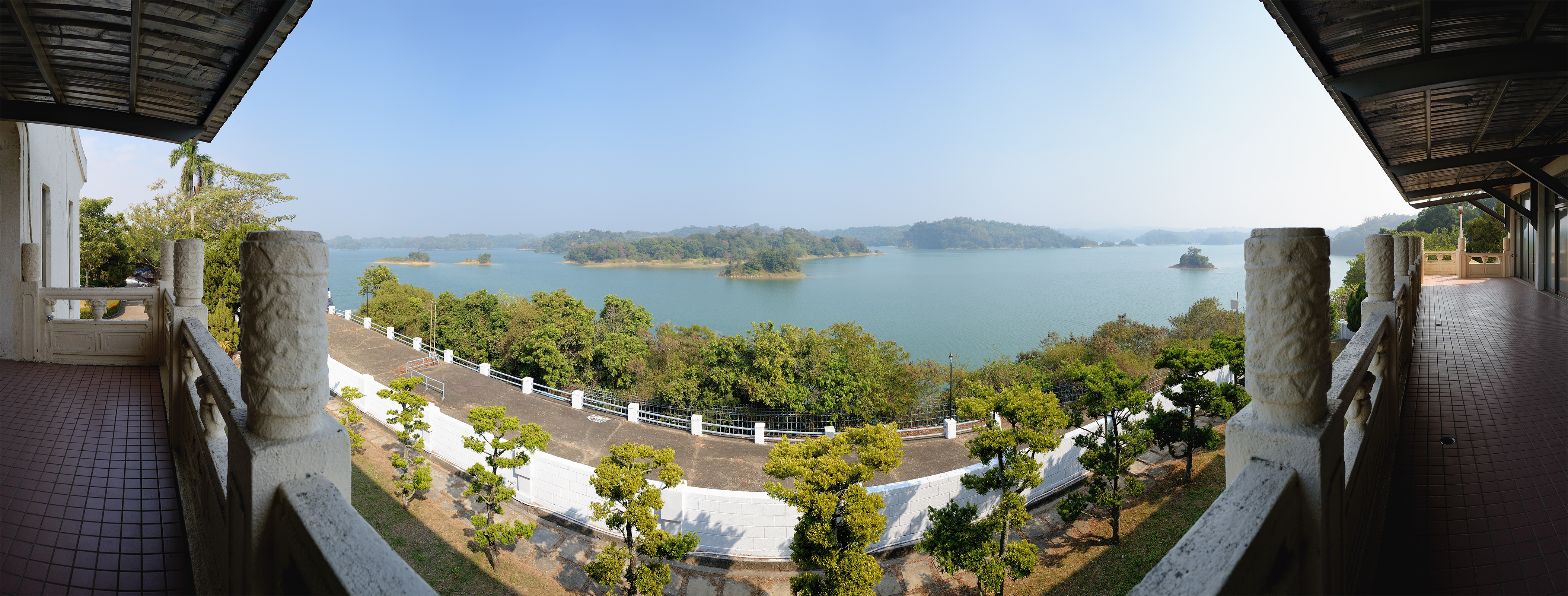
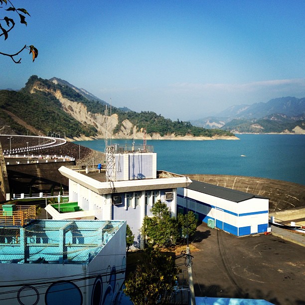
烏山頭水庫 / Wushantou Dam Panorama view
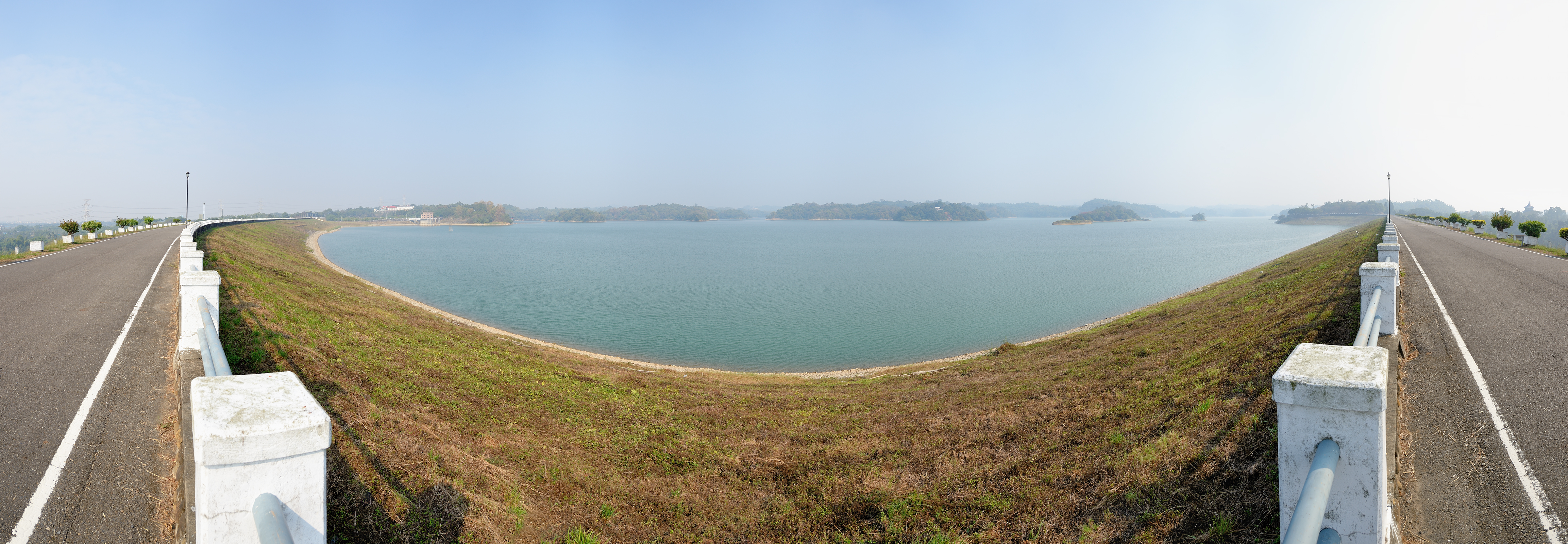
烏山頭水庫 / Wushantou Dam Panorama view
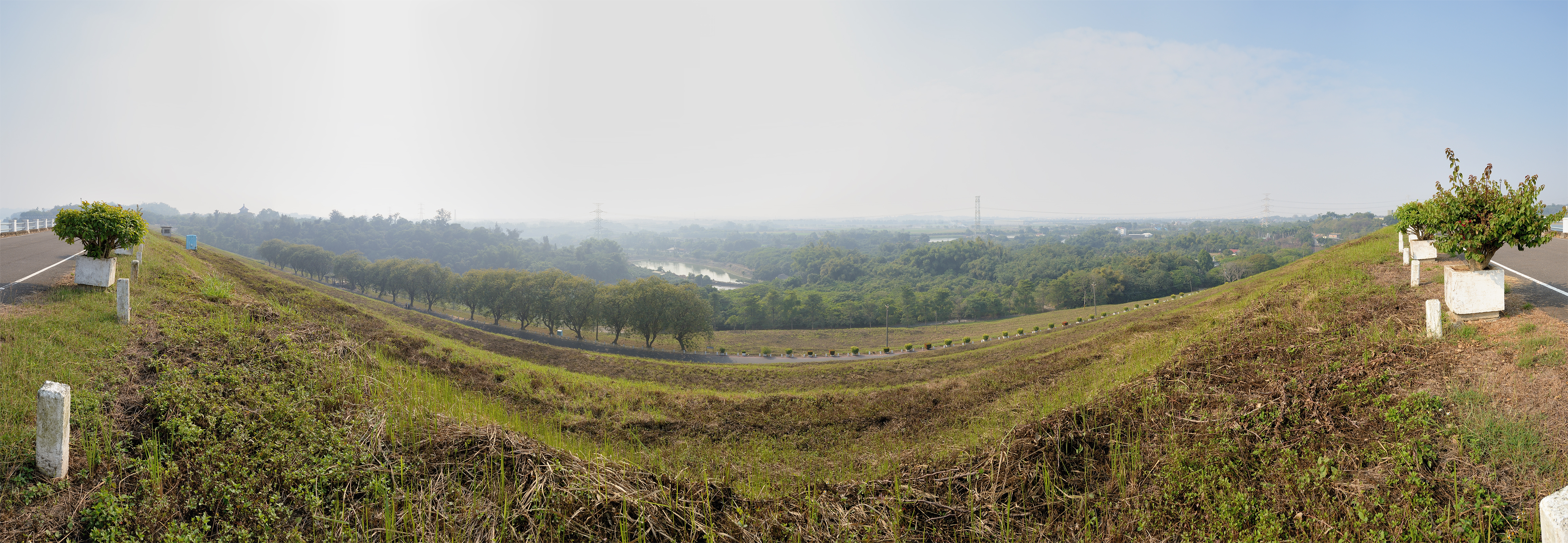
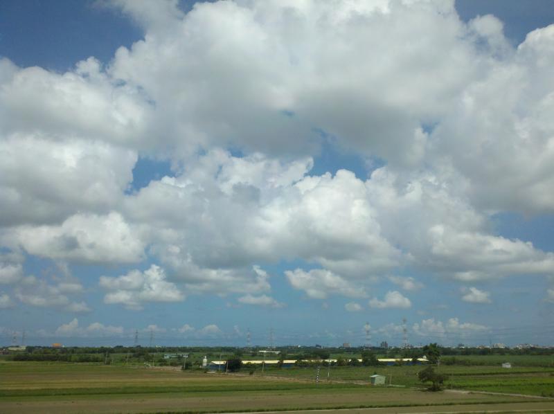
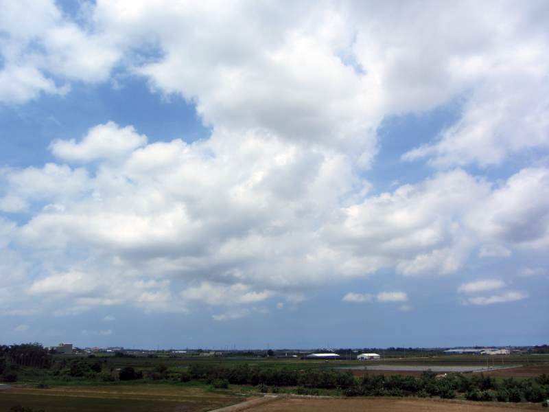
嘉南平原 臺南市 / Chianan Plain, Panorama view
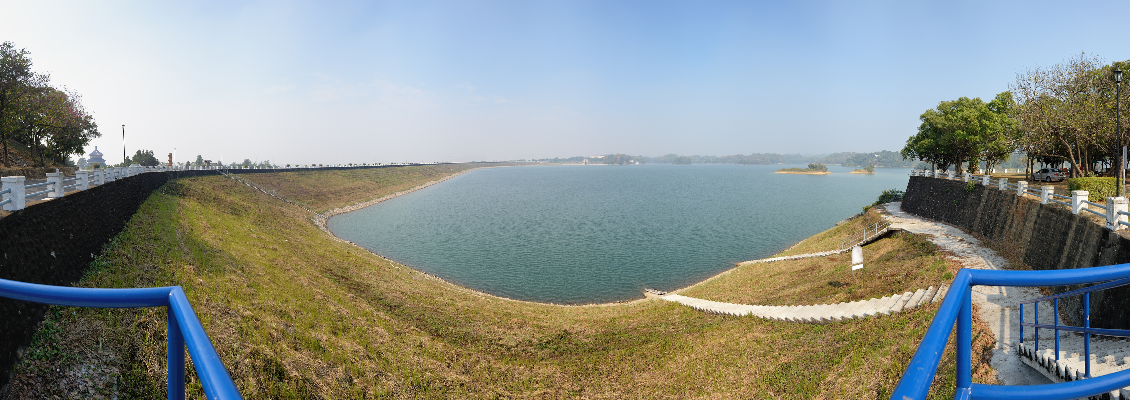
烏山頭水庫 / Wushantou Dam Panorama view

The view from Dongshan coffee road
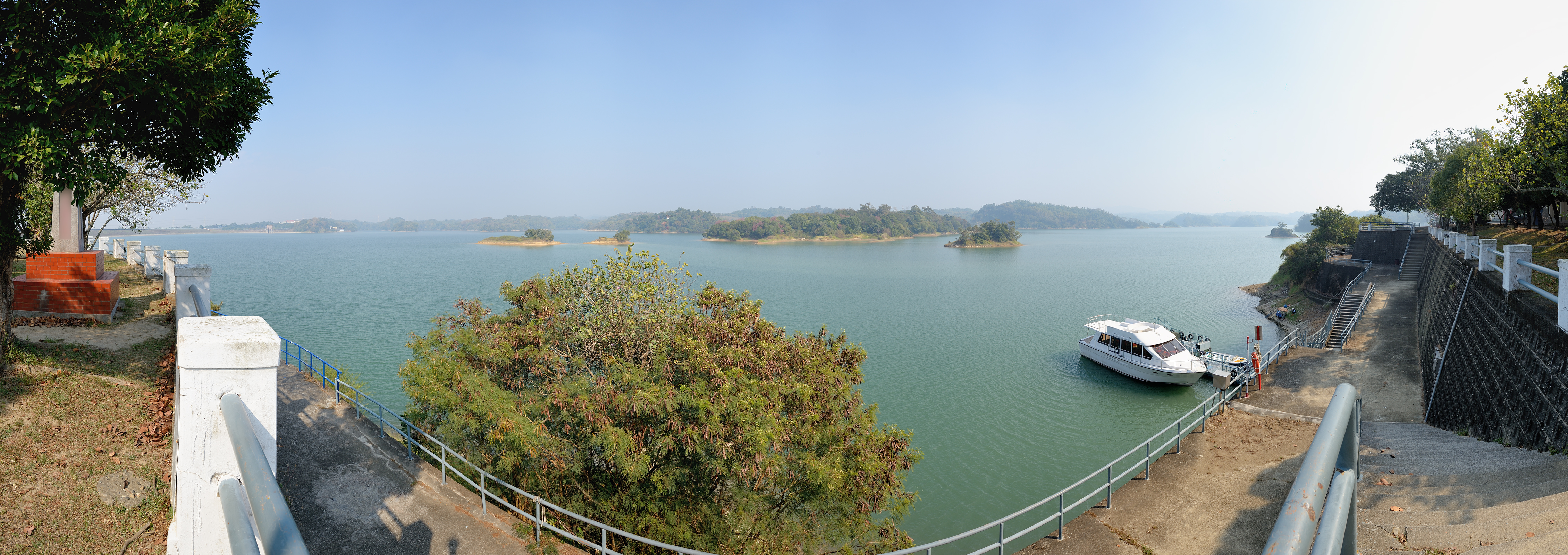
烏山頭水庫 / Wushantou Dam Panorama view
View From THSR Window
View From THSR Window
View From THSR Window
View From THSR Window
View From THSR Window
View From THSR Window

The view from a cafe on Dongshan coffee road

View From THSR Window
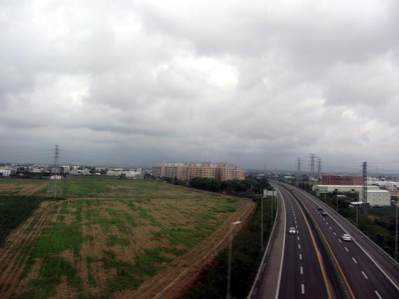
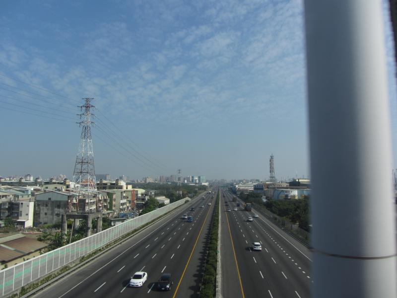
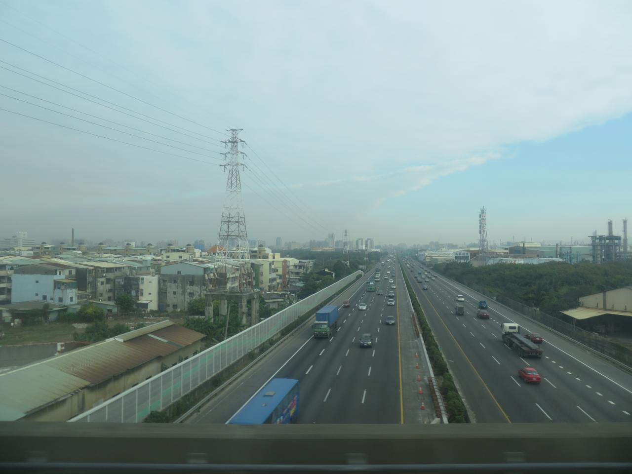
National Highway 8

如果可以住在山上,有個大露台可以種種花草,兩旁就是群山環抱,遠望就是綿延的海岸,天天可以欣賞美麗的夕陽⋯ Mountain View Plant Daydream at 崁頭山孚佑宮
View From THSR Window

Satisfied Custoemr
東山咖啡 view

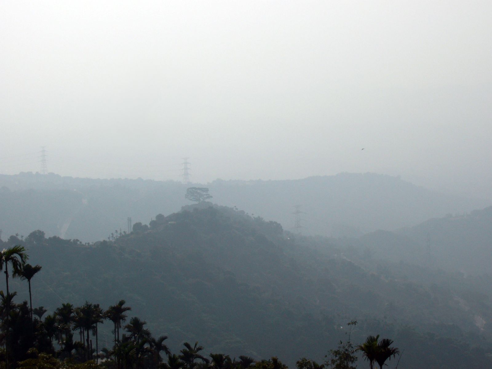
南化大地谷
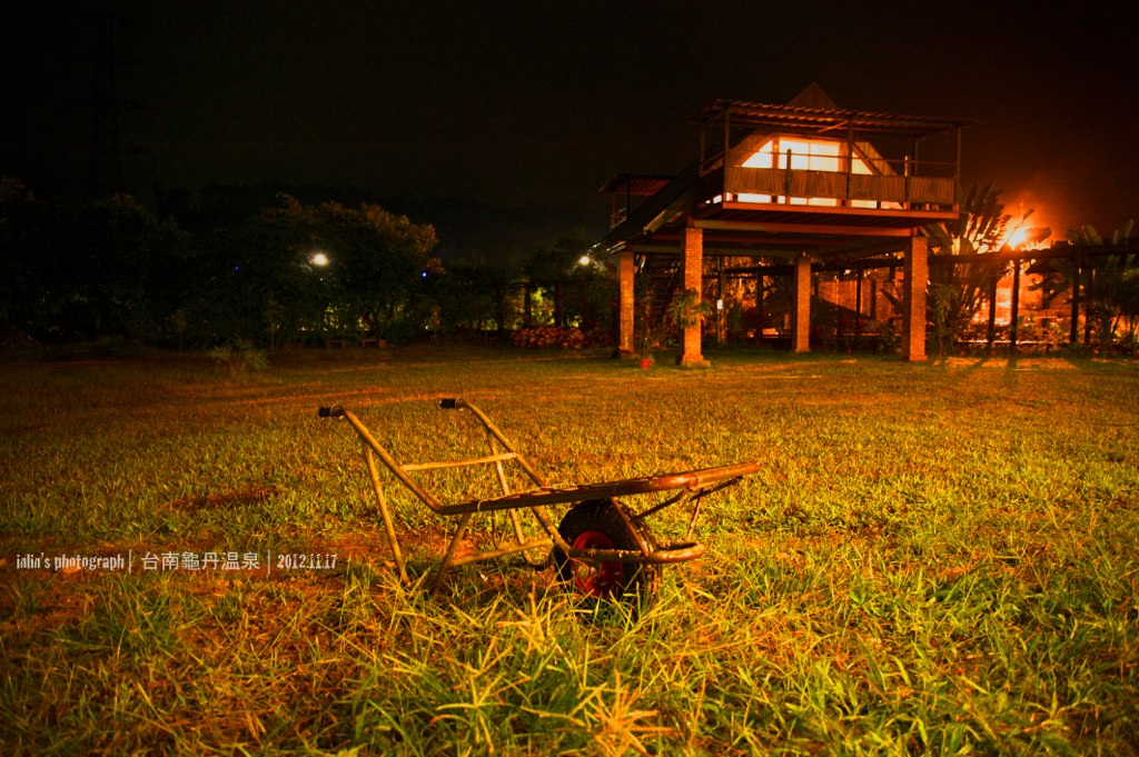
龜單溫泉
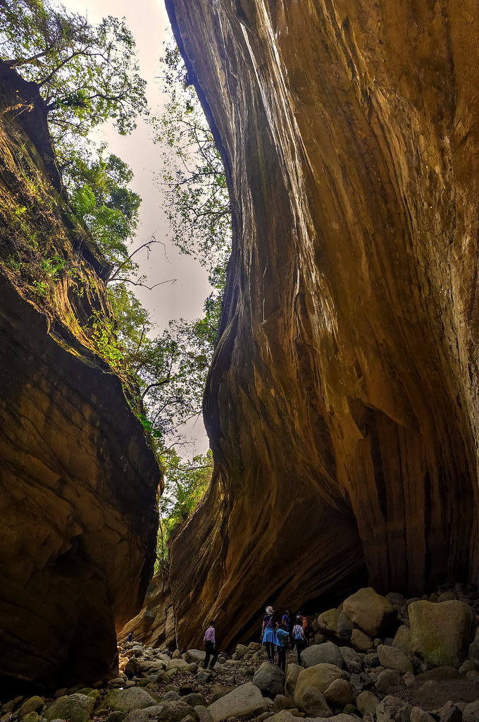
南化大地谷
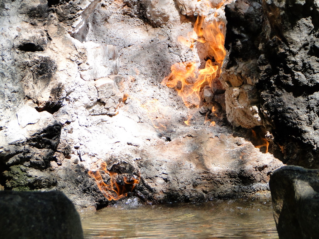
關子嶺-水火同源

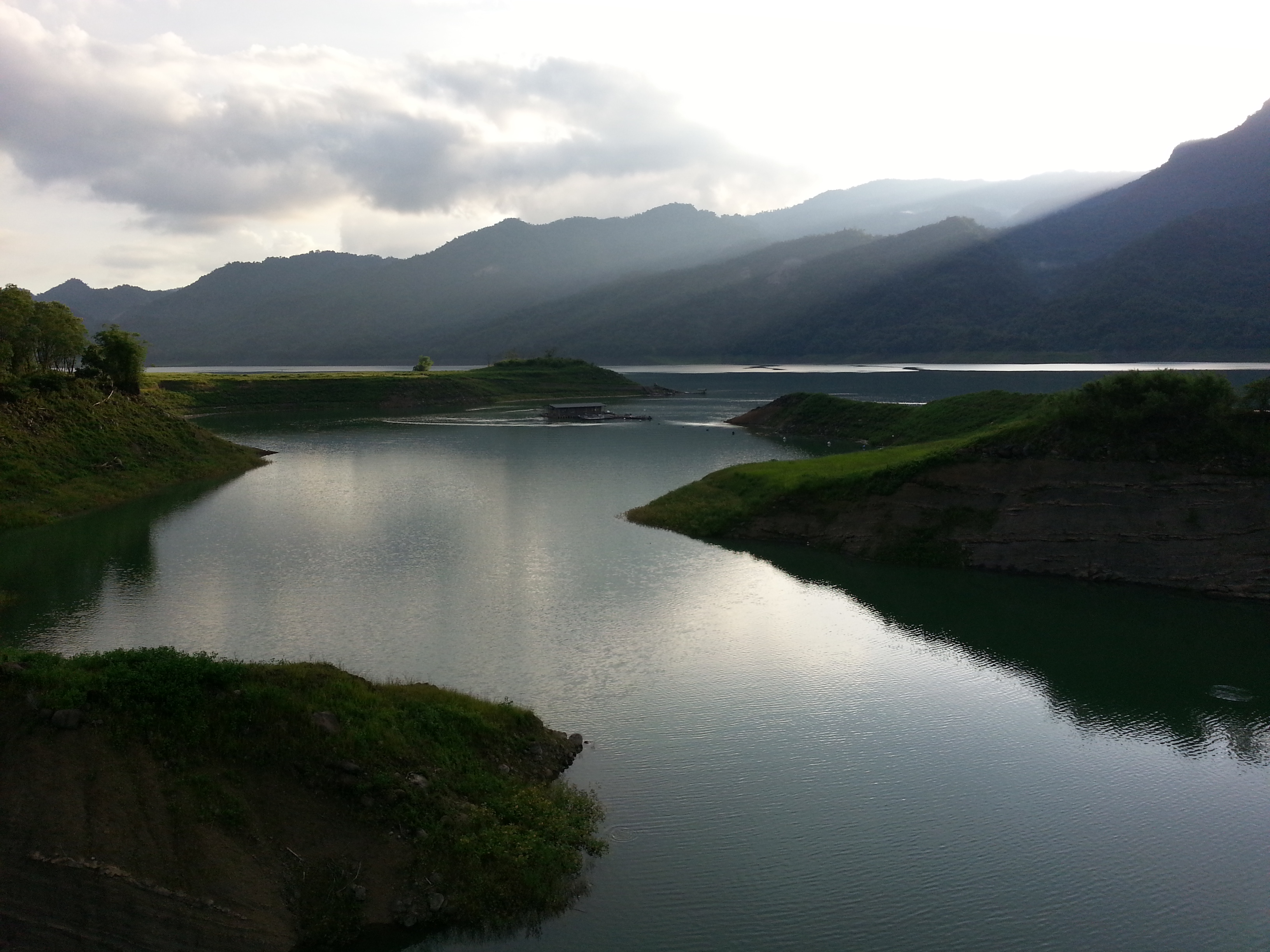
南化水庫, Nanhua Reservoir

IMG_0543.JPG
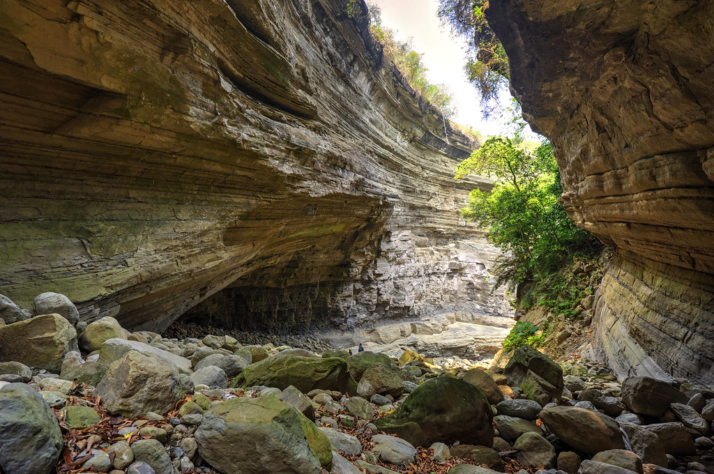
南化大地谷

IMG_0598.JPG

C360_2014-06-25-09-56-10-671

密紋波灰蝶 Prosotas dubiosa asbolodes Hsu & Yen, 2006

IMG_0549.JPG

IMG_0544.JPG
大埔鄉

IMG_0571.JPG
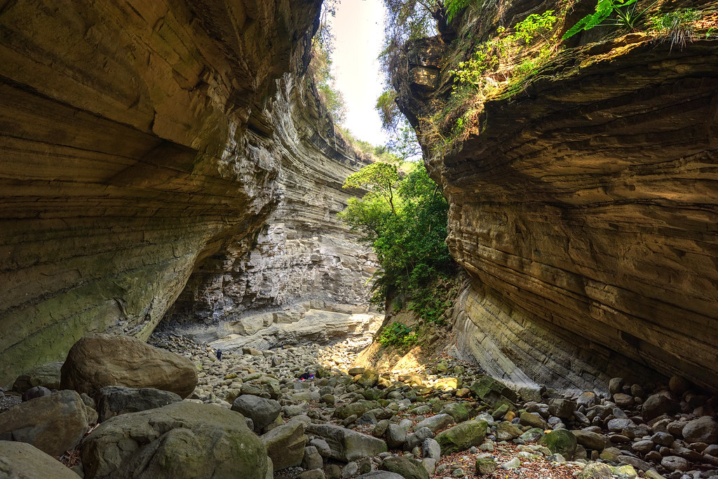
南化大地谷
碧水青天之南化水庫!
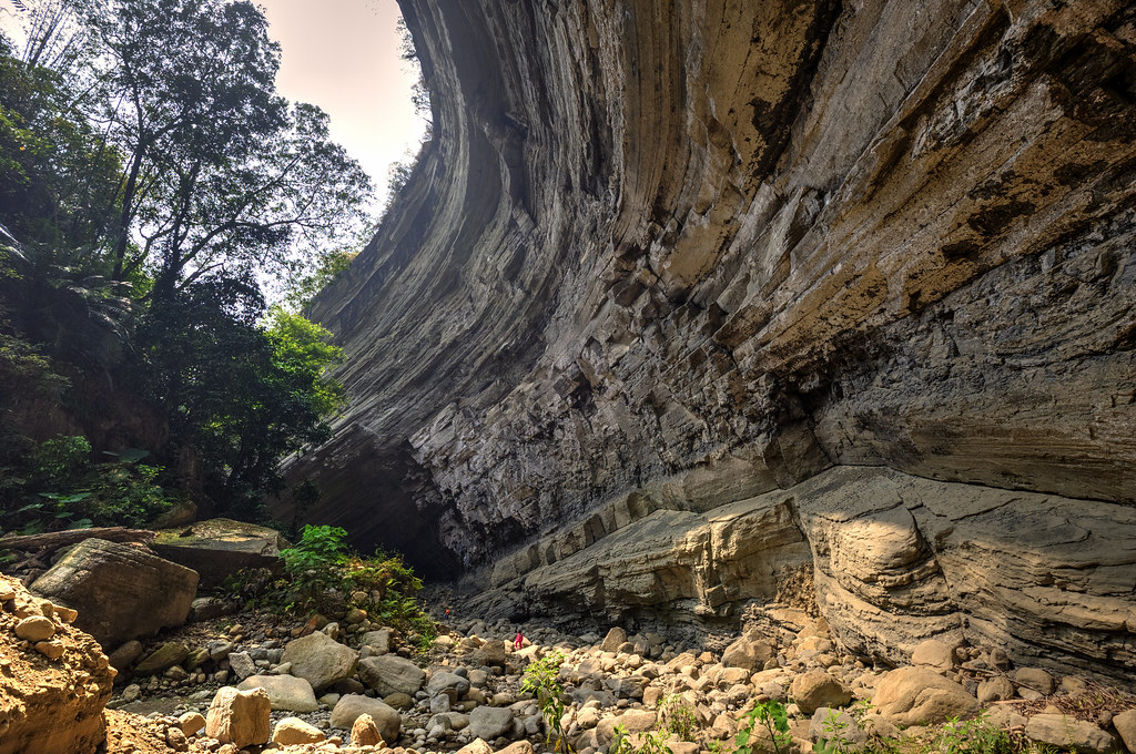
南化大地谷

IMG_0602.JPG

IMG_0603.JPG

IMG_0580.JPG

IMG_0573.JPG
Topographic Map of Nanxi District, Tainan City, Taiwan
Find elevation by address:

Places in Nanxi District, Tainan City, Taiwan:
Places near Nanxi District, Tainan City, Taiwan:
No. 35, Jiaba Rd, Nanxi District, Tainan City, Taiwan
灣丘里
No. 35, Zhonghua Rd, Nanxi District, Tainan City, Taiwan
楠西里
竹圍里
中正里
No. 28, Wucheng St, Yujing District, Tainan City, Taiwan
119-6
關山里
120-1
豐里里
環湖里
Nanhua District
Taiwan, Tainan City, Yujing District, 南鄉道74號
Yujing District
三埔里
玉山里
No. 60, Nanbu Cross-island Hwy, Yujing District, Tainan City, Taiwan
Taiwan, Tainan City, Danei District, 南-1鄉道59號
No. 8, Nanbu Cross-island Hwy, Nanhua District, Tainan City, Taiwan
Recent Searches:
- Elevation of Zimmer Trail, Pennsylvania, USA
- Elevation of 87 Kilmartin Ave, Bristol, CT, USA
- Elevation of Honghe National Nature Reserve, QP95+PJP, Tongjiang, Heilongjiang, Jiamusi, Heilongjiang, China
- Elevation of Hercules Dr, Colorado Springs, CO, USA
- Elevation of Szlak pieszy czarny, Poland
- Elevation of Griffing Blvd, Biscayne Park, FL, USA
- Elevation of Kreuzburger Weg 13, Düsseldorf, Germany
- Elevation of Gateway Blvd SE, Canton, OH, USA
- Elevation of East W.T. Harris Boulevard, E W.T. Harris Blvd, Charlotte, NC, USA
- Elevation of West Sugar Creek, Charlotte, NC, USA