Elevation of Nanaimo H, BC, Canada
Location: Canada > British Columbia > Nanaimo >
Longitude: -124.68833
Latitude: 49.3809702
Elevation: 174m / 571feet
Barometric Pressure: 99KPa
Elevation Map:
Satellite Map:
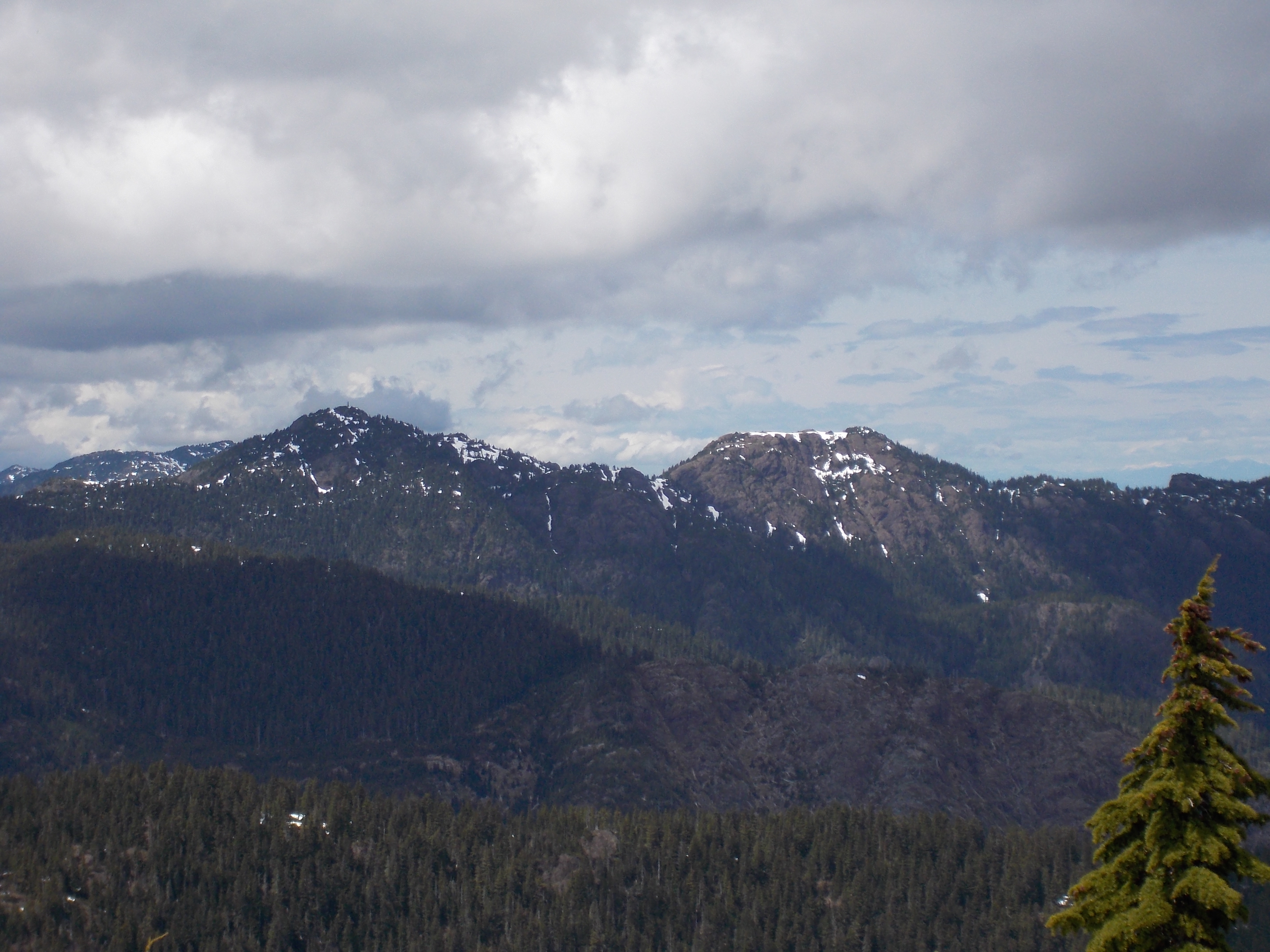
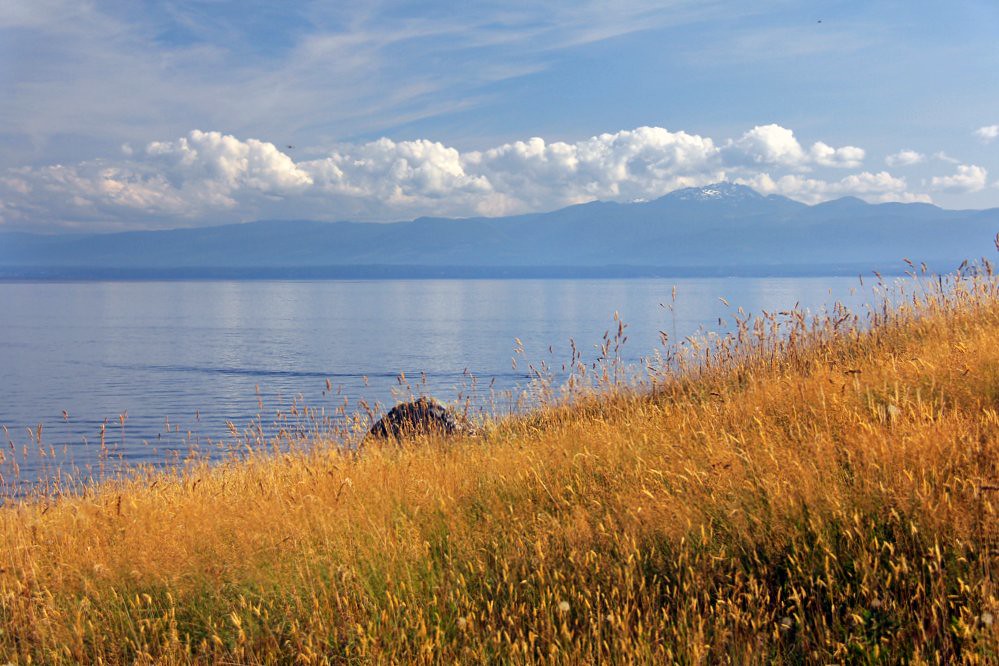
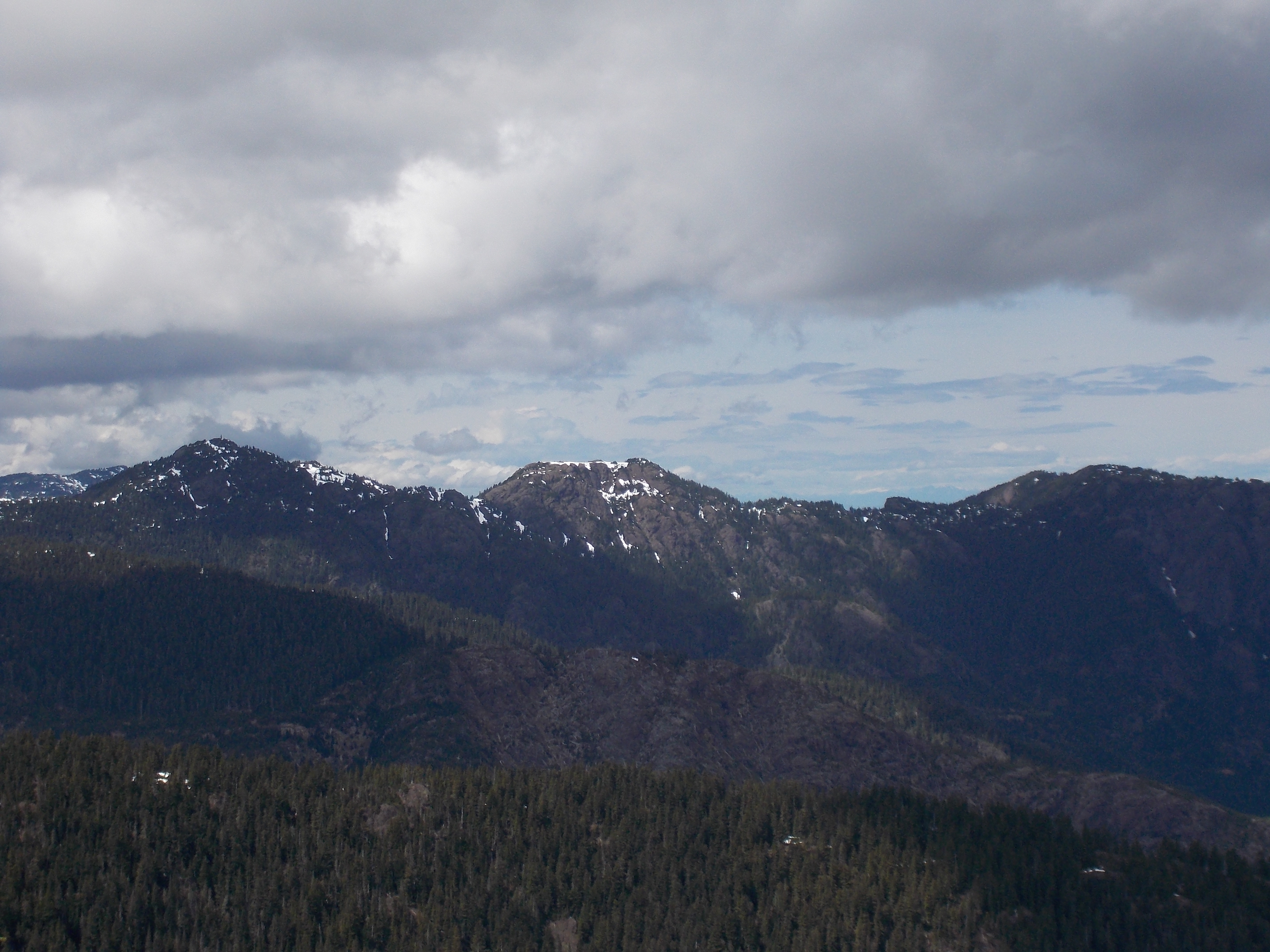
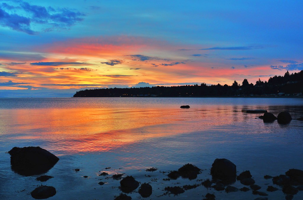
Related Photos:
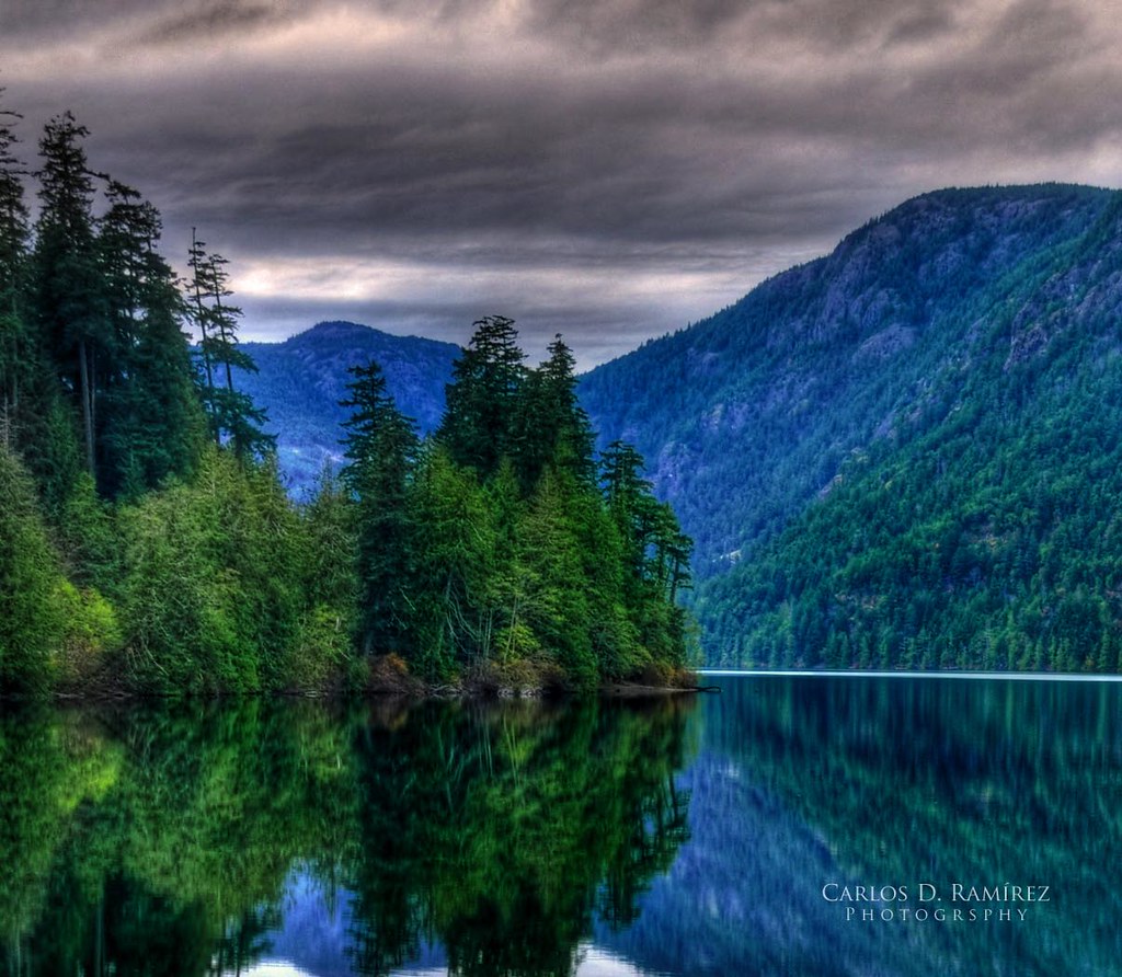
Cameron Lake

Gravelly Bay . . .
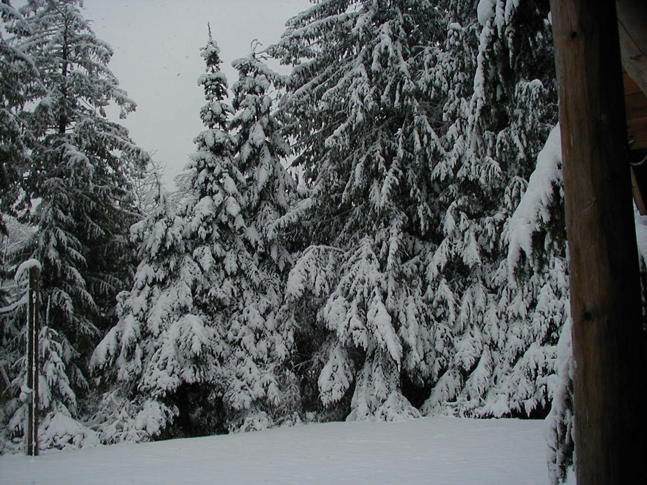
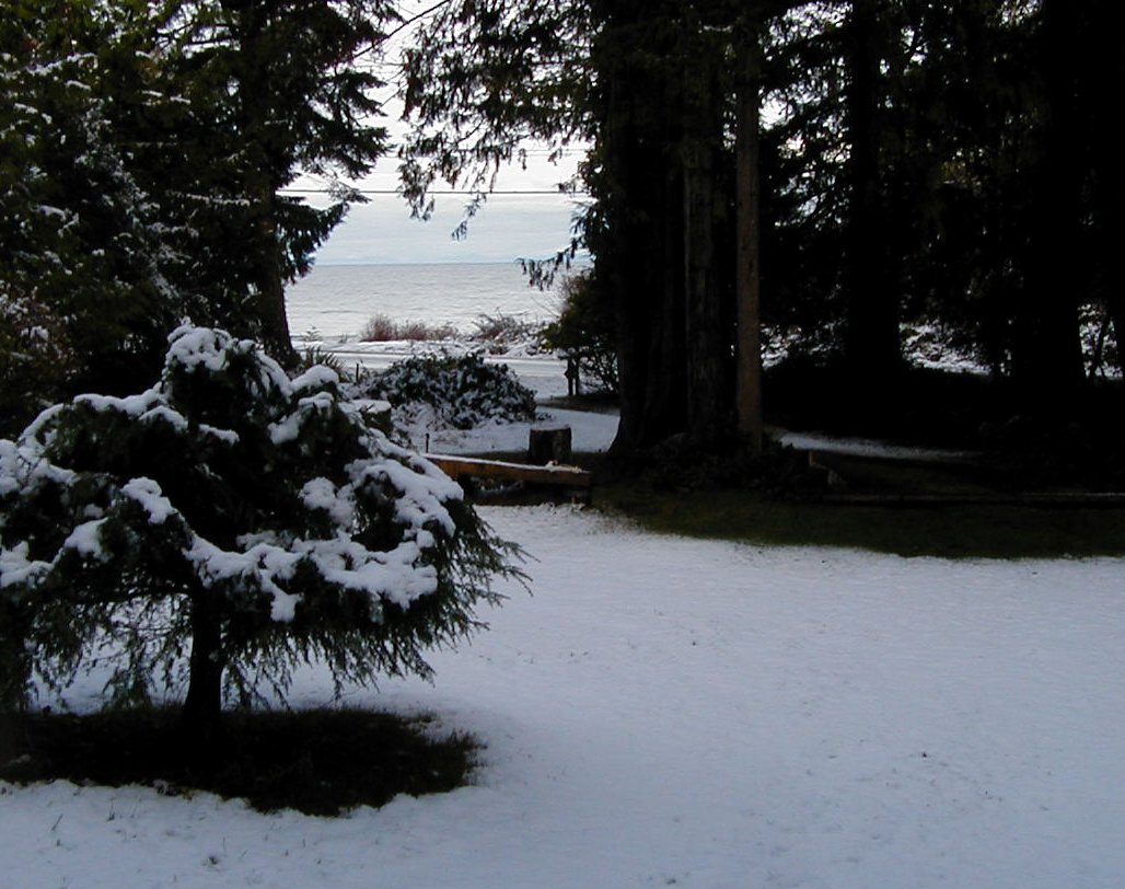
View of major snowfall from Cabin Deck in 2006

A Wonderful view of Qualicum Bay
View from beach across road from cabin

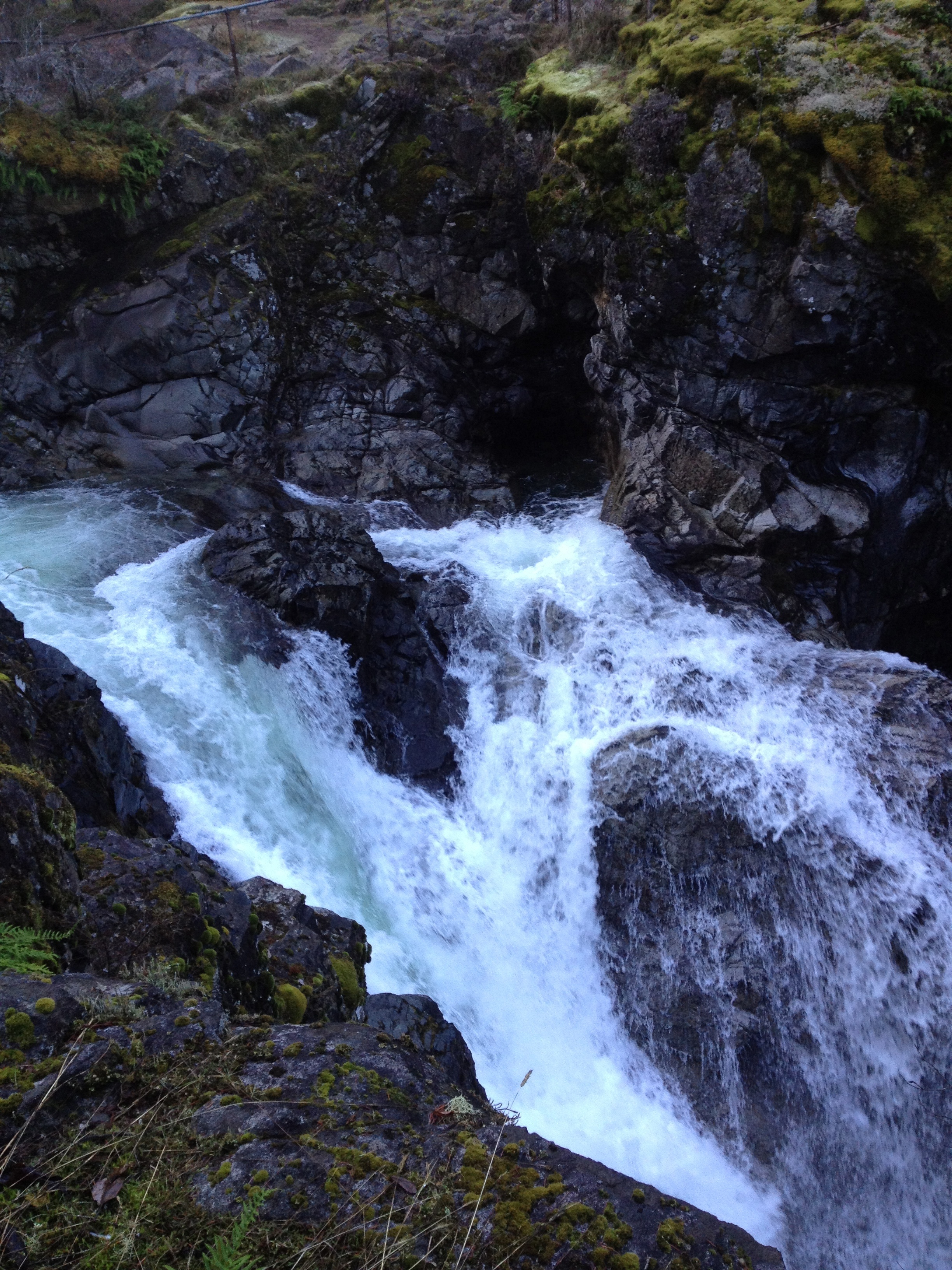
Qualicum Falls and Pool
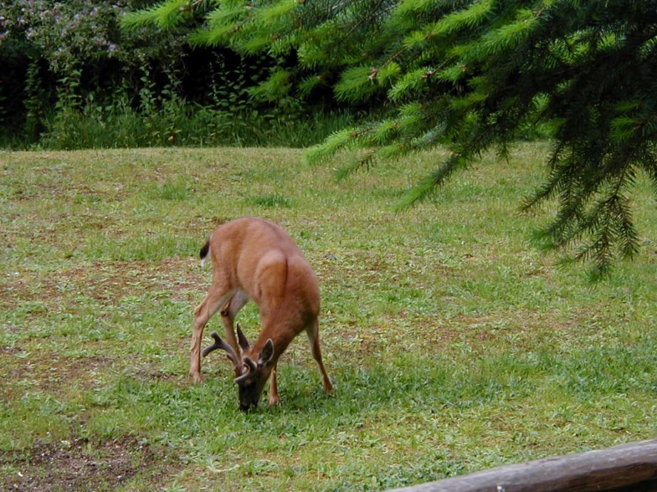
Deer on lawn at Denman Island cabin

Deep Bay marina
View of driveway from cabin
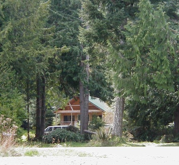
Cabin photo from the beach
Backwards sunset
view from tub

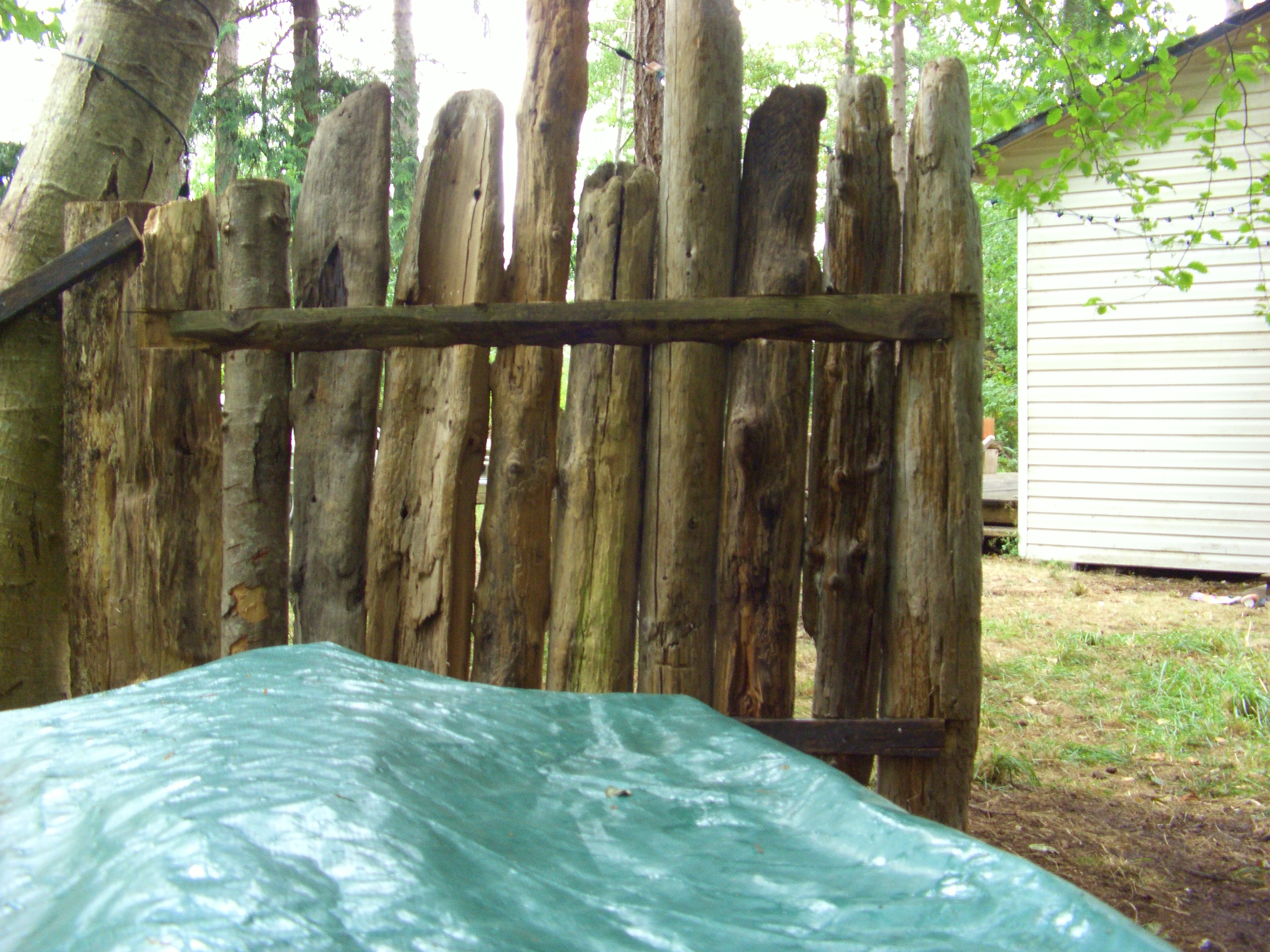
Ant's eye view

trumpeter swan family

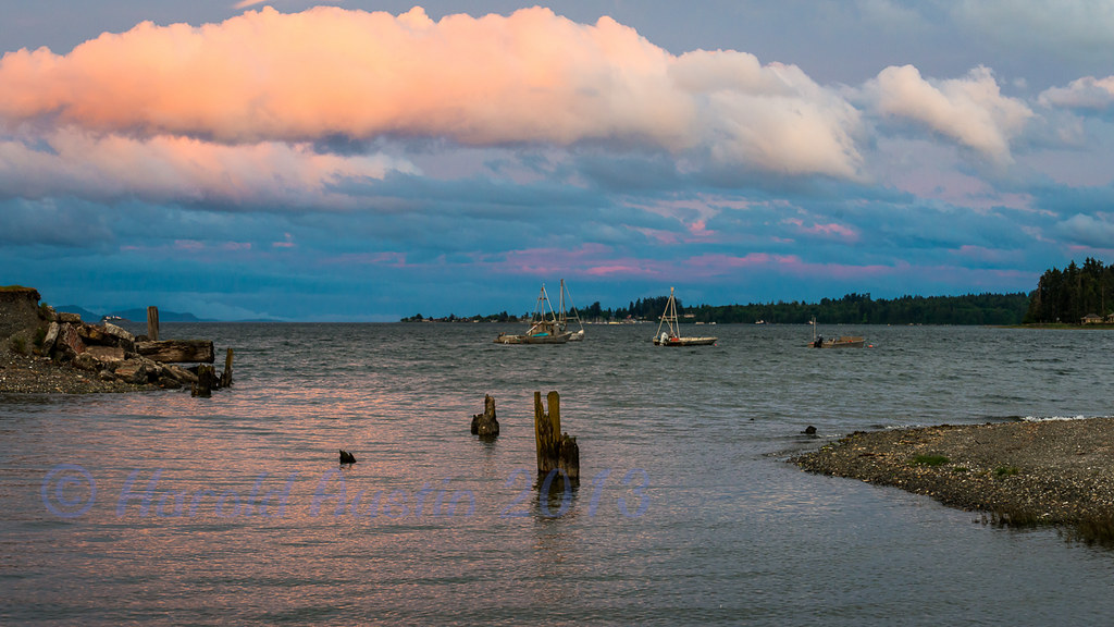
Ocean View

Under the Canopy

view out from "main cave"
Joan and Squarehead

Ford's Cove, Hornby Island BC
Beautiful British Columbia [32/52]
Joan, Squarehead, Curran

A sweet Little Qualicum sun set
Not Just, Another Tequila Sunrise
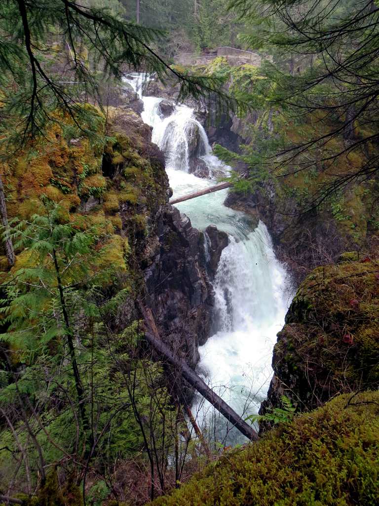
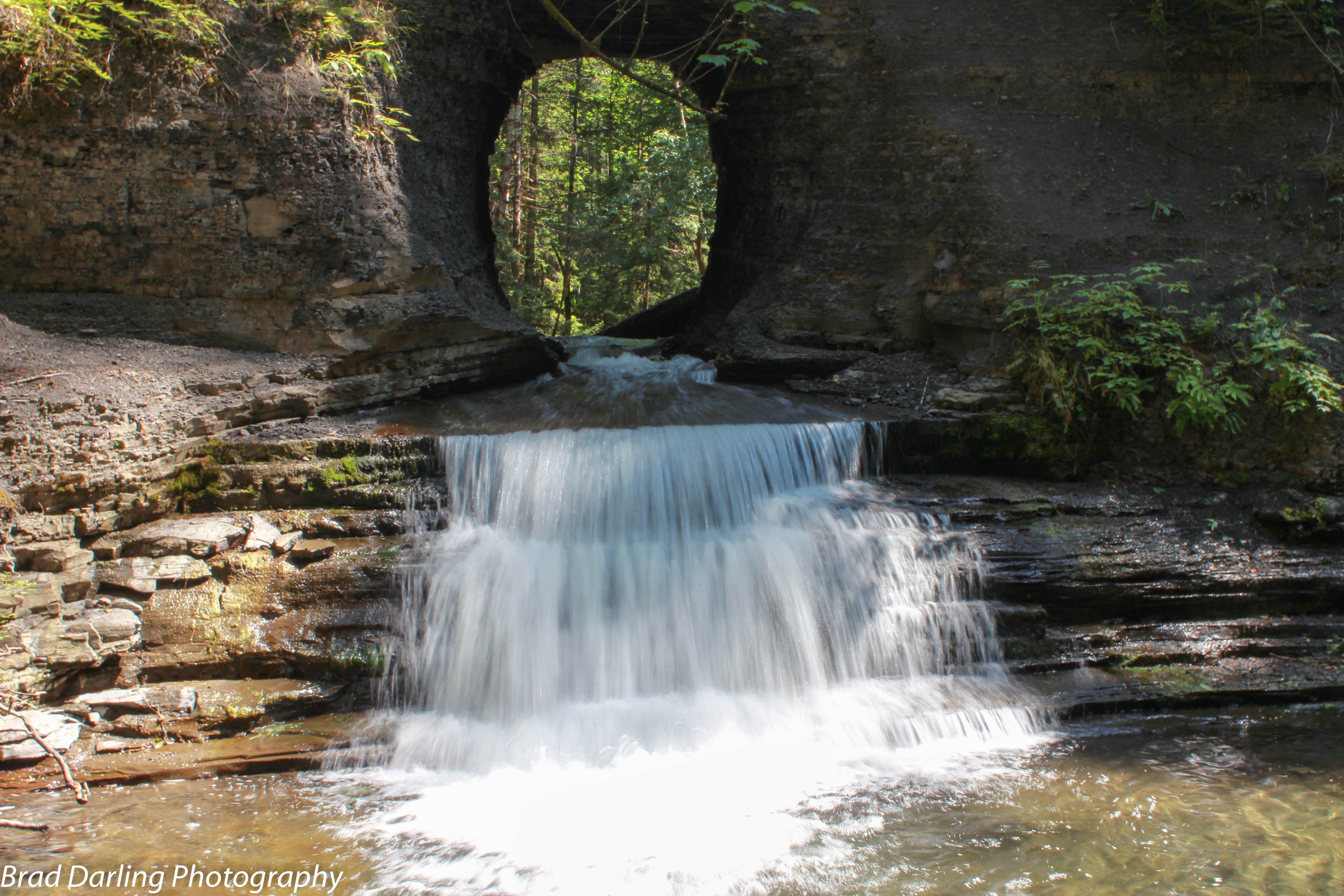
Little Qualicum Falls

Waterfall near "Hole in the Wall"
Qualicum River
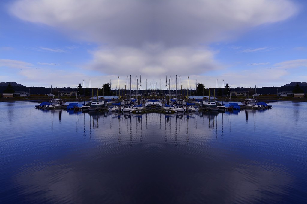
Deep Bay Harbor Reflection

Little Qualicum Falls Provincial Park
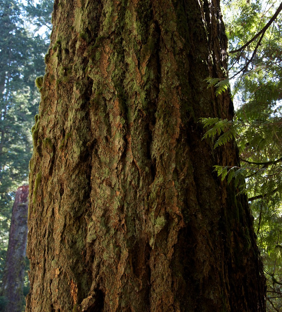
Cathedral Grove Tree
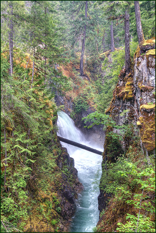
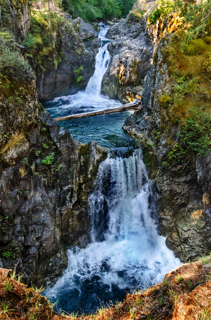
Upper Little Qualicum Falls
Canada 2011 - 057

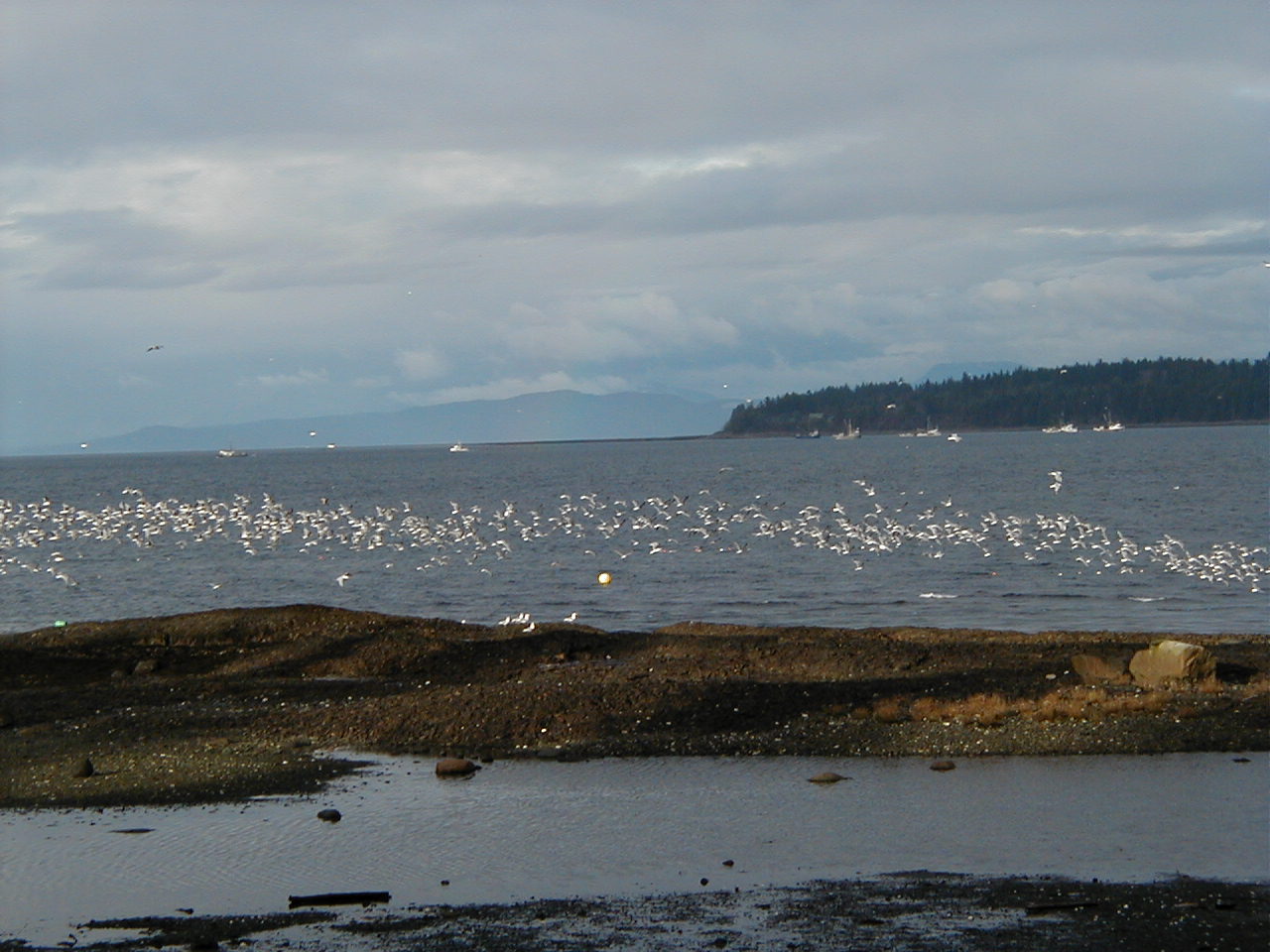
Herring row (fish eggs) and sea gulls on the beach
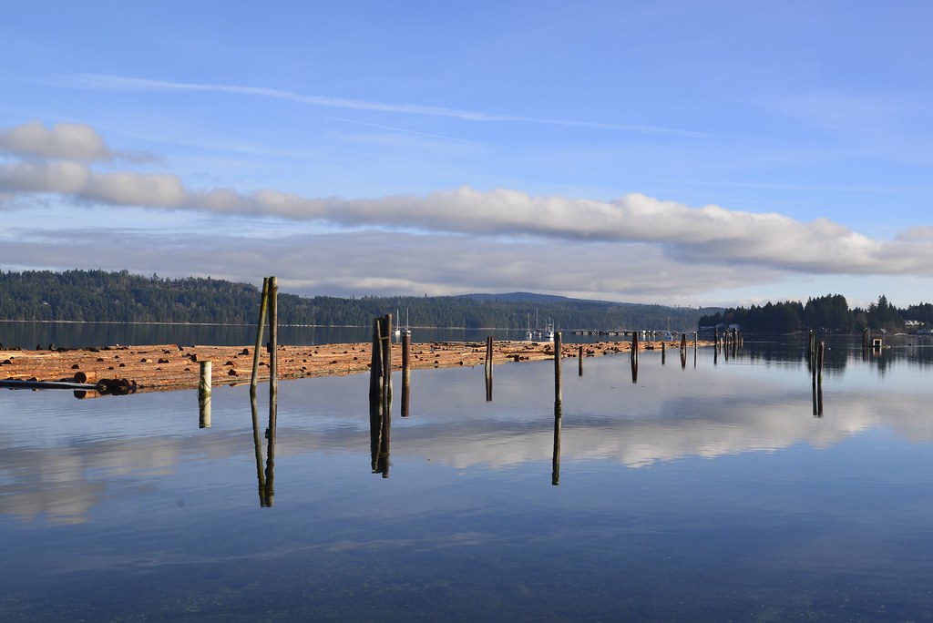
Reflections, Fanny Bay, BC
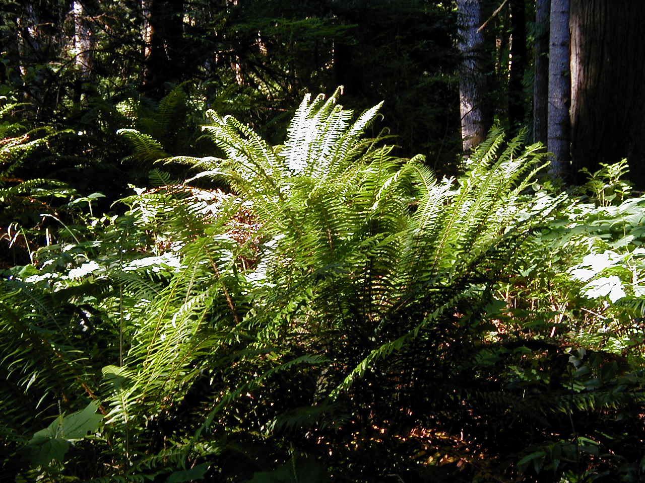
Ferns Galore Taken by Jeff in 2006
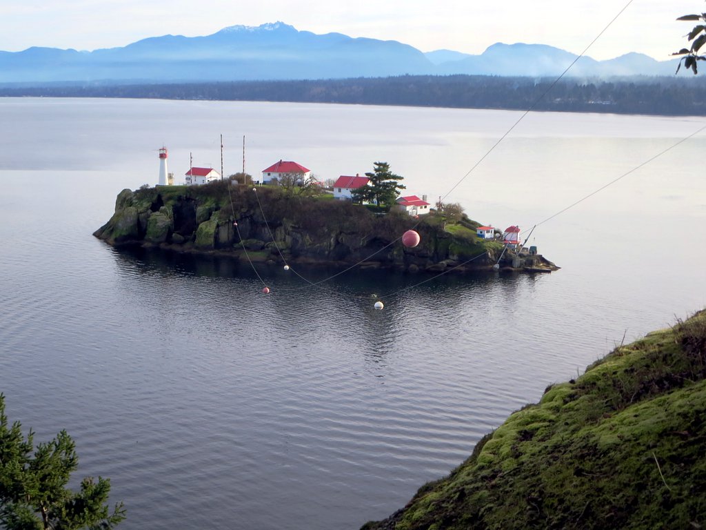
Chrome Island Lighthouse
Isla de Lerena . . .
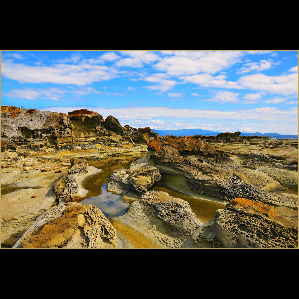
Hole-in-the-Wall

Forest Idyll

Chrome Island Lighthouse

Warmth [16:9]
Topographic Map of Nanaimo H, BC, Canada
Find elevation by address:

Places in Nanaimo H, BC, Canada:
Places near Nanaimo H, BC, Canada:
Horne Lake
Spider Lake Provincial Park
Raymur Pl, Qualicum Beach, BC V9K 2N9, Canada
Cathedral Grove
285 Grovehill Rd
Macmillan Provincial Park
Cameron Lake
Cameron Lake
2890 Alberni Hwy
819 Corcan Rd
1790 Dunwurkin Way
Little Qualicum Falls Provincial Park
Port Alberni Highway
3800 Johnston Rd
5473 Greenard St
4199 Glenside Rd
Alberni Valley Bulldogs
West Coast General Hospital
4213 Princess Rd
Port Alberni (west Coast Gen Hosp) Heliport
Recent Searches:
- Elevation of Corso Fratelli Cairoli, 35, Macerata MC, Italy
- Elevation of Tallevast Rd, Sarasota, FL, USA
- Elevation of 4th St E, Sonoma, CA, USA
- Elevation of Black Hollow Rd, Pennsdale, PA, USA
- Elevation of Oakland Ave, Williamsport, PA, USA
- Elevation of Pedrógão Grande, Portugal
- Elevation of Klee Dr, Martinsburg, WV, USA
- Elevation of Via Roma, Pieranica CR, Italy
- Elevation of Tavkvetili Mountain, Georgia
- Elevation of Hartfords Bluff Cir, Mt Pleasant, SC, USA