Elevation of Nakagami-14 Shimoarisu, Sumita-chō, Kesen-gun, Iwate-ken -, Japan
Location: Japan > Iwate Prefecture > Kesen District > Sumita >
Longitude: 141.552314
Latitude: 39.1836186
Elevation: 148m / 486feet
Barometric Pressure: 100KPa
Elevation Map:
Satellite Map:
Related Photos:
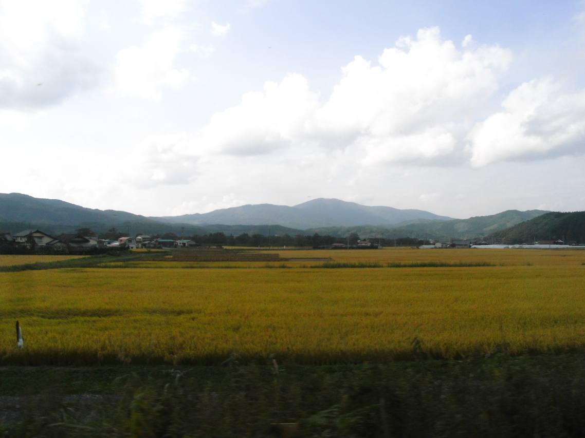
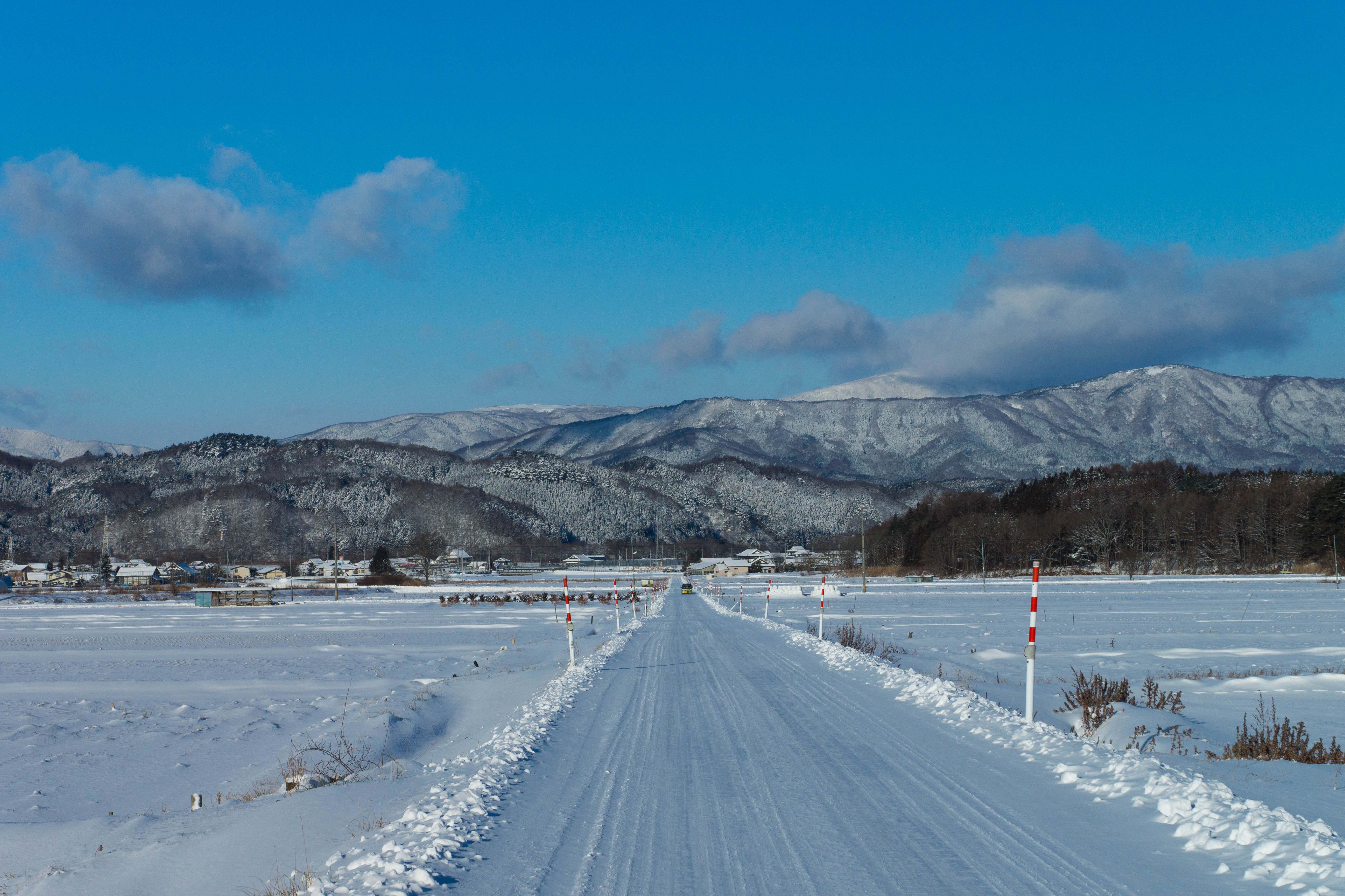
Kamaishi line view
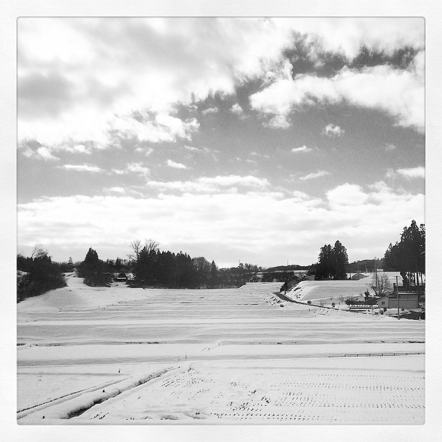
岩手の釜石に向かってるけど恐ろしく遠い( ;´Д`) #japan #snow #iwate #blackandwhite #tono #Landscape #雪 #岩手 #遠野
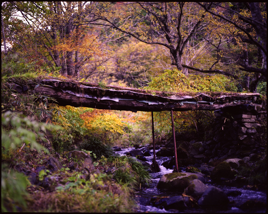
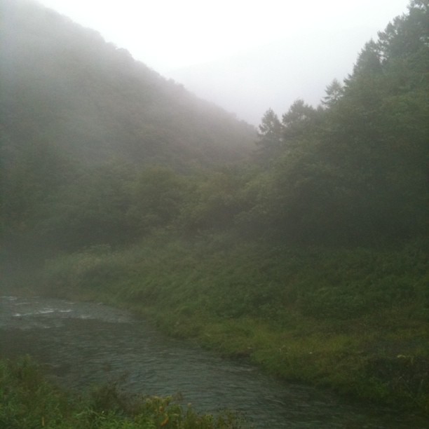
autumn small bridge
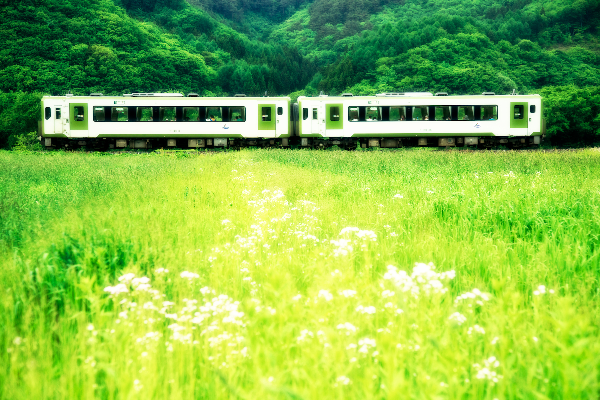
JR 釜石線・足ヶ瀬
DSC08947.jpg

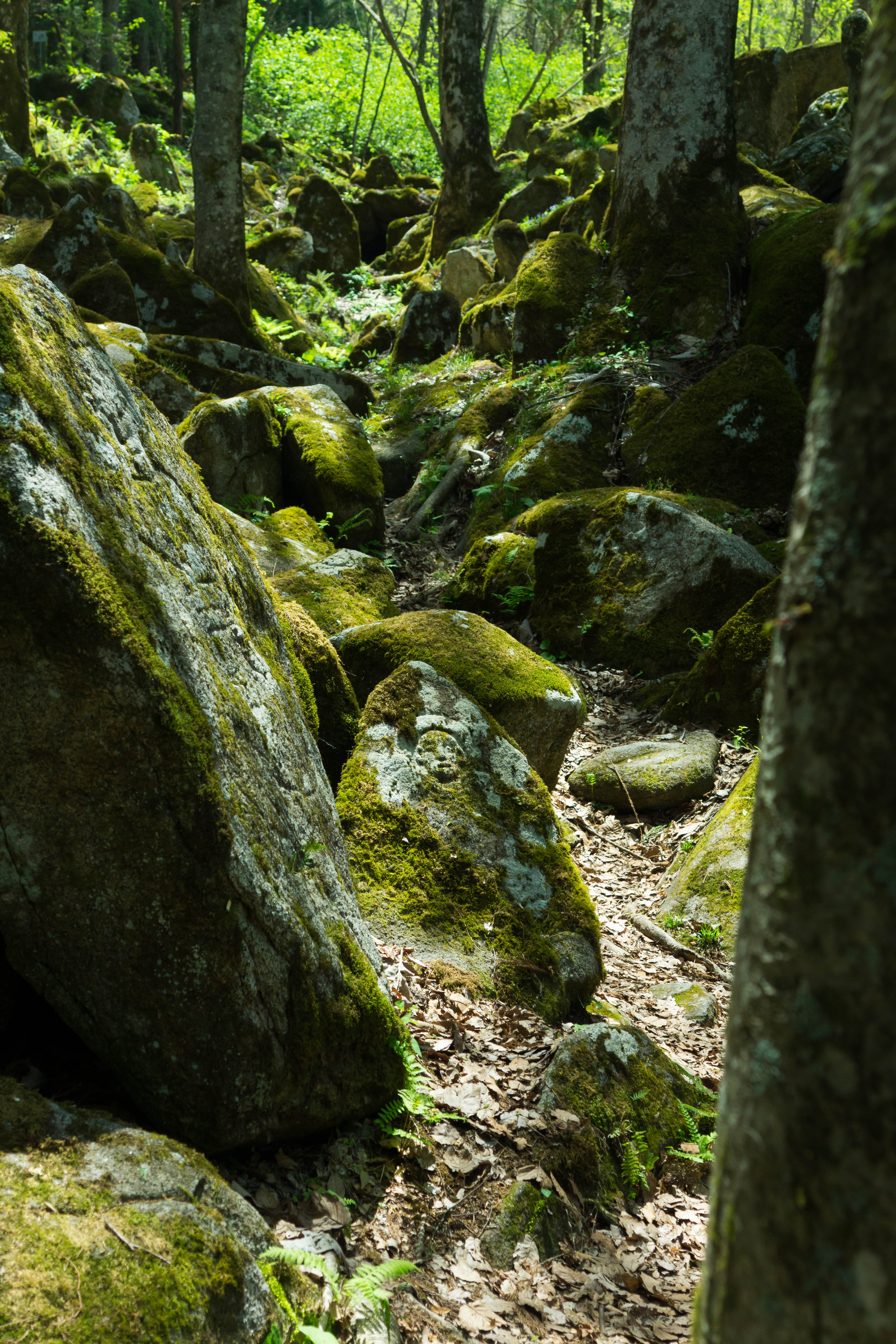
荒神神社 Aragami shrine

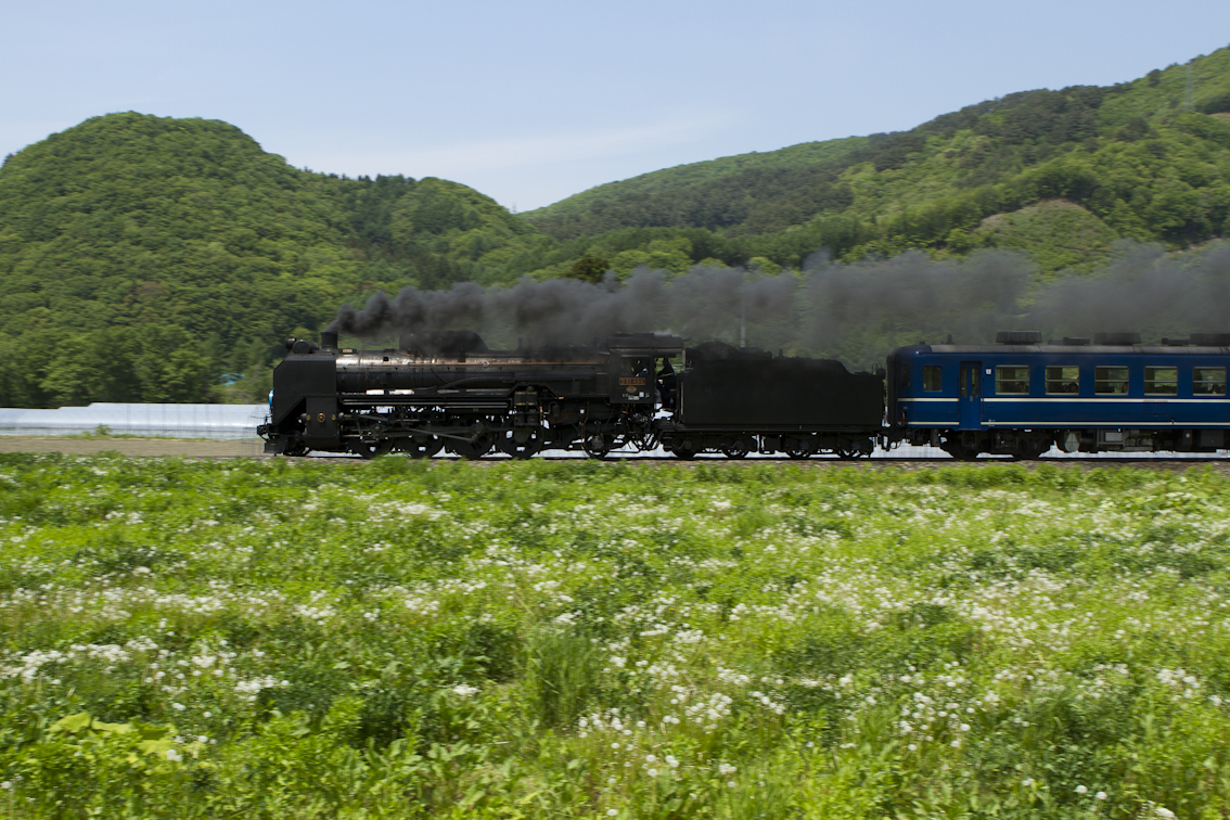
SL 銀河ドリーム号/Steam locomotive named the Galactic Dream
DSC05768.jpg
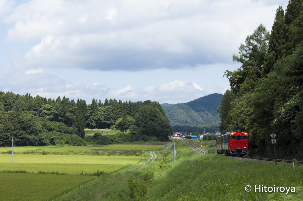
Summer train
DSC05708.jpg
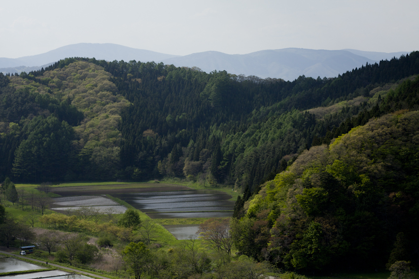
水の季節
non title
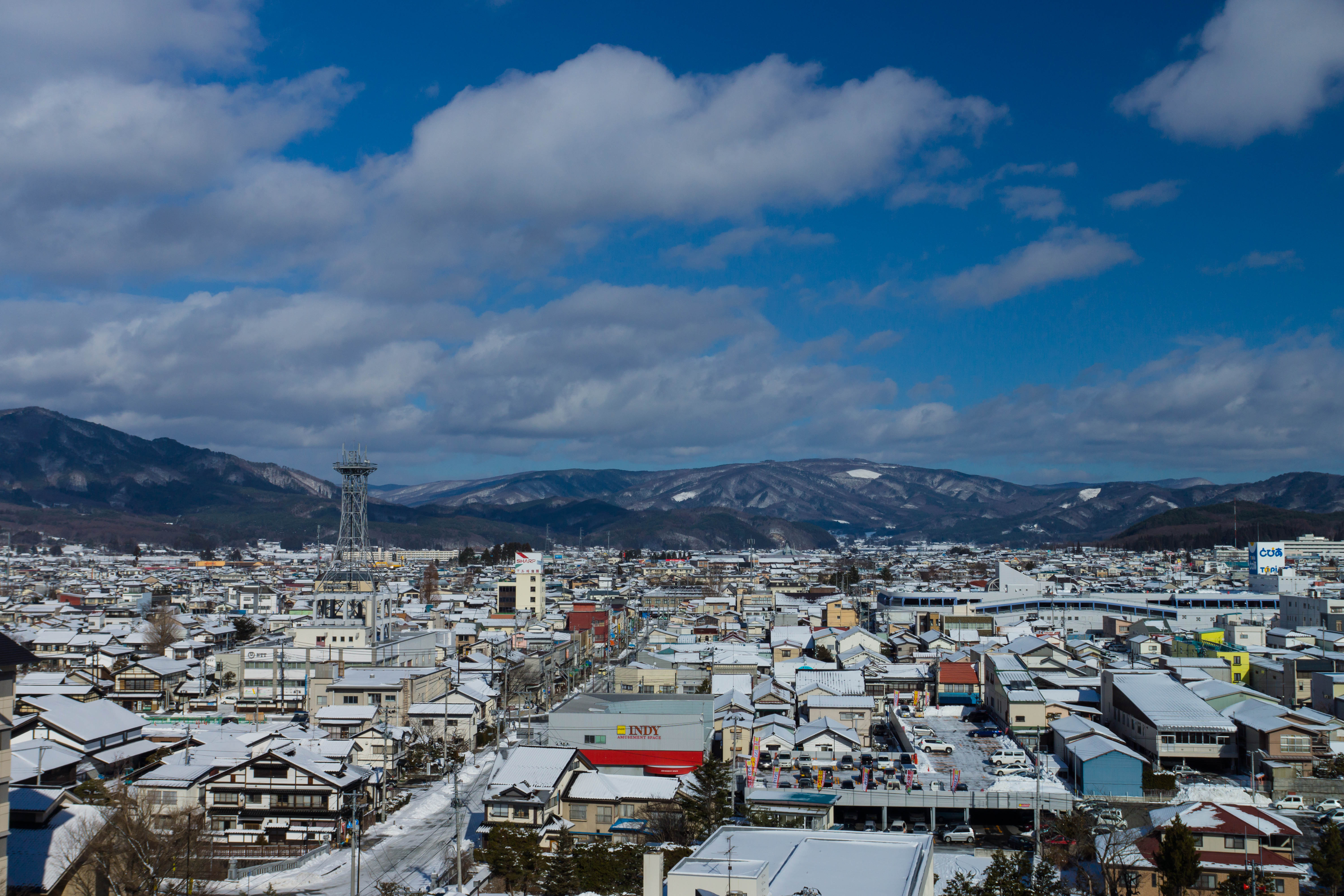
大股の朝
Topographic Map of Nakagami-14 Shimoarisu, Sumita-chō, Kesen-gun, Iwate-ken -, Japan
Find elevation by address:

Places near Nakagami-14 Shimoarisu, Sumita-chō, Kesen-gun, Iwate-ken -, Japan:
Kesen District
Amakaze-2-4 Setamai, Sumita-chō, Kesen-gun, Iwate-ken -, Japan
Sumita
18 Chiwari-11 Kamigōchō Hosogoe, Tōno-shi, Iwate-ken -, Japan
3 Chiwari-99 Matsuzakichō Kōkōji, Tōno-shi, Iwate-ken -, Japan
Rikuzentakata
Nakai- Kesenchō, Rikuzentakata-shi, Iwate-ken -, Japan
Ofunato
Jinomori-48-11 Ōfunatochō, Ōfunato-shi, Iwate-ken -, Japan
Ōhatano-88 Takkonchō, Ōfunato-shi, Iwate-ken -, Japan
Dai, Kesennuma-shi, Miyagi-ken -, Japan
Ushirohanagai--17 Hirotachō, Rikuzentakata-shi, Iwate-ken -, Japan
Nakazawa-80-12 Hirotachō, Rikuzentakata-shi, Iwate-ken -, Japan
Kesennuma
8-25 Uoichibamae, Kesennuma-shi, Miyagi-ken -, Japan
45 Akaiwaōishikura, Kesennuma-shi, Miyagi-ken -, Japan
2 Chome-3-1 Chidorichō, Kamaishi-shi, Iwate-ken -, Japan
-6 Karakuwachō Nakai, Kesennuma-shi, Miyagi-ken -, Japan
Kamaishi
1 Chome-4-1 Hamachō
Recent Searches:
- Elevation of Holloway Ave, San Francisco, CA, USA
- Elevation of Norfolk, NY, USA
- Elevation of - San Marcos Pass Rd, Santa Barbara, CA, USA
- Elevation of th Pl SE, Issaquah, WA, USA
- Elevation of 82- D Rd, Captain Cook, HI, USA
- Elevation of Harlow CM20 2PR, UK
- Elevation of Shenyang Agricultural University, Dong Ling Lu, Shen He Qu, Shen Yang Shi, Liao Ning Sheng, China
- Elevation of Alpha Dr, Melbourne, FL, USA
- Elevation of Hiroshima University, 1-chōme-3-2 Kagamiyama, Higashihiroshima, Hiroshima -, Japan
- Elevation of Bernina Dr, Lake Arrowhead, CA, USA