Elevation of Naizin, France
Location: France > Brittany > Morbihan > Moréac >
Longitude: -2.7723596
Latitude: 47.9280372
Elevation: 117m / 384feet
Barometric Pressure: 100KPa
Elevation Map:
Satellite Map:
Related Photos:

The view over the hills of Chapelle Neuve
les Forges.

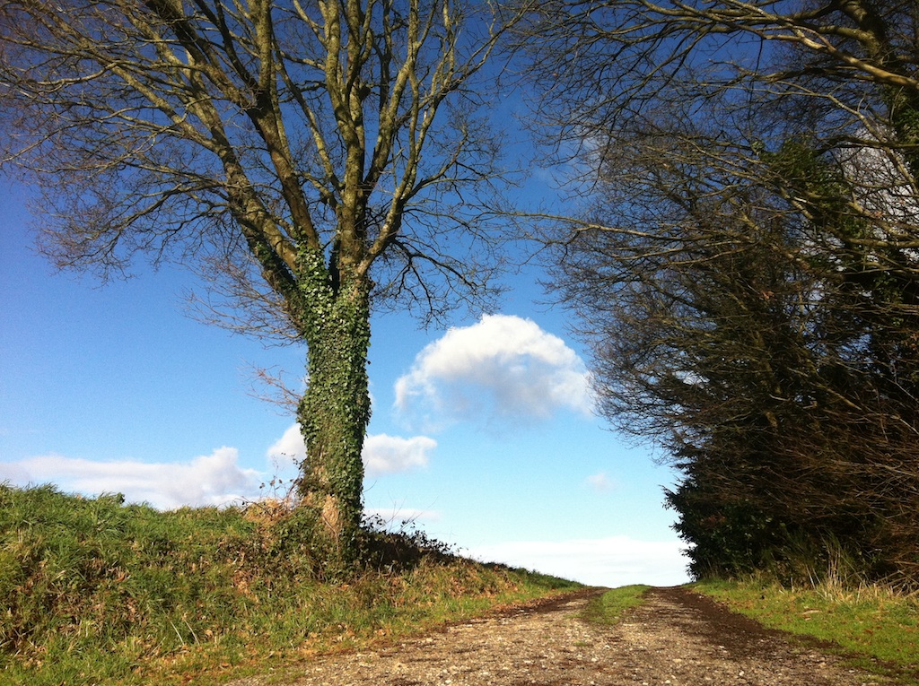
Sentier de Charme

IMG_6672.jpg
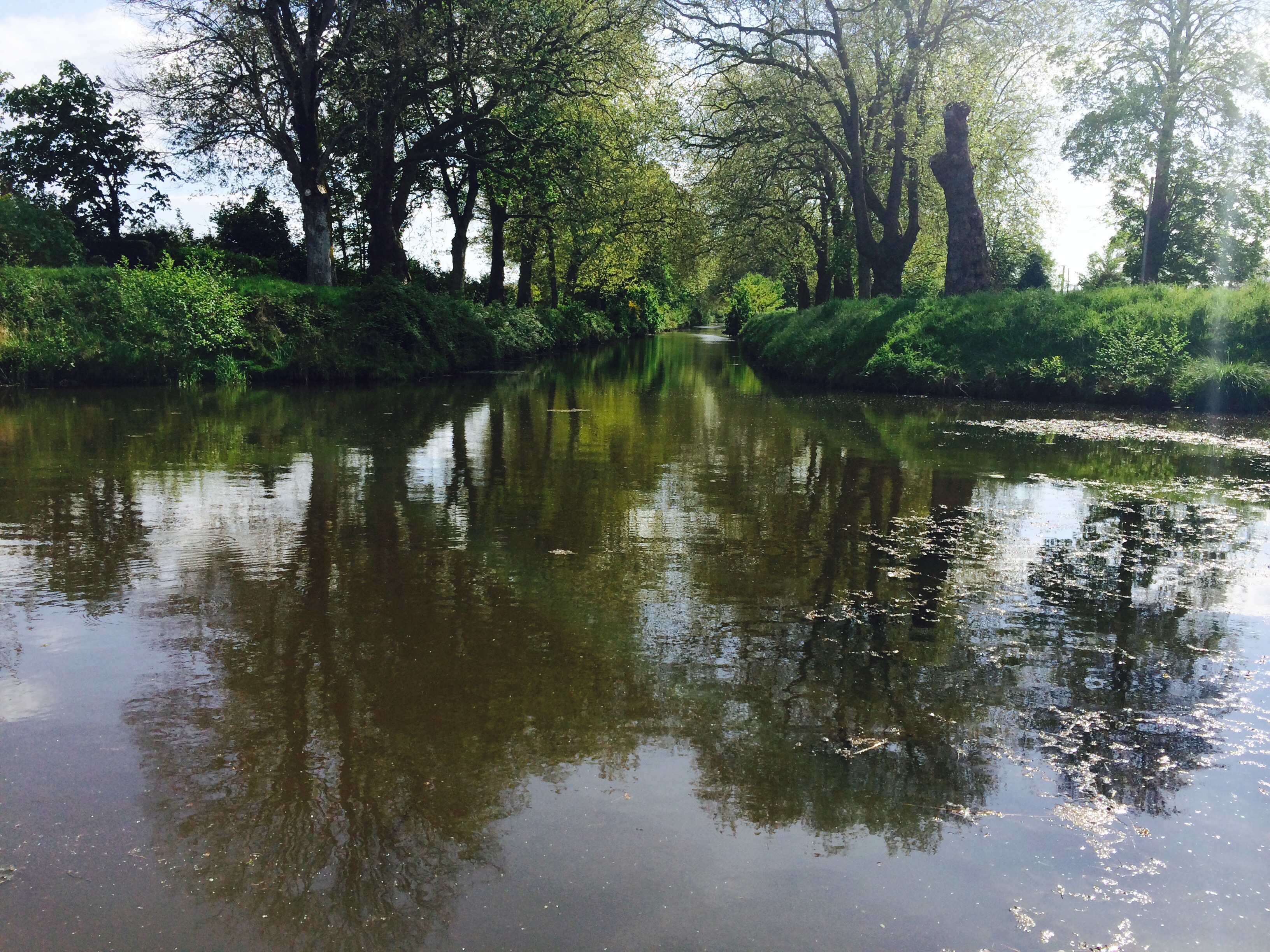
Les Forges
les Forges

Le château de Kerguéhennec
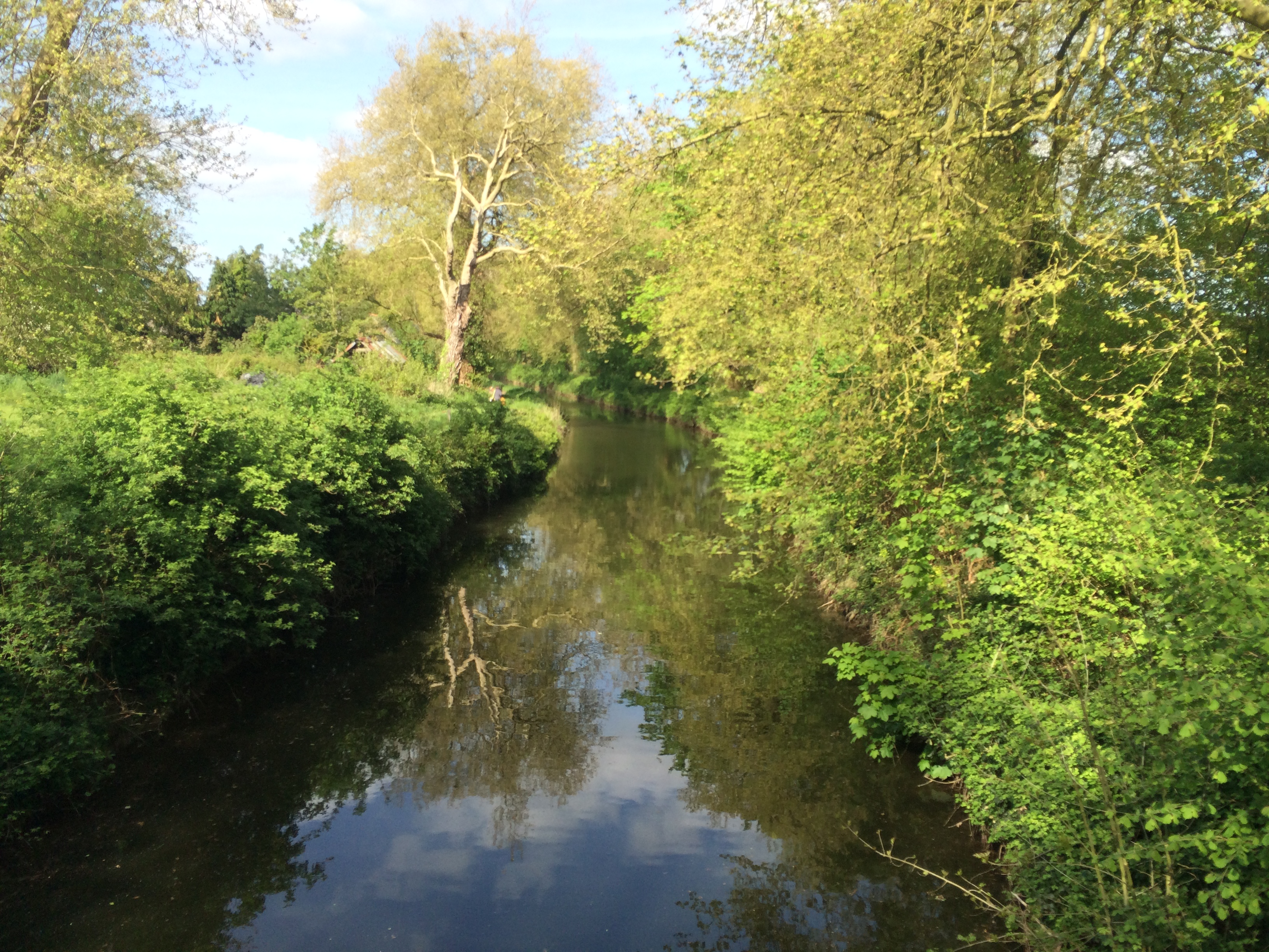
Sentier de Charme

Les Forges

Les clochettes de Kerguéhennec

Kerguéhennec l'hiver
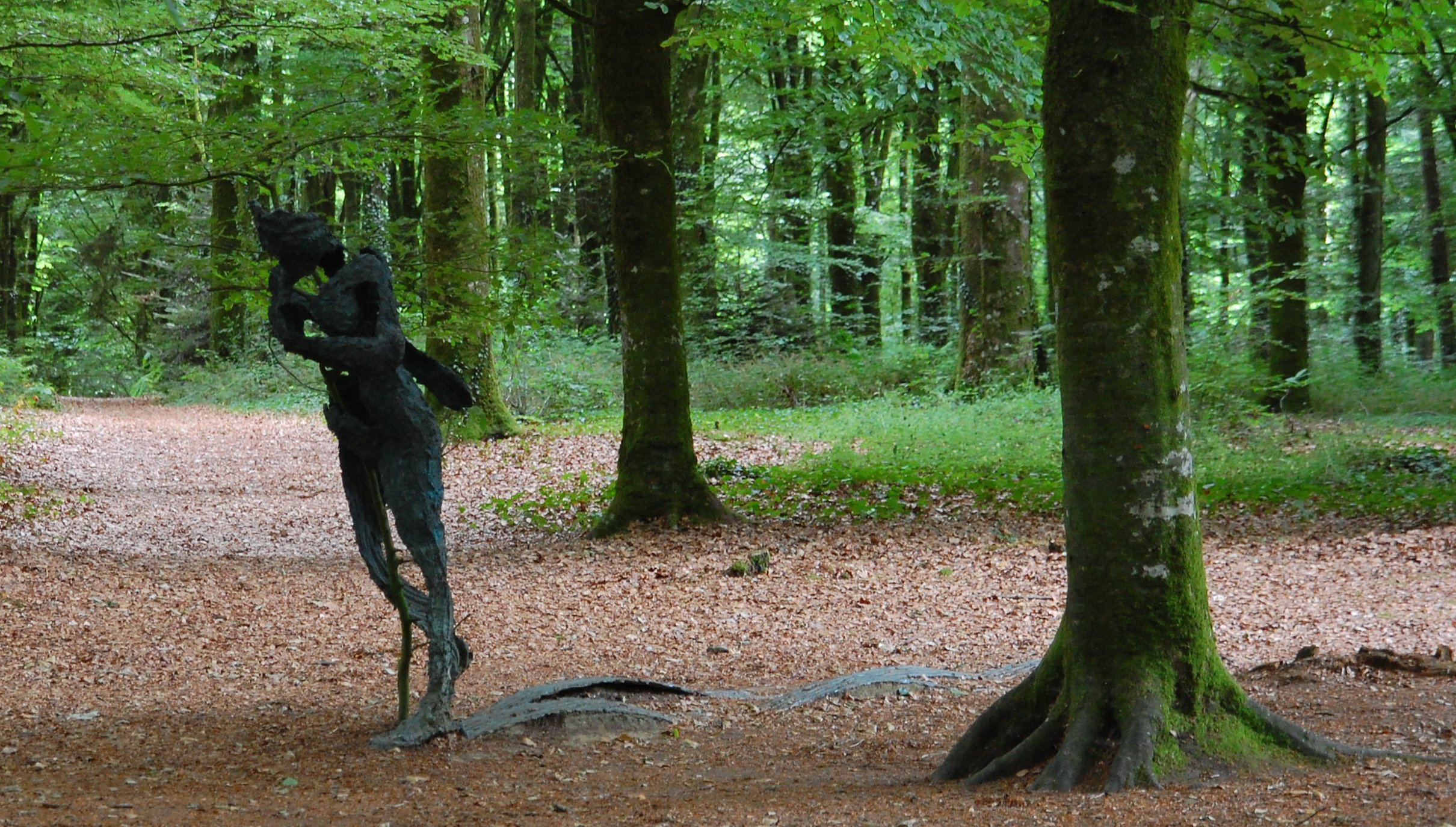
Together, one way or another
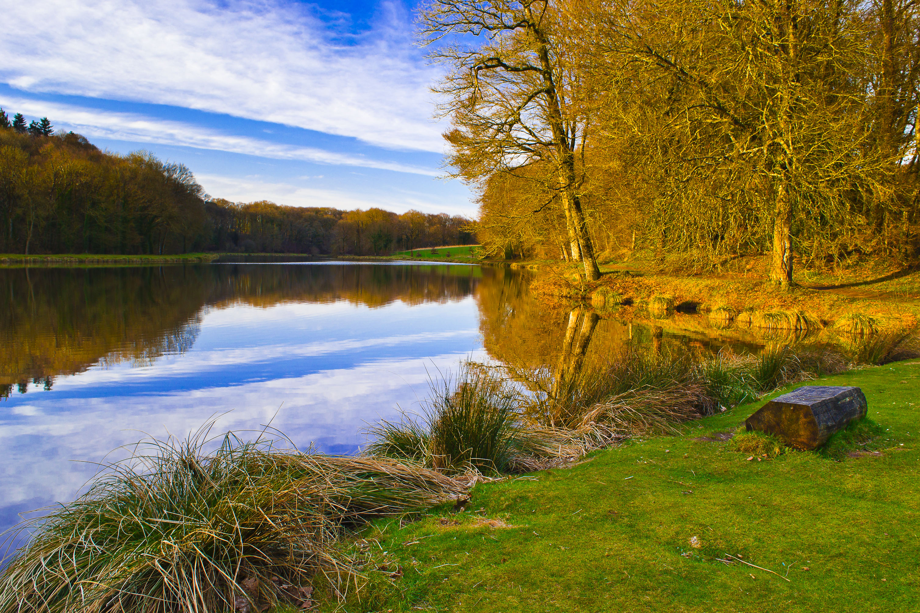
L'étang Blanc de Bignan - sur la route du château de Kerguéhennec

À l'approche de Moutoir-Ac

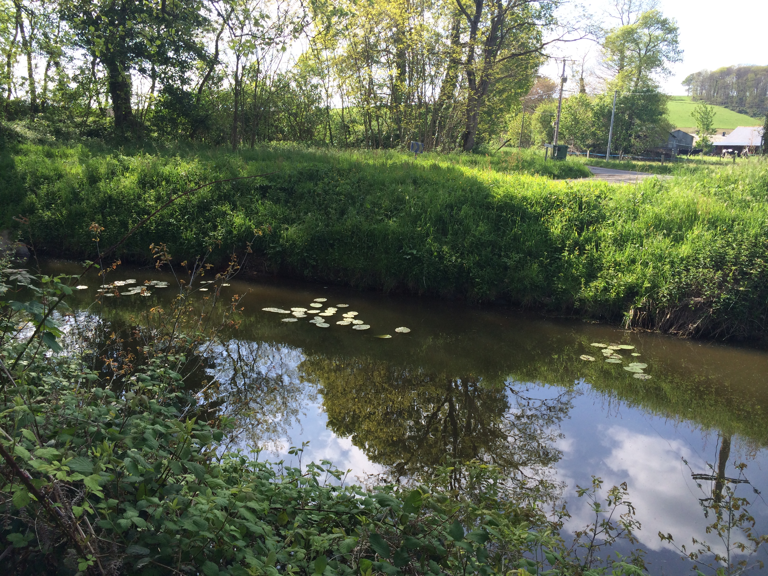
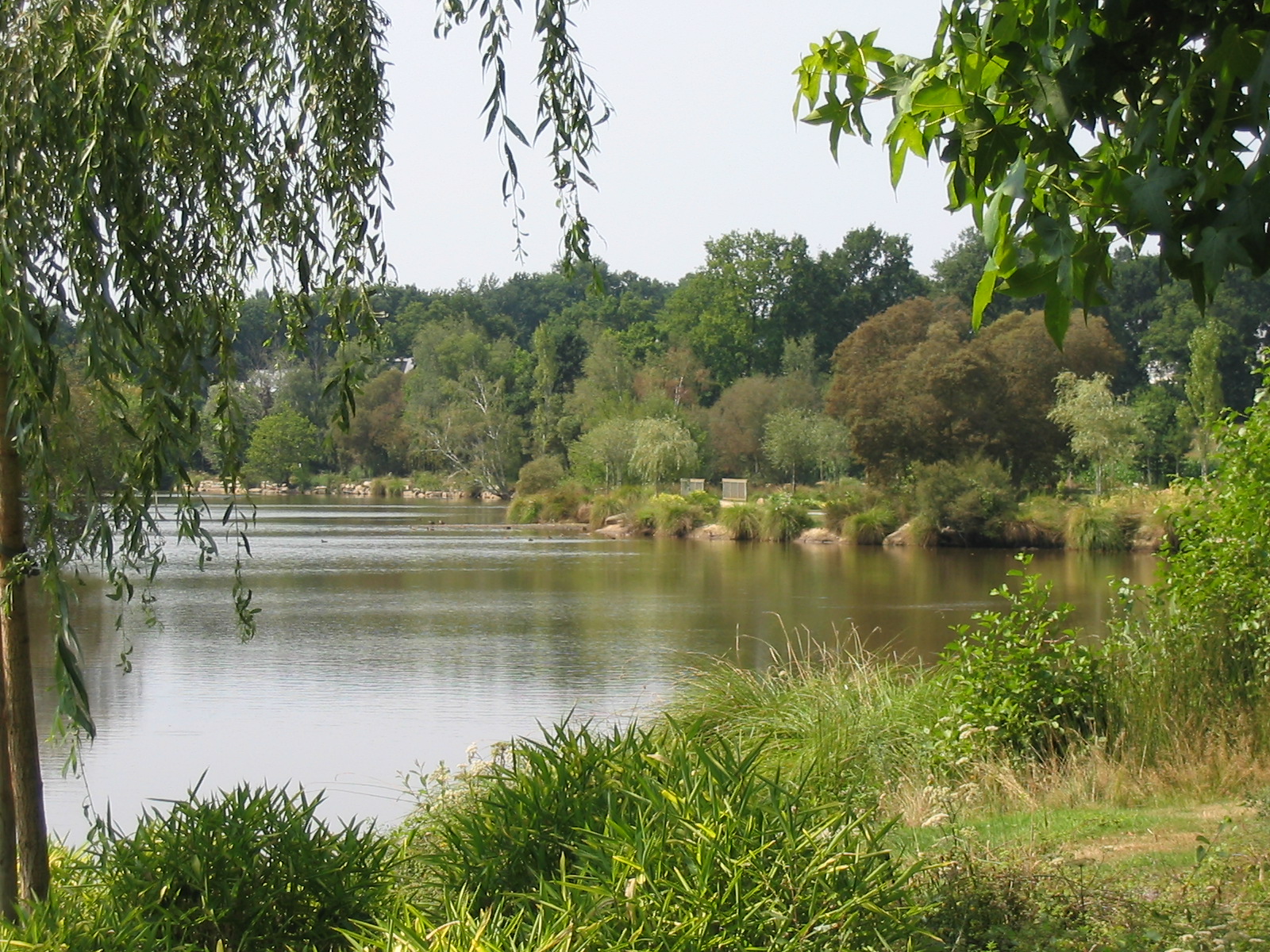
Etang de Kergroix
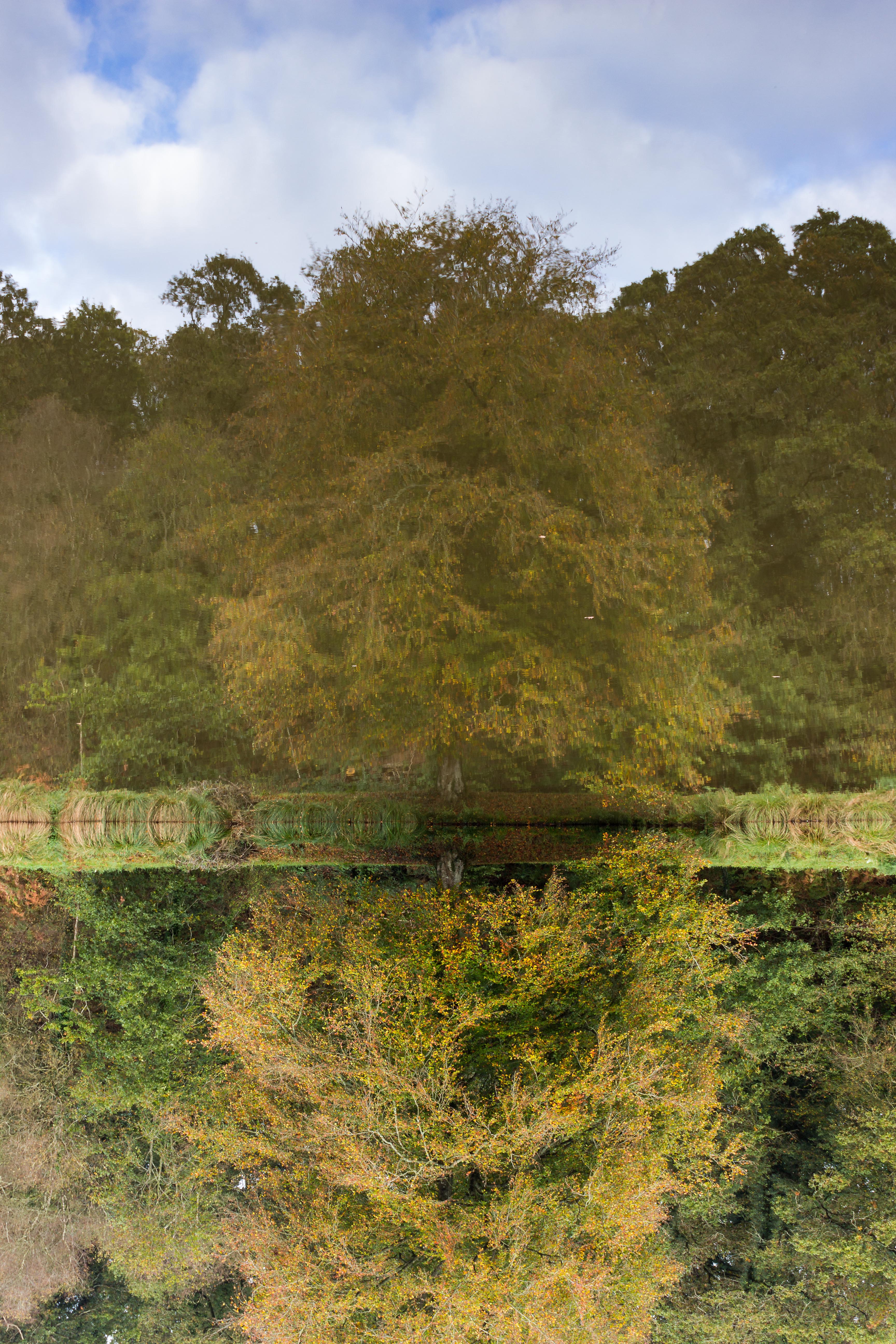
Réflexions

Such, fine day...

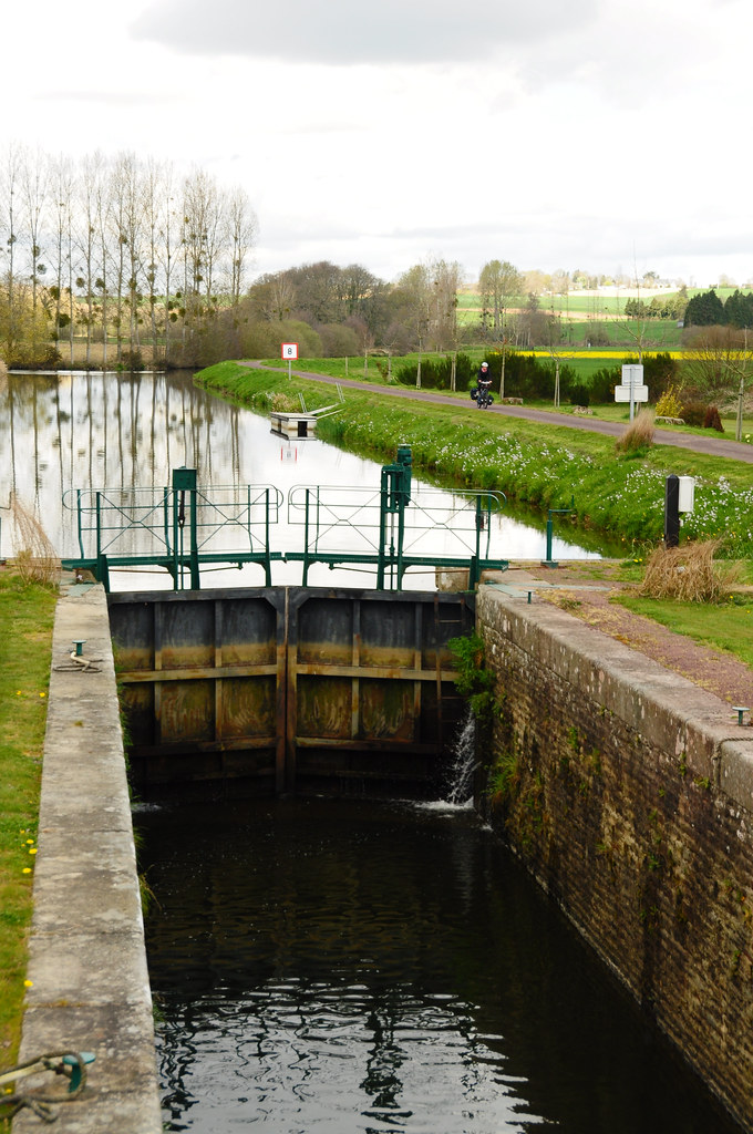
ROHAN plan d'eau

YA BREIZH Prizioù 2015 C
Chelmsford to Nantes
REGUINY plan d'eau

You Gotta Believe
Topographic Map of Naizin, France
Find elevation by address:

Places near Naizin, France:
Guéhenno
9 Rue de l'Église, Guéhenno, France
7 Place de l'Église, Rohan, France
Rohan
2 Rue Saint-Louis, Bréhan, France
Bréhan
18 Brambuan, La Croix-Helléan, France
La Croix-helléan
5220b
Atm (plouguenast)
Plouguenast
Gausson
13 Rue de Kernéant, Loyat, France
Loyat
Saint-gouéno
89 Trégadoret, Loyat, France
Brignac
12 D, Brignac, France
1 Rue du Calvaire, Caro, France
Caro
Recent Searches:
- Elevation of Hobbyhorse Ct, Dover, DE, USA
- Elevation of Horseshoe Ln, Dahlonega, GA, USA
- Elevation of Village Point Dr, Daphne, AL, USA
- Elevation map of Kabardino-Balkarian Republic, Russia
- Elevation of Tyrnyauz, Kabardino-Balkarian Republic, Russia
- Elevation of Sunset Dr, Hernando, MS, USA
- Elevation of Lake Rotoroa, Tasman, New Zealand
- Elevation of George St, New Bern, NC, USA
- Elevation of Cove Rd, Jasper, GA, USA
- Elevation of Cove Rd, Jasper, GA, USA