Elevation of Nahuatzen, Mich., Mexico
Location: Mexico > Michoacán > Nahuatzen >
Longitude: -101.91483
Latitude: 19.6552766
Elevation: 2418m / 7933feet
Barometric Pressure: 75KPa
Elevation Map:
Satellite Map:
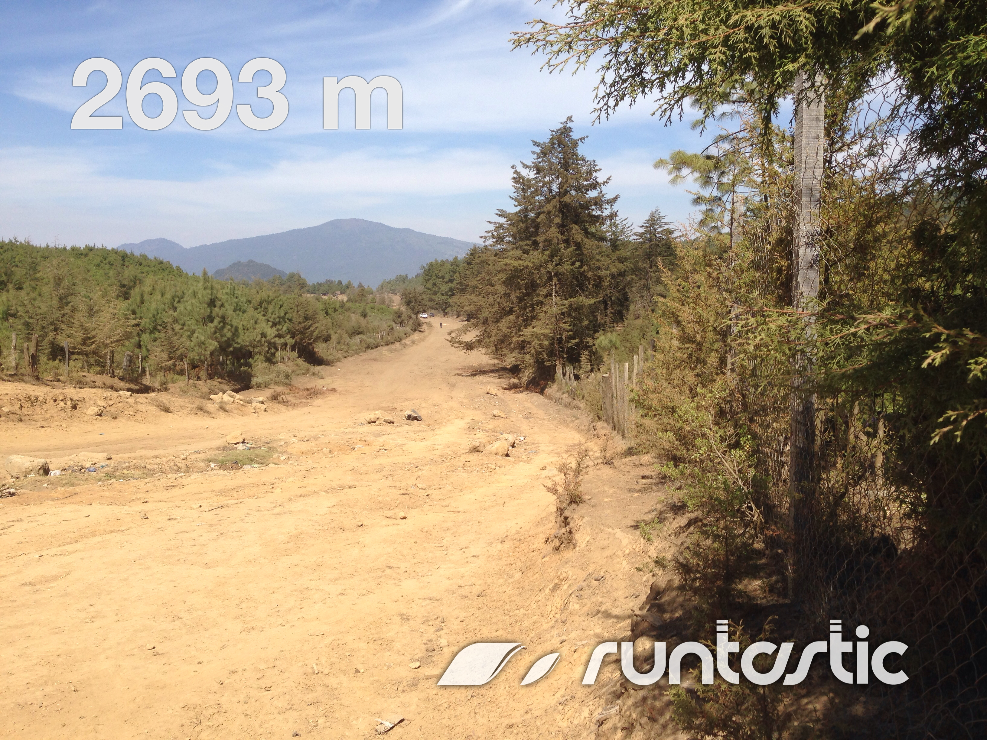
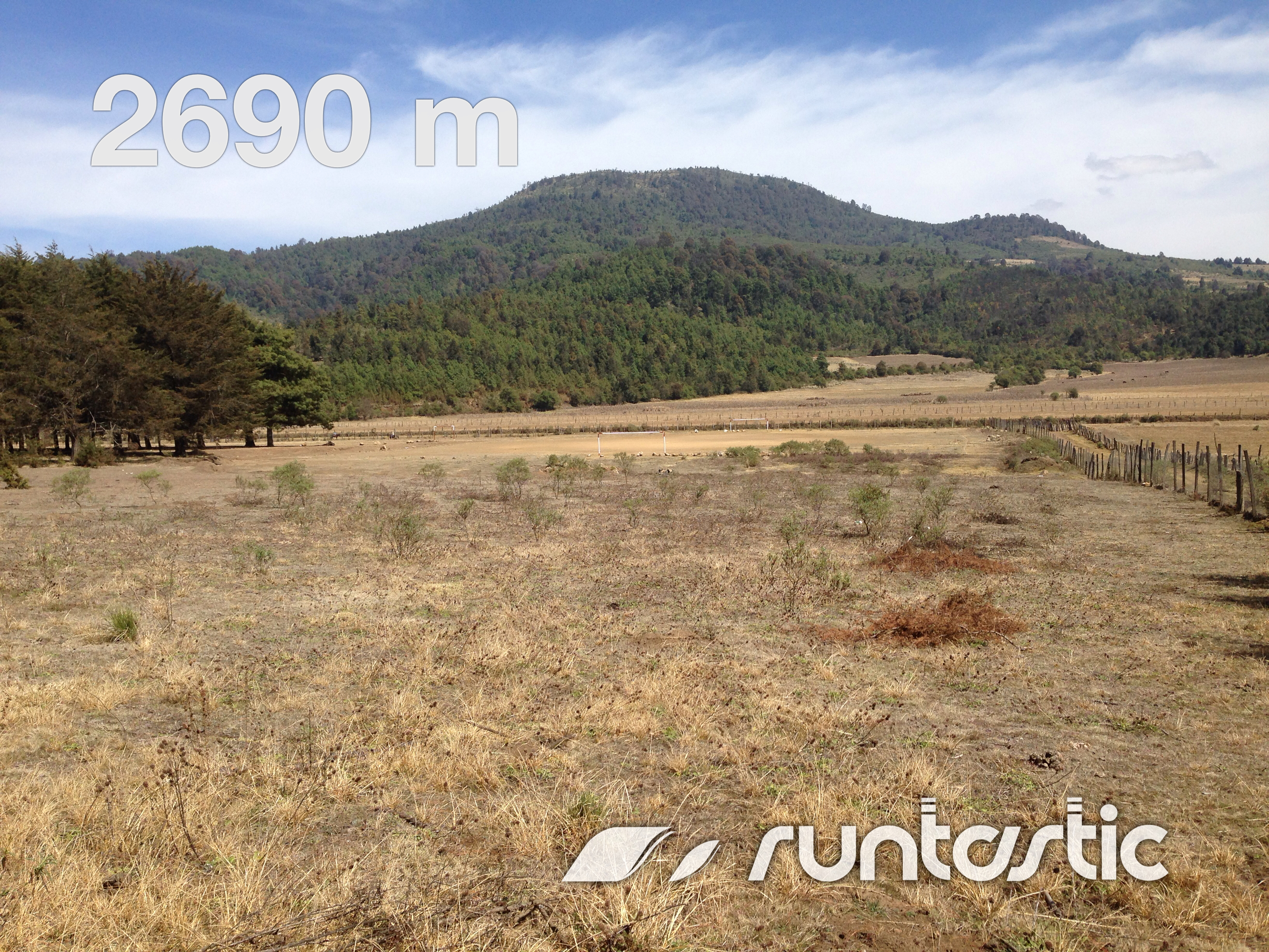
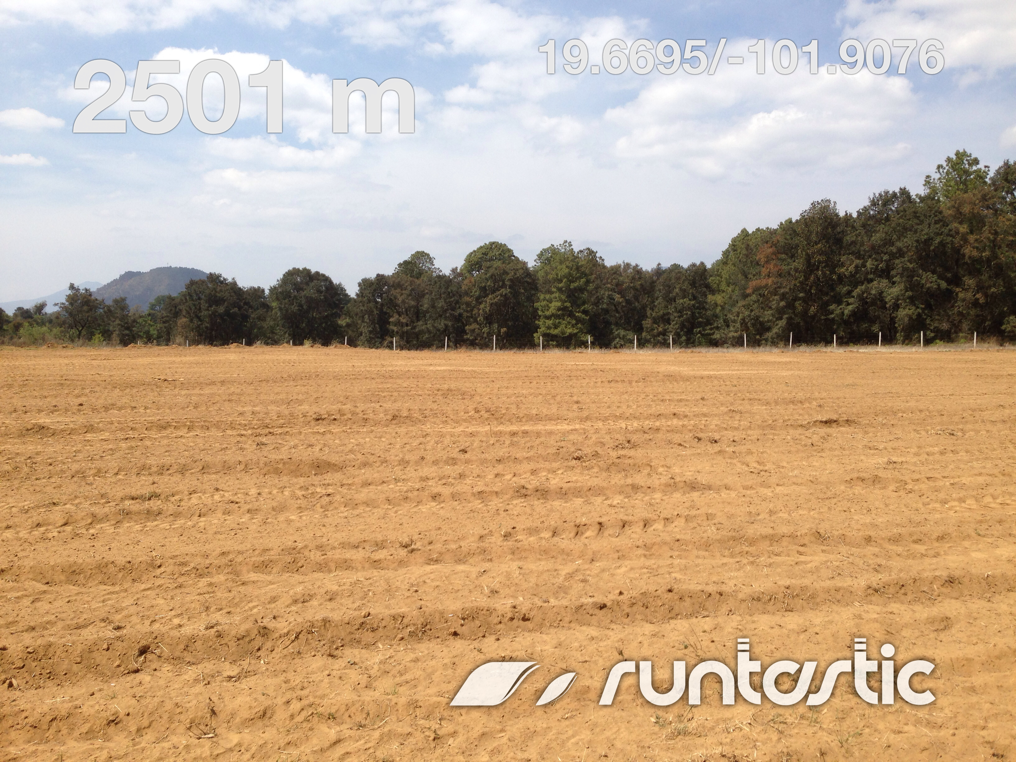
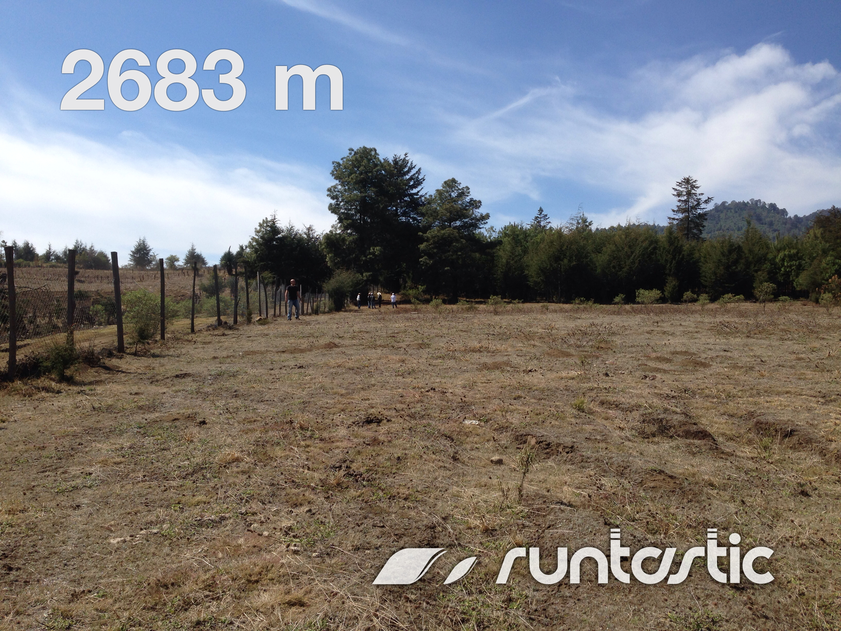
Related Photos:
Comachuén

Niebla en la tierra

CHERÁN
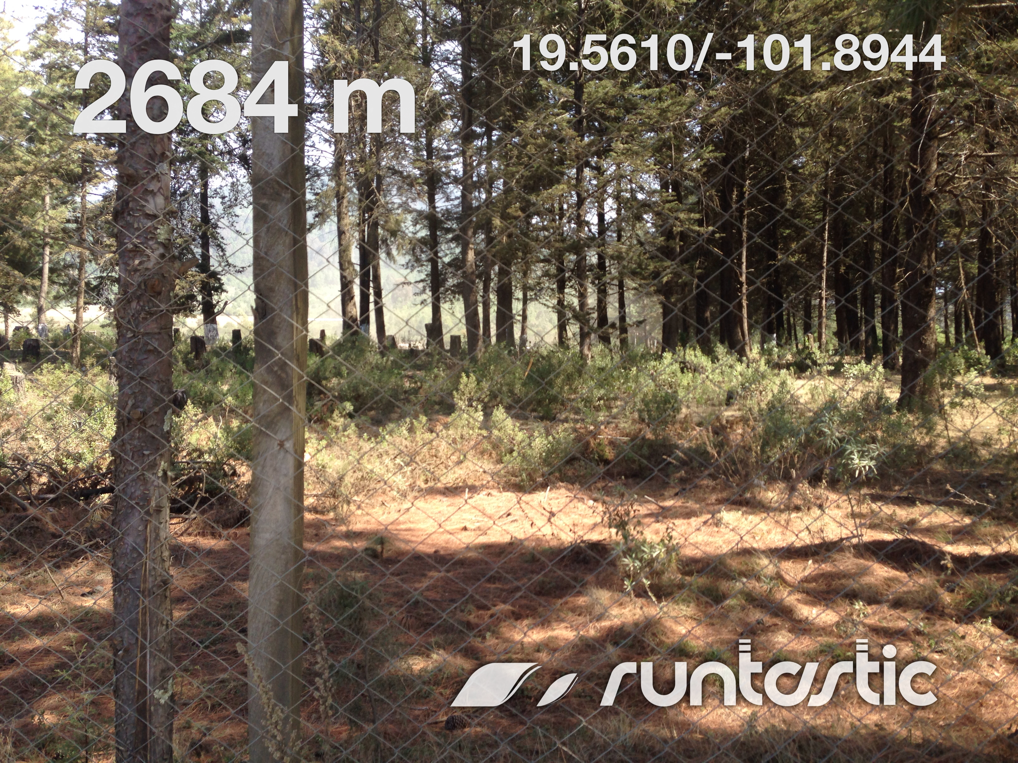
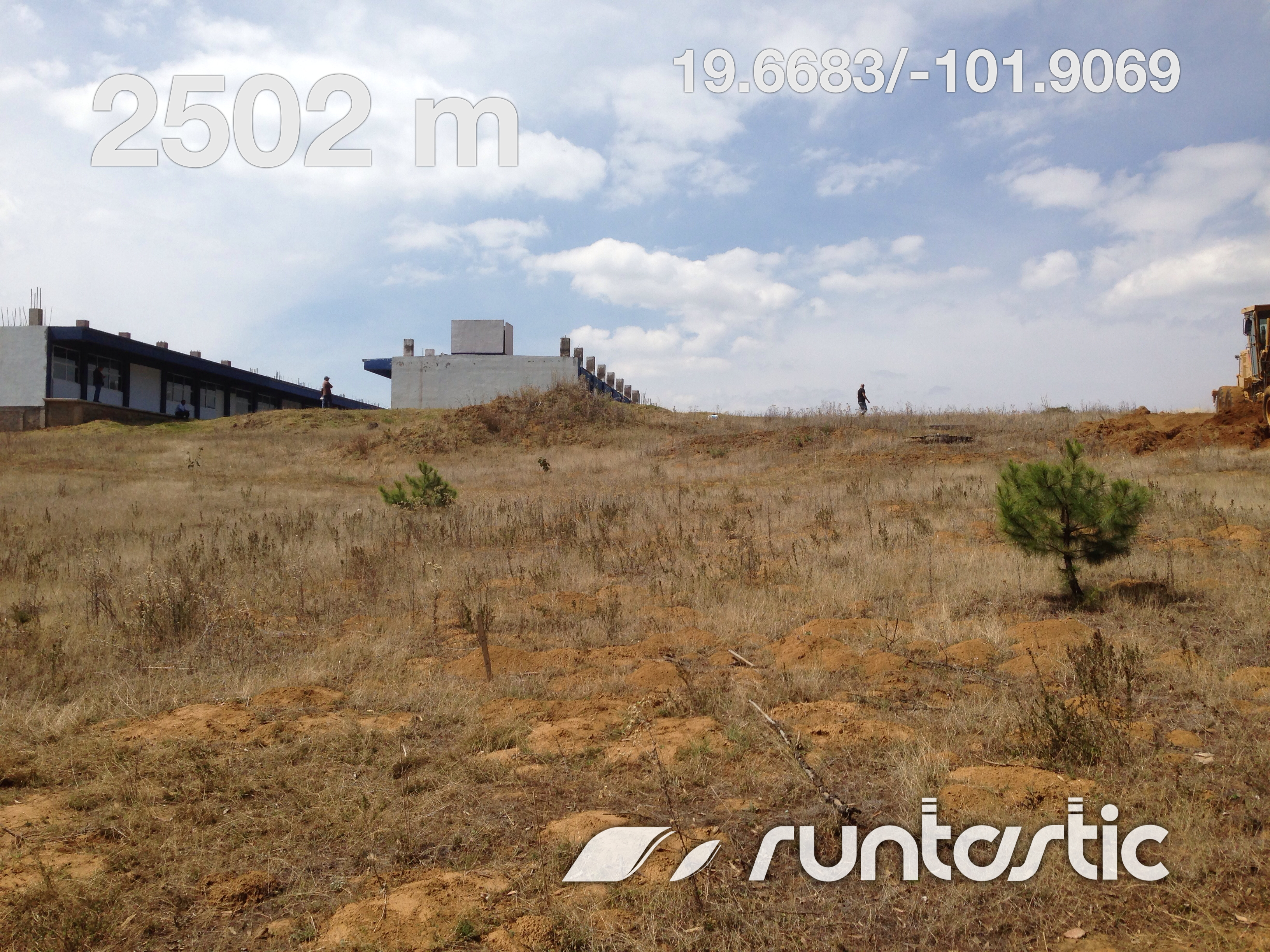
CECyTEM 18 Nahuatzen

CECyTEM 18 Nahuatzen

Las Pozas
Comachuén
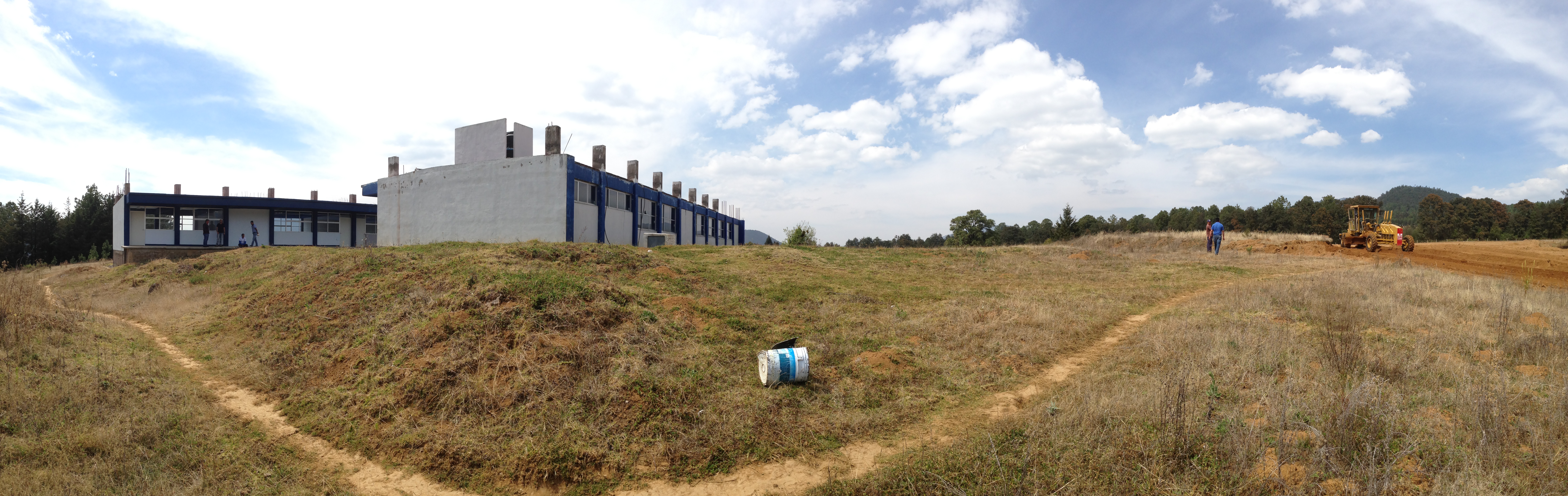
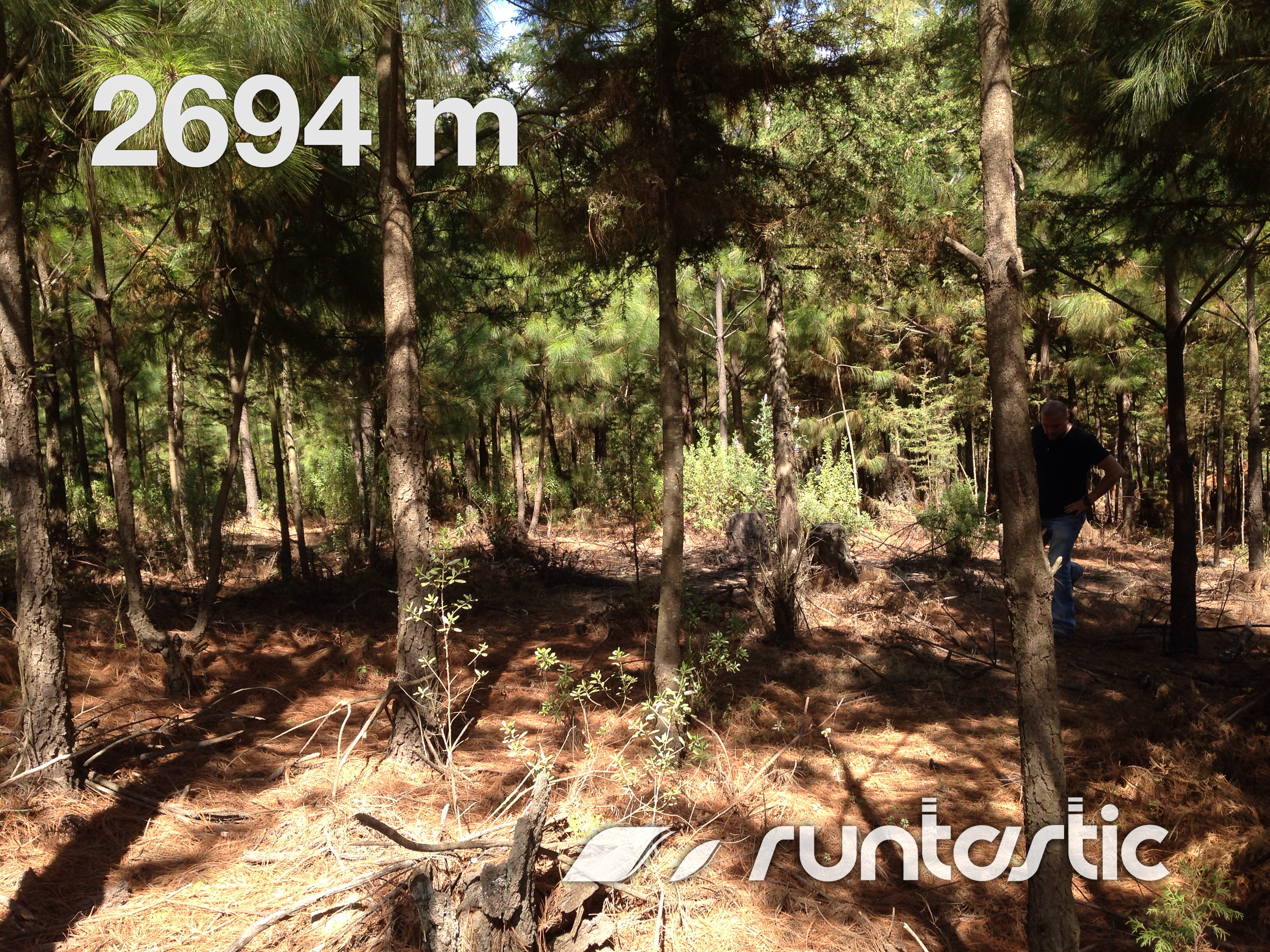
CECyTEM 18 Nahuatzen
Comachuén
Comachuén
CECyTEM 18 Nahuatzen
Comachuén
Topographic Map of Nahuatzen, Mich., Mexico
Find elevation by address:

Places near Nahuatzen, Mich., Mexico:
Nahuatzen
Nahuatzen
Nahuatzen
Nahuatzen
Nahuatzen
Nahuatzen
Nahuatzen
Nahuatzen
Nahuatzen
Nahuatzen
Nahuatzen
Nahuatzen
Nahuatzen
Nahuatzen
Nahuatzen
Nahuatzen
Nahuatzen
Nahuatzen
Nahuatzen
Nahuatzen
Recent Searches:
- Elevation of Corso Fratelli Cairoli, 35, Macerata MC, Italy
- Elevation of Tallevast Rd, Sarasota, FL, USA
- Elevation of 4th St E, Sonoma, CA, USA
- Elevation of Black Hollow Rd, Pennsdale, PA, USA
- Elevation of Oakland Ave, Williamsport, PA, USA
- Elevation of Pedrógão Grande, Portugal
- Elevation of Klee Dr, Martinsburg, WV, USA
- Elevation of Via Roma, Pieranica CR, Italy
- Elevation of Tavkvetili Mountain, Georgia
- Elevation of Hartfords Bluff Cir, Mt Pleasant, SC, USA