Elevation of Nagykereki, Hungary
Location: Hungary >
Longitude: 21.7922805
Latitude: 47.1863168
Elevation: 100m / 328feet
Barometric Pressure: 100KPa
Elevation Map:
Satellite Map:
Related Photos:

M62, Biharkeresztes/Hungary, 23 Sept 2006

Exploring some amazing caves in Romania Best regards, Andrei
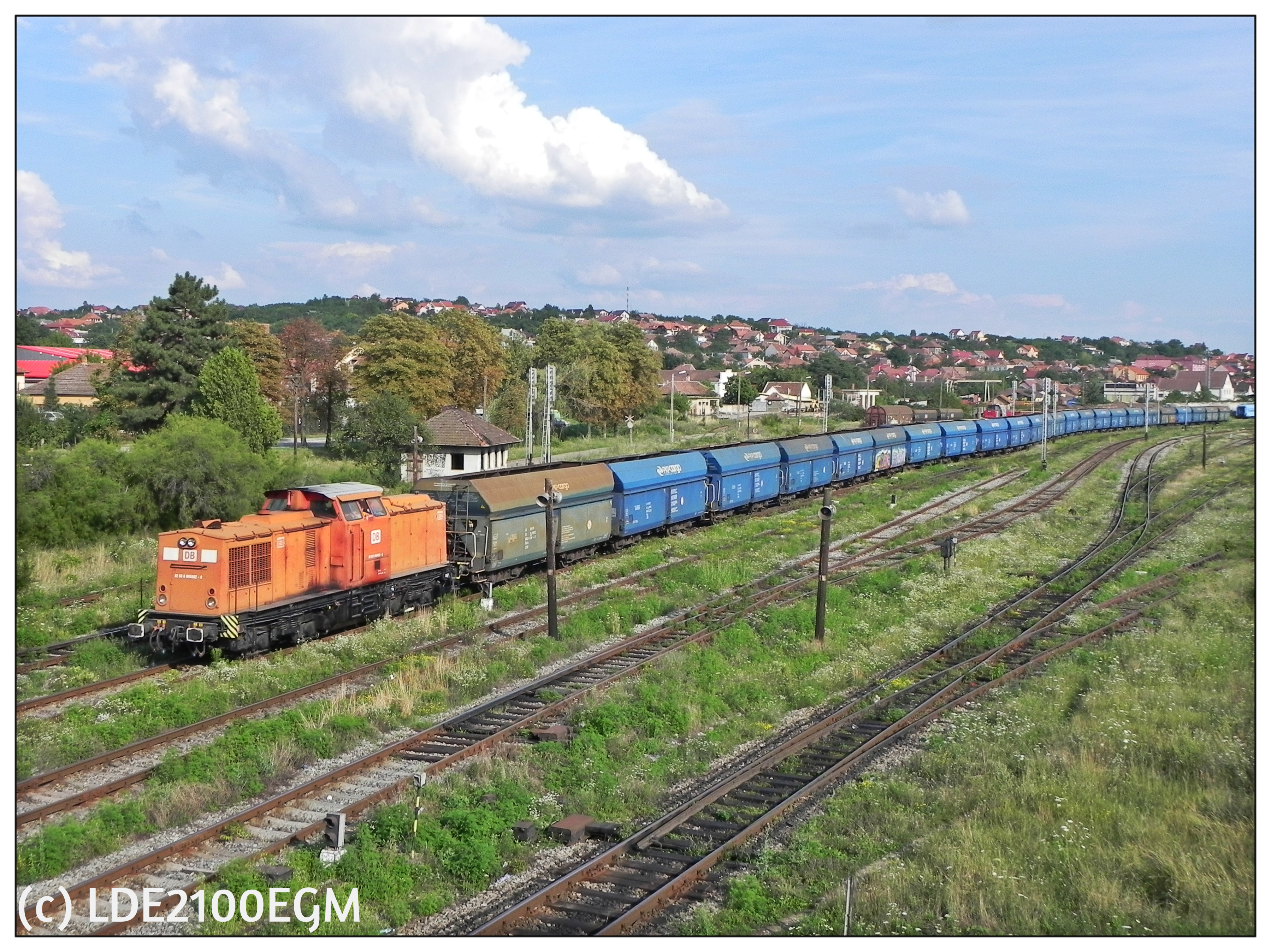
845002-0 RO-DBSR
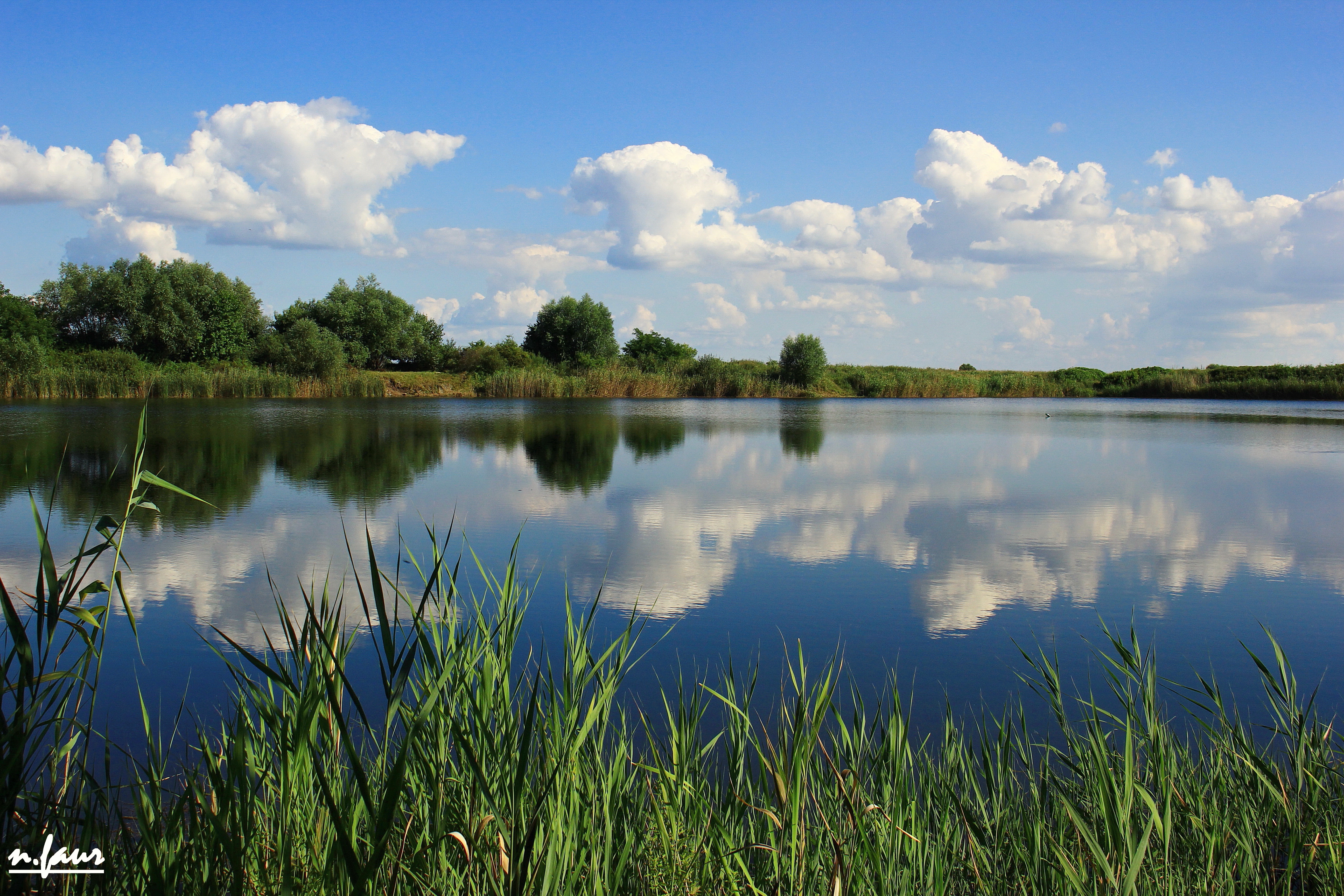
Bors Lake
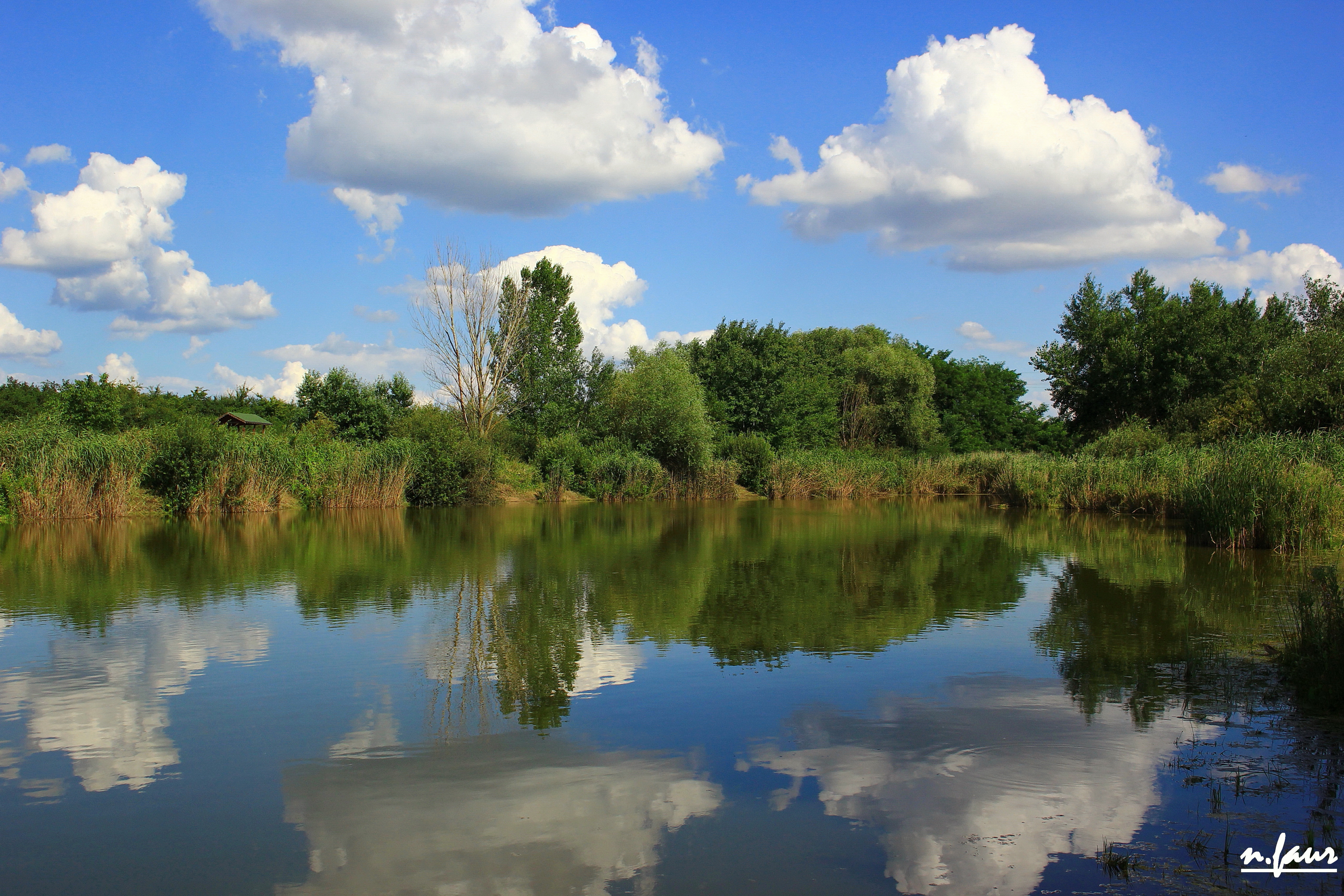
Santau Mic
2017-12-15 014

rape field

Romania landscapes

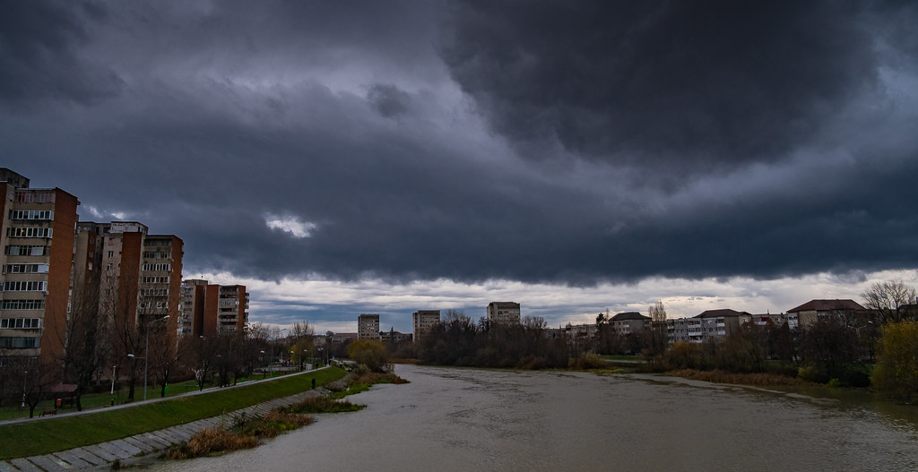
A geological fault line

Lakeside evening 2
2016-09-03 - 020

2016-09-03 - 016
Topographic Map of Nagykereki, Hungary
Find elevation by address:

Places near Nagykereki, Hungary:
Biharkeresztes
Oradea
Oradea
Létavértes
Calea Clujului
Debreceni
Hajdú-bihar
Debrecen
Gyolcsos U. 29
Dózsa György Primary School
Böszörményi út 30
Bihor County
Nyírábrány
Sambata
Rotărești
Vésztő
Püspökladány
Folyás
Recent Searches:
- Elevation of Crocker Dr, Vacaville, CA, USA
- Elevation of Pu Ngaol Community Meeting Hall, HWHM+3X7, Krong Saen Monourom, Cambodia
- Elevation of Royal Ontario Museum, Queens Park, Toronto, ON M5S 2C6, Canada
- Elevation of Groblershoop, South Africa
- Elevation of Power Generation Enterprises | Industrial Diesel Generators, Oak Ave, Canyon Country, CA, USA
- Elevation of Chesaw Rd, Oroville, WA, USA
- Elevation of N, Mt Pleasant, UT, USA
- Elevation of 6 Rue Jules Ferry, Beausoleil, France
- Elevation of Sattva Horizon, 4JC6+G9P, Vinayak Nagar, Kattigenahalli, Bengaluru, Karnataka, India
- Elevation of Great Brook Sports, Gold Star Hwy, Groton, CT, USA