Elevation of Nadvirna, Ivano-Frankivs'ka oblast, Ukraine
Location: Ukraine > Ivano-frankivs'ka Oblast > Nadvornyans'kyi District >
Longitude: 24.5759679
Latitude: 48.6211999
Elevation: 440m / 1444feet
Barometric Pressure: 96KPa
Elevation Map:
Satellite Map:
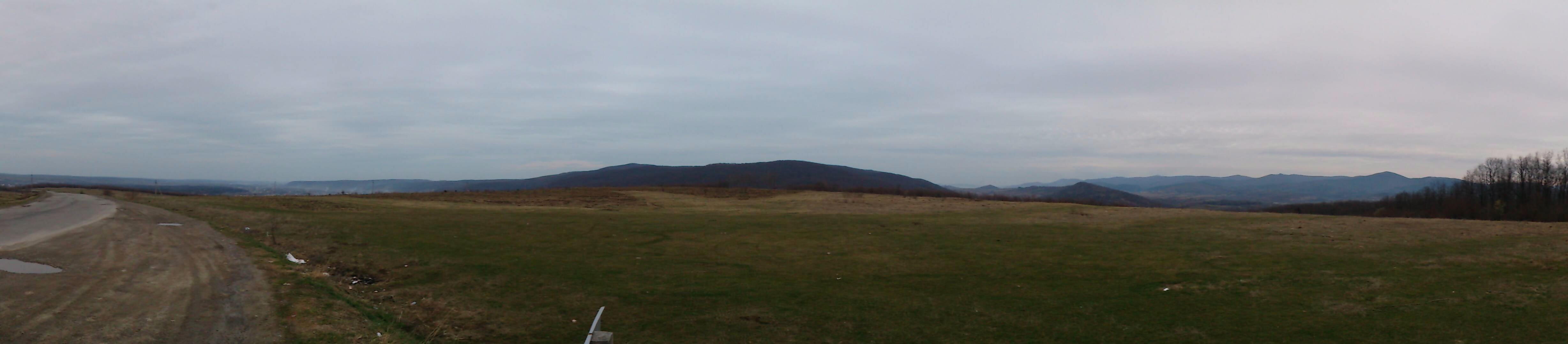
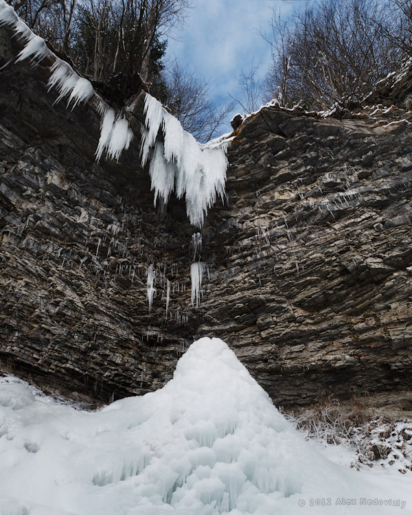
Related Photos:

IMG_0520_IMG_0527-8-images

Buhtivets Waterfall

IMG_0674_IMG_0676-3-images

IMG_0529_IMG_0539-11-images

IMG_0634_IMG_0636-3-images

Манява. Дорога в Манявский скит

IMG_0589_IMG_0590-2-images
2017-03-26_01-27-34
IMG_0600_IMG_0614-15-images

IMG_0567_IMG_0572-6-images
Topographic Map of Nadvirna, Ivano-Frankivs'ka oblast, Ukraine
Find elevation by address:

Places near Nadvirna, Ivano-Frankivs'ka oblast, Ukraine:
Nadvornyans'kyi District
Yaremche
Yaremchans'ka City Council
Polyanytsya
Bukovel
Ivano-frankivs'ka Oblast
Ivano-frankivsk
Hoverla
Kosivs'kyi District
Rakhivs'kyi District
Kosiv
Rakhiv
вулиця Миру, 14, Rakhiv, Zakarpats'ka oblast, Ukraine
Suceava
Recent Searches:
- Elevation of Congressional Dr, Stevensville, MD, USA
- Elevation of Bellview Rd, McLean, VA, USA
- Elevation of Stage Island Rd, Chatham, MA, USA
- Elevation of Shibuya Scramble Crossing, 21 Udagawacho, Shibuya City, Tokyo -, Japan
- Elevation of Jadagoniai, Kaunas District Municipality, Lithuania
- Elevation of Pagonija rock, Kranto 7-oji g. 8"N, Kaunas, Lithuania
- Elevation of Co Rd 87, Jamestown, CO, USA
- Elevation of Tenjo, Cundinamarca, Colombia
- Elevation of Côte-des-Neiges, Montreal, QC H4A 3J6, Canada
- Elevation of Bobcat Dr, Helena, MT, USA