Elevation of N Wye Rd, Wytheville, VA, USA
Location: United States > Virginia > Wythe County > Wytheville >
Longitude: -81.101417
Latitude: 36.9177935
Elevation: 727m / 2385feet
Barometric Pressure: 93KPa
Elevation Map:
Satellite Map:
Related Photos:
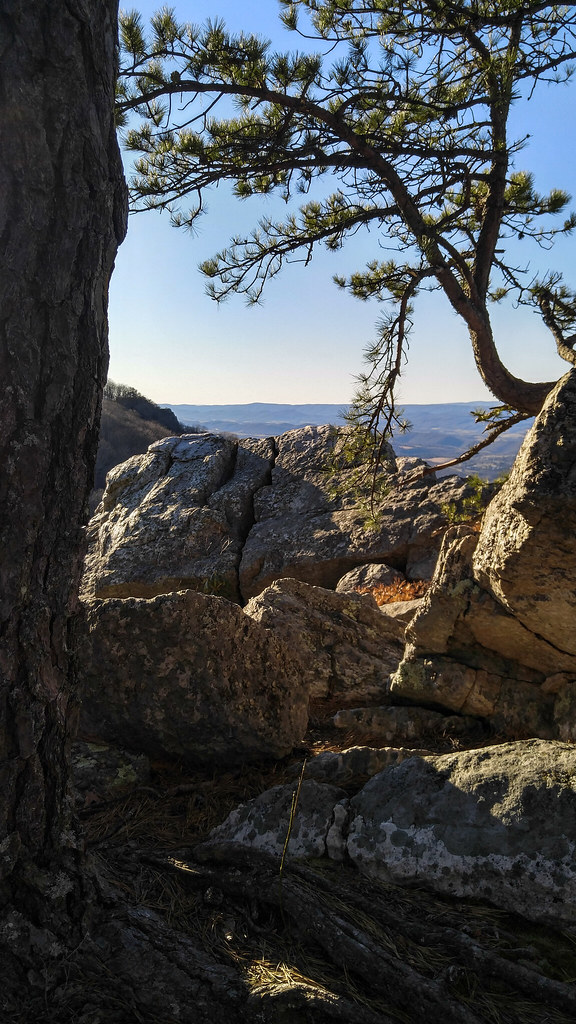
High Rocks Trail, Wytheville VA.
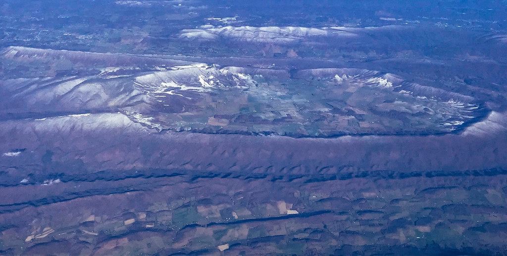
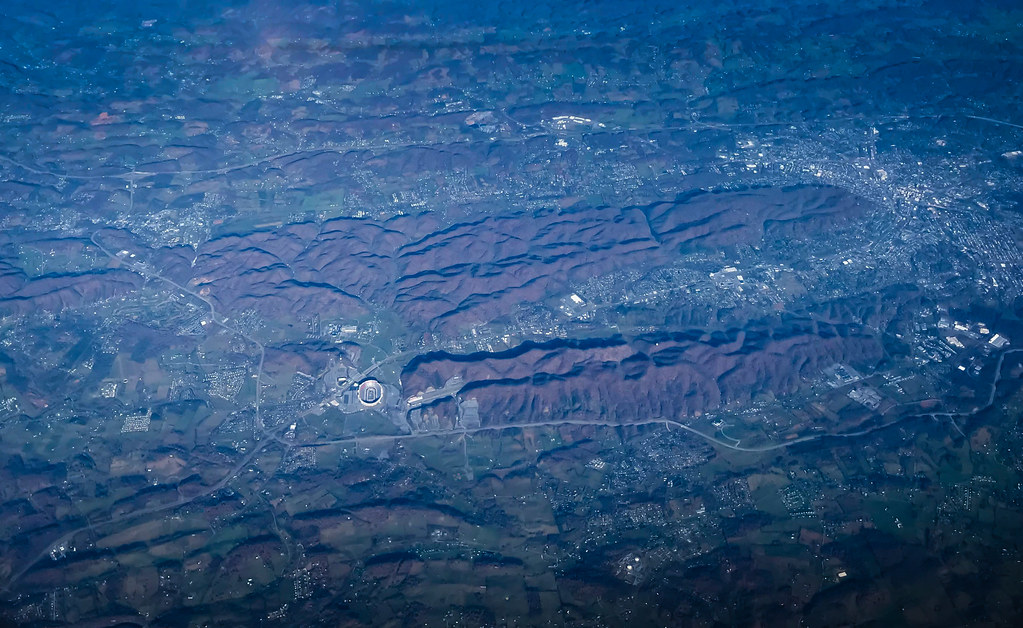
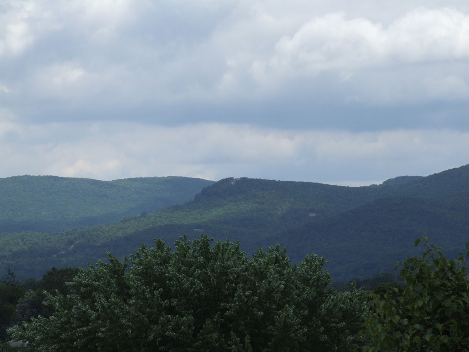
Aerial view of Blue Ridge Mountains and Shenandoah Valley near Blacksburg VA

Hanging at High Rocks. Wytheville VA

View from roof of Bolling Wilson Hotel

View from roof of Bolling Wilson Hotel

View from the parking lot
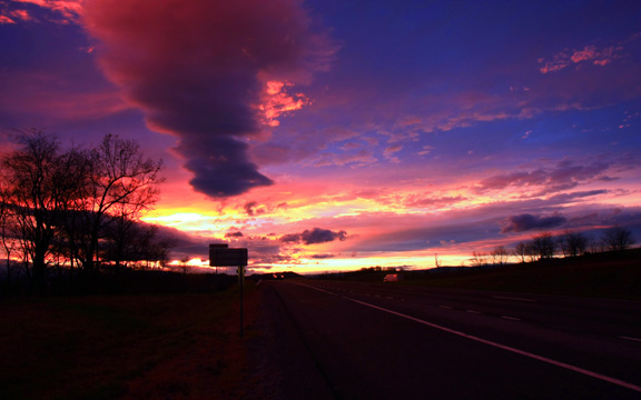
Wytheville,VA sunset16
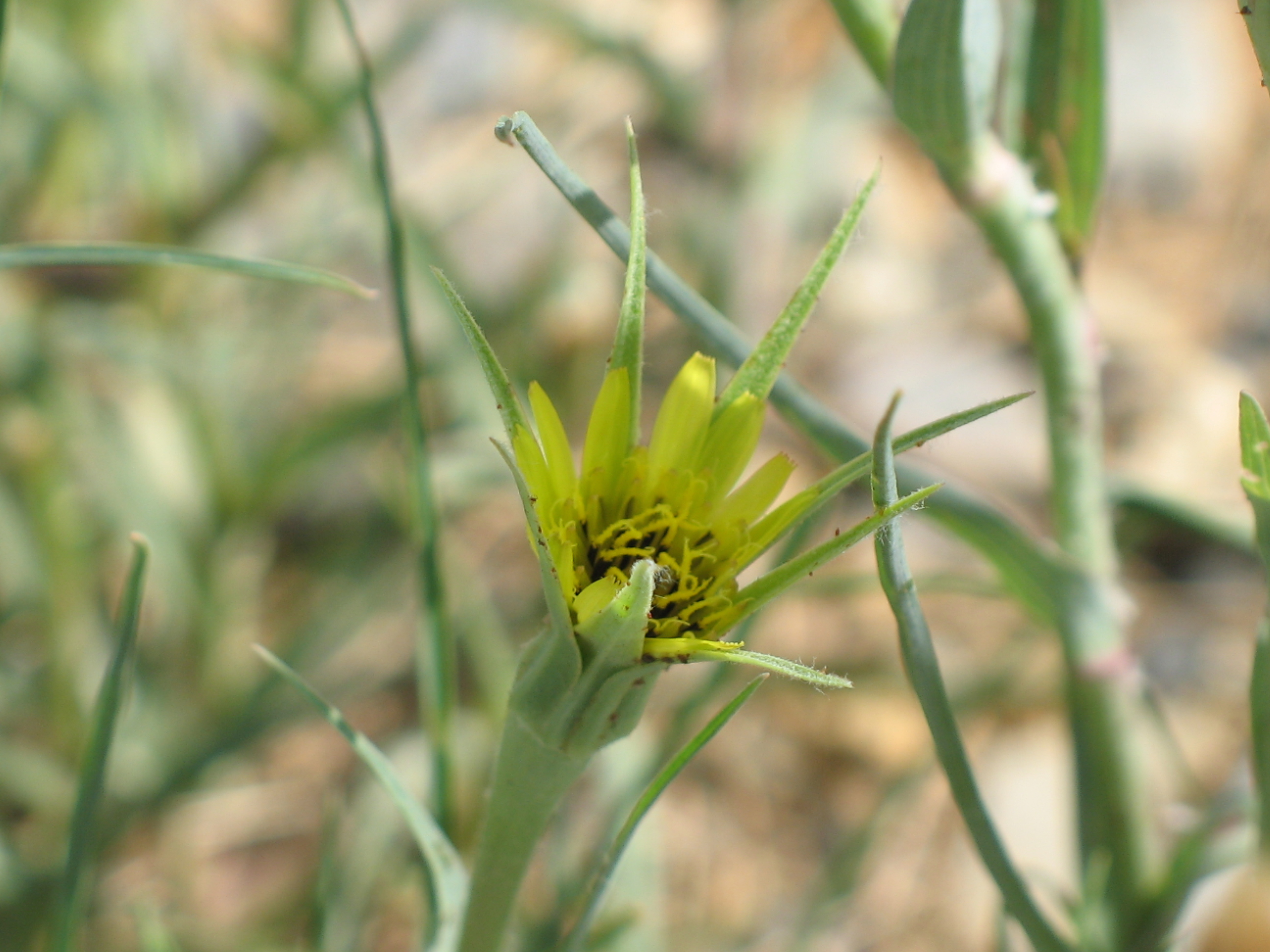
Yellow Goatsbeard - Tragopogon dubius
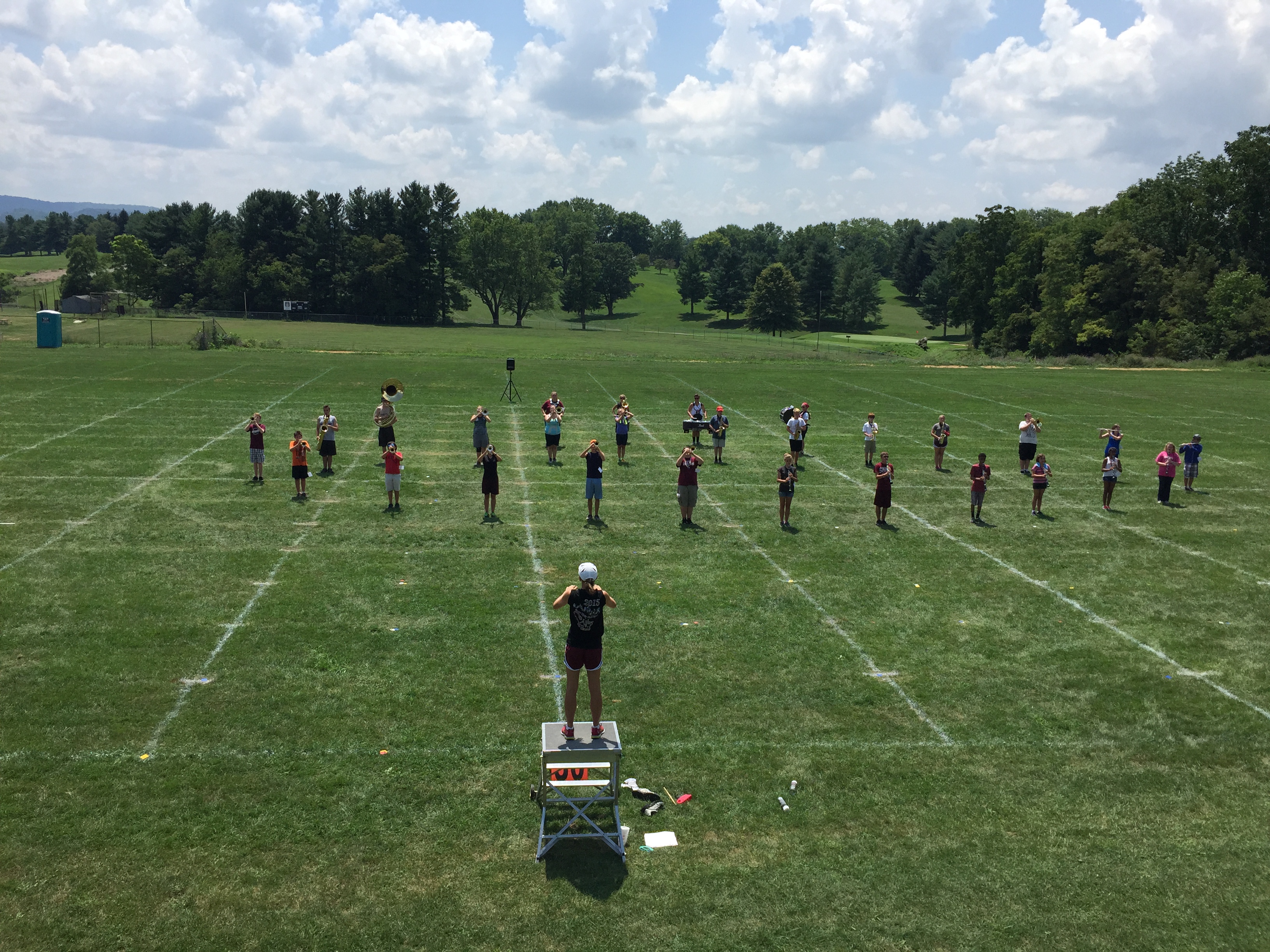
2015 Band Camp
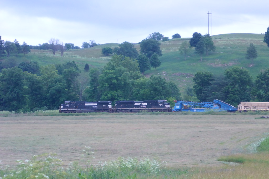
NS Train tied down in Wytheville
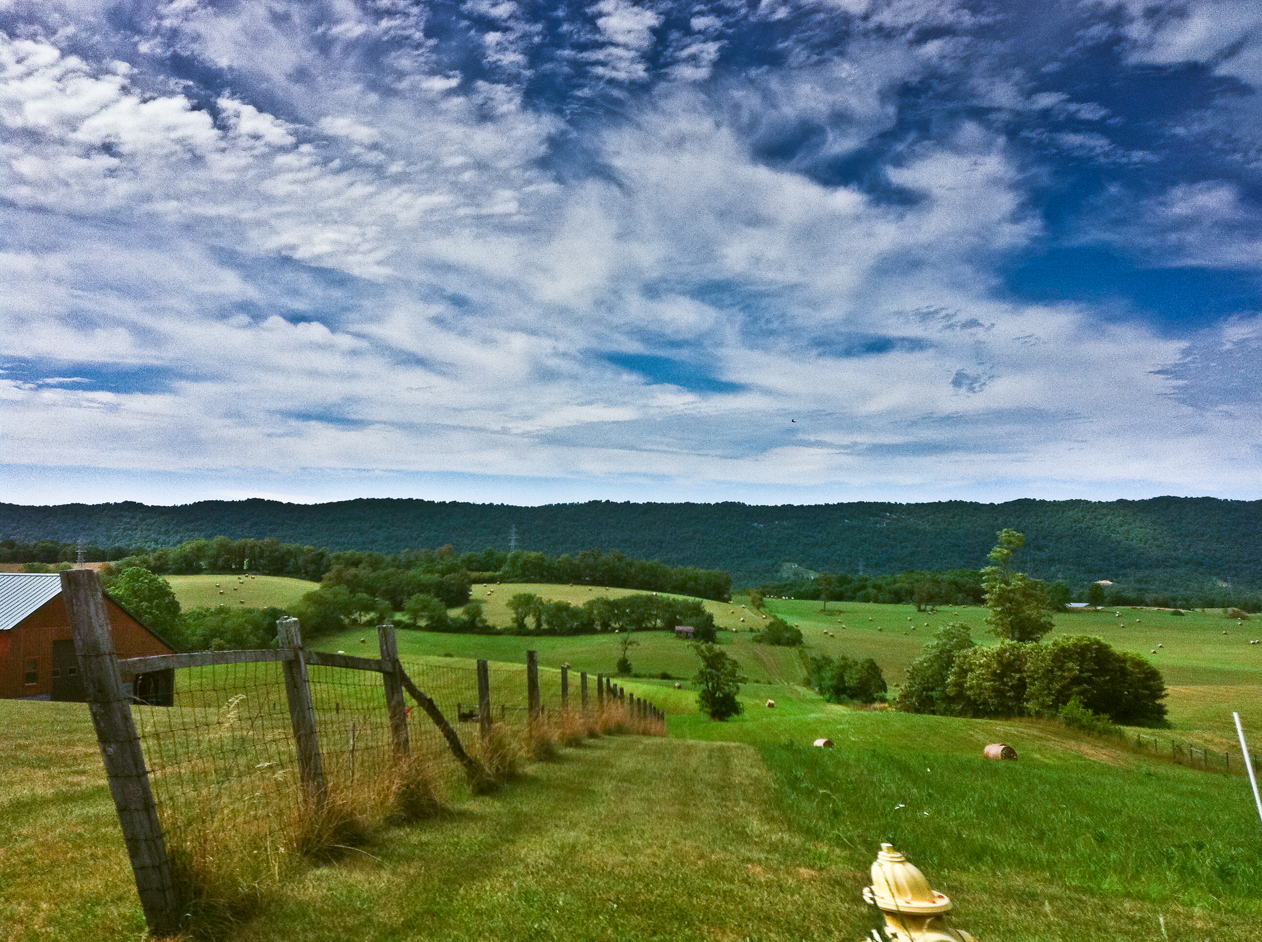
Rural Retreat
From my Window
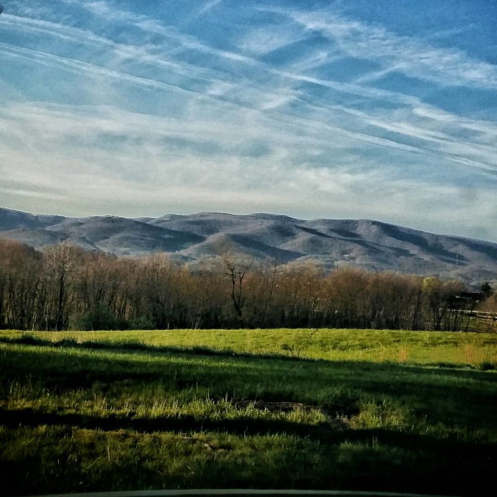
In the foothills of the Blue Ridge Mountains #virginia #america #mountains #sunrise #goodmorning #blueskies #travel #roadtrip #theroadlesstraveled #driving #igersbuffalo
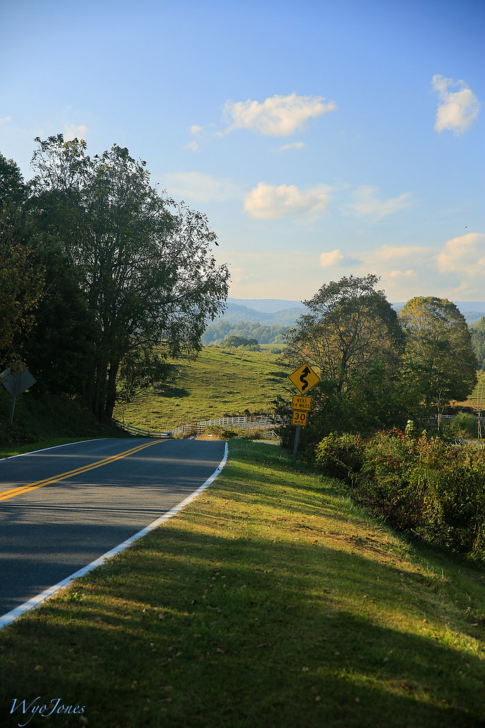
Rural Road
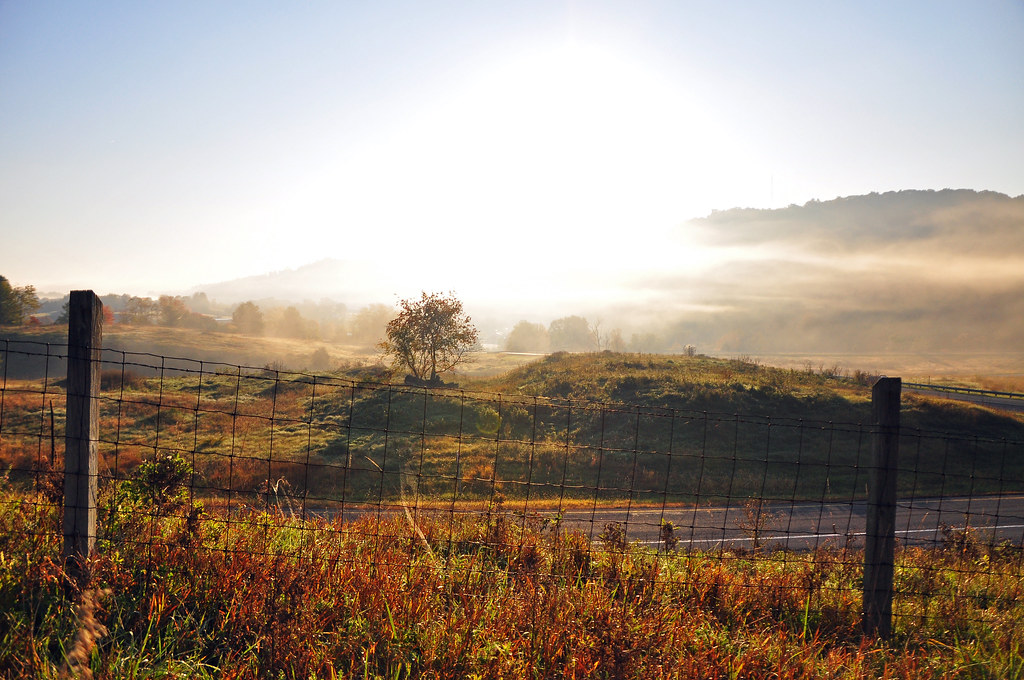
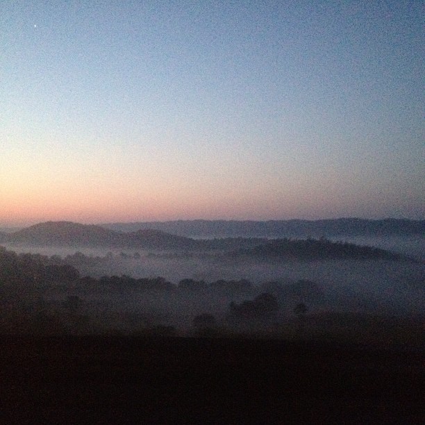
Virginia Fog
Driving through beautiful landscapes on an overcast day
Sunrise this morning somewhere on our way home from the beach. Foggy.

iPhone 4S
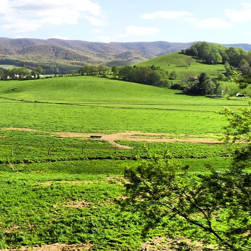
Virginia is Beautiful

photo.jpg
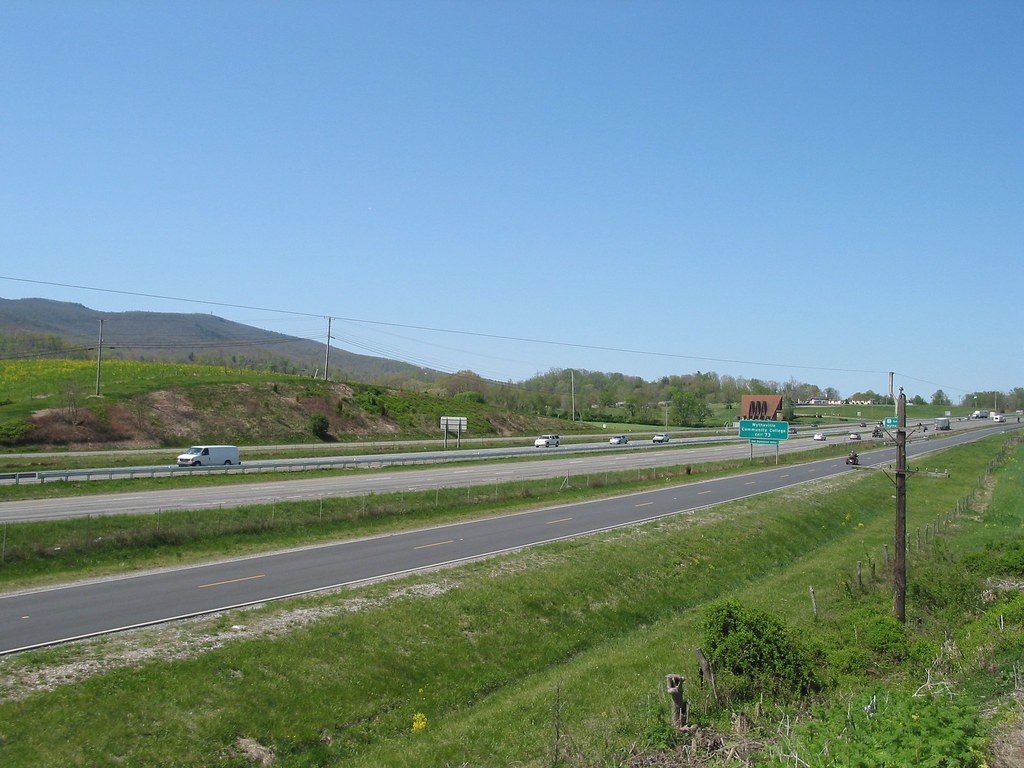
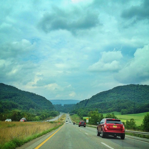
I81 from Wytheville va
Aerial view of Virginia Tech University Lane Stadium and Shenandoah Valley - Blacksburg VA

11-4455
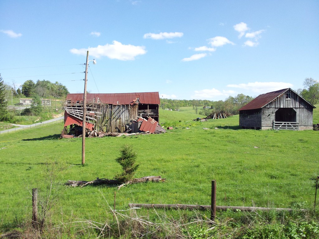
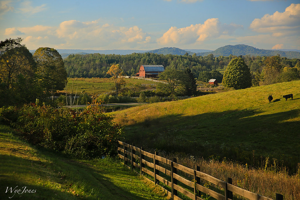
Old Barns
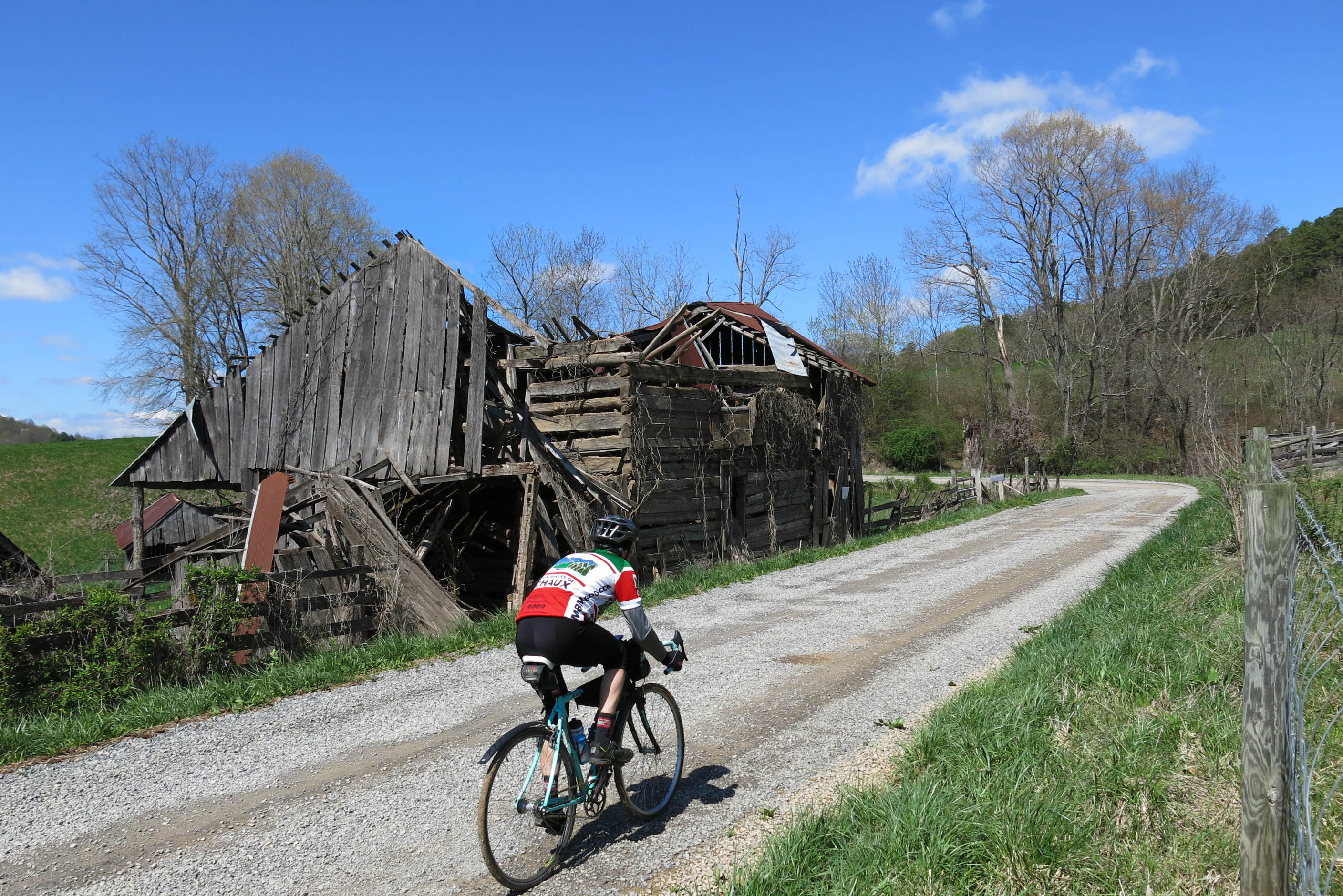
64/180 4/20/13 Bike 180 2013
2009-07-03 - Soccer Camp (40)
Topographic Map of N Wye Rd, Wytheville, VA, USA
Find elevation by address:

Places near N Wye Rd, Wytheville, VA, USA:
264 N Wye Rd
250 Lakeview Dr
1355 W Ridge Rd
610 S 4th St
485 W Reservoir St
Wythe County
Wytheville
268 W Main St
590 W Ridge Rd
Wohlfahrt Haus Dinner Theatre
3040 Old Stage Rd
685 Rose Hill Rd
Queens Knob Road
Queens Knob Road
East Wytheville
VA-, Wytheville, VA, USA
3919 W Lee Hwy
2895 Fairview Pkwy
167 Mountaintop Ln
167 Mountaintop Ln
Recent Searches:
- Elevation of Felindre, Swansea SA5 7LU, UK
- Elevation of Leyte Industrial Development Estate, Isabel, Leyte, Philippines
- Elevation of W Granada St, Tampa, FL, USA
- Elevation of Pykes Down, Ivybridge PL21 0BY, UK
- Elevation of Jalan Senandin, Lutong, Miri, Sarawak, Malaysia
- Elevation of Bilohirs'k
- Elevation of 30 Oak Lawn Dr, Barkhamsted, CT, USA
- Elevation of Luther Road, Luther Rd, Auburn, CA, USA
- Elevation of Unnamed Road, Respublika Severnaya Osetiya — Alaniya, Russia
- Elevation of Verkhny Fiagdon, North Ossetia–Alania Republic, Russia