Elevation of N Wilson Way, Stockton, CA, USA
Location: United States > California > San Joaquin County > Stockton > Park >
Longitude: -121.27212
Latitude: 37.964006
Elevation: 6m / 20feet
Barometric Pressure: 101KPa
Elevation Map:
Satellite Map:
Related Photos:
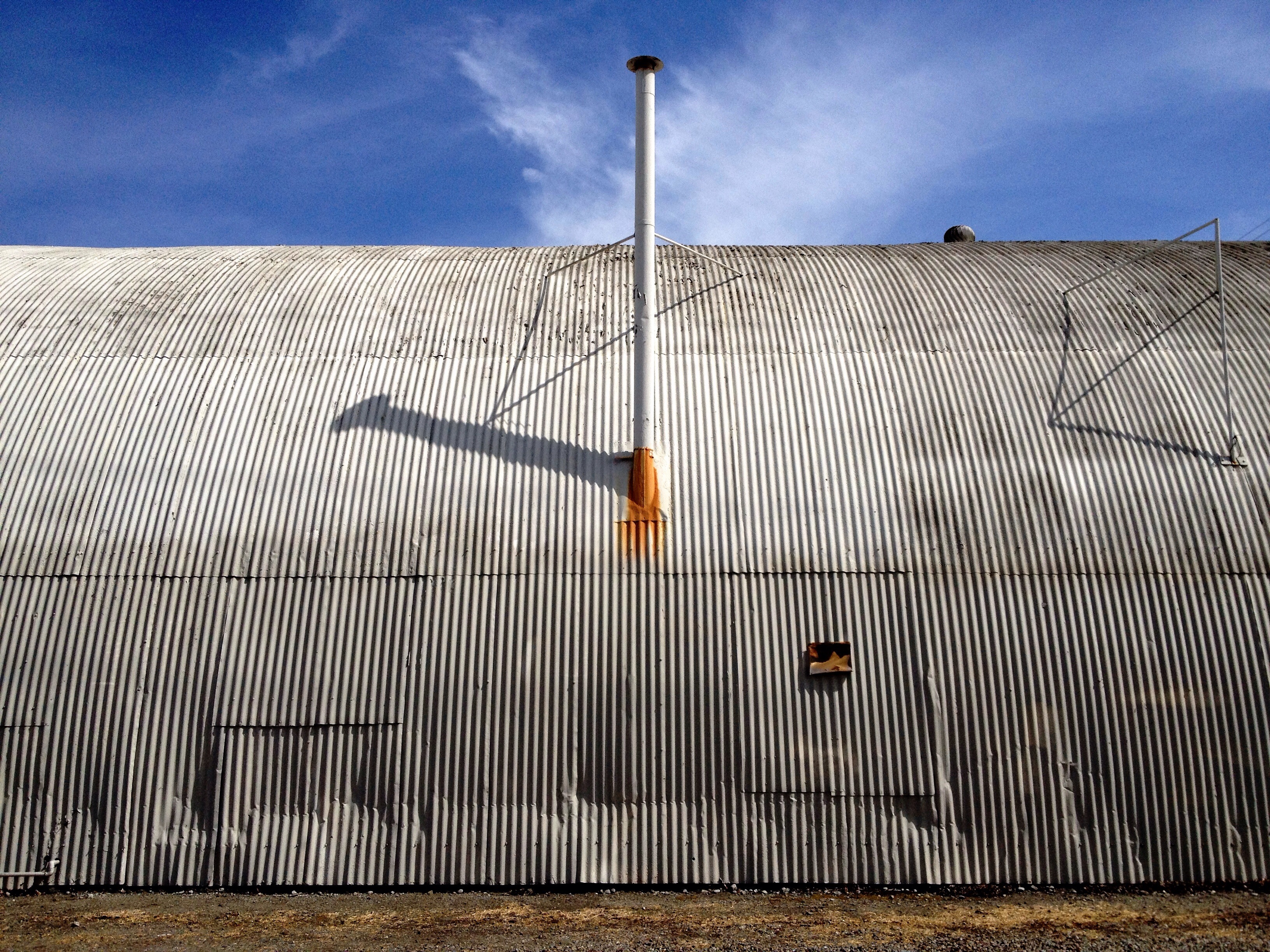
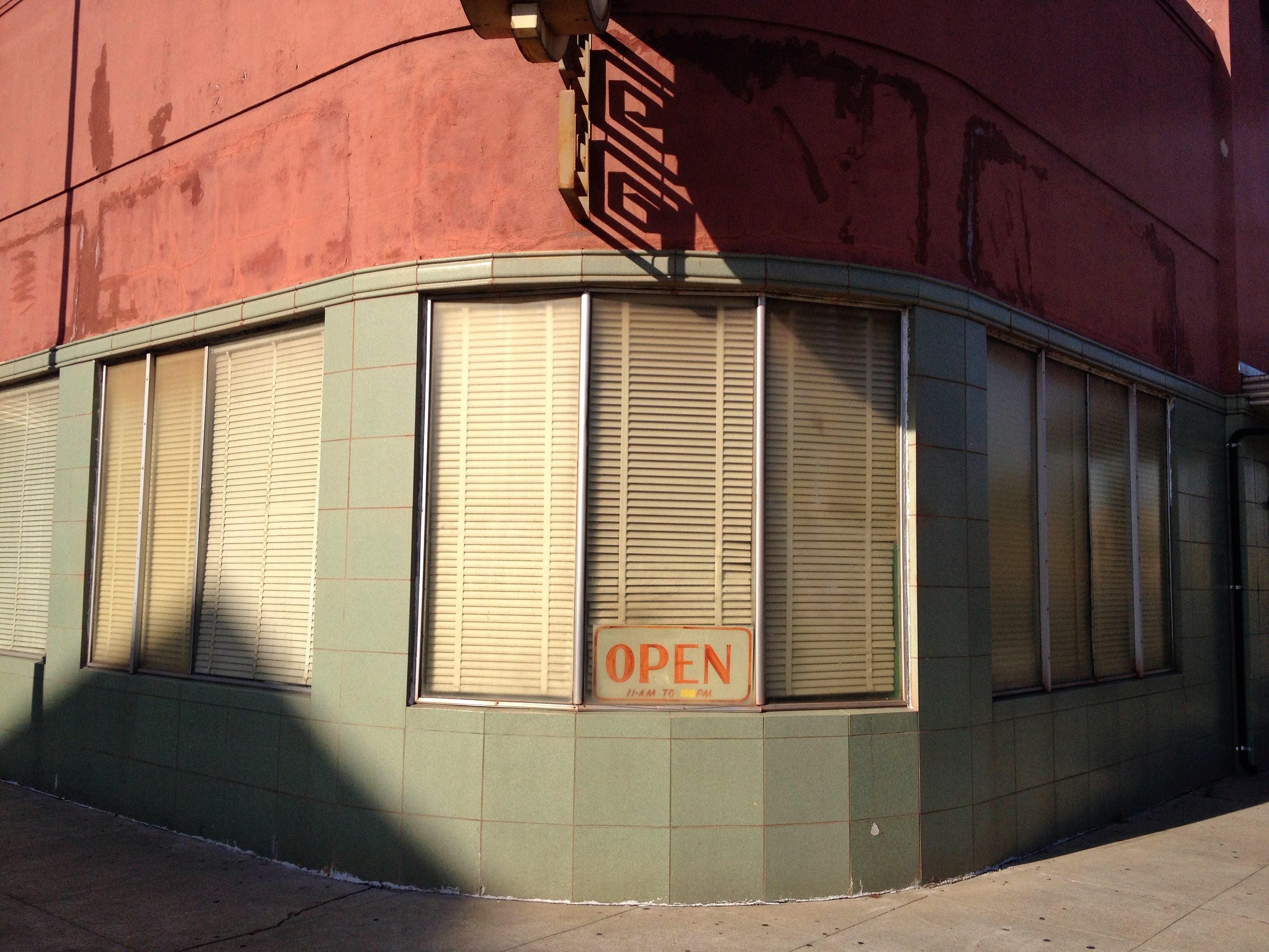
Poke in the Eye
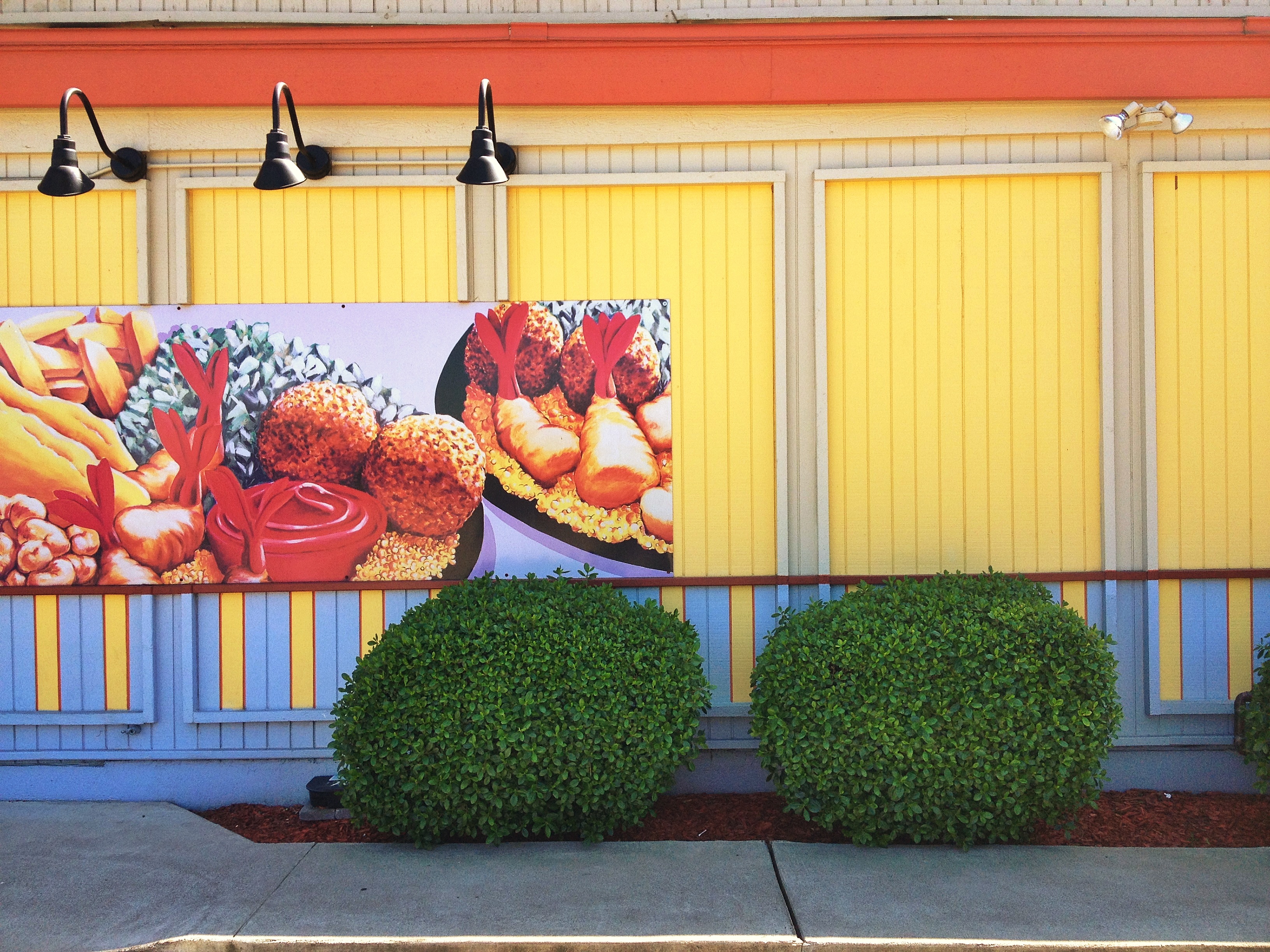
Long Gone Silver's

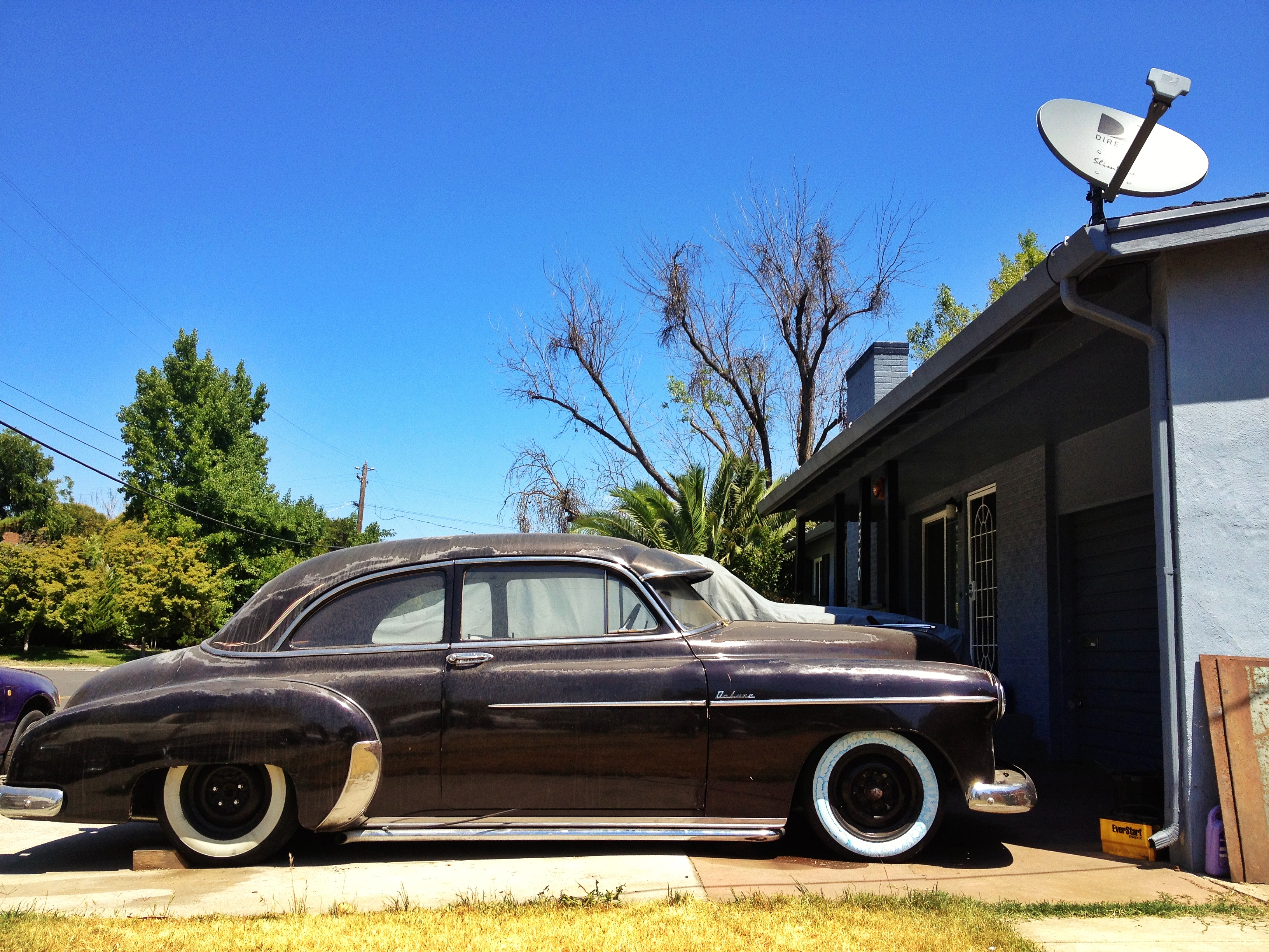
Back In Black
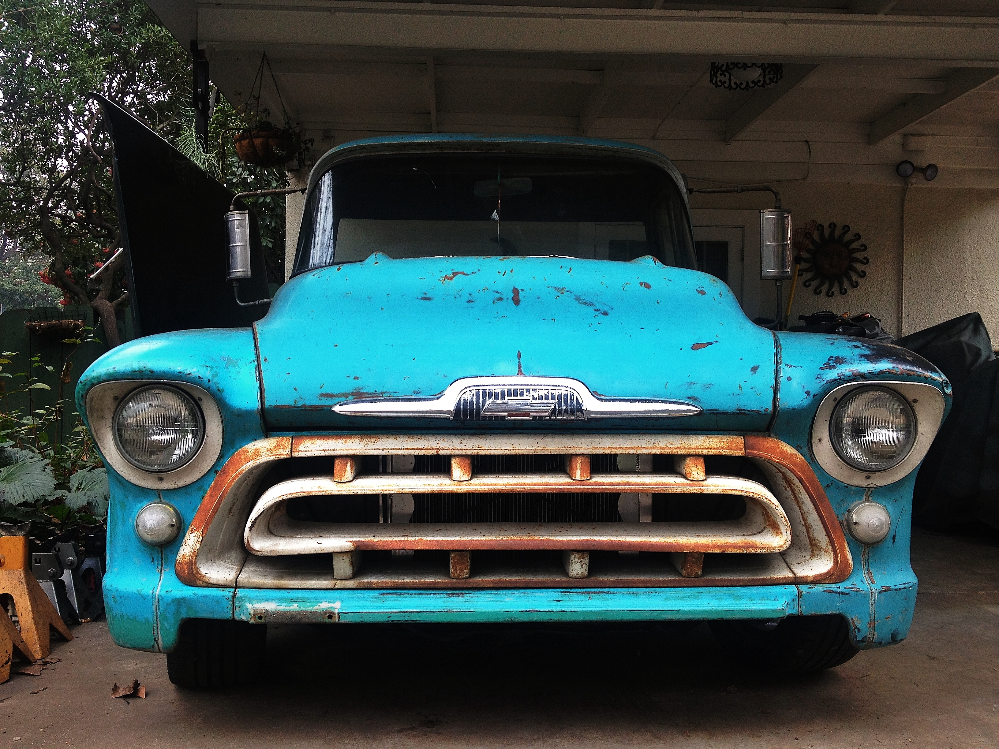
DeLuxe Reception
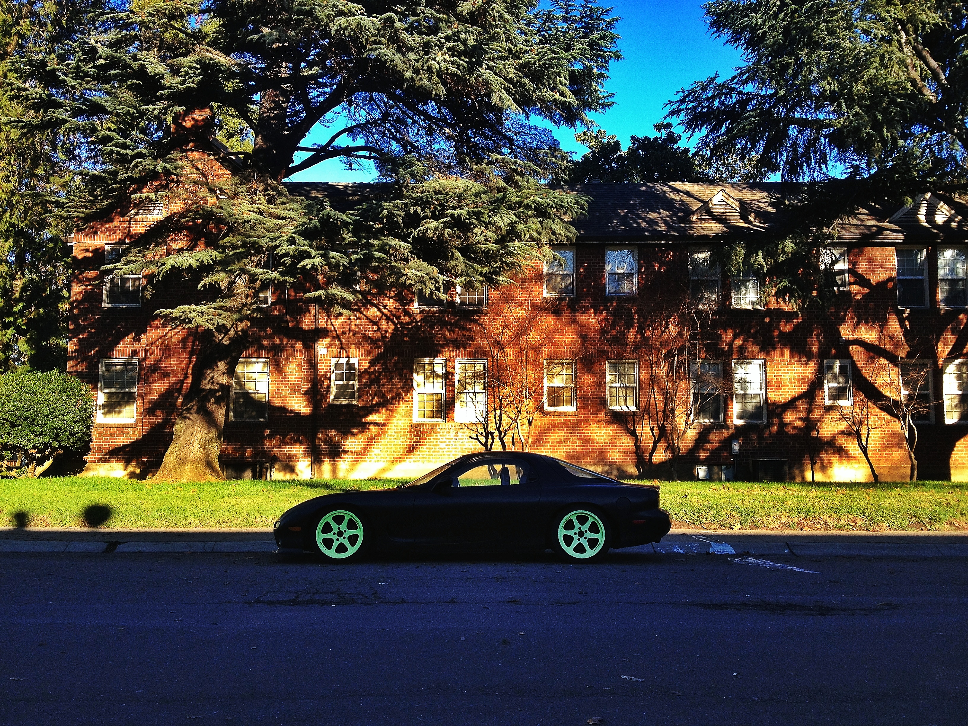
Blue Meanie
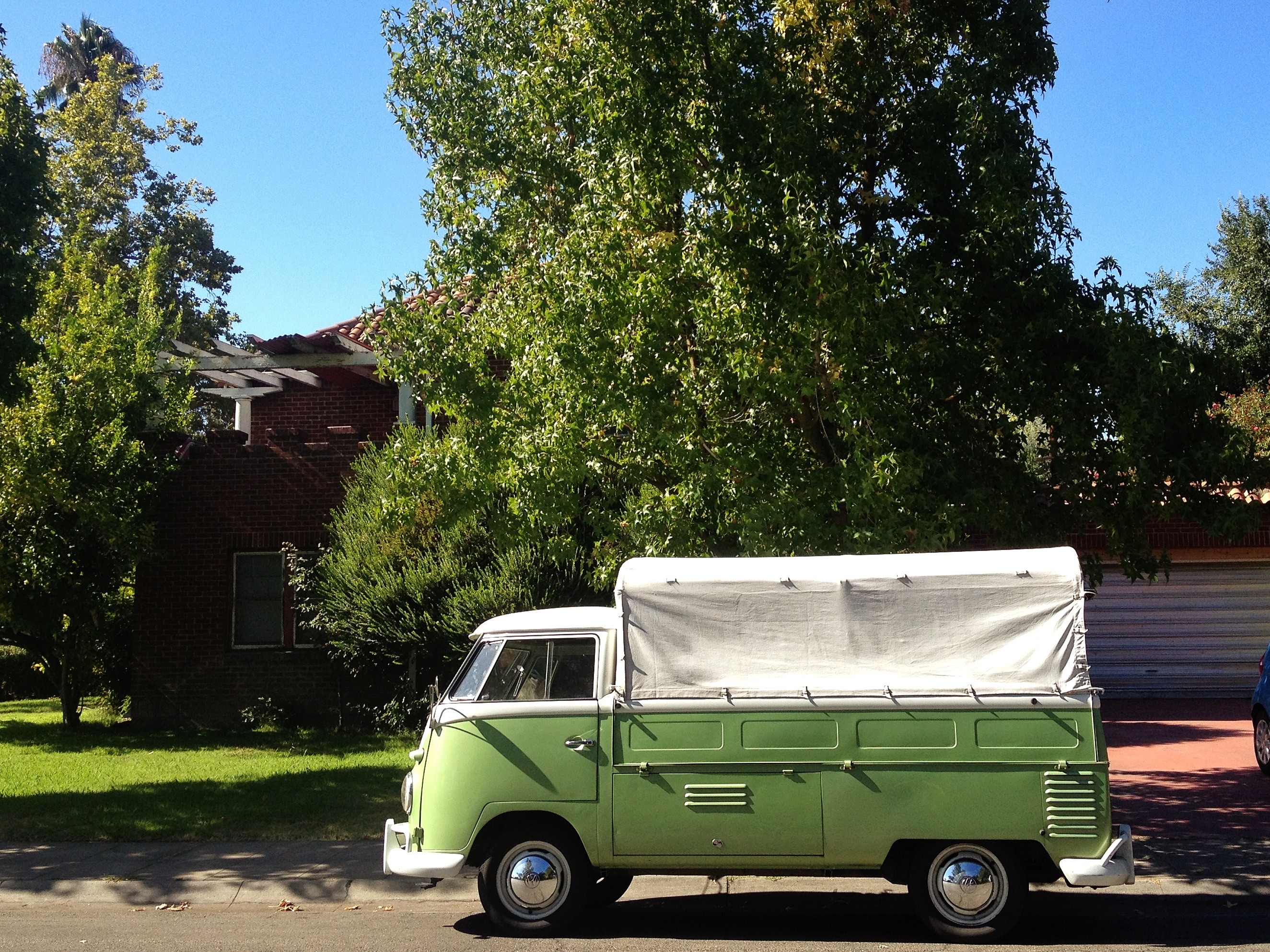
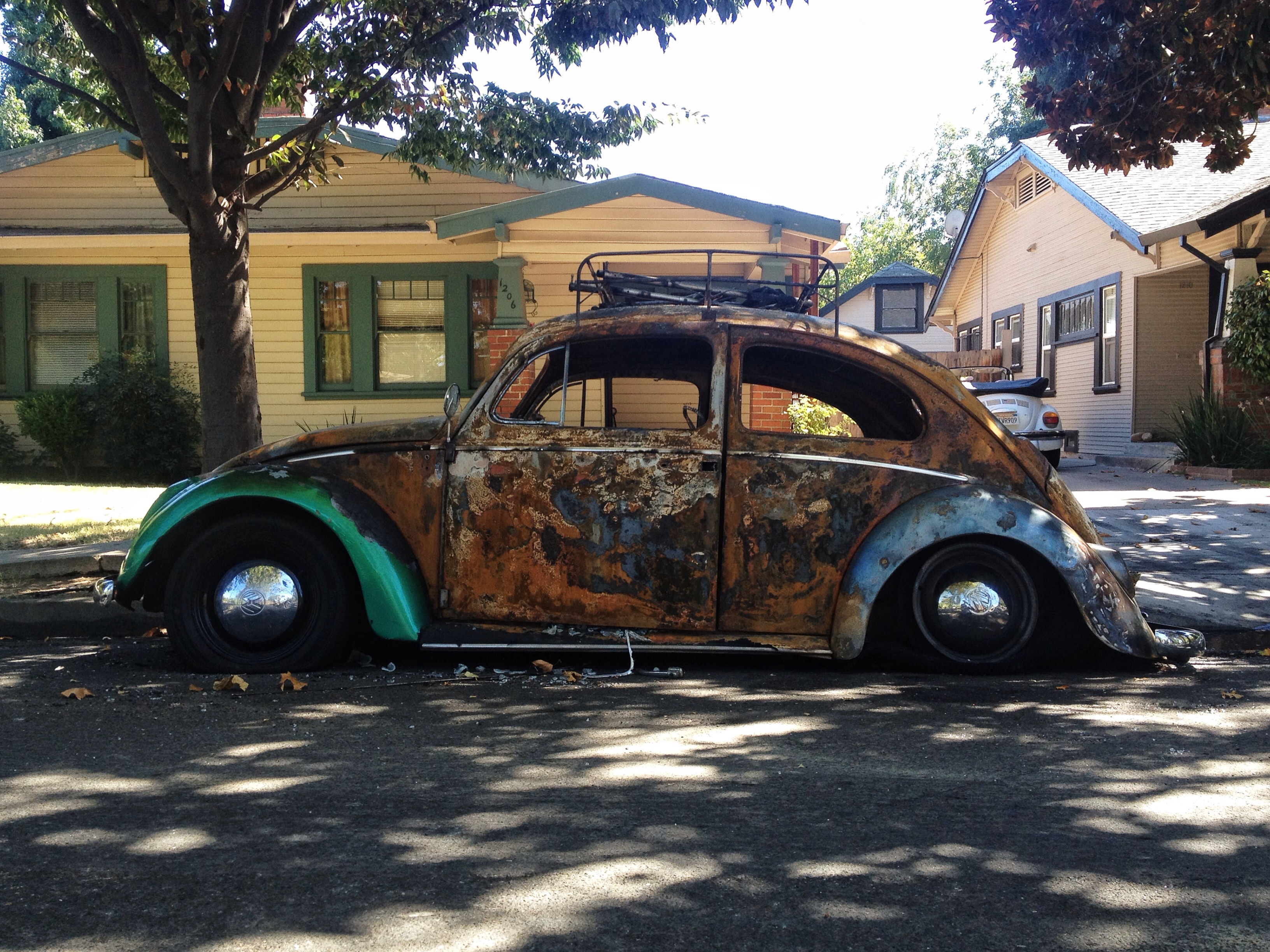
Green Machine
Haute Wheels
Is The Word
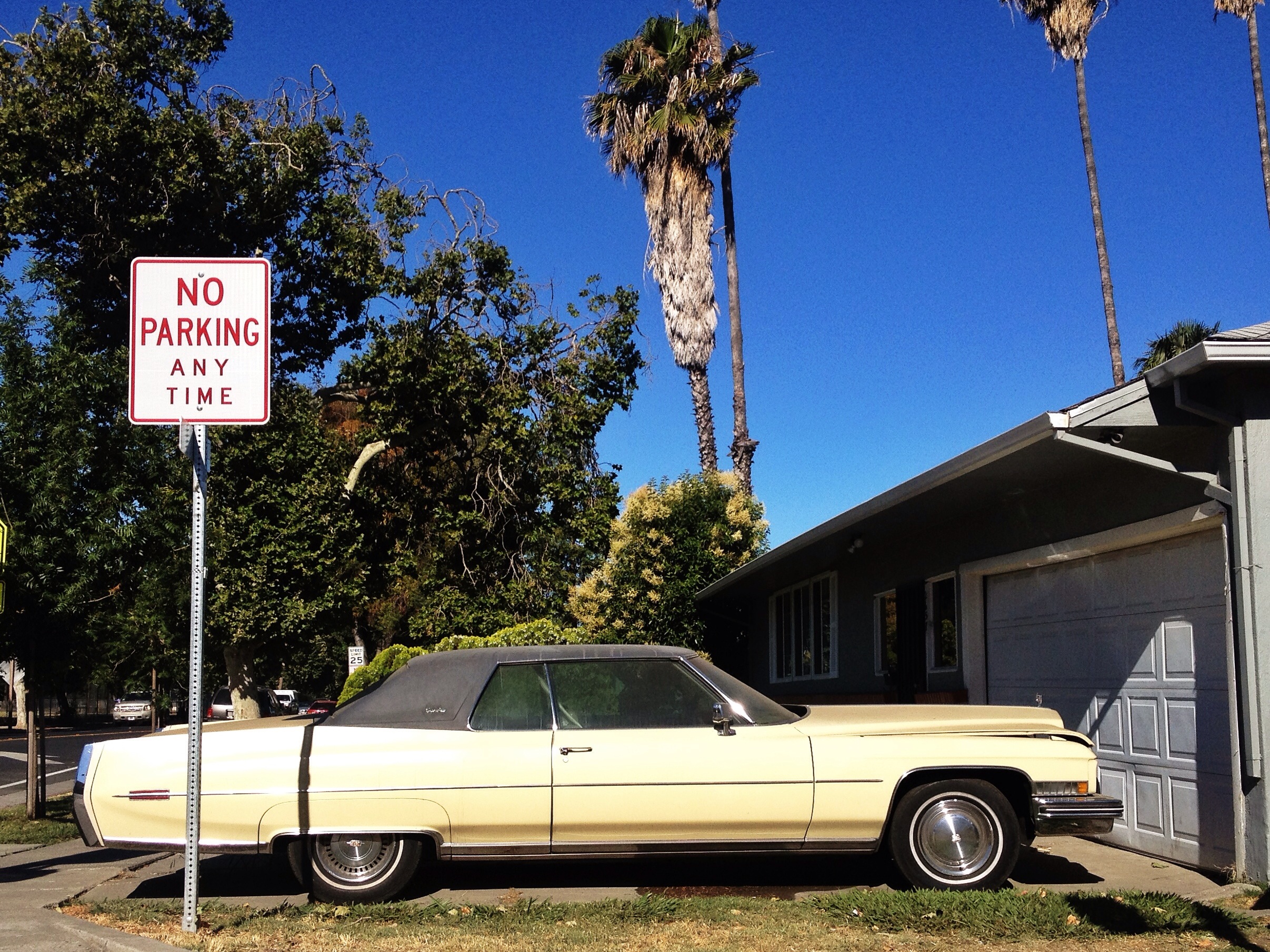
No Parking
1948 Great Pumpkin
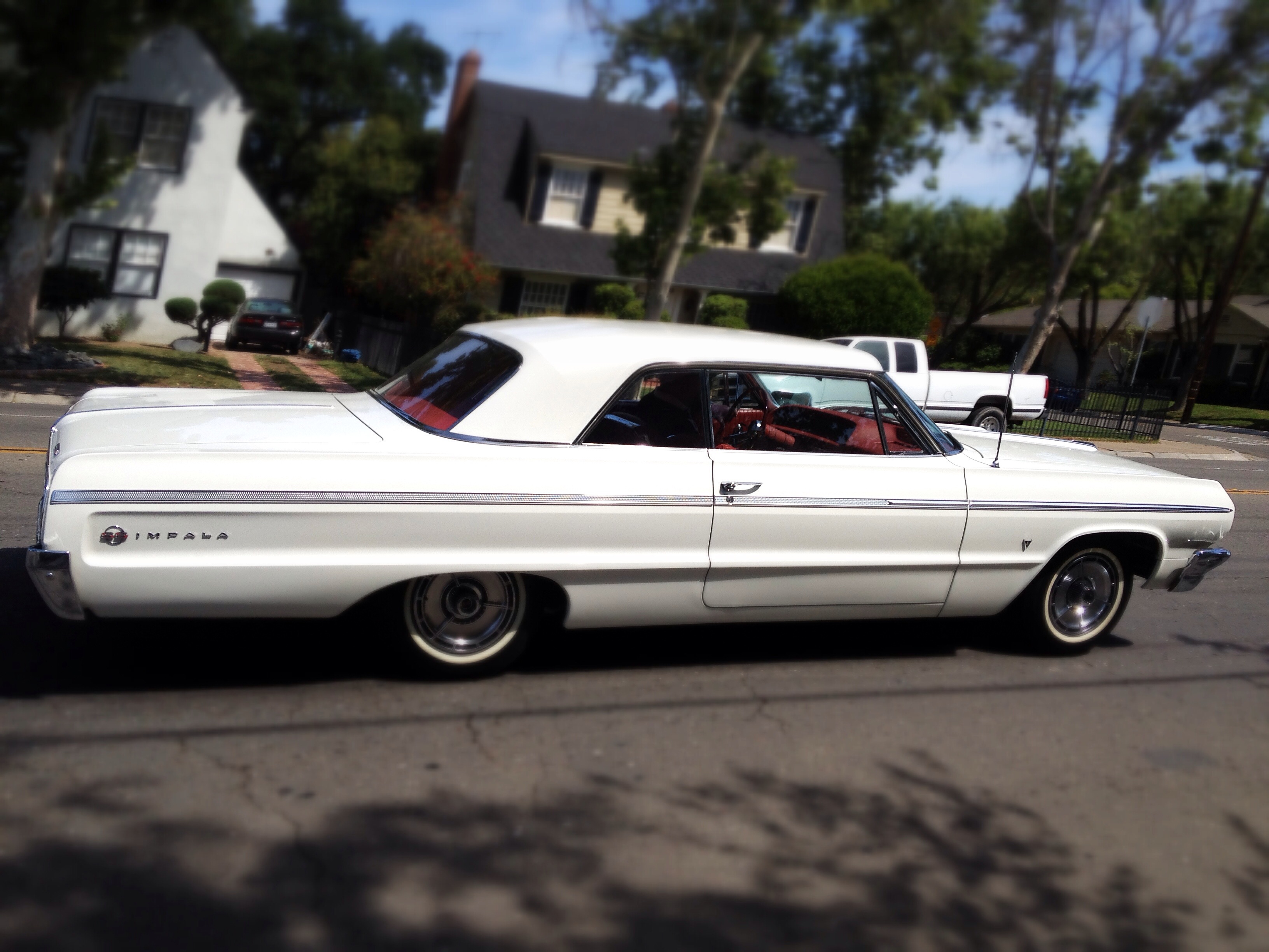
Great Gatsby

Googie Court

Got Mario?
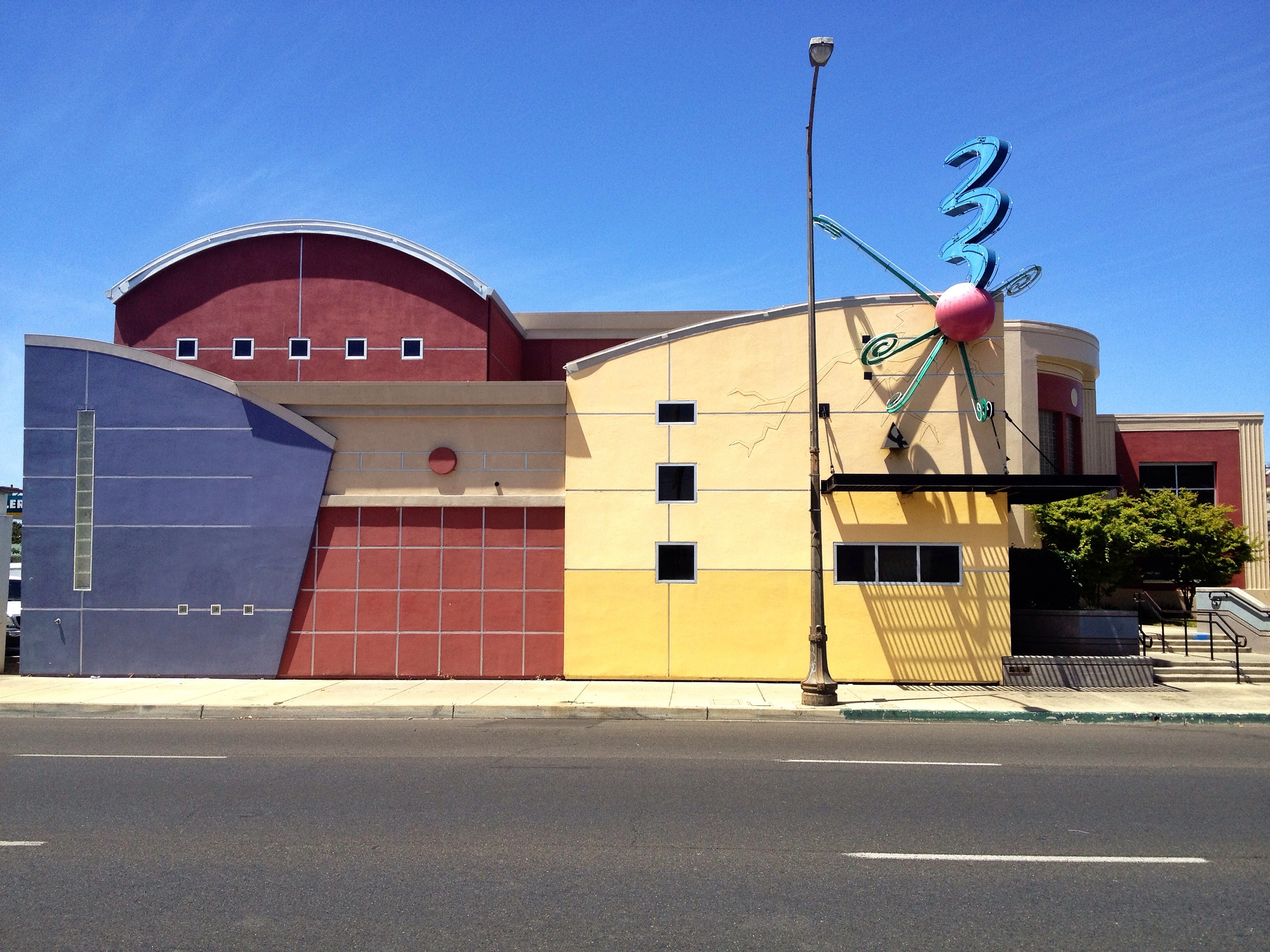
Lightning Strike
Tow -- Awa
Mach Speed
Heartbeat of America
Neutral Zone
Urban Slice
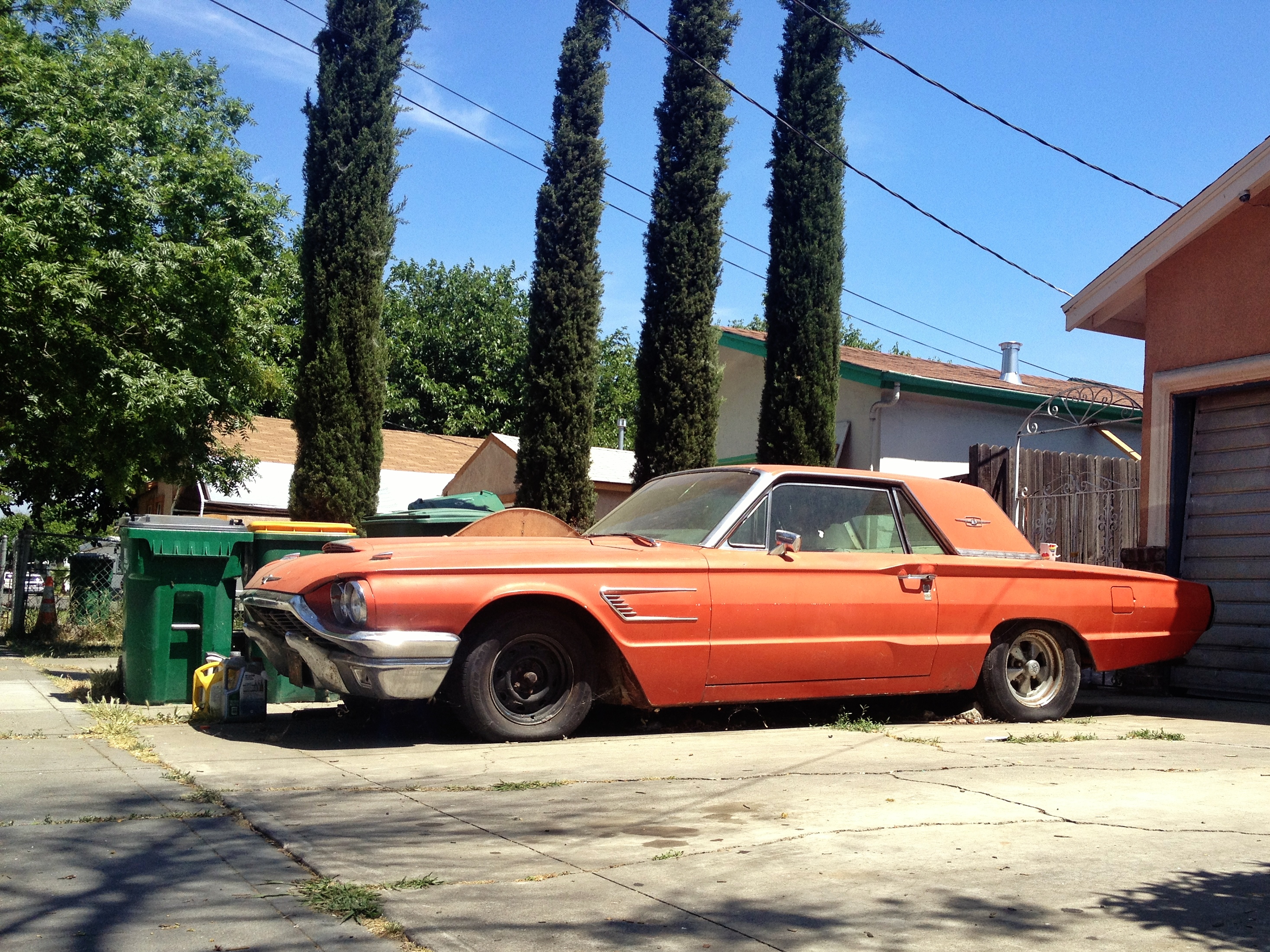
Fire Bug
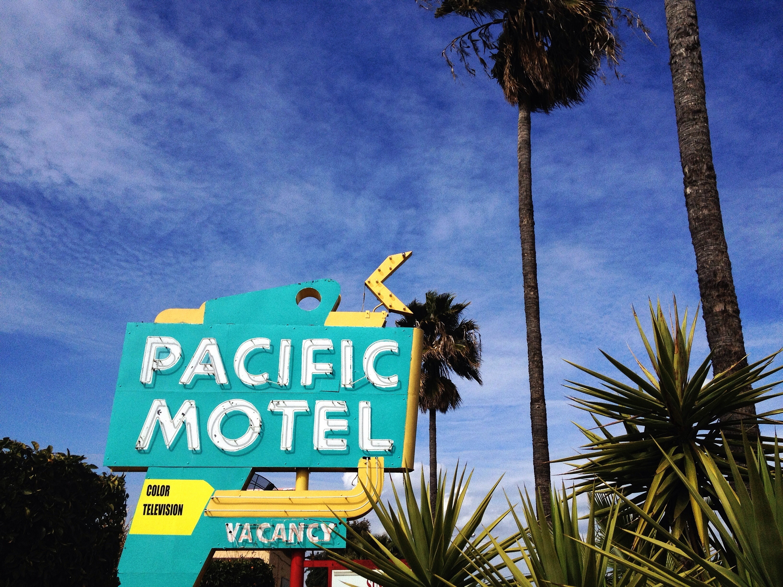
Pacific Blues
Living The Dream
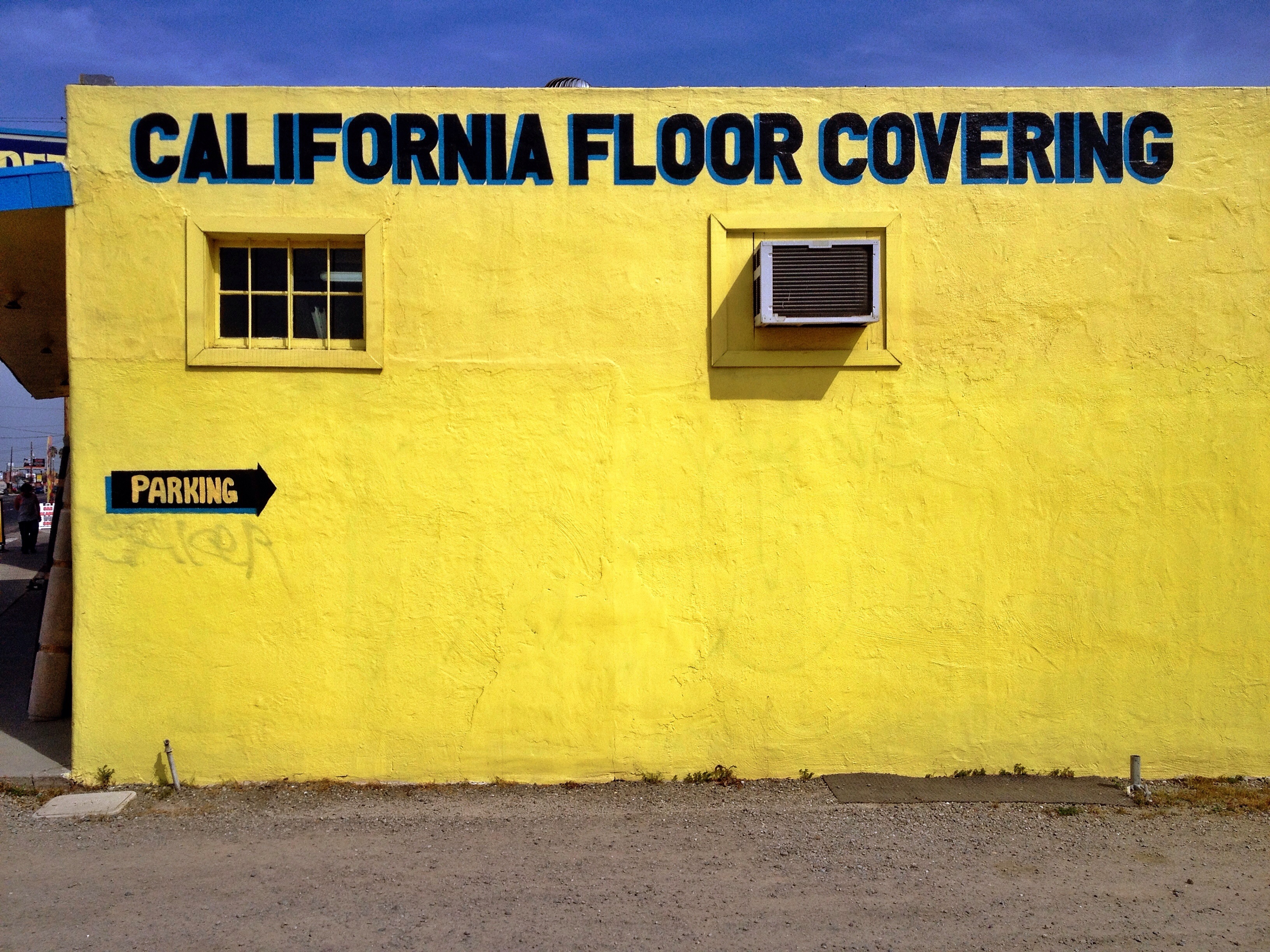
Covered in Gold
Buildings Just Wanna Have Fun
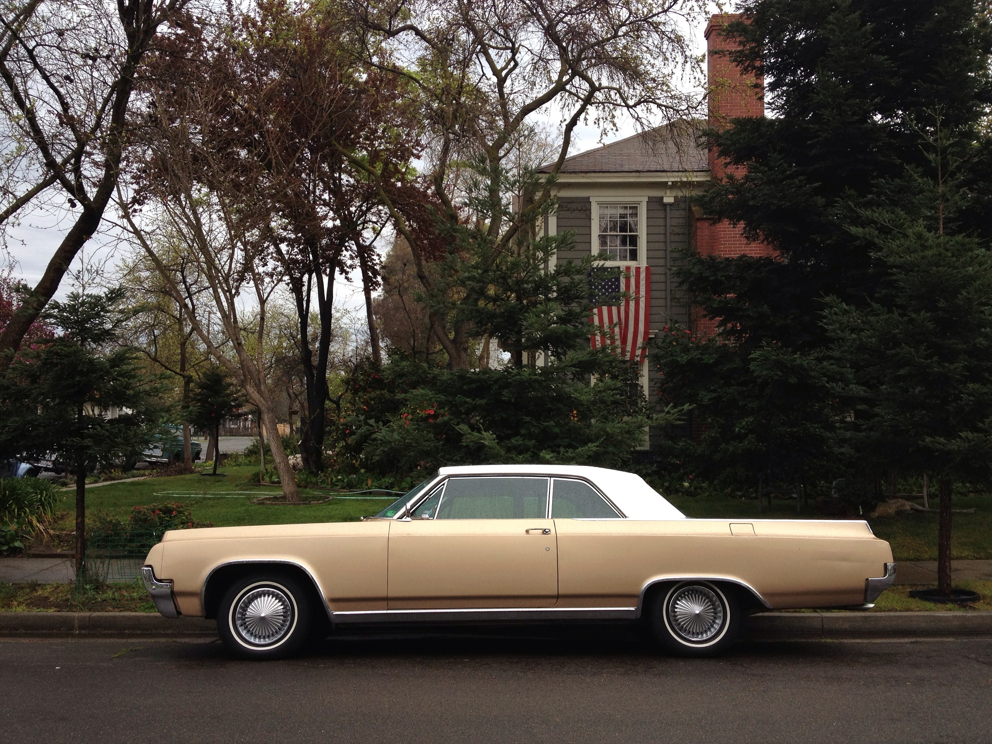
Not Your Father's Oldsmobile

Made in the Shade
Drive-By
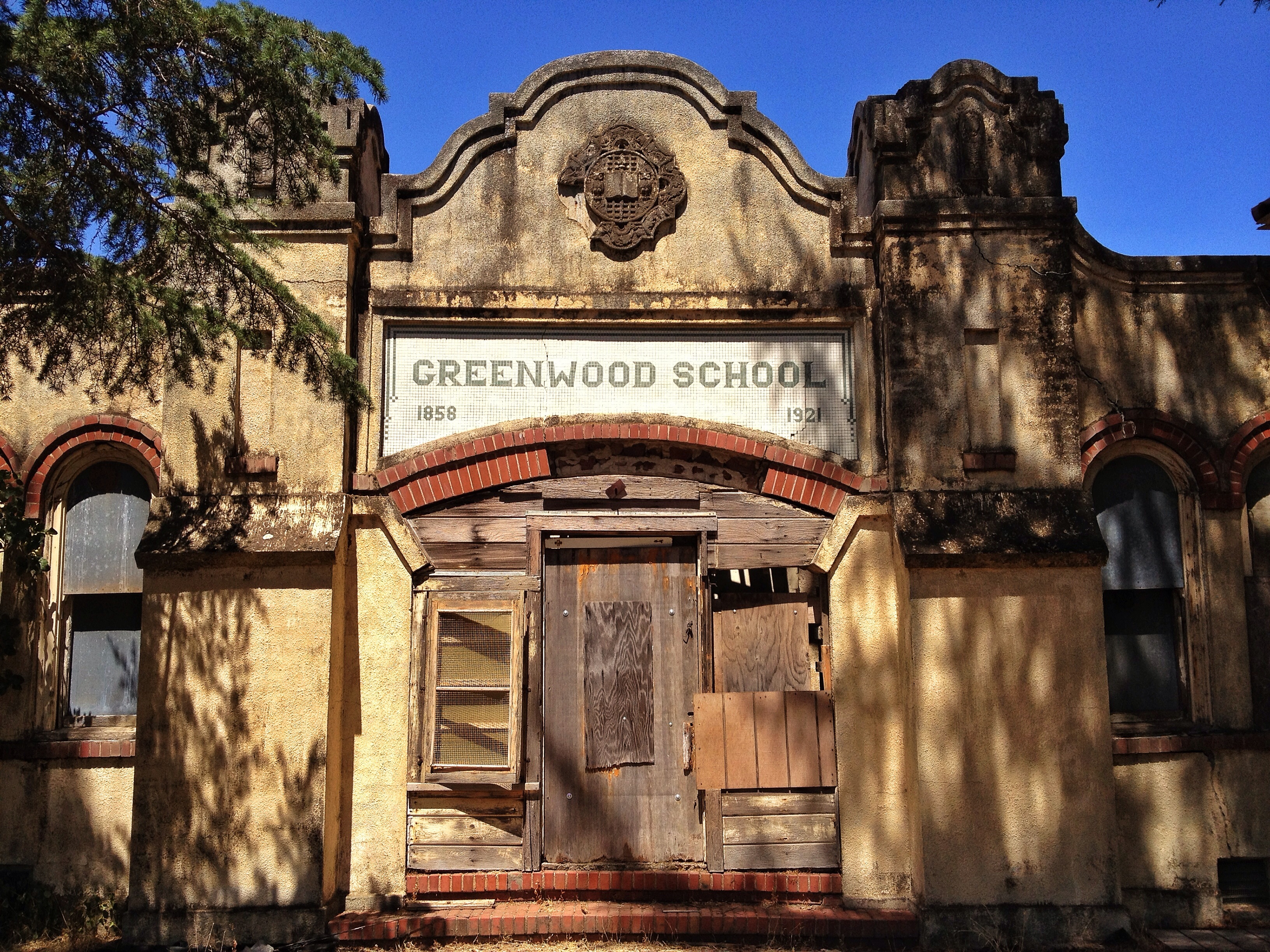
School's Out
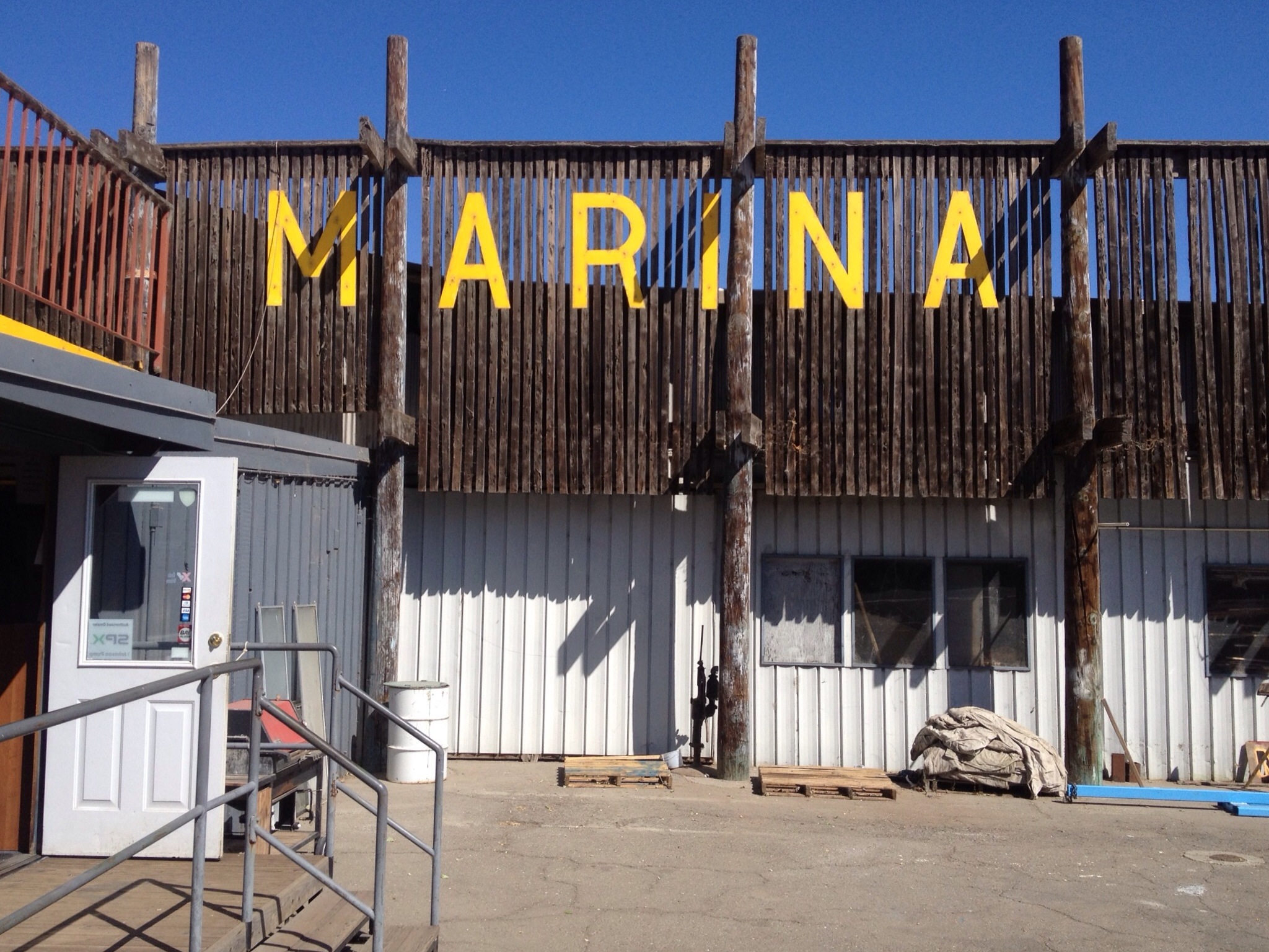
Safe Harbor
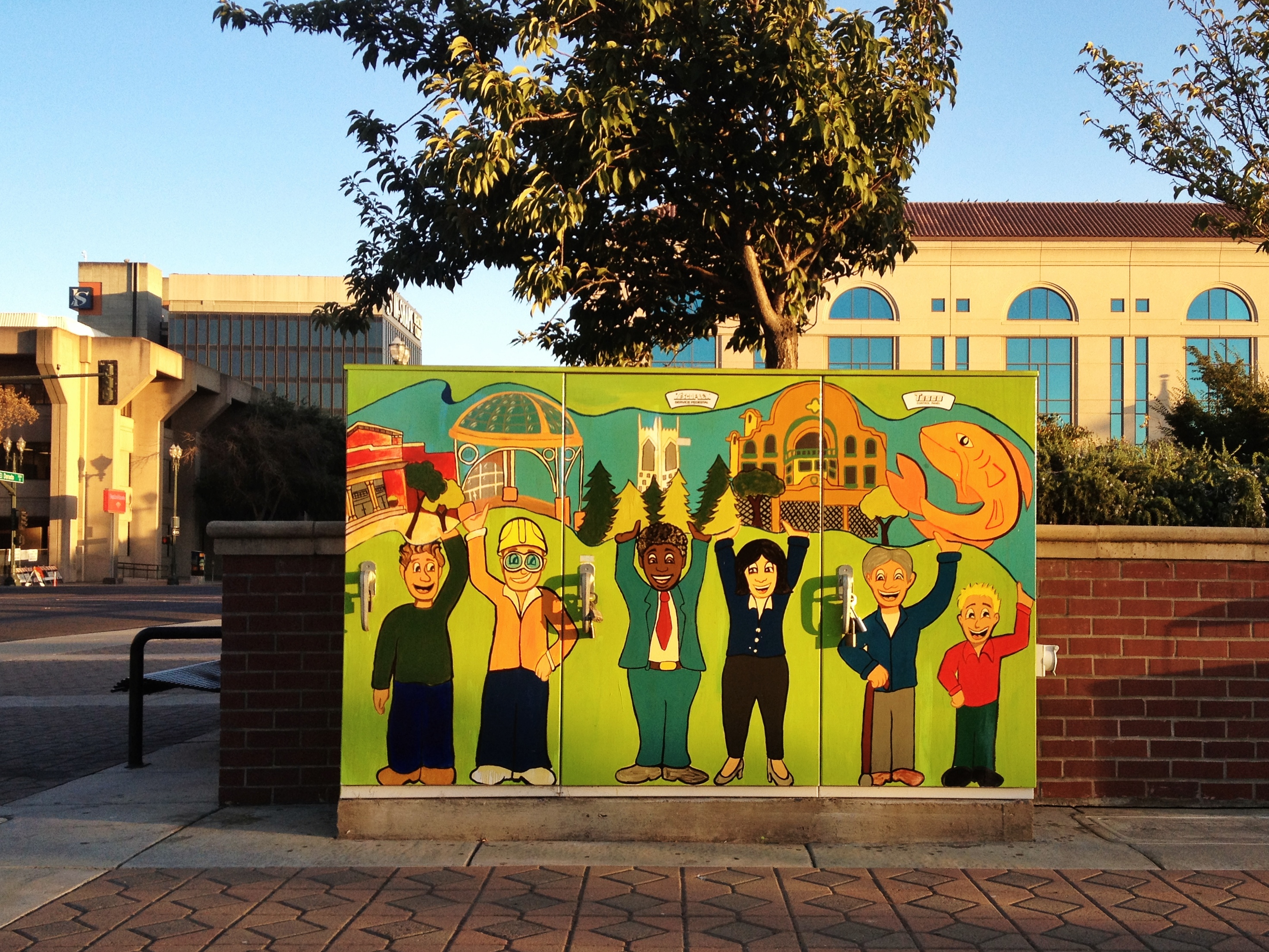
Hands in the Air
Round Town
Topographic Map of N Wilson Way, Stockton, CA, USA
Find elevation by address:

Places near N Wilson Way, Stockton, CA, USA:
702 N Aurora St
Civic Center
E Hazelton Ave, Stockton, CA, USA
820 Aurora St S
Saint Mary's Church
401 N Golden Gate Ave
1658 S Airport Way
S B St, Stockton, CA, USA
Anthony Ave, Stockton, CA, USA
3437 S Airport Way
Park
2018 Zephyr St
248 Industrial Dr
Industrial Dr, Stockton, CA, USA
4725 S B St
Carpenter Rd, Stockton, CA, USA
Ash St, French Camp, CA, USA
French Camp
8727 S Priest Rd
1091 Fisk Rd
Recent Searches:
- Elevation of Lampiasi St, Sarasota, FL, USA
- Elevation of Elwyn Dr, Roanoke Rapids, NC, USA
- Elevation of Congressional Dr, Stevensville, MD, USA
- Elevation of Bellview Rd, McLean, VA, USA
- Elevation of Stage Island Rd, Chatham, MA, USA
- Elevation of Shibuya Scramble Crossing, 21 Udagawacho, Shibuya City, Tokyo -, Japan
- Elevation of Jadagoniai, Kaunas District Municipality, Lithuania
- Elevation of Pagonija rock, Kranto 7-oji g. 8"N, Kaunas, Lithuania
- Elevation of Co Rd 87, Jamestown, CO, USA
- Elevation of Tenjo, Cundinamarca, Colombia