Elevation of N Van Dyne Rd, Van Dyne, WI, USA
Location: United States > Wisconsin > Fond Du Lac County > Friendship > Van Dyne >
Longitude: -88.503665
Latitude: 43.887552
Elevation: 242m / 794feet
Barometric Pressure: 98KPa
Elevation Map:
Satellite Map:
Related Photos:
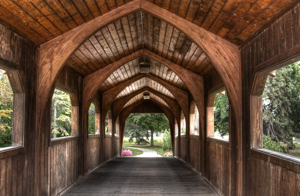
wood bridge_1899pmx_tonemapped

1941 North American XP-51 Mustang front view

WC 3015 - 9/15/1991

Miller's Bay frozen entrance

Long Way Down
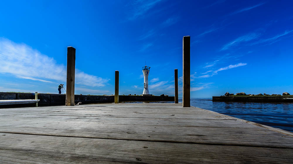
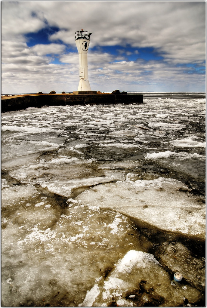
Fisherman's Road Lighthouse 2
view to left after entering the zoo

Twin Beech
Neighbor's farm

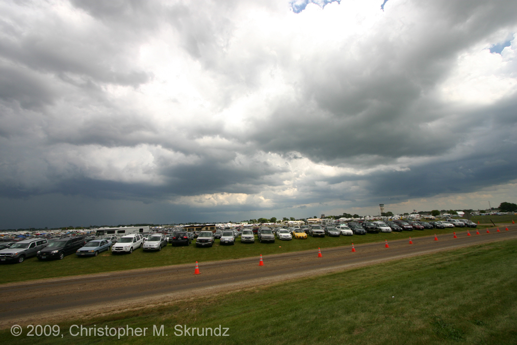
7-20-10 Storms
Long Way Up

Starry Night on Millers Bay

7-20-10 Storms

Watch Out!

7-20-10 Storms

7-20-10 Storms

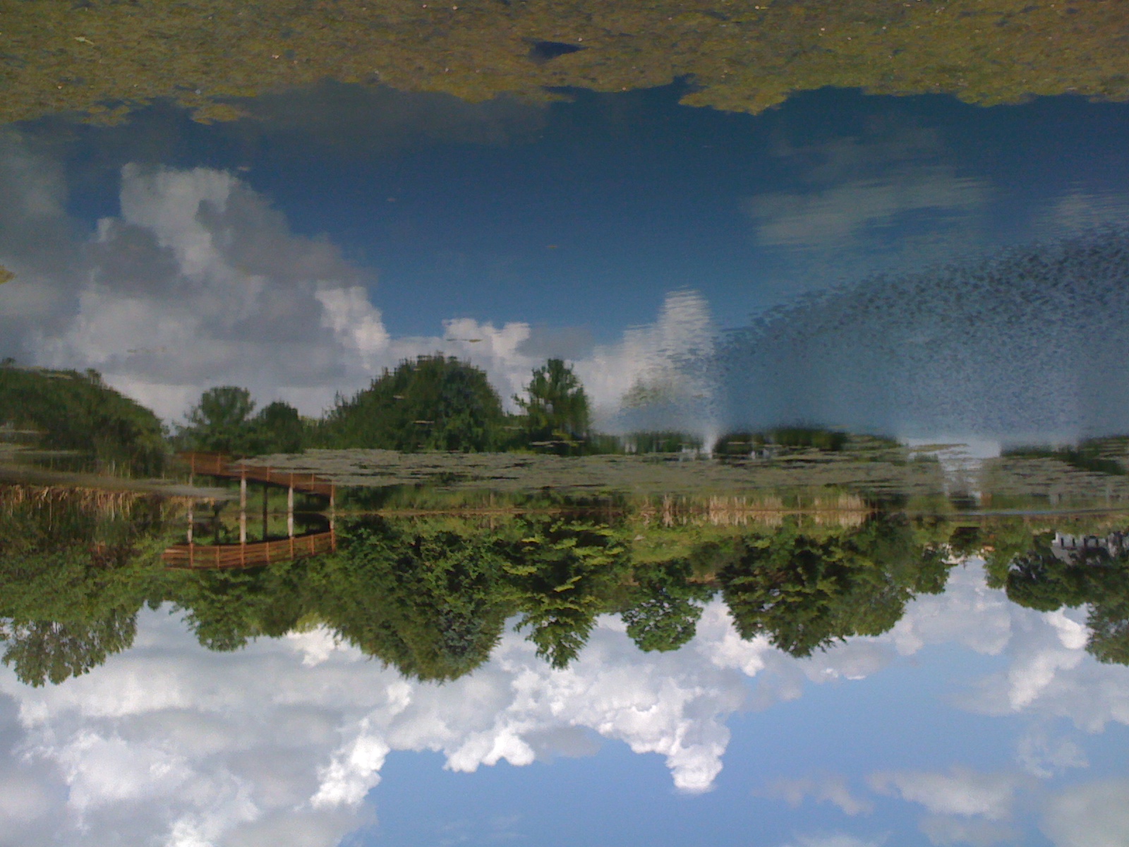
view through the bridge

Free FB Cover Photo!

Tail View I

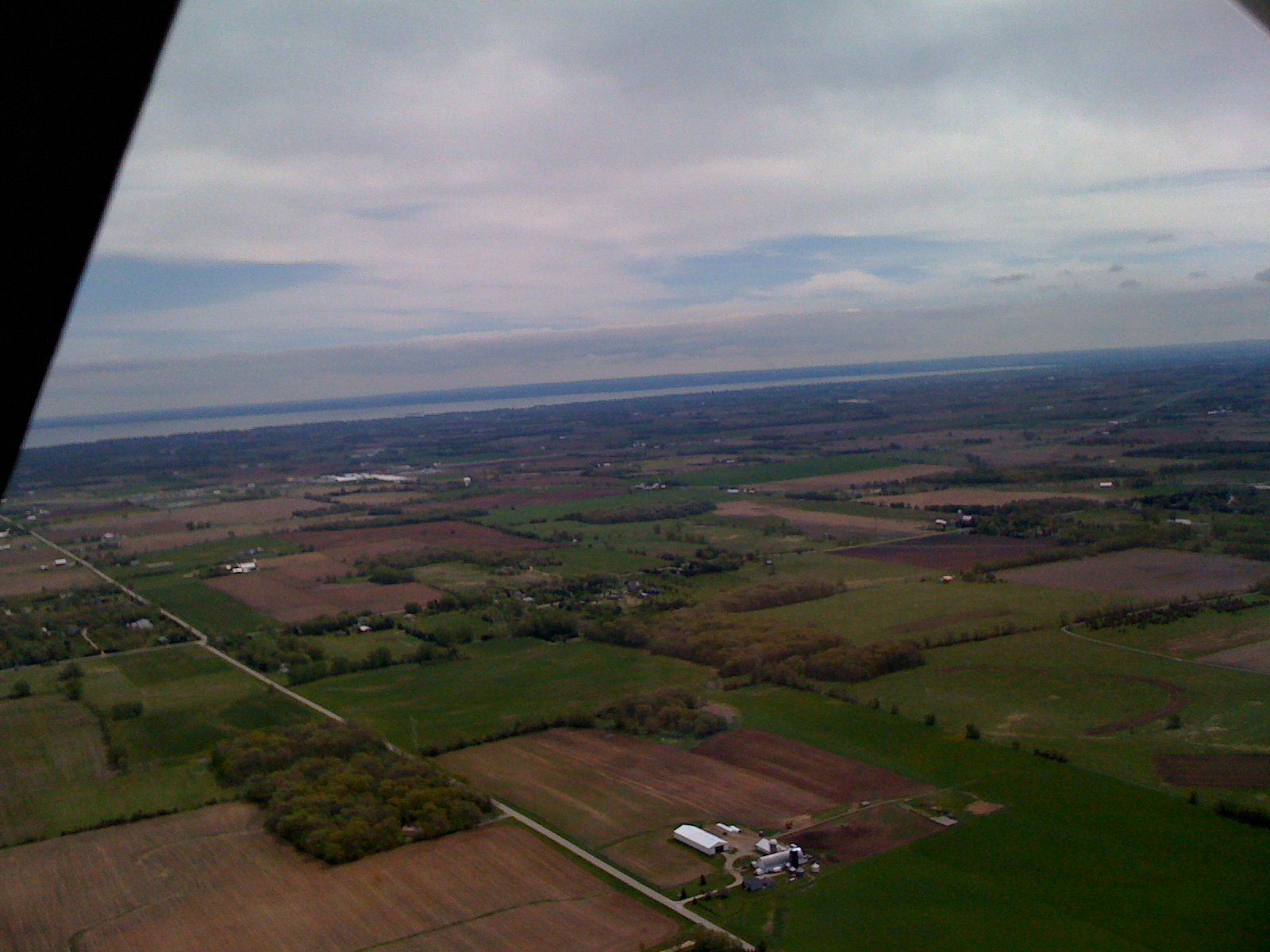
View to the south
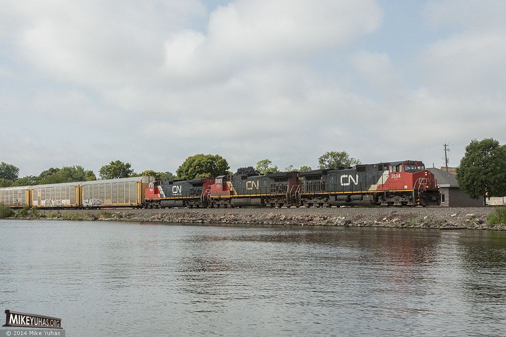
CN 5524
Wittman Field
Fox River

Awesome New Recycled Leaf Bug we just created! Only $10 #art #repurposed #recycled #lightbulb #bug #insect #wings #folklore #creation
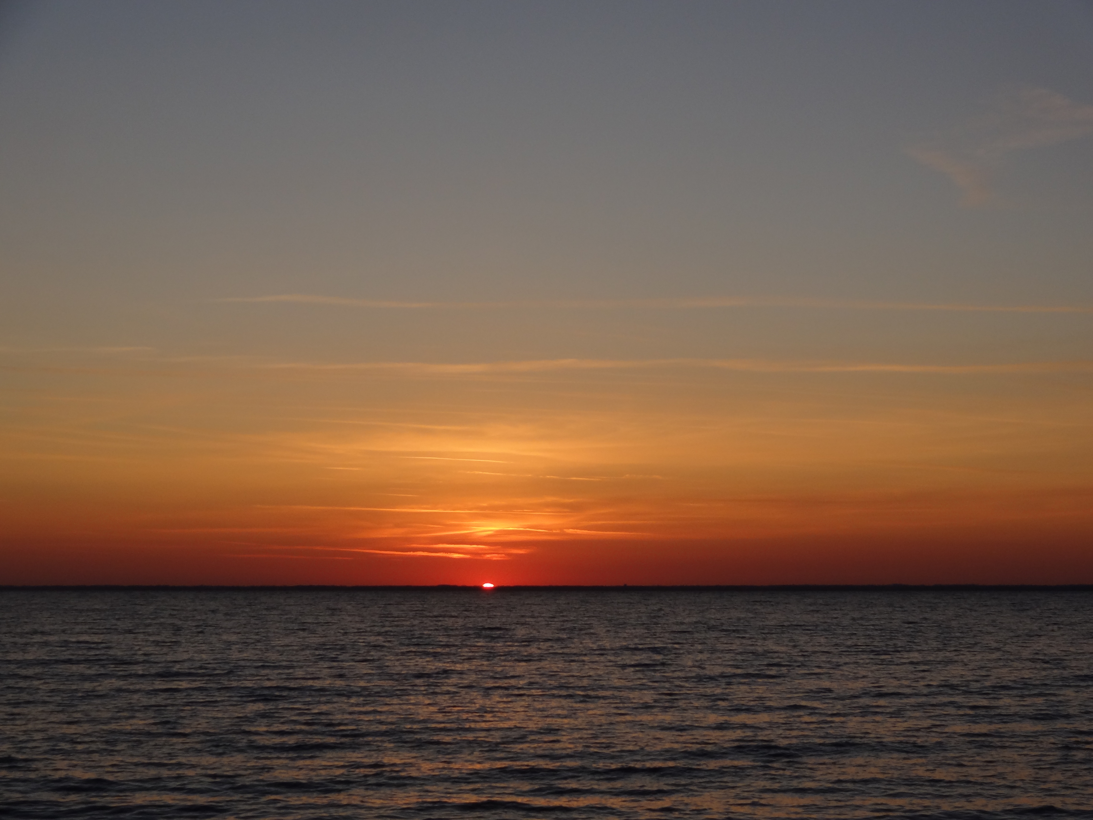
Sunset on Lake Winnebago
Edit Days of trip 366
7.27.12
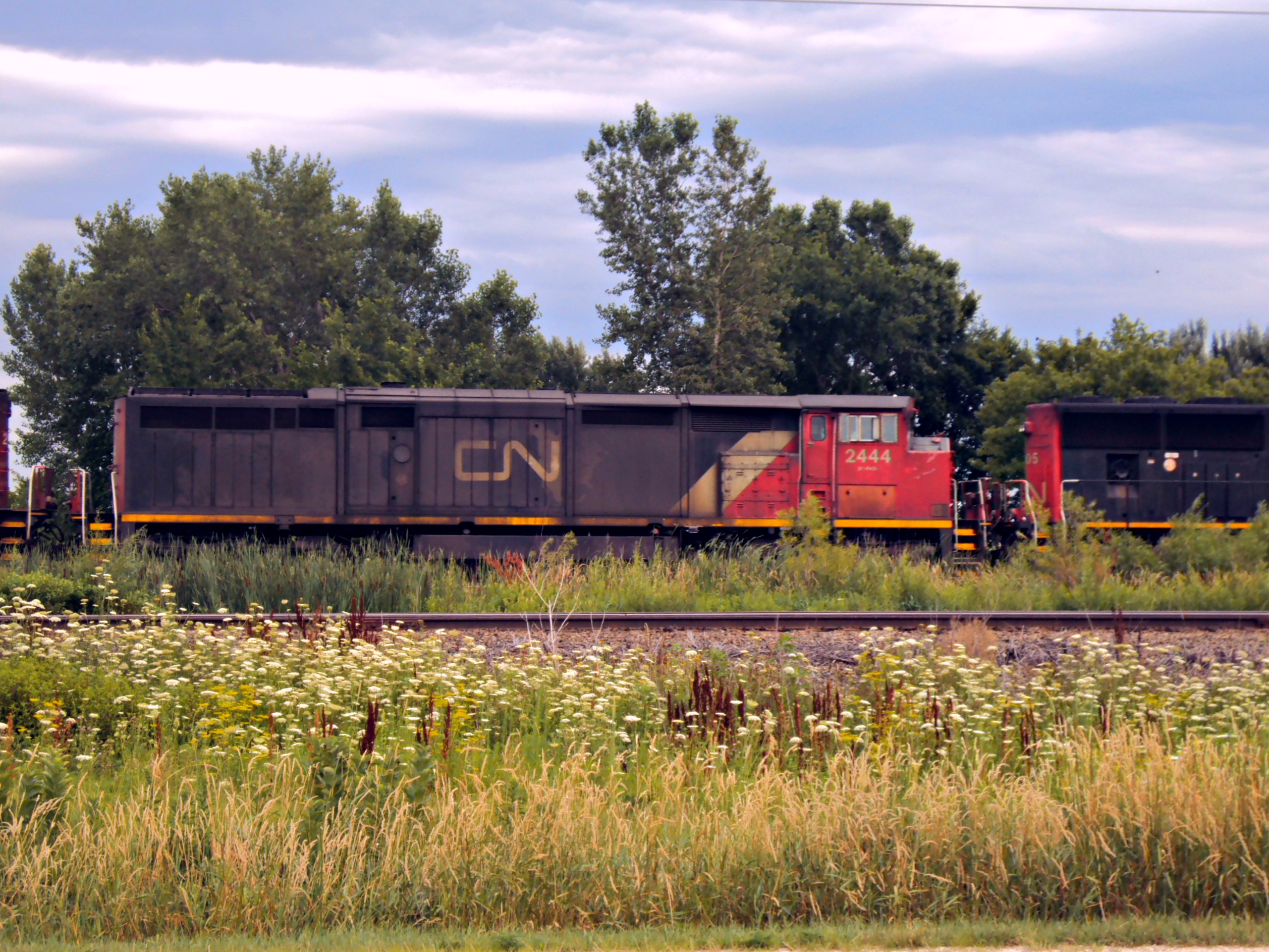
CN 2444
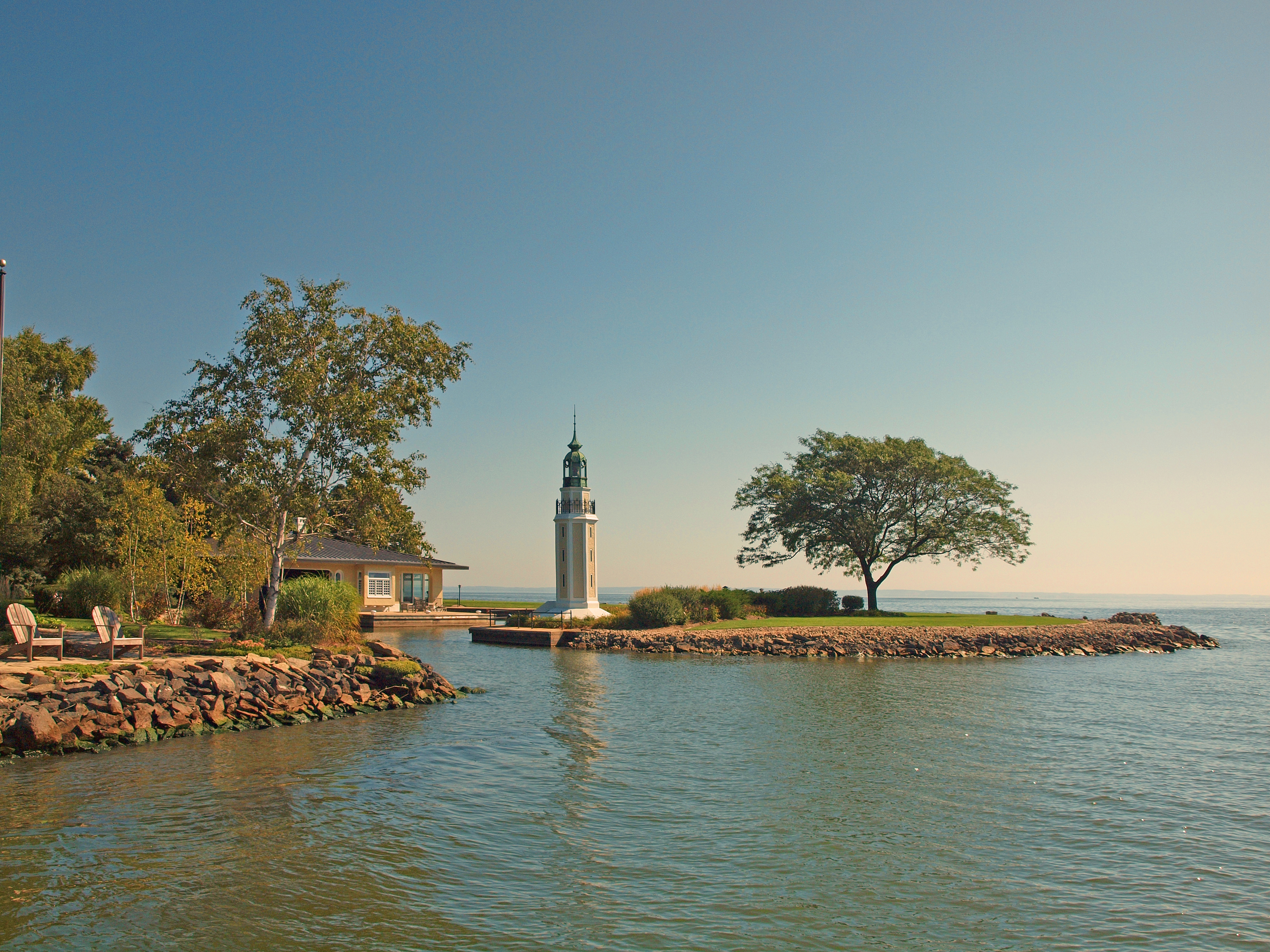
Bray's Point (Rockwell) Lighthouse
Clouds at Oshkosh
@fdlreporter #moon

"Up in seven" 2
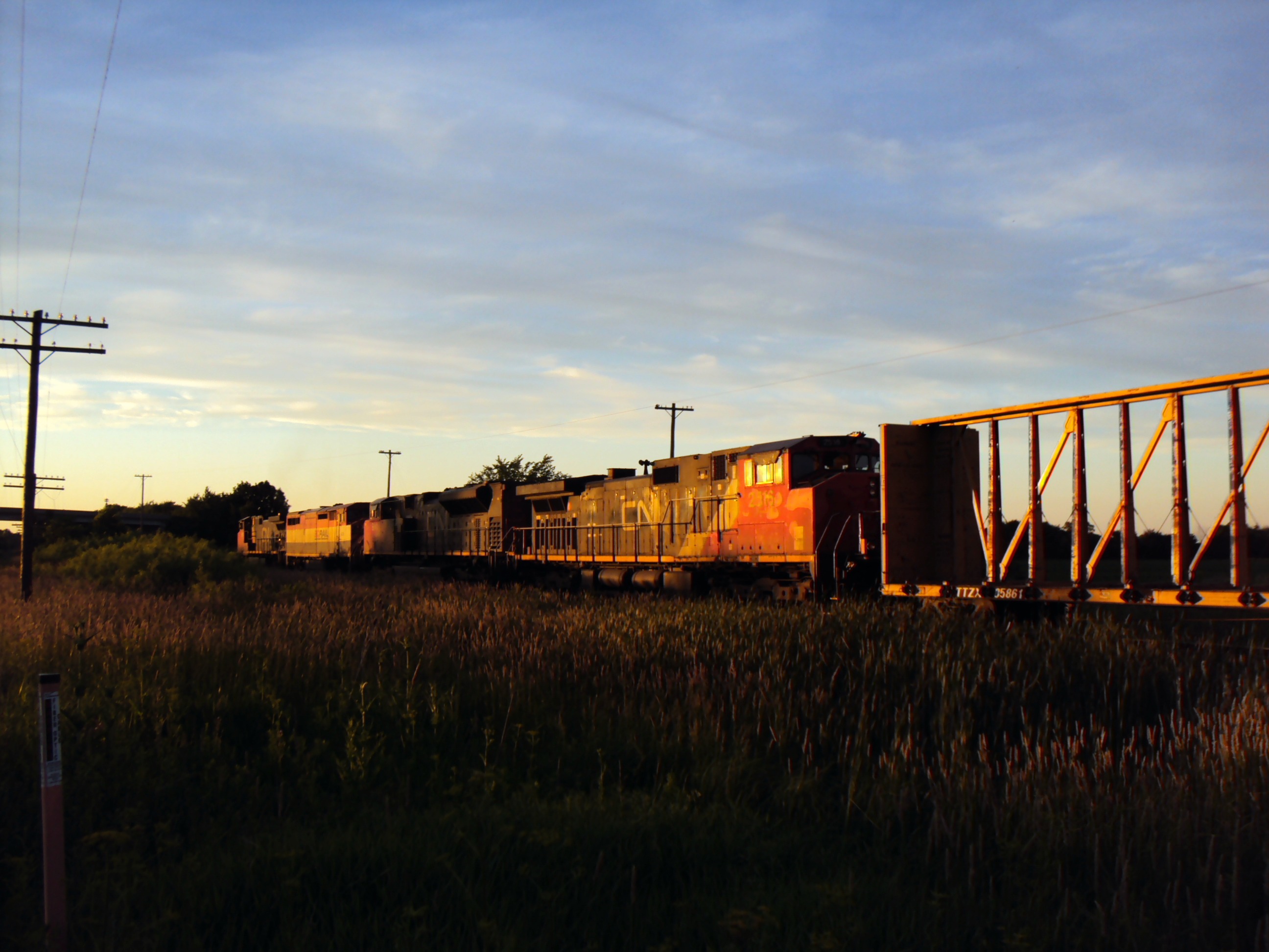
CN 2516

7.27.12
I lost my can of Coke
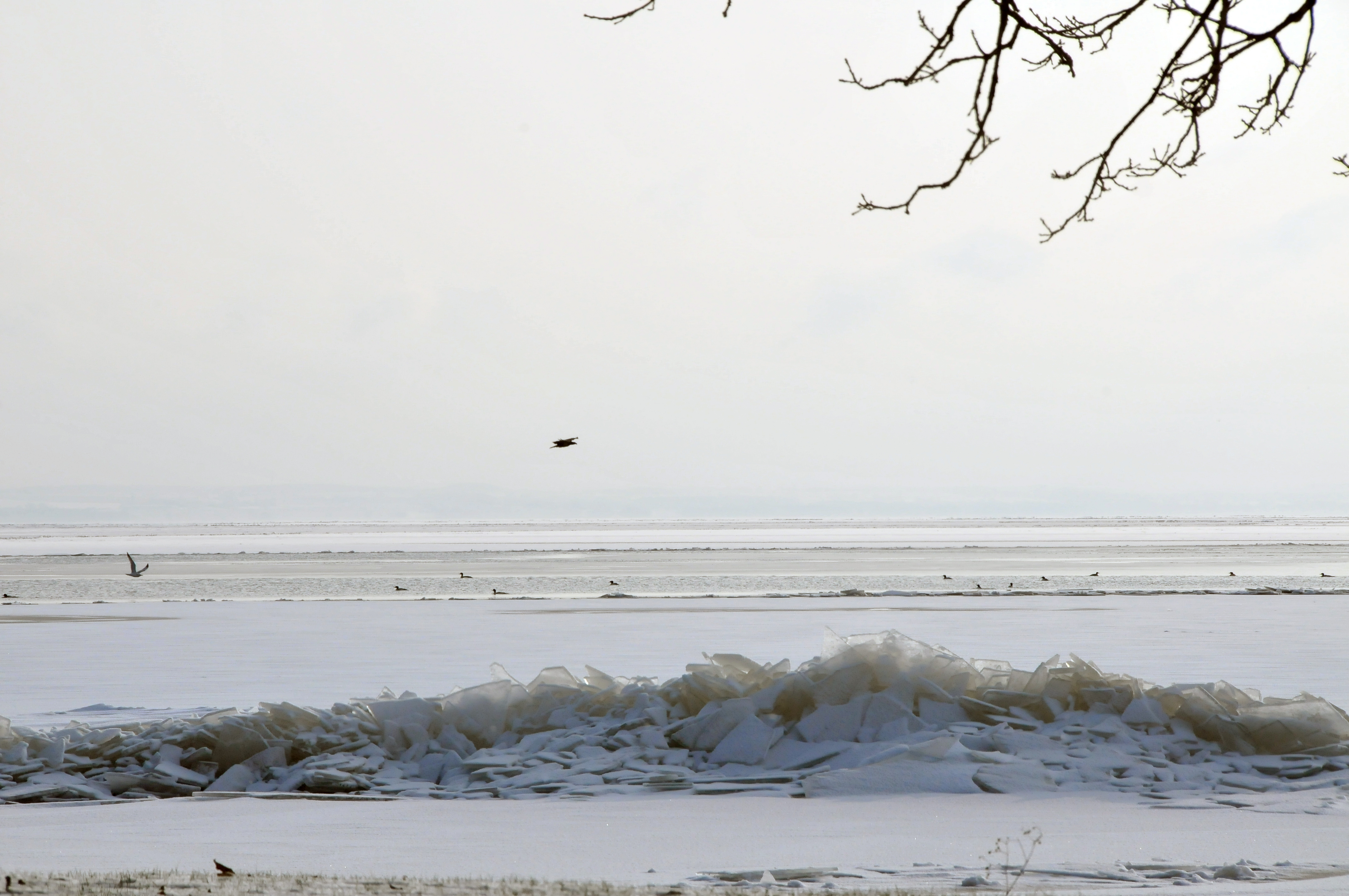
early ice shove

IC 2711
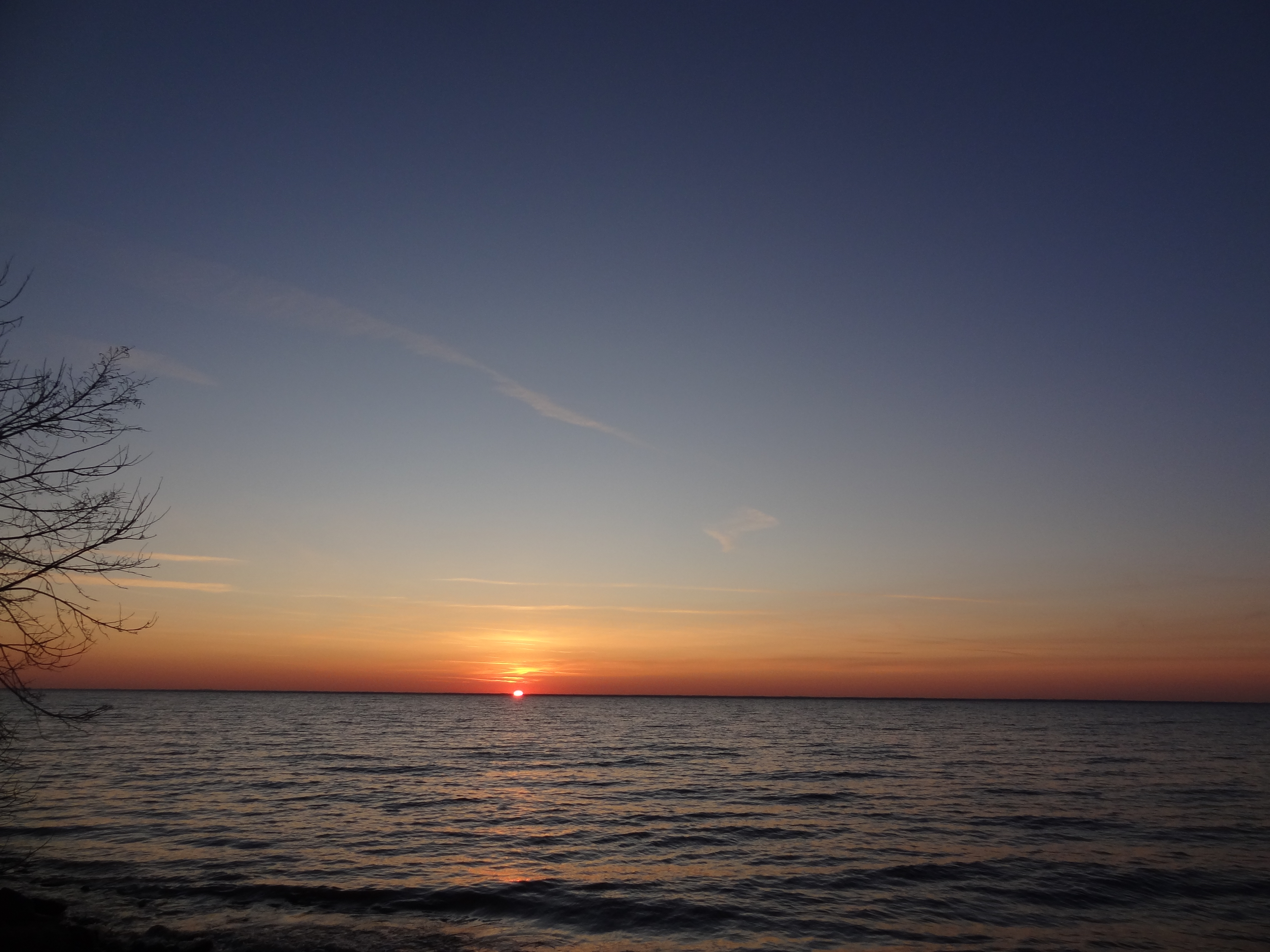
Sunset on Lake Winnebago
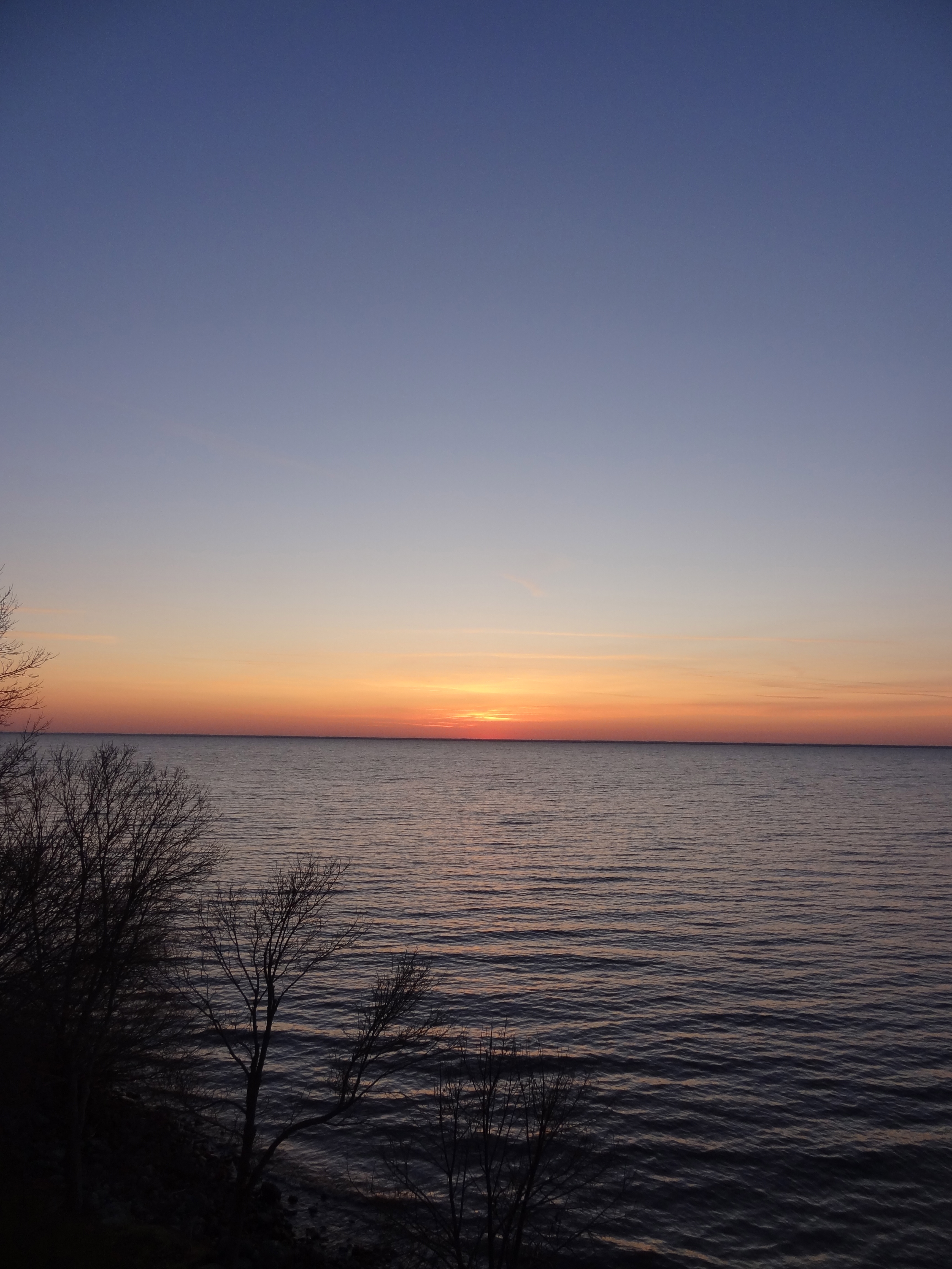
Sunset over Lake Winnebago
Lakeside running
Topographic Map of N Van Dyne Rd, Van Dyne, WI, USA
Find elevation by address:

Places near N Van Dyne Rd, Van Dyne, WI, USA:
Van Dyne
6462 E Decorah Ave
Friendship
Minnesota Ave, North Fond Du Lac, WI, USA
North Fond Du Lac
Eldorado
Vermont Street
North Hickory Street & West Johnson Street
373 W Johnson St
776 Forest Ave
780 Bragg St
500 Taft St
501 Taft St
494 Taft St
499 Taft St
481 Taft St
105 N Main St
383 Taft St
377 Taft St
Fond du Lac, WI, USA
Recent Searches:
- Elevation of Corso Fratelli Cairoli, 35, Macerata MC, Italy
- Elevation of Tallevast Rd, Sarasota, FL, USA
- Elevation of 4th St E, Sonoma, CA, USA
- Elevation of Black Hollow Rd, Pennsdale, PA, USA
- Elevation of Oakland Ave, Williamsport, PA, USA
- Elevation of Pedrógão Grande, Portugal
- Elevation of Klee Dr, Martinsburg, WV, USA
- Elevation of Via Roma, Pieranica CR, Italy
- Elevation of Tavkvetili Mountain, Georgia
- Elevation of Hartfords Bluff Cir, Mt Pleasant, SC, USA