Elevation of N Van Dyke Rd, Imlay City, MI, USA
Location: United States > Michigan > Lapeer County > Imlay Township > Imlay City >
Longitude: -83.074213
Latitude: 43.1424135
Elevation: 262m / 860feet
Barometric Pressure: 98KPa
Elevation Map:
Satellite Map:
Related Photos:
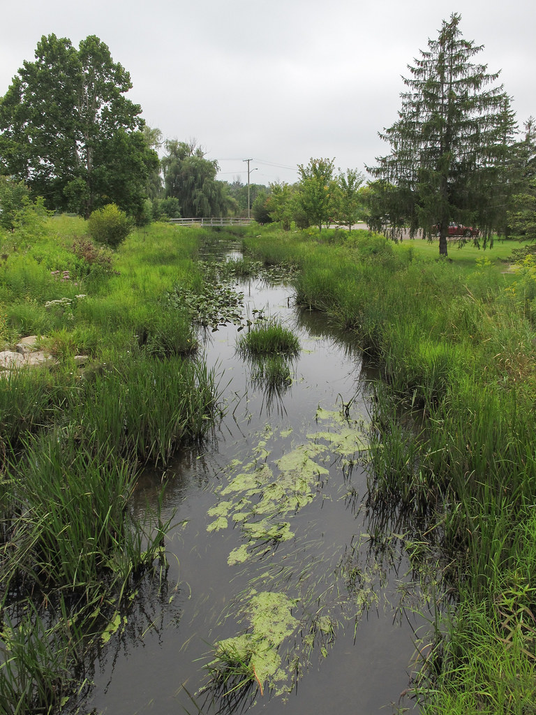
Not huge!, the river "North Branch Belle River" in Imlay City, Michigan.
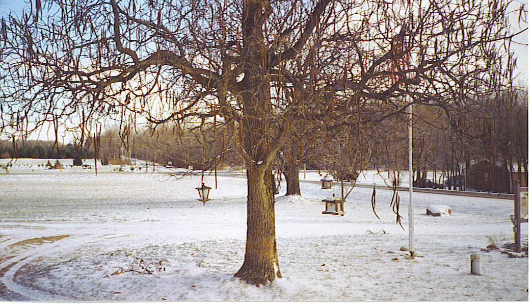
Thanksgiving 2005 View

My Yard - Gazebo #2

Fairchild 24 Flying Model View #1
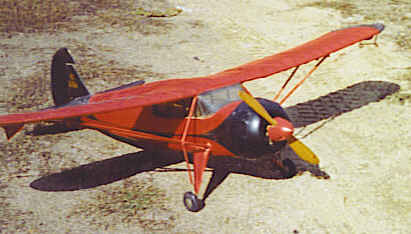
Fairchild 24 Flying Model View #2
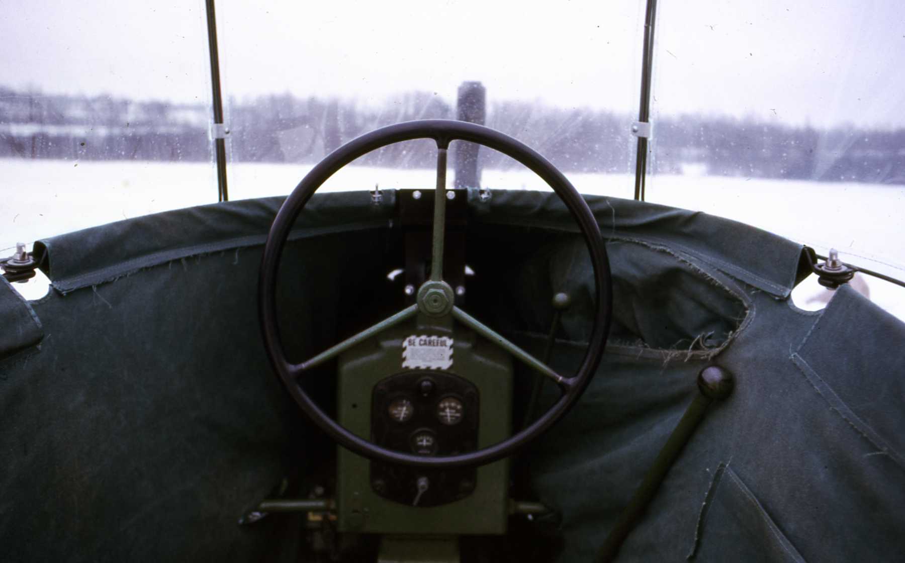
My Hobby Tractor #5
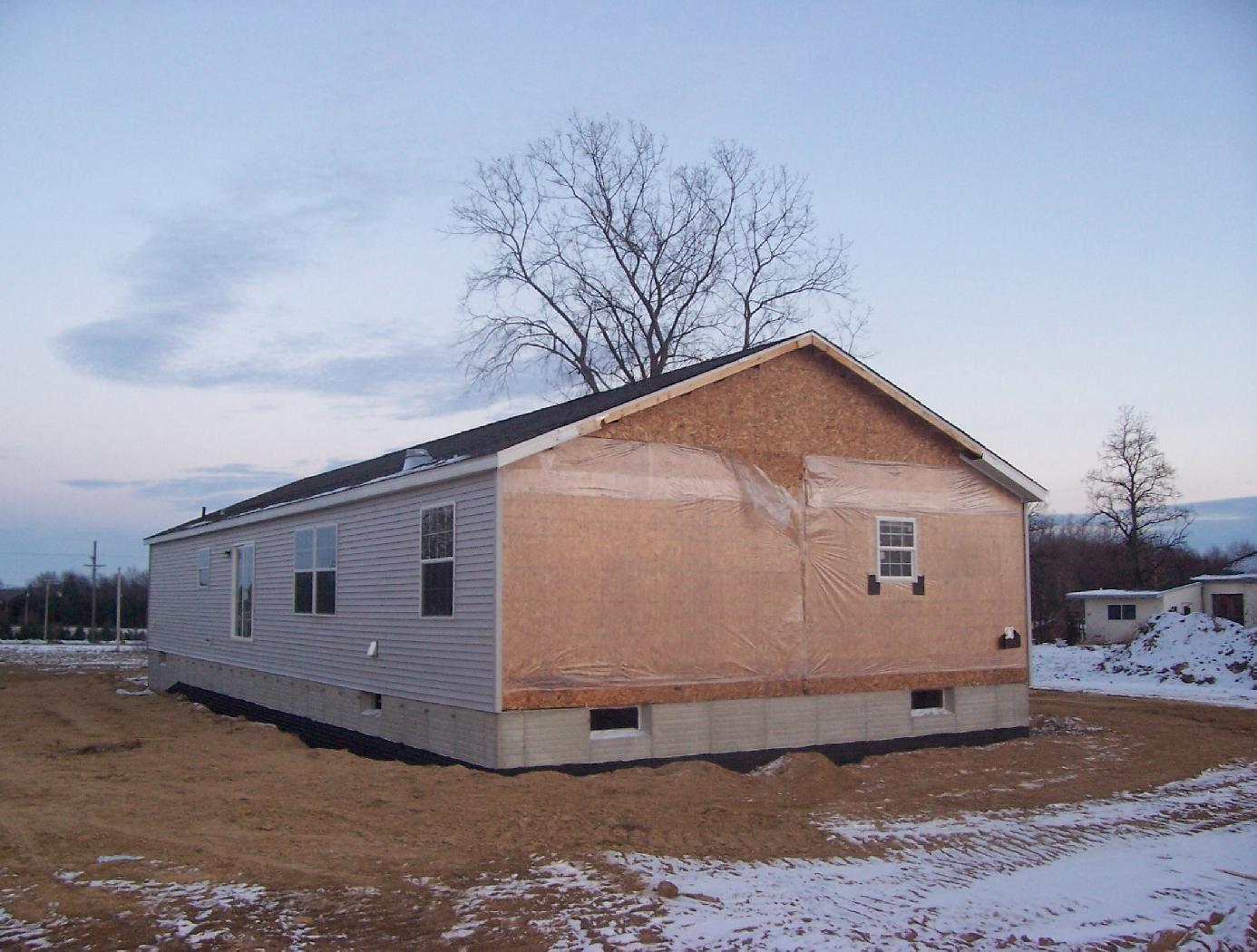
Our New house #99
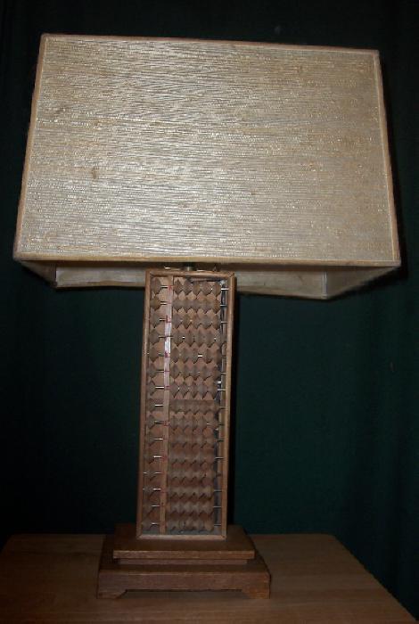
Abacus Lamp #2

Red-eyed Vireo

American Redstart
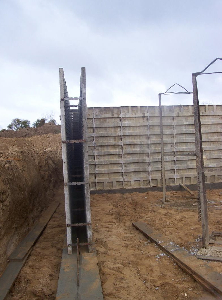
Our New House #41
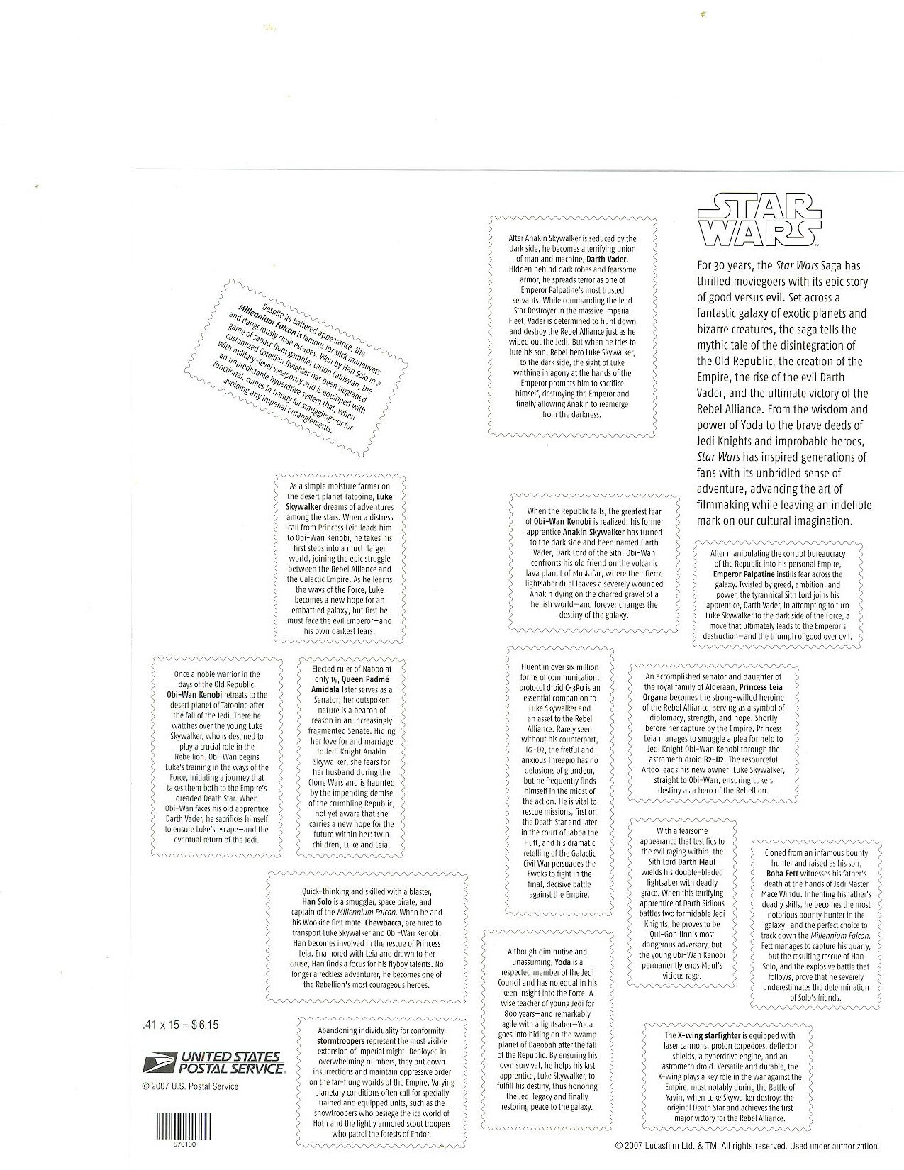
Star Wars Stamps #2

country road

Fields of Michigan

Fields of Michigan

Red-eyed Vireo
Topographic Map of N Van Dyke Rd, Imlay City, MI, USA
Find elevation by address:

Places near N Van Dyke Rd, Imlay City, MI, USA:
2009 N Van Dyke Rd
N Van Dyke Rd, Imlay City, MI, USA
Deanville Road
Burnside Township
Brown City
Imlay City
Lapeer County
Attica Township
Imlay Township
S Lake Pleasant Rd, Attica, MI, USA
North Branch
Kings Mill Rd, Lapeer, MI, USA
3131 S Van Dyke Rd
8015 Linden Dr
Almont Township
Mayfield Township
Dryden
Main St, Dryden, MI, USA
2792 Roods Lake Rd
3211 Roods Lake Rd
Recent Searches:
- Elevation of Pykes Down, Ivybridge PL21 0BY, UK
- Elevation of Jalan Senandin, Lutong, Miri, Sarawak, Malaysia
- Elevation of Bilohirs'k
- Elevation of 30 Oak Lawn Dr, Barkhamsted, CT, USA
- Elevation of Luther Road, Luther Rd, Auburn, CA, USA
- Elevation of Unnamed Road, Respublika Severnaya Osetiya — Alaniya, Russia
- Elevation of Verkhny Fiagdon, North Ossetia–Alania Republic, Russia
- Elevation of F. Viola Hiway, San Rafael, Bulacan, Philippines
- Elevation of Herbage Dr, Gulfport, MS, USA
- Elevation of Lilac Cir, Haldimand, ON N3W 2G9, Canada