Elevation of N Triple X Rd, Luther, OK, USA
Location: United States > Oklahoma > Cleveland County > Oklahoma City > Northeast Oklahoma City >
Longitude: -97.231052
Latitude: 35.6064174
Elevation: 314m / 1030feet
Barometric Pressure: 98KPa
Elevation Map:
Satellite Map:
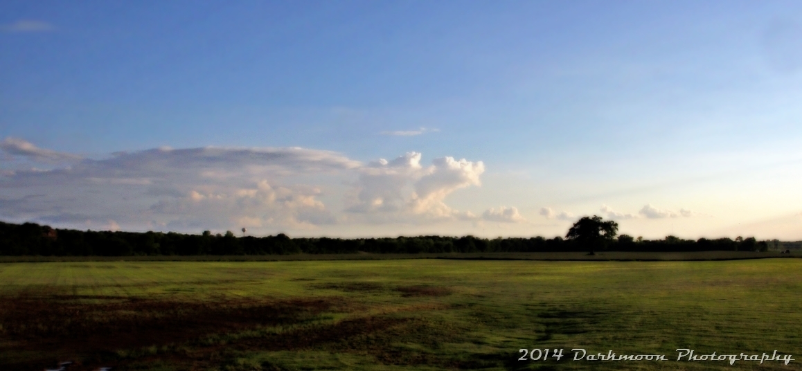
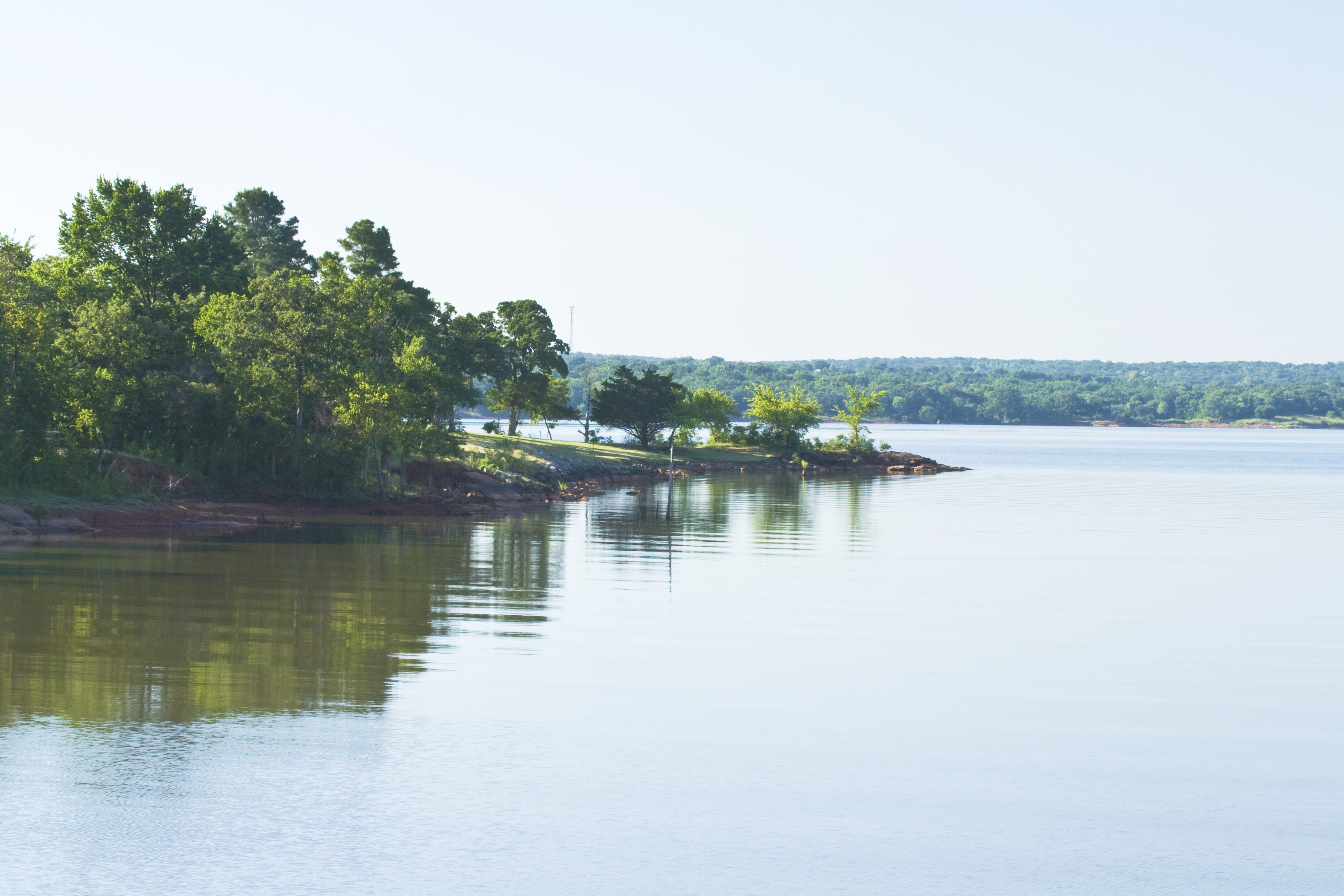
Related Photos:

Edmond/Carney Supercell

Sweetwater | 9449 Lake Way Run Edmond OK
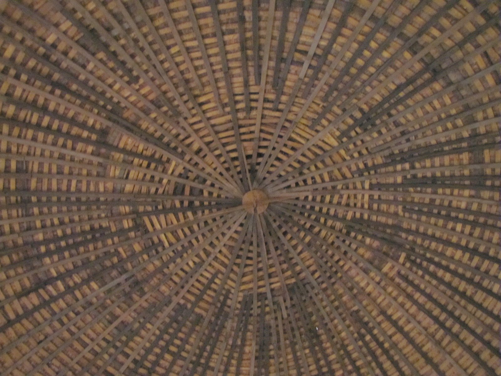
The round barn of Arcadia - inner view
got the blues...

Carney Tornado
In the round
Big Bottle

Lake Arcadia Sunrise
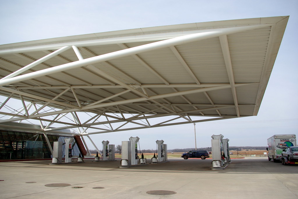
Closer view of the canopy
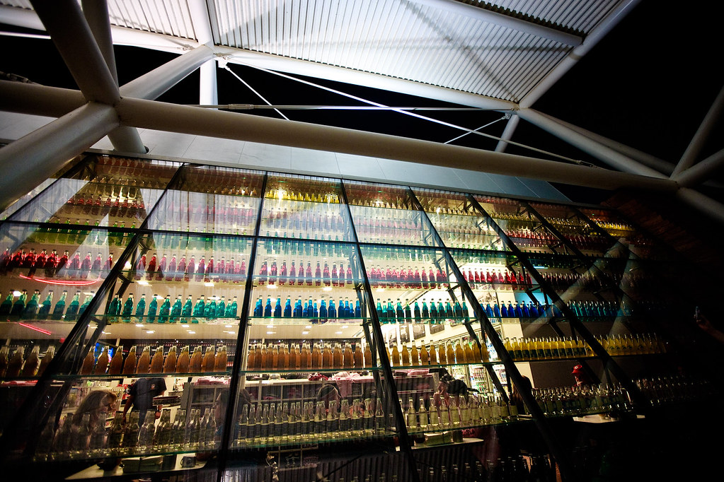
the great wall of pop
Metropolitan A.M.E. Church
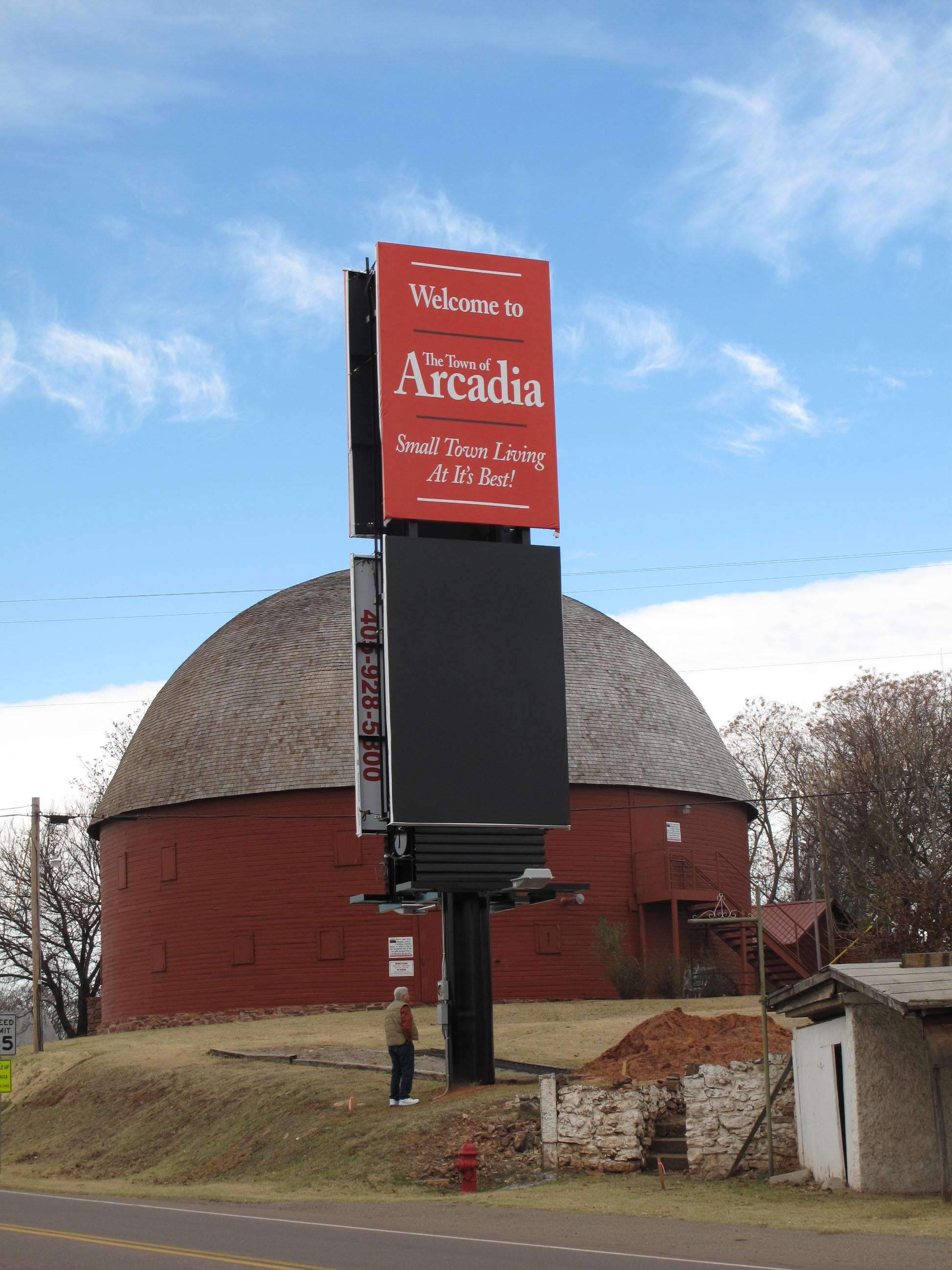
Round barn on Route 66 (2 of 5)

Demolition Derby pano
Shadow Ridge Acreage | 7200 NE 121
Outdoor side view
Shadow Ridge Acreage | 7200 NE 121
DSC_0029.1
Round Barn, Arcadia (Okla.), 25 November 2010
Photo236.jpg
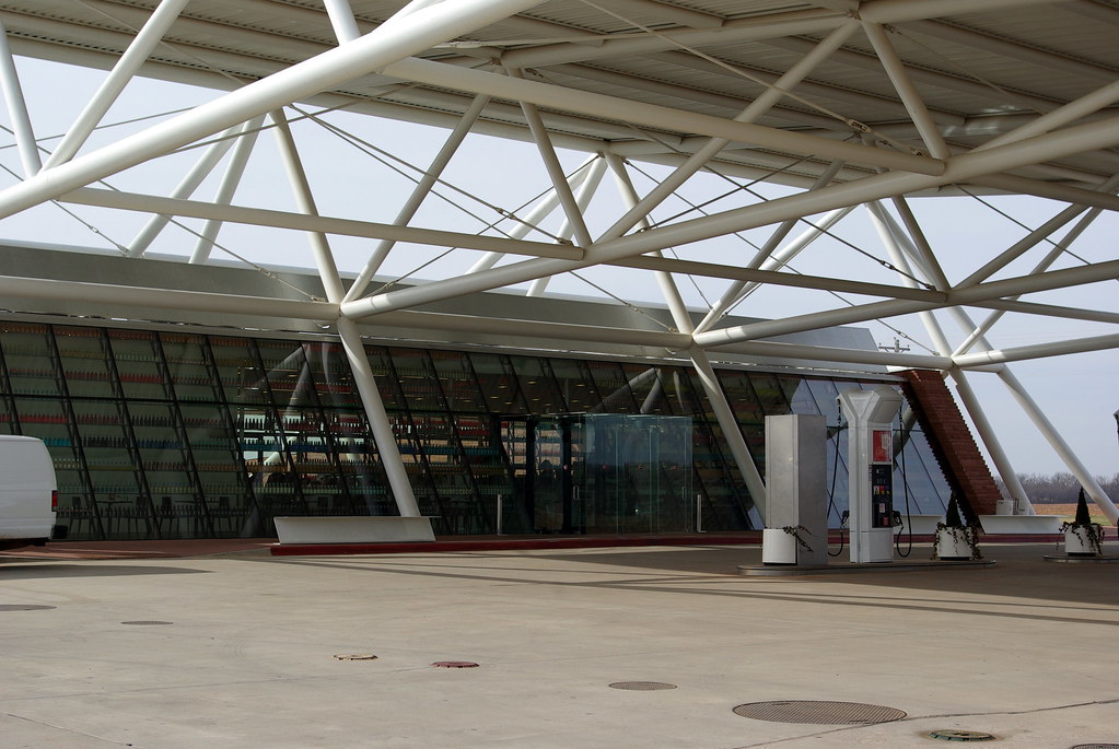
Outside view of the front wall (wall of pop)
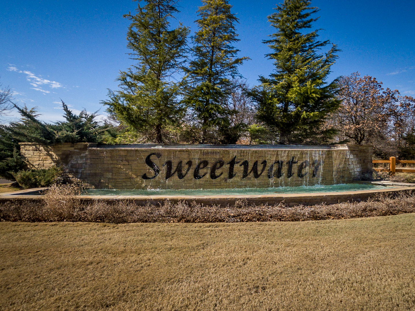
Sweetwater | 9449 Lake Way Run Edmond OK

Gone fishing...

OKC Gun Club

Back Exterior

Edmond Tornado

Rural #luther #oklahoma #rural #route66 #peaceandquiet #nostoplights #thunderstorm
THE COLOR OF OKLAHOMA
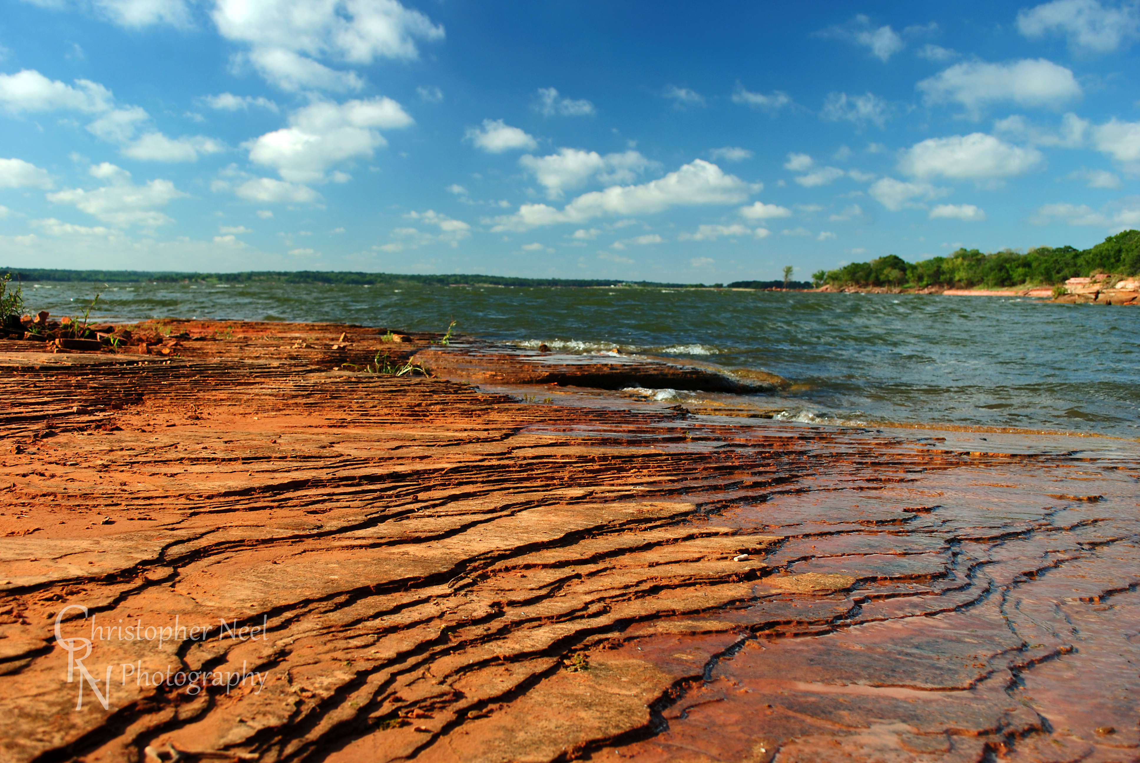
Garber Sandstone at Arcadia Lake, OK - 20100922CRN
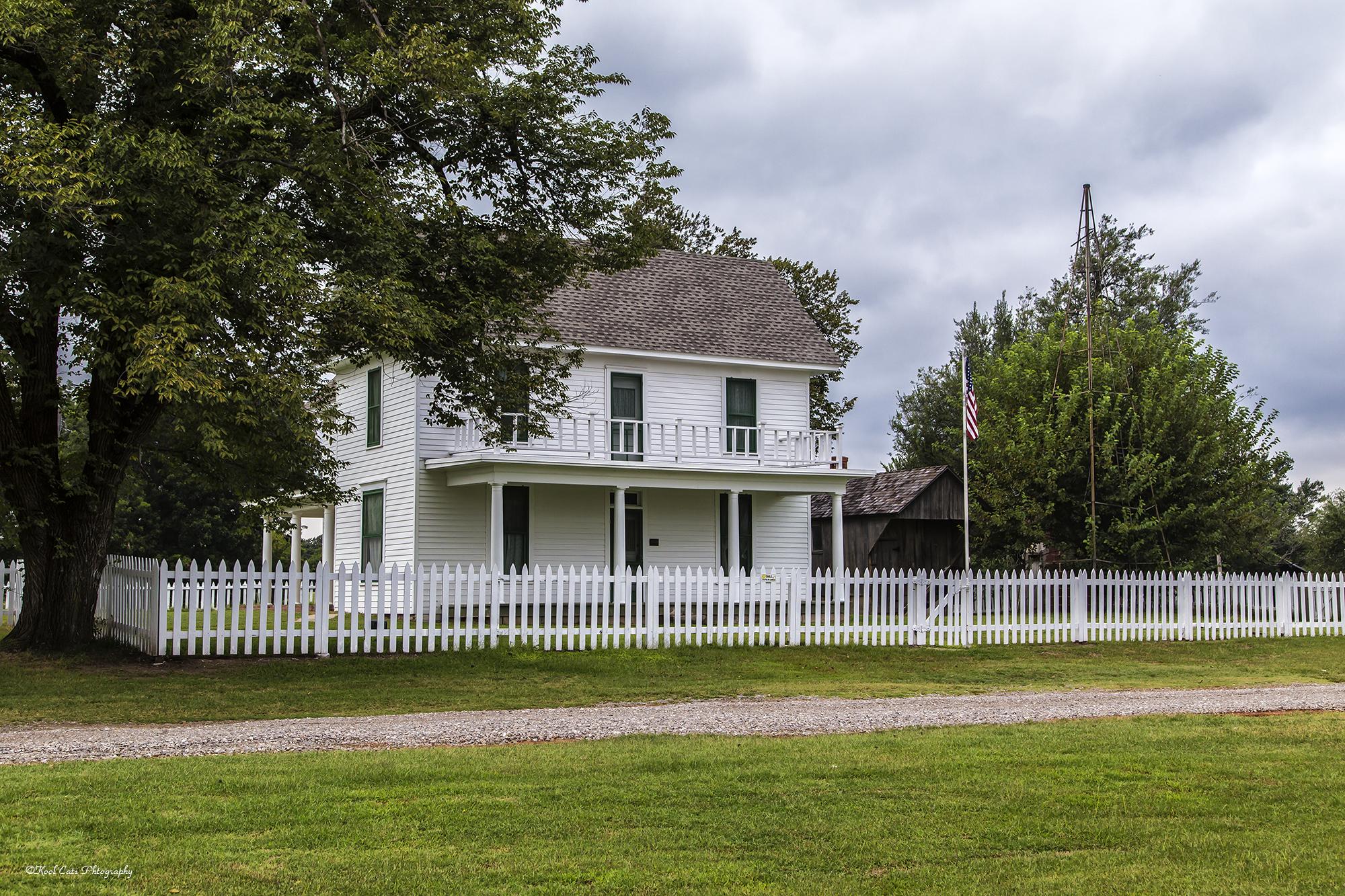
The White Picket Fence
Lake Arcadia - 07142008 - 001-11
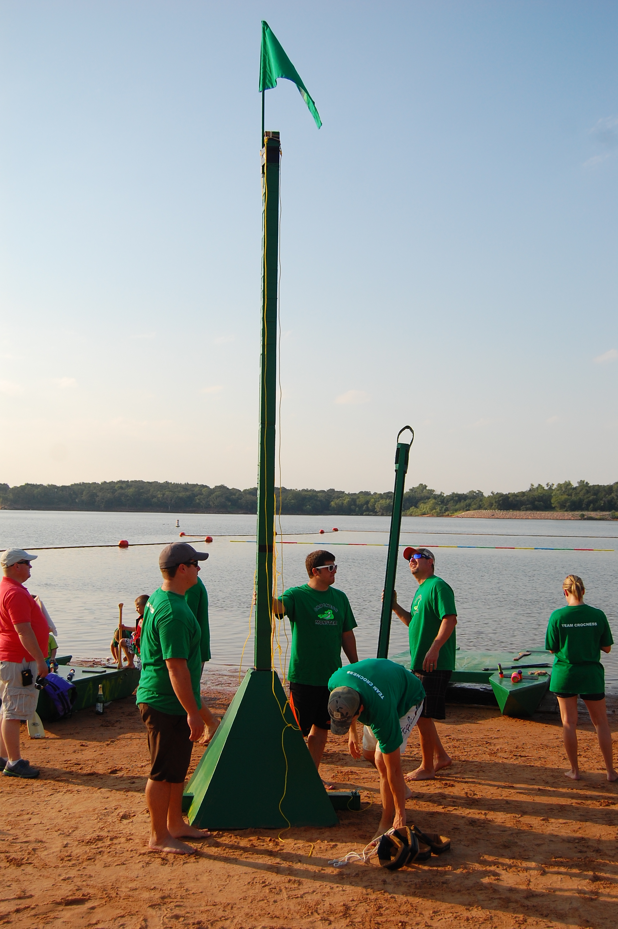
The Flag of Team Crocness
Shadow Ridge Acreage | 7200 NE 121
other side of daybreak
Lake Arcadia
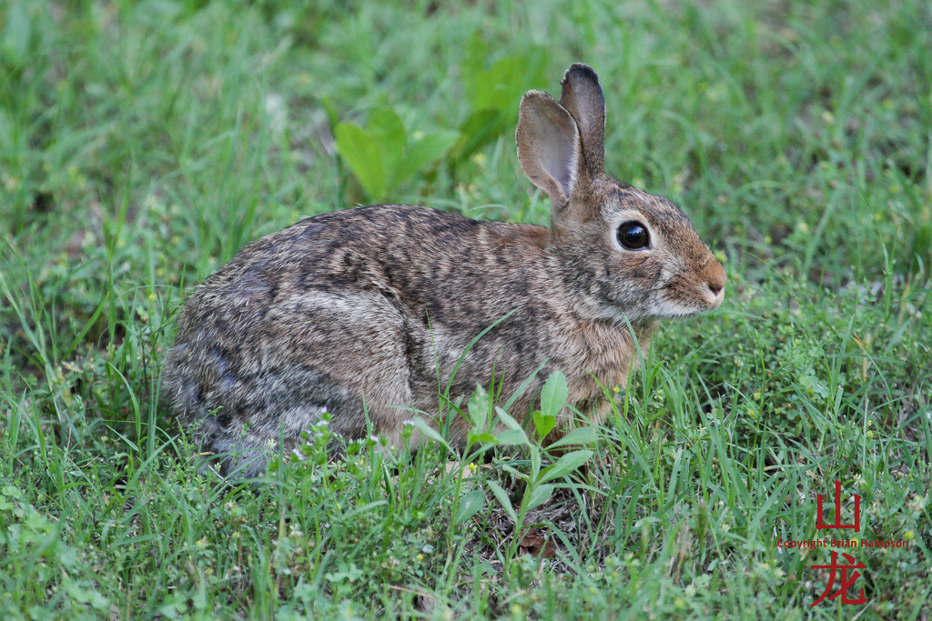
Rabbit - in abundance

Photo253.jpg
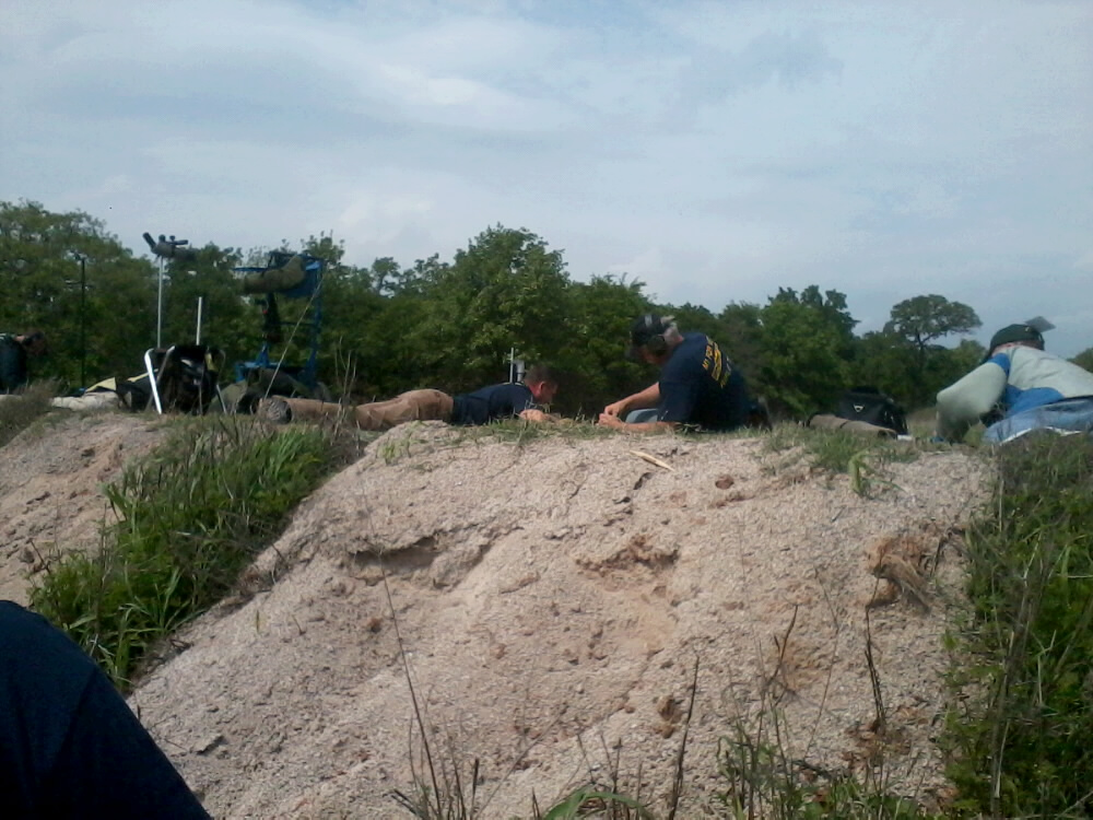
Photo252.jpg
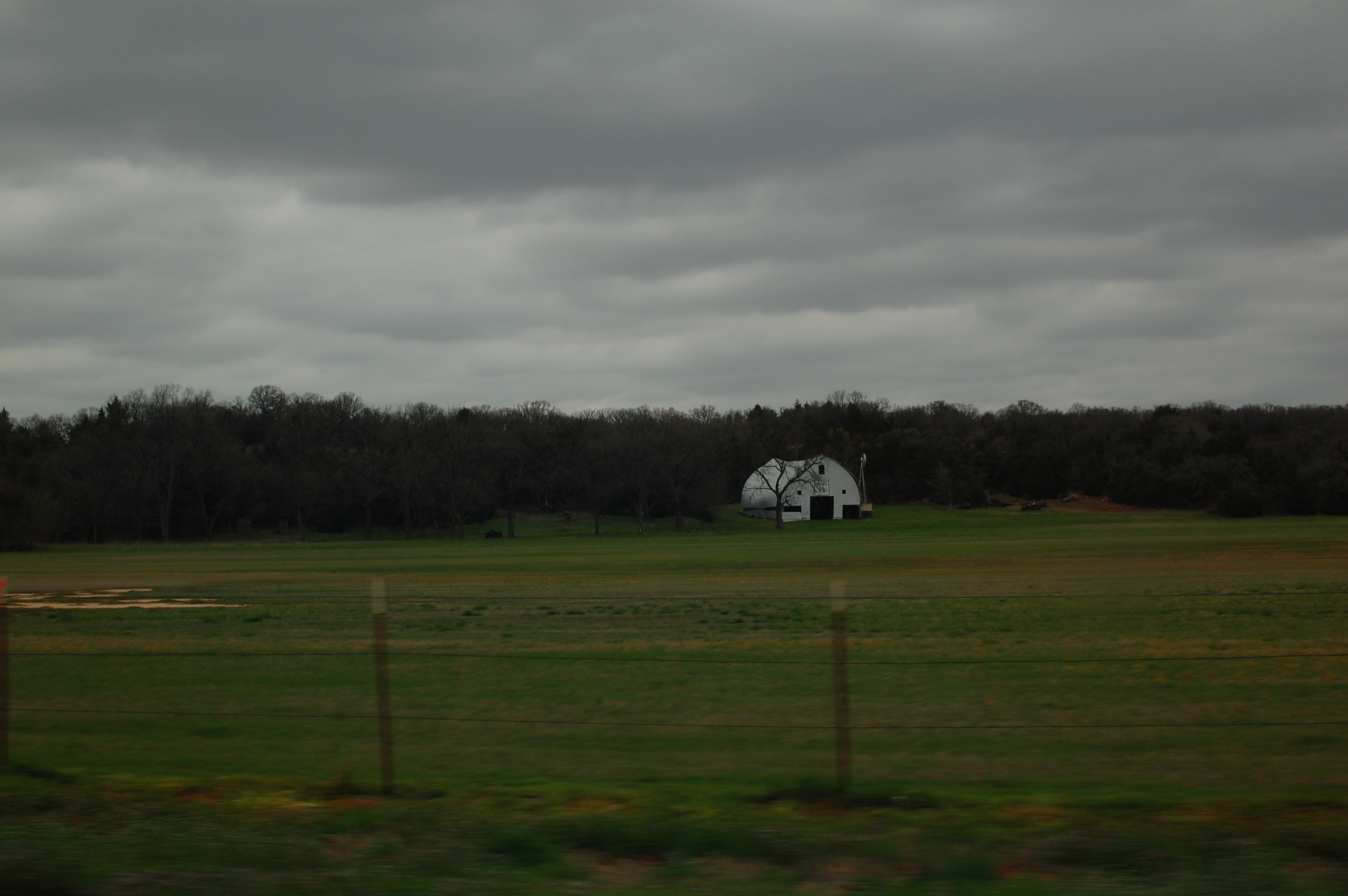
The barn at Rock of the Ages Farm
Bright Night
Topographic Map of N Triple X Rd, Luther, OK, USA
Find elevation by address:

Places near N Triple X Rd, Luther, OK, USA:
Jones
19700 E Wilshire Blvd
19800 E Wilshire Blvd
20000 E Wilshire Blvd
22000 E Wilshire Blvd
20000 E Wilshire Blvd
22000 E Wilshire Blvd
19300 E Wilshire Blvd
9613 N Hiwassee Rd
19391 Ne 63rd St
12100 N Anderson Rd
12100 N Anderson Rd
15515 Champions Glen
N 5th St, Arcadia, OK, USA
Horseshoe Lake
Arcadia
Oklahoma County
Northeast Oklahoma City
334423 960 Rd
Recent Searches:
- Elevation of Homestead Ridge, New Braunfels, TX, USA
- Elevation of Orchard Road, Orchard Rd, Marlborough, NY, USA
- Elevation of 12 Hutchinson Woods Dr, Fletcher, NC, USA
- Elevation of Holloway Ave, San Francisco, CA, USA
- Elevation of Norfolk, NY, USA
- Elevation of - San Marcos Pass Rd, Santa Barbara, CA, USA
- Elevation of th Pl SE, Issaquah, WA, USA
- Elevation of 82- D Rd, Captain Cook, HI, USA
- Elevation of Harlow CM20 2PR, UK
- Elevation of Shenyang Agricultural University, Dong Ling Lu, Shen He Qu, Shen Yang Shi, Liao Ning Sheng, China