Elevation of N th Ave, Sun City West, AZ, USA
Location: United States > Arizona > Maricopa County > Sun City West >
Longitude: -112.33834
Latitude: 33.64757
Elevation: 367m / 1204feet
Barometric Pressure: 97KPa
Elevation Map:
Satellite Map:
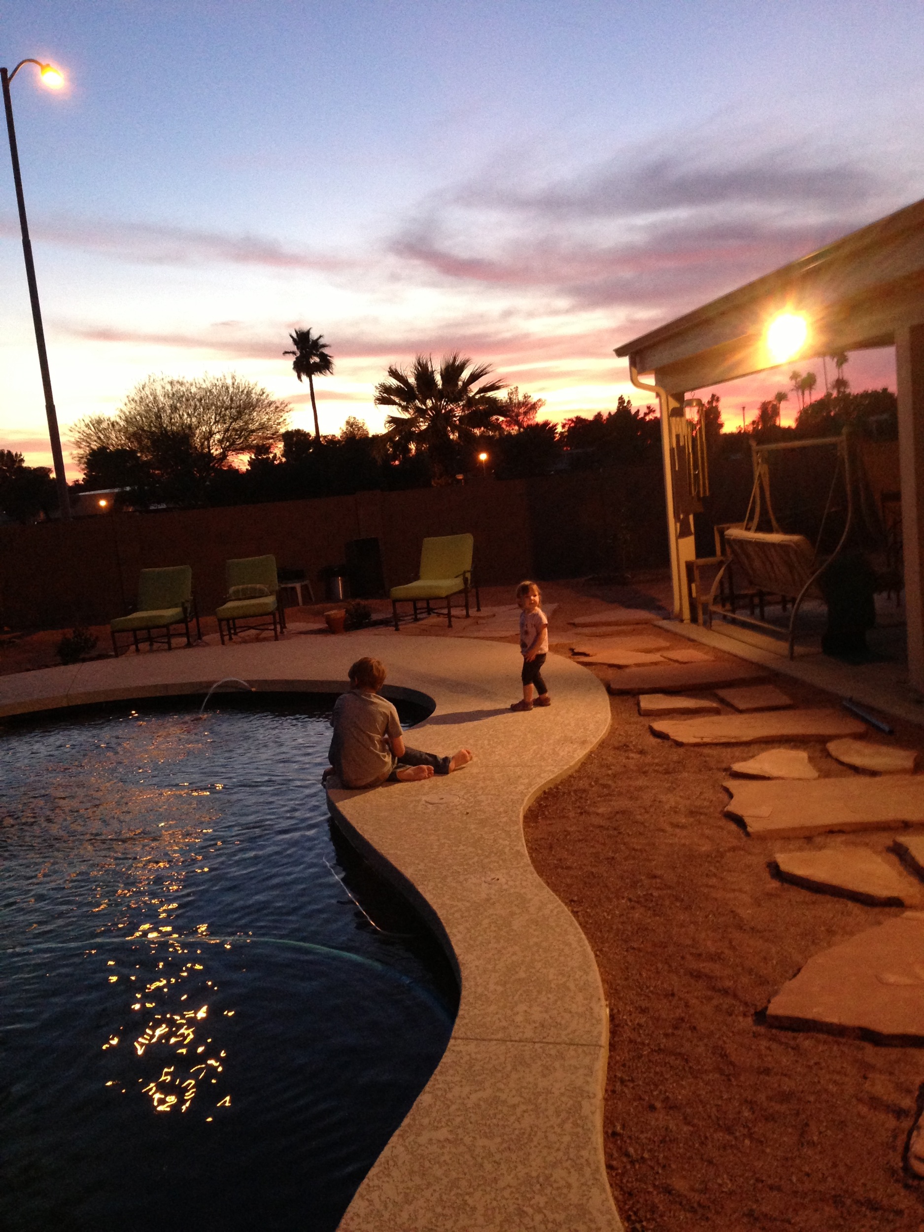
Related Photos:

Aerial view at the master planned communities
☺

Arrowhead Ranch and Hedgpeth Hills, Glendale, AZ

Sporting Goods Store - Project Flickr: 51/52 - High POV

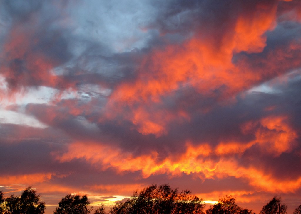
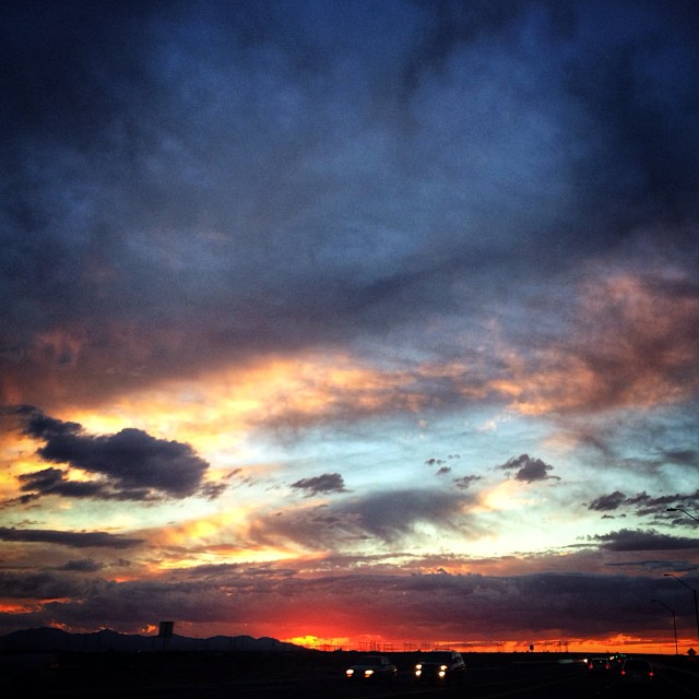
Arizona Sunset After a Storm - Fractal Mosaic, v.2

Litchfield Sunset in HDR 2

View from our seats in Jobing.com Arena

boeing b-17g flying fortress

the realization of a dream
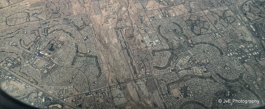
Bird-eye view at master planned communities in Phoenix, AZ
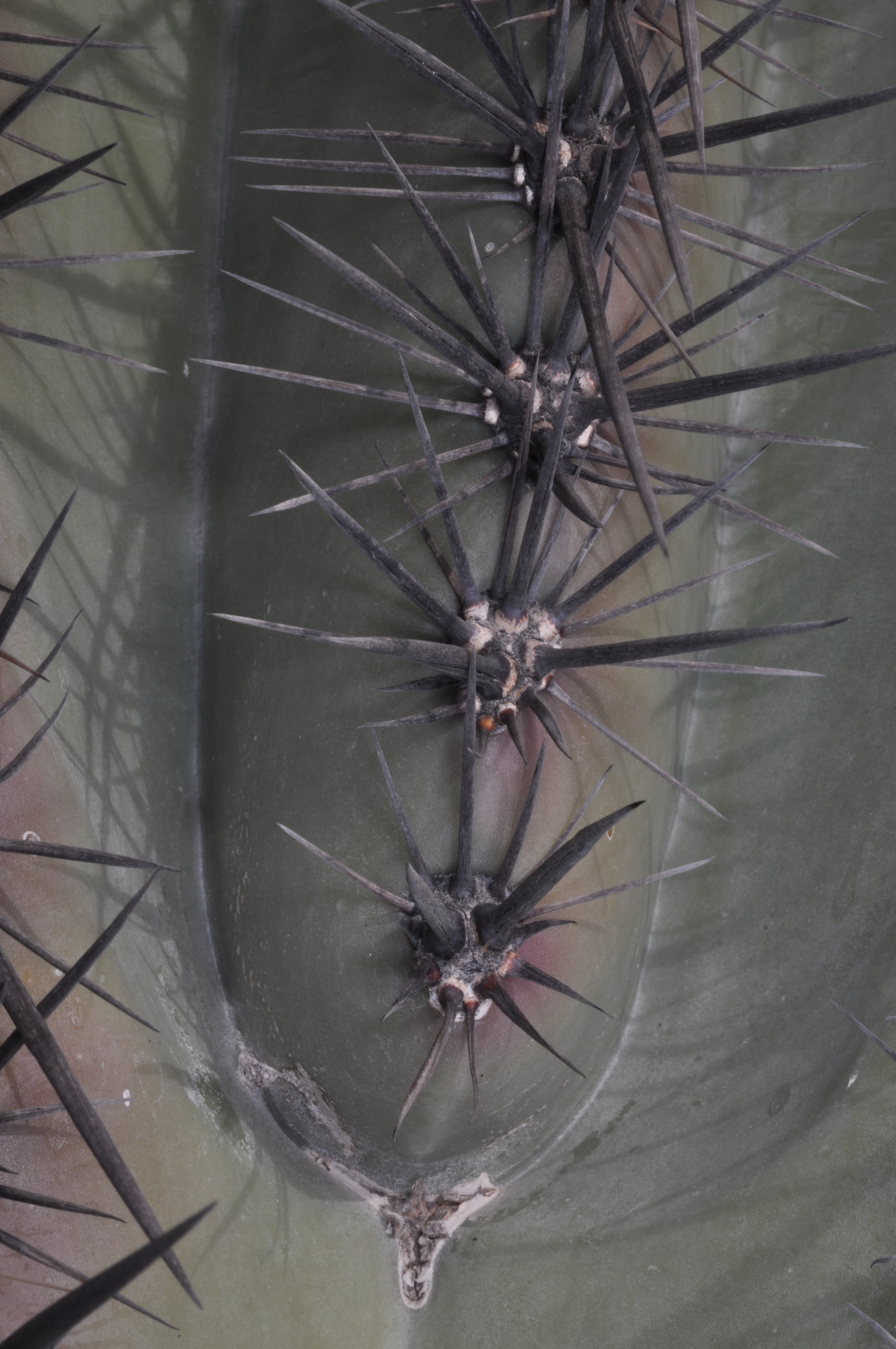
Series of areola on Giant Saguaro cactus
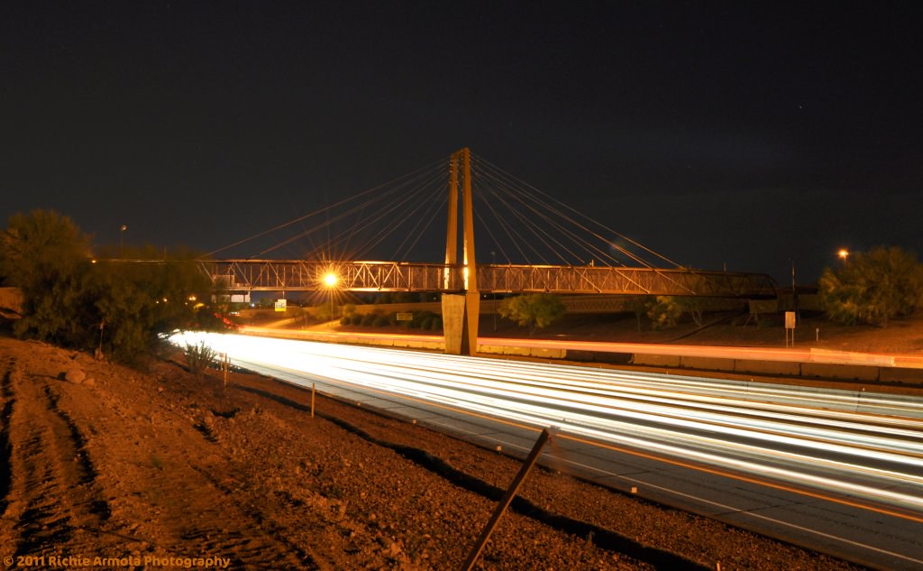
(Unfinished) Bridge over loop 101 at 63rd ave in Glendale AZ

general dynamics f-16a fighting falcon

Inside-out view
Fire Alarm
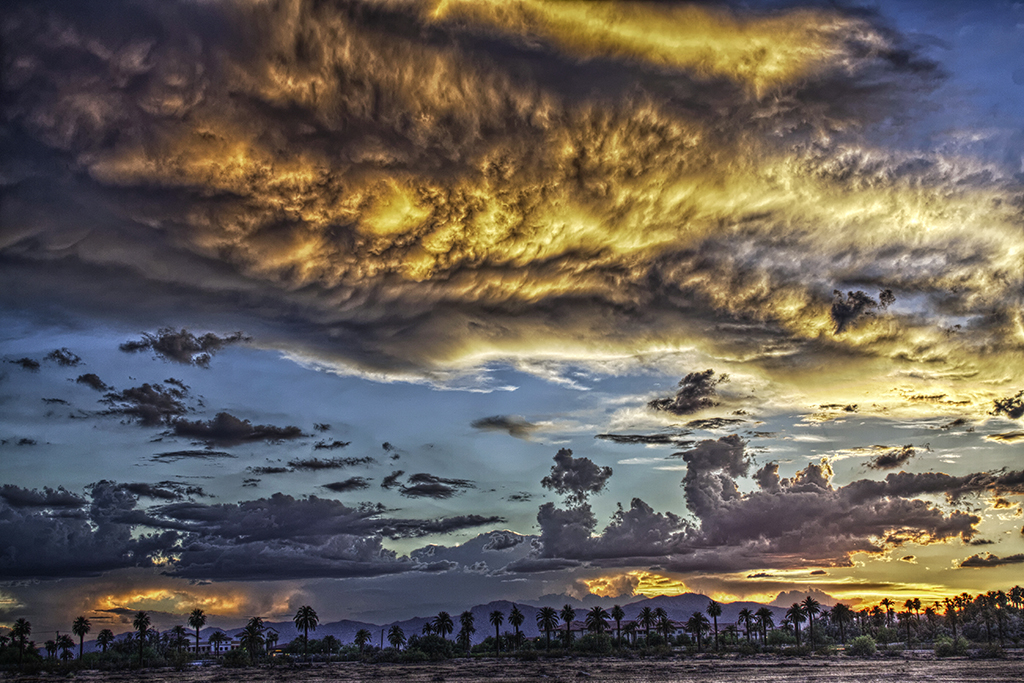
Litchfield Sunset in HDR
More friday afternoon views.
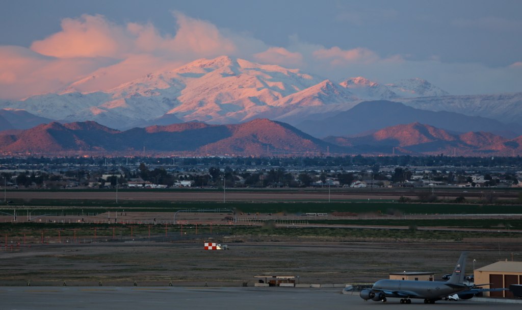
Not a typical view from Luke Tower.

Fire Over Zanjero
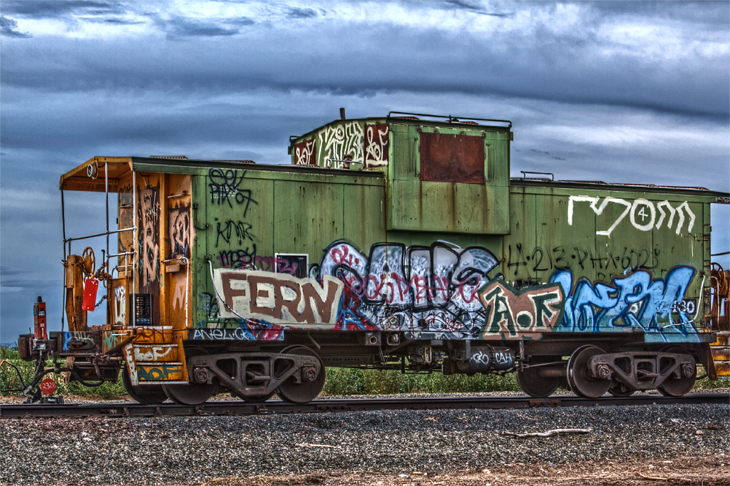
The Caboose in HDR

Only if...

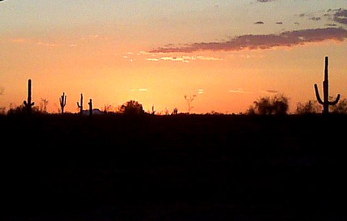
Arizona sunset

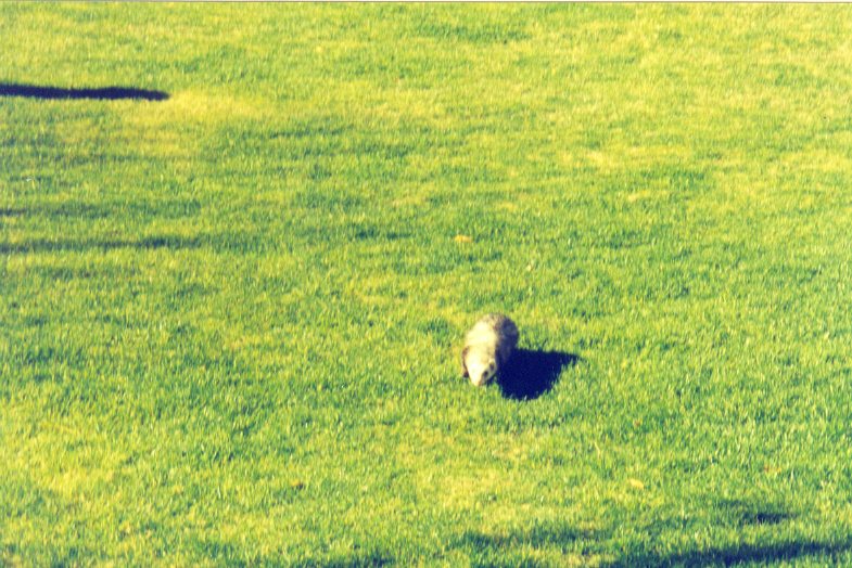
The Tenth Green

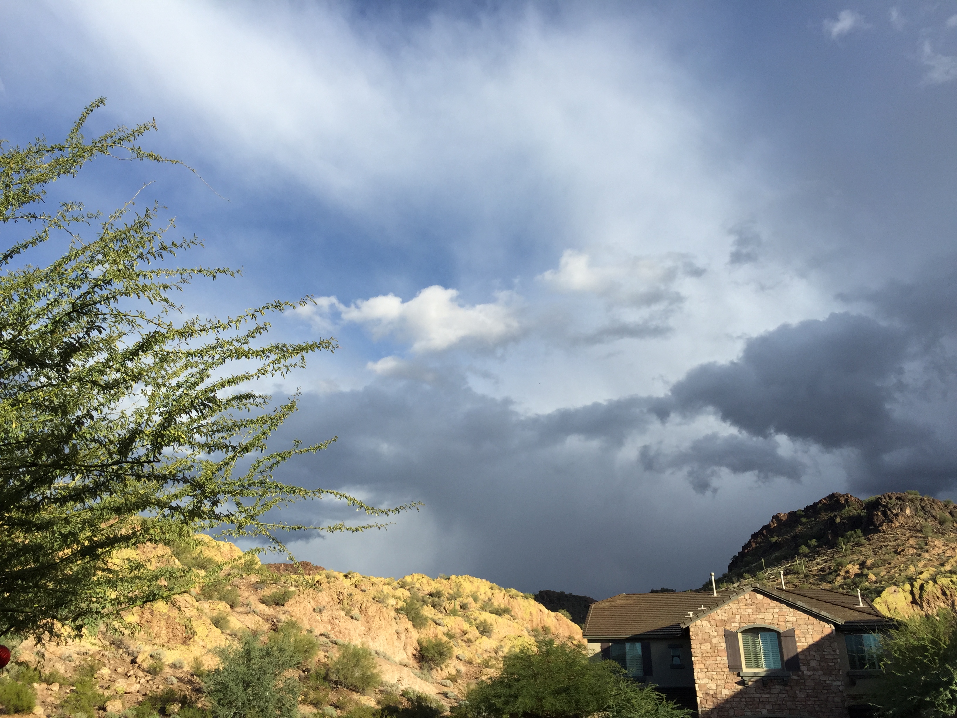
Monsoon storm rolling in from the south.

Good Evening Arizona
On my way to town
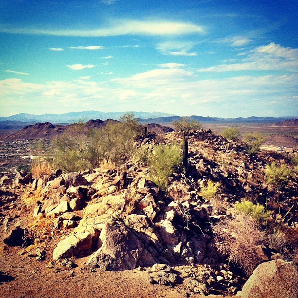
#desert #landscape
Once again another amazing #sunset
Camera Roll-730

Monsoon Clouds - Late Afternoon Rain Squal

Great clouds out this morning.
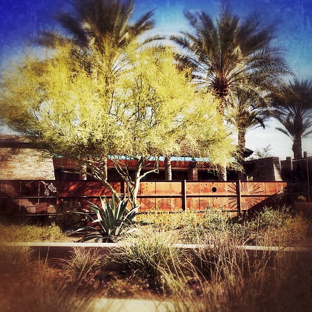
Mitey-Courtyard

road trip! 048
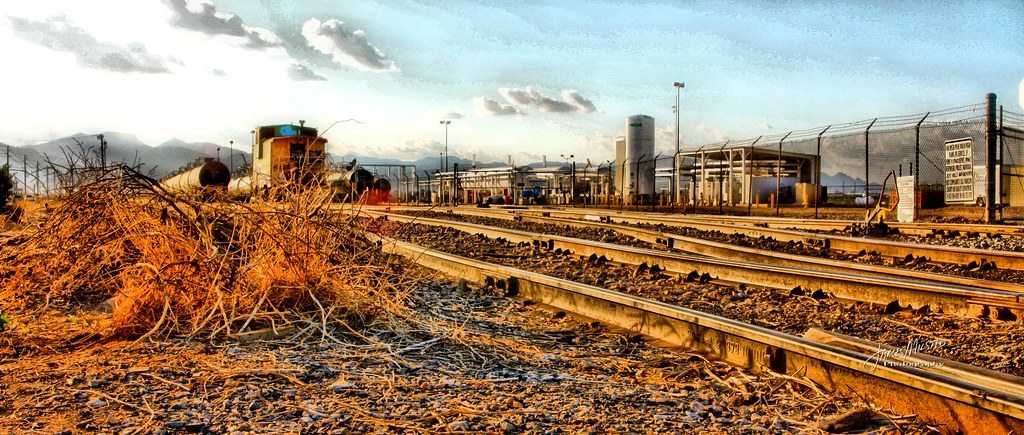
On the Rails - Tone Mapped
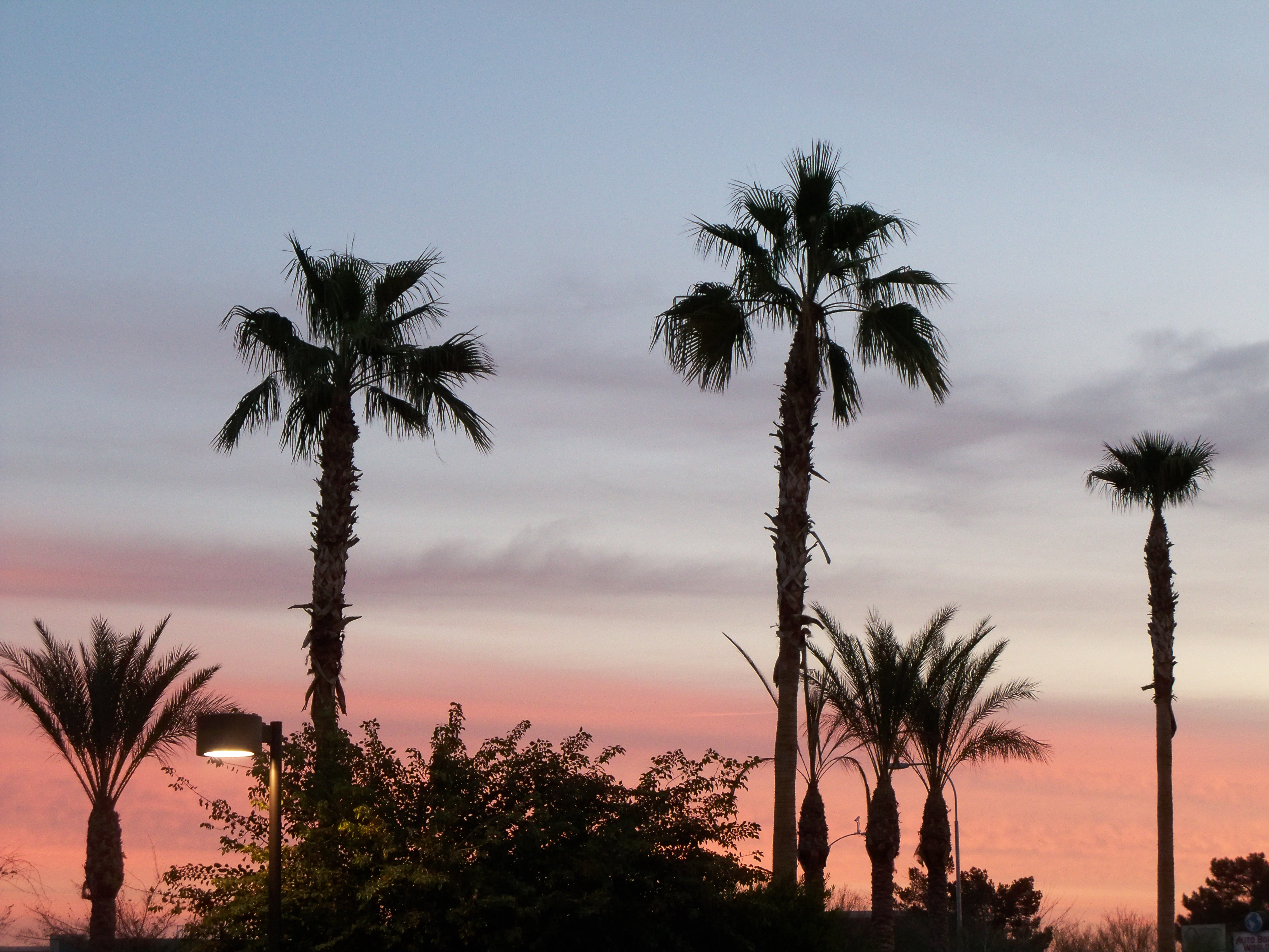
Sunrise in Phoenix

Much needed car wash for the Mustang.

My Photo Stream-223

IMG_3405.jpg
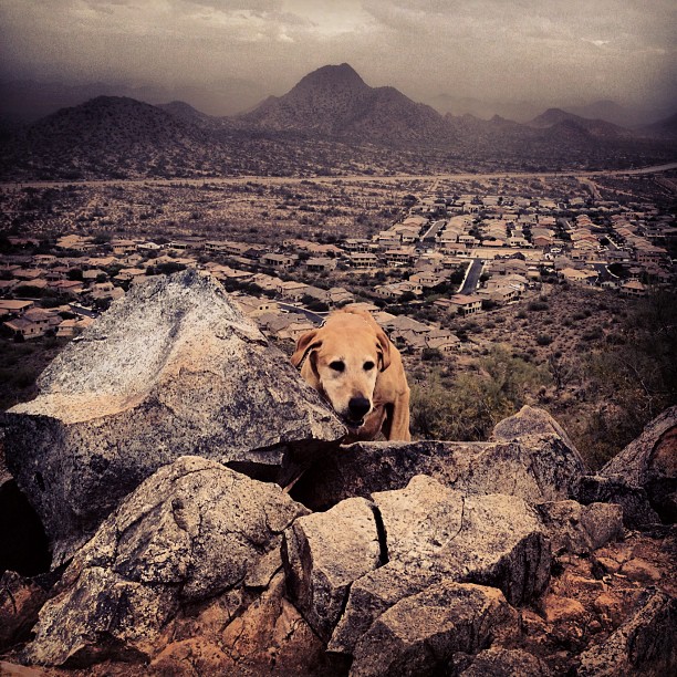
Hiking with the hounds.
All Photos-1485
Topographic Map of N th Ave, Sun City West, AZ, USA
Find elevation by address:

Places near N th Ave, Sun City West, AZ, USA:
Sun City, AZ, USA
Sun City West
W Grand Ave, Surprise, AZ, USA
Surprise Marketplace
Surprise Original Townsite
W Paradise Ln, Surprise, AZ, USA
12623 W Gable Hill Dr
Rancho El Mirage
Surprise
N th Ave, El Mirage, AZ, USA
El Mirage
12550 W Thunderbird Rd #106
Pinehollow Drive
W Calumet Dr, Sun City West, AZ, USA
West Sweetwater Avenue
Mansfield
Agua Fria
N Tonya St, El Mirage, AZ, USA
Sundero At Crossriver
12009 W Aster Dr
Recent Searches:
- Elevation of Corso Fratelli Cairoli, 35, Macerata MC, Italy
- Elevation of Tallevast Rd, Sarasota, FL, USA
- Elevation of 4th St E, Sonoma, CA, USA
- Elevation of Black Hollow Rd, Pennsdale, PA, USA
- Elevation of Oakland Ave, Williamsport, PA, USA
- Elevation of Pedrógão Grande, Portugal
- Elevation of Klee Dr, Martinsburg, WV, USA
- Elevation of Via Roma, Pieranica CR, Italy
- Elevation of Tavkvetili Mountain, Georgia
- Elevation of Hartfords Bluff Cir, Mt Pleasant, SC, USA