Elevation of N T St, Washougal, WA, USA
Location: United States > Washington > Skamania County > Washougal >
Longitude: -122.35532
Latitude: 45.5927209
Elevation: 96m / 315feet
Barometric Pressure: 100KPa
Elevation Map:
Satellite Map:
Related Photos:
Hillside After Hillside...
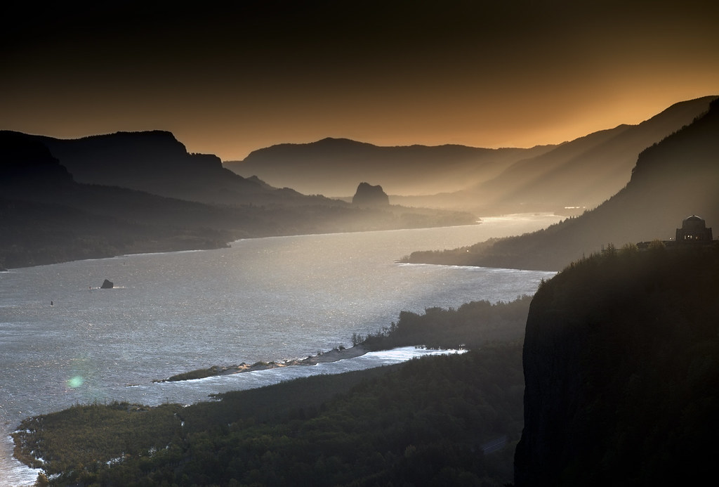
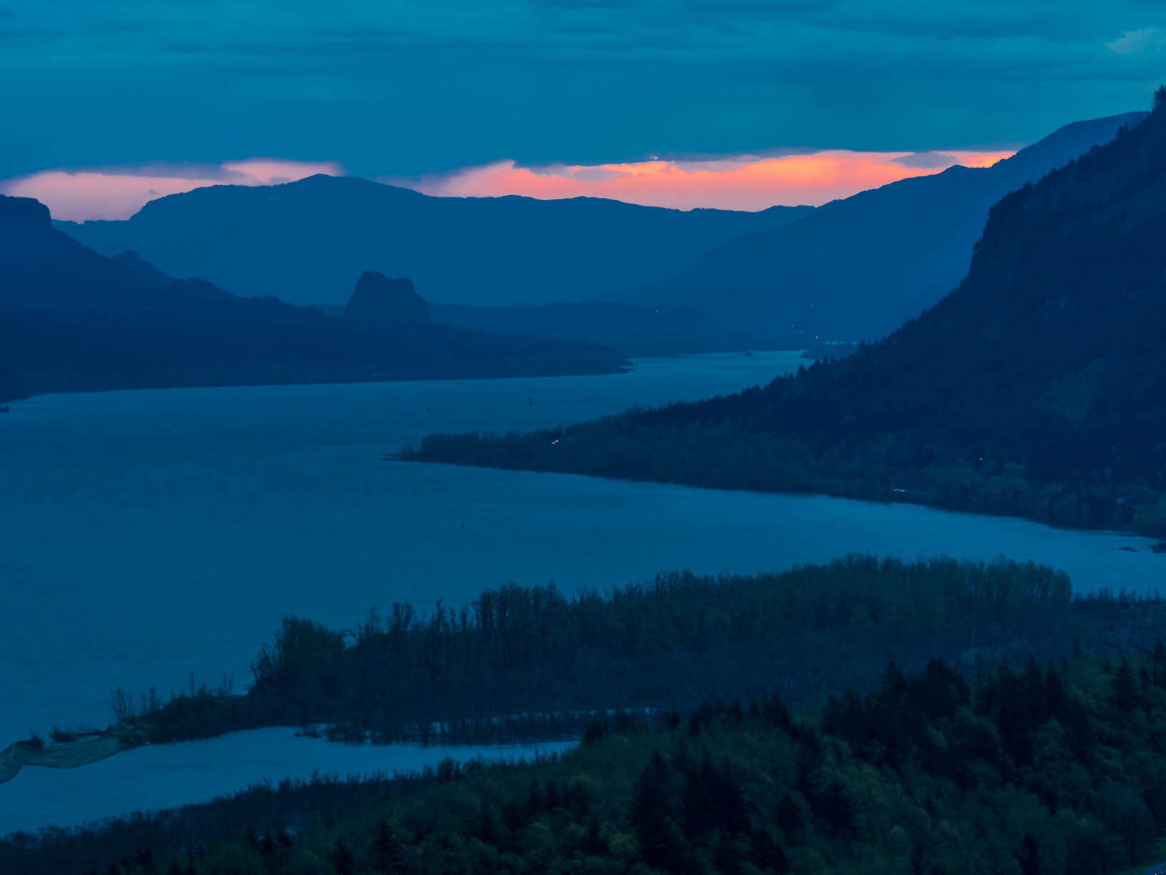
Roll on, Columbia, roll on
Lush Green Colors Along the Bridal Veil Creek

Stormy day in Columbia River Gorge_MG_3619.jpg

A Setting of Trees Along the Sandy River
Standing on Shepperd’s Dell Bridge
Just living is not enough... one must have sunshine, freedom, and a little flower…
Vista House ~Oregon State ~ Columbia Gorge ~ My Old Photo

Angels Rest Columbia River View
Vista House ~Oregon State ~ Columbia Gorge ~ My Old Photo
Crown Point

Vista House ~Oregon State ~ Columbia Gorge ~ My Old Photo

they think like me, cool...

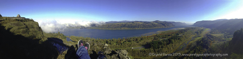
"Columbia River Panorama"

Historic Highway, Autumn Study #1
It Became a Mission

Rainbow in the Columbia River Gorge
Columbia Gorge - Latourell Falls (#0471)

Crown Point

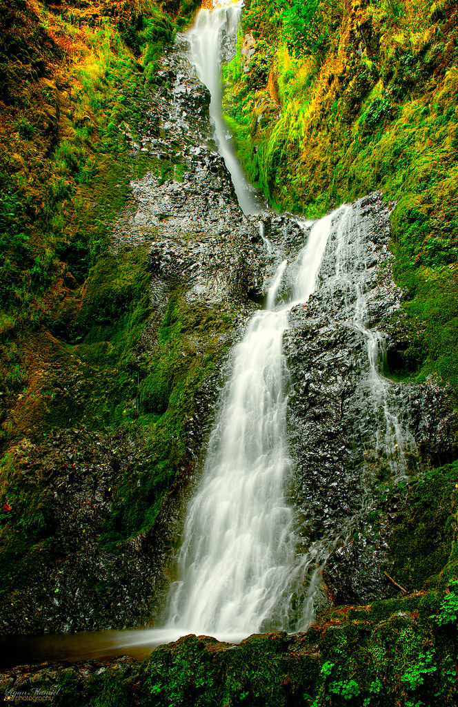
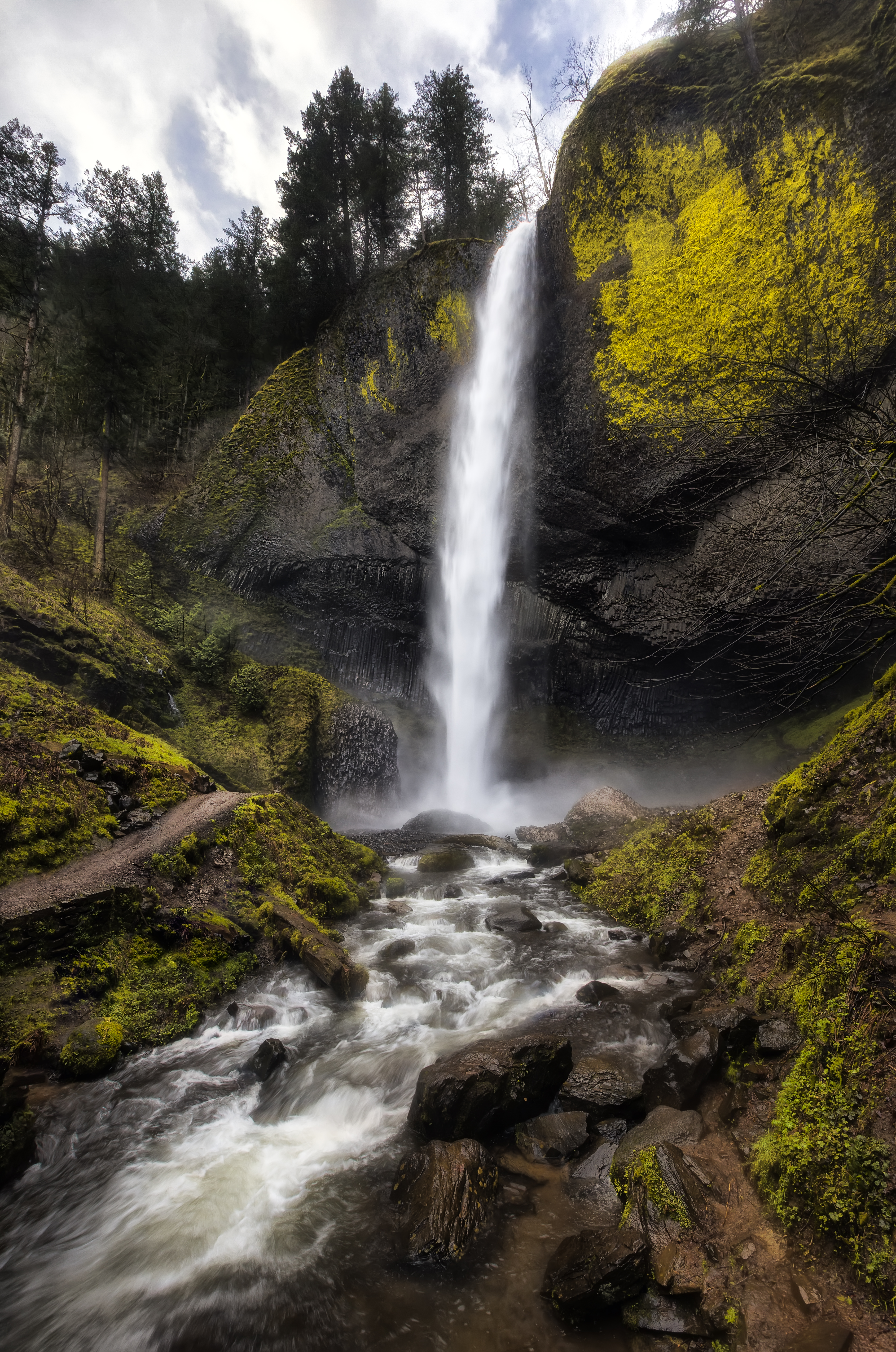
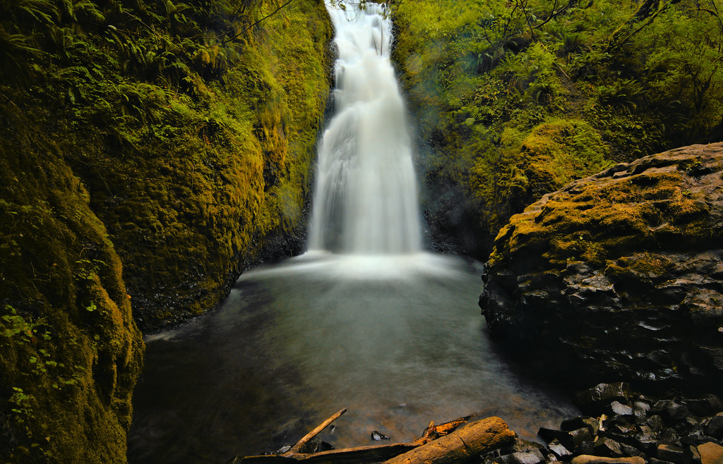
Mystical Waterfall
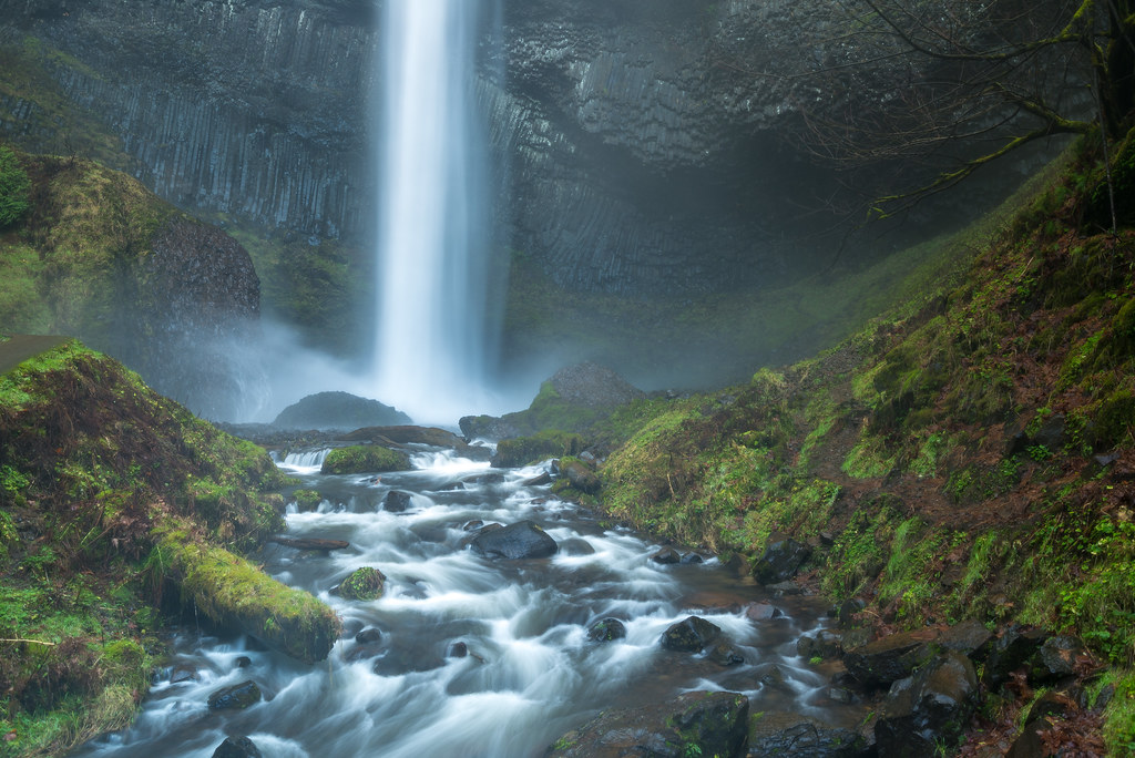
Lower Latourell Falls, Multnomah / Columbia River Gorge, Oregon, USA

Row Row Row your boat...
Broad is the Way that Leadeth to Destruction
Sunrise On The Columbia River
Top Of The World

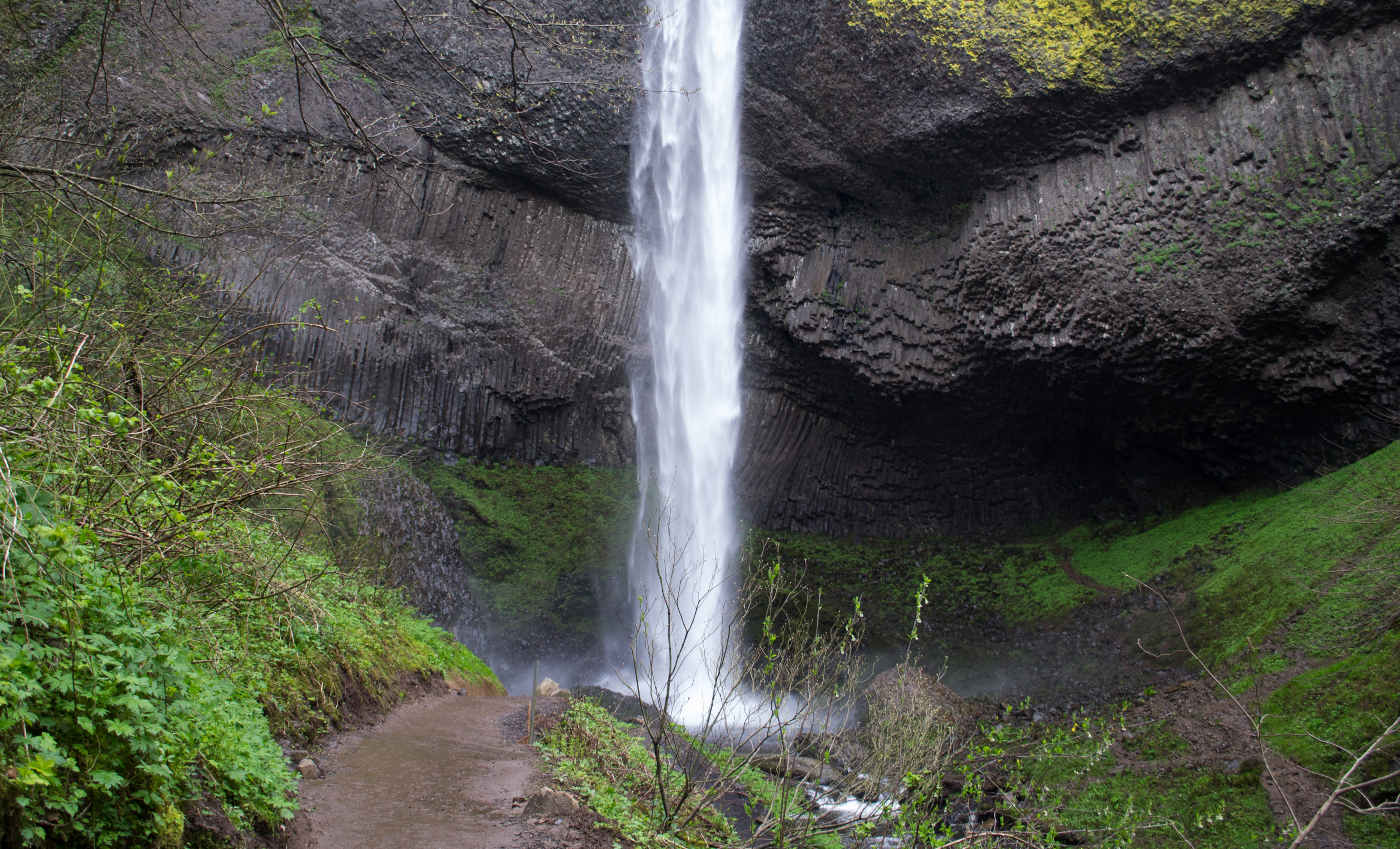
Latourell Falls
Beacon Rock and Vista House
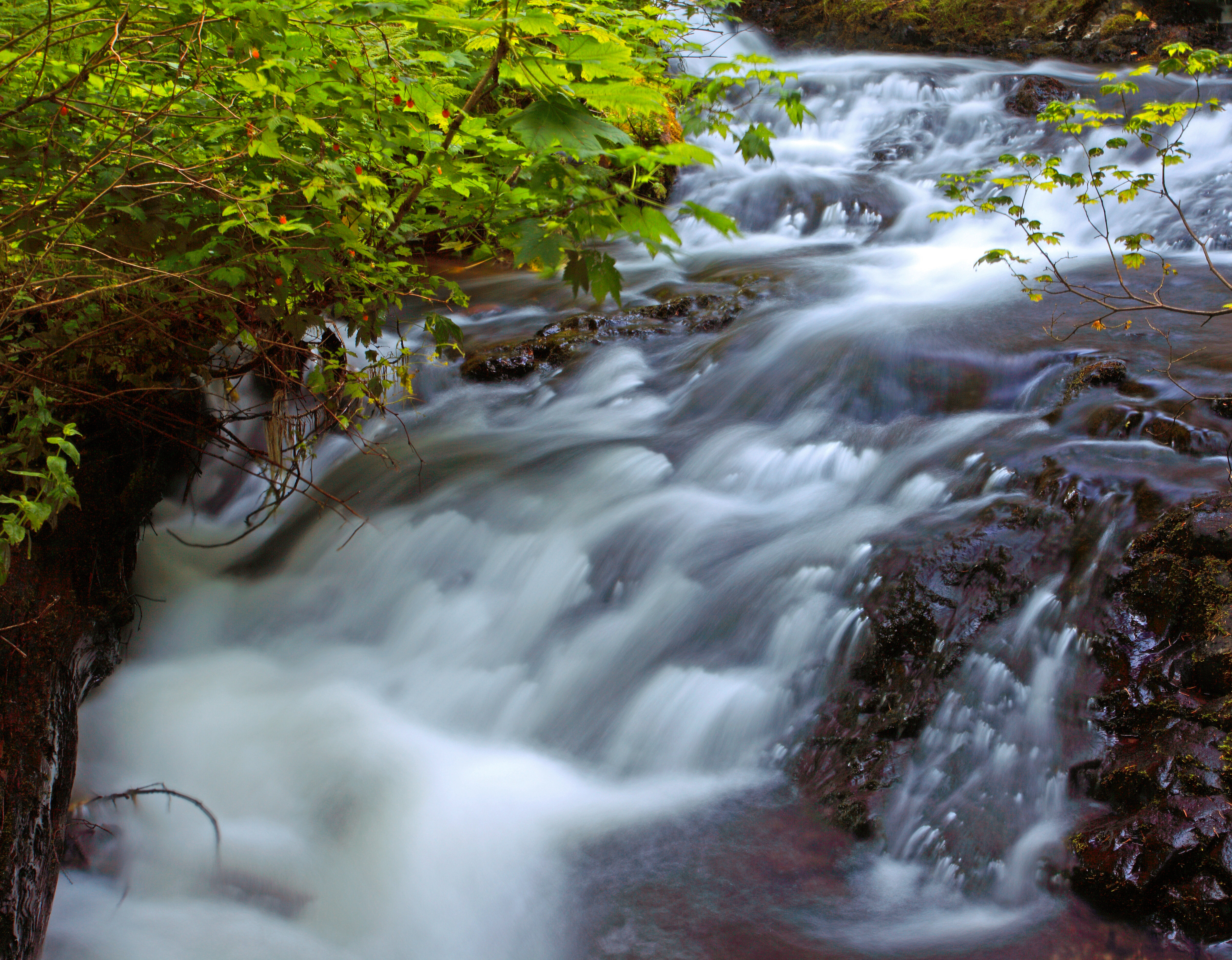
Latourell Creek
Latourell Falls - Oregon
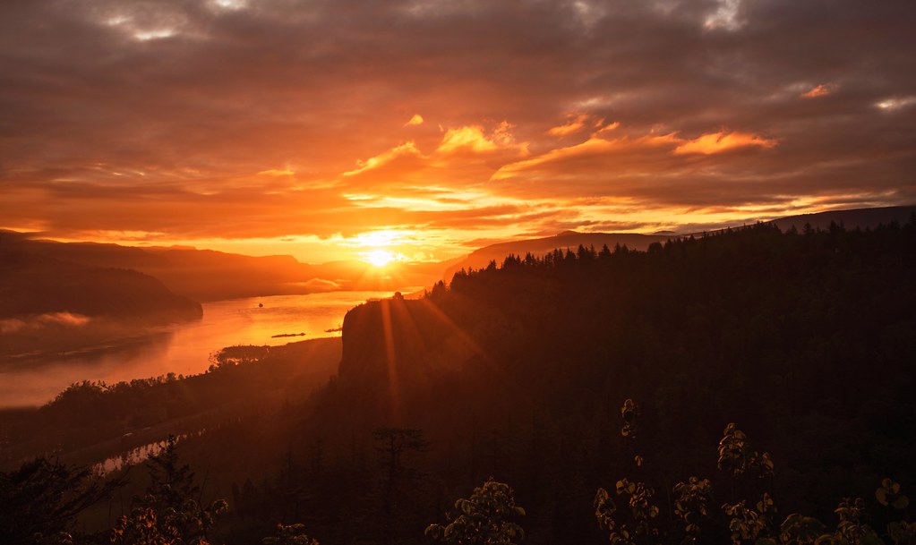
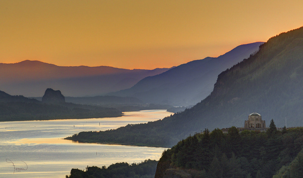
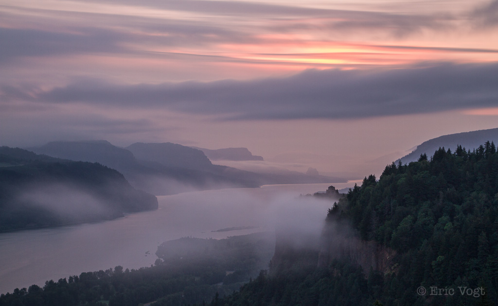
Sunrise at Columbia Gorge
P4190116.jpg
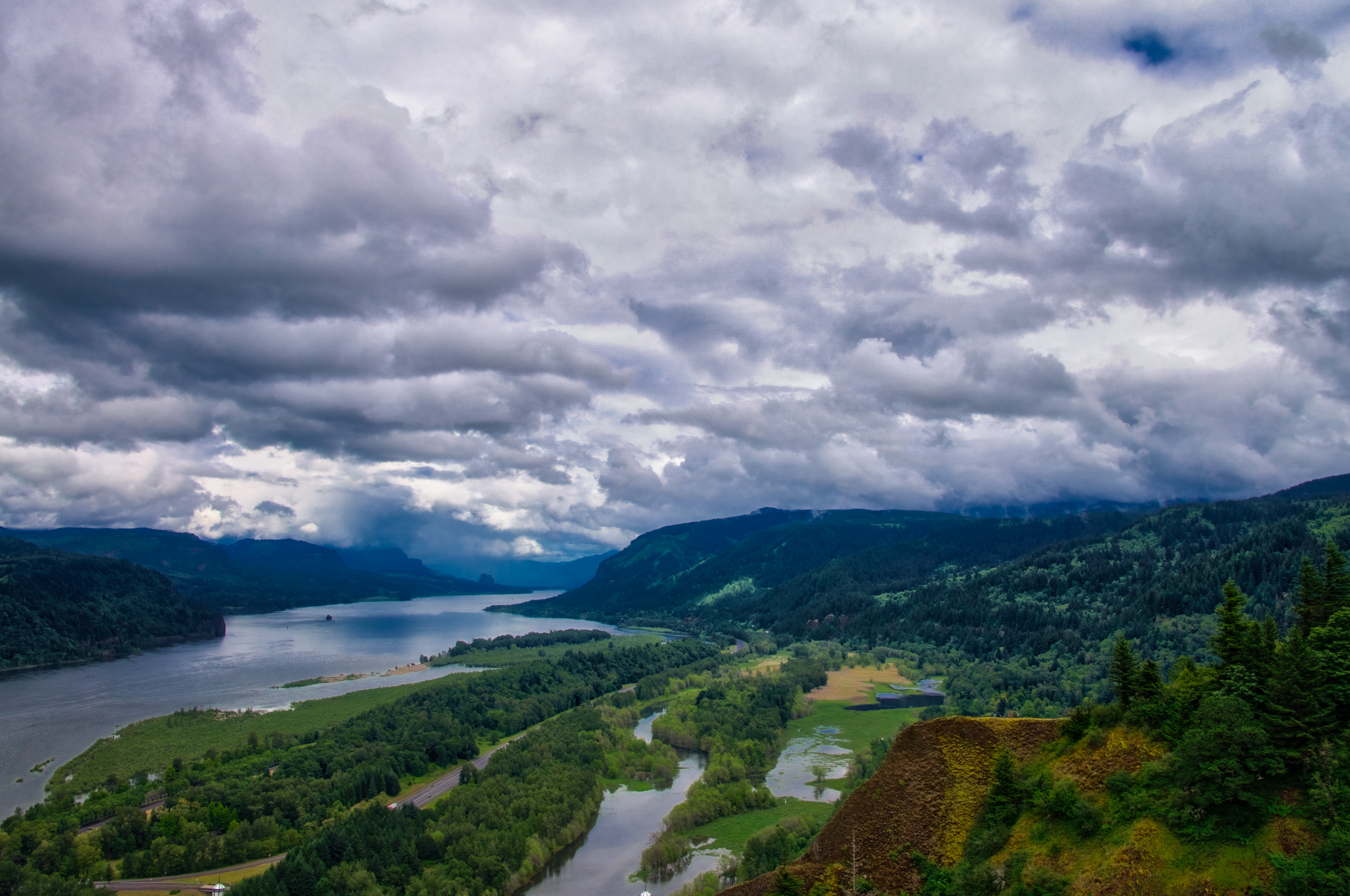
Gorge Storm Sky
P4190124.jpg
Vista's Morning Break
Conceivably Cretaceous

Vista House
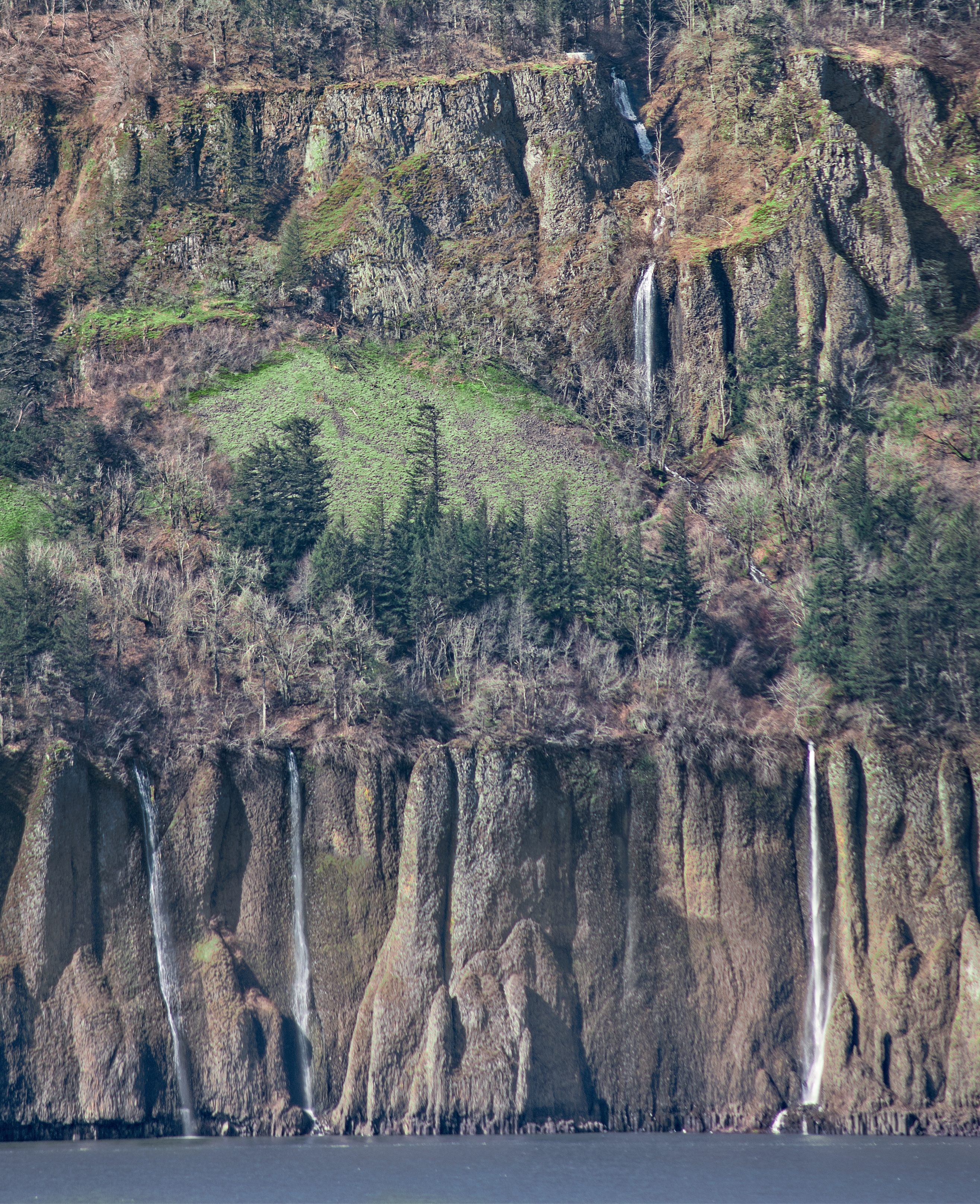
Cape Horn Falls 67 D
Topographic Map of N T St, Washougal, WA, USA
Find elevation by address:

Places near N T St, Washougal, WA, USA:
1505 N T St
1505 N T St
1505 N T St
1497 N Columbia Ridge Way
1597 N Columbia Ridge Way
1310 N S St
1897 N Columbia Ridge Way
2110 N Q St
Washougal
551 Stonegate Dr
551 Stonegate Dr
Downtown
29800 Se 30th St
1801 Main St
420 N Y St
1913 Se 303rd Ave
2505 N Y St
233 Stoop
2443 N 3rd St
639 C St
Recent Searches:
- Elevation of 72-31 Metropolitan Ave, Middle Village, NY, USA
- Elevation of 76 Metropolitan Ave, Brooklyn, NY, USA
- Elevation of Alisal Rd, Solvang, CA, USA
- Elevation of Vista Blvd, Sparks, NV, USA
- Elevation of 15th Ave SE, St. Petersburg, FL, USA
- Elevation of Beall Road, Beall Rd, Florida, USA
- Elevation of Leguwa, Nepal
- Elevation of County Rd, Enterprise, AL, USA
- Elevation of Kolchuginsky District, Vladimir Oblast, Russia
- Elevation of Shustino, Vladimir Oblast, Russia