Elevation of N Short Rd, Deer Park, WA, USA
Location: United States > Washington > Spokane County > Deer Park >
Longitude: -117.47794
Latitude: 48.0307375
Elevation: 691m / 2267feet
Barometric Pressure: 93KPa
Elevation Map:
Satellite Map:
Related Photos:
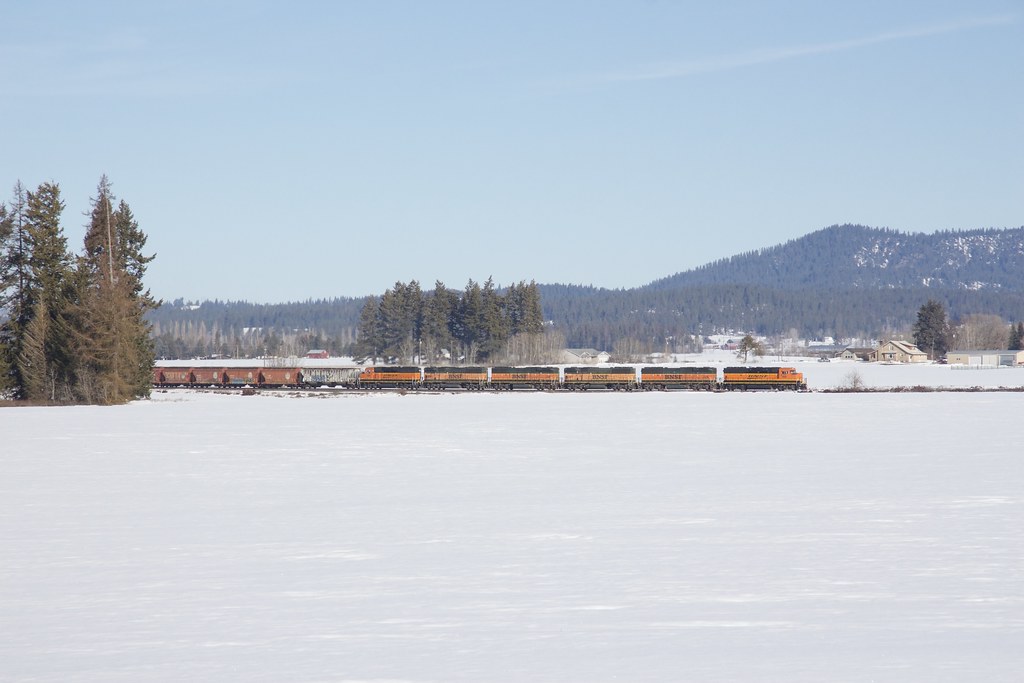
Across the Snowy Field...

Blue and Beautiful

Will you catch me when I fall? or will we rise above it all?

20120908_192652_115264And8more_tonemapped-X3

foggy morning

Sunflower Field really was a gas...

Horse Shoe Lake, Washington

The moving weather
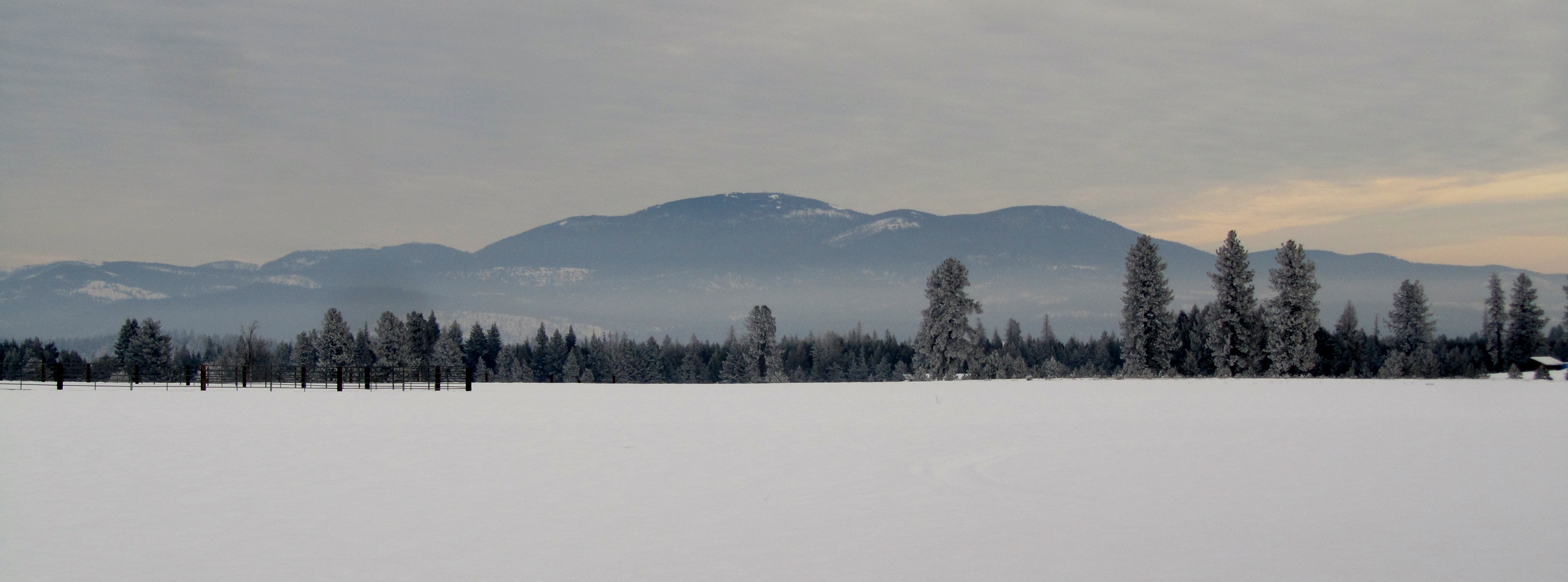
Mt. Spokane in January

Springtime in the country

a flying jewel

cutting wheat in WA

Antler Road

P2015-05-26 11.35.02

US 2
Topographic Map of N Short Rd, Deer Park, WA, USA
Find elevation by address:

Places near N Short Rd, Deer Park, WA, USA:
3620 W Oregon Rd
4550 Amber Way
31 N Main St, Deer Park, WA, USA
Deer Park
Clayton
N Lake Shore Rd, Elk, WA, USA
4638 Gibson Dahl Rd
5254 Casberg-burroughs Rd
4104 Ali Vista Way
42112 N Newport Hwy
42112 N Newport Hwy
4339 Grote Rd
42112 N Newport Hwy
East Oregon Road
26826 N Spotted Rd
Classic Lane
Loon Lake
N Spotted Rd, Deer Park, WA, USA
30 W Wild Rose Rd
22812 N Wayside Ln
Recent Searches:
- Elevation of 72-31 Metropolitan Ave, Middle Village, NY, USA
- Elevation of 76 Metropolitan Ave, Brooklyn, NY, USA
- Elevation of Alisal Rd, Solvang, CA, USA
- Elevation of Vista Blvd, Sparks, NV, USA
- Elevation of 15th Ave SE, St. Petersburg, FL, USA
- Elevation of Beall Road, Beall Rd, Florida, USA
- Elevation of Leguwa, Nepal
- Elevation of County Rd, Enterprise, AL, USA
- Elevation of Kolchuginsky District, Vladimir Oblast, Russia
- Elevation of Shustino, Vladimir Oblast, Russia