Elevation of N Rd, Bethel, VT, USA
Location: United States > Vermont > Windsor County > Bethel >
Longitude: -72.623047
Latitude: 43.806282
Elevation: 326m / 1070feet
Barometric Pressure: 97KPa
Elevation Map:
Satellite Map:
Related Photos:
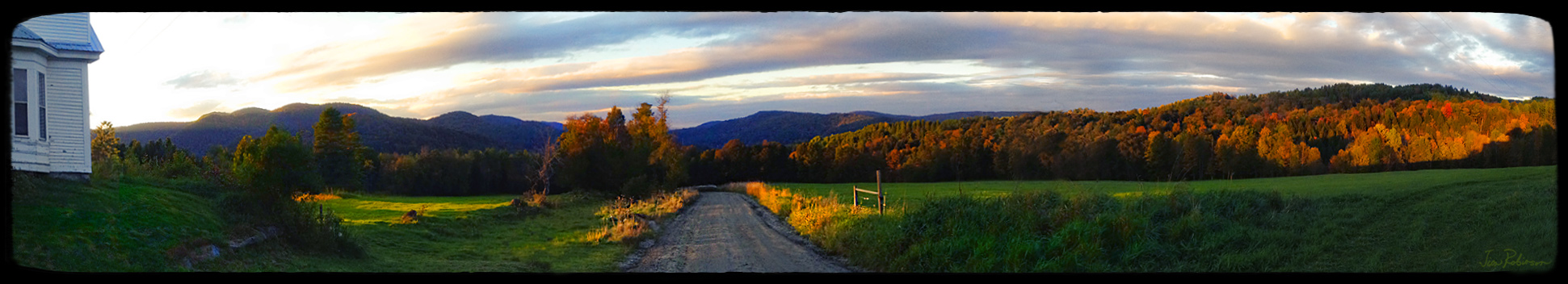
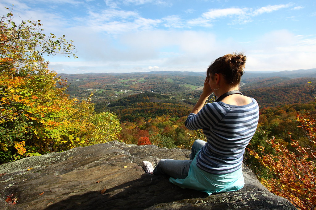
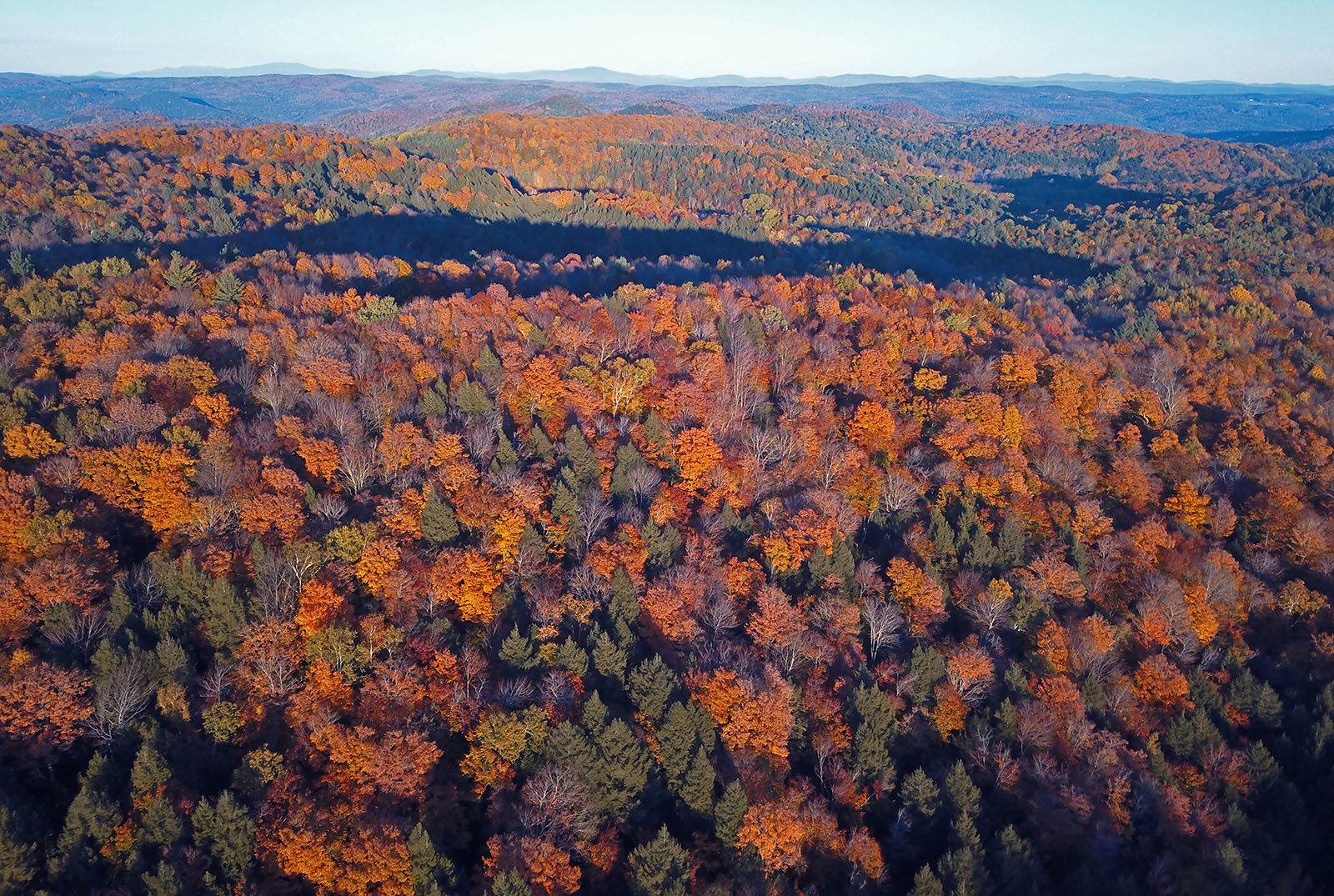
Room with an Autumnal View

Yellow Caterpillar; Orgyia definita?

May your trails be crooked, winding, lonesome, dangerous, leading to the most amazing view. May your mountains rise into and above the clouds. ~ Edward Abbey Brazilian Quartz Point Shop link in profile Namasté -------#healing #healingcrystals #healings
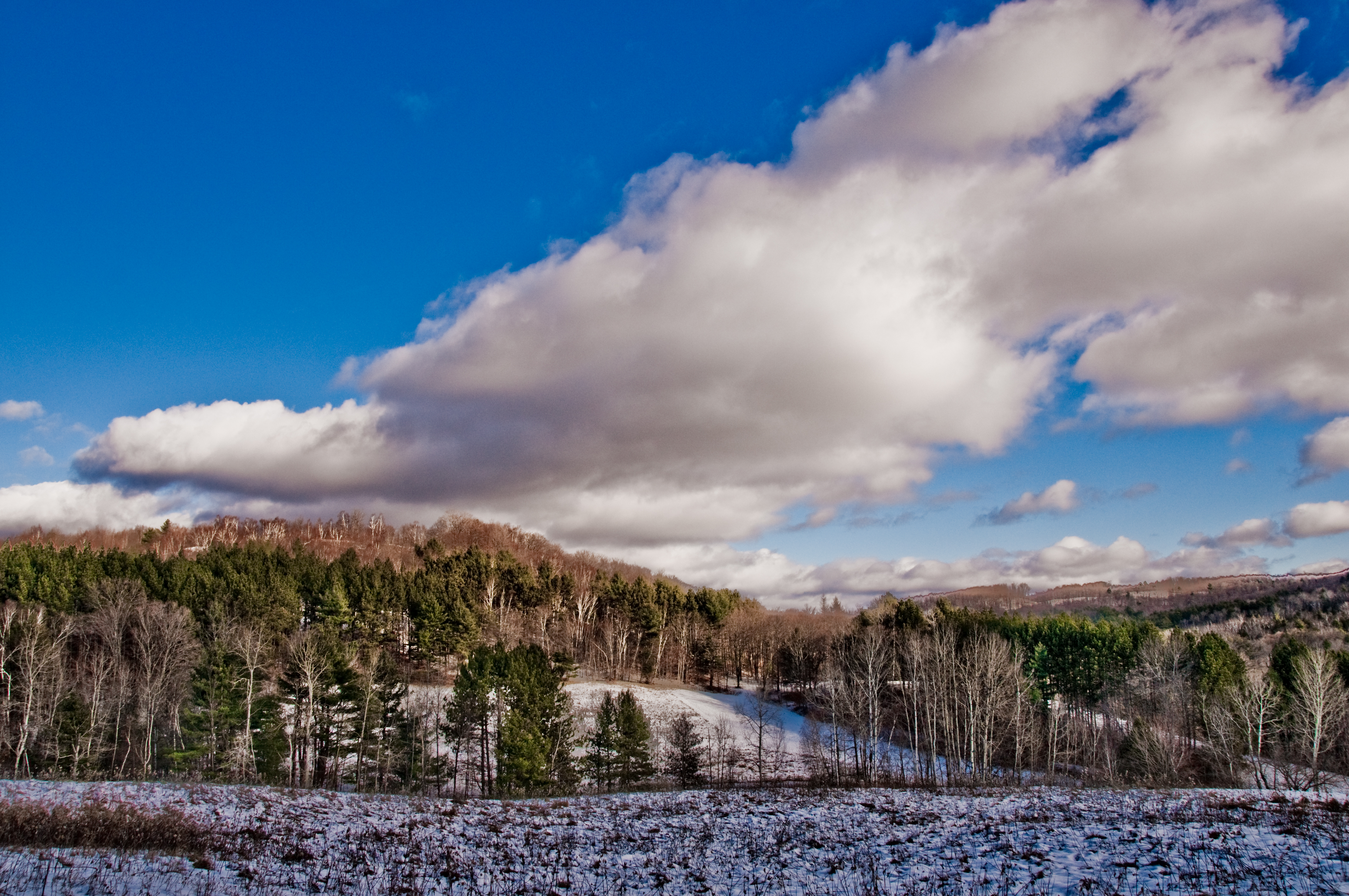
Vermont Winter Landscape
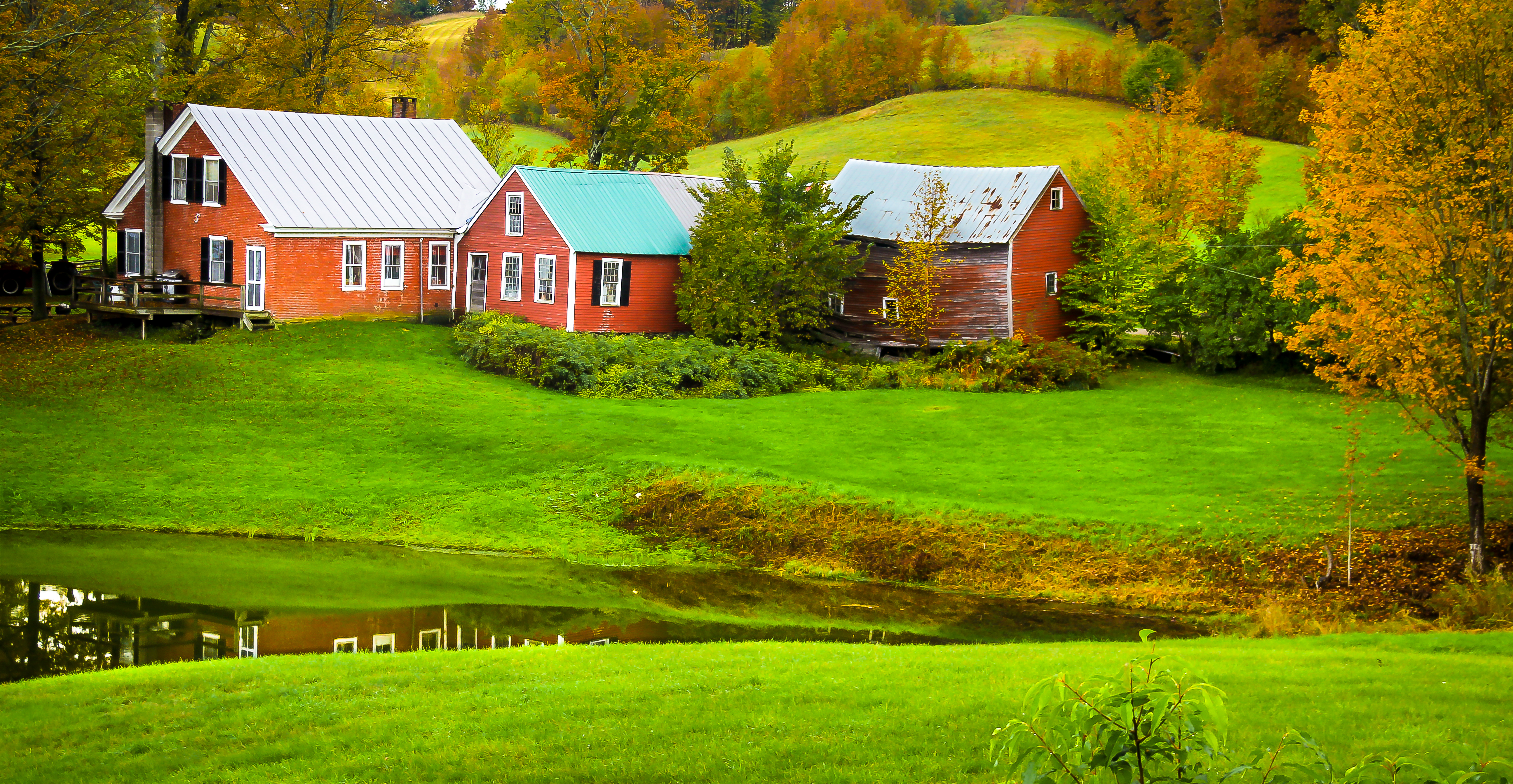
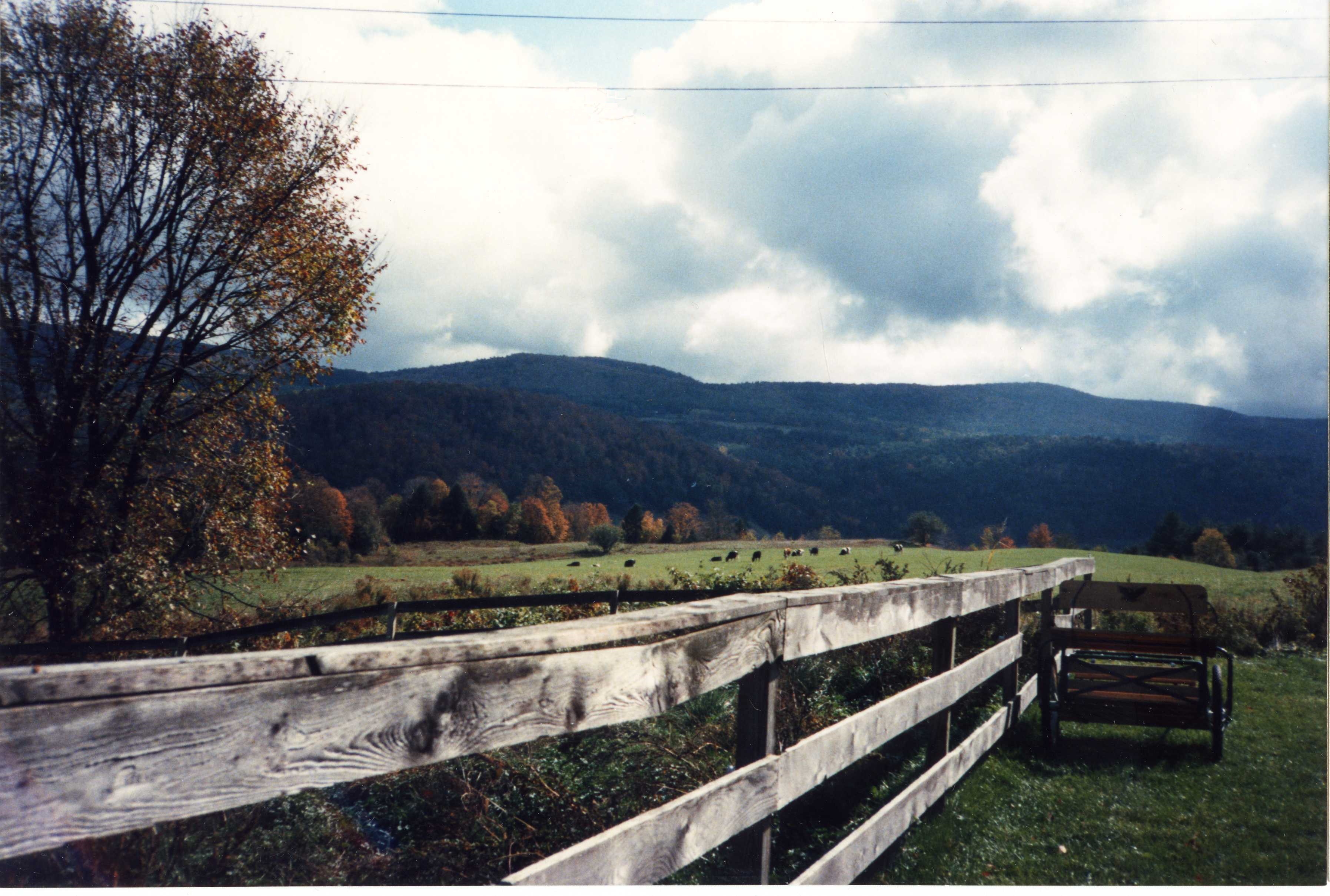
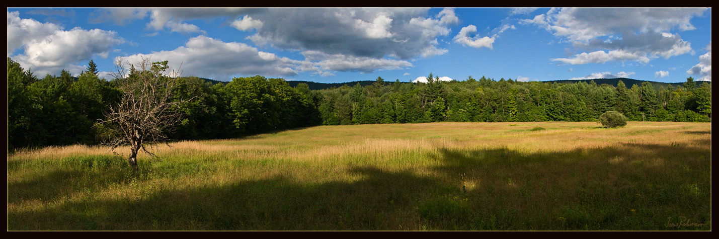
Jenny Farm Vermont
Views from the Bogburn
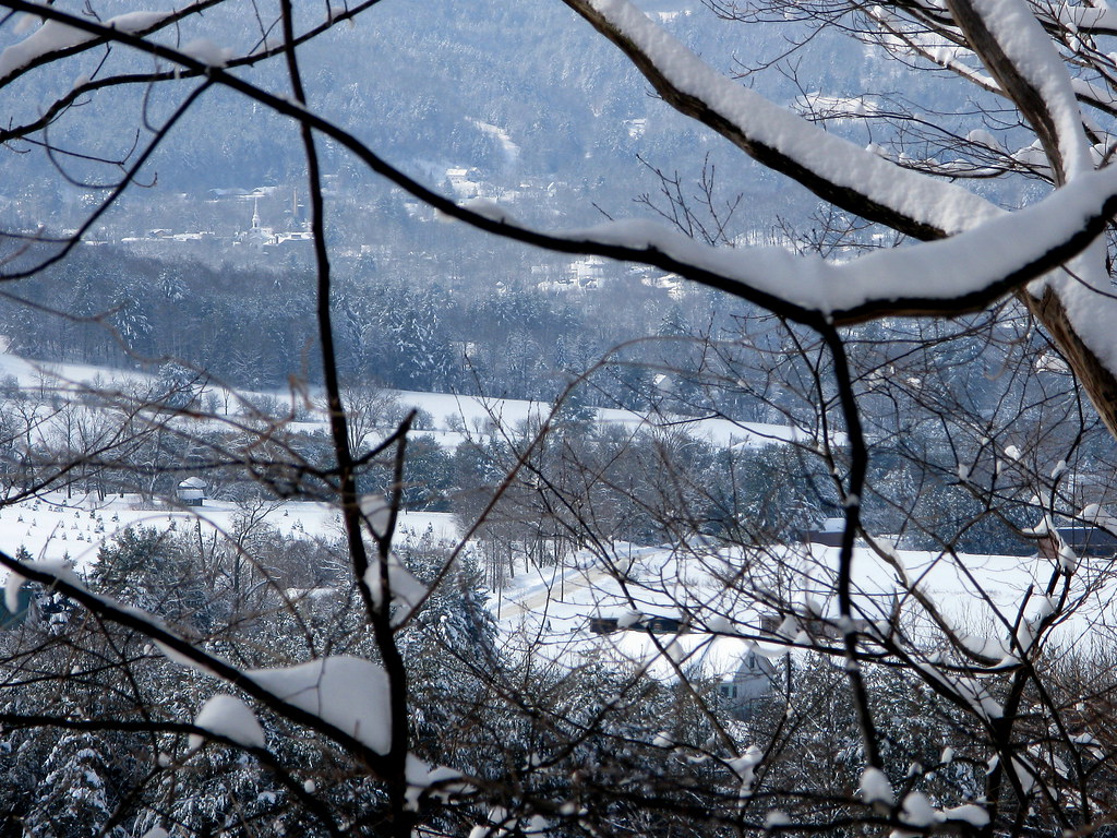
View Through The Trees
Blue Goose Farm View

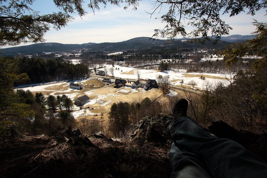
Nearing The Ledge
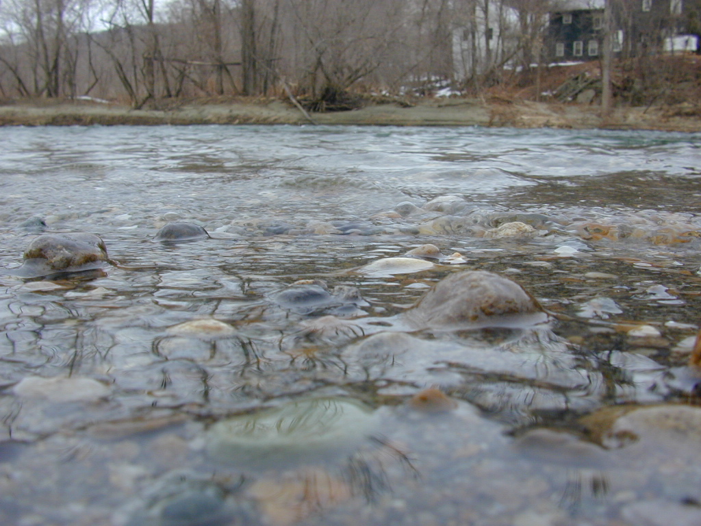
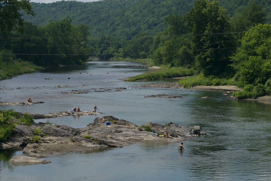
River-level view
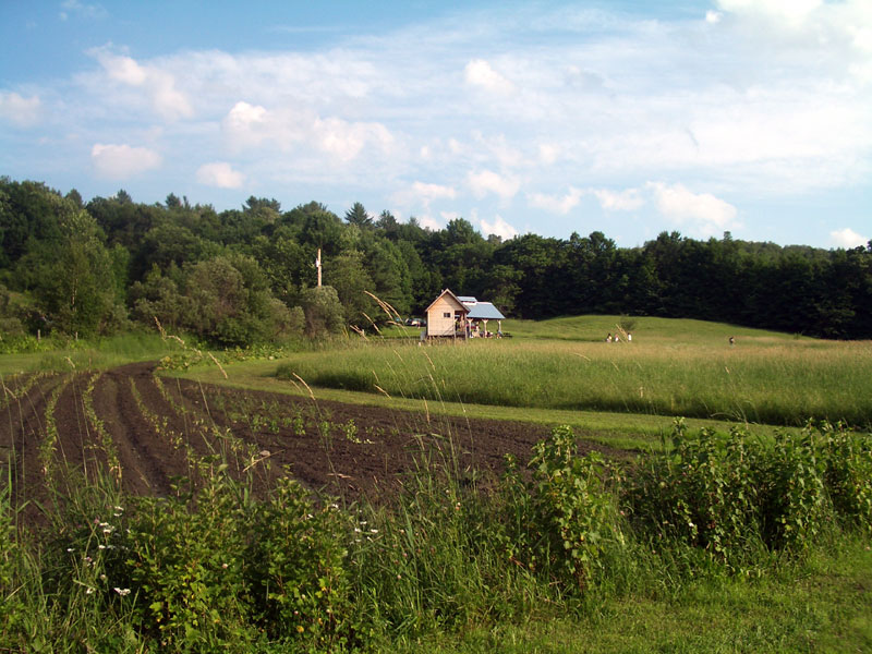
Uphill View of the Farm
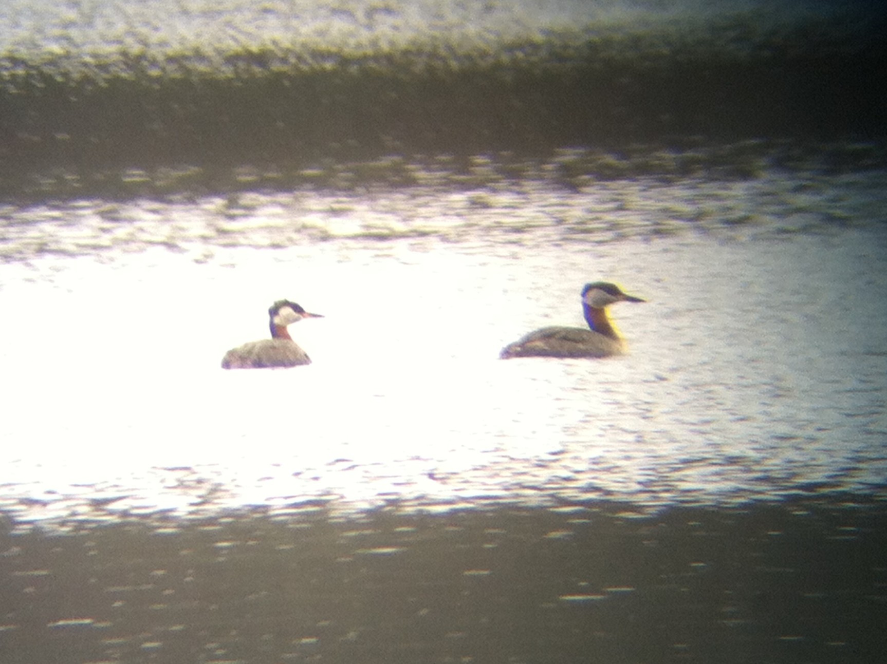
Red-necked Grebe, Silver Lake, Barnard, VT, 26-Apr-2014
Taking A Picture Up On Kent's Ledge
White River Summer
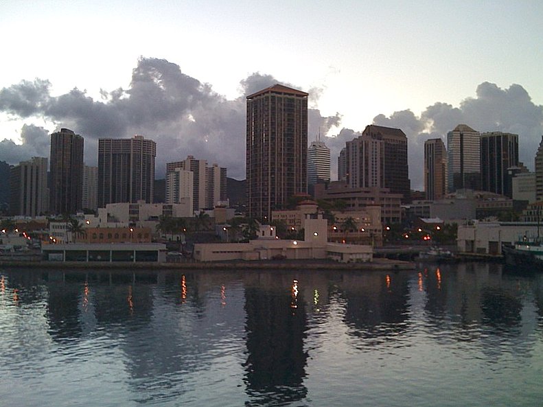
honolulu, early morning

Happy 30th Birthday, Greg!
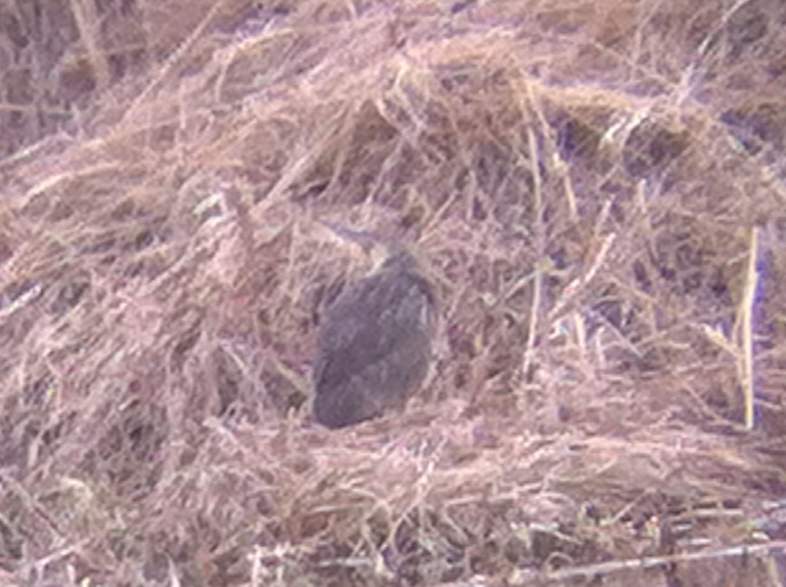
American Bittern, North Rd., Barnard, VT, 21-Apr-2014
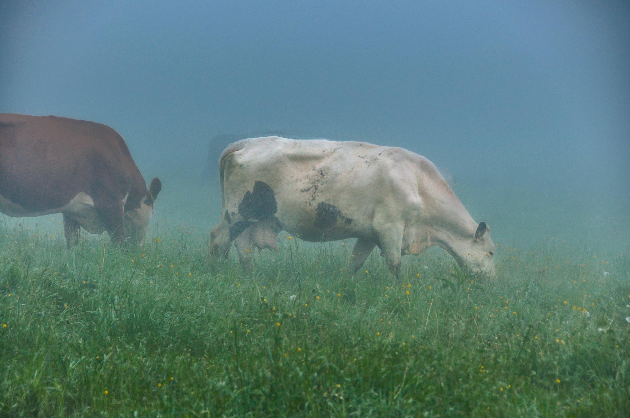
Good Place For An Afternoon Nap
White White River
My Favourite View
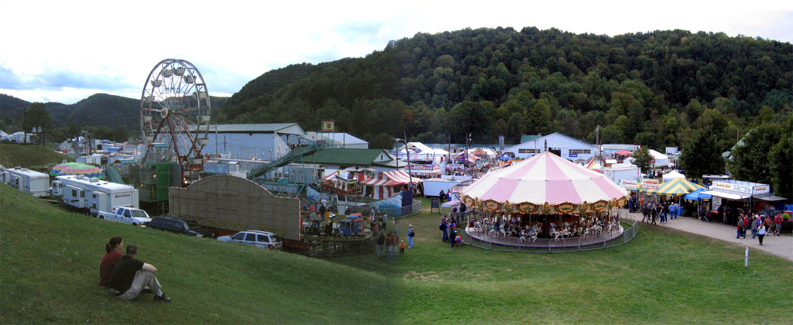
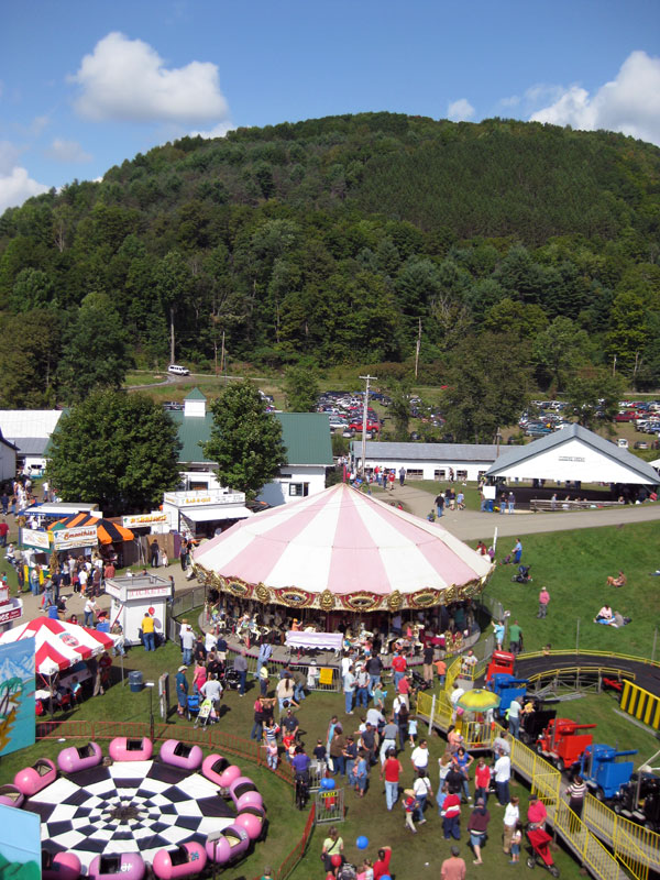
2007 Tunbridge World's Fair
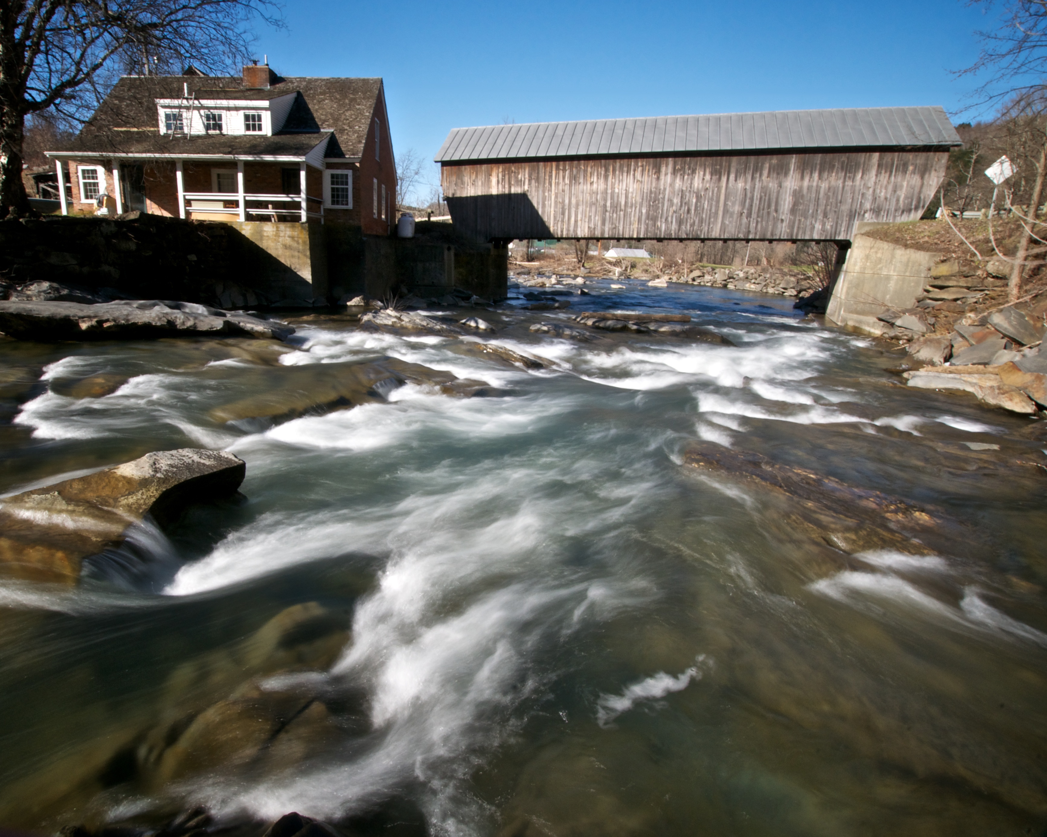
Mill Covered Bridge
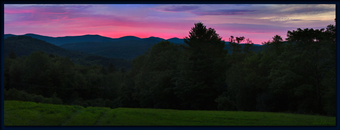
the After Glow
Looking Southeast at Sunset

0E3A8258.jpg
an August field next to Rochester,VT
D51-6360
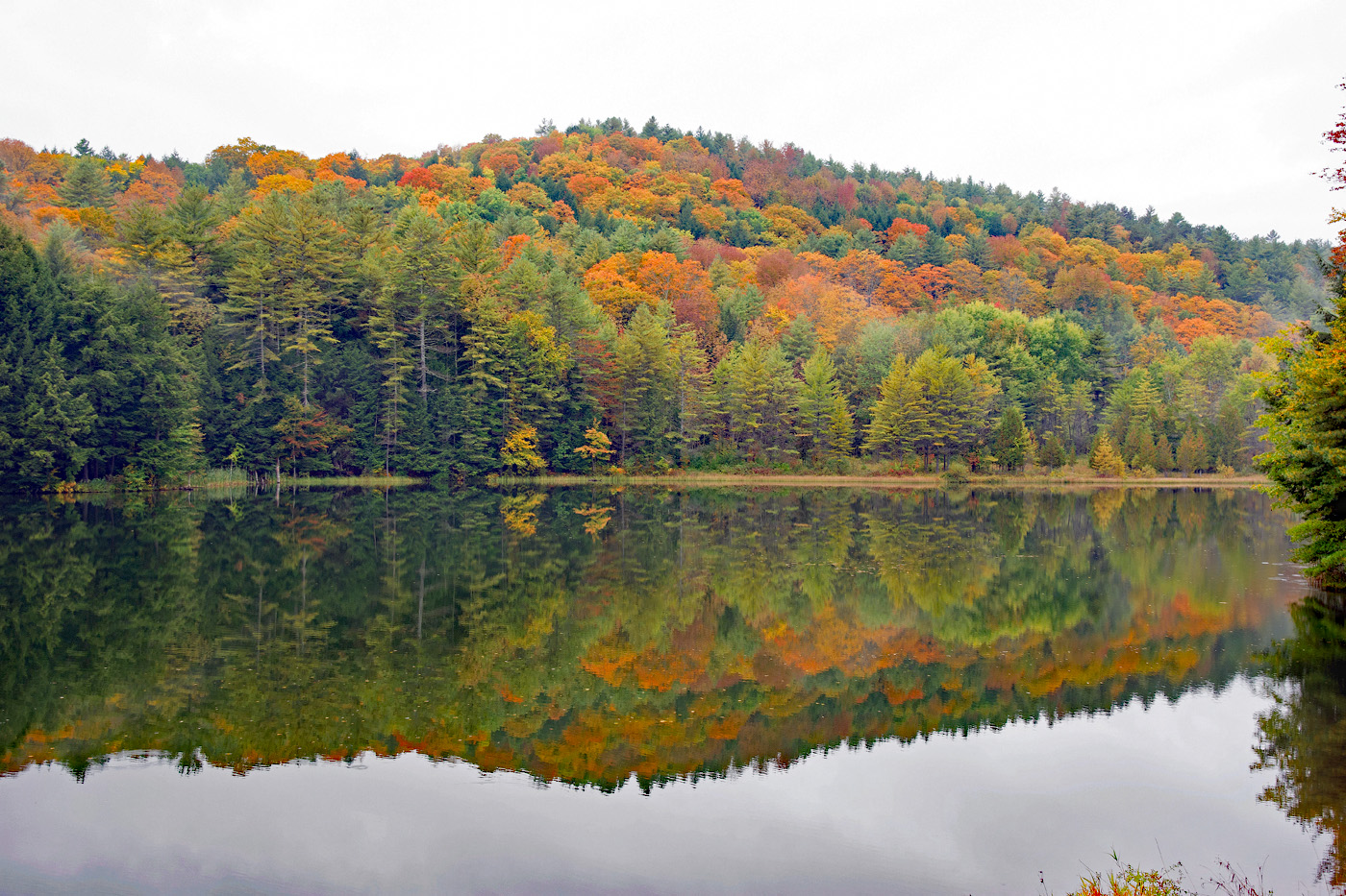
Vermont foliage

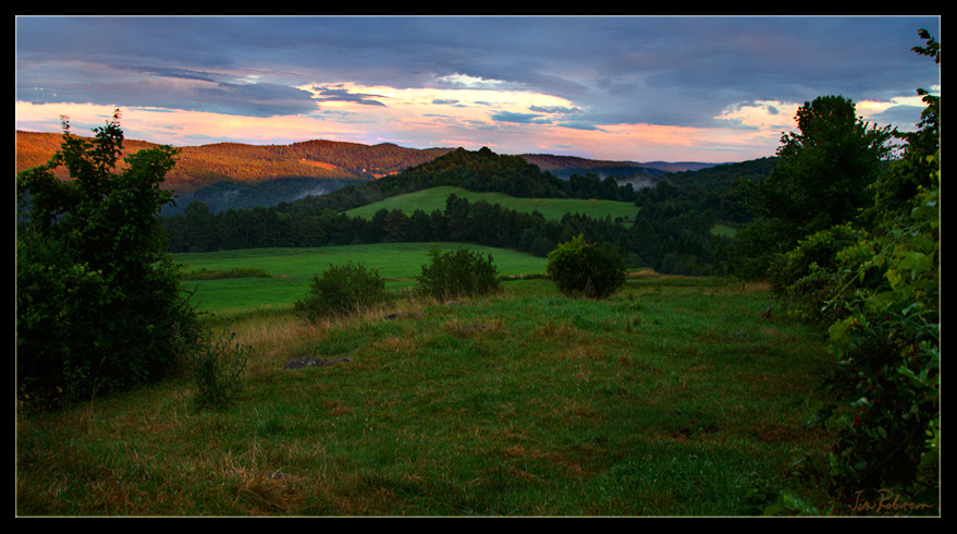
Pomfret Hills
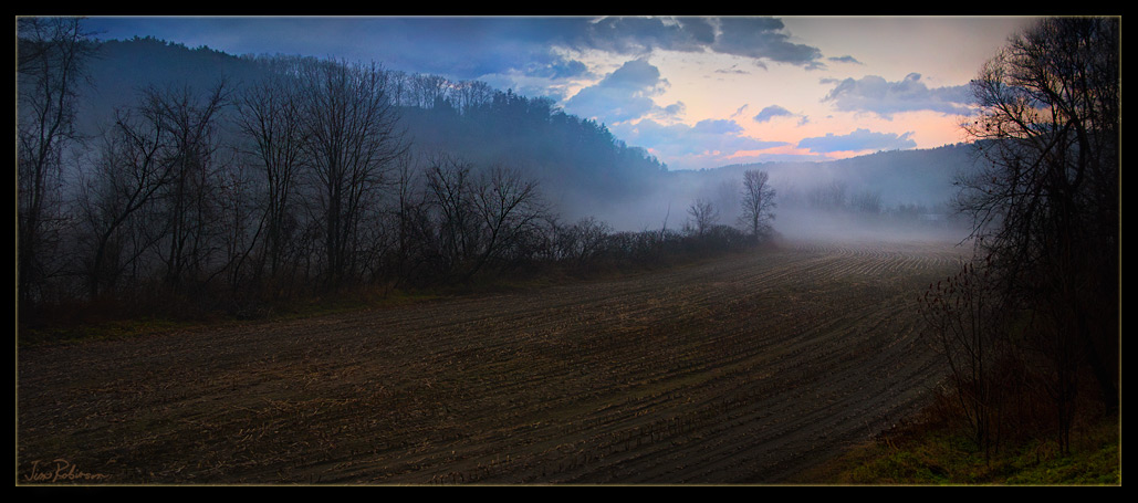
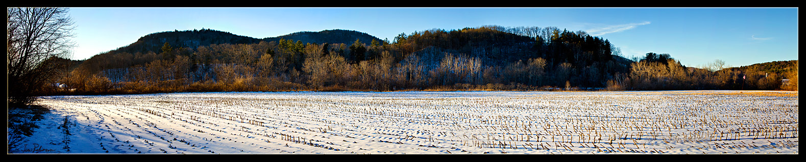
Early Evening Cornfield in November
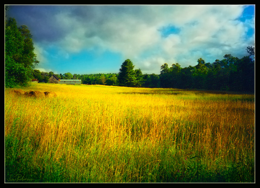
Late August Fields in Vermont
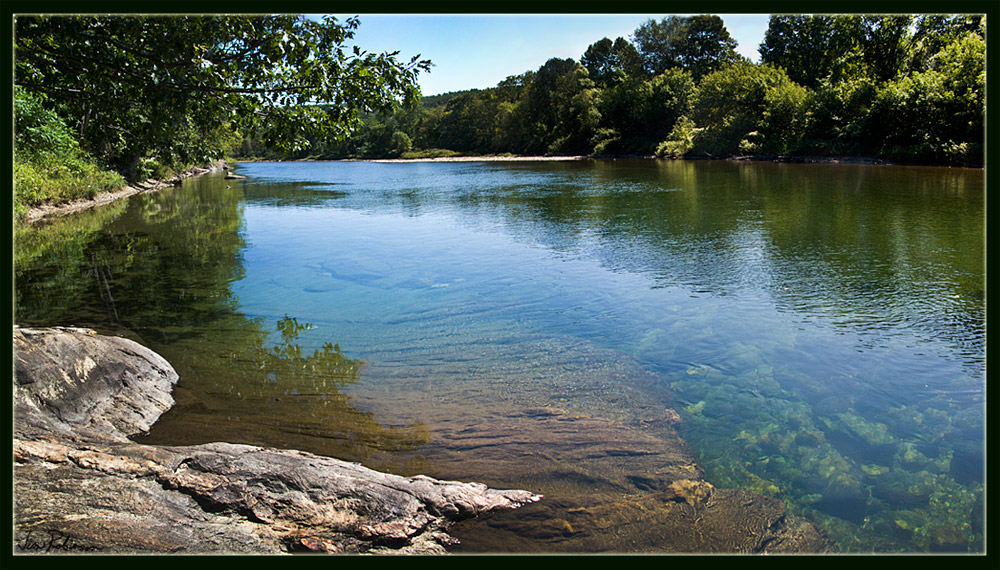
the White River - Green
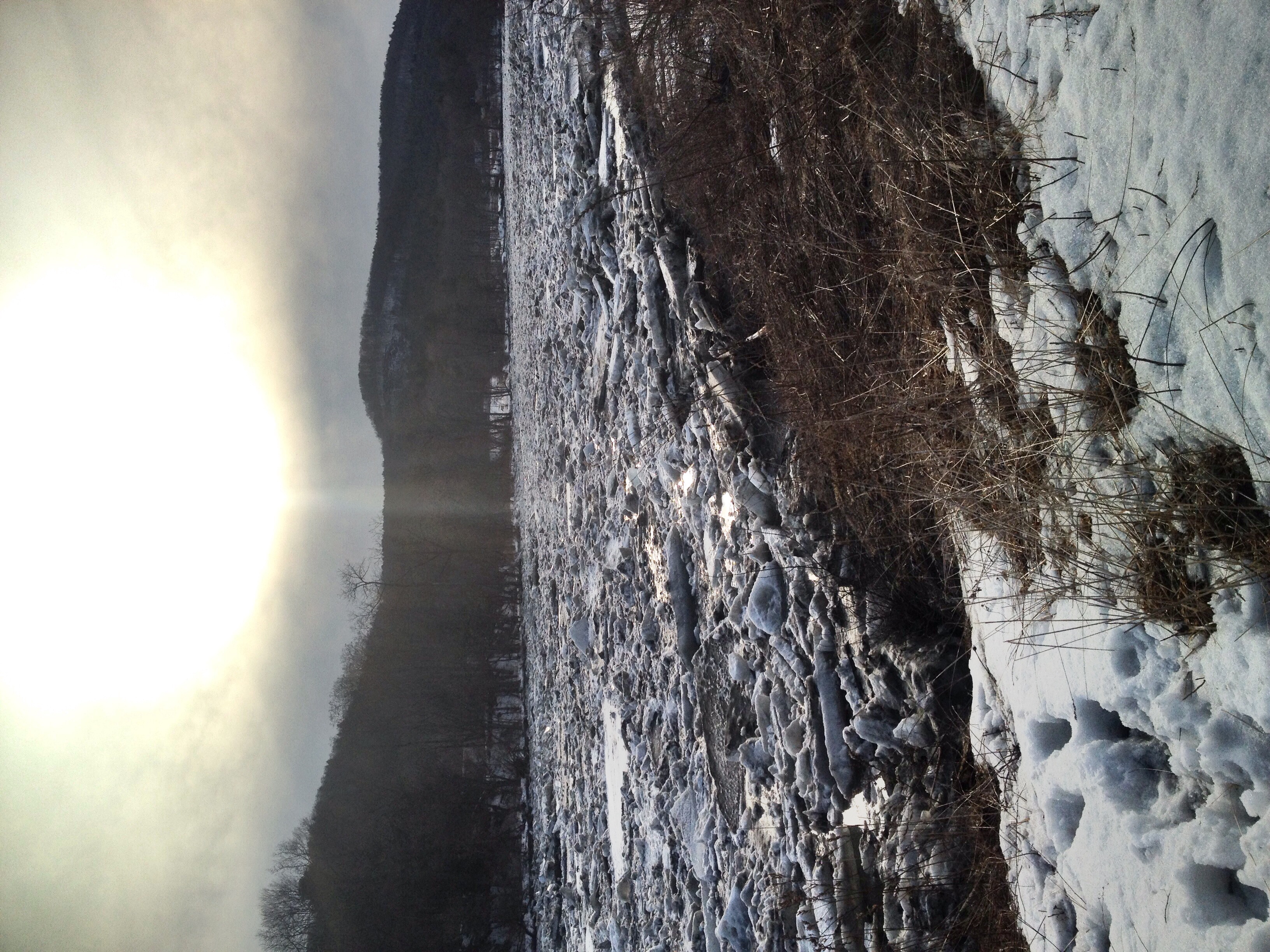
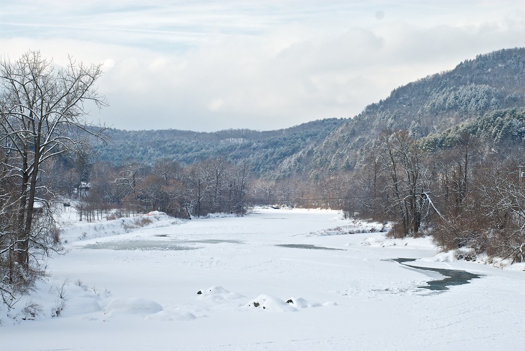
Ice jam on the White River

2017-09-15_09-27-56
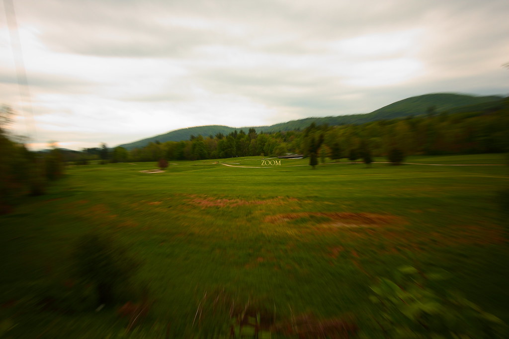
In Zoom
December Cornfield
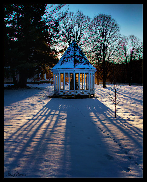
a Gazebo in the Winter

2013 Foliage_21
McIntosh Pond

1042 Twin Farms VT-001.jpg

Sunrise in Randolph, VT 4 of 7
Topographic Map of N Rd, Bethel, VT, USA
Find elevation by address:

Places near N Rd, Bethel, VT, USA:
389 N Rd
337 S Main St
54 Christian Hill Rd
White River
Bethel
Bethel Mills
250 Pleasant St
273 Pleasant St
Whitcomb Jr Sr High School
367 Stackpole Rd
3759 Royalton Turnpike
6416 Vt-107
2546 Christian Hill Rd
VT-14, South Royalton, VT, USA
4919 Vt-14
40 Olmstead Rd
75 Lyon Rd
Royalton
4301 Pleasant St
113 Meadow Ln
Recent Searches:
- Elevation of Lumagwas Diversified Farmers Multi-Purpose Cooperative, Lumagwas, Adtuyon, RV32+MH7, Pangantucan, Bukidnon, Philippines
- Elevation of Homestead Ridge, New Braunfels, TX, USA
- Elevation of Orchard Road, Orchard Rd, Marlborough, NY, USA
- Elevation of 12 Hutchinson Woods Dr, Fletcher, NC, USA
- Elevation of Holloway Ave, San Francisco, CA, USA
- Elevation of Norfolk, NY, USA
- Elevation of - San Marcos Pass Rd, Santa Barbara, CA, USA
- Elevation of th Pl SE, Issaquah, WA, USA
- Elevation of 82- D Rd, Captain Cook, HI, USA
- Elevation of Harlow CM20 2PR, UK