Elevation of N Myrtle Rd, Myrtle Creek, OR, USA
Location: United States > Oregon > Douglas County > Myrtle Creek >
Longitude: -123.09539
Latitude: 43.135863
Elevation: 463m / 1519feet
Barometric Pressure: 96KPa
Elevation Map:
Satellite Map:
Related Photos:
White Castle IMG_0358
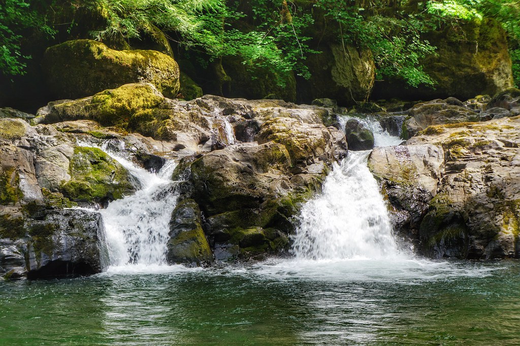
Cavitt Creek Falls
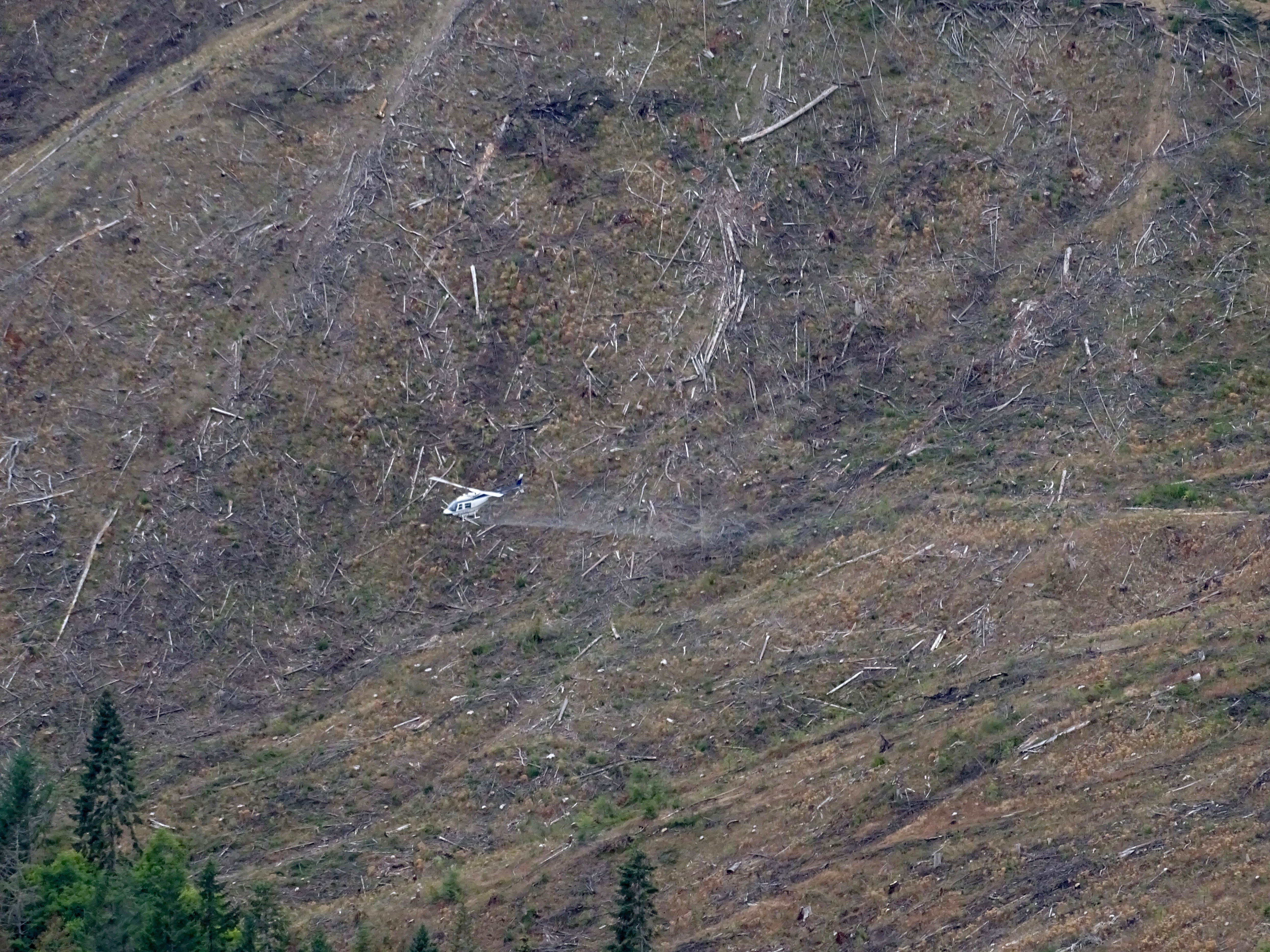
Seneca aerial spraying chemicals on their clearcut
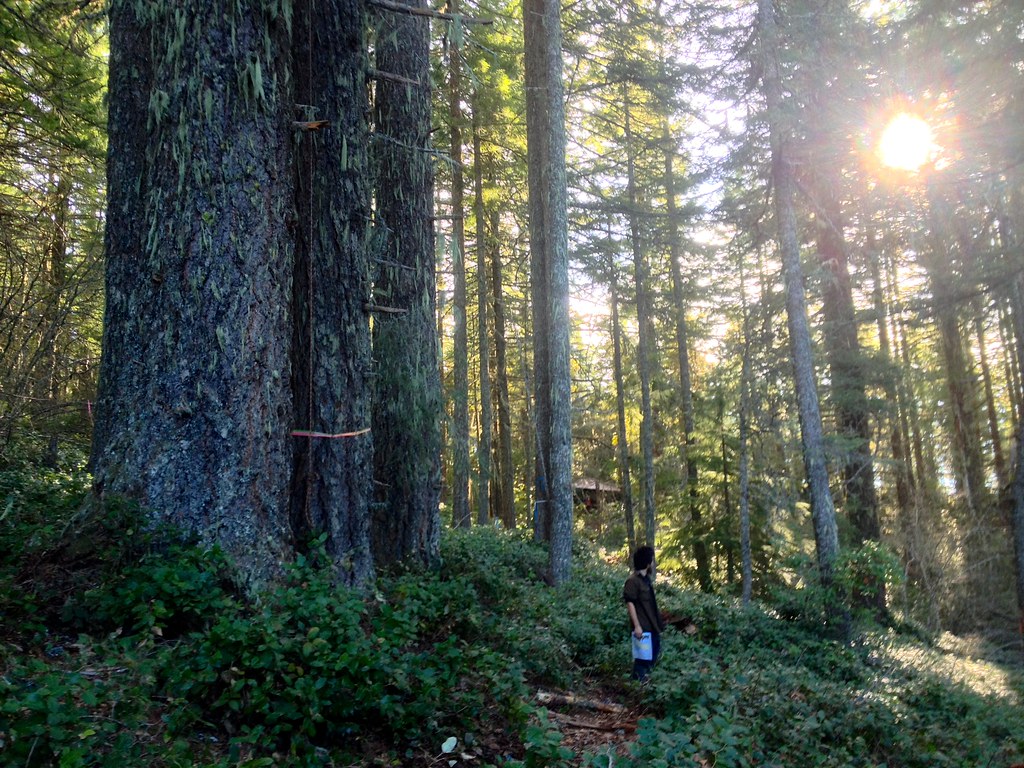
White Castle Pilot Project
White Castle tree sit.

BBLM forests in path of LNG pipeline
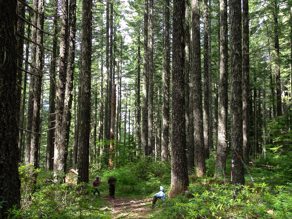
Public Forest near Days Creek

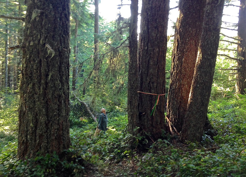
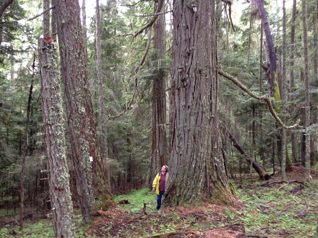
BLM old growth forest threatened
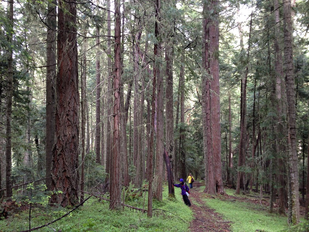
Forests near Days Creek oregon
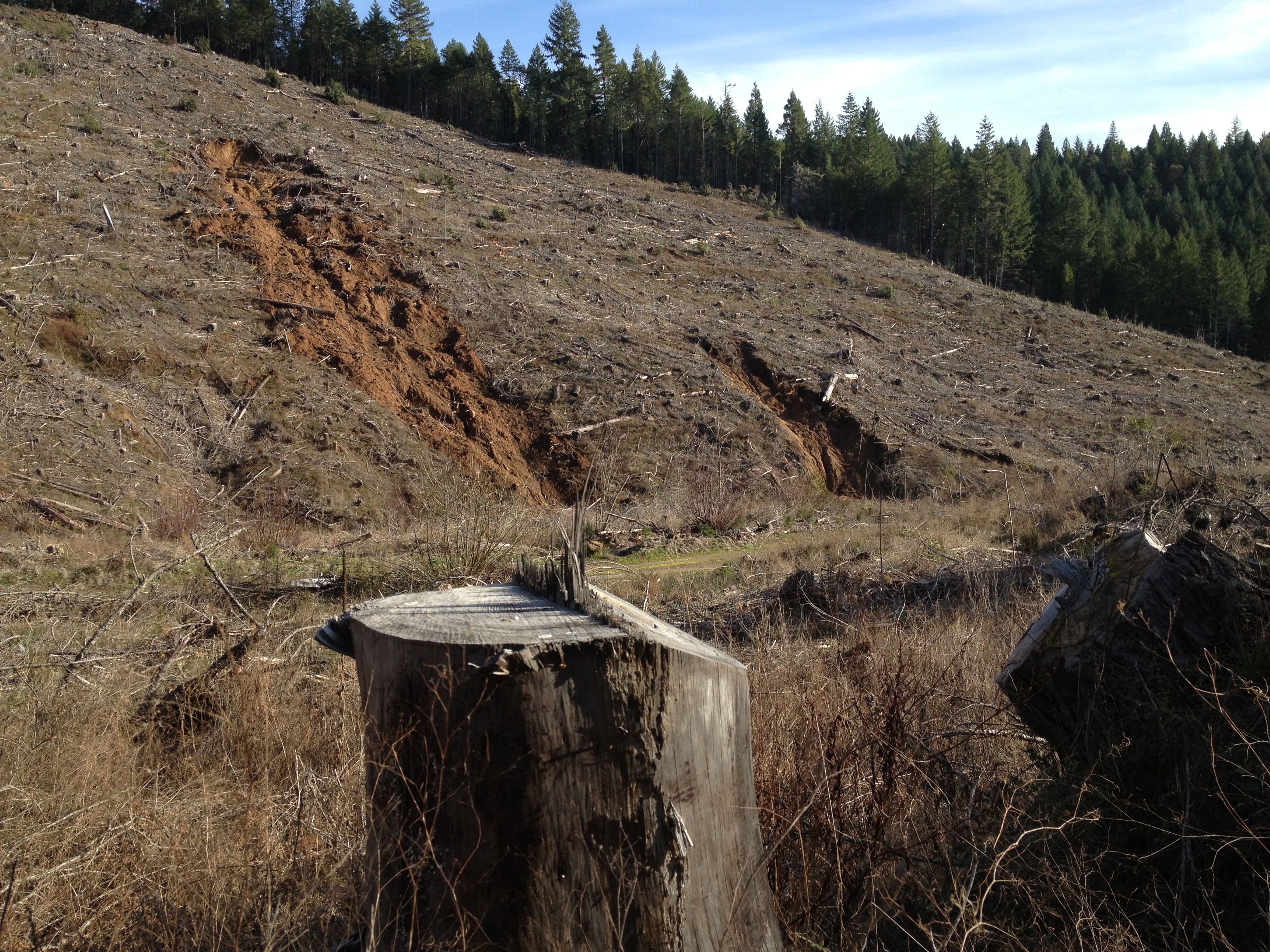
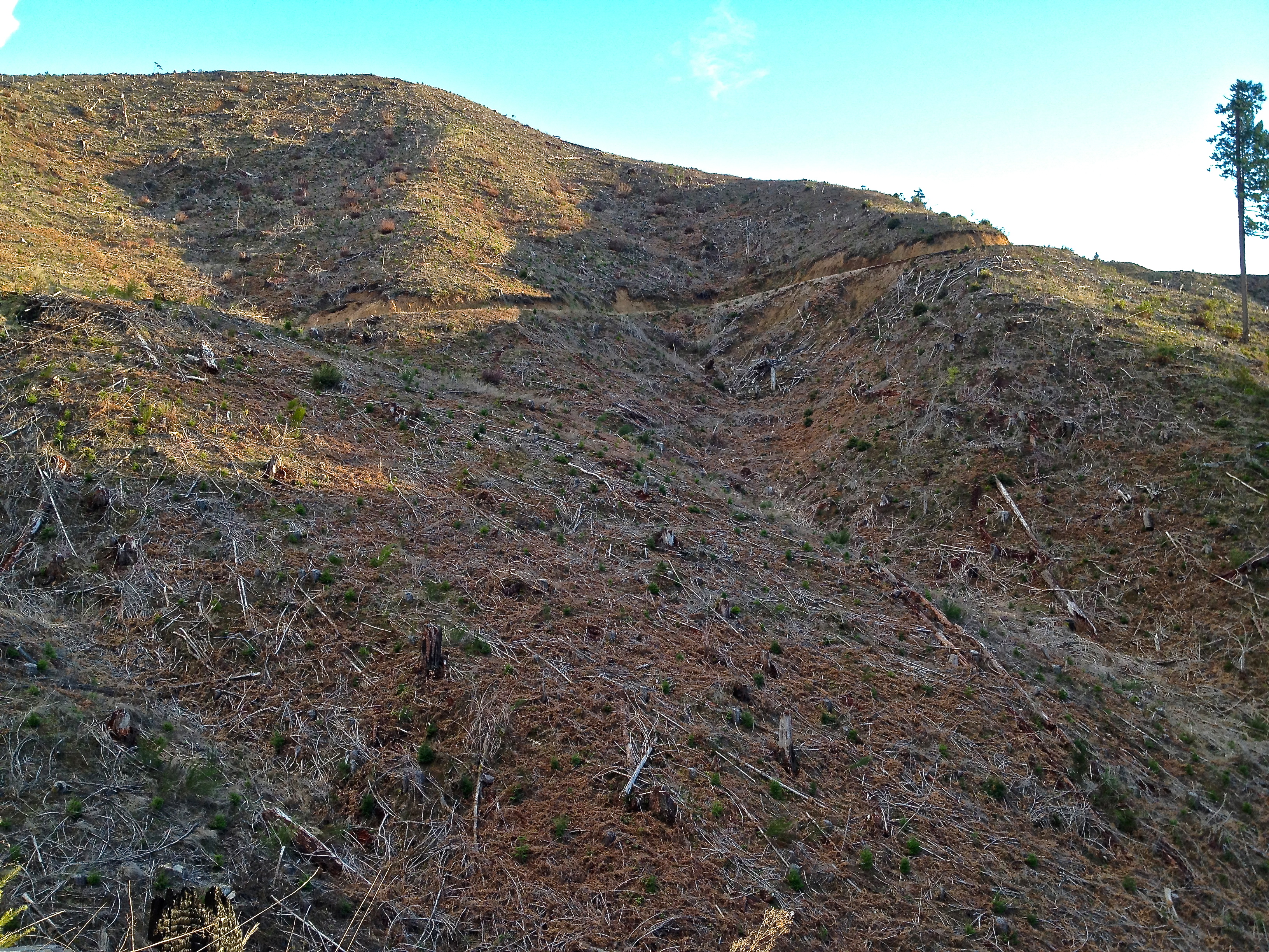
Seneca landslides
"Ecoforestry"
It's a lot bigger than the picture

Wolf Creek Falls 129

Little River WC 121
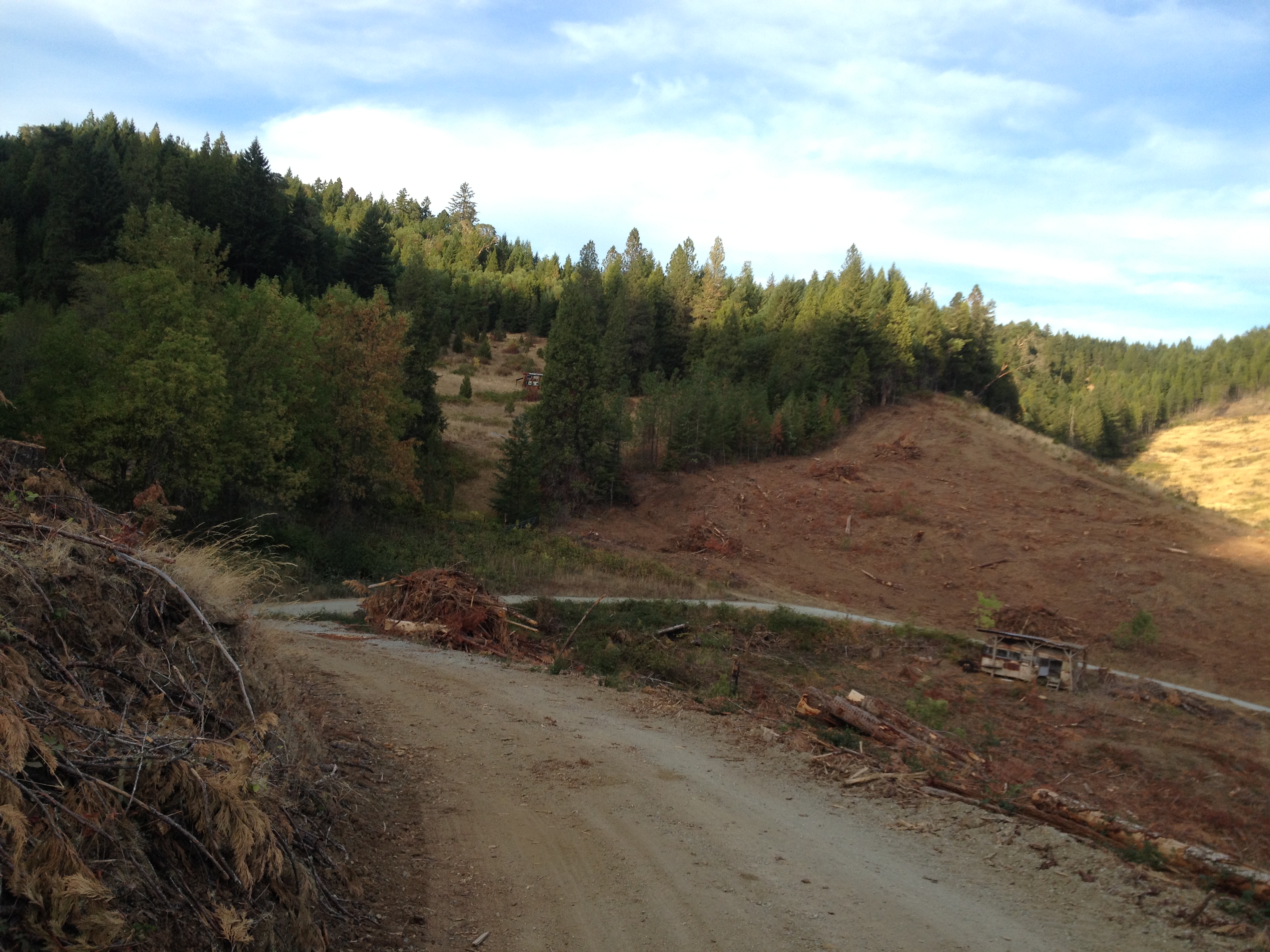
Seneca Logging near Days Creek IMG_5891

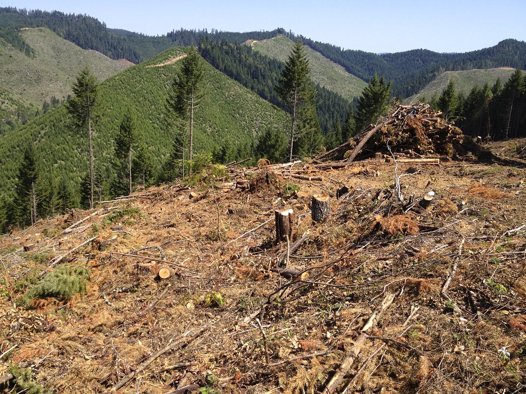
Seneca clearcuts IMG_5749
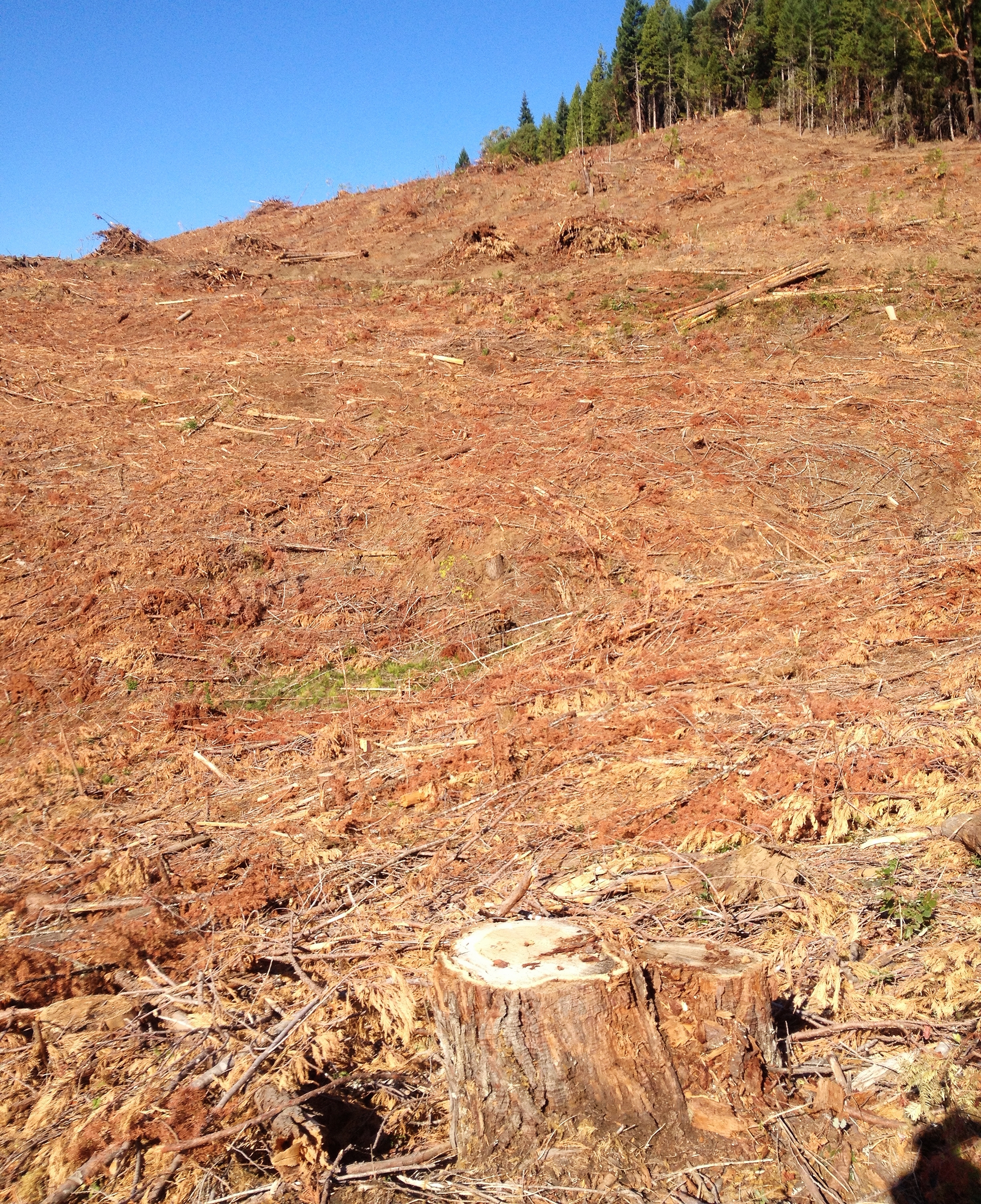
Seneca clearcuts IMG_5746
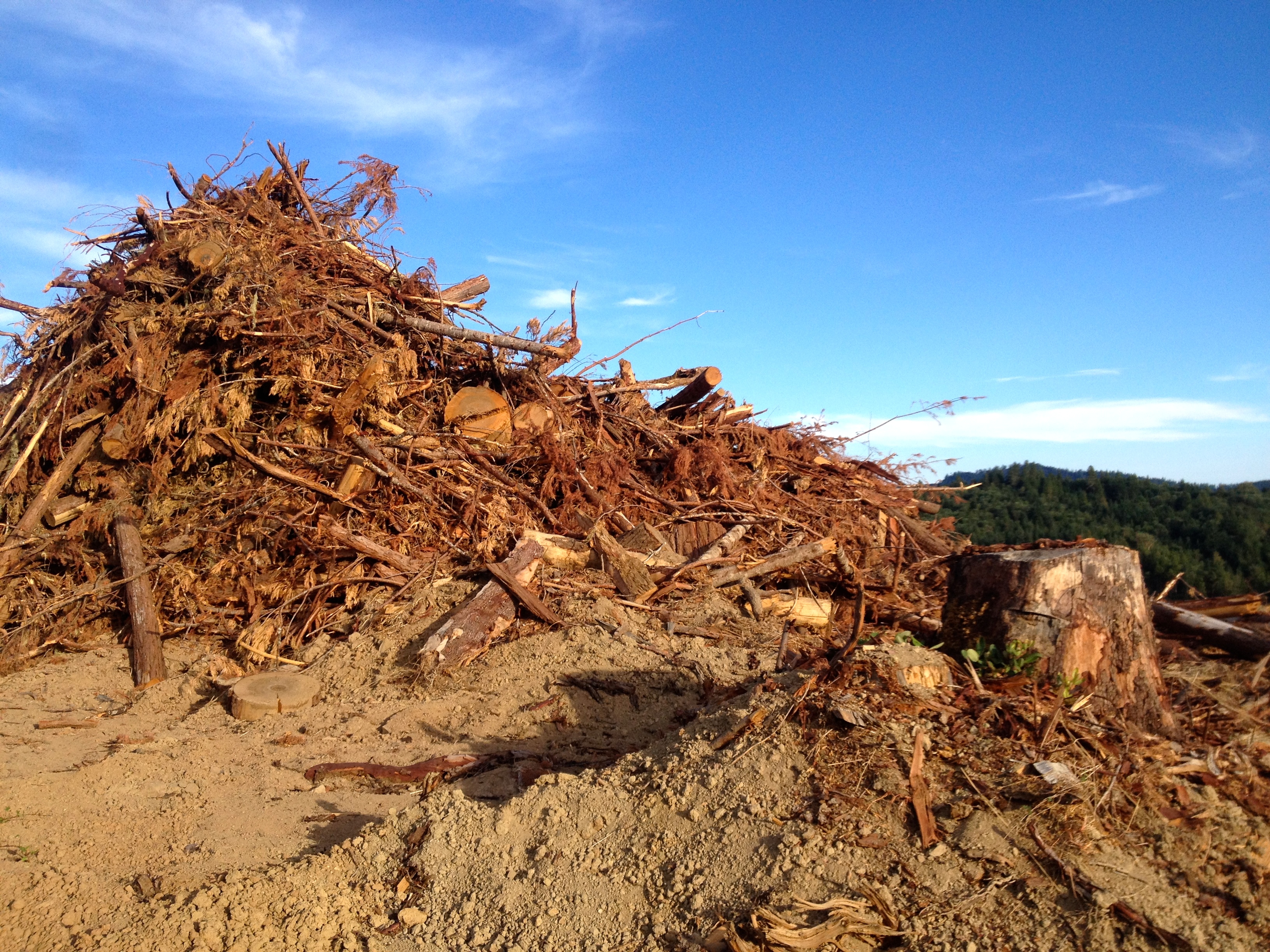
Seneca clearcuts IMG_5788
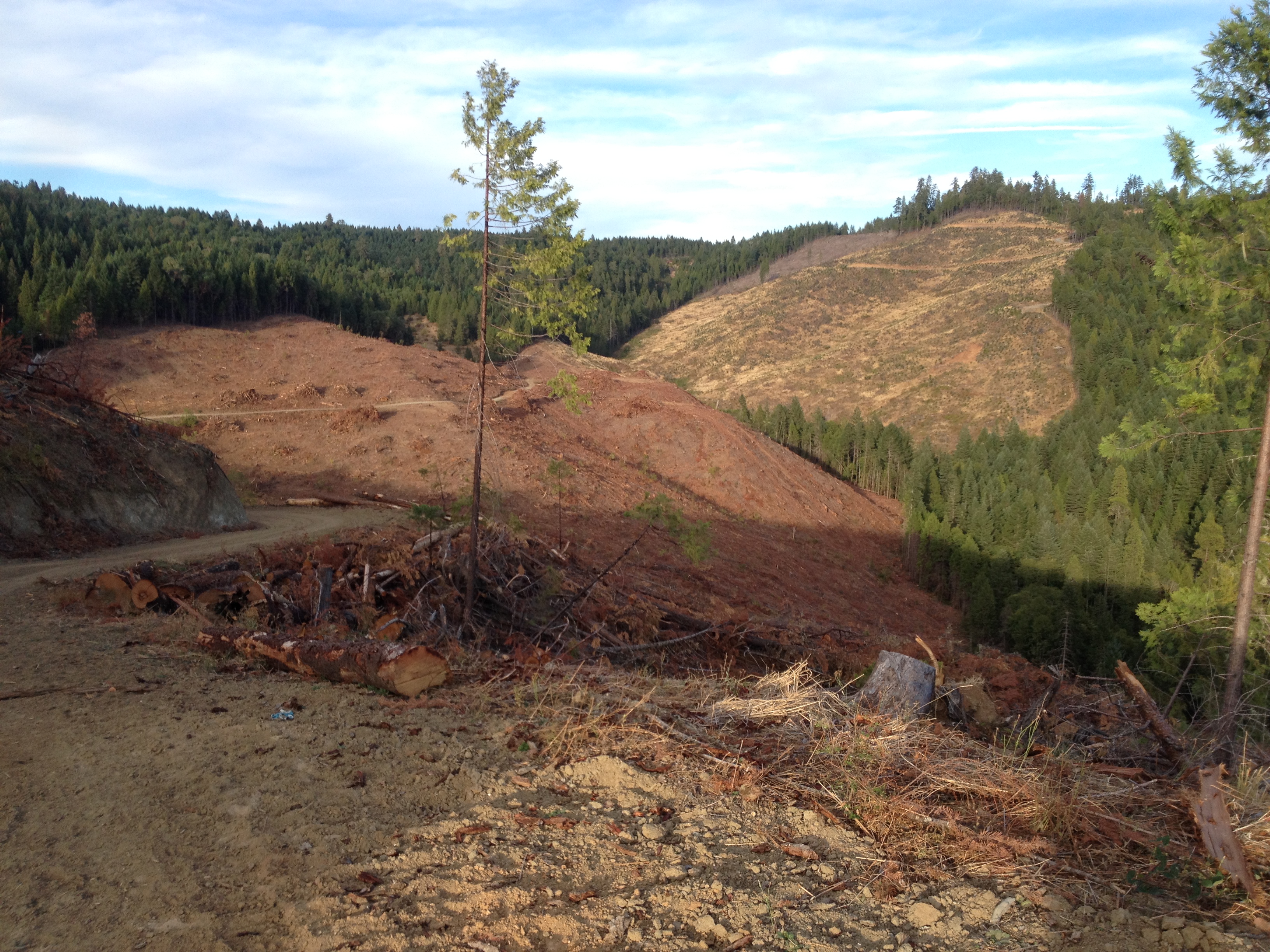
Seneca clearcuts IMG_5833
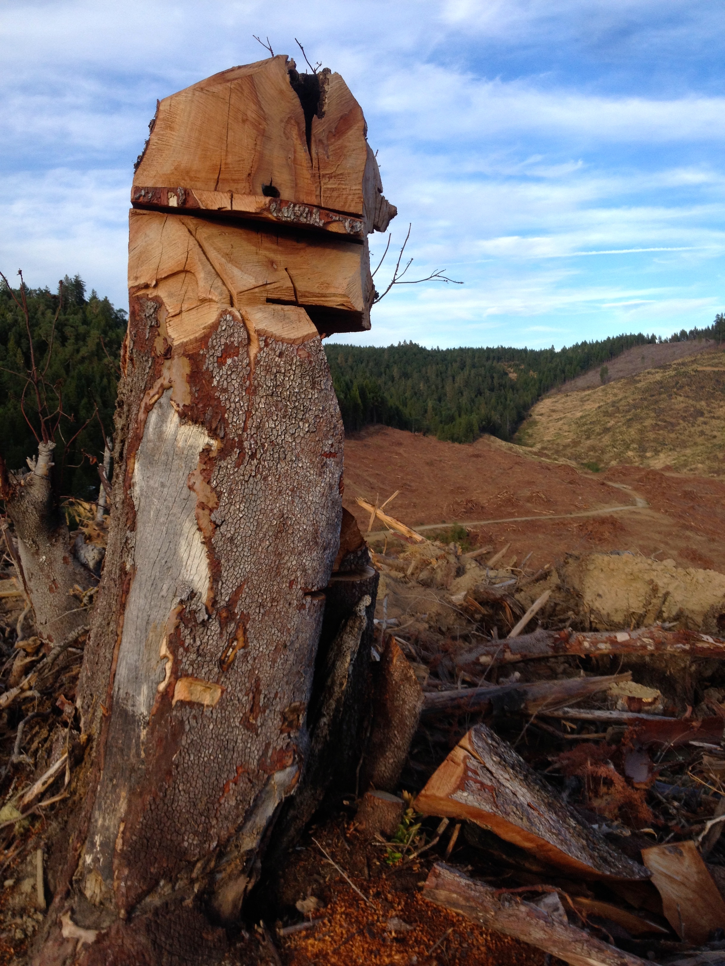
Seneca clearcuts IMG_5814

Seneca clearcuts IMG_5769
Topographic Map of N Myrtle Rd, Myrtle Creek, OR, USA
Find elevation by address:

Places near N Myrtle Rd, Myrtle Creek, OR, USA:
540 Brumbach Rd
757 Cattle Dr
Roseburg, OR, USA
Douglas County
Roseburg
Dixonville
539 Hatfield Dr
231 Marilyn St
613 Ne Cummins St
2304 Se Waldon Ave
904 Se Murray Ct
390 Se Terrace Dr
2002 Ne Klamath Ave
2151 Ne Alabaster Ave
1611 Ne Norma Jean Dr
1831 Ne Alameda Ave
1821 Ne Alameda Ave
762 Se Chadwick St
1602 Se Starmer St
Roseburg
Recent Searches:
- Elevation of Rojo Ct, Atascadero, CA, USA
- Elevation of Flagstaff Drive, Flagstaff Dr, North Carolina, USA
- Elevation of Avery Ln, Lakeland, FL, USA
- Elevation of Woolwine, VA, USA
- Elevation of Lumagwas Diversified Farmers Multi-Purpose Cooperative, Lumagwas, Adtuyon, RV32+MH7, Pangantucan, Bukidnon, Philippines
- Elevation of Homestead Ridge, New Braunfels, TX, USA
- Elevation of Orchard Road, Orchard Rd, Marlborough, NY, USA
- Elevation of 12 Hutchinson Woods Dr, Fletcher, NC, USA
- Elevation of Holloway Ave, San Francisco, CA, USA
- Elevation of Norfolk, NY, USA