Elevation of N Mountain Valley Hwy, Montville, ME, USA
Location: United States > Maine > Waldo County > Montville >
Longitude: -69.259632
Latitude: 44.465035
Elevation: 160m / 525feet
Barometric Pressure: 99KPa
Elevation Map:
Satellite Map:
Related Photos:
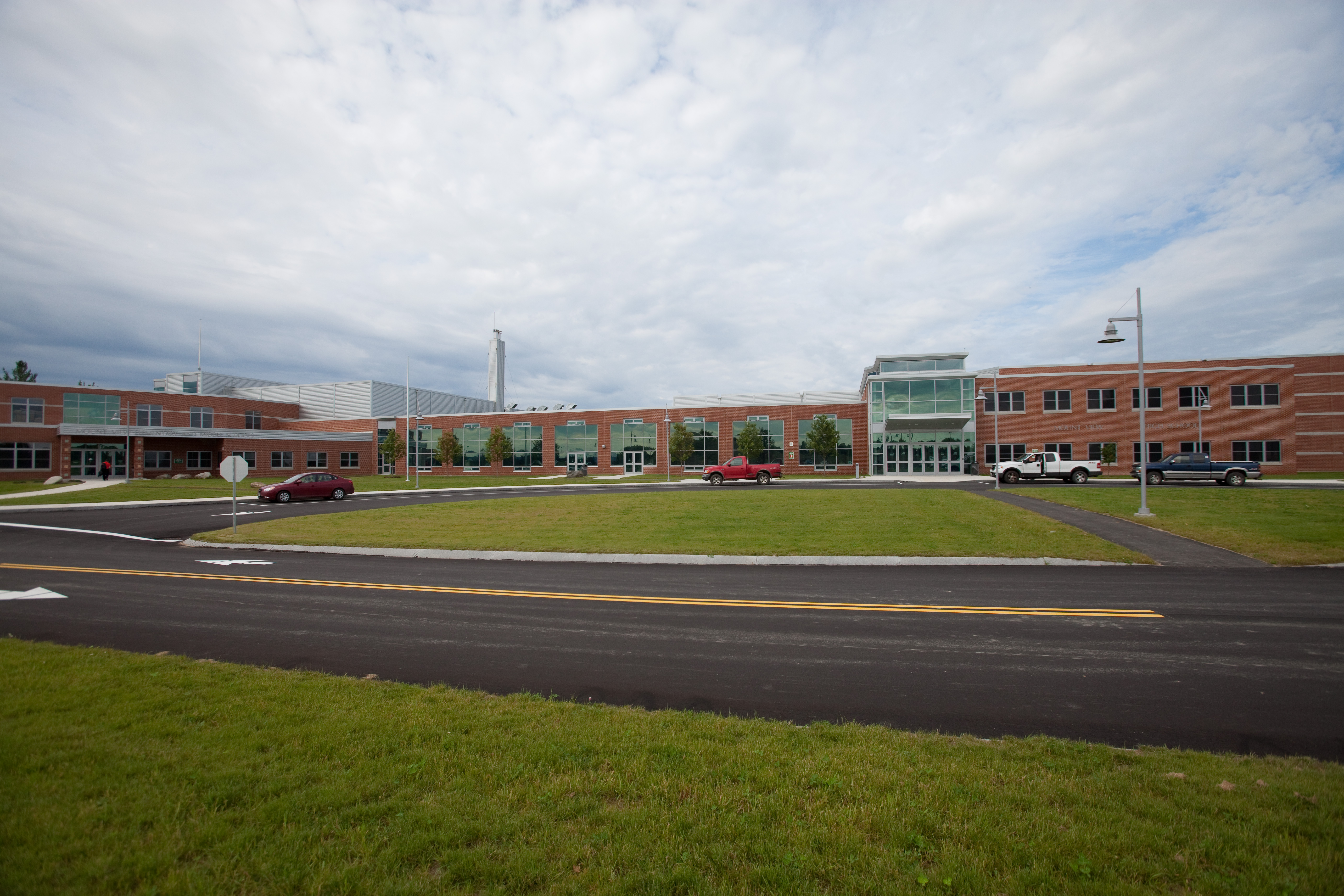
Mount View School
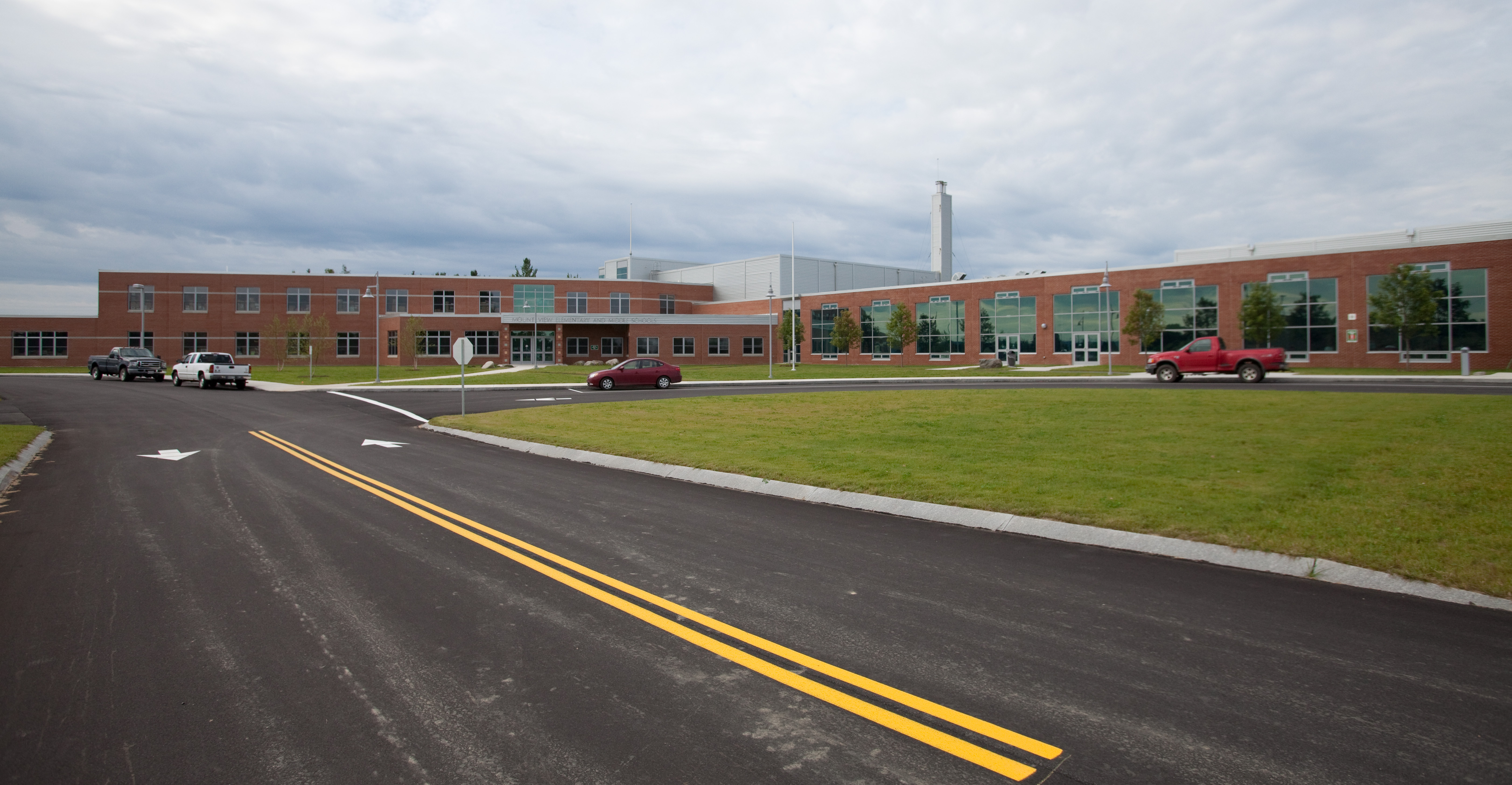
Mount View School
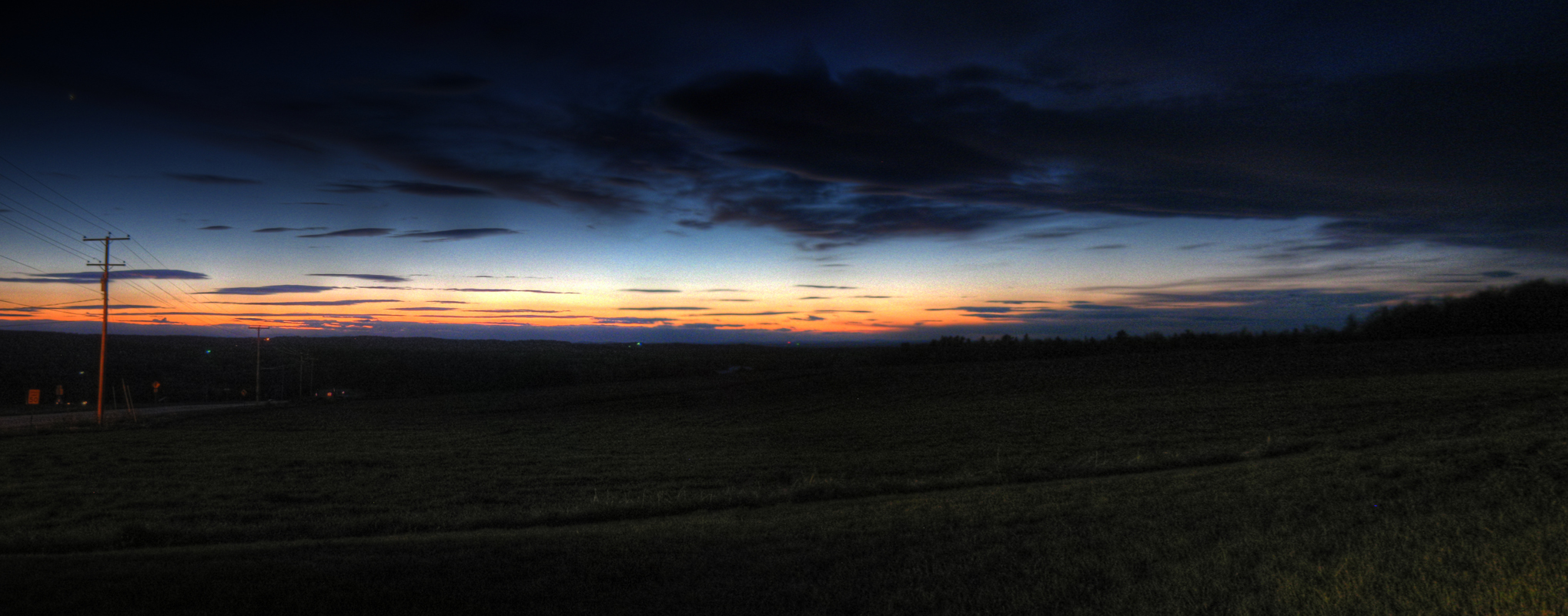
Last Gleaming; Knox, Maine
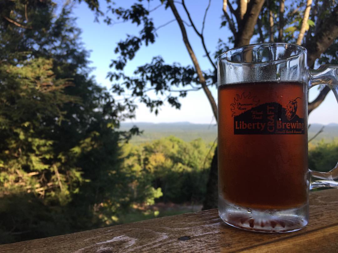
Beer is not bad, but that view is FREAKING amazing!
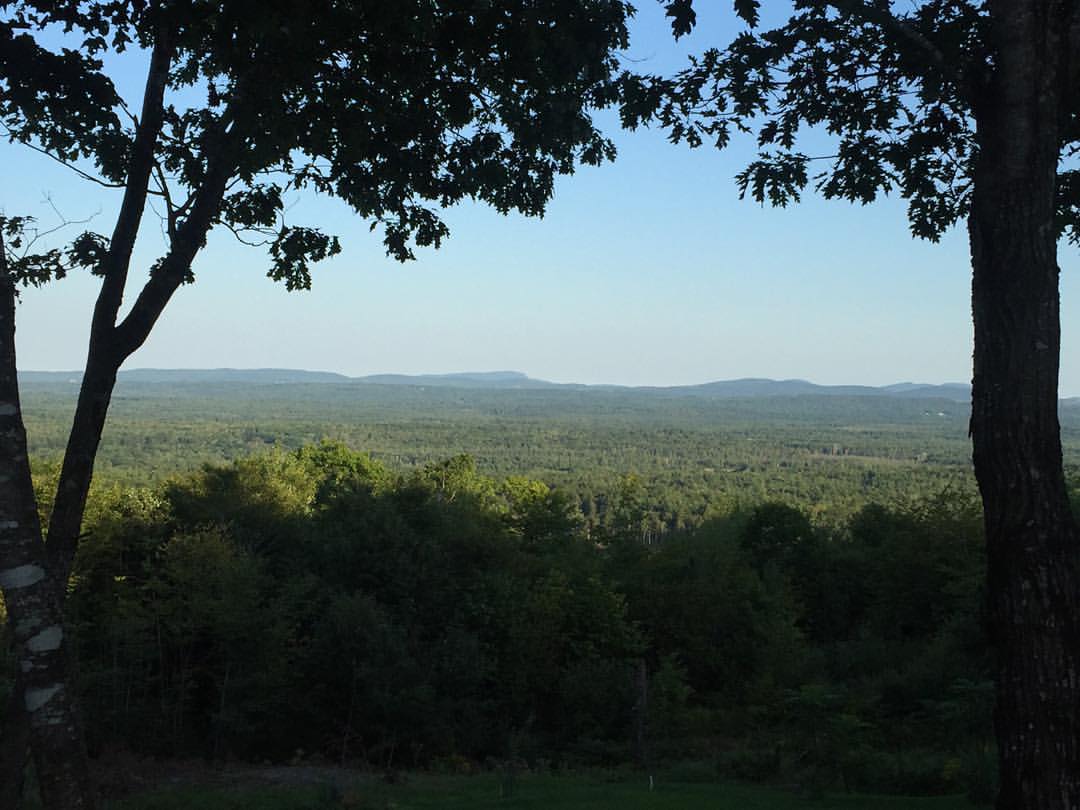
Another shot of the view!!!

Snowy Hermit
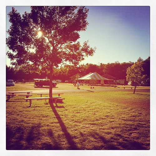
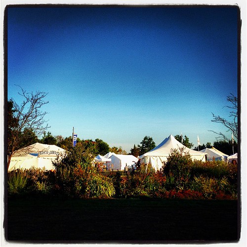
Gorgeous day for setting up! Today the fairground feels almost like Common Ground, but so very quiet. #commonground #fairground #maine
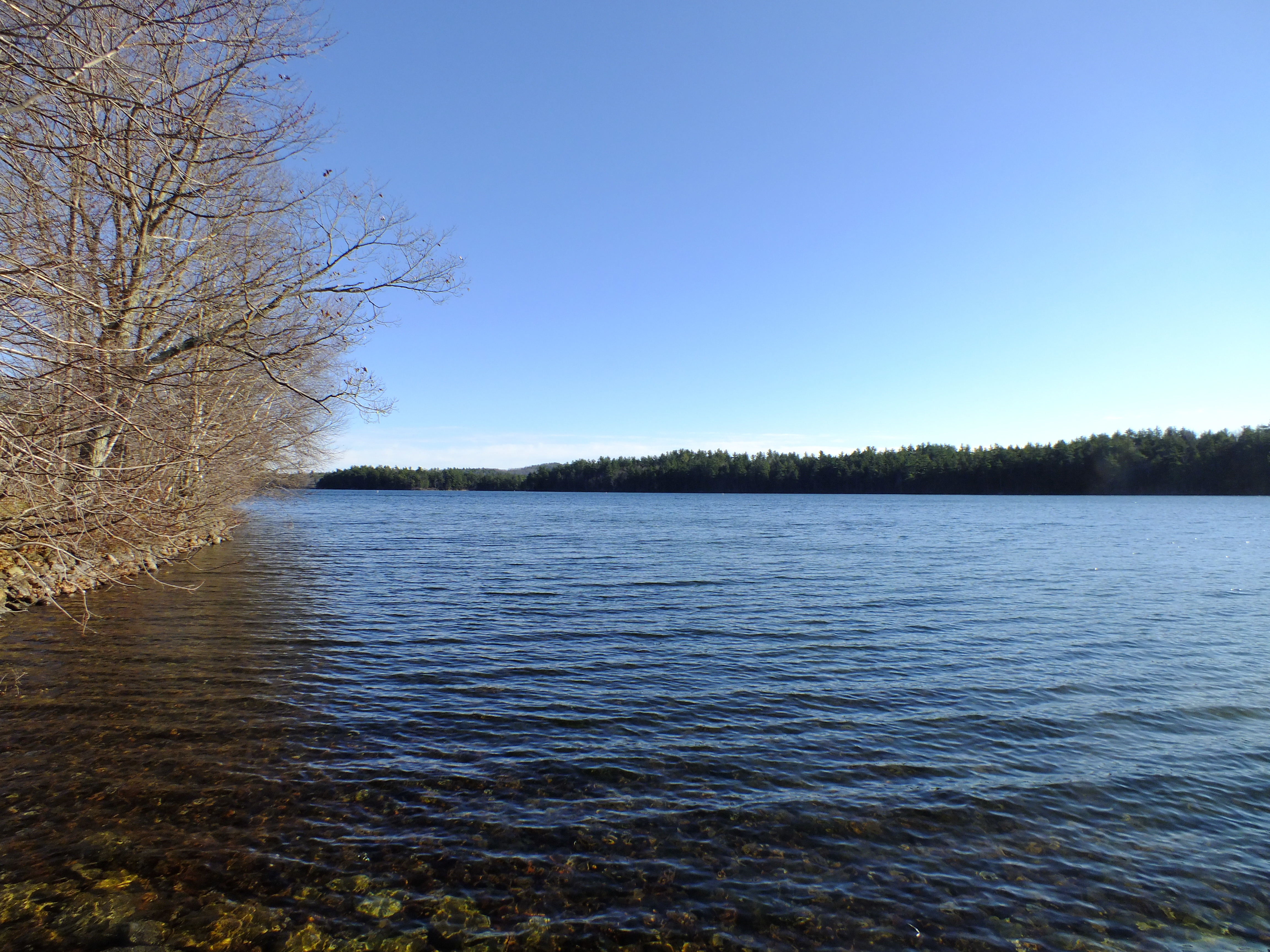
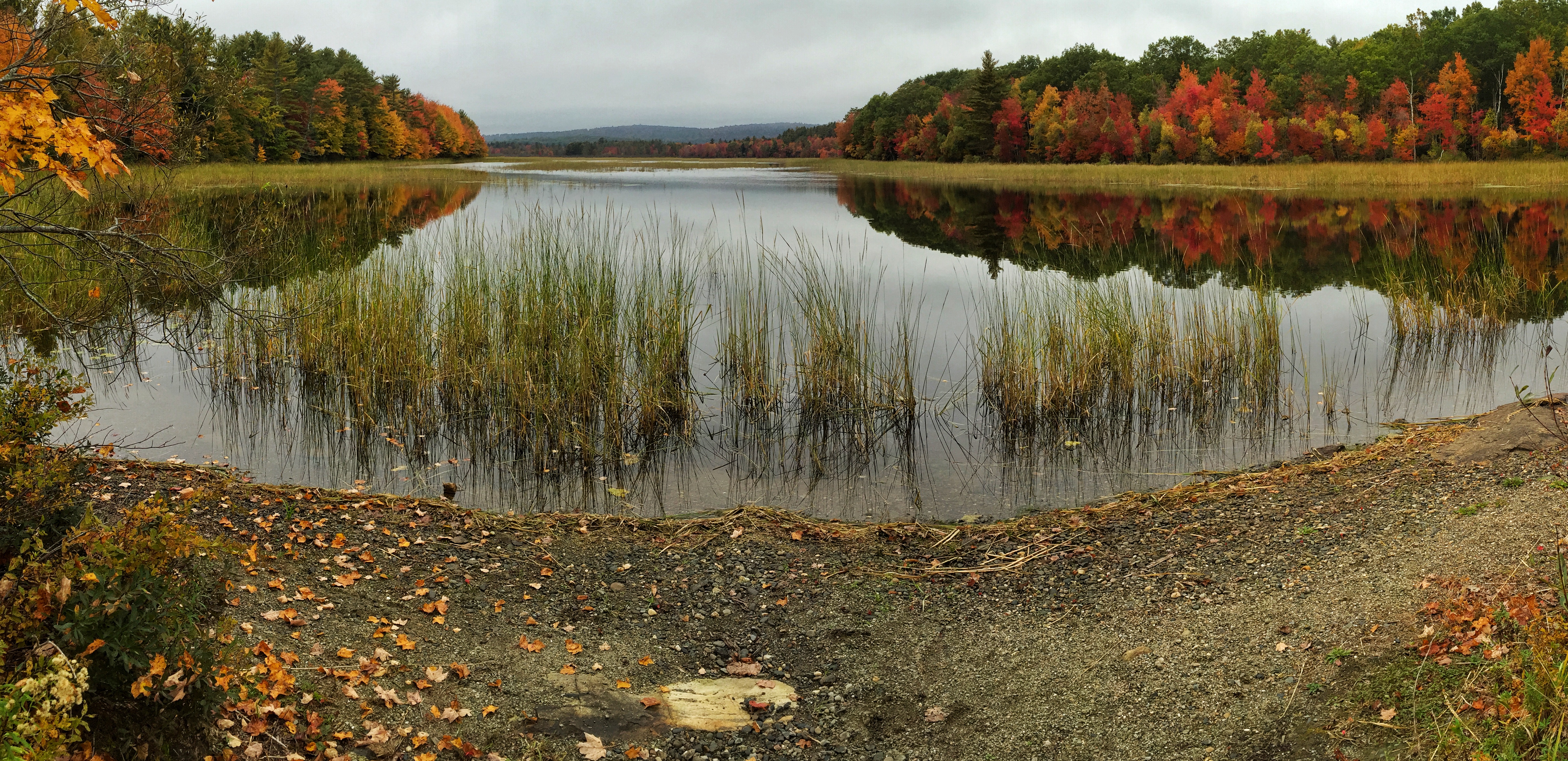
Lake St. George
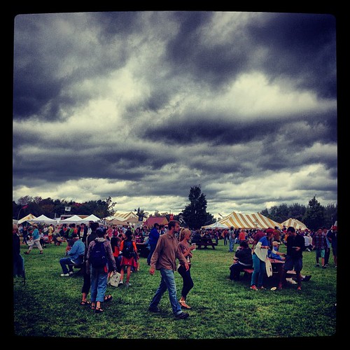
Menacing skies did not deter an insane amount of people from visiting the Common Ground Fair today! We had another awesome day. Met so many fantastic people! #commonground #cgcf
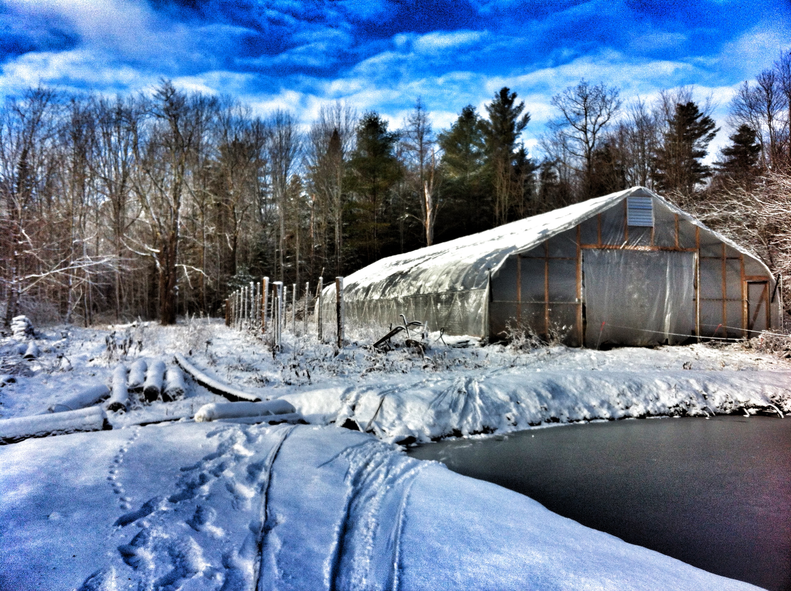
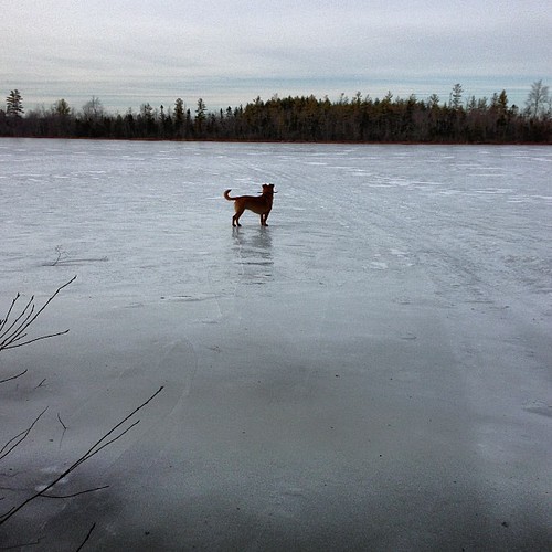
Winter's finally here! Can't believe it's going to rain heavy before it snows again.
Good morning CGCF! So excited!! #commonground #fairground #maine

Waterfall Long Exposure

Saturday's end. #cgcf2013 #commonground
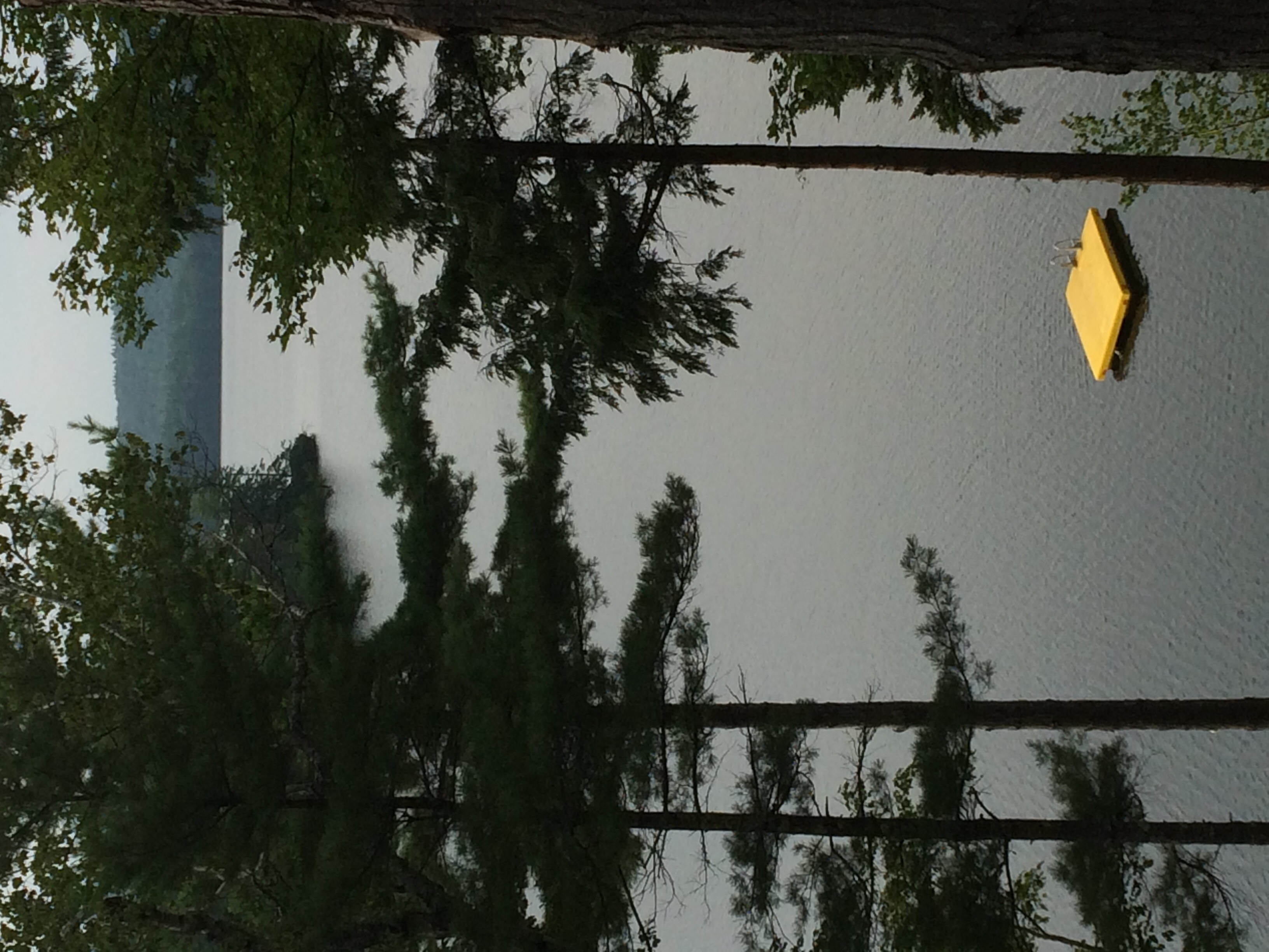
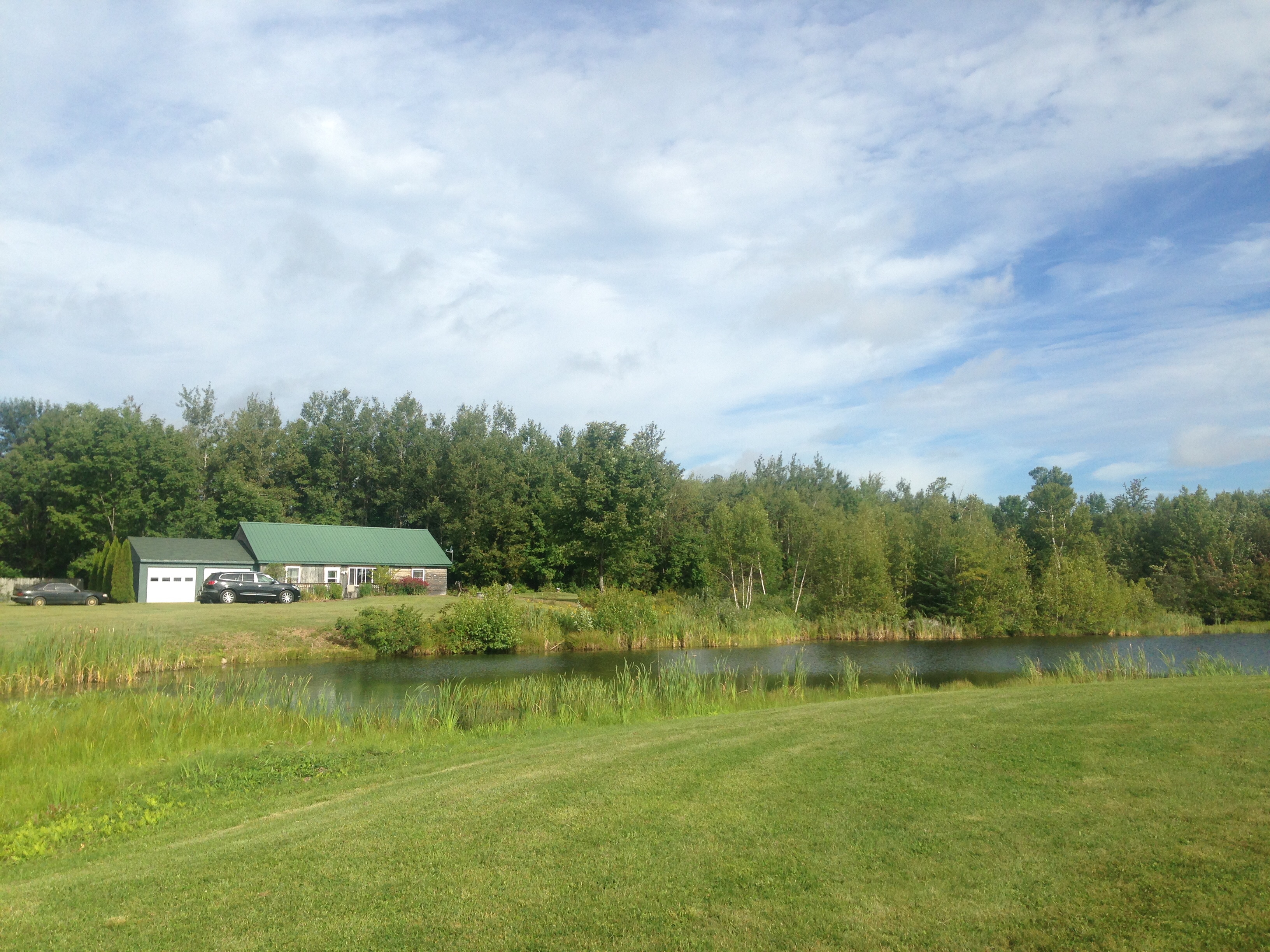
Swim platform
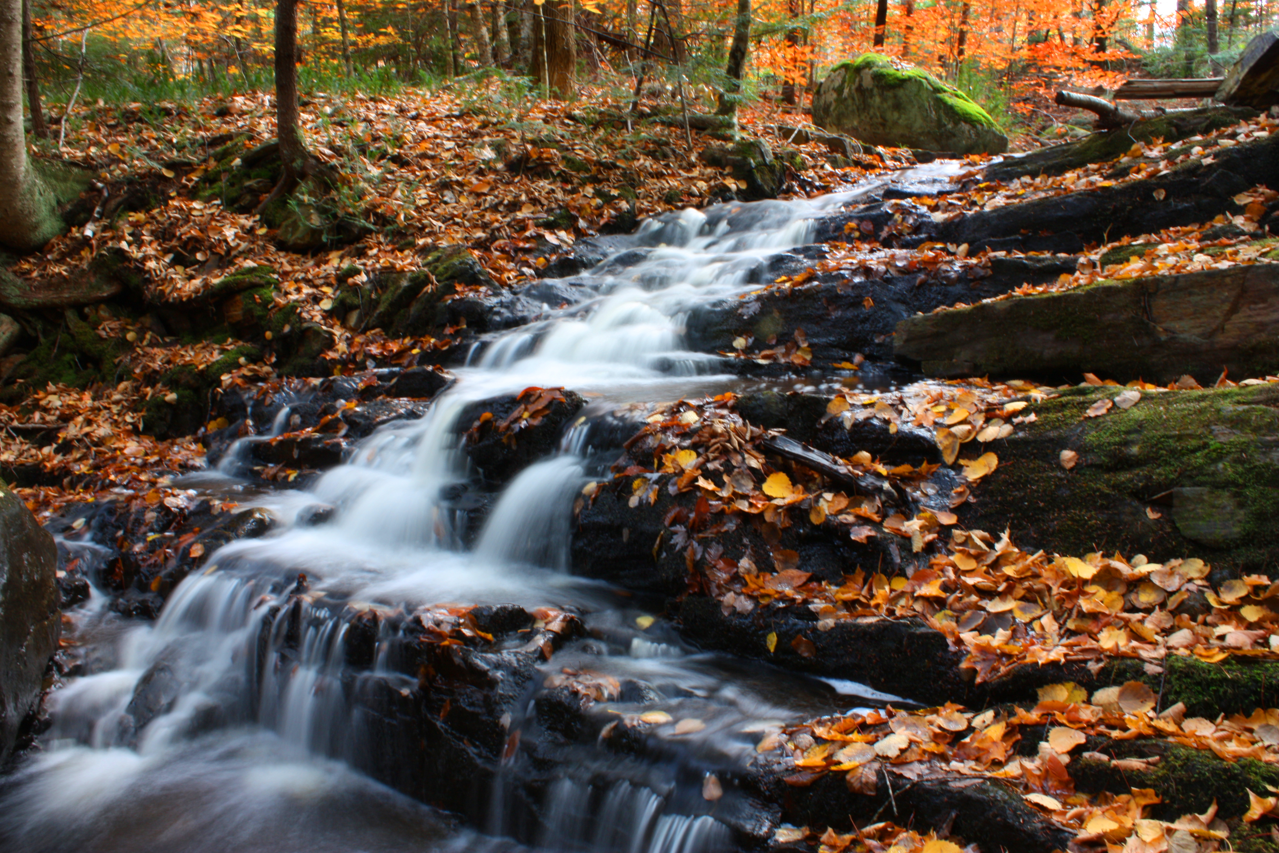
Waterfall Long Exposure
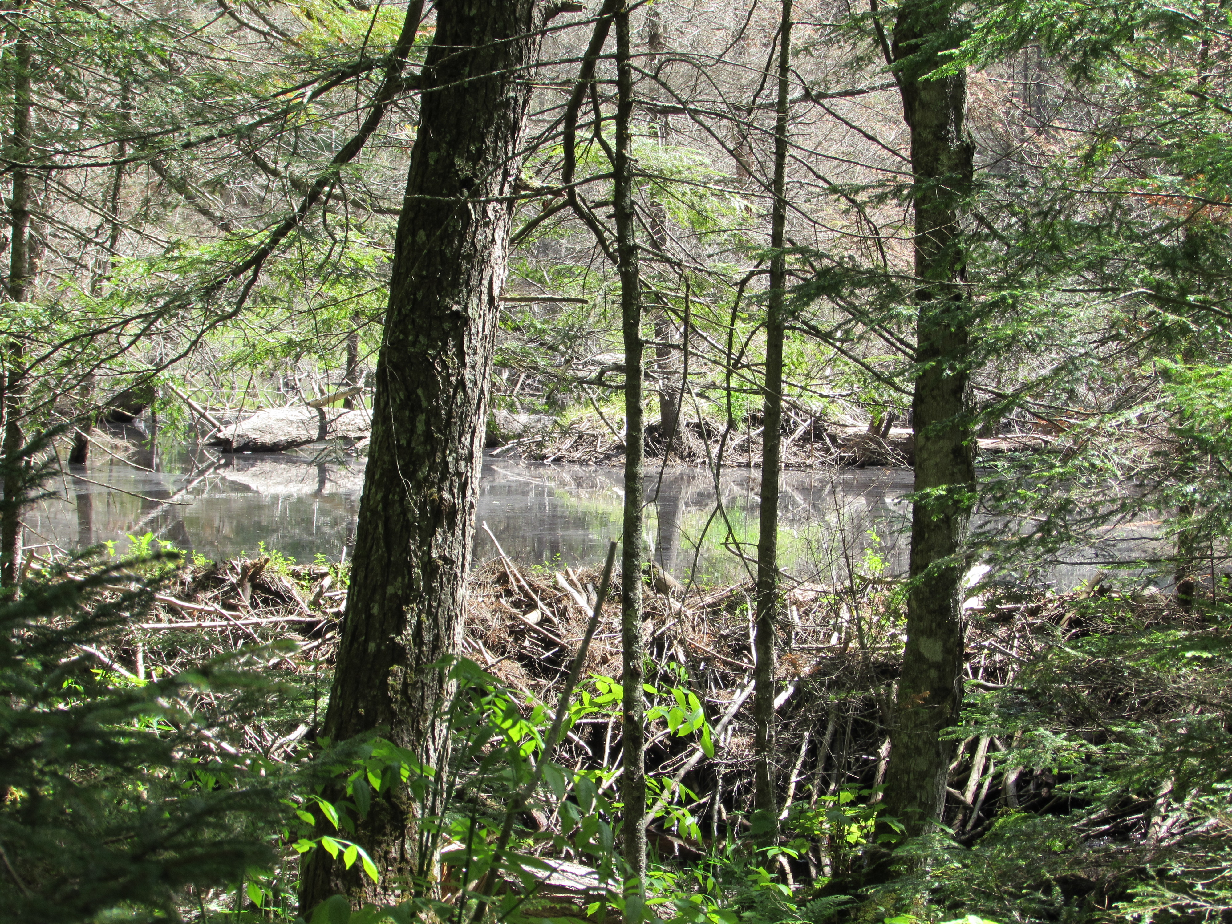
Beaver dams
ho ho ho
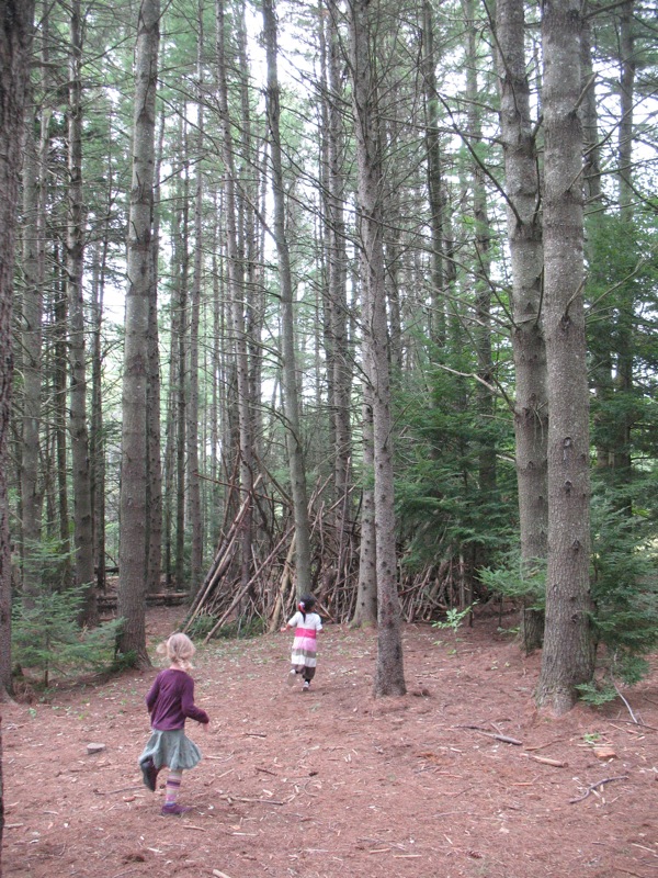
Exploring the woods at Common Ground
New England
1 hour in Maine and already experiencing sensory overload
Storm's a brewin'
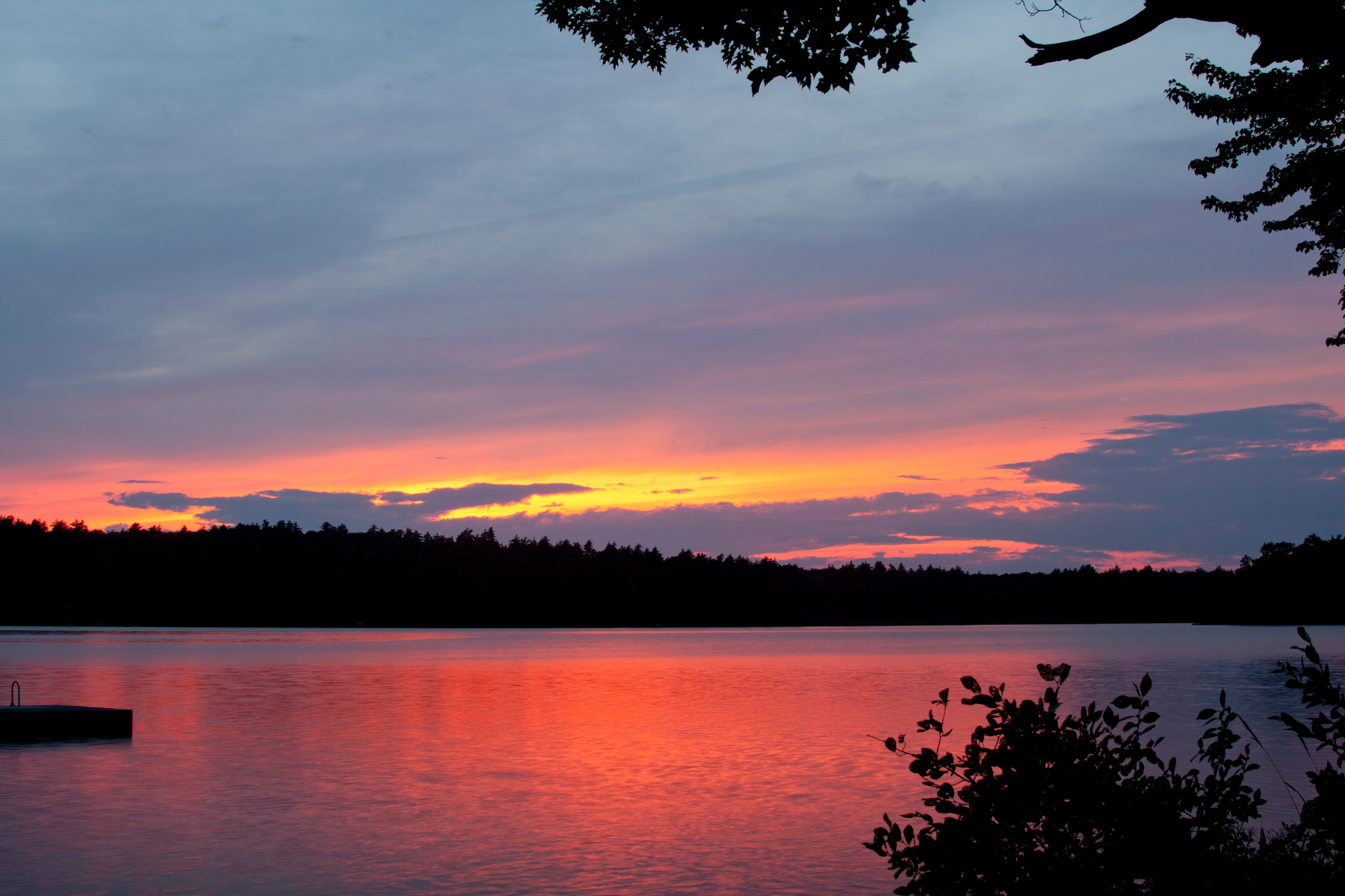
Sunset on Quantabacook Lake

Winter Wren
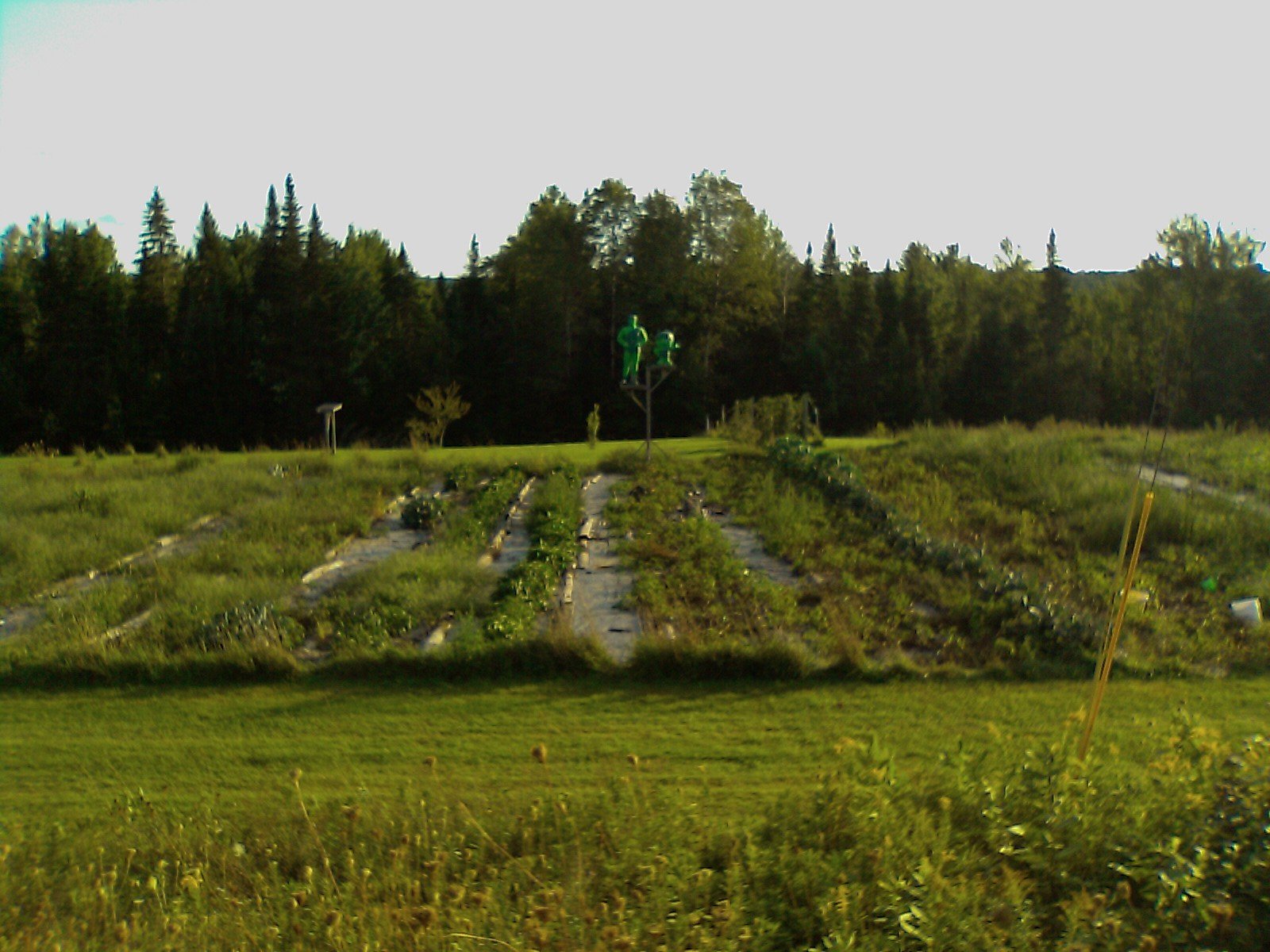
New Barn Site
New Barn Site
Stone Jumble
tin roof with hay
Topographic Map of N Mountain Valley Hwy, Montville, ME, USA
Find elevation by address:

Places near N Mountain Valley Hwy, Montville, ME, USA:
Montville
12 Burnham Hill Rd
Liberty
ME-, Montville, ME, USA
W Appleton Rd, Appleton, ME, USA
755 Pinnacle Rd
244 Nelson Ln
30 Lenfest Rd
196 Turner Ridge Rd
Palermo
4 Mountain Rd, Washington, ME, USA
Hibberts Gore
Davis Stream
Stevens Shore
281 Sand Hill Rd
295 Patricktown Rd
Somerville
South China
619 Nelson Rd
Windsor
Recent Searches:
- Elevation of Elwyn Dr, Roanoke Rapids, NC, USA
- Elevation of Congressional Dr, Stevensville, MD, USA
- Elevation of Bellview Rd, McLean, VA, USA
- Elevation of Stage Island Rd, Chatham, MA, USA
- Elevation of Shibuya Scramble Crossing, 21 Udagawacho, Shibuya City, Tokyo -, Japan
- Elevation of Jadagoniai, Kaunas District Municipality, Lithuania
- Elevation of Pagonija rock, Kranto 7-oji g. 8"N, Kaunas, Lithuania
- Elevation of Co Rd 87, Jamestown, CO, USA
- Elevation of Tenjo, Cundinamarca, Colombia
- Elevation of Côte-des-Neiges, Montreal, QC H4A 3J6, Canada