Elevation of N Miles St, Elizabethtown, KY, USA
Location: United States > Kentucky > Hardin County > Elizabethtown >
Longitude: -85.850562
Latitude: 37.718773
Elevation: 254m / 833feet
Barometric Pressure: 98KPa
Elevation Map:
Satellite Map:
Related Photos:

I am.....Clematis!
Louisville & Nashville

Soccer/football
The best view of town
Kentucky, Elizabethtown, State Theatre (8,020)

Atop E'Town Cemetery

Freeman Lake Park

Mozart's paws

Setting Sun
The Sidewalk View

White-winged Crossbill Kathy Brewer 30 Jan 2013 Elizabethtown, KY

Kentucky, Elizabethtown, State Theatre (8,020-2)
Maple Hollow
Kentucky, Elizabethtown, State Theatre (8,020c)

A Wider View
U.S. 62 ... And to Think I Saw This as Mulberry Street
View of lake today!
Good Old Days

Black-bellied Whistling Ducks

CSXT Q525, Elizabethtown, KY
Yellow Fields.

Freeman Lake Set. Reflections

Noon, Kentucky
Kentucky in Oct

PAL LCL3, Saint John, KY

Glendale KY
Enchanted Forest
Buffalo Creek

Great Adventure 2012-069

after the storm
Valley Creek Railroad Bridge
2010-07-05 20.11.09

Still Life
Small creek

Great Adventure 2012-042
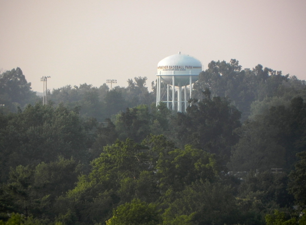
Elizabethtown Panther Baseball Park

Great Adventure 2012-145
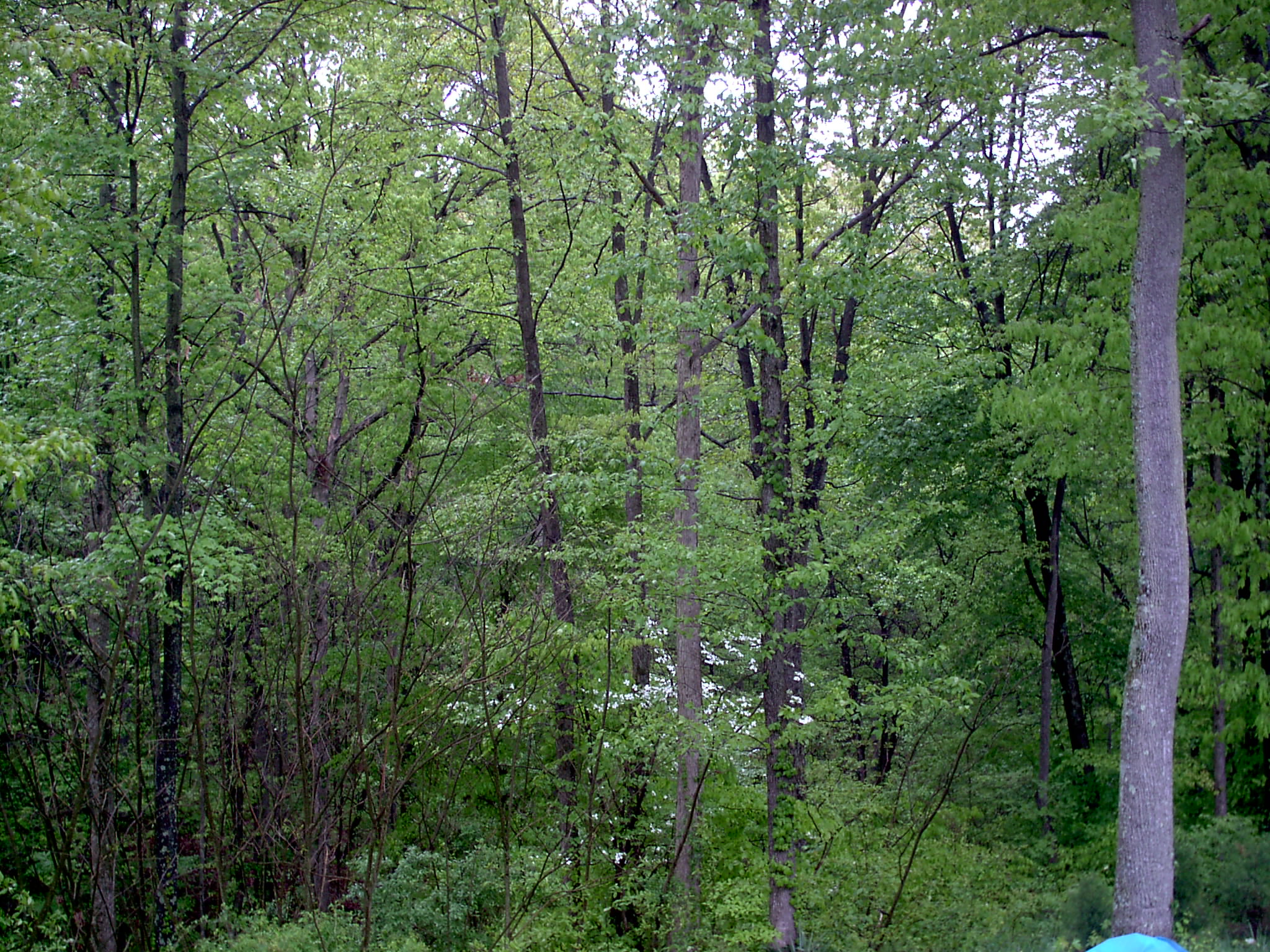
Spring Forest
Great Adventure 2012-026
Topographic Map of N Miles St, Elizabethtown, KY, USA
Find elevation by address:

Places near N Miles St, Elizabethtown, KY, USA:
1005 Driftwood Ln
Elizabethtown
200 Evergreen Garden
161 Katelyn Dr
303 State St
465 Springfield Rd
505 Cs-1389
199 Apple Ln
Harmony Way
2279 Wooldridge Ferry Rd
89 E Rainbow Way
385 Hillcreek Dr
1415 Hodgenville Rd
360 Ring Rd
55 Featherstone Ct
1725 Bacon Creek Rd
S Wilson Rd, Radcliff, KY, USA
174 Watson Ln
Lone Oak Road
Cecilia
Recent Searches:
- Elevation of Lampiasi St, Sarasota, FL, USA
- Elevation of Elwyn Dr, Roanoke Rapids, NC, USA
- Elevation of Congressional Dr, Stevensville, MD, USA
- Elevation of Bellview Rd, McLean, VA, USA
- Elevation of Stage Island Rd, Chatham, MA, USA
- Elevation of Shibuya Scramble Crossing, 21 Udagawacho, Shibuya City, Tokyo -, Japan
- Elevation of Jadagoniai, Kaunas District Municipality, Lithuania
- Elevation of Pagonija rock, Kranto 7-oji g. 8"N, Kaunas, Lithuania
- Elevation of Co Rd 87, Jamestown, CO, USA
- Elevation of Tenjo, Cundinamarca, Colombia