Elevation of N Main St, Williston, FL, USA
Location: United States > Florida > Levy County > Williston >
Longitude: -82.447390
Latitude: 29.3890153
Elevation: 26m / 85feet
Barometric Pressure: 101KPa
Elevation Map:
Satellite Map:
Related Photos:

Not a Great View
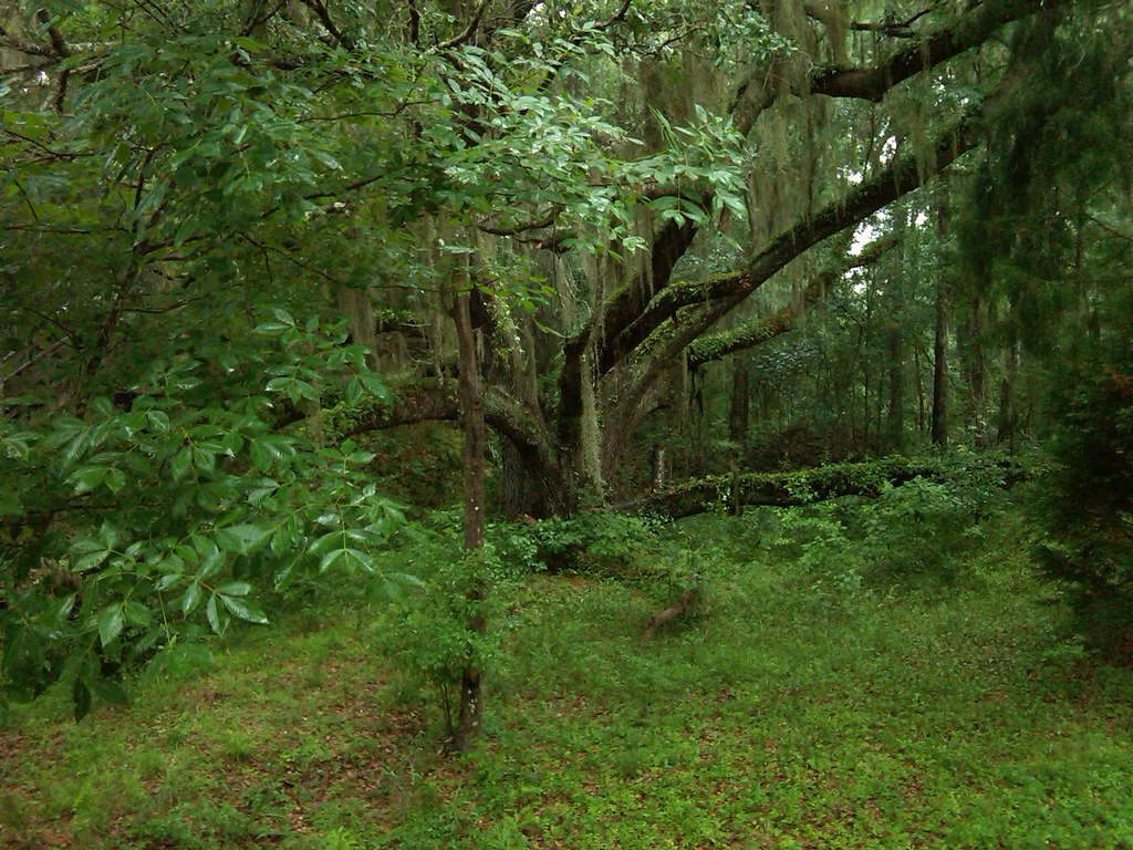
Williston west of Gainsville Devil' Den

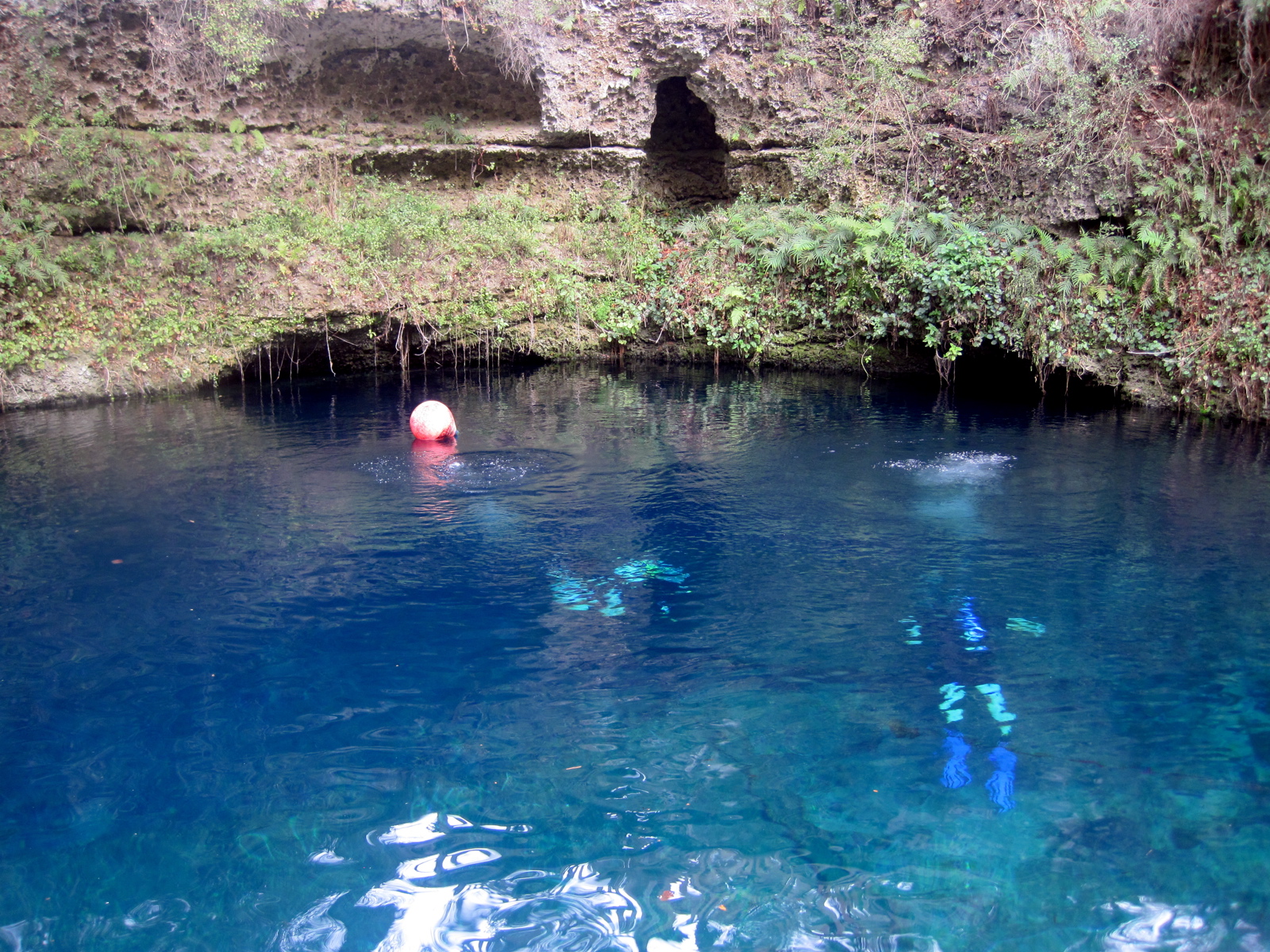
Devil's Den
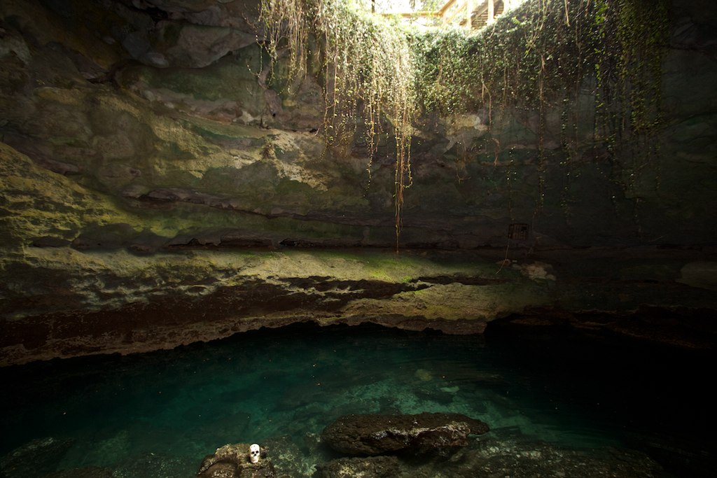
Devil's Den

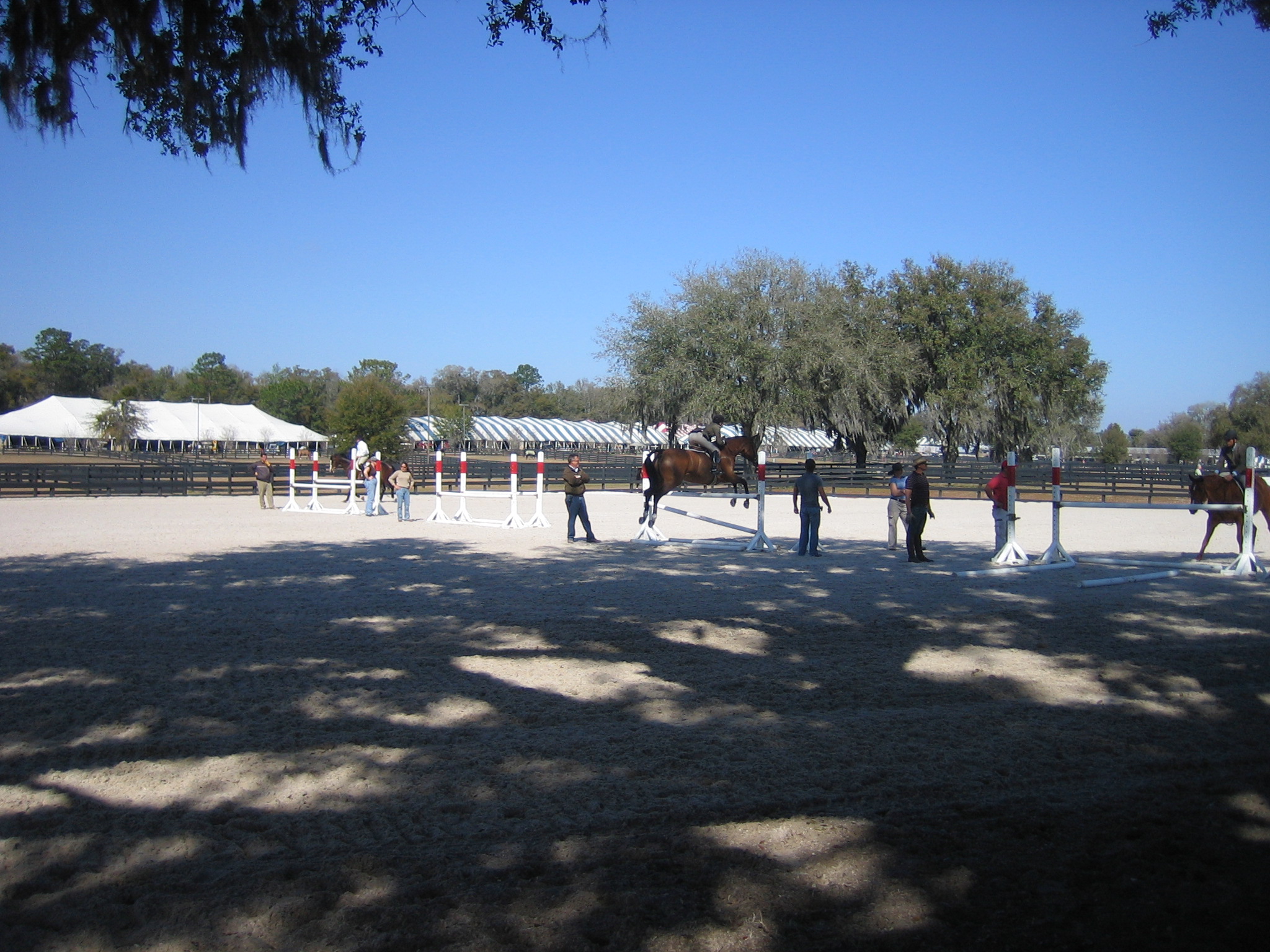
Launch Point

Cedar Lakes 8

Williston Fl
IMG_9597.JPG

IMG_9586.JPG
Hits 2007 019

2016/08/27, 5/365

2016/08/27, 5/365
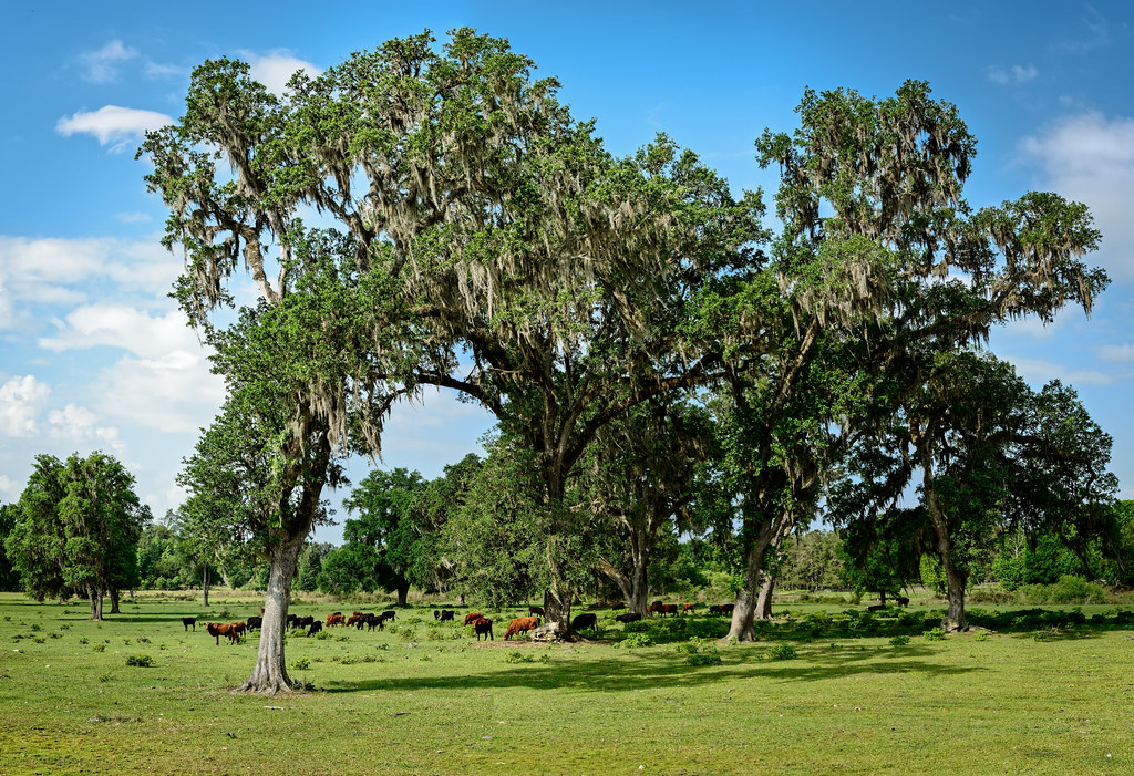
Greener Pastures

Train Track Wildflowers

Project 365- 53-365
Topographic Map of N Main St, Williston, FL, USA
Find elevation by address:

Places near N Main St, Williston, FL, USA:
1000 Nw Main St
Williston
Williston
124 S Main St
340 W Noble Ave
507 Se 1st Ave
1251 Fl-121
NE 50 St, Williston, FL, USA
3251 Ne 180 Ave
17691 Ne 40th St
Devil's Den Prehistoric Spring
16350 Ne 53 Ln
6871 Ne 155 Ave
6451 Ne 156th Ct
15253 Nw 185th St
6871 Ne 155th Ave
16051 Ne 75th St
14790 Nw 185th St
6331 Ne 150th Ave
5850 Ne 150th Ave
Recent Searches:
- Elevation of Zimmer Trail, Pennsylvania, USA
- Elevation of 87 Kilmartin Ave, Bristol, CT, USA
- Elevation of Honghe National Nature Reserve, QP95+PJP, Tongjiang, Heilongjiang, Jiamusi, Heilongjiang, China
- Elevation of Hercules Dr, Colorado Springs, CO, USA
- Elevation of Szlak pieszy czarny, Poland
- Elevation of Griffing Blvd, Biscayne Park, FL, USA
- Elevation of Kreuzburger Weg 13, Düsseldorf, Germany
- Elevation of Gateway Blvd SE, Canton, OH, USA
- Elevation of East W.T. Harris Boulevard, E W.T. Harris Blvd, Charlotte, NC, USA
- Elevation of West Sugar Creek, Charlotte, NC, USA