Elevation of N Main St, Palmyra, IL, USA
Location: United States > Illinois > Macoupin County > North Palmyra Township > Palmyra >
Longitude: -89.996070
Latitude: 39.4349517
Elevation: 205m / 673feet
Barometric Pressure: 99KPa
Elevation Map:
Satellite Map:
Related Photos:

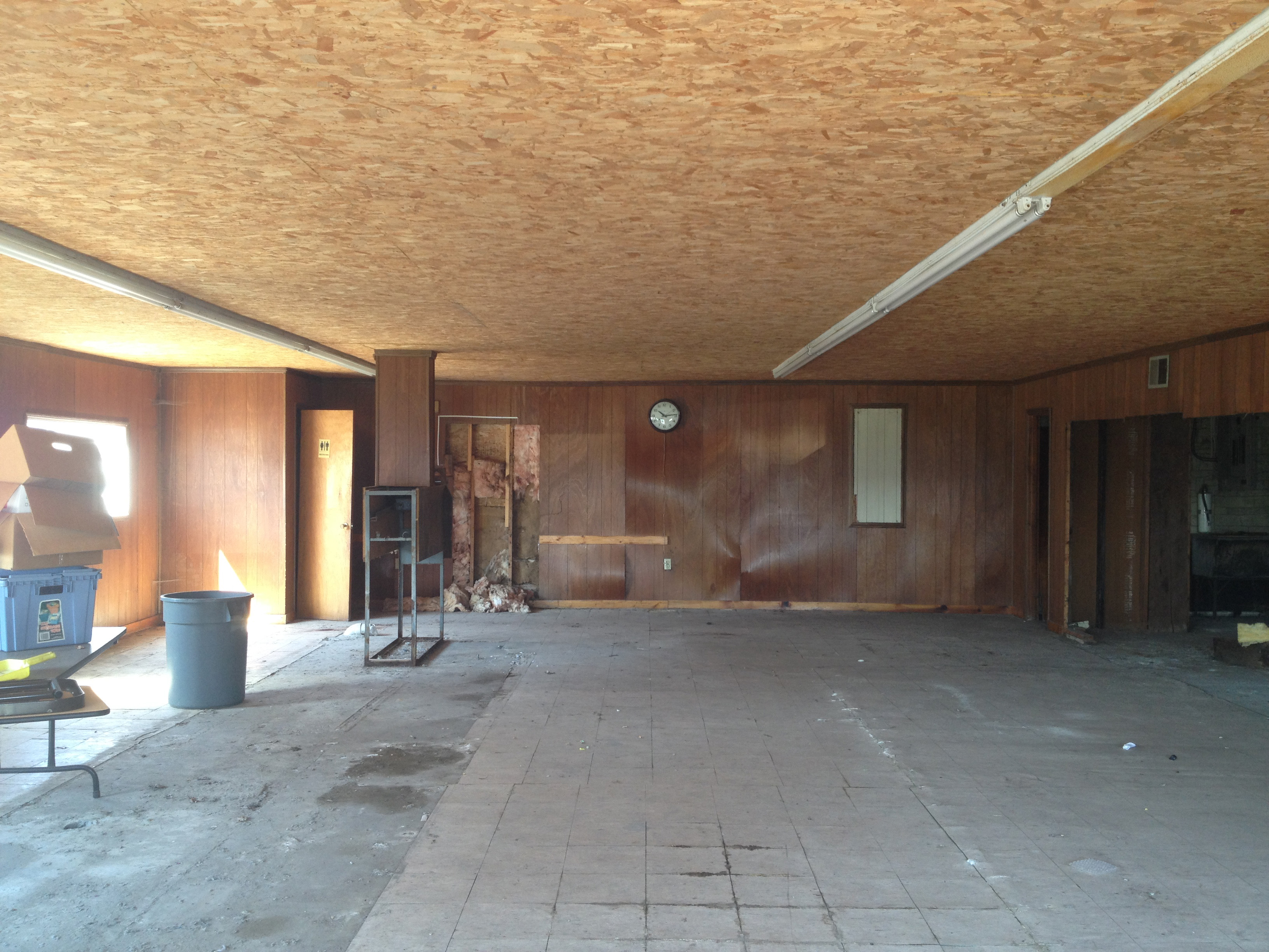
Horseshoe Club
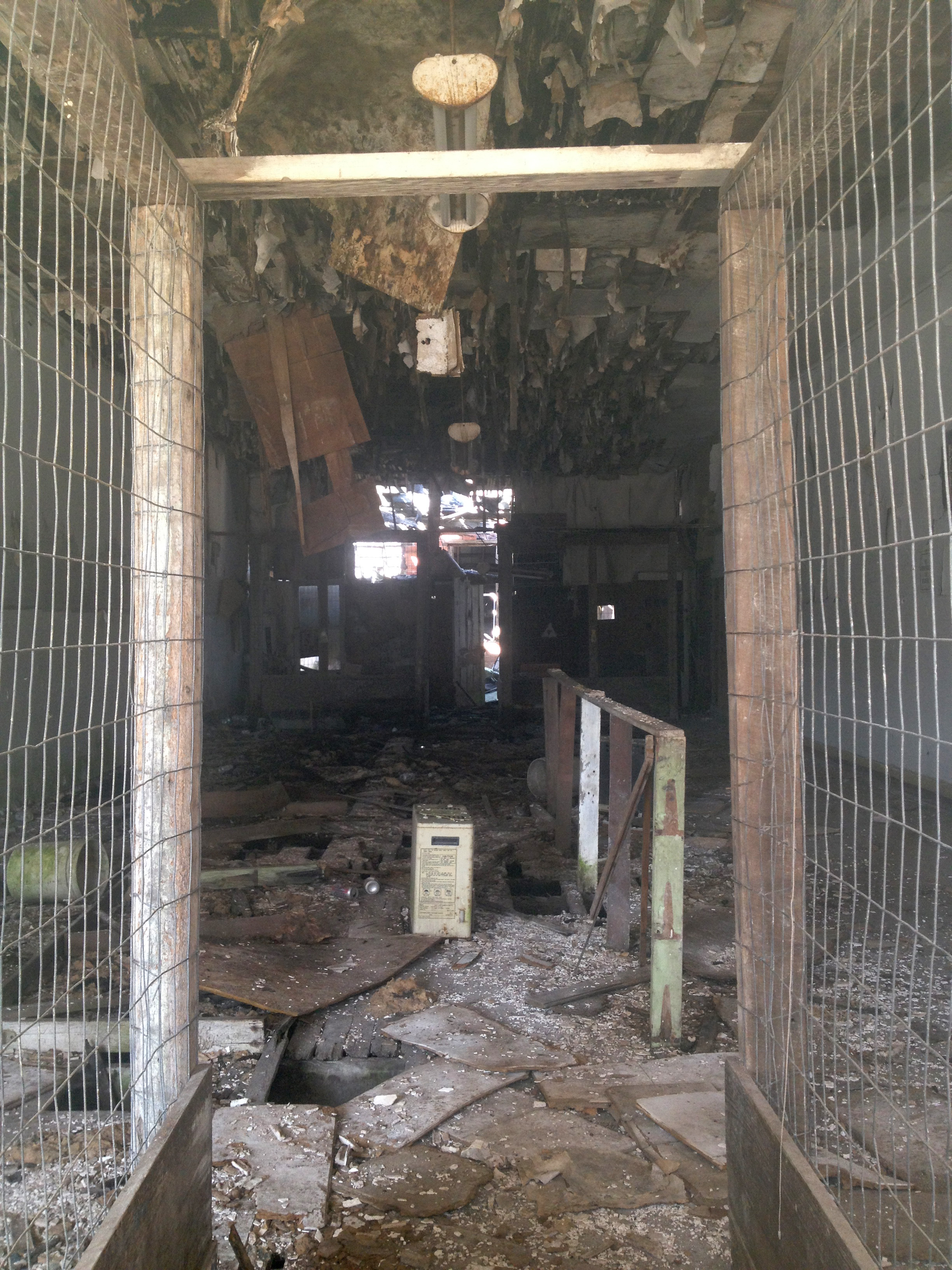
Abandoned store
Launderama 3

Loaf's dog
Launderama 1

Loaf's dragon
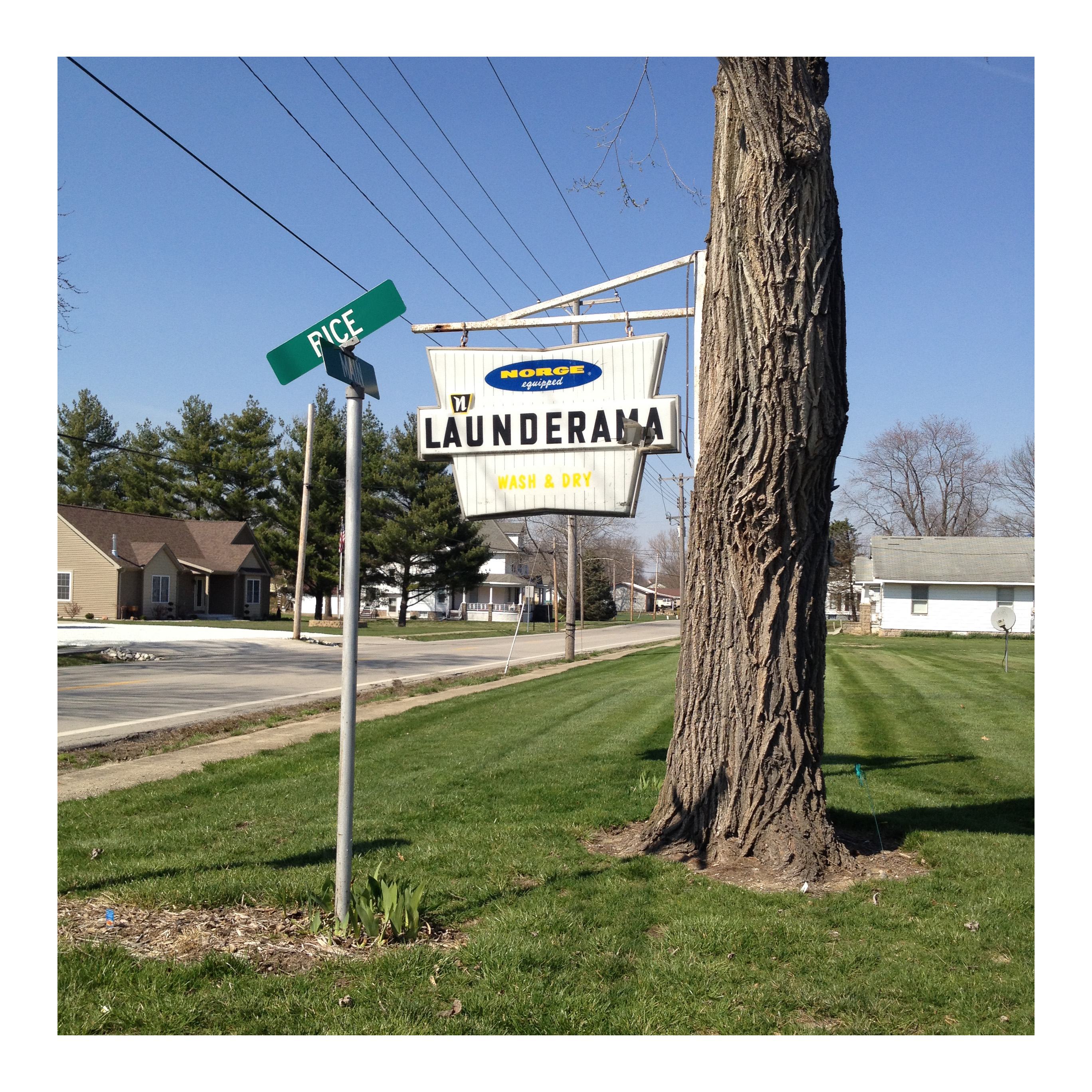
Launderama 2

happiness is ...
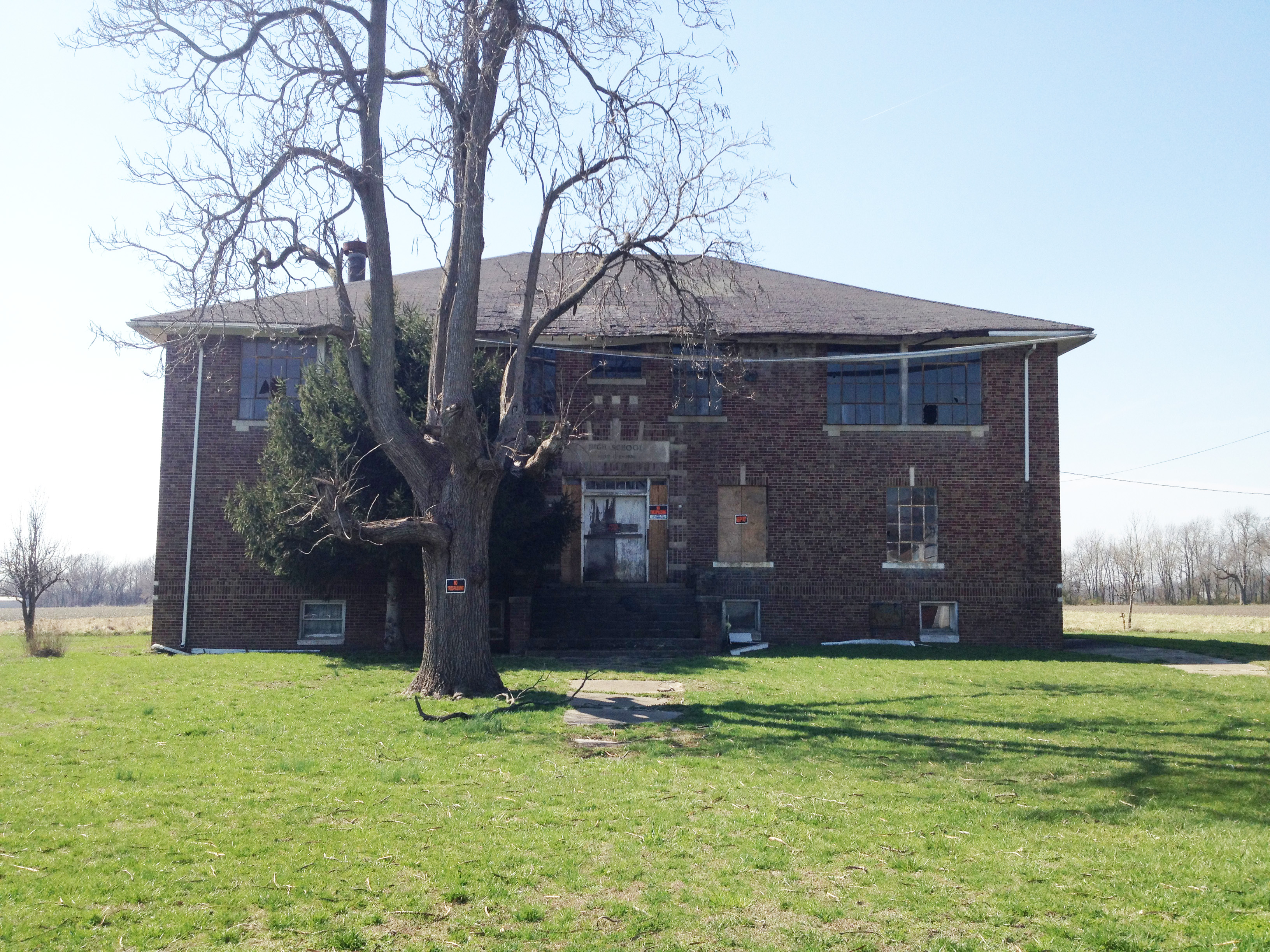
High School

Press box - 2016

Tree, house

girl watchin'
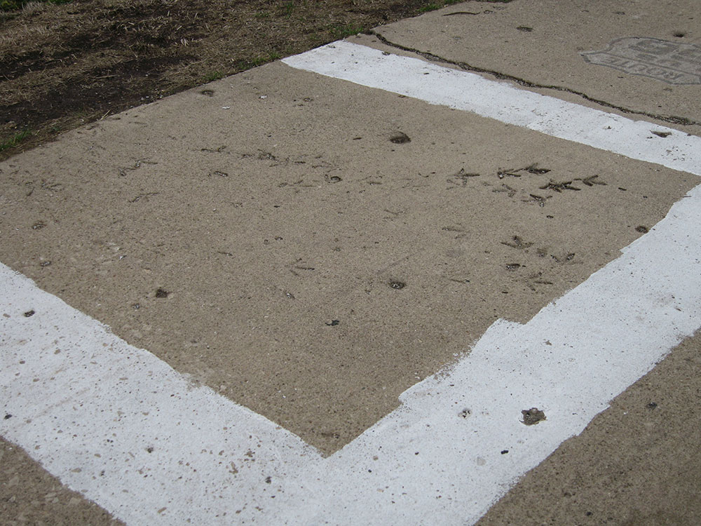
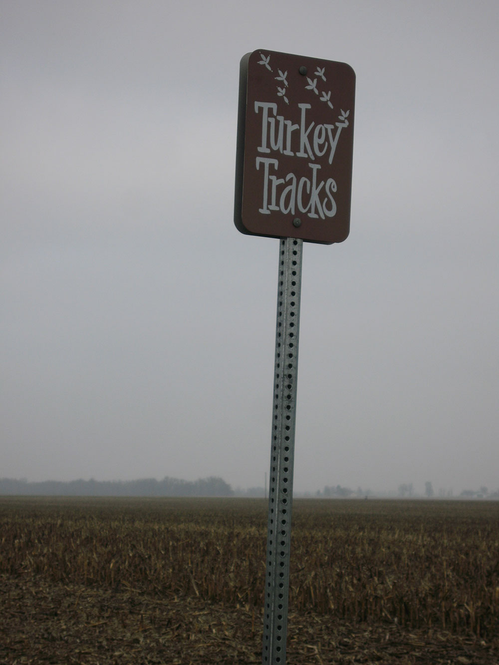
Turkey tracks in cement
Turkey tracks in cement

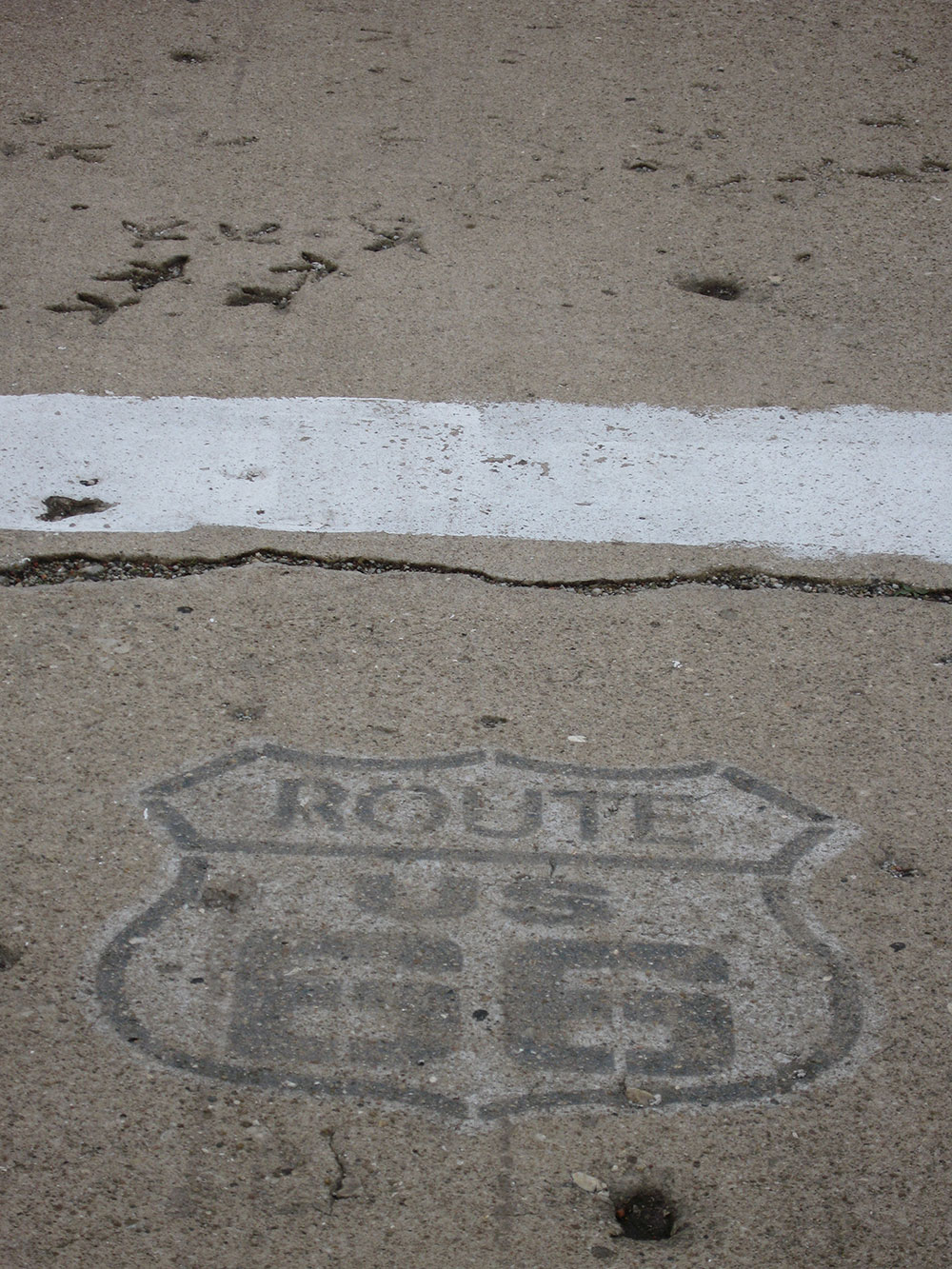
Route 66 - 13 Star Flag Barn
Turkey tracks in cement

Turkey tracks in cement
Topographic Map of N Main St, Palmyra, IL, USA
Find elevation by address:

Places near N Main St, Palmyra, IL, USA:
Palmyra
North Palmyra Township
20 Main St, Modesto, IL, USA
Modesto
Rohrer Rd, Waverly, IL, USA
Waverly
Virden
Van Ave, Virden, IL, USA
Nilwood Township
2nd Ave, Waggoner, IL, USA
Harrison Ave, Auburn, IL, USA
Auburn Township
Hunley Rd, Auburn, IL, USA
Loami Township
124 S Main St
W Center St, Loami, IL, USA
Loami
New Berlin Township
Sangamon Morgan County Line Rd, New Berlin, IL, USA
Auburn
Recent Searches:
- Elevation of Martins Mill Ct, Eagle Rock, NC, USA
- Elevation of Kippen, Stirling FK8, UK
- Elevation of Sieveringer Straße, Sieveringer Str., Wien, Austria
- Elevation of Bratskaya Ulitsa, 24, Kurgan, Kurganskaya oblast', Russia
- Elevation of Paradisvegen, Biri, Norway
- Elevation of Crystal Cir, Birmingham, AL, USA
- Elevation of N Railroad Ave, West Palm Beach, FL, USA
- Elevation of 55 Cassick Valley Rd, Wellfleet, MA, USA
- Elevation of Ironwood Dr, Minden, NV, USA
- Elevation of 高尾山口駅, Takaomachi, Hachioji, Tokyo -, Japan