Elevation of N Main St, Hettick, IL, USA
Location: United States > Illinois > Hettick >
Longitude: -90.036758
Latitude: 39.3551634
Elevation: 184m / 604feet
Barometric Pressure: 99KPa
Elevation Map:
Satellite Map:
Related Photos:
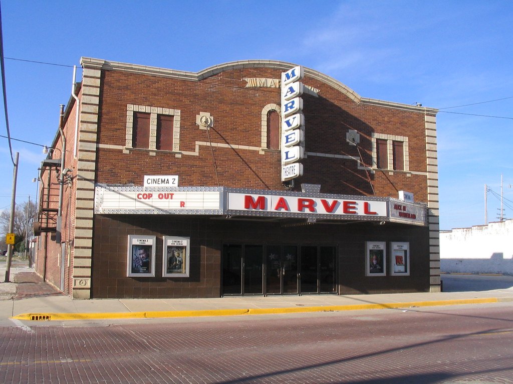
Marvel Theater
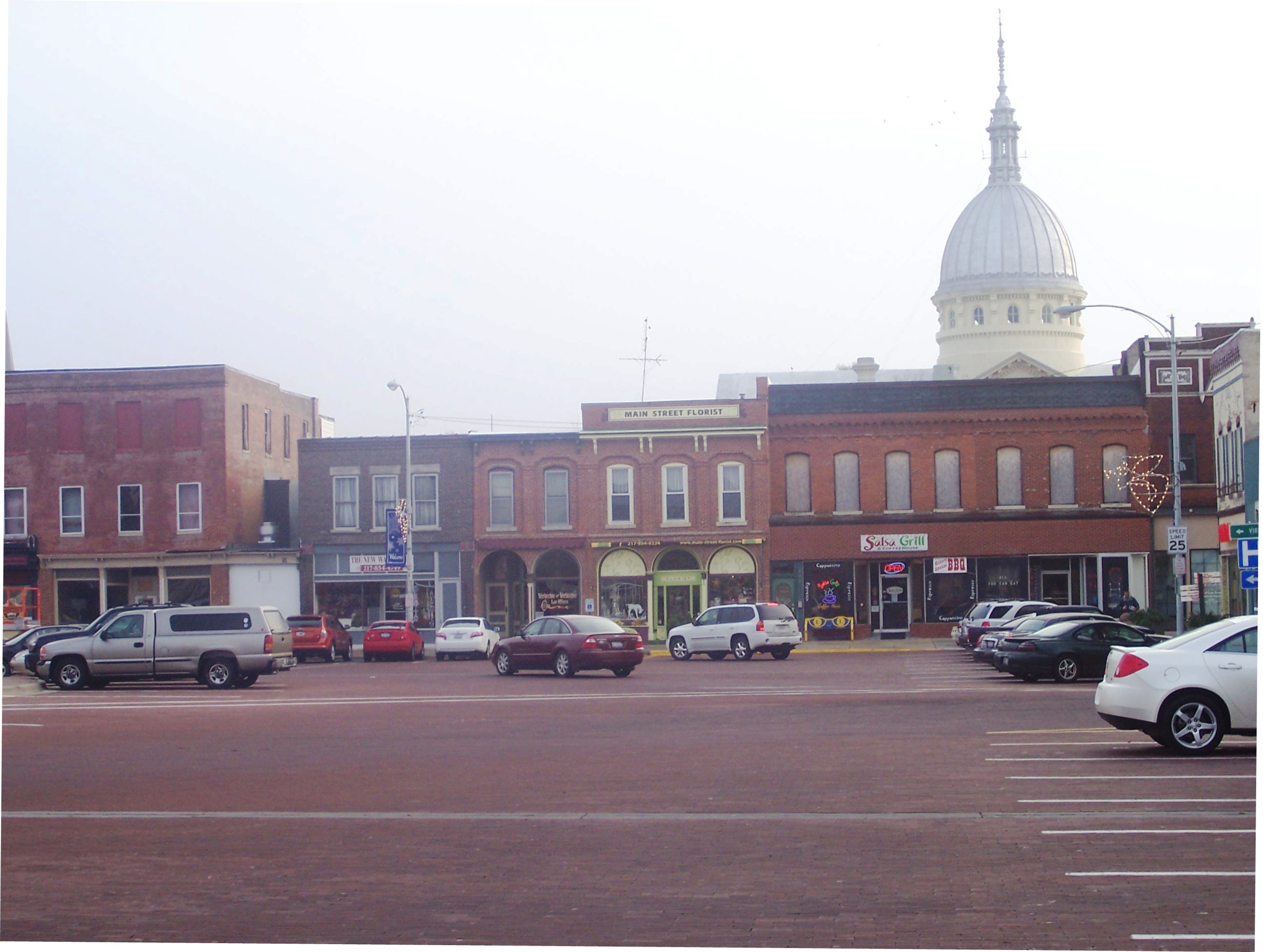
Carlinville Illinois Town Square
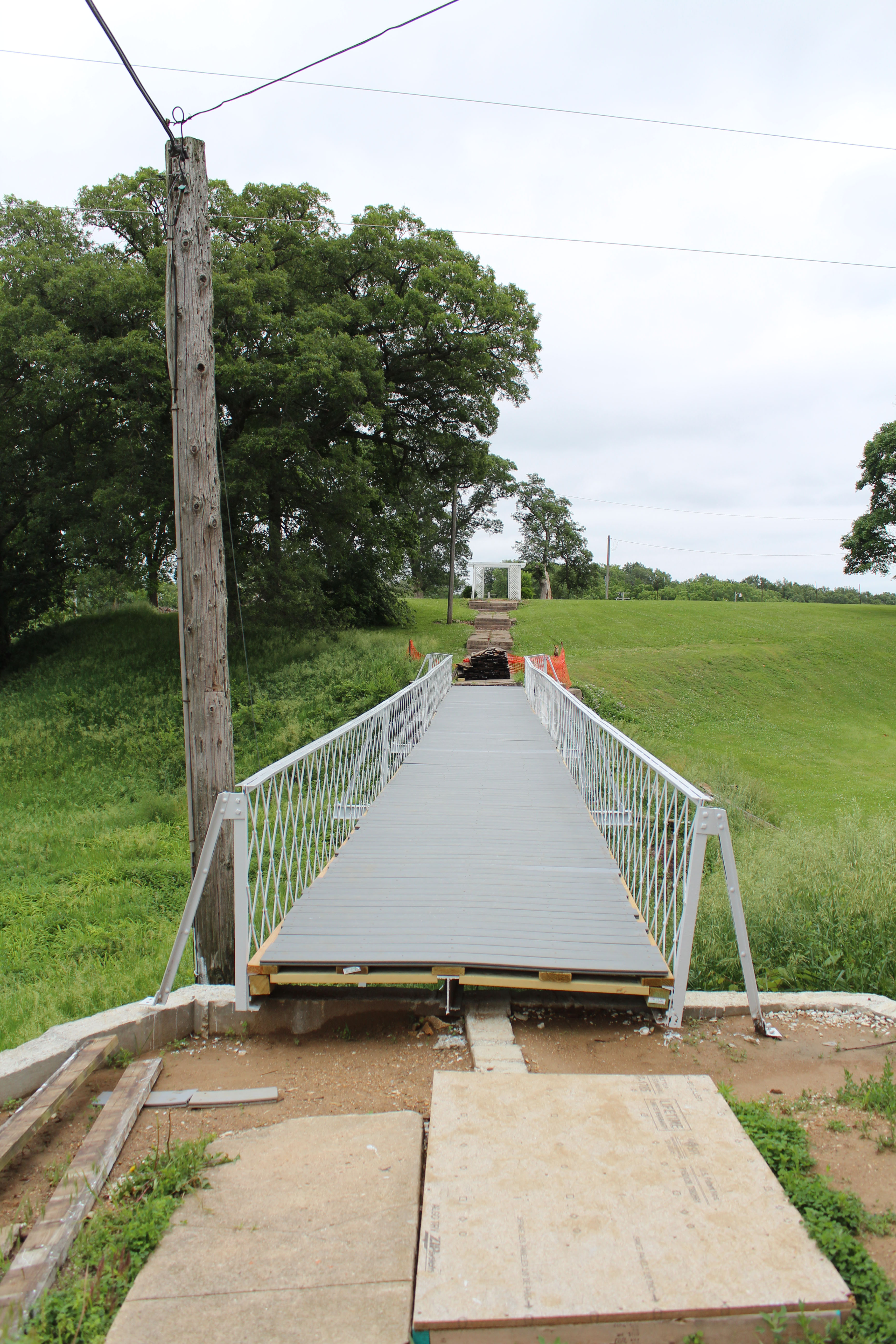
School bridge
homework 036

homework 041

Turtles,geese
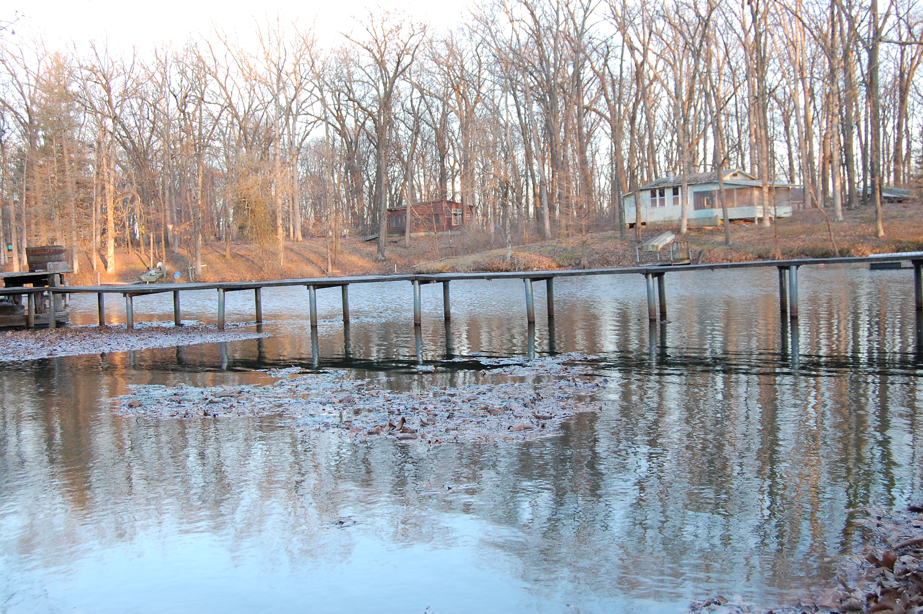
homework 038

homework 035
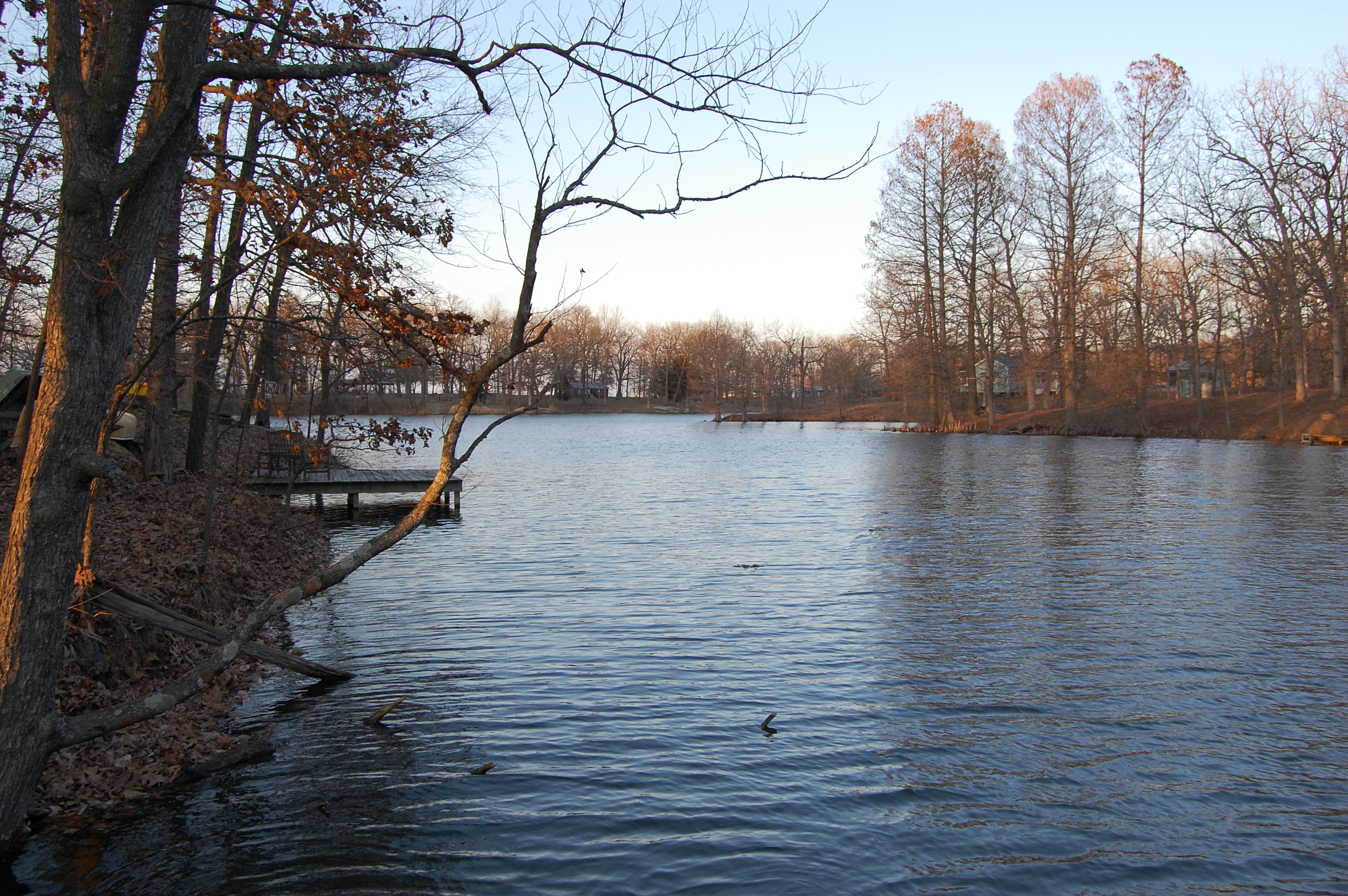
homework 030
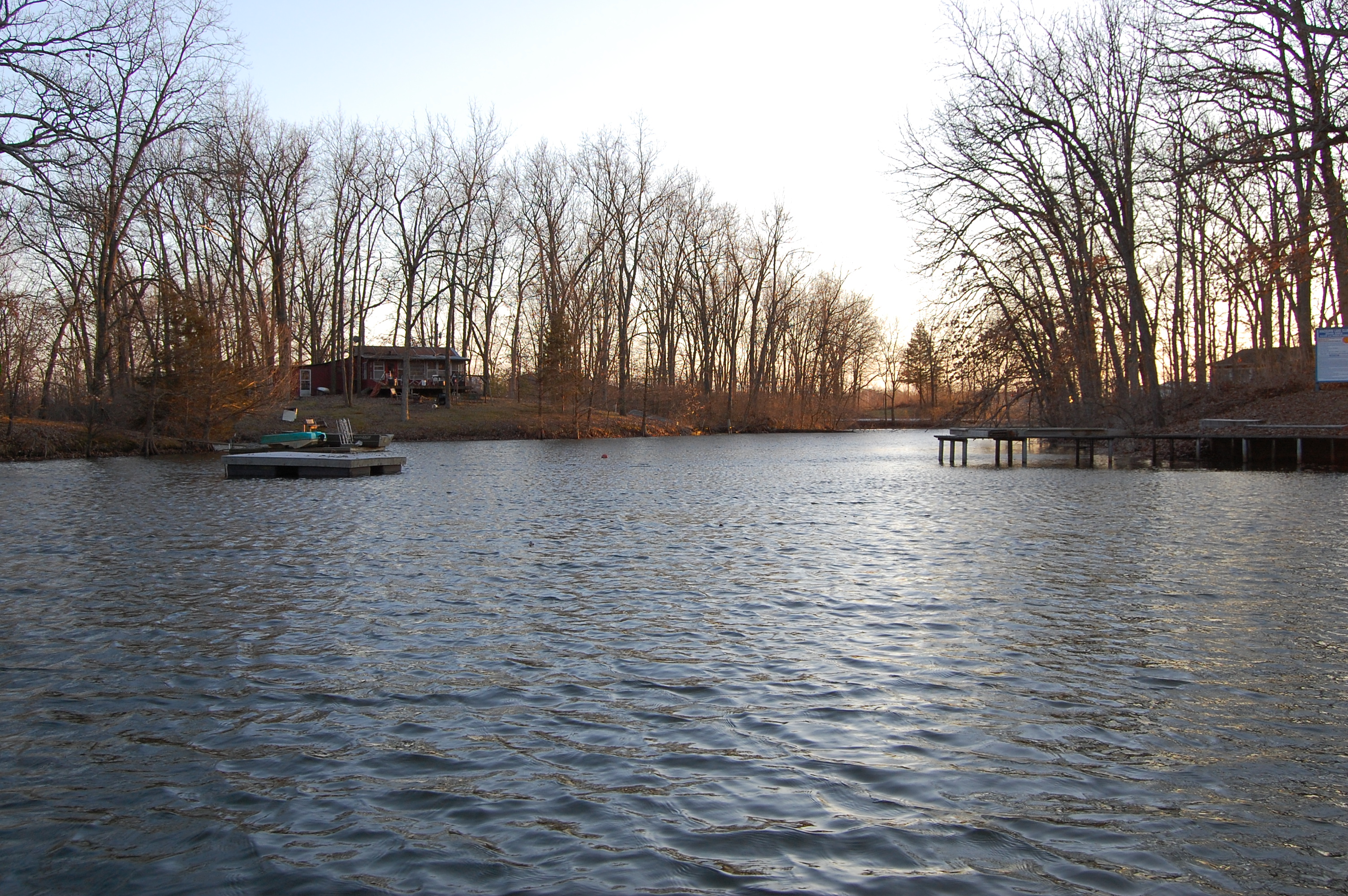
homework 029

So Close
Topographic Map of N Main St, Hettick, IL, USA
Find elevation by address:

Places near N Main St, Hettick, IL, USA:
Hettick
20619 Amherst Rd
Chesterfield
Chesterfield Township
Greenfield
Rockbridge Township
South St, Medora, IL, USA
Rockbridge
Railroad St, Medora, IL, USA
Northeast 1000 Avenue
325 Railroad St
Medora
34 E, Greenfield, IL, USA
State St, Fidelity, IL, USA
Fidelity
N, Piasa, IL, USA
Piasa
Fidelity Township
Bowman Station Rd, Jerseyville, IL, USA
4790 Hopkins Ln
Recent Searches:
- Elevation of N Railroad Ave, West Palm Beach, FL, USA
- Elevation of 55 Cassick Valley Rd, Wellfleet, MA, USA
- Elevation of Ironwood Dr, Minden, NV, USA
- Elevation of 高尾山口駅, Takaomachi, Hachioji, Tokyo -, Japan
- Elevation of 15 Victory Ave, Greenville, SC, USA
- Elevation of Kota Ternate Utara, Ternate City, North Maluku, Indonesia
- Elevation of Allon St, Oceanside, NY, USA
- Elevation of Carroll Creek Rd, Custer, SD, USA
- Elevation of Lust Road, Lust Rd, Florida, USA
- Elevation of Pleasant Valley Rd NW, Adairsville, GA, USA